Overview
Like Freedom Riders National Monument in Alabama, President Obama established Reconstruction Era National Monument in 2017. The park is located about an hour south of Charleston, South Carolina and is still under development, but they already have a Junior Ranger program. The Reconstruction Era took place following the Civil War when the U.S. military helped freed African-American slaves integrate into southern society. It was a complicated and mostly failed social experiment with long-lasting repercussions within American culture.

Highlights
Old Beaufort Firehouse, Robert Smalls Memorial, Camp Saxton, Penn Center, Brick Baptist Church
Must-Do Activity
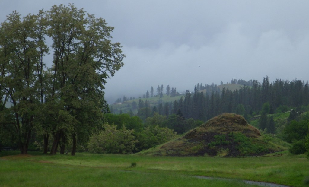
We recommend the ranger-guided tour of Camp Saxton that leaves from the National Park Service (NPS) operated Porter’s Chapel, next to the skate park in Port Royal, South Carolina. Following the loss of Fort Sumter, the Union Army occupied this area by late-1861, eventually training former slaves to serve as soldiers. There is nothing left to see of the camp, but there are tabby walls from old Fort Frederick. After a short walk, the park ranger will help you imagine what the scene would have looked like when the black soldiers were officially freed on Emancipation Day, January 1, 1863.
Best Trail
You can walk around the historic Penn Center (guided tours offered) where the NPS maintains a visitor center in Darrah Hall, a donated part of this National Historic Landmark that has a long history of African-American education.
Instagram-worthy Photo
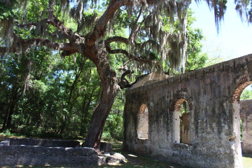
The Old Sheldon Church Ruins are not technically part of the park, but they are located just down the road from the Penn Center. The Parrish Church of St. Helena outside Beaufort is also very photogenic.
Peak Season
Summer
Hours
https://www.nps.gov/reer/planyourvisit/hours.htm
Fees
None
Road Conditions
All major access roads are paved, although parking can be scarce around Port Royal during the farmers’ market.
Camping
Hunting Island and Edisto Beach State Parks both take camping reservations, so book early. There are also campgrounds and backcountry campsites north of Charleston, South Carolina in Francis Marion National Forest.
Related Sites
Fort Sumter and Fort Moultrie National Historical Park (South Carolina)
Camp Nelson Heritage National Monument (Kentucky)
Fort Monroe National Monument (Virginia)


Tiff at the Old Beaufort Firehouse 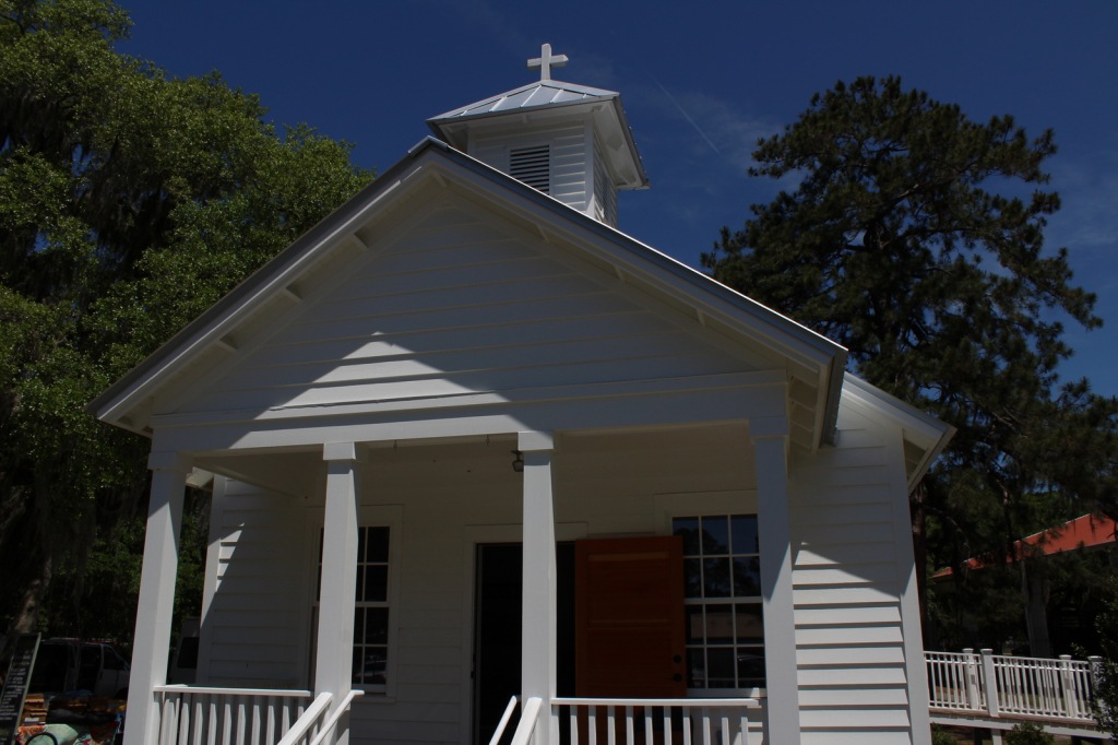
Porter’s Chapel 
Scott and Tiff on the tour to Camp Saxton 
Ranger at site of Camp Saxton 
Darrah Hall 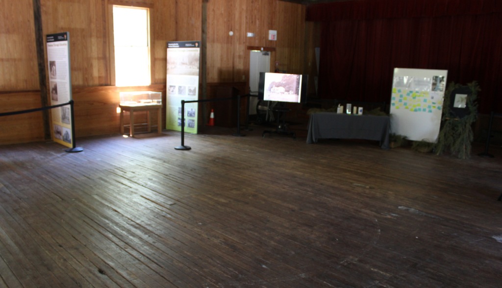
Inside Darrah Hall 
Brick Baptist Church 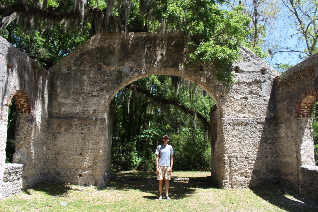
Scott at Old Sheldon Church Ruins 
Parrish Church of St. Helena outside Beaufort 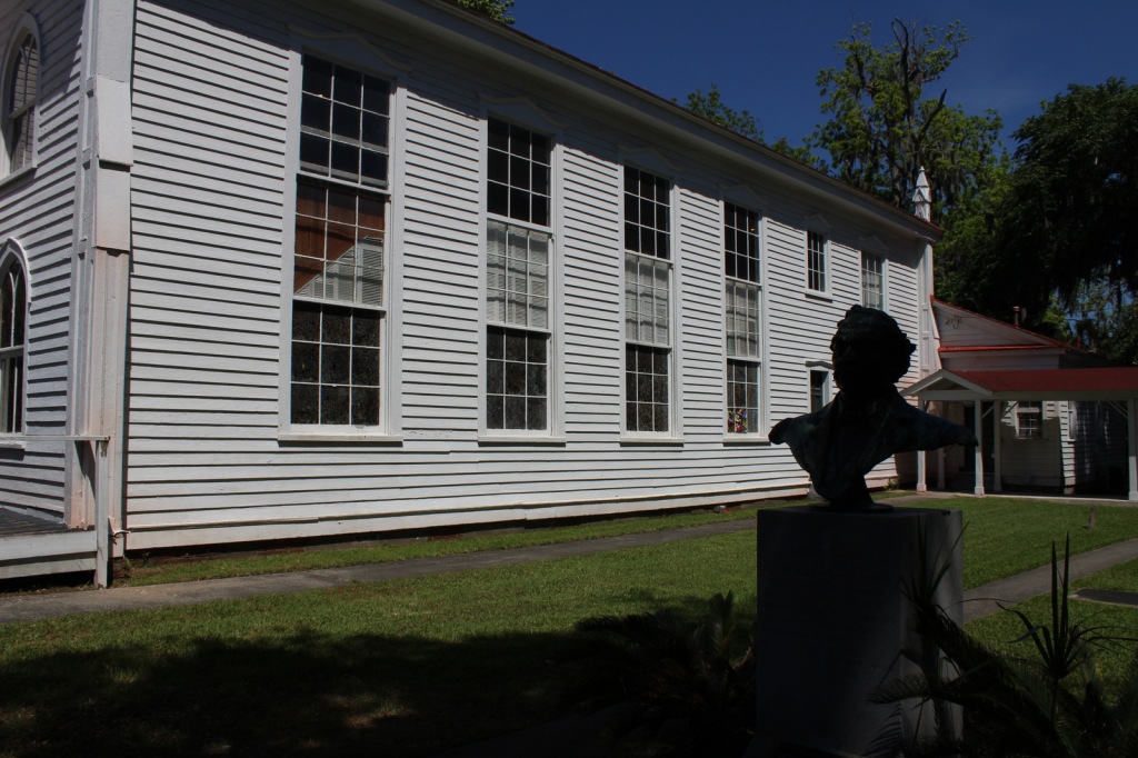
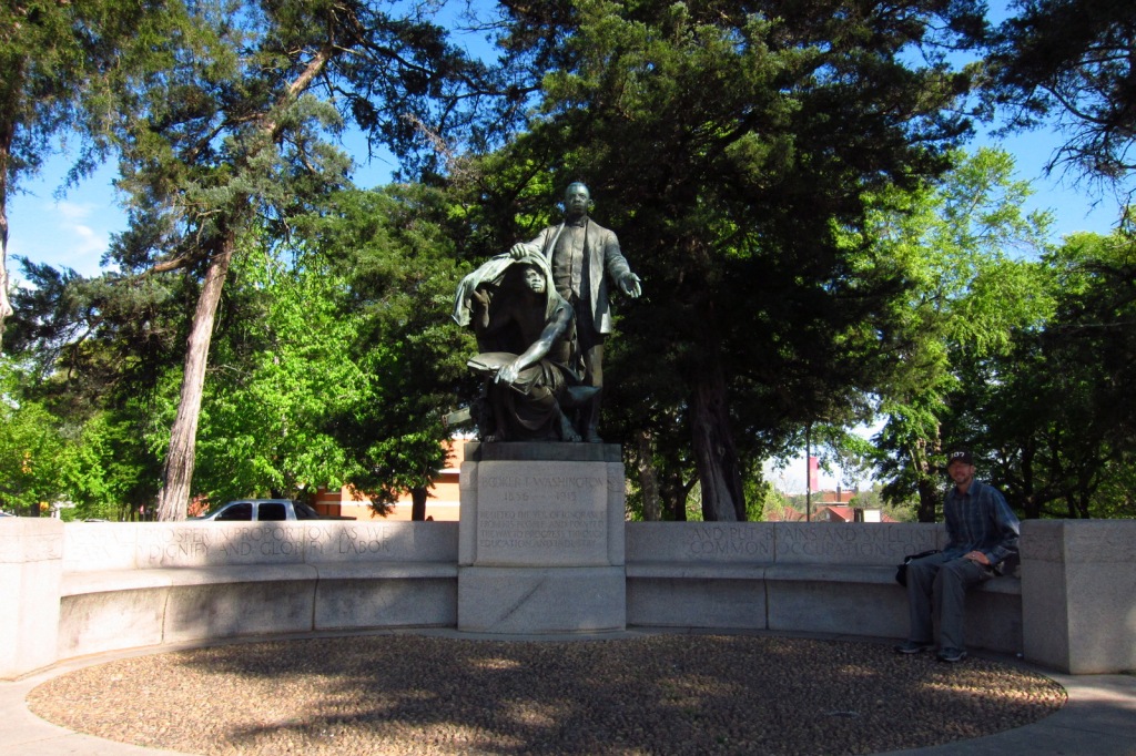
Robert Smalls Memorial in Beaufort
Explore More – How did future U.S. Congressman Robert Smalls escape slavery during the Civil War?