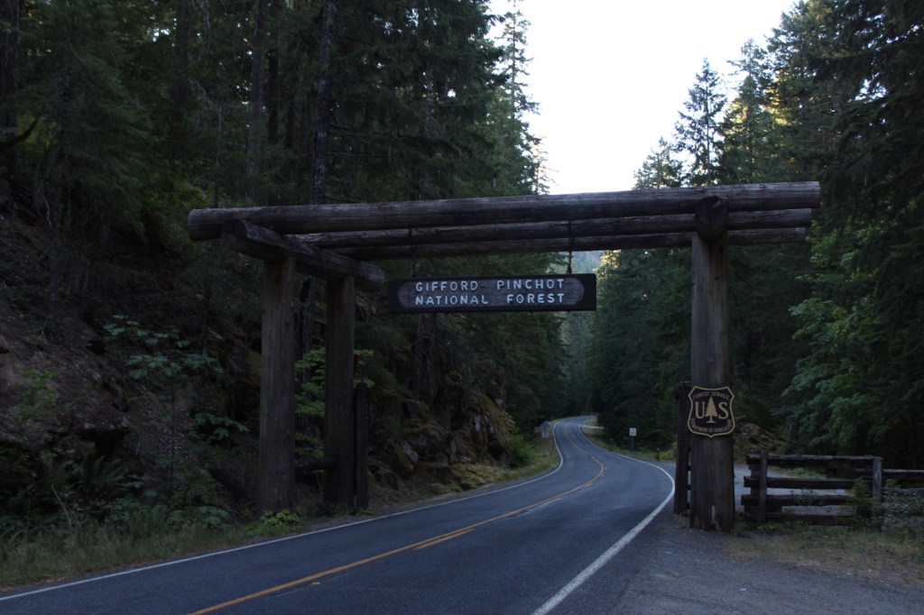
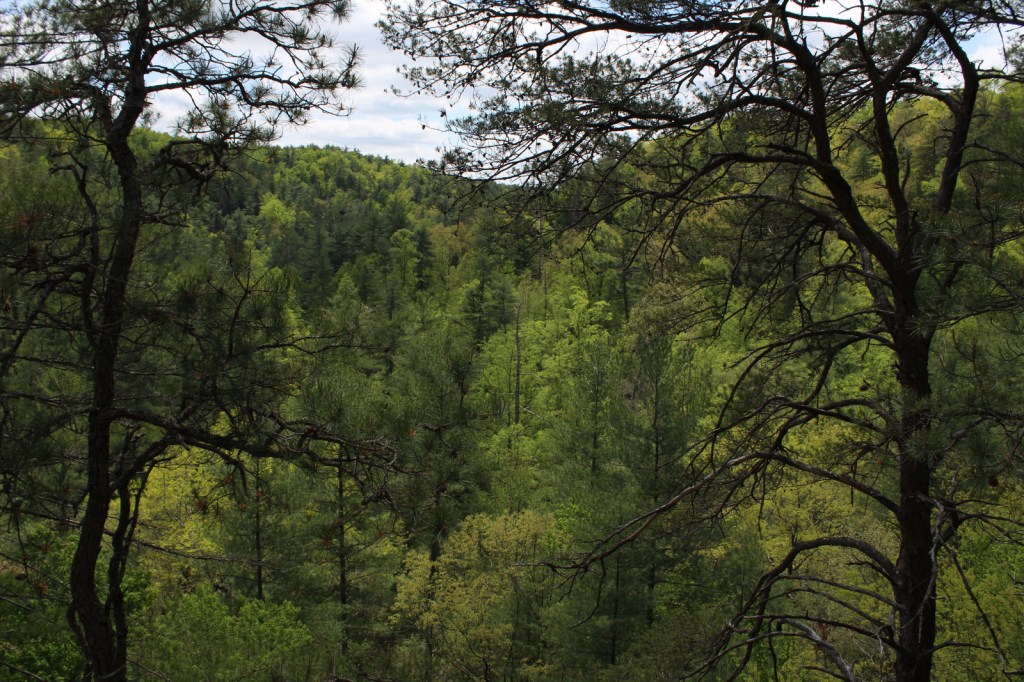
Green Mountain National Forest
Vermont
Managed by U.S. Forest Service, Eastern Region
821,040 acres (399,151 federal/ 421,889 other)
Website: https://www.fs.usda.gov/gmfl
Overview
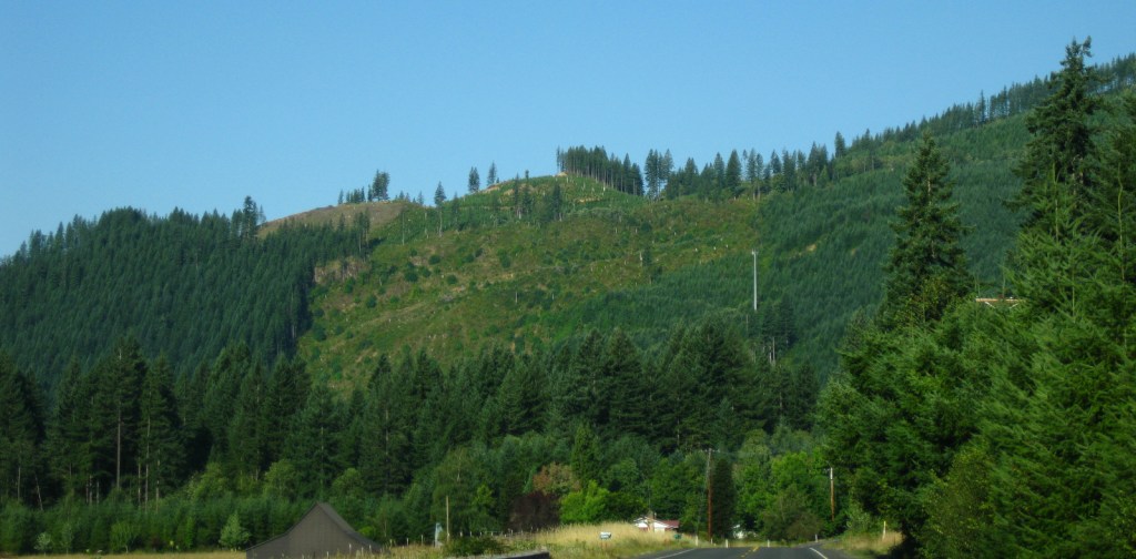
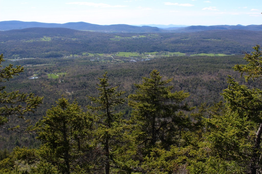
The only National Forest in Vermont is divided into a north and south section, each with its own National Recreation Area. In the north, Moosalamoo National Recreation Area has the Voter Brook Overlook and trails to the Falls of Lana and Silver Lake, which has a popular backpacking campground. In the south, Robert T. Stafford White Rocks National Recreation Area includes a portion of the historic Long Trail where the Appalachian National Scenic Trail overlaps it. Vermont literally translates as Green Mountain from French, the name of the range that forms the state’s granite backbone. Winter recreation is a big deal here, with three alpine ski areas in the National Forest and seven designated cross-country ski areas, as well as 900 miles of trails for snowshoeing and some areas open specifically for snowmobiling. Green Mountain National Forest also co-manages Finger Lakes National Forest in central New York.

Highlights
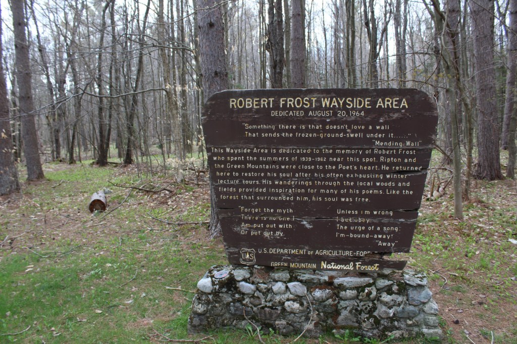
Moosalamoo National Recreation Area, White Rocks National Recreation Area, Hapgood Pond Recreation Area, Texas Falls, Robert Frost Wayside, Voter Brook Overlook, Falls of Lana, Devil’s Den Cave, Lye Brook Falls, Moss Glen Falls, Mt. Ellen, Robert Frost Interpretive Trail, Long Trail, Appalachian National Scenic Trail
Must-Do Activity
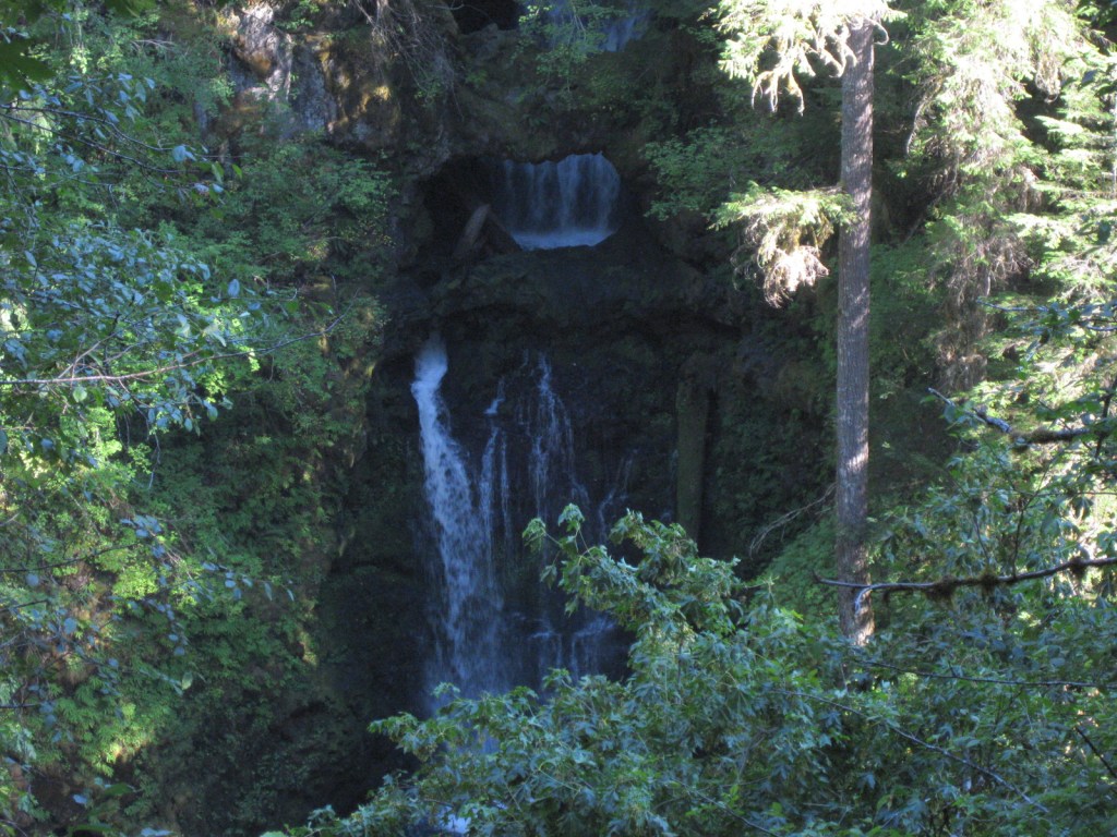
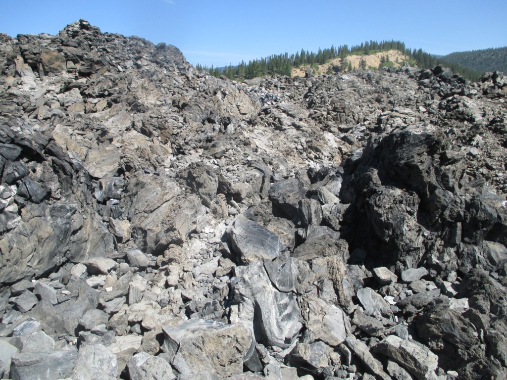
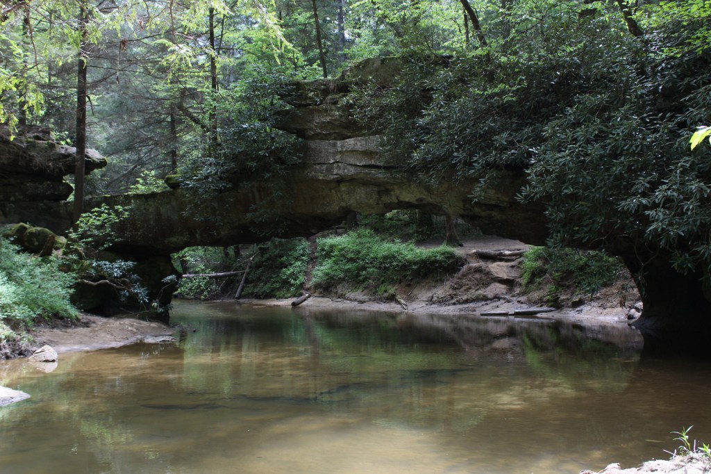
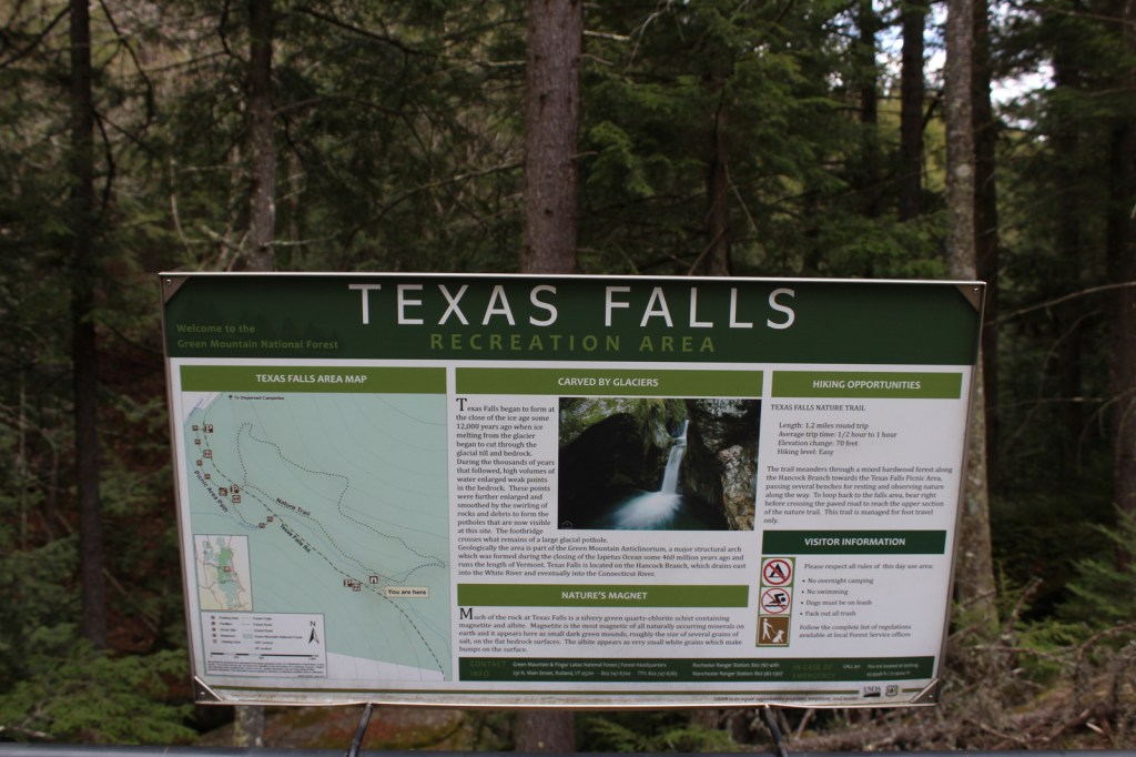
Texas Falls is not located in the right place on the Forest Service visitor app, but it is easy to get to right alongside paved Texas Falls Road off State Route 125. The falls formed at the end of the Ice Age around 12,000 years ago, when meltwater scoured the quartz-chlorite schist. A footbridge crosses the Hancock Branch over an interesting glacial pothole in the rock, and a nature trail continues uphill forming a 1.2-mile loop. We did not make it to Lye Brook Falls or Moss Glen Falls, but found the off-trail Falls of Lana worth the effort (see Moosalamoo National Recreation Area).
Best Trail
Green Mountain National Forest contains about half of the 272-mile Long Trail, which in 1931 became the first named long-distance hiking trail in the U.S. In Robert T. Stafford White Rocks National Recreation Area, the Long Trail is coincident with the Appalachian National Scenic Trail (AT) with several overnight shelters (some of which charge $5 per person, per night).
Watchable Wildlife
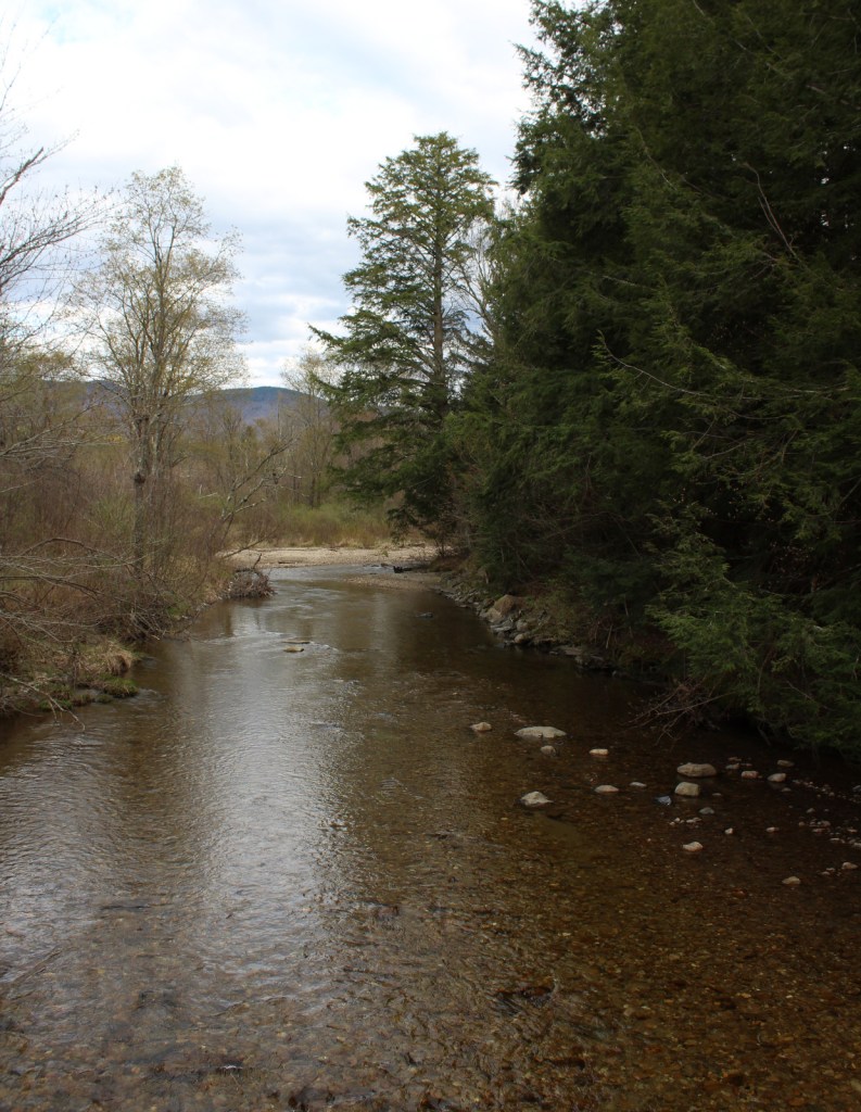
The National Forest contains 450 miles of streams, which is great for trout and salmon fishermen, especially since some wildlife management projects have been done to improve their habitat. Other work has been completed to support ruffed grouse, wild turkey, black bear, and Bicknell’s thrush. We were told by a local that there is a black bear named Jenny that hangs out around the White Rocks Day Use Area. Additional species of interest include moose, white-tailed deer, coyote, porcupine, and beaver.
Instagram-worthy Photo
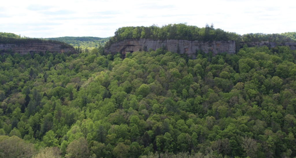
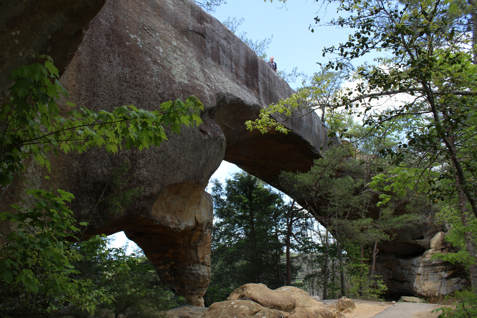
Less than a mile up the Ice Beds Trail, a short climb reaches a viewpoint of the white rocks, a glacier-scoured cliff of Cheshire quartzite that is (part of) the namesake for Robert T. Stafford White Rocks National Recreation Area.

Peak Season
Fall
Fees
Ski areas at Mount Snow, Stratton Mountain, and Bromley Mountain have recreation fees. Along the Long Trail/AT, there is a camping fee of $5 per person, per night at Little Rock Pond, Peru Peak, Stratton Pond, and Griffith Lake.
Road Conditions
All the gravel roads we drove were in good shape during the spring, including the roads to Voter Brook Overlook and White Rocks Day Use Area.
Camping
One of the most developed parts of the National Forest is at 7-acre Hapgood Pond where there is a campground, swimming beach, and boat ramp. Moosalamoo Campground has 18 campsites located at the base of the Mt. Moosalamoo Trail, near Voter Brook Overlook. There are a couple dispersed campsites also on the road, but we had one of our worst nights camping here with college kids blasting music late and another group waking us up before sunrise. The backpacking campground at Silver Lake is nice, or you can stay at Branbury State Park on Lake Dunmore.
Wilderness Areas
Big Branch Wilderness
Breadloaf Wilderness
Bristol Cliffs Wilderness
George D. Aiken Wilderness
Glastenbury Wilderness
Joseph Battell Wilderness
Lye Brook Wilderness
Peru Peak Wilderness
Related Sites
Marsh-Billings-Rockefeller National Historical Park (Vermont)
Saint-Gaudens National Historical Park (New Hampshire)
White Mountain National Forest (New Hampshire-Maine)
Nearest National Park

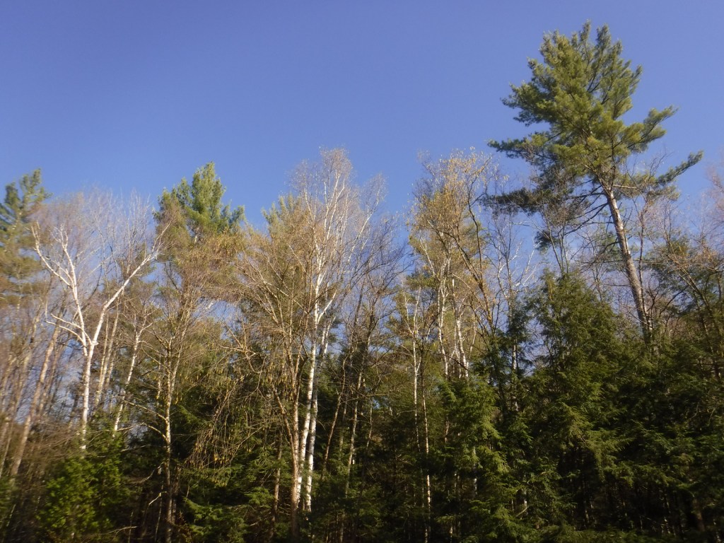


eastern hemlock, eastern white pine, red pine, red spruce, balsam fir
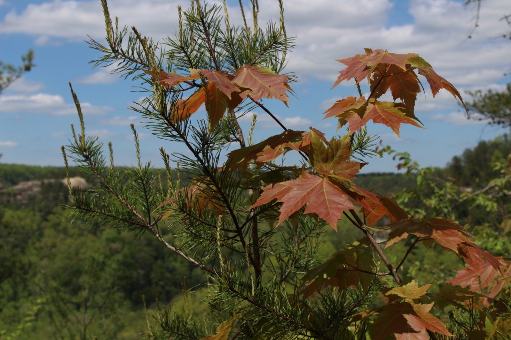
sugar maple, American beech, yellow birch, white birch, paper birch, mountain ash
Explore More – Texas Falls is located on the Hancock Branch, which feeds the White River that converges with what major river?

Learn more about this and the 154 other National Forests in our new guidebook Out in the Woods
We are a participant in the Amazon Services LLC Associates Program, an affiliate advertising program designed to provide a means for us to earn fees by linking to Amazon.com and affiliated sites.