Tag Archives: camping

Indiana Dunes National Park

Overview

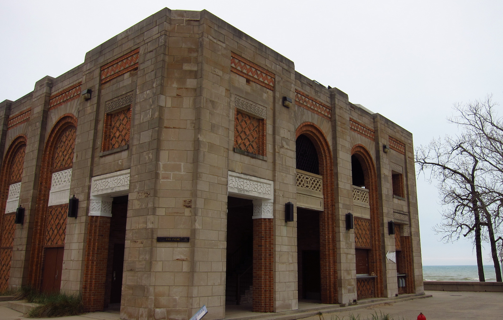
A 20th-century battleground east of Chicago between industrialists seeking to build more steel mills and conservationists wanting to preserve natural diversity, in 1966 Indiana Dunes National Lakeshore was created as a compromise between the opposing sides.  Its scattered bogs and dunes surround a beachside state park on Lake Michigan that dates back to the 1920s, with an Art Deco bathhouse dating to that era.

Update: As of February 15, 2019 it is called Indiana Dunes National Park.

Indiana

Highlights

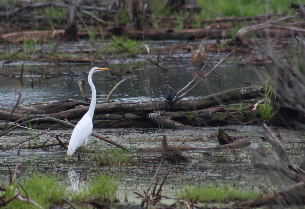
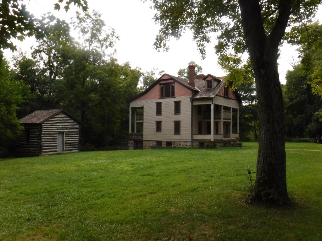
West Beach, Bailey Homestead, Chellberg Farm, Century of Progress Homes, Mount Baldy, Glenwood Dunes Trail, heron rookery

Must-Do Activity

It is worth the price of admission to access the trail system within Indiana Dunes State Park to complete the 3 Dunes Challenge.  Take your photos back to the joint NPS-State Park visitor center to claim your prizes.

Best Trail

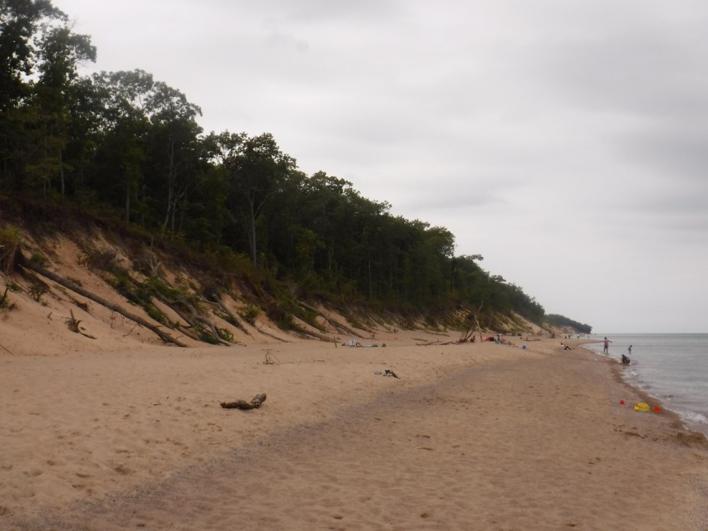
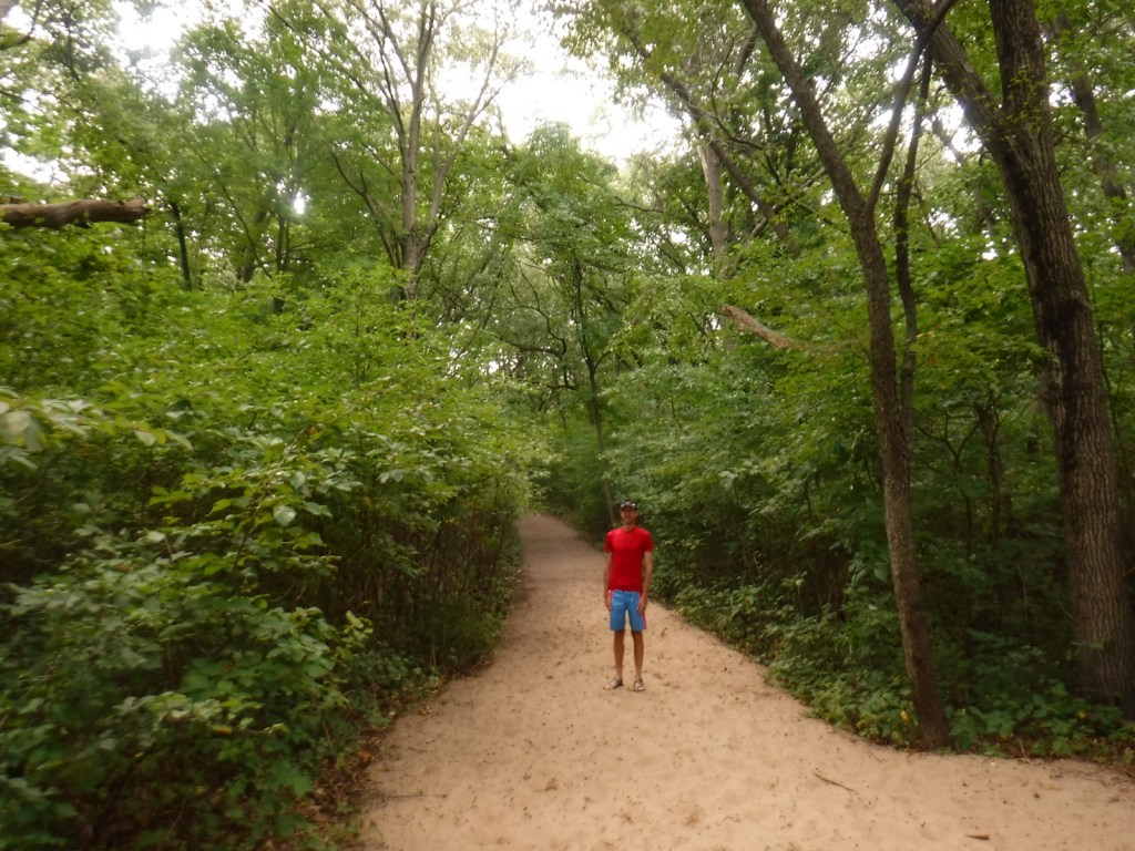
Cowles Bog Trail covers 5 rugged miles and accesses an isolated beach with views of the Chicago skyline. The trail to the top of Mount Baldy is closed due to erosion.

Instagram-worthy Photo

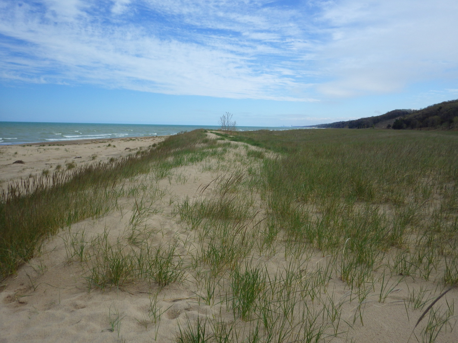
Beach grasses with a backdrop of a steel mill are a surreal mix on the Cowles Bog Trail.

Peak Season

The park is open year round, with the Lake Michigan beaches attracting crowds in the summer.

Hours

https://www.nps.gov/indu/planyourvisit/hours.htm

Fees

No admission for most of the National Park, except $6 per vehicle for summer lifeguards at West Beach and $12 per vehicle day use fee year round to enter Indiana Dunes State Park.

Road Conditions

All roads are paved.

Camping

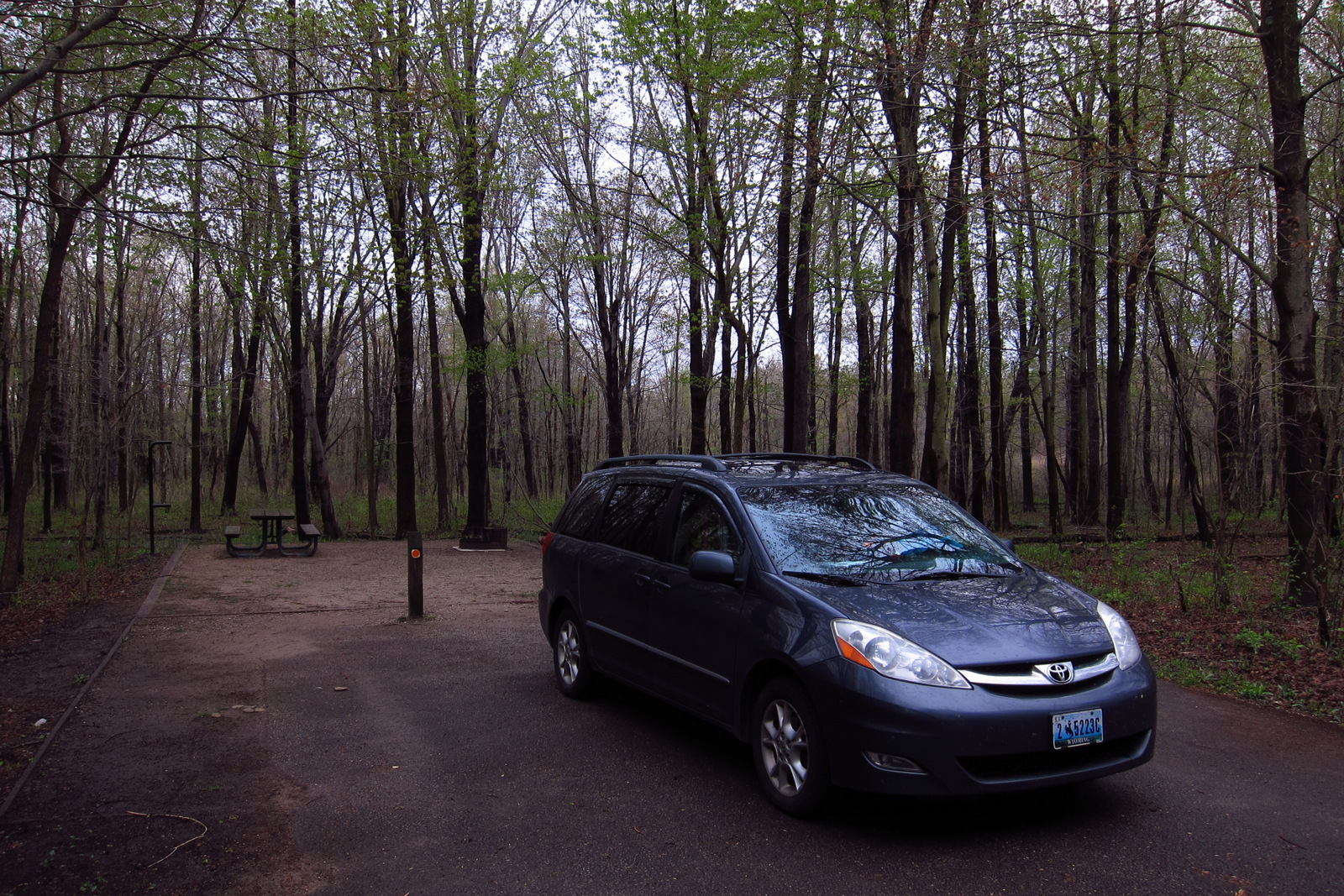
While it is not on the beach, we enjoyed the quiet Dunewood Campground (fee) with its hot showers.

INDU4
INDU
Historic bathhouse at Indiana Dunes State Park.
Climbing the dunes - there was a hiking challenge, so we had to do it
A view of Chicago from the dunes
The Chicago skyline is visible from the beach.
Baby geese!
INDU3
INDU
This design we created to celebrate Indiana Dunes National Park is available on a variety of products at Cafe Press and Amazon.

Explore More – Mount Baldy stands 126 feet tall, but how much shorter is that than Mount Tom in neighboring Indiana Dunes State Park?

We are a participant in the Amazon Services LLC Associates Program, an affiliate advertising program designed to provide a means for us to earn fees by linking to Amazon.com and affiliated sites.

City of Rocks National Reserve

Overview

In the high desert of southeast Idaho stands a collection of granite spires that served as a welcome rest stop along the California Trail.   At the height of the gold rush in 1852, some 50,000 pioneers passed this site in a single year.  Many left their names painted in axle grease, still legible on Camp Rock and Register Rock.  Today it is a popular destination for rock climbers from around the world, but also has 22 miles of hiking and equestrian trails.

Rocks2.JPG

Highlights

Rock climbing, Register Rock, Window Arch, primitive camping

Must-Do Activity

Rock climbers flock here from around the world to take on the granite spires that inspired emigrants on the California Gold Rush Trail to name it City of Rocks.  The grippy granite is fun for any skill level to clamber around on and easily accessible from all campsites.

Best Trail

Trails snake through this area leading to different climbing routes, especially around Elephant Rock, which is a great place to watch other climbers.  Keep watching the skies, too, as a variety of raptors (and pigeons) enjoy the thermals here.

Instagram-worthy Photo

Window Arch is a great place to watch the sun come up, just try not to wake up campers in the neighboring sites.

July Oregon 2318.JPG

Peak Season

Summer, since it is very cold at this elevation (7,000 feet) in other seasons.  Autumn briefly turns aspen leaves yellow.

Hours

https://www.nps.gov/ciro/planyourvisit/hours.htm

Fees

Free to enter and only $12.72 to camp per night (so bring exact change)

Road Conditions

A dirt road winds through the park and is accessible to passenger vehicles.

Camping

78 primitive campsites located off the dirt Emery Canyon Road, with several nice sites sit right next to Window Arch.  For more upscale accommodations try the Lodge and Bunkhouse at nearby Castle Rocks State Park.

Lots of fins

IMG_3447

IMGP6621

One of the more famous inscriptions
Emigrants on the California Trail passed right through here.

CIRO

Explore More – How many billions of years ago did the oldest granite here form?

1WonsTiny

WONDON WAS HERE

Organ Pipe Cactus National Monument

Organ Pipe Cactus National Monument

Arizona

Managed by National Park Service

Established 1937

330,688 acres

Website: nps.gov/orpi

Overview

“The green desert” is home to dense stands of saguaros, ocotillos, and its namesake organ pipe cacti.  The monument’s 330,689 acres sit on the Mexican border of Arizona and were recognized as a UNESCO International Biosphere Reserve in 1976.  The park has a reputation for being dangerous, which it can be for NPS Law Enforcement due to its border location, but tourists should encounter no problems while enjoying the beautiful landscape.

Know someone who loves exploring new National Monuments? Gift them our book Monumental America: Your Guide to All 138 National Monuments that is available for sale on Amazon.com.

Organ

Highlights

Ajo Mountain Loop, Alamo Canyon, birding, earn an “I Hike For Health” pin

Must-Do Activity

The namesake cactus is more common further south and shares this landscape with 27 other species of cacti, including the famous saguaro.  To see the cacti at their best, I recommend driving the 21-mile dirt road Ajo Mountain Loop in the evening before turning in for the night at the campground.

Best Trail

The National Park Service (NPS) runs a shuttle some mornings to Senita Basin from where you can hike back to the visitor center (with an optional side trip to the abandoned Victoria Mine).

Photographic Opportunity

The park’s Ajo Mountains are mostly volcanic rhyolite and their jagged outlines photograph well in the twilight hours with the famous saguaro cactus silhouetted in the foreground.

Saguaros and Diaz Peak

Peak Season

Anytime but summer when temperatures regularly soar above 100°F.

Hours

https://www.nps.gov/orpi/planyourvisit/hours.htm

Fees

$25 per vehicle or America the Beautiful pass

Road Conditions

The highway is paved to Kris Eggle Visitor Center and Twin Peaks Campground, but most of the dirt roads are passable for all vehicles.

Camping

The park has the very nice Twin Peaks Campground (with solar showers) where you can pick up free hiker shuttles that allow for one-way trips back to your tent.  There are also a couple dry campsites (permit required) on Alamo Canyon Road.  A permit is required for backcountry camping.

Related Sites

Coronado National Memorial (Arizona)

Chiricahua National Monument (Arizona)

Tumacácori National Historical Park (Arizona)

Nearest National Park

Saguaro

Lots of organ pipes
Organ pipe cacti
A cristate formation on an organ pipe
An organ pipe cactus with a unique cristate formation.
Sunset on the Green Desert
Estes Canyon
Phainopepla
We saw unique bird species like this phainopepla, in addition to Scott’s orioles, Gila woodpeckers, black-throated sparrows, and, of course, ravens.
The border wall under construction in January 2020
It is a steep 2-hour long scramble up to this arch
Raven about the park in the Sonoran Desert

Explore More – Why is the Visitor Center named for Park Ranger Kris Eggle?

Learn more about the other 137 National Monuments in our book Monumental America: Your Guide to All 138 National Monuments