Kootenai National Forest
Montana, Idaho
Managed by U.S. Forest Service, Northern Region
2,145,268 acres (1,812,380 federal/ 332,888 other)
Website: https://www.fs.usda.gov/kootenai
Overview
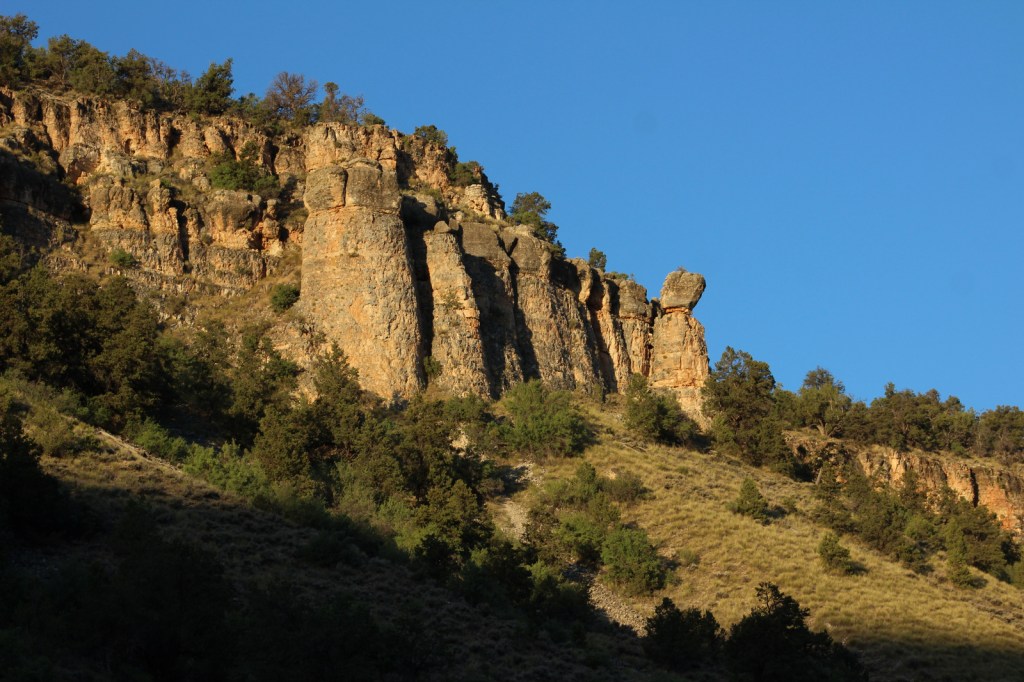
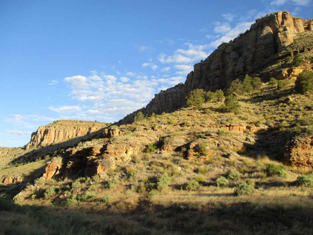
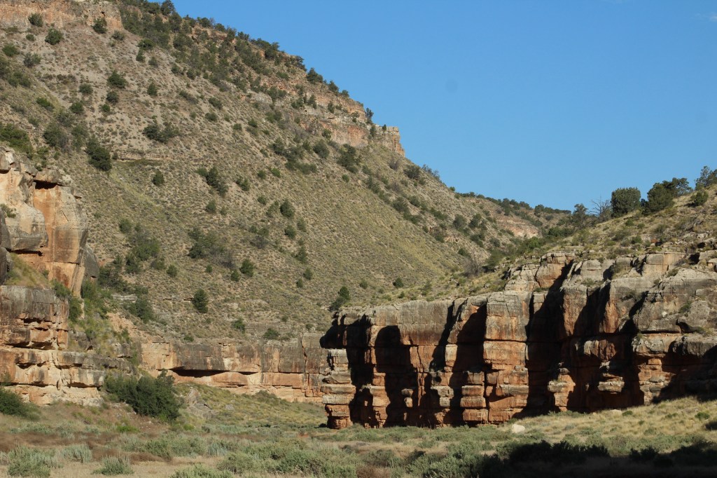
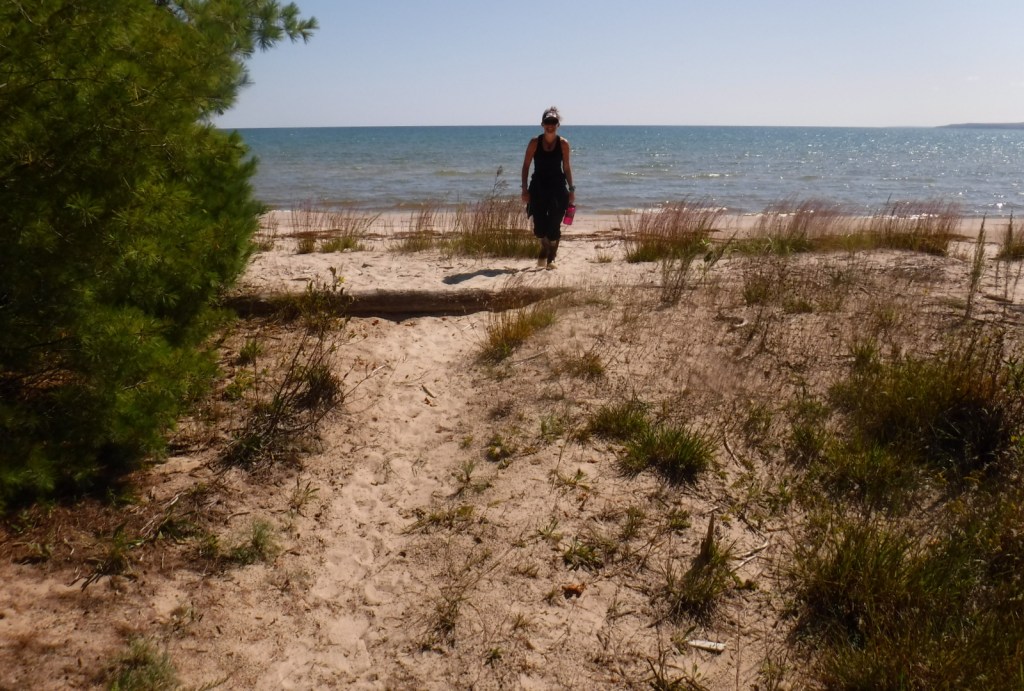
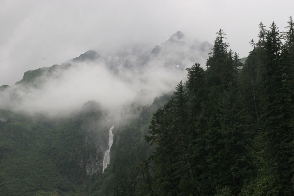
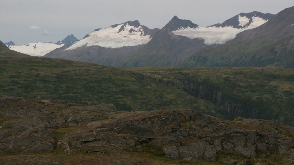
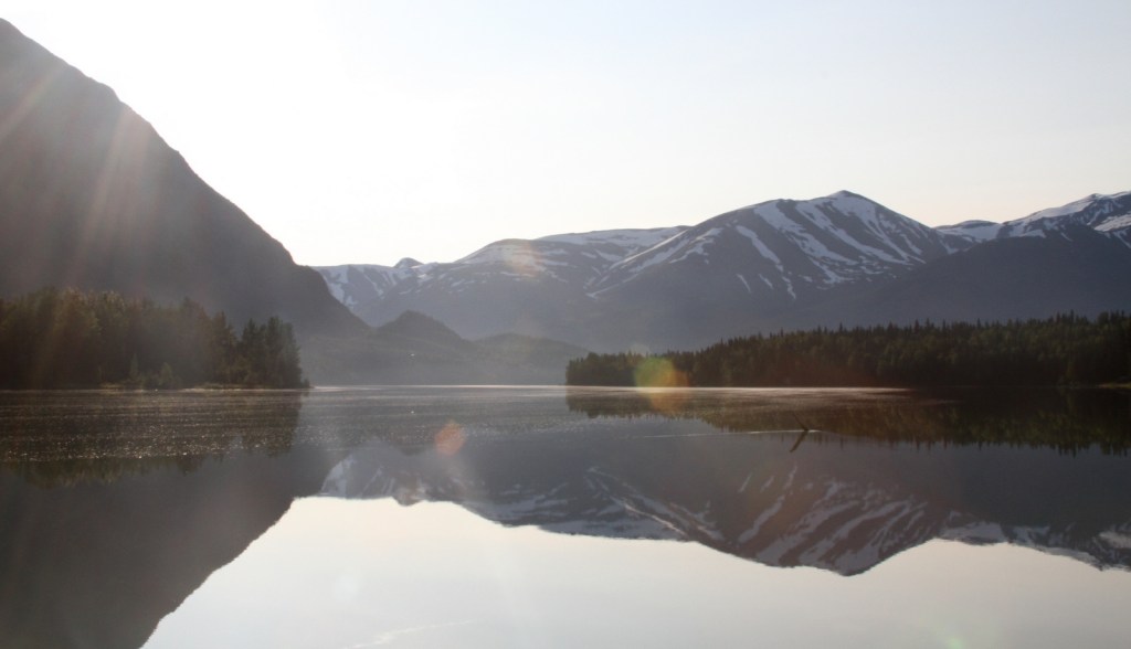
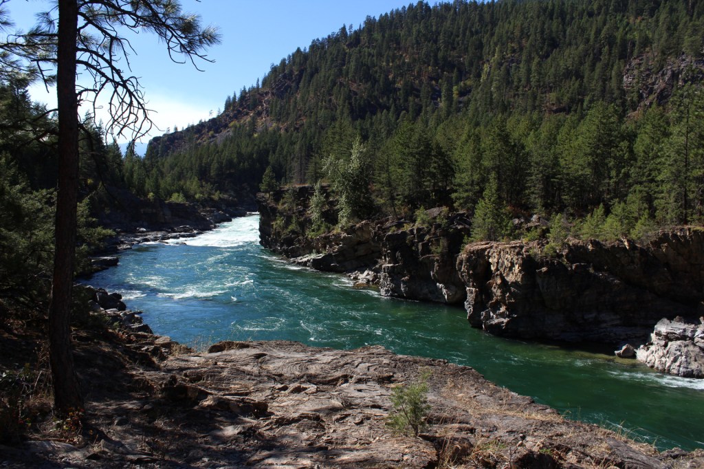
In northwest Montana, Kootenai National Forest includes parts of the Cabinet, Purcell, Salish, Selkirk, and Whitefish Mountains on the border of Canada. In 1975, the 422-foot-tall Libby Dam on the Kootenai River created 90-mile-long international Lake Koocanusa (a contraction of Kootenai-Canada-U.S.A.). Elevations in Kootenai National Forest range from 1,832 feet up to 8,738-foot Snowshoe Peak in the Cabinet Mountains Wilderness, encompassing a variety of habitats from subalpine meadows to arid plains with cacti.

Highlights
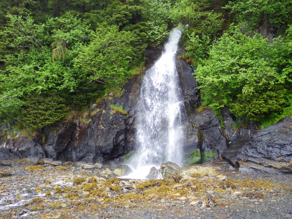
Lake Koocanusa Scenic Byway, Northwest Peak Scenic Area, McGregor Lake, Yaak Falls, Ten Lakes Scenic Area, Ross Creek Cedar Grove Scenic Area, Loon Lake, Tenmile Falls, Bluebird Basin Trail, Vinal McHenry Boulder National Recreation Trail, Pacific Northwest National Scenic Trail
Must-Do Activity
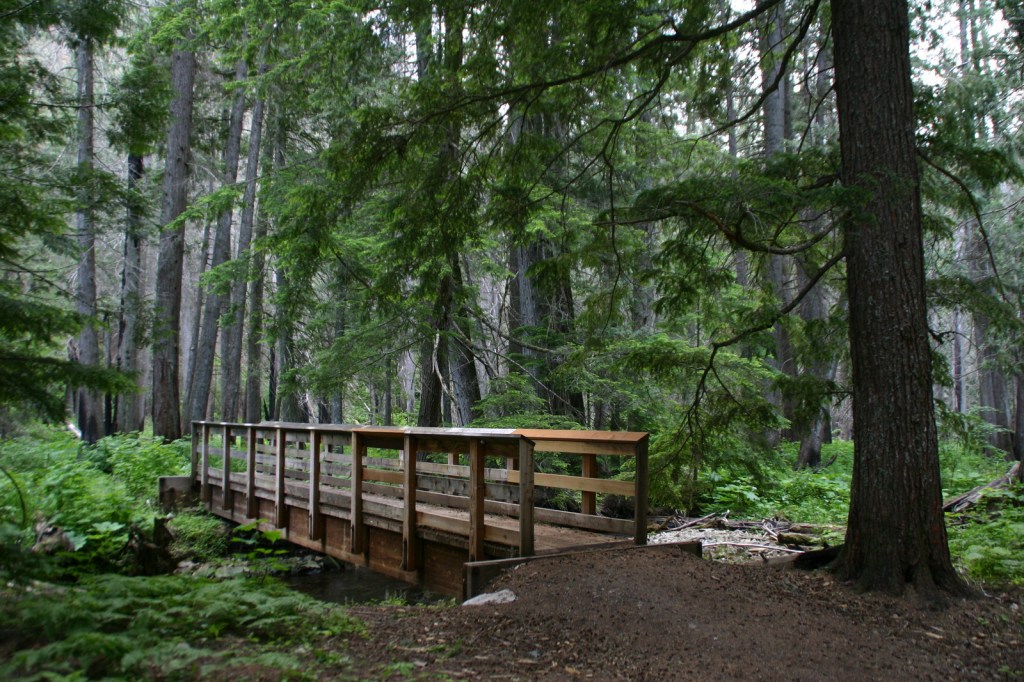
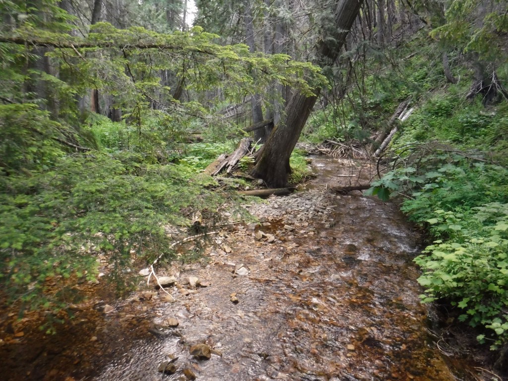
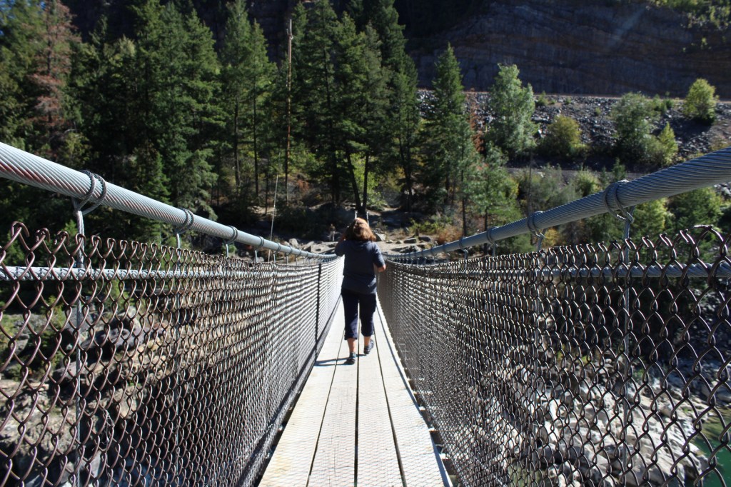
There are more than 1,200 miles of trails in Kootenai National Forest, including 90 miles of the Pacific Northwest National Scenic Trail. Two of the best places to hike are the Northwest Peak and Ten Lakes Scenic Areas, in the remote upper corners of the National Forest. Outside of Libby, Montana, Blue Mountain Trail (1.5 miles one-way), Skyline National Recreation Trail (22 miles), and Scenery Mountain Lookout Trail (2.5 miles) all climb to incredible overlooks. At Kootenai Falls (see Photographic Opportunity), a new suspension bridge crosses the Kootenai River to Forest Service land on the north shore. From there, Koot Creek Canyon Trail travels another three miles to a dirt road in Kootenai National Forest.
Best Trail
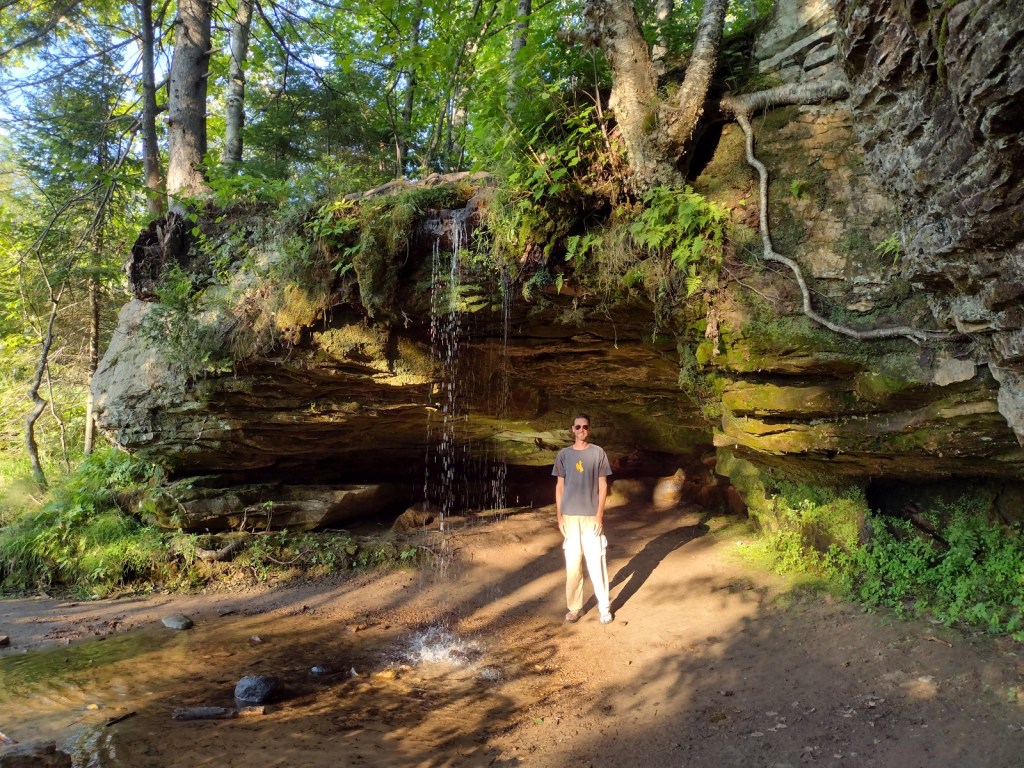
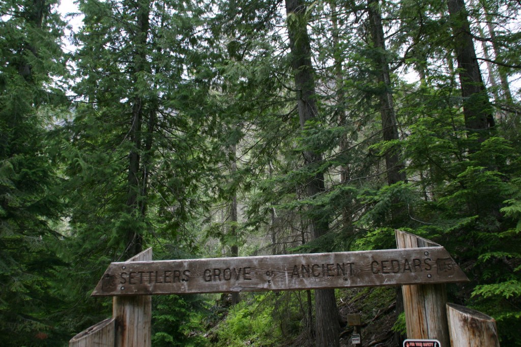
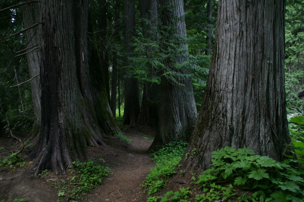
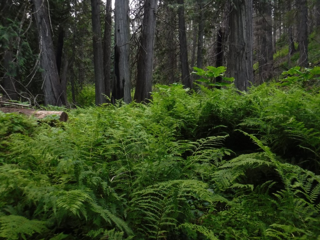
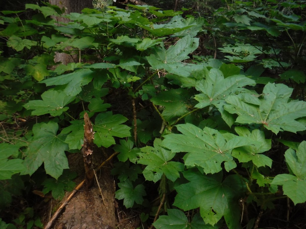
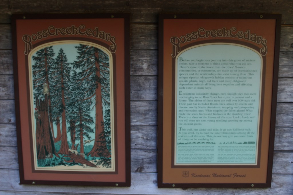
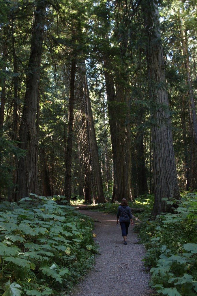
In 1959, Ross Creek Cedar Grove Scenic Area preserved 101 acres of western redcedar trees up to eight feet in diameter. A one-lane paved road with pullouts leads 4.3 miles from Highway 56 to a large parking area with a day-use fee. The main trail is a less than one-mile loop with interpretive signs, but continues five miles to the North Fork of Ross Creek. The old-growth forest is also home to large Douglas-fir, Engelmann spruce, grand fir, and western hemlock trees growing above a lush green understory of ferns and Devil’s-club.
Watchable Wildlife
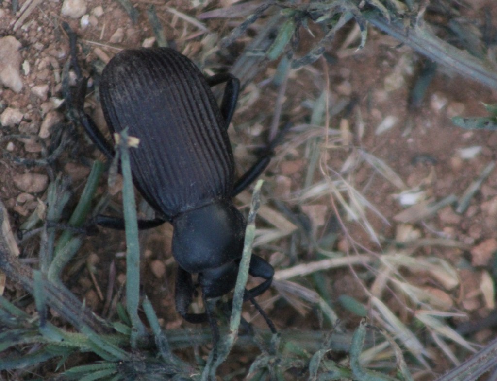
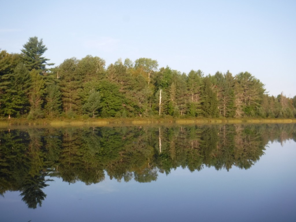
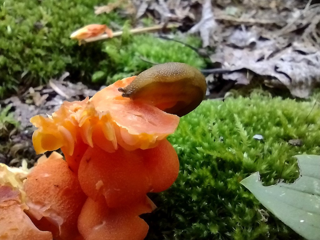
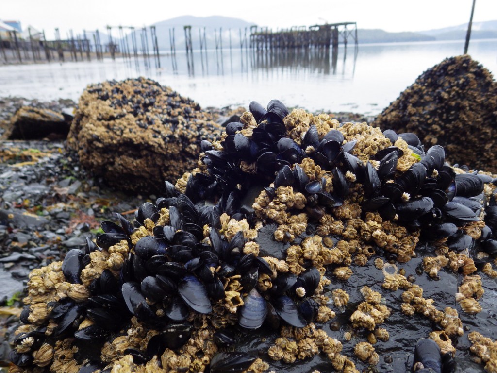
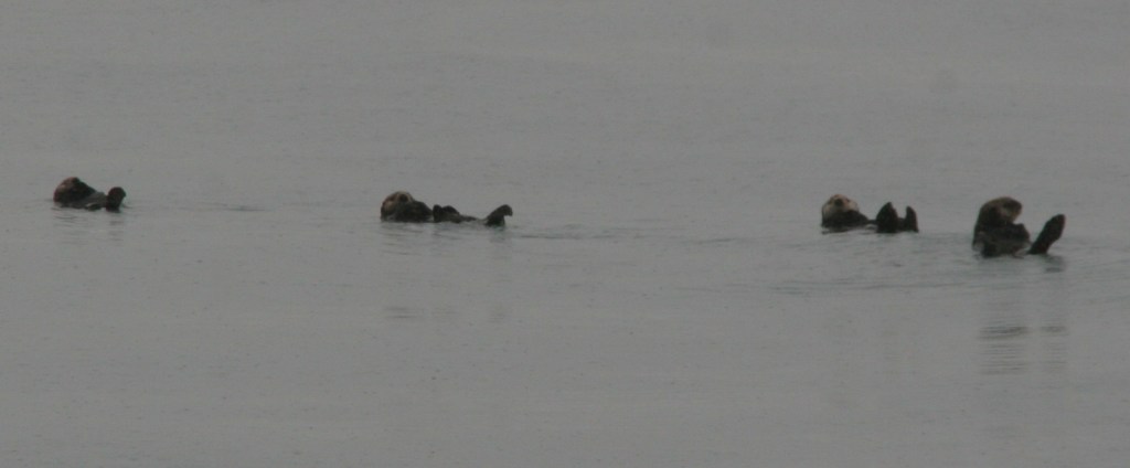
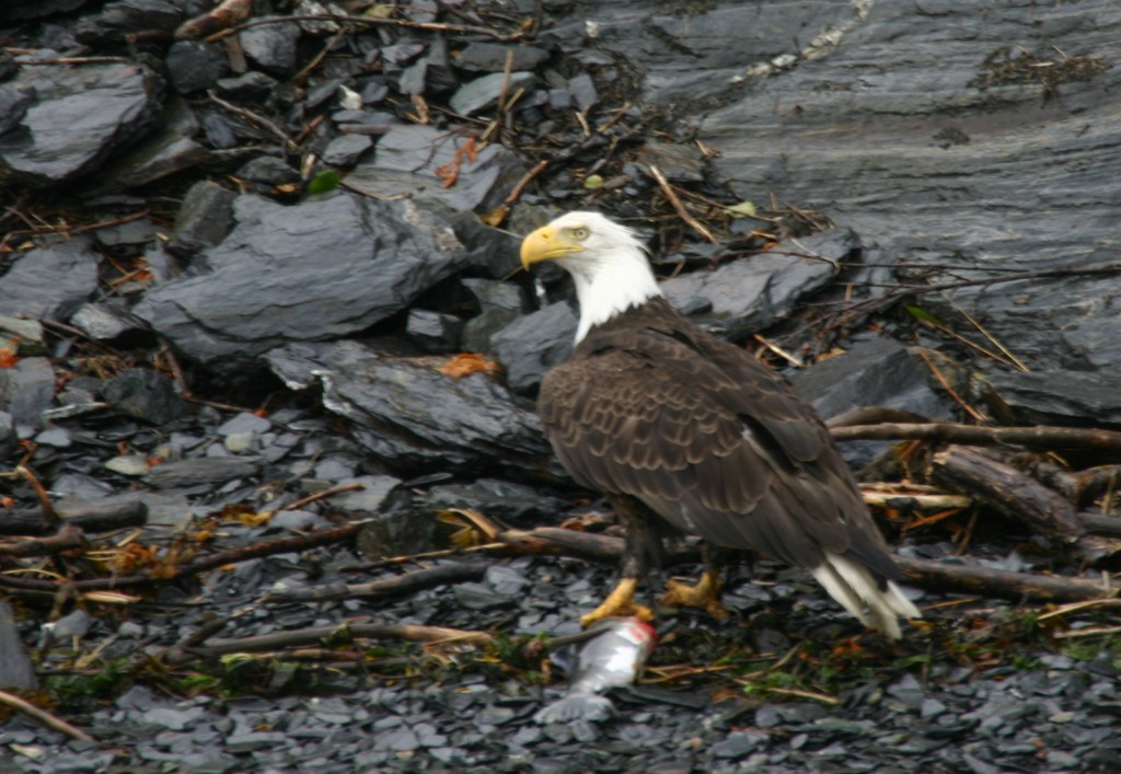
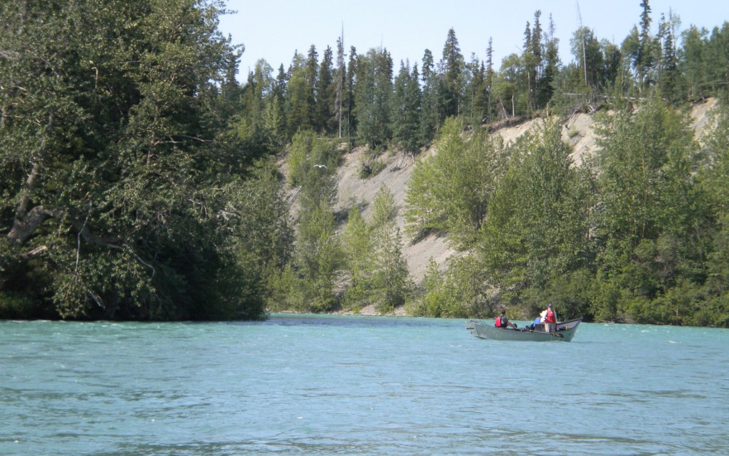
The mountains provide habitat for grizzly bears, black bears, Canada lynxes, bobcats, mountain lions, wolverines, mink, pine martens, long-tailed weasels, porcupines, snowshoe hares, pika, moose, bighorn sheep, and mountain goats. Hoskins Lake is a wintering range for mule deer and white-tailed deer, as well as an osprey nesting area in the summer. The National Forest’s numerous rivers and more than 100 lakes support gamefish like cutthroat, rainbow, brown, and endangered bull trout. The endangered white sturgeon is also found in this area.
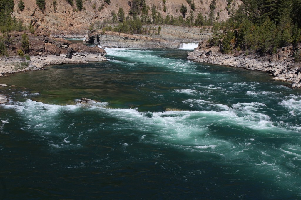
Photographic Opportunity
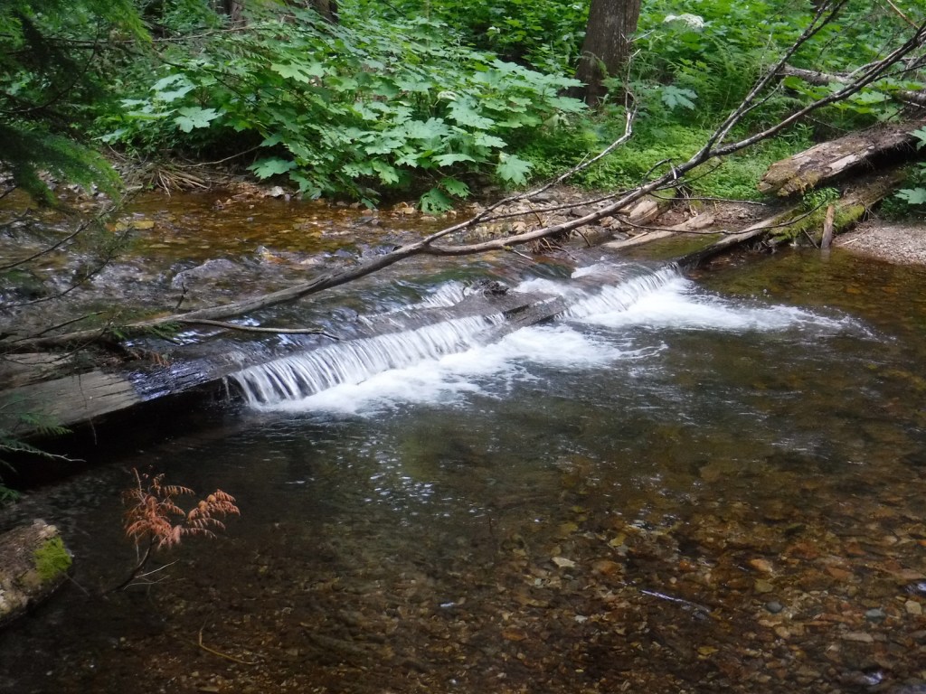
Located in a county park on the side of Highway 2, Kootenai Falls is only about 20 feet tall, but it is impressively wide and beautiful. An overlook is located one-tenth of a mile from the parking lot, but there is also a walking bridge that crosses over the railroad tracks to a viewpoint at the edge of the falls, and a suspension bridge only a quarter-mile further downstream.

Peak Season
Summer
Fees
Ross Creek Cedar Grove Scenic Area has a day-use fee (or the America the Beautiful pass is also accepted).
Road Conditions
Paved roads like the Lake Koocanusa Scenic Byway, U.S. Highway 2, and State Highway 56 make it easy to explore Kootenai National Forest. To access Ross Creek Cedar Grove Scenic Area, a one-lane paved road with pullouts leads 4.3 miles from Highway 56. A nice drive through the Purcell Mountains can be made by looping State Route 508 and Forest Road 68.
Camping
There are Forest Service campgrounds at Kilbrennan Lake, Loon Lake, Rexford Branch, Caribou, Red Top, Whitetail, Pete Creek, Howard Lake, and elsewhere. Big Creek Baldy Mountain lookout cabin can be rented, too.
Wilderness Areas
Cabinet Mountains Wilderness (also in Kaniksu National Forest)
Related Sites
Kaniksu National Forest (Idaho-Montana-Washington)
Bitterroot National Forest (Montana-Idaho)
Coeur d’Alene National Forest (Idaho)
Nearest National Park


lodgepole pine, whitebark pine, ponderosa pine, Douglas-fir, western hemlock, western redcedar, , western larch, alpine larch, Engelmann spruce, subalpine fir, grand fir
Rocky Mountain maple, boxelder, quaking aspen, balsam poplar, dwarf birch, paper birch, Piper’s hawthorn, Bebb willow, western mountain-ash, choke cherry, western serviceberry
Explore More – The Kootenai (or Kootenay in Canada) River is named after the local Ktunaxa Indians, which translates as what in the Algonquian language?

Learn more about this and the 154 other National Forests in our new guidebook Out in the Woods
We are a participant in the Amazon Services LLC Associates Program, an affiliate advertising program designed to provide a means for us to earn fees by linking to Amazon.com and affiliated sites.