Overview
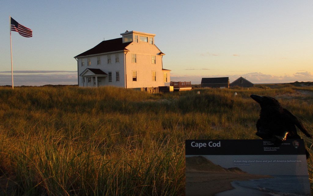
Northernmost of the ten National Seashores in the National Park Service (NPS) system, Cape Cod National Seashore includes 40 miles of shoreline on the narrow glacial deposit that sticks out of Massachusetts like a fishhook. Its 44,000 acres are interspersed with towns that manage (and charge for) many of the beaches along the coastline. Watch for gray seals playing in the surf, which attract predators like great white sharks to the shallows. Even if you want to swim in the chilly ocean water, if you see gray seals it is best to go somewhere else so you are not confused with food.
Highlights
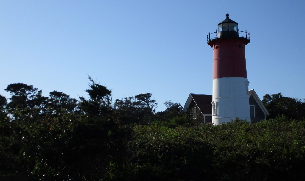
Nauset Light, Three Sisters Lighthouses, Old Harbor Life-Saving Station Museum
Must-Do Activity
The best place to start your visit is Salt Pond Visitor Center, which has a museum run by the NPS. Located right off Highway 6, it is also a great place to stretch your legs on the Buttonbush or Nauset Marsh Trails. From there, it is a short drive to Coast Guard or Nauset Light Beaches that offer tram service when parking lots are full. Lifeguards are on duty at specific beaches from late June through Labor Day, which should give an indication of the short season when it is actually warm enough to enjoy the water.
Best Trail
There are 12 self-guided trails within Cape Cod National Seashore, plus three bicycle trails up to 7.3 miles long. Our favorite was the one-mile Beech Forest Trail near Race Point Beach at the tip of Cape Cod.
Instagram-worthy Photo
If the red-striped Nauset Light looks familiar that is because you might have seen it on a bag of potato chips at the grocery store. While there, take a walk over to the Three Sisters Lighthouses that have also been moved inland from their original eroding clifftop locations.
Peak Season
Summer
Hours
https://www.nps.gov/caco/planyourvisit/hours.htm
Fees
$25 per vehicle or America the Beautiful pass
Road Conditions
All roads are paved and a permit from the Oversand Station at Race Point is required for those wishing to drive on designated sand routes.
Camping
No camping is offered through the NPS, but there are several private and state-run campgrounds, plus countless motels and vacation rentals.
Related Sites
Salem Maritime National Historic Site (Massachusetts)
Boston Harbor Islands National Recreation Area (Massachusetts)
Fire Island National Seashore (New York)

Tiff on Nauset Light Beach 
Tiff thought the water was pretty cold for September 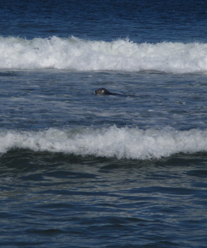
Gray seal in the surf 
Scott at Nauset Light 

Two of the Three Sisters Lighthouses 
Beech Forest Trail 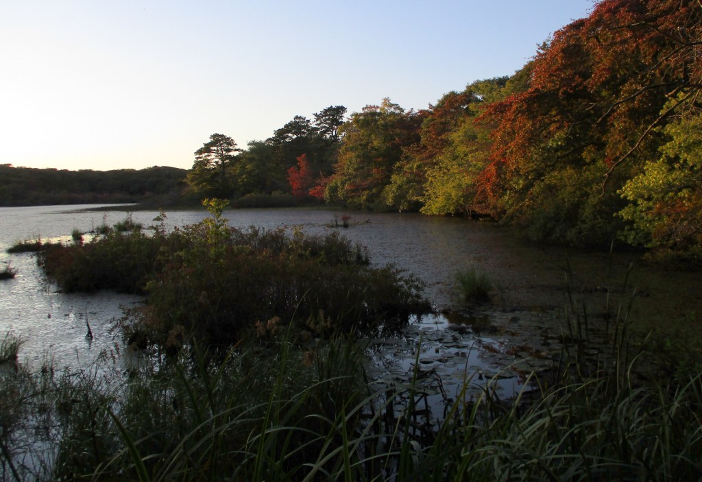
Beech Forest Trail 
Sunset at Race Point Beach 


Pilgrim Monument in Provincetown, Massachusetts
Explore More –Who was the famous Italian inventor that transmitted transatlantic radio signals from massive antennas on Cape Cod in the early 1900s?