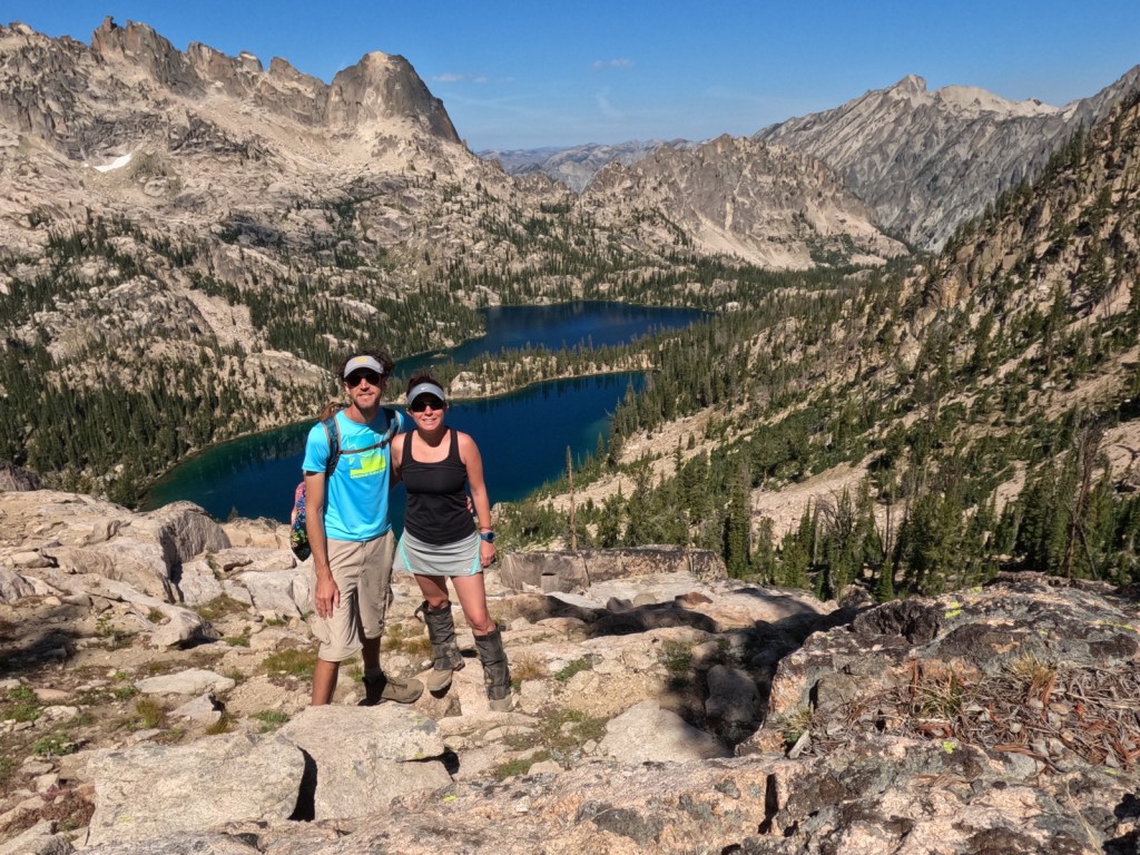
We recently returned from a trip to five National Forests in Idaho, as well as Yellowstone National Park (which is celebrating its 150th anniversary). You might think after visiting all 155 National Forests and publishing a book about them that we would take a break from National Forests, but we love hiking too much to stay away. Today we updated our posts on Boise and Caribou National Forests with new photos. Also, we will repost on Sawtooth National Recreation Area after our three-night backpacking trip west of Redfish Lake. After going in alphabetical order for every National Forest so far, we waited to do Challis National Forest until after summiting Borah Peak last week, so expect that one soon.
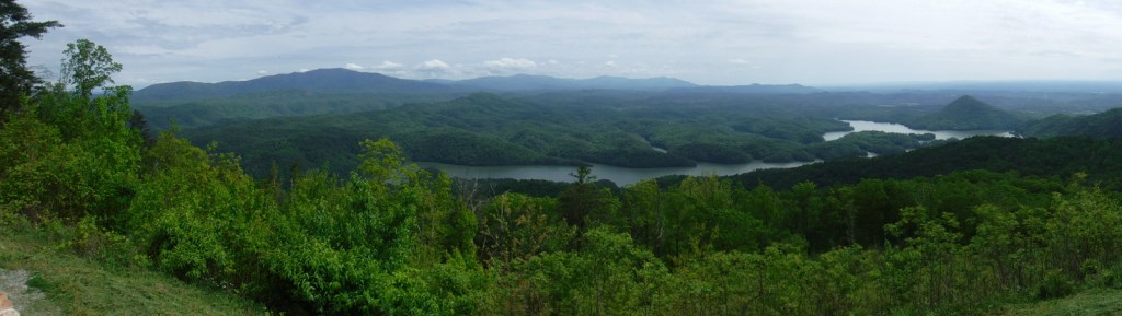
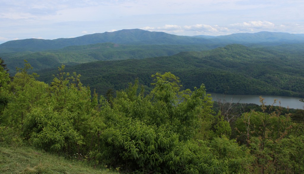
The southern Appalachian Mountains have some of the highest biodiversity in the United States, with more than 20,000 species of plants and animals. In the heart of this region, Cherokee National Forest is located north and south of Great Smoky Mountains National Park in eastern Tennessee. Abundant rainfall and steep terrain make whitewater rafting a popular activity, especially on the Ocoee National Wild and Scenic River.
Highlights
Cherohala Skyway, Hiwassee River, Bald River Falls, Ocoee Scenic Byway, Boyd Gap Observation Site, Turtletown Creek Falls Scenic Area, Ocoee Whitewater Center, Coker Creek Scenic Area, Dudley Falls Picnic Area, Watauga Lake, Rock Creek Gorge Scenic Area, Laurel Fork Falls, Bald Mountain Ridge Scenic Area, Unaka Mountains Scenic Area, Doe River Gorge Scenic Area, Backbone Rock, Rogers Ridge Scenic Area, Conasauga River Blue Hole, Gee Creek Falls, Roan High Knob, Falls Branch Falls, Tanasi Trail System, John Muir National Recreation Trail, Margarette Falls Trail, Warrior’s Passage National Recreation Trail, Appalachian National Scenic Trail
Must-Do Activity
Cherokee National Forest is celebrated for its numerous waterfalls, two highlights being 60-foot-tall Margarette Falls and 65-foot Benton Falls, both accessible by short hikes. If you visit during the fall foliage season, popular driving routes include the 26-mile Ocoee Scenic Byway and 43-mile Cherohala Skyway that climbs over 4,500 feet in elevation into North Carolina’s Nantahala National Forest. We were intrigued by reading about the Conasauga River Blue Hole, where visitors can snorkel with fish and turtles in the shallows and deep pools.
Best Trail
On the north side of Ocoee Lake, the Clemmer Trailhead is located right along Highway 30, a quarter mile off Highway 64. From here one trail follows picturesque Rock Creek Gorge, which is known for its waterfalls. Mountain bikers can follow several other trails and connect into the trail system around Benton Falls and McCamy Lake in the Chilhowee Recreation Area. Altogether, the National Forest boasts 700 miles of trail, including a famous stretch of the Appalachian National Scenic Trail through the Roan Highlands.
Watchable Wildlife
Large mammals found in Cherokee National Forest include white-tailed deer, raccoons, skunks, opossums, river otters, beavers, squirrels, bobcats, red foxes, gray foxes, coyotes, and black bears. In addition to songbirds common to eastern forests, watch the skies for turkey vultures, peregrine falcons, bald eagles, and a variety of hawks. This area is known for its high diversity of salamanders, including hellbenders and Jordan’s salamanders. This region also has many reptiles, like eastern box turtles, common snapping turtles, southeastern five-lined skinks, timber rattlesnakes, northern copperheads, and rat snakes (like the one we saw on the Benton Falls Trail). The many streams and rivers support rainbow, brook, and brown trout, while lakes have largemouth bass, bluegills, and crappies.
Instagram-worthy Photo
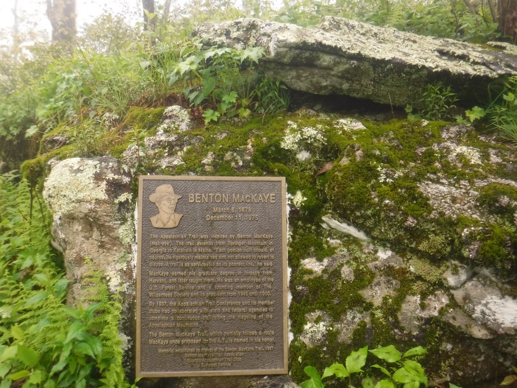
The whitewater rapids are less intense on the Hiwassee River, which is also followed by Highway 30, the 21-mile long John Muir National Recreation Trail, and a portion of the 300-mile Benton MacKaye Trail.
Peak Season
Summer and fall
Fees
There is a $3 day-use fee at the Chilhowee Recreation Area and there are likely fees to park elsewhere in this massive National Forest.
Road Conditions
The scenic byways we drove were all paved, but we found the gravel road up to Chilhowee Recreation Area to be rough and steep, though still easy enough for any passenger car.
Camping
There are countless campgrounds in Cherokee National Forest, but Chilhowee Campground near McKamy Lake seemed nice and provided access to an extensive trail system.
Learn more about Cherokee and the 154 other National Forests in our new guidebook Out in the Woods
We are a participant in the Amazon Services LLC Associates Program, an affiliate advertising program designed to provide a means for us to earn fees by linking to Amazon.com and affiliated sites.
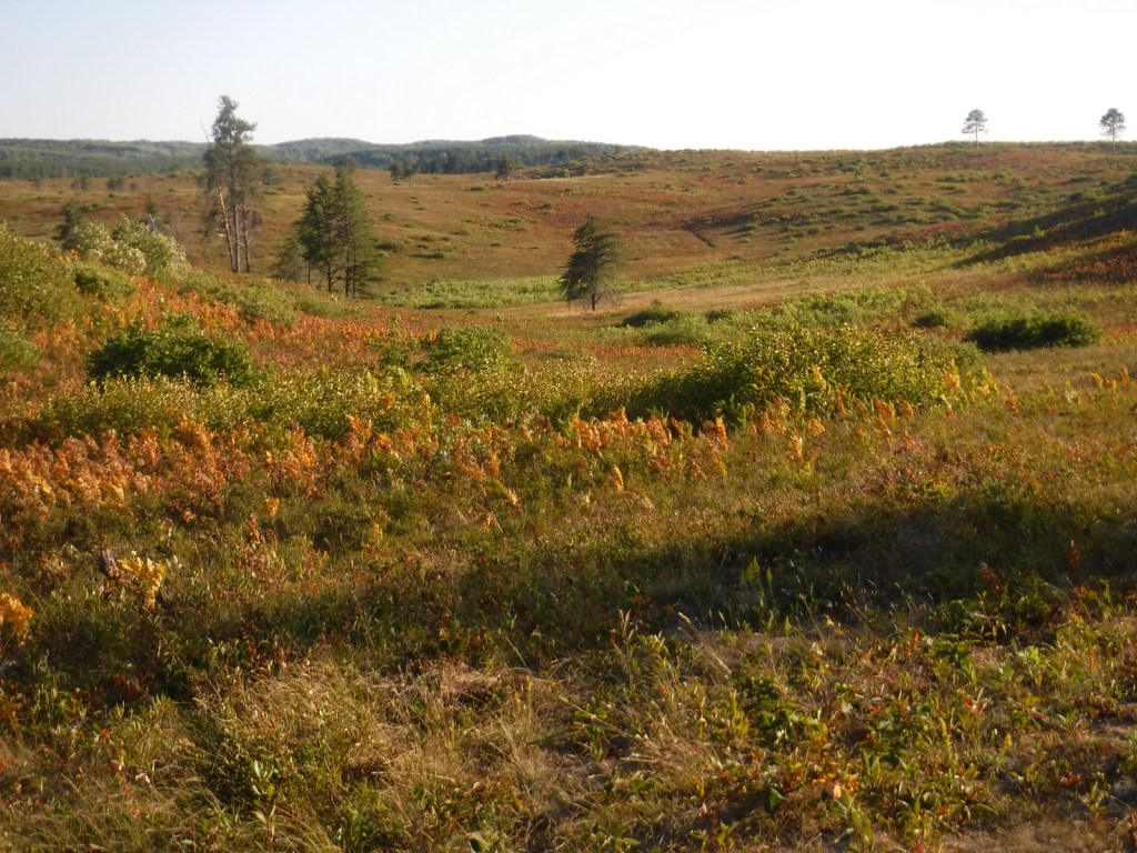
Chequamegon National Forest gets its name from Lake Superior’s Chequamegon Bay, which is derived from the Ojibwe word for the bay’s prominent sand bar on the east side of Wisconsin’s Bayfield Peninsula. Managed as Chequamegon-Nicolet National Forest since 1998, the more western Chequamegon National Forest contains a 61-mile stretch of the North Country National Scenic Trail and 49 miles of the Ice Age National Scenic Trail that winds through Wisconsin. On the Bayfield Peninsula is Moquah Pine Barrens National Natural Landmark, first set aside by the Forest Service in 1935 to study its red pine savannah and upland jack pine barrens. The Moquah Pine Barrens is notable for its summer wildflower bloom and fall berry picking.
Highlights
Great Divide Scenic Byway, Drummond Woods, Valhalla Recreation Area, South Fork of Flambeau River, Mondeaux Dam Recreation Area, Moquah Barrens National Natural Landmark, Clam Lake, Schumland Wetland Area, Chequamegon Water Flowage, Tucker Lake Hemlocks Natural Area, Morgan Falls, St. Peter’s Dome, West Torch Ski Trail, Mukwonago Ski Trail, Camba Mountain Bike Trail, Mt. Valhalla, Caro Forest Trail, West Twin Lake Trail, Aldo Leopold Commemorative Trail, North Country National Scenic Trail, Ice Age National Scenic Trail
Must-Do Activity
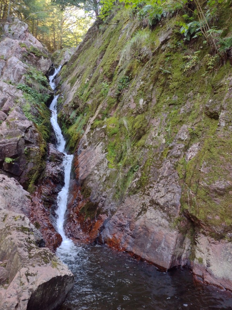
St. Peter’s Dome and Morgan Falls Recreation Area (fee) is the most developed site in Chequamegon National Forest. A wide, level trail with new bridges leads 0.75 miles one-way to Morgan Falls, which tumbles 70 feet down a narrow rock crevice. The trail splits and becomes steeper as it ascends to St. Peter’s Dome, a rock outcropping that offers views north to Chequamegon Bay and the Apostle Islands. To visit both spots is a 3.8-mile roundtrip hike with an elevation gain of 500 feet. Make sure you have good directions before you go because the drive to the trailhead has unsigned turns on unpaved back roads.
Best Trail
In the southern portion of the National Forest, the Aldo Leopold Commemorative Trail is a 1.2-mile out-and-back hike that follows a glacial esker above a wetland near the Mondeaux Flowage. The path is lined with wooden boards with quotes from the famous ecologist who wrote his seminal book A Sand County Almanac (see our Top 10 Books about Trees and Forests) at his Wisconsin farm.
Watchable Wildlife
Gray wolves and elk have been reintroduced to Chequamegon National Forest, in addition to native moose, black bears, red foxes, raccoons, rabbits, beavers, river otters, and (of course in Wisconsin) badgers. Common loons with their distinctive calls are the most iconic bird of the North Woods, with other notable species being barred owls, bald eagles, common ravens, turkeys, ruffed grouse, and boreal chickadees. Fishing is a big deal in this part of the world and Hayward, Wisconsin is home to the Freshwater Fishing Hall of Fame (where you can stand in the mouth of a giant muskie sculpture). Major gamefish include lake trout, rainbow trout, small and largemouth bass, crappie, walleye, northern pike, and muskellunge (muskie).
Instagram-worthy Photo
It might require a bit of creative climbing to get a good photo of Morgan Falls, located only 1.5 miles roundtrip from the trailhead (fee).
Peak Season
Summer and fall
Fees
There is a $5 day-use fee to park at the trailhead for St. Peter’s Dome and Morgan Falls Recreation Area.
Road Conditions
The road through the Moquah Barrens is paved, and even the sand-surfaced roads were all in good shape during our visits.
Camping
There are developed campgrounds throughout the National Forest and nearby Apostle Islands National Lakeshore, but we have always dispersed camped off the back roads on the Bayfield Peninsula, including a pleasant night spent on the Moquah Barrens.
Morgan FallsView from St. Peter’s Dome Turkeys crossing the roadMoquah BarrensMoquah BarrensSunset over the Moquah BarrensScott on the Aldo Leopold Commemorative TrailAldo Leopold Commemorative TrailRuffed grousePaper birchIce Age National Scenic Trail
Conifer Tree Species
jack pine, red pine, eastern white pine, balsam fir, black spruce, white spruce, northern white-cedar, tamarack, balsam fir, eastern hemlock
Flowering Tree Species
sugar maple, red maple, mountain maple, black ash, white ash, basswood, yellow birch, paper birch, river birch, northern red oak, white oak, black oak, American beech, quaking aspen, bigtooth aspen, balsam poplar, white ash, beaked hazelnut, tag alder
Explore More – The 636-acre Moquah Barrens Research Natural Area was established in 1935 and named a Wisconsin State Natural Area in 1970, but when was it designated a National Natural Landmark?
Learn more about Chequamegon and the 154 other National Forests in our new guidebook Out in the Woods
We are a participant in the Amazon Services LLC Associates Program, an affiliate advertising program designed to provide a means for us to earn fees by linking to Amazon.com and affiliated sites.
When we compiled our last Top 10 list on National Forest non-fiction books in honor of our new publication, we realized there were many great books on forests that did not fit that category. So we created this list of the best books we have read about specific tree species and forests. Some of the selections are history, some biology, some biography, and some ecology (or a mix of all four). Click here to see all of our Top 10 lists, including quite a few other book lists.
Unable to move, trees use pheromones and other means for intraspecific and interspecific communication; the author also published Forest Walking in 2022
The greatest ecologist of the twentieth century, Aldo Leopold worked in New Mexico’s Gila National Forest as a young man where the events of the seminal essay “Thinking Like a Mountain” took place
A detailed look at the activity in a small patch of old-growth forest in Tennessee
Know someone who loves the National Forests? Gift them our travel guidebook Out in the Woods so they can learn more about all 155 National Forests and 155 different species of native trees.
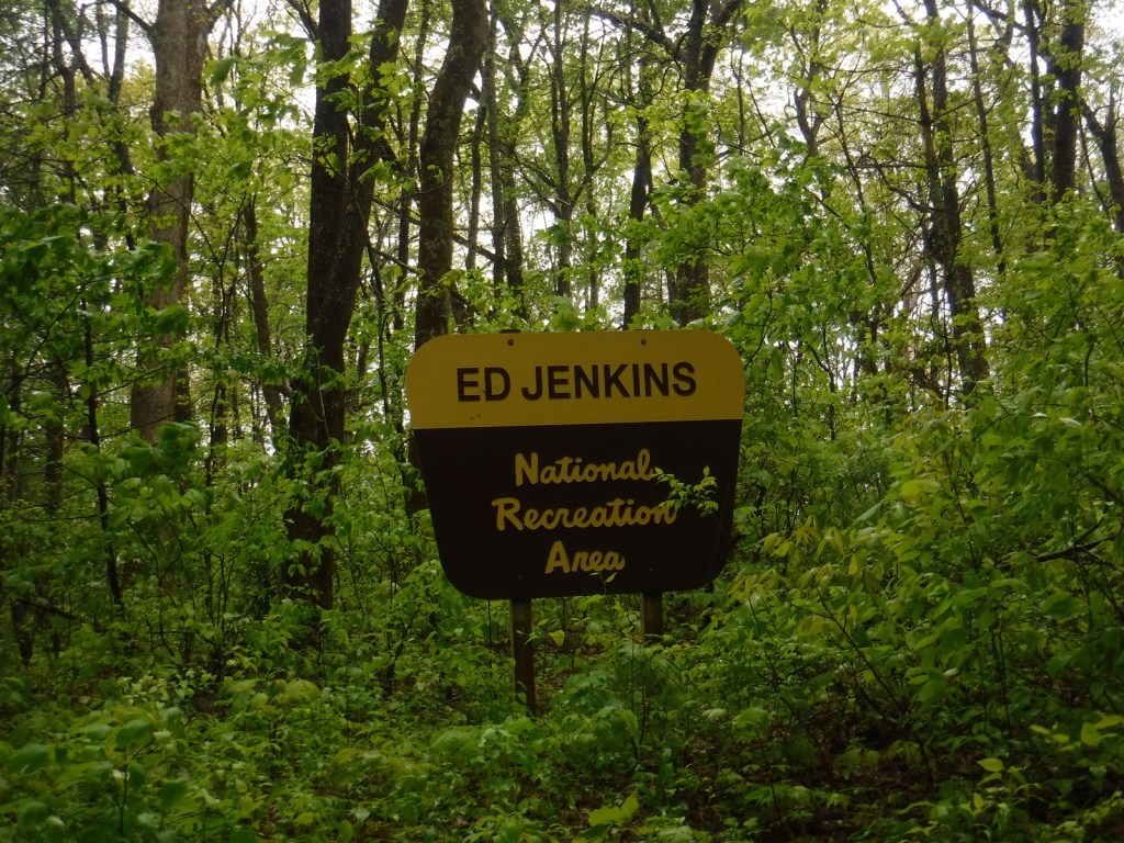
Your first question is probably, “Who is Ed Jenkins?” Edgar Lanier Jenkins (1933-2012) was a politician who served as one of Georgia’s U.S. Congressional representatives from 1977 to 1993. This spot was initially proposed as Springer Mountain National Recreation Area, but was renamed when established in 1991. If Springer Mountain sounds familiar, that is because it is the southern terminus of the Appalachian National Scenic Trail that runs 2,185 miles to Katahdin in Maine through numerous National Forests (as well as Great Smoky Mountains and Shenandoah National Parks). A memorable part of Bill Bryson’s book A Walk in the Woods takes place in Ed Jenkins National Recreation Area.
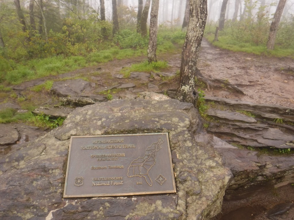
The southern terminus of the Appalachian National Scenic Trail was at Mt. Oglethorpe until 1958, when it was moved 14 miles northeast due to increased development. Thru-hikers can access the bronze plaque and trail register at the top of Springer Mountain by hiking 8.5 miles from Amicolola Falls State Park. An easier option is to start from potholed Forest Service Road 42 and ascend 0.9 miles south to the summit. Some thru-hikers choose to spend the night in the open-front trail shelter near the top, but many simply turn around to head back north.
Best Trail
Similar to summiting Katahdin at the northern terminus of the Appalachian National Scenic Trail, thru-hikers have to hike to the end of the trail, and then turn around. For day hikers, a nice option is to add the eastern part of the Benton MacKaye Trail to make a 4.7-mile loop that passes Owen Vista.
Instagram-worthy Photo
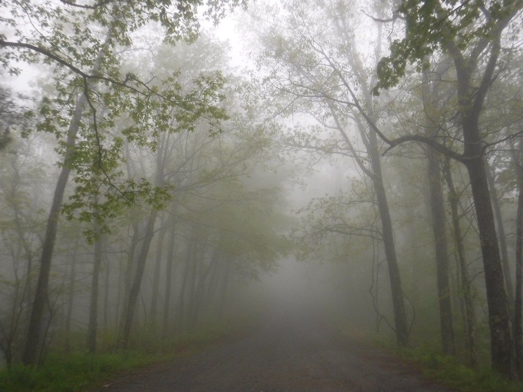
It was quite foggy when we visited, so we did not get any great vistas, but you have to photograph the bronze plaque marking the southern terminus of the famed Appalachian National Scenic Trail.
Peak Season
Spring
Fees
None
Road Conditions
Forest Service Road 42 that accesses the trailhead is dirt and full of potholes, but it is doable in a passenger vehicle.
Camping
Some thru-hikers choose to spend the night in the open-front trail shelter near the summit of Springer Mountain. If you have a car, we recommend you drive west in Chattahoochee National Forest to the free Hickey Gap Campground (which made our Top 10 Campgrounds in National Forests list).
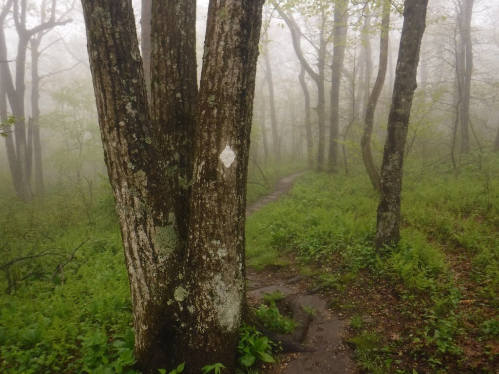
The road to Springer Mountain TrailheadFollow the white blazes to stay on the Appalachian Trail to MaineTrail register at the southern terminusWondon at the summit in a gnarled maple treePlaque on the Benton MacKaye TrailPink lady’s slipper