Ashley National Forest
Utah, Wyoming
Managed by U.S. Forest Service, Intermountain Region
1,402,656 acres (1,382,346 federal/ 20,310 other)
Website: https://www.fs.usda.gov/ashley
Overview
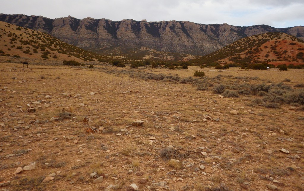
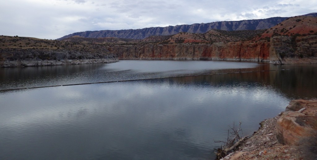
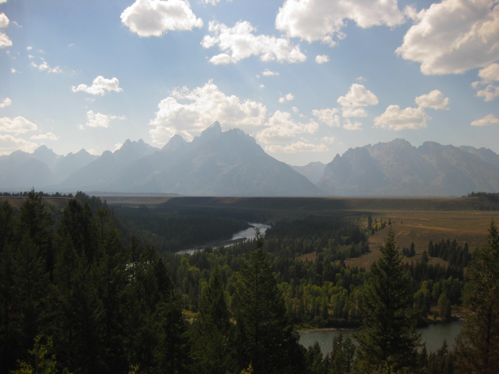
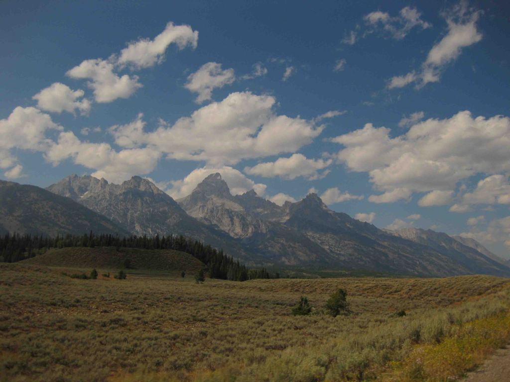
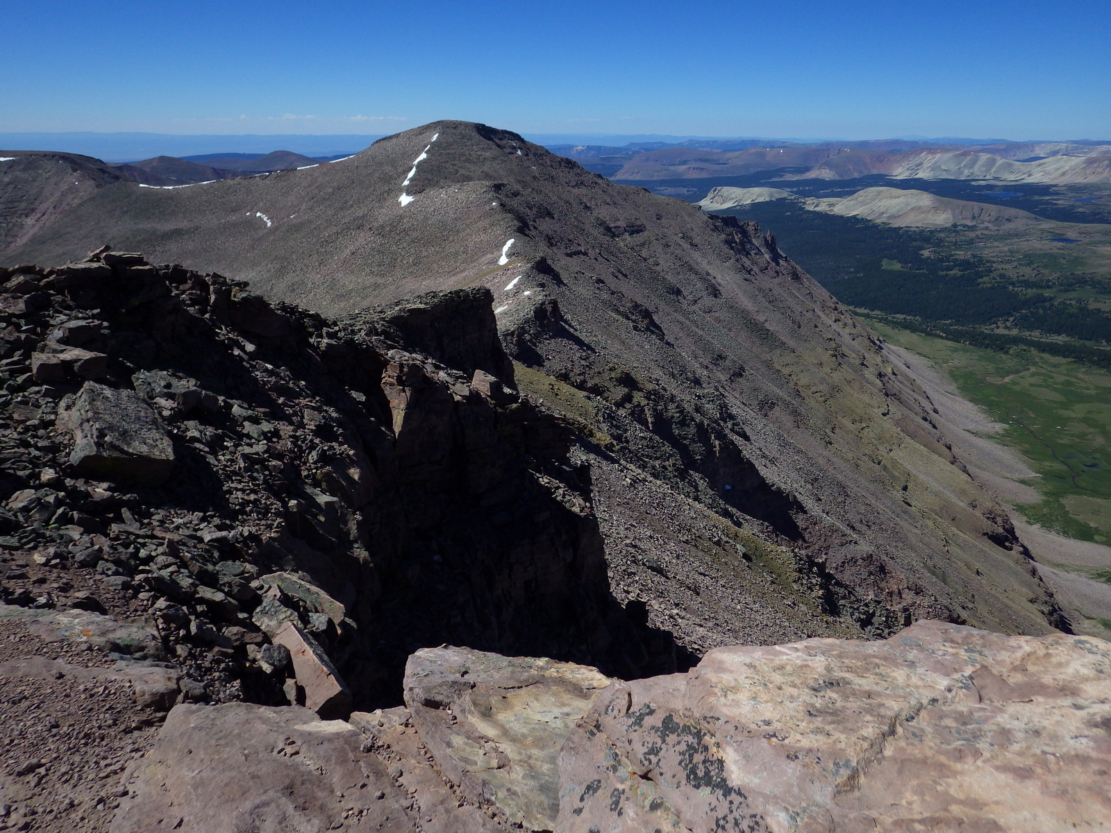
Ashley National Forest is located on the Utah-Wyoming border and includes the High Uintas Wilderness and Flaming Gorge National Recreation Area (which we will discuss in our next blog post). The Uinta Mountains are a popular destination for campers, hikers, mountain bikers, horseback riders, and anybody who is into magnificent mountain peaks and picturesque lakes. It is one of the few east-west running ranges in North America and includes the highest point in Utah: 13,528-foot tall Kings Peak. In 2019, Congress set aside 173,475 acres of the National Forest as the Ashley Karst National Recreation and Geologic Area, the first such designation in the U.S.

Highlights
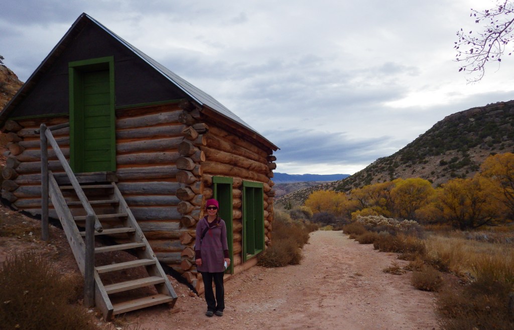
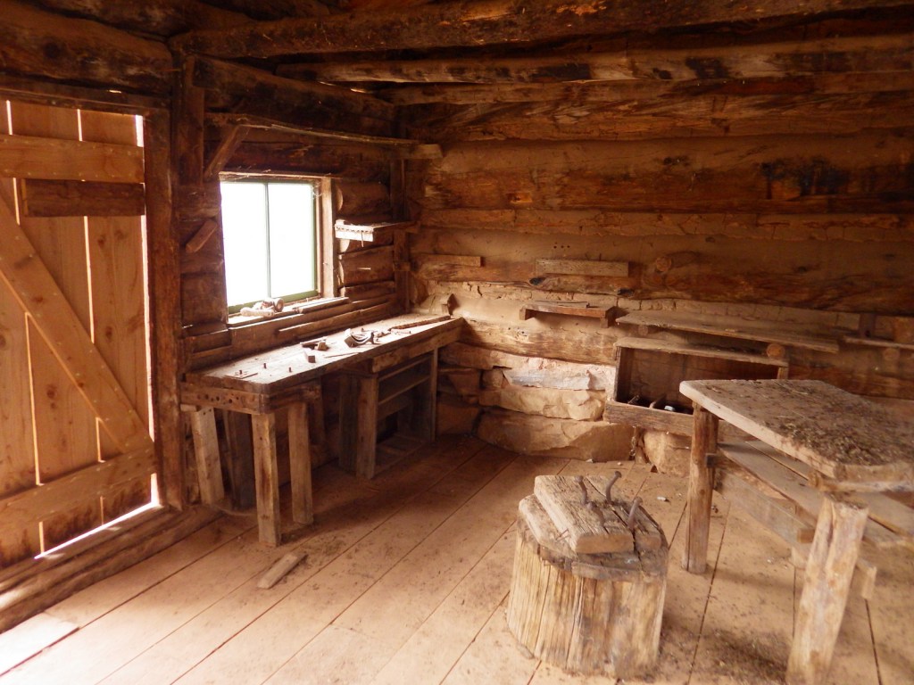
Flaming Gorge National Recreation Area, Red Cloud Loop Scenic Backway, Flaming Gorge-Uinta Scenic Byway, Indian Canyon Scenic Byway, Outlaw ATV Trail, Moon Lake, Strawberry Peak, Swett Ranch, Kings Peak, Highline Trail
Must-Do Activity
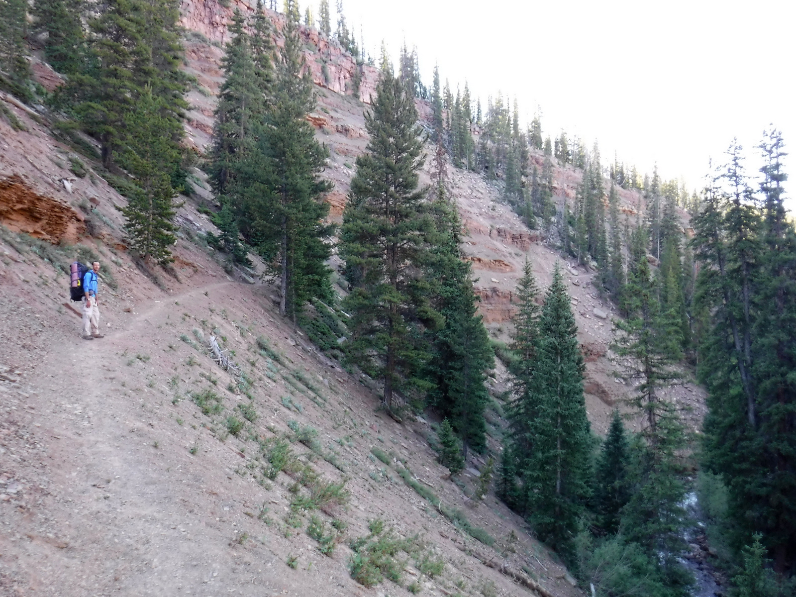
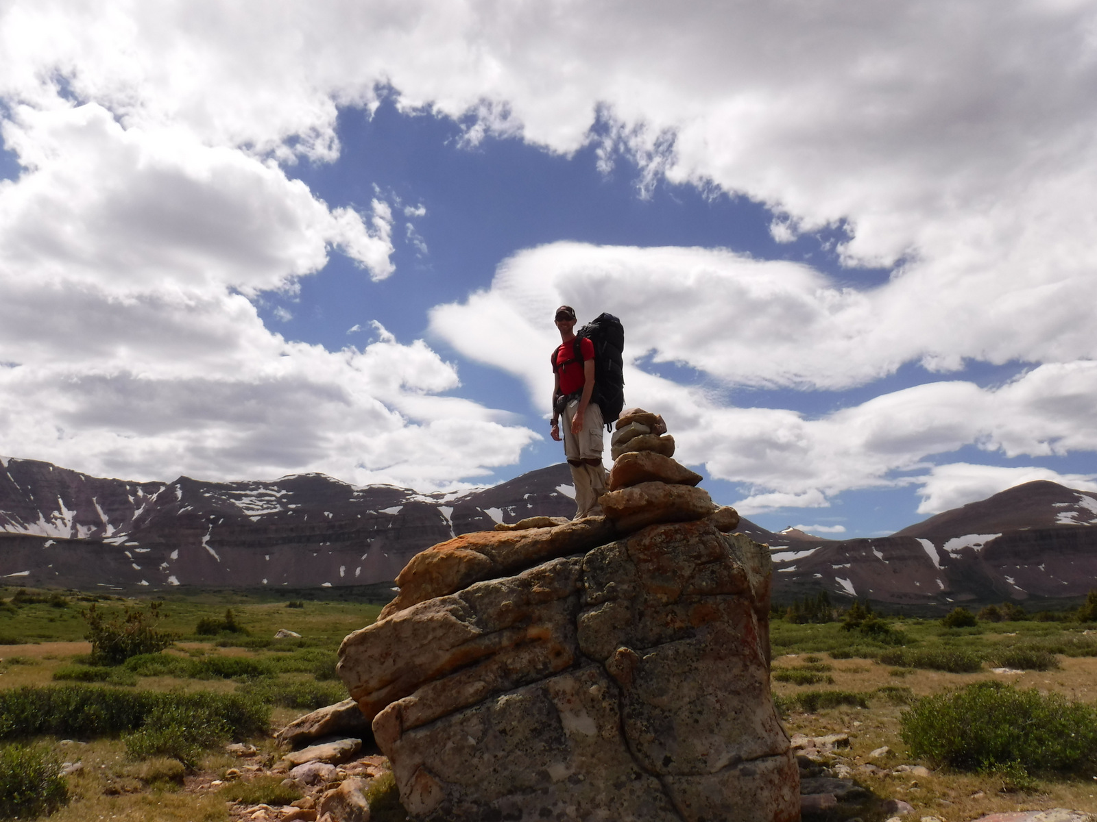
The High Uintas Wilderness is a premier backpacking destination with numerous lakes and 545 miles of trails. The Wilderness is actually found in both the Wasatch and Ashley National Forests, but not Uinta National Forest. Even if that makes sense to you, you will probably still need a good map to navigate your way to the highest point in Utah. Summiting Kings Peak is a minimum 30 miles roundtrip from the Henrys Fork Trailhead in Wasatch National Forest to the north, and even further from the southern trailheads.
Best Trail
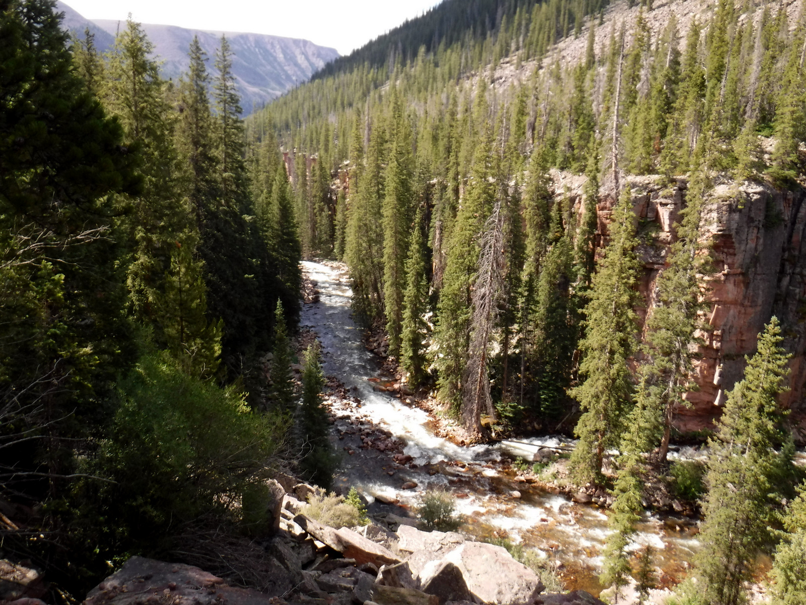
We backpacked into the High Uintas Wilderness on a 41-mile lollipop loop leaving from the Uinta Canyon Trailhead. The first portion along the Uinta River Trail was flat, then started climbing when we split off on the Chain Lakes-Atwood Trail to cross Roberts Pass and Trail Rider Pass into Painter Basin, a beautiful area that sits below Kings Peak. At more than 90 miles in length, the Highline Trail runs east-west through the area and is accessible from many side-trails, including the ones we were on.
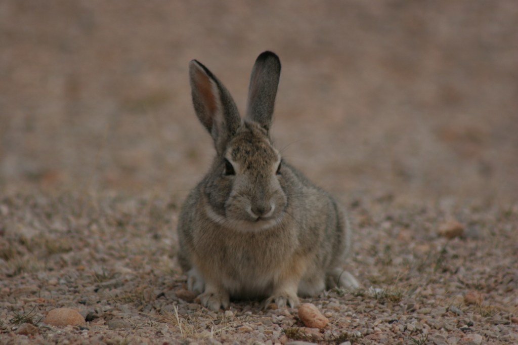
Watchable Wildlife
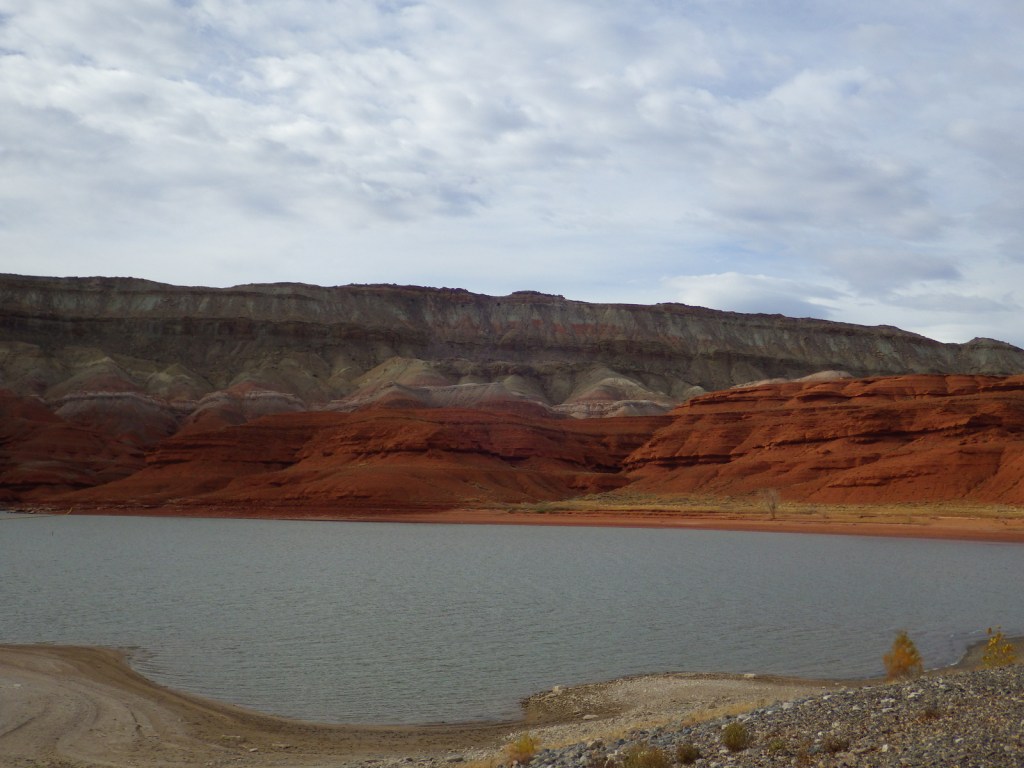
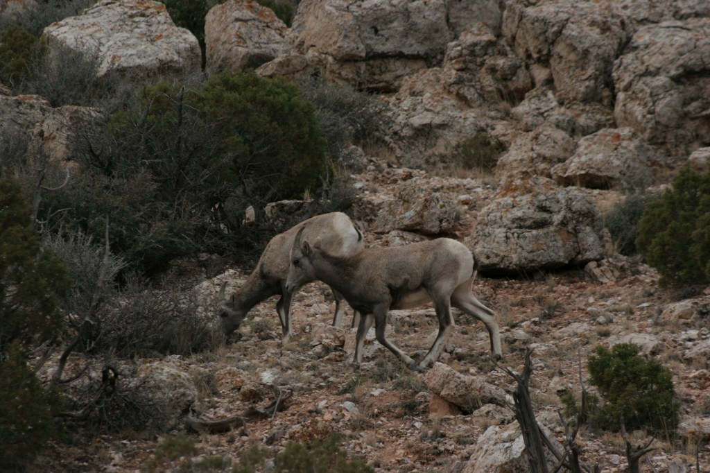
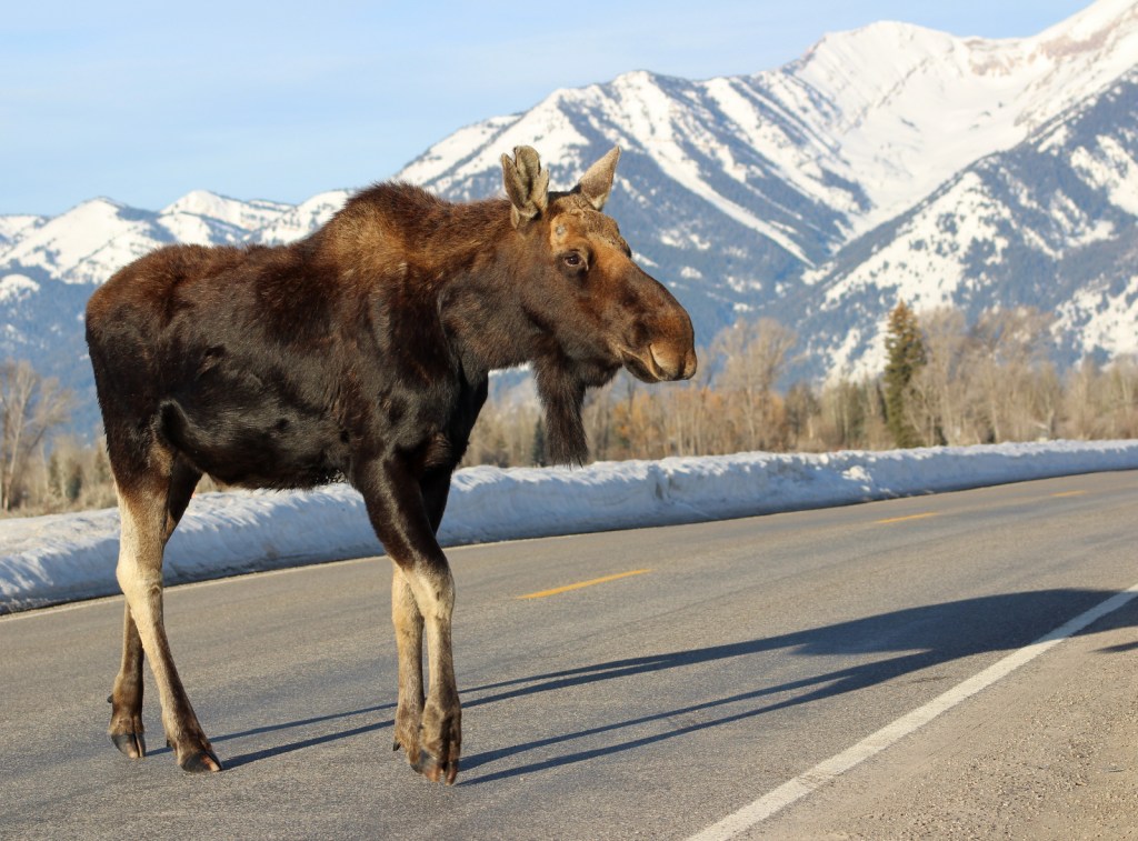
Flaming Gorge Reservoir is known for its large population lake trout, as well as kokanee salmon, rainbow trout, brown trout, smallmouth bass, channel catfish, and burbot. The reservoir also hosts a large nesting colony of ospreys, as well as many other raptors. In the mountains, watch for moose, elk, mule deer, mountain goats, and black bears.
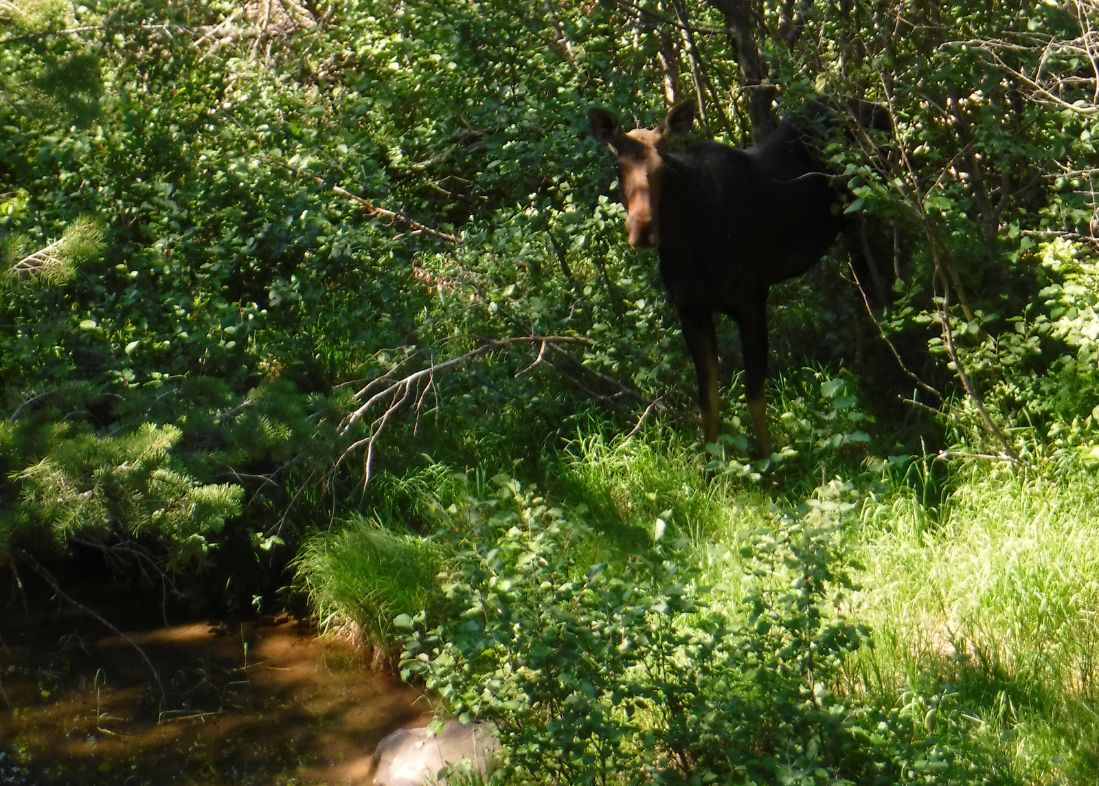
Instagram-worthy Photo
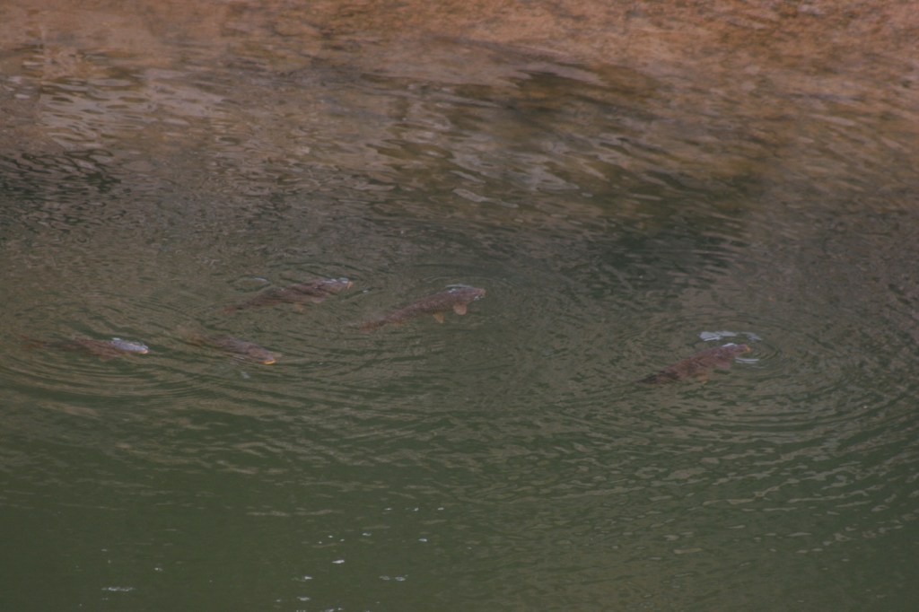
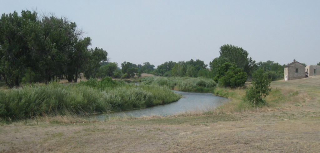
Leaving from the Uinta Canyon Trailhead, after about an hour of walking the Uinta River Trail reaches a bridge across its namesake. The river is popular with fisherman and we spotted a moose grazing near the water.

Peak Season
Summer
Fees
Every boat launch and day-use area in Flaming Gorge National Recreation Area requires a recreation pass ($5 per day, $15 per week) or America the Beautiful pass, but there is no charge to drive the Flaming Gorge-Uinta Scenic Byway or cross the dam. We did not encounter any fees in the rest of Ashley National Forest, except in campgrounds.
Road Conditions
The 82-mile Flaming Gorge-Uinta Scenic Byway is paved the whole way, but there are many unpaved roads off it including access to popular Red Canyon and Sheep Creek National Geological Area. Many roads are closed seasonally, like Red Cloud Loop and Spirit Lake Scenic Backways.
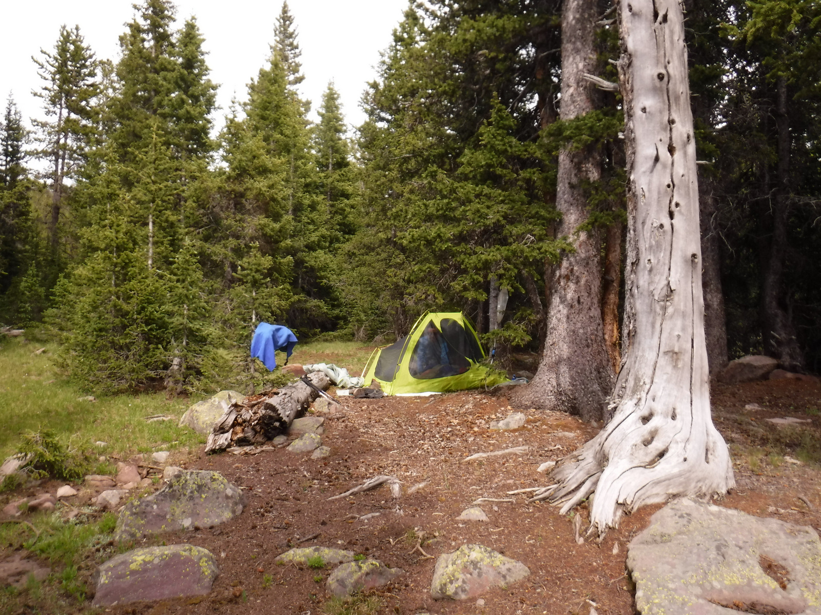
Camping
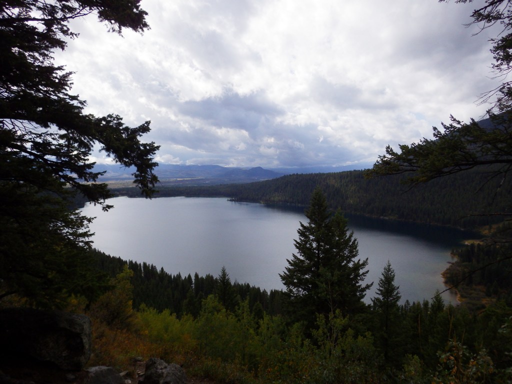
There are numerous campgrounds on and off the lake in Flaming Gorge National Recreation Area, mostly open May to September, although Dripping Springs is open year round. There are also campgrounds near most of the trailheads that access the High Uintas Wilderness. We found dirt roads off Highway 191 to be packed with dispersed campers and RVs in mid-July 2020.
Wilderness Areas
High Uintas Wilderness (also in Wasatch National Forest)
Related Sites
Dinosaur National Monument (Utah-Colorado)
Timpanogos Cave National Monument (Utah)
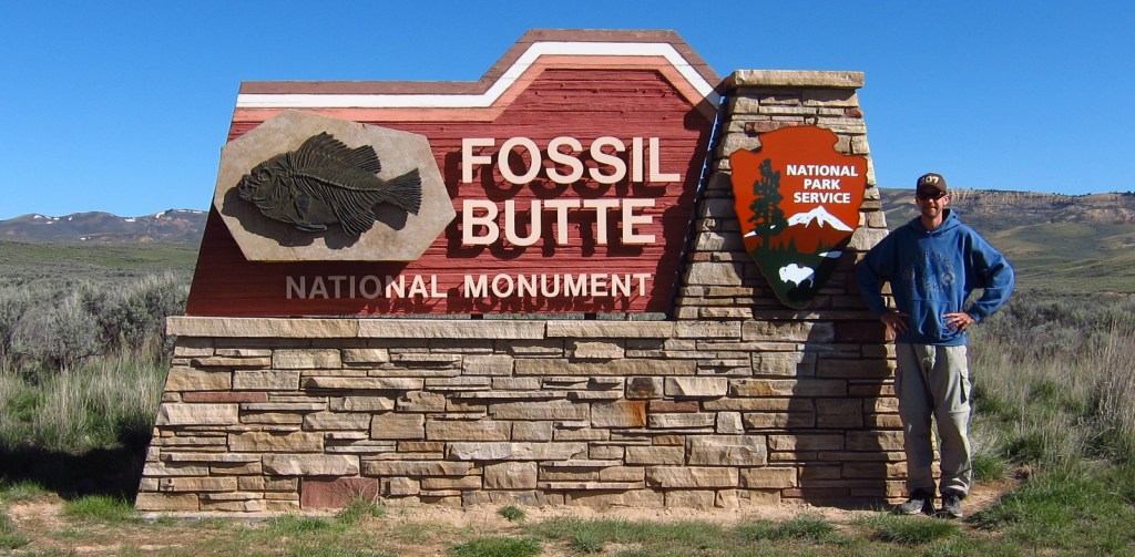
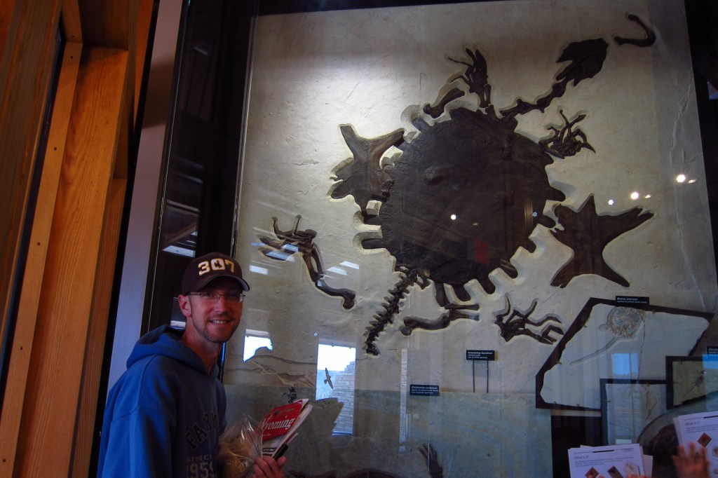
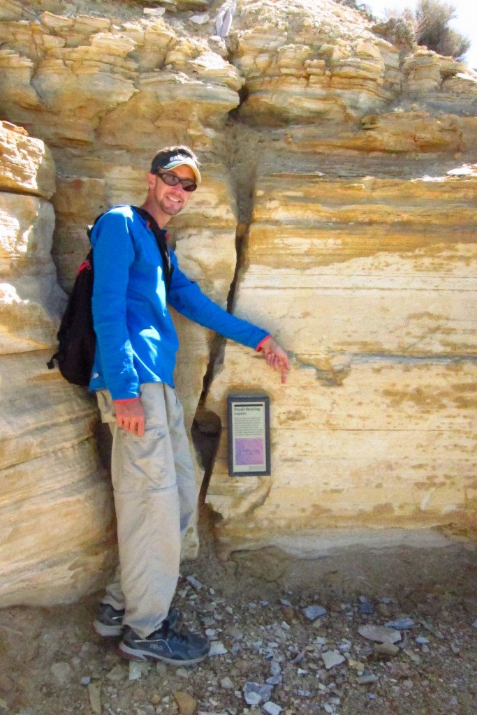
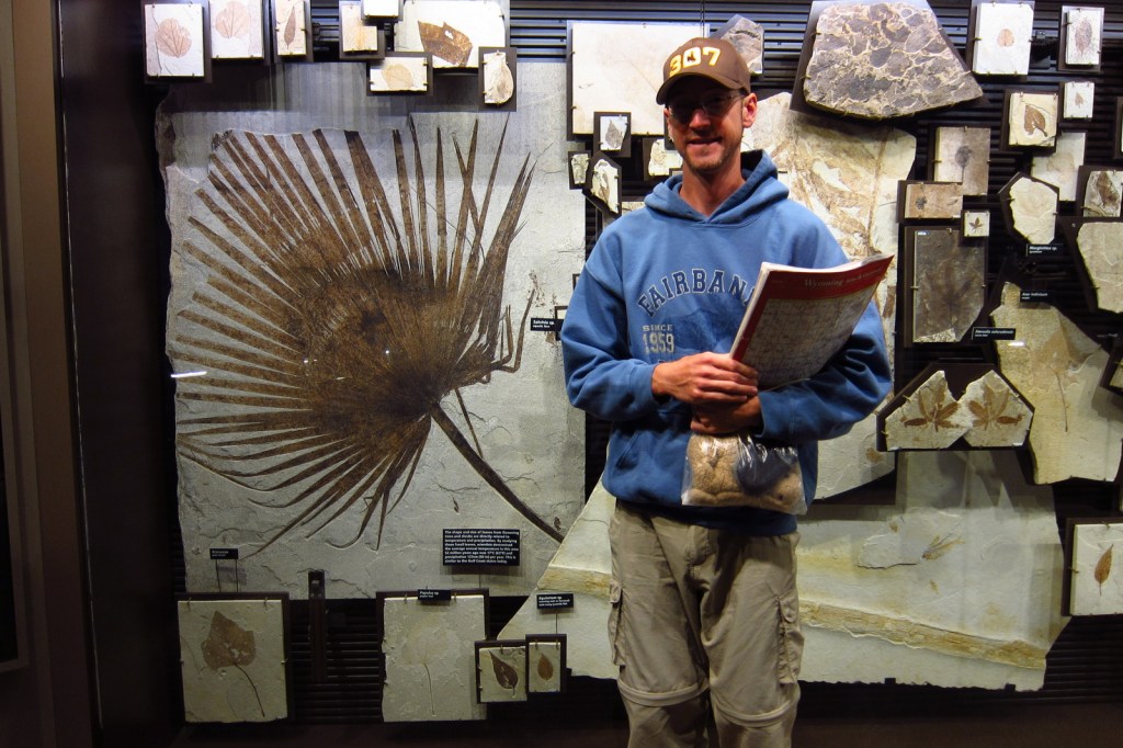
Fossil Butte National Monument (Wyoming)
Nearest National Park
Arches (Utah)


Conifer Tree Species
lodgepole pine, limber pine, ponderosa pine, pinyon pine, Douglas-fir, subalpine fir, white fir, Engelmann spruce, Rocky Mountain juniper
Flowering Tree Species
quaking aspen, blue elderberry, Gambel oak, bigtooth maple, boxelder, western birch, red osier dogwood, narrowleaf cottonwood, sagebrush
Explore More –Ashley National Forest is named after whom?