Category Archives: California

Mojave National Preserve

Overview

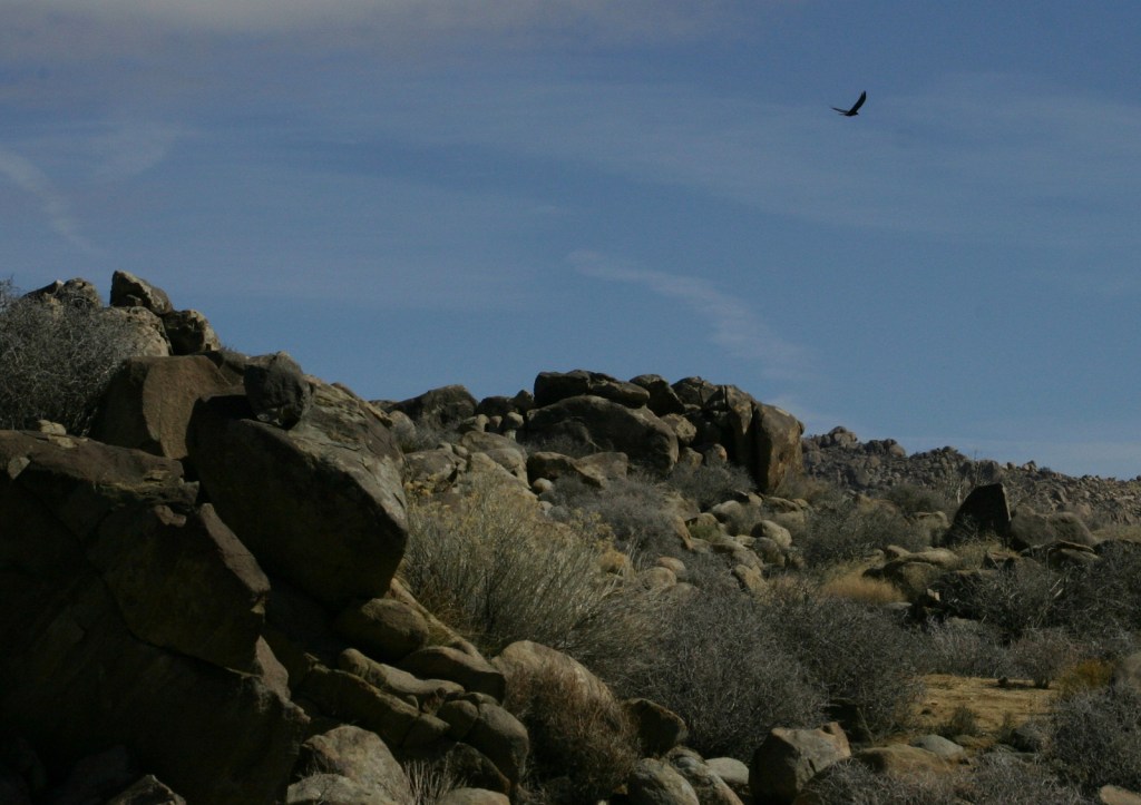
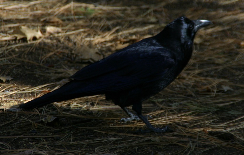
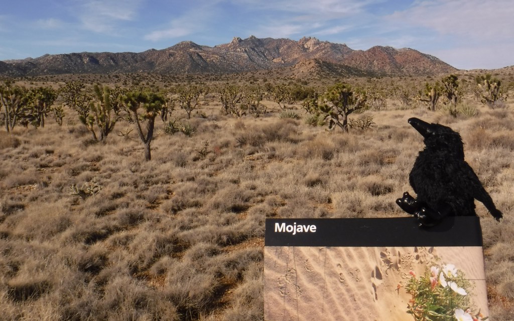
Mojave National Preserve is a massive 1.6-million acres of desert bounded by Interstate 15 to the north and Interstate 40 to the south.  Passed by millions of commuters every year, it does not take many miles of driving to leave behind the bustling freeways for a quiet landscape.  Species diversity is high here given its elevation range from 800 to 7,929 feet and its place at the intersection of three deserts: the Mojave, Great Basin, and Sonoran.  Watch for desert tortoises, Mojave rattlesnakes, roadrunners, ravens, kangaroo rats, mountain lions, mule deer, and some of the 1,000 bighorn sheep that reside in the preserve.
Highlights

Kelso Depot, film, Kelso Dunes, Hole-in-the-Wall Nature Trail, Rings Loop Trail

Must-Do Activity

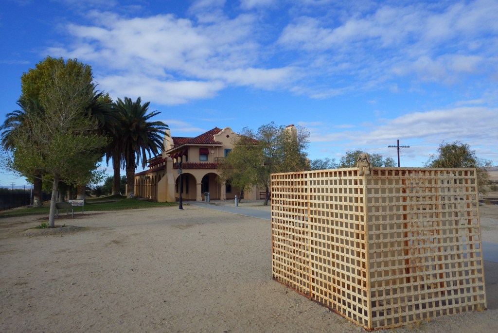
If you are driving on I-15 between California and Nevada consider entering the preserve via the Cima Road exit, with a first stop at its gas station’s interesting waterfall urinal in the men’s restroom.   From there drive south on a paved road into a dense Joshua tree forest on the gently sloping flanks of the enormous Cima Dome (an extinct volcano) and then stop at Kelso Depot where the National Park Service (NPS) operates a visitor center and museum.  From there you can continue south to the beautiful Kelso Dunes or take the paved Kelbaker Road back to Interstate 15 at Baker, home of the world’s tallest thermometer.

Best Trail

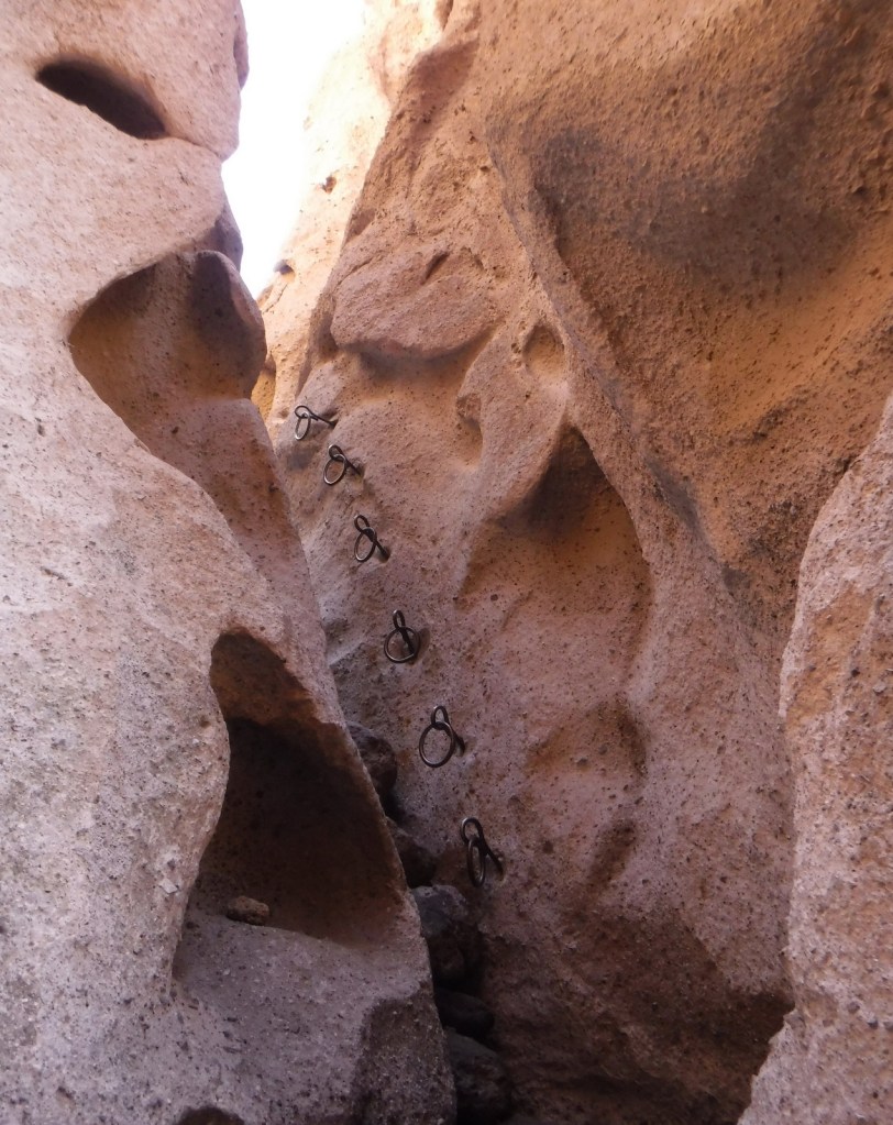
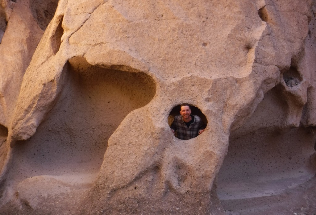
The one-mile Rings Loop Trail has metal rings cemented into its canyon walls in some places to help you ascend and descend steep portions.  Hole-in-the-Wall Nature Trail and the six-mile Barber Peak Loop Trail are also found in this area near the NPS campgrounds.

Instagram-worthy Photo

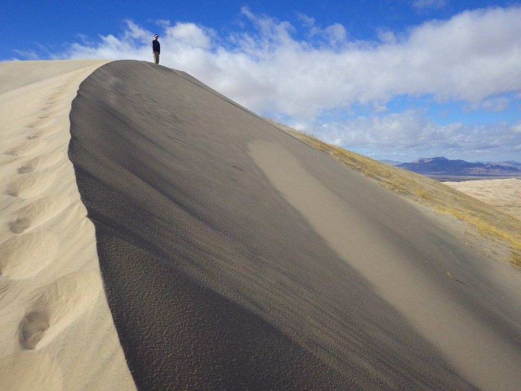
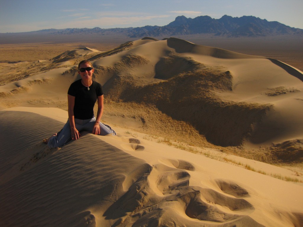
We love sand dunes (see our Top 10 list) and one of our favorites is the nearly 700-foot tall Kelso Dunes, which create a booming sound when the sand shifts and moisture conditions are right.

Peak Season

Spring and fall

Hours

https://www.nps.gov/moja/planyourvisit/hours.htm

Fees

None

Road Conditions

The main roads are paved, however, most of the 1,000 miles of roads are unpaved and some of them require a high-clearance vehicle, especially if you want to access neighboring Castle Mountains National Monument.

Camping

Dispersed camping is allowed throughout most of the preserve, but there are also NPS campgrounds around the Hole-in-the-Wall Ranger Station.

Related Sites

Castle Mountains National Monument (California)

Joshua Tree National Park (California)

Death Valley National Park (California)
Explore More – How many acres of Wilderness are designated within Mojave National Preserve?
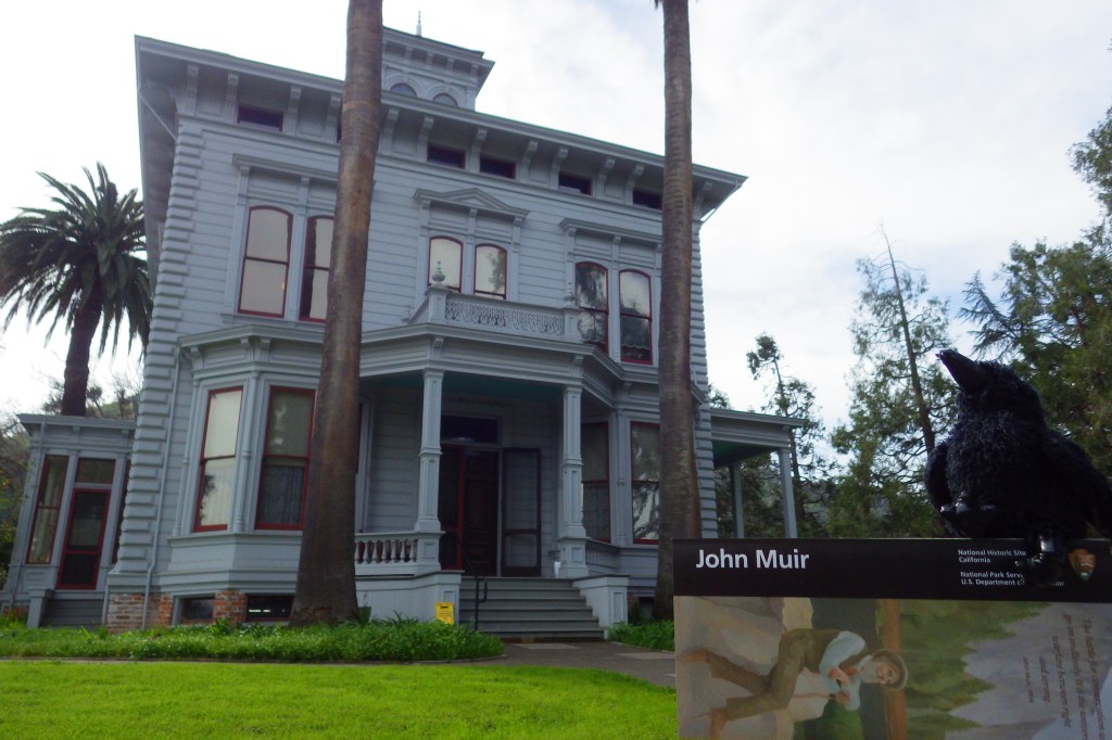
John Muir National Historic Site

Overview

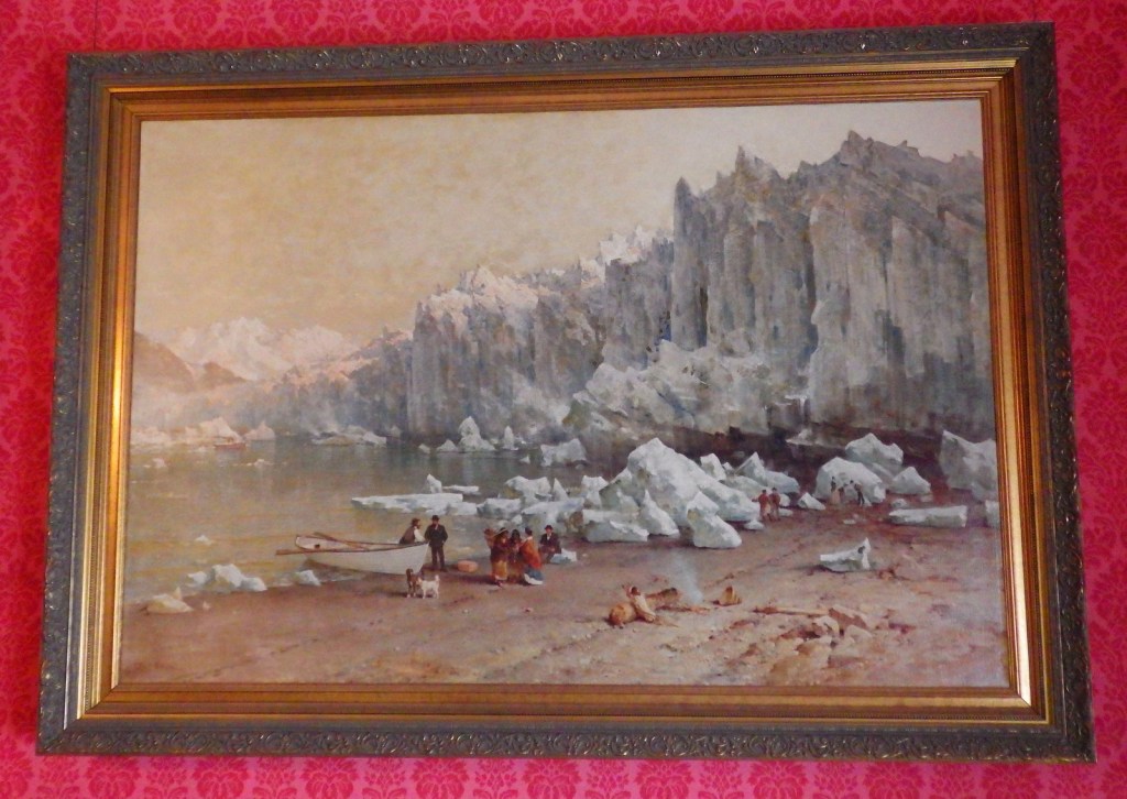
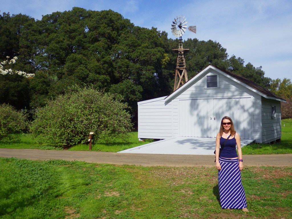
Martinez, California is now a bustling suburb of San Francisco, but it was once home to a fruit ranch managed by the famous 19th-century preservationist John Muir.  The house where he did most of his writing between 1890 and his death in 1914 is now backed by a freeway.  Classic non-fiction accounts of his outdoor adventures are still in print and include The Yosemite, Travels in Alaska, and Our National Parks.  His work as co-founder of the Sierra Club helped inspire elected officials to preserve huge sections of public land for the enjoyment of future generations.

Highlights

House tour, film, Mount Wanda, Juan Bautista de Anza National Historic Trail museum

Must-Do Activity

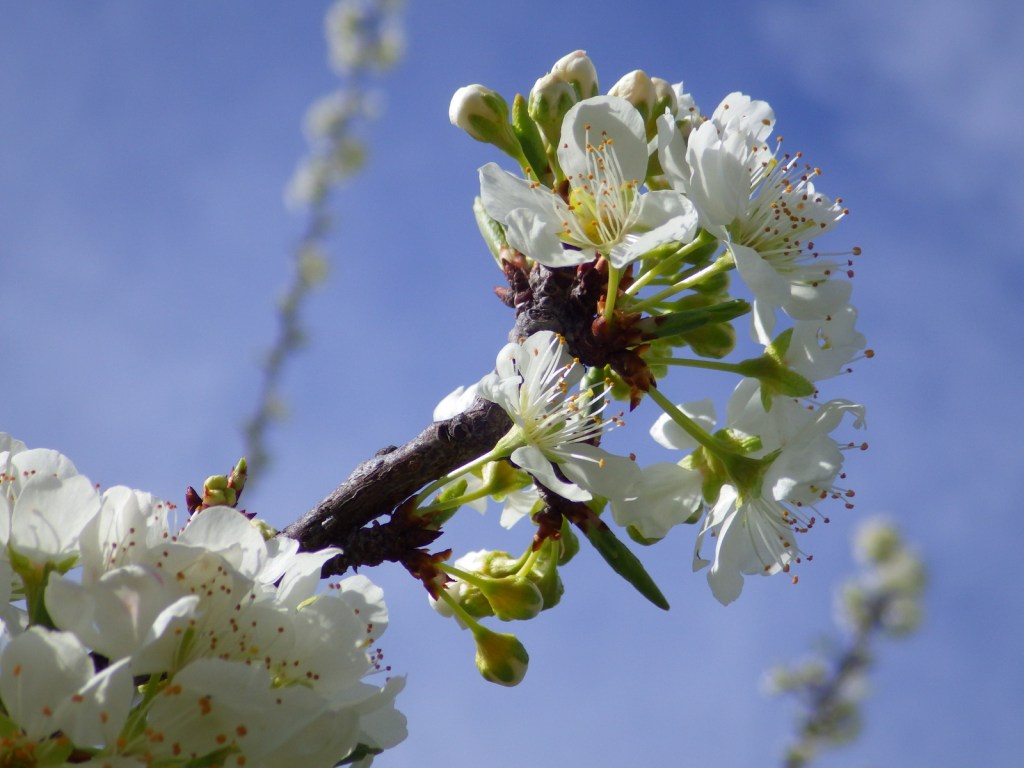
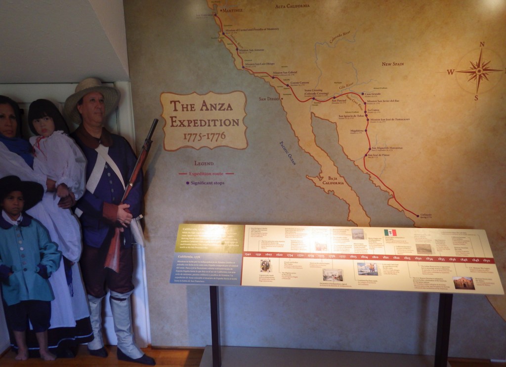
Start your visit by watching the well-produced interpretive film A Glorious Journey (20 minutes).  Ranger-guided tours are the only way to step inside Muir’s 14-room Victorian house (free ticket required).  After the tour you can walk through what remains of the fruit orchards.  Also check out an adobe house on the property that is now a museum dedicated to the 1,200-mile Juan Bautista de Anza National Historic Trail.

Best Trail

Off site is located a 326-acre portion of John Muir National Historic Site around Mount Wanda, named for one of Muir’s daughters.  A one-mile trail leads to the summit and full-moon hikes are guided by park rangers in the summer months.

Instagram-worthy Photo

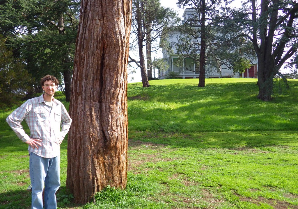
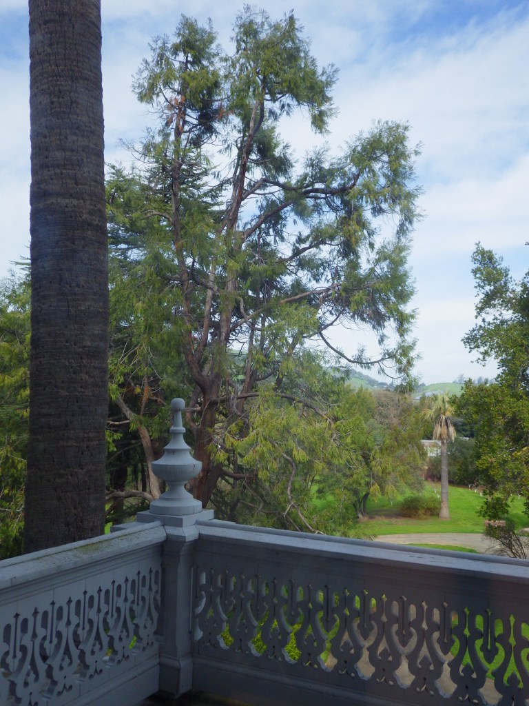
Muir planted a giant sequoia tree from the Sierra Nevada here and it is quite large after a century of growth.

Peak Season

Summer

Hours

https://www.nps.gov/jomu/planyourvisit/hours.htm

Fees

None

Road Conditions

All roads are paved, though there is limited parking in the small NPS lot.  Be aware that traffic can be heavy in the San Francisco Bay Area.

Camping

There is no camping nearby, but perhaps you can follow in Muir’s footsteps and head for Yosemite National Park in the Sierra Nevada.

Related Sites

Muir Woods National Monument (California)

Glacier Bay National Park and Preserve (Alaska)

Rosie the Riveter/World War II Home Front National Historical Park (California)

Explore More – What did John Muir call his second-floor writing room where he composed some of the most influential works of his time?
We are a participant in the Amazon Services LLC Associates Program, an affiliate advertising program designed to provide a means for us to earn fees by linking to Amazon.com and affiliated sites.

Yosemite National Park

Yosemite National Park

California

Managed by National Park Service

Established 1890

747,956 acres

Website: nps.gov/yose

Overview

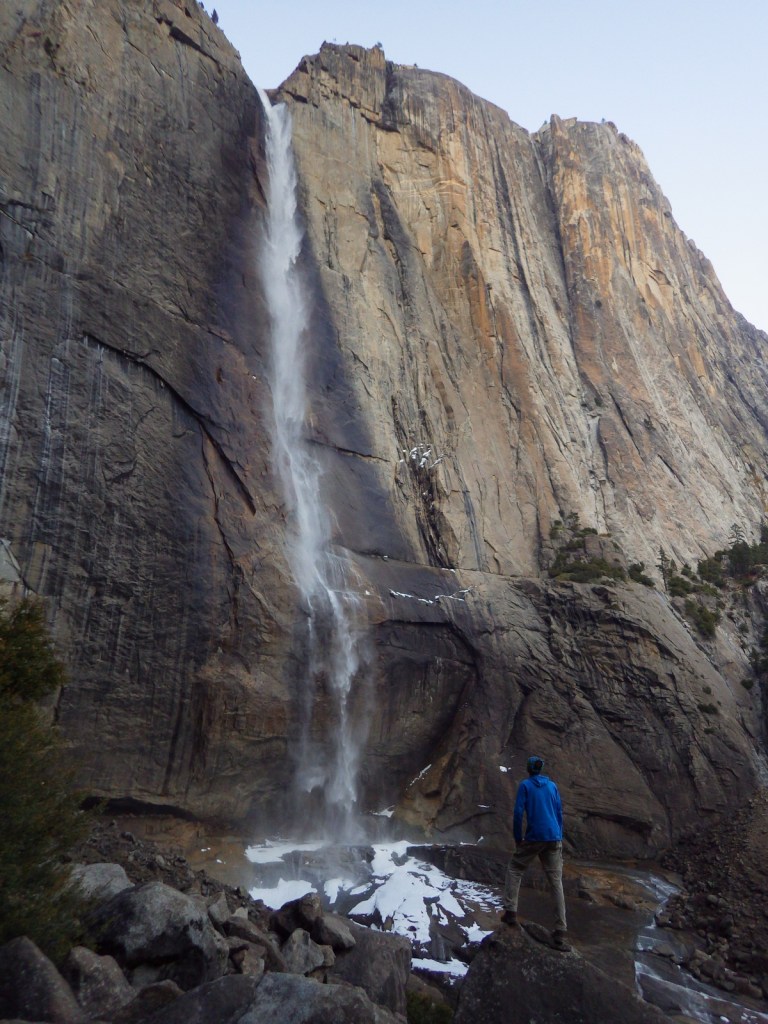
Given its 4-million annual visitors, it can be hard to practice social distancing at Yosemite National Park.  In the summer, it can even be difficult to find parking in bustling Yosemite Valley.  The legendary valley is home to El Capitan and Half Dome, rock formations known around the world, as well as countless waterfalls.  There are places to find solitude in the popular park, though.

Know someone who loves National Parks? Gift them our travel guide A Park to Yourself: Finding Solitude in America’s 63 National Parks. 
Highlights

Yosemite Valley, Glacier Point, Tuolumne Meadows, Mariposa Grove

Must-Do Activity

When entering Yosemite Valley on Highway 41 from the south, your first sight of the valley is stunning upon emerging from a long tunnel.  You simply have to stop at the iconic Tunnel View parking area.  Although the forest here is denser than in the past, the scene has not changed much since President Lincoln signed the bill to preserve this area in 1864.  While the Yosemite Valley can get incredibly busy during peak tourist season, hike a mile up a trail and you might find a solitary place to enjoy one of the numerous waterfalls.

Best Trail

Formerly a paved tram route, the trail through the Mariposa Grove of giant sequoia trees is a major highlight outside Yosemite Valley.  We especially enjoyed snowshoeing there in the winter.

Instagram-worthy Photo

From May to November, you can drive up to Glacier Point for great views into Yosemite Valley from the cliffs above.  We chose this overlook for our original logo of Yosemite National Park (see below).

Peak Season

Summer

Hours

https://www.nps.gov/yose/planyourvisit/hours.htm

Fees

$35 per vehicle or America the Beautiful pass

Road Conditions

All roads are paved, even the one that goes over 9,945-foot high Tioga Pass, which crosses the Sierra Nevada and is closed in the winter (as is Glacier Point Road, though it remains open to cross-country skiers).

Camping

There are multiple campgrounds within the park and some take reservations, but there are no RV hookups except outside the park.

Related Sites

Sequoia National Park (California)

Devils Postpile National Monument (California)

Whiskeytown National Recreation Area (California)

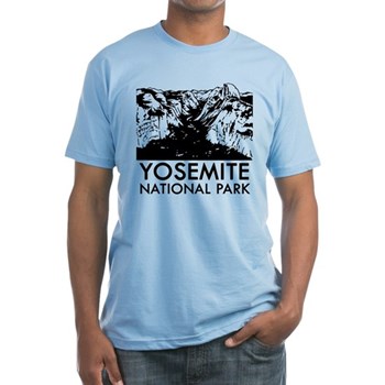
This design we created to celebrate Yosemite National Park is available on a variety of products at Cafe Press and Amazon.

Explore More – John Muir wrote extensively about the Yosemite Valley and Sierra Nevada, but many of his readers do not know he was an immigrant to America; in what country was he born?

Know someone who loves National Parks? Gift them our travel guide A Park to Yourself: Finding Solitude in America’s 63 National Parks. 

Point Reyes National Seashore

Overview

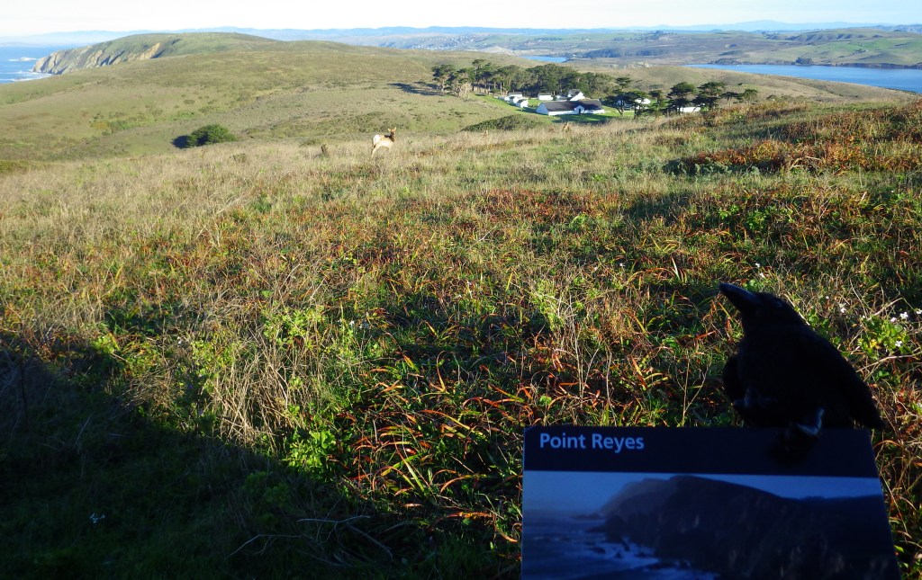
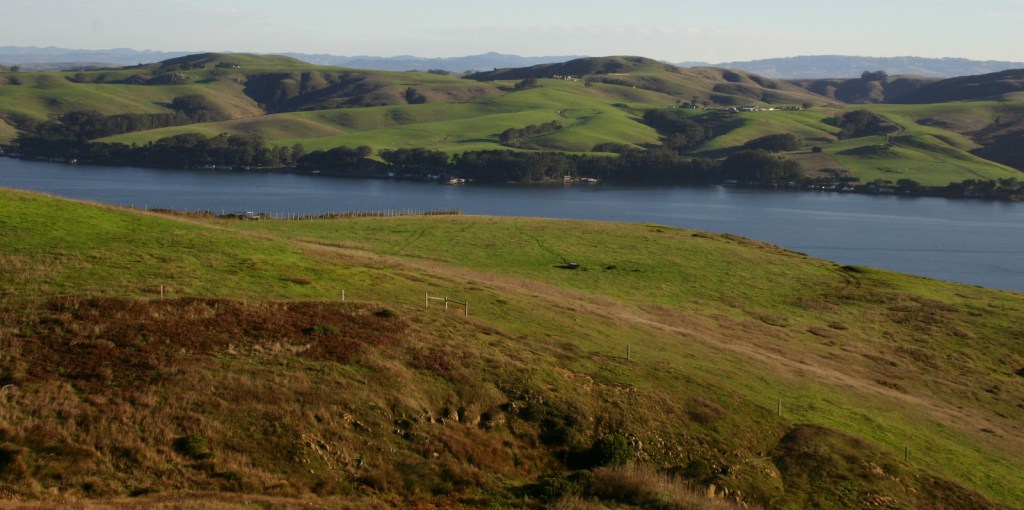
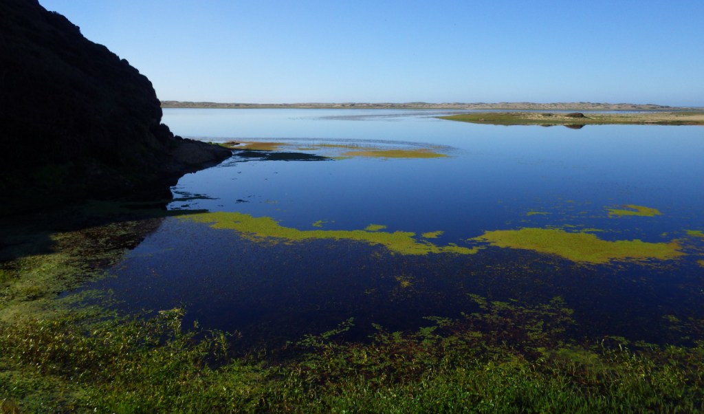
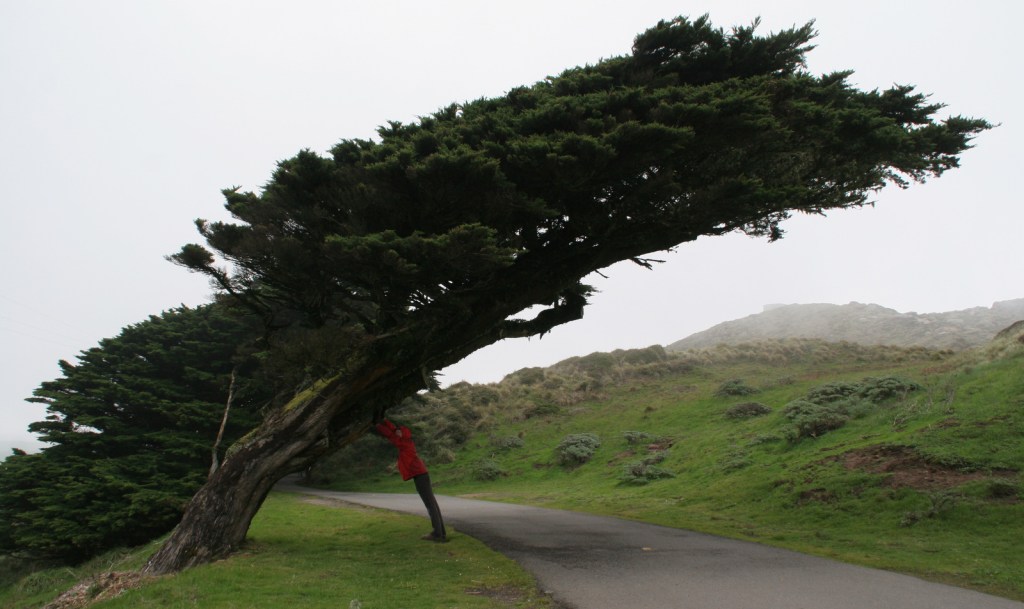
North of San Francisco, California, Point Reyes National Seashore is the only park so designated on the Pacific Coast of the U.S.  Be prepared to get wet as this piece of land located on the San Andreas Fault is frequently enveloped by a fog belt year round.  It might not be the best spot to sunbathe on the beach, but this unique seashore is a great place to watch wildlife.

Highlights

Point Reyes Lighthouse, beaches, Arch Rock, Historic Pierce Point Ranch, Tomales Bay

Must-Do Activity

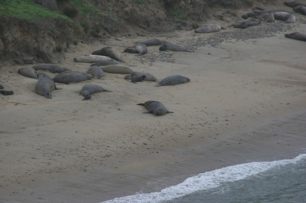
The main attraction is the Point Reyes Lighthouse, where you can try to spot sea lions and gray whales on their winter migration.  It is 300 steps down to the historic lighthouse, then you have to turn around and climb back up.  Nearby Drakes Beach is off limits in the winter months when elephant seals gather there and you can watch (and listen to) them from an overlook.  The park is popular with road and mountain bikers, and well-protected Tomales Bay attracts kayakers.

Best Trail

An extensive trail system with backcountry campsites (including two near the beach) is best accessed from the Bear Valley Visitor Center.  Plus, you can always walk the 11-mile long Point Reyes Beach.

Instagram-worthy Photo

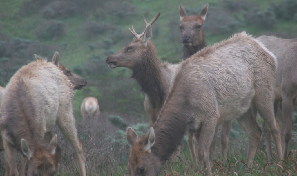
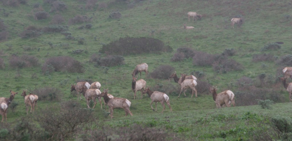
The park has a reintroduced herd of Tule elk near the Historic Pierce Point Ranch on Tomales Point.  If you visit in January, you might find a bull was waiting for his other antler to drop.

Peak Season

Summer, though the weather is pretty much the same year round.

Hours

https://www.nps.gov/pore/planyourvisit/hours.htm

Fees

None

Road Conditions

All roads paved, except a few short ones that access trailheads.

Camping

There is no campground in Point Reyes National Seashore, but there are backcountry campsites that area available with a permit (reservations available).

Related Sites

Cabrillo National Monument (California)

Golden Gate National Recreation Area (California)

Olympic National Park (Washington)

Explore More – How far did the entire Point Reyes Peninsula permanently shift during the 1906 San Francisco Earthquake?

Whiskeytown-Shasta-Trinity National Recreation Area

Overview

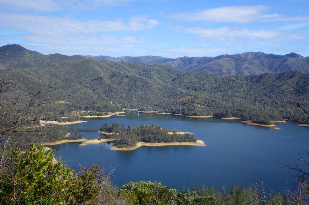
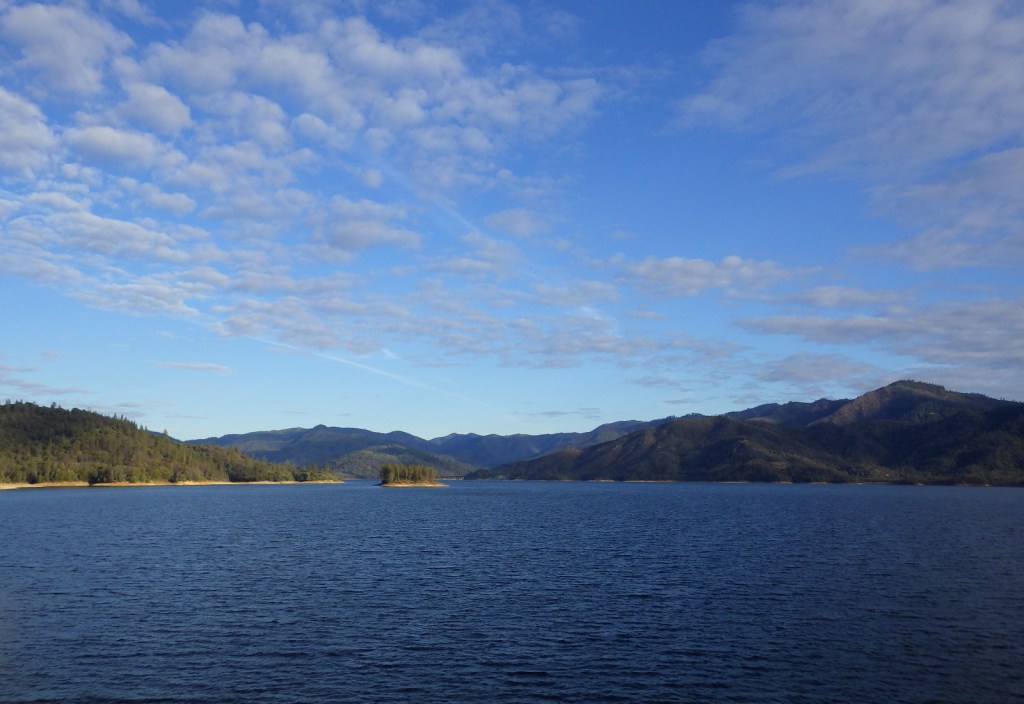
Whiskeytown-Shasta-Trinity National Recreation Area is co-managed by the National Park Service (NPS) and the U.S. Forest Service.  The NPS is in charge of Whiskeytown Lake, a reservoir west of Interstate 5, about 230 miles north of San Francisco, California.  Camping, hiking, gold panning, fishing, boating, and swimming are popular activities, but watch out for poison-oak.

Highlights

Waterfall Challenge, Camden House, gold panning, lake recreation opportunities

Must-Do Activity

Pick up an official Waterfall Challenge Passport at the NPS visitor center along with information on the four waterfall hiking trails.  Tower House Historic District includes the Camden House built in 1852 by a Gold Rush prospector, with seasonal tours offered by the NPS (it was temporarily closed in 2019 after the Carr Fire).  You can even pan for gold (with a $1 permit).

Best Trail

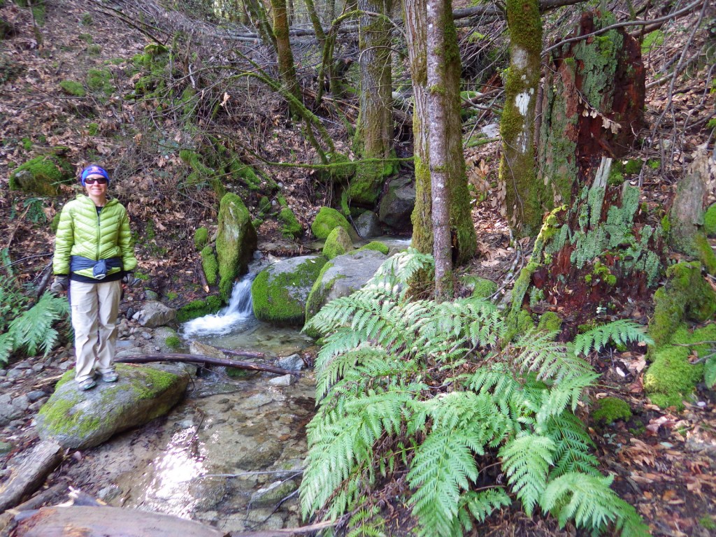
Whiskeytown Falls, Boulder Creek Falls, Brandy Creek Falls, and Crystal Creek Falls are accessible by hiking a total of 11 miles, but it may take longer depending on your choice of trails and road closures.  The trails are steep and poorly marked in some places.

Instagram-worthy Photo

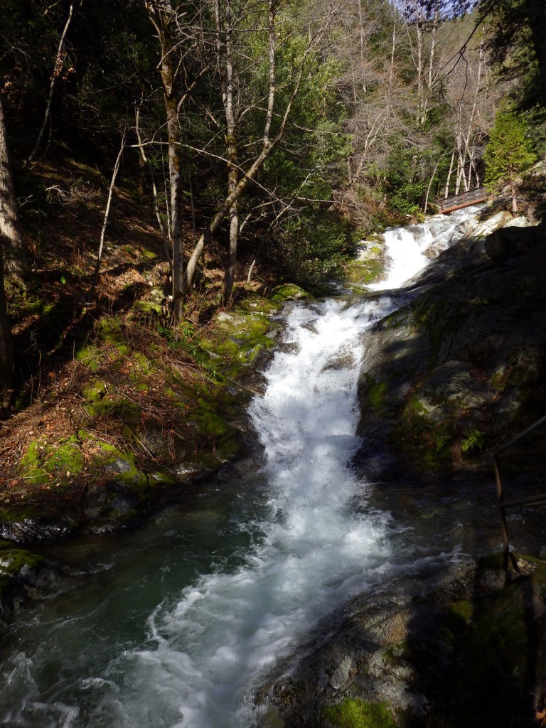
Whiskeytown Falls is 220 feet tall and is accessible on a 3.4-mile roundtrip trail, but we thought the most photogenic waterfall was Crystal Creek Falls.

Peak Season

Summer

Hours

https://www.nps.gov/whis/planyourvisit/hours.htm

Fees

$25 per vehicle or America the Beautiful pass

Road Conditions

Highway 299 on the north side Whiskeytown Lake is paved and accesses Oak Bottom Campground.  Some of the gravel access roads are rough, but passable even with passenger vehicles.

Camping

There are eight campgrounds around the lake, some tent-only, but RVs are allowed at Oak Bottom and Brandy Creek Campgrounds.

Related Sites

Lava Beds National Monument (California)

Lassen Volcanic National Park (California)

Oregon Caves National Monument and Preserve (Oregon)

Explore More – In what year was the Central Valley Project begun that years later formed the 3,200-acre Whiskeytown Lake?