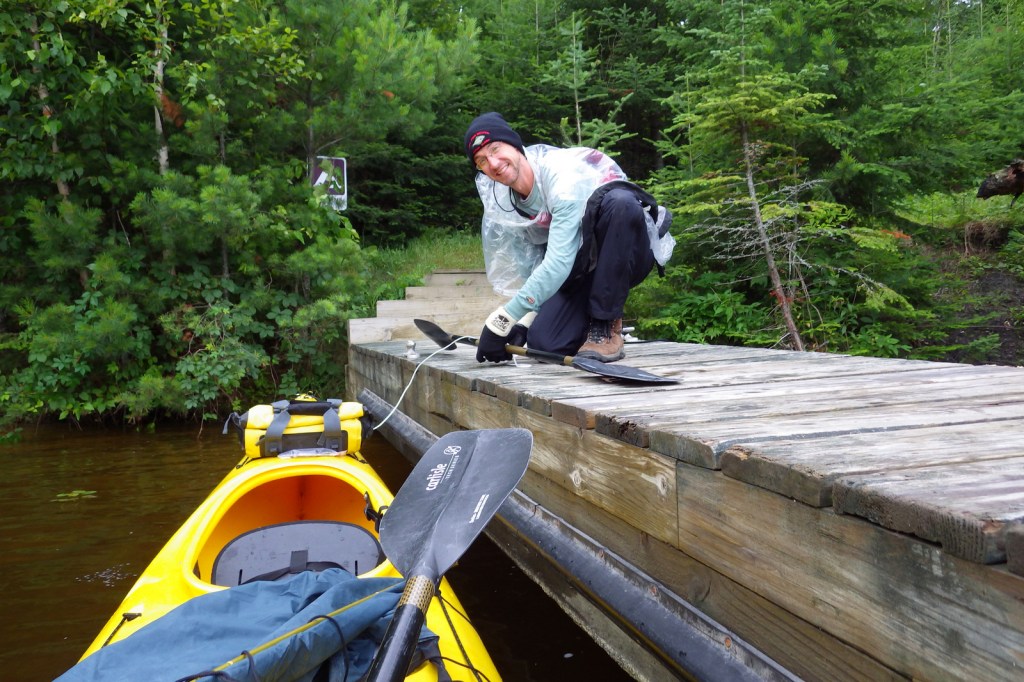
We own a 17-foot long tandem kayak that we have taken all over the United States, including some rivers where it may have been preferable to canoe. Some of our most memorable National Park experiences have happened while seated in our kayak. This does not include two amazing trips through Upper Missouri River Breaks National Monument in Montana, which you can read about on our other travel blog since it is not managed by the National Park Service. Please check out all of our Top 10 lists for more adventure ideas and book recommendations!
10. Virgin Islands Coral Reef National Monument (U.S. Virgin Islands)
There is no dry land in this Caribbean monument that borders Virgin Islands National Park.
9. Ozark National Scenic Riverways (Missouri)
Canoes are also commonly used to explore the Jack’s Fork and Current Rivers.
8. Biscayne National Park (Florida)
A kayak can get close to the mangroves since most of this park covers ocean south of Miami.
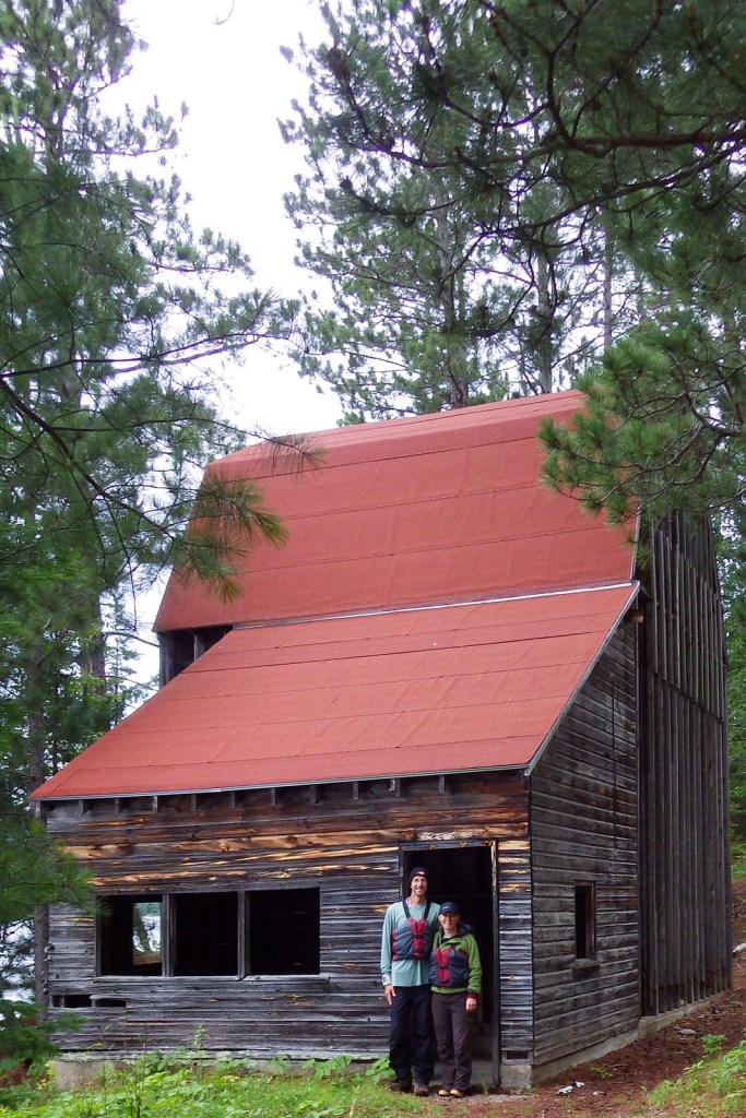
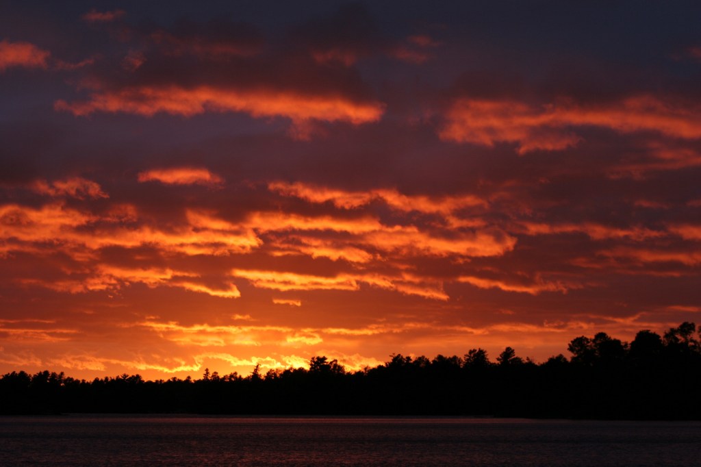
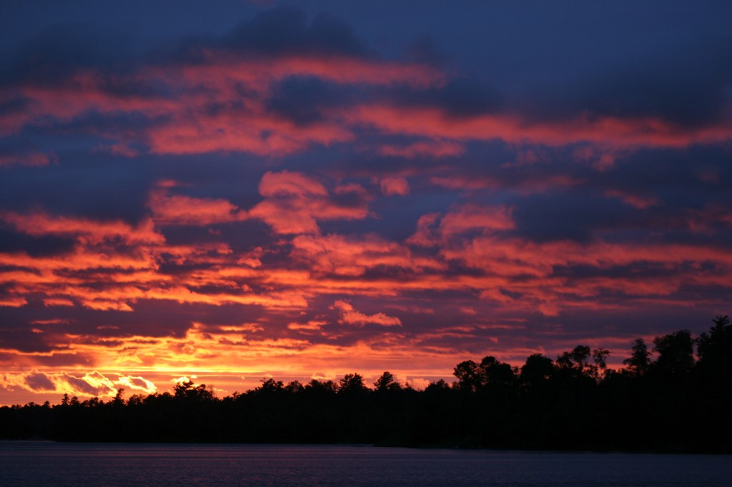
7. Voyageurs National Park (Minnesota)
Find a free lakeside campsite and fall asleep listening to loons call.
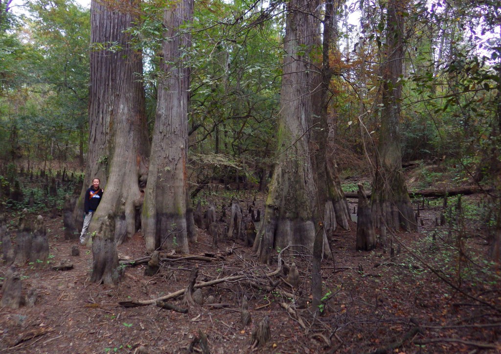
6. Congaree National Park (South Carolina)
Get up close to wildlife and baldcypress knees on Cedar Creek.

5. Lake Mead National Recreation Area (Nevada-Arizona)
Stop at Emerald Cove for photos on the way to or from Arizona Hot Springs.
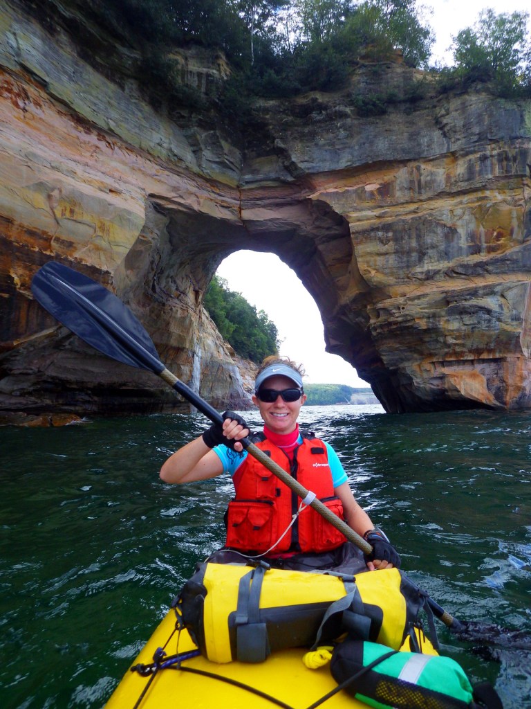
4. Pictured Rocks National Lakeshore (Michigan)
The only way to see Petit Portal is from the water and a kayak is necessary to go through it.
3. Buffalo National River (Arkansas)
Canoes may be preferable to run through the Ponca Wilderness during spring runoff.
2. Everglades National Park (Florida)
The best way to see this park is from a small boat, plus by staying overnight on a chickee.
…and finally our #1 National Park for kayaking!

1. Apostle Islands National Lakeshore (Wisconsin)
Sea caves carved by the waves of Lake Superior require a small craft to explore.
Honorable Mentions
Point Reyes National Seashore (California)
Located on the San Andreas Fault, Tomales Bay is a protected spot to explore north of San Francisco.
Glacier Bay National Park and Preserve (Alaska)
We have heard the best way to see this park is by kayak, but it sounds really cold.
Channel Islands National Park (California)
We hope someday to take a guided kayaking trip to the sea caves on Santa Cruz Island.

Big Thicket National Preserve (Texas)
Spanish moss-draped baldcypress trees line these picturesque bayous.