Mendocino National Forest
California
Managed by U.S. Forest Service, Pacific Southwest Region
1,079,850 acres (911,733 federal/ 168,117 other)
Website: https://www.fs.usda.gov/r05/mendocino
Overview
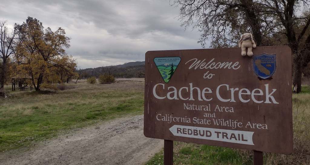
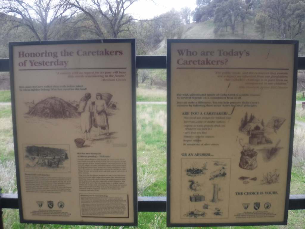
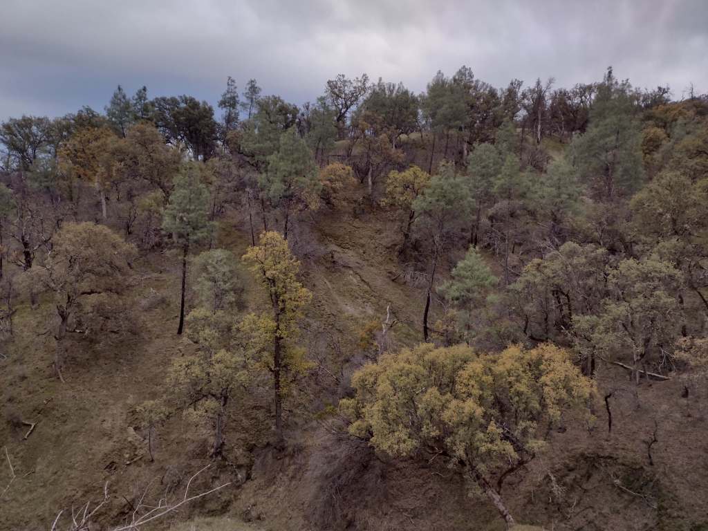
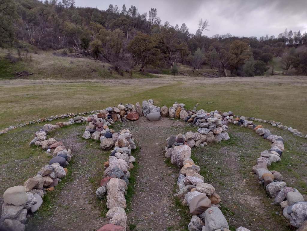
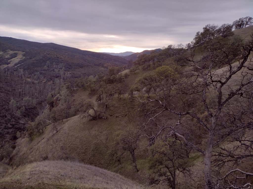
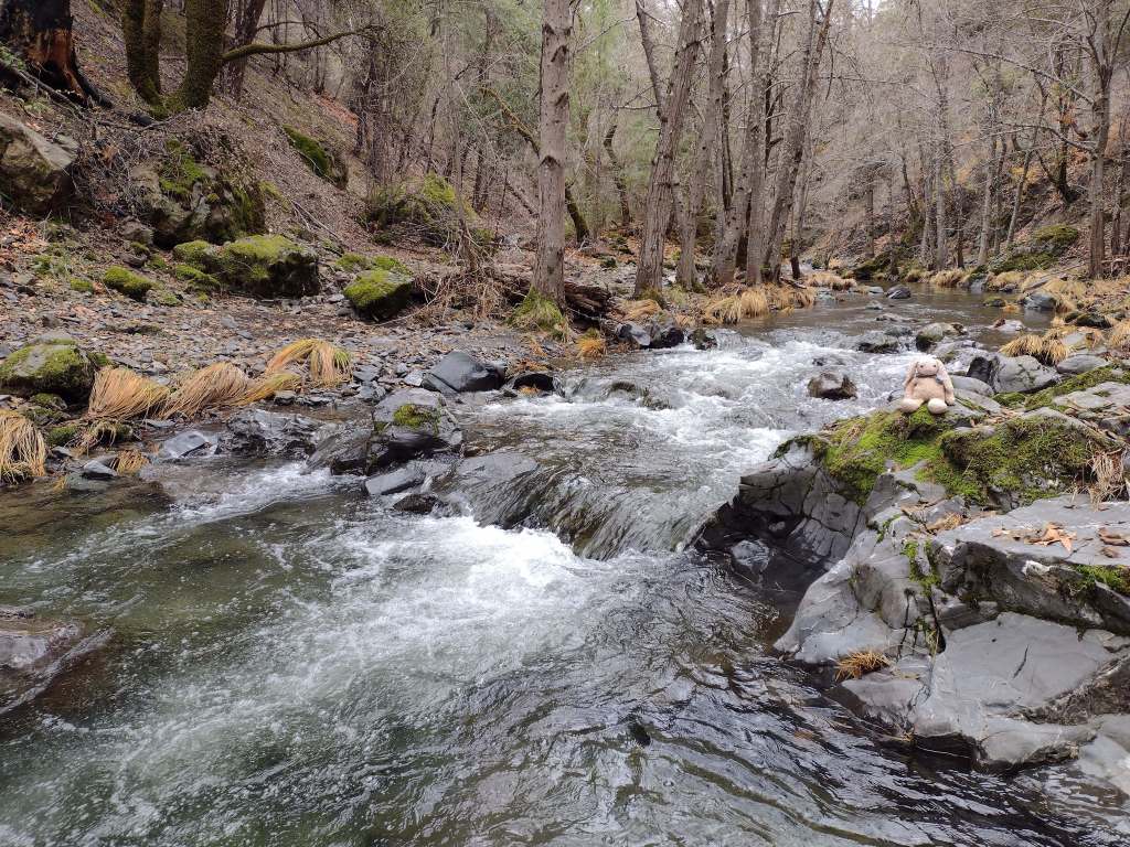
Originally called California National Forest in 1908, this area between Interstate 5 and Highway 101 was renamed Mendocino National Forest 24 years later. It stretches north-south along the Coast Range covering parts of six counties north of San Francisco. Similar to Los Padres National Forest, it contains rocky serpentine ridgelines where only specially adapted plants can tolerate the heavy metals in the soil, like Sargent cypress and the shorter McNab cypress. Both species can be found along Frenzel Creek near Little Stoney Campground. In 1953, a Forest Service employee and 14 volunteer firefighters died in the Rattlesnake Fire and a memorial overlooking Rattlesnake Canyon is located off Forest Highway 7 on Alder Springs Road. Mendocino National Forest includes the northern portion of Berryessa Snow Mountain National Monument (see our full blog post), established in 2015 and administered in cooperation with the Bureau of Land Management.
Know someone who loves the National Forests? Gift them our travel guidebook Out in the Woods so they can learn more about all 155 National Forests.

Highlights
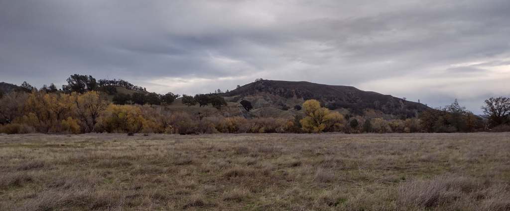
Berryessa Snow Mountain National Monument, Lake Pillsbury, Thomes Gorge, Hull Mountain, Frenzel Creek, Harvey Peak, Ide’s Cove Trail
Must-Do Activity
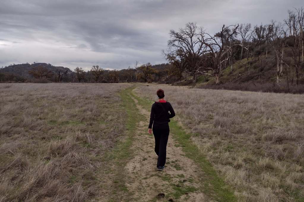
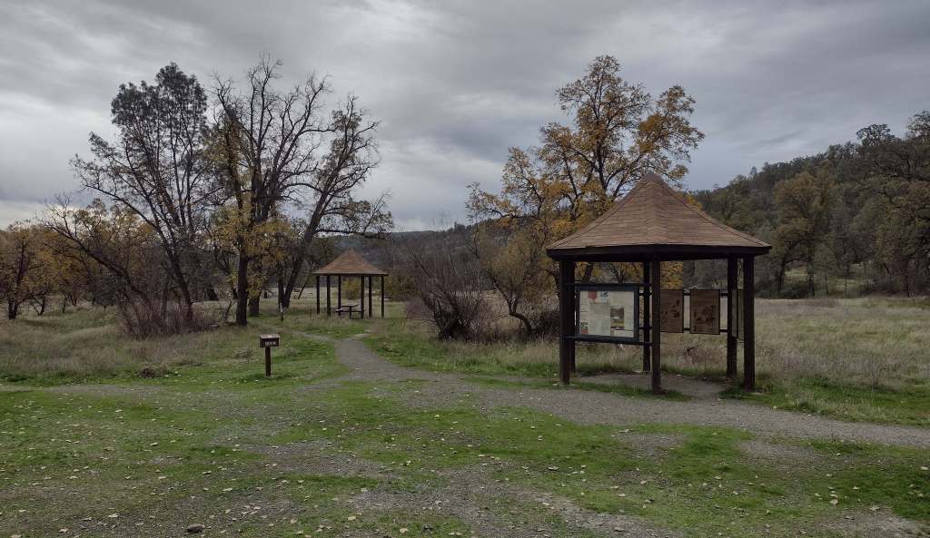
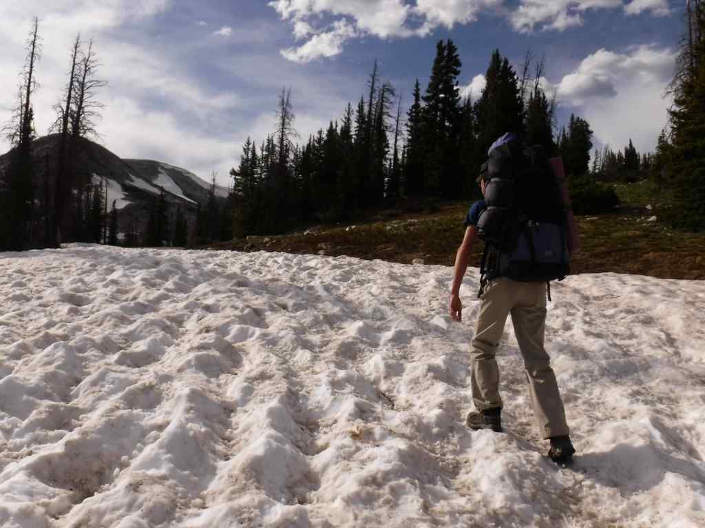
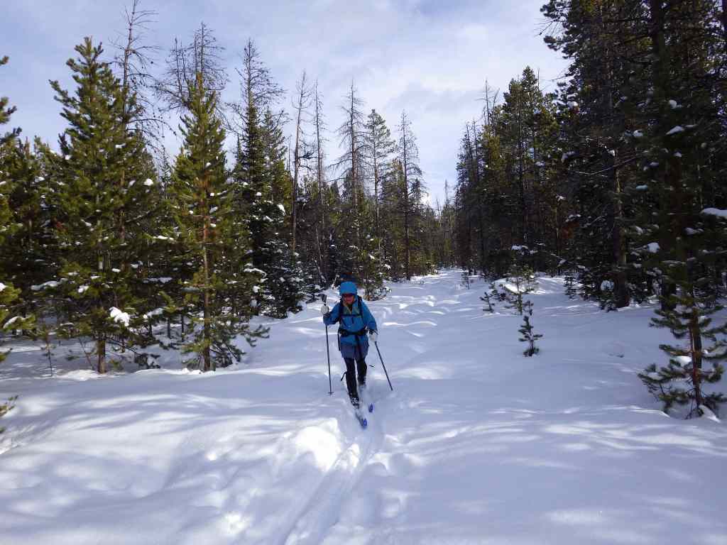
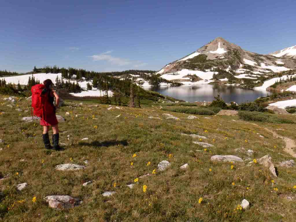
There are 18 National Forests in California (the most of any state), but Mendocino is the only one not crossed by a paved highway. It is a wonderful destination for outdoor recreation, both motorized and non-motorized, including Hull Mountain which is popular with hang gliders. Lake Pillsbury is 2,280 acres and offers boat ramps, campgrounds, and a resort, while 35-acre Letts Lake has a campground and access to hiking trails.
Best Trail
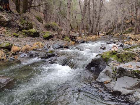
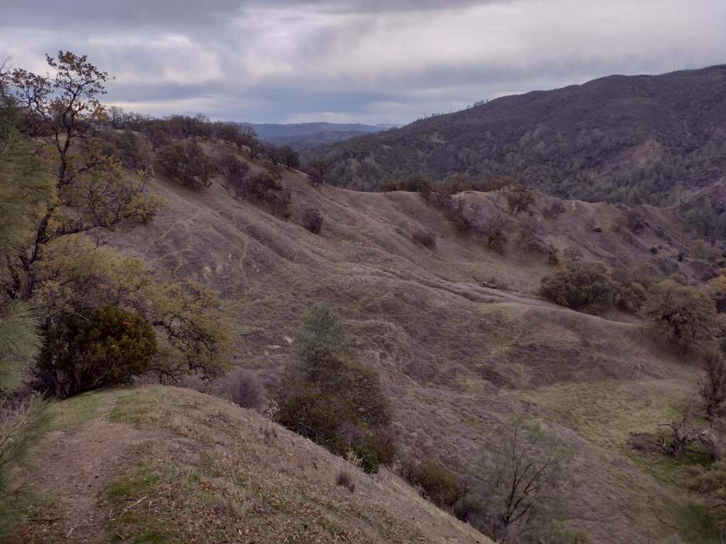
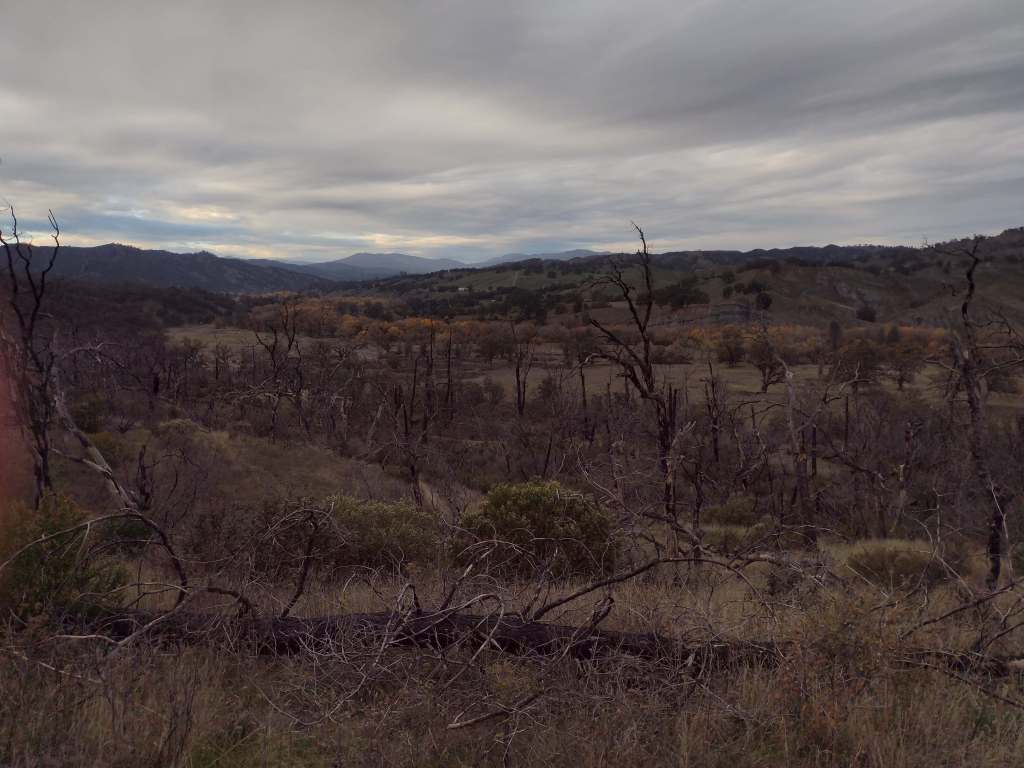
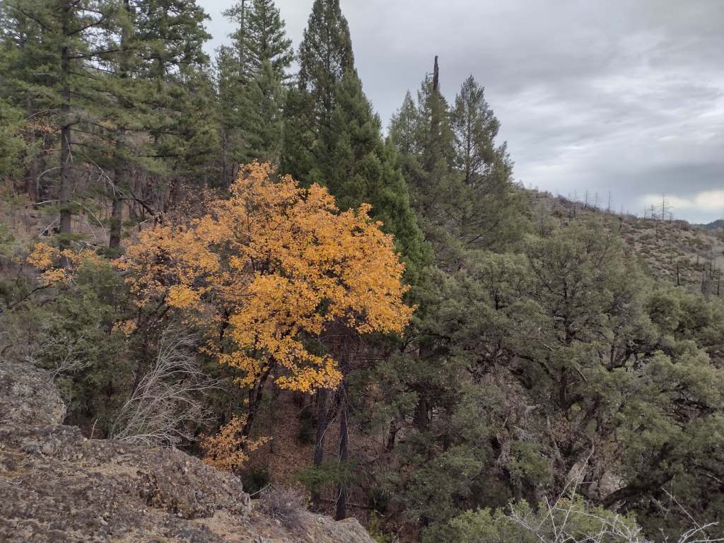
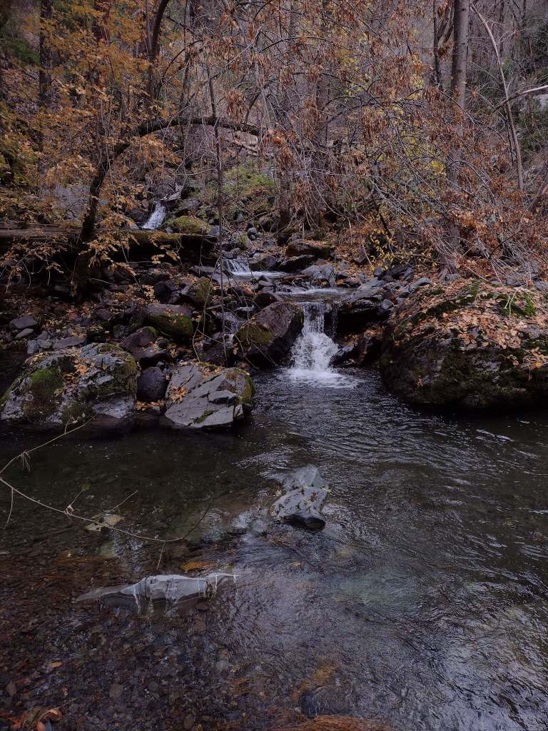
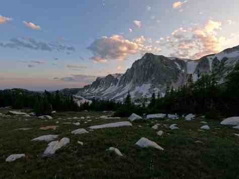
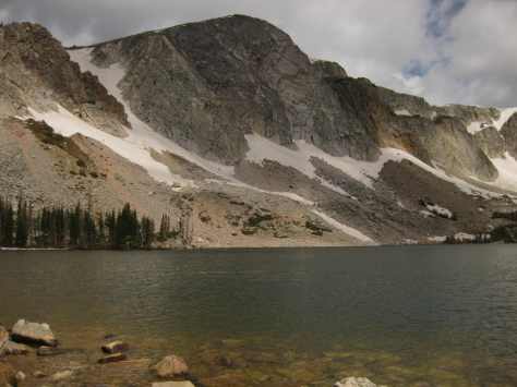
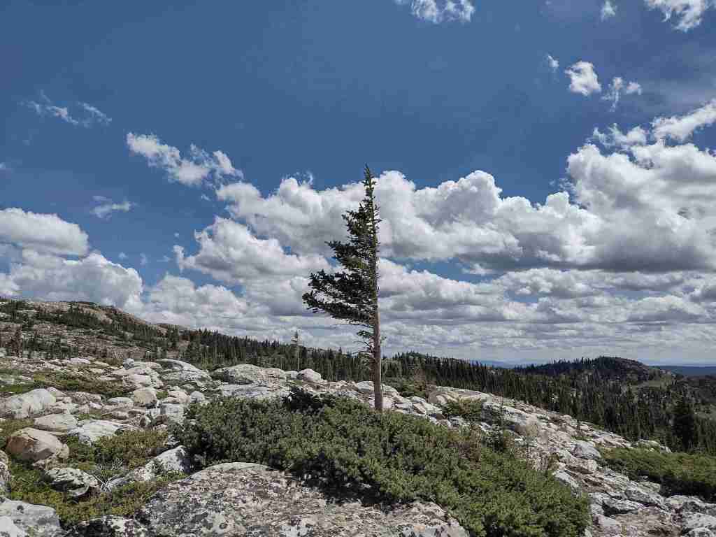
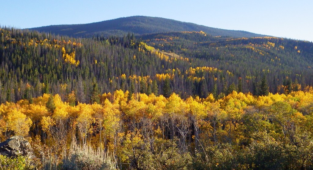
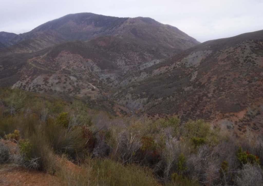
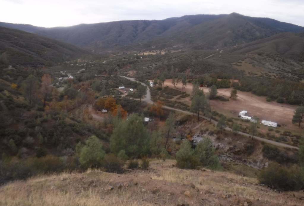
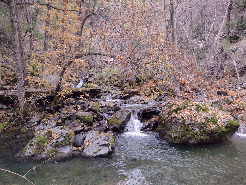
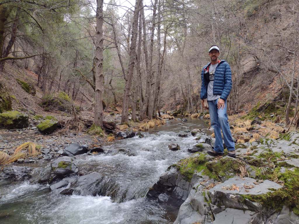
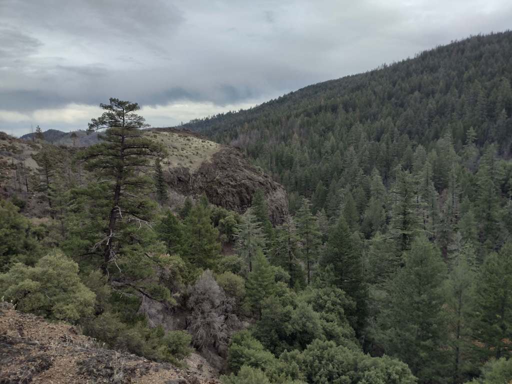
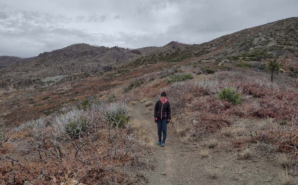
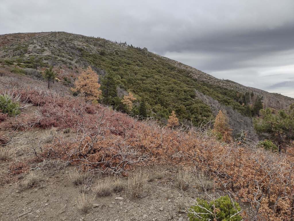
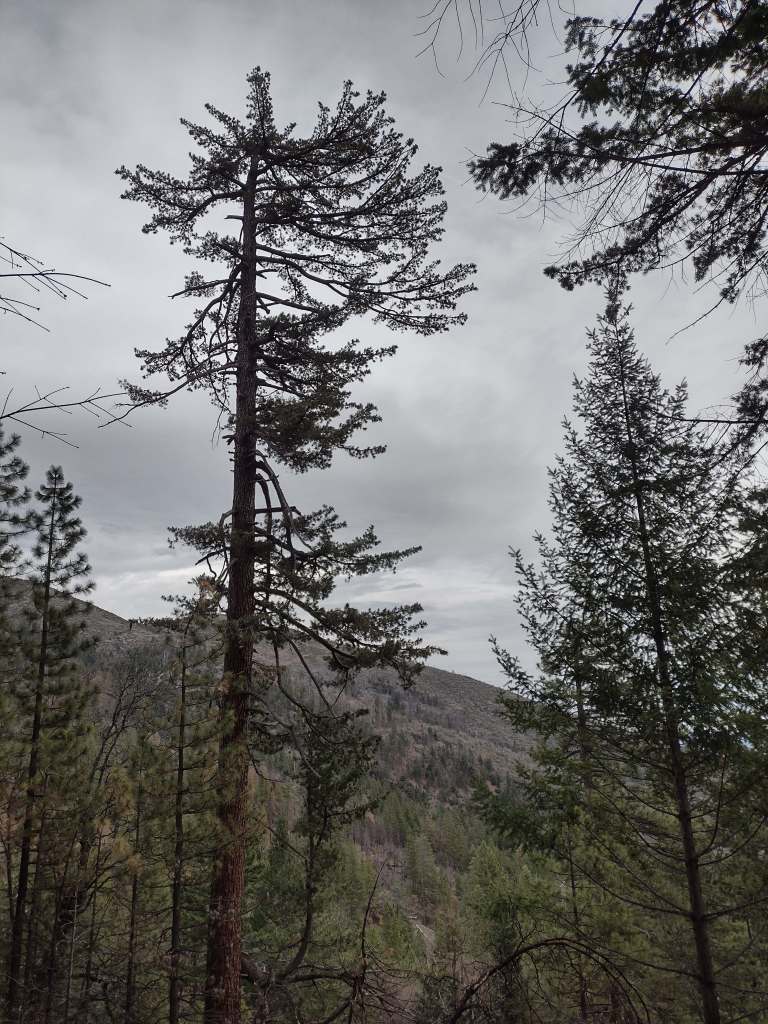
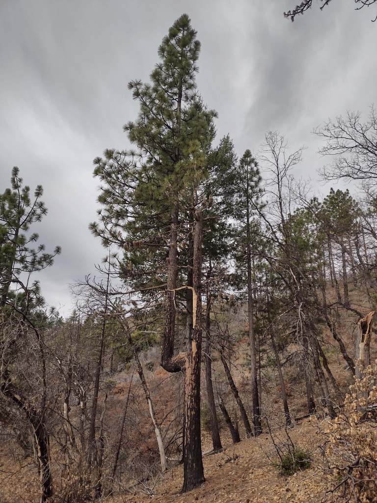
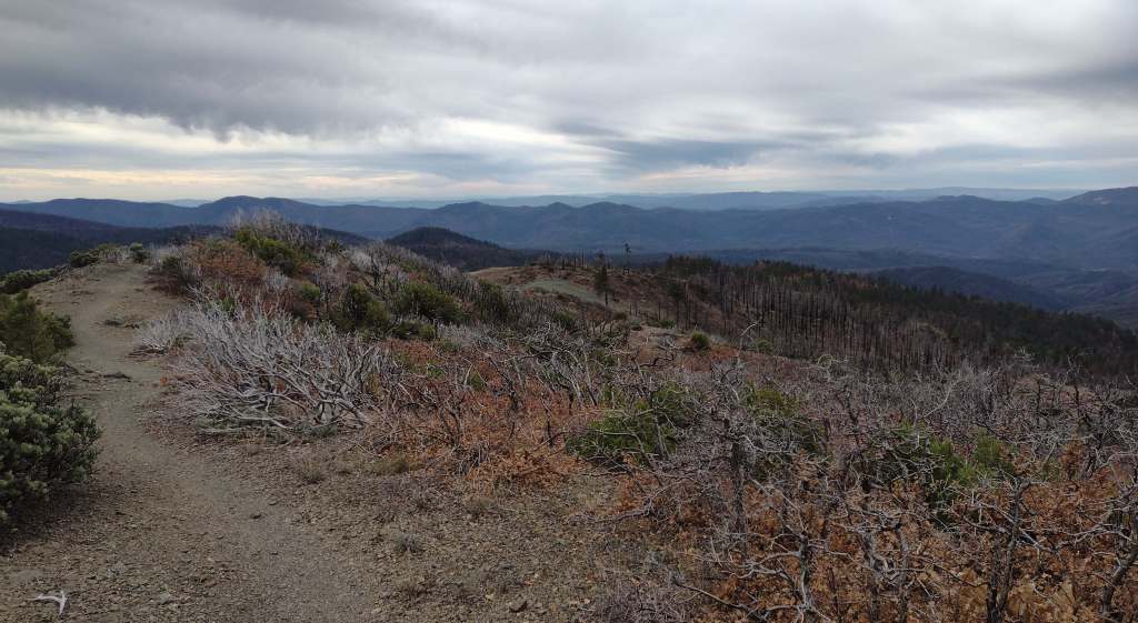
As we drove the winding road from Stonyford to the tiny roadside pullout for Deafy Glade Trail, we passed campgrounds full of RVs that were getting ready for a motorcycle event. Our hike took us far from any road noise, as we dropped down to and waded across the frigid South Fork of Stony Creek and then climbed steeply to 5,300 feet in elevation. The trail continued to the summit of 7,056-foot Snow Mountain, but we already had great views of the Rice Valley and decided to turn around at the 4.5-mile point, just inside the official boundary of the Snow Mountain Wilderness. We expected a desolate landscape after reading about recent fires, but about three-quarters of the trees along the trail were still alive and showed only minor charring at their bases.
Watchable Wildlife
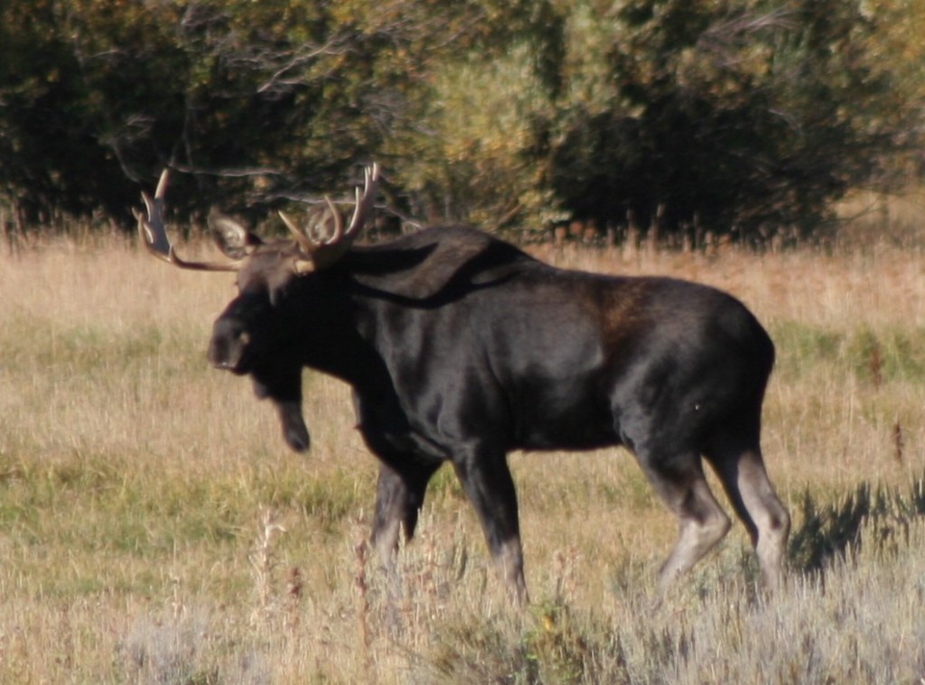
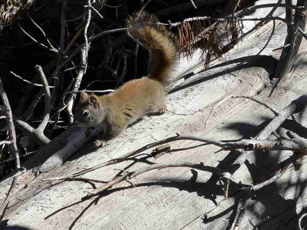
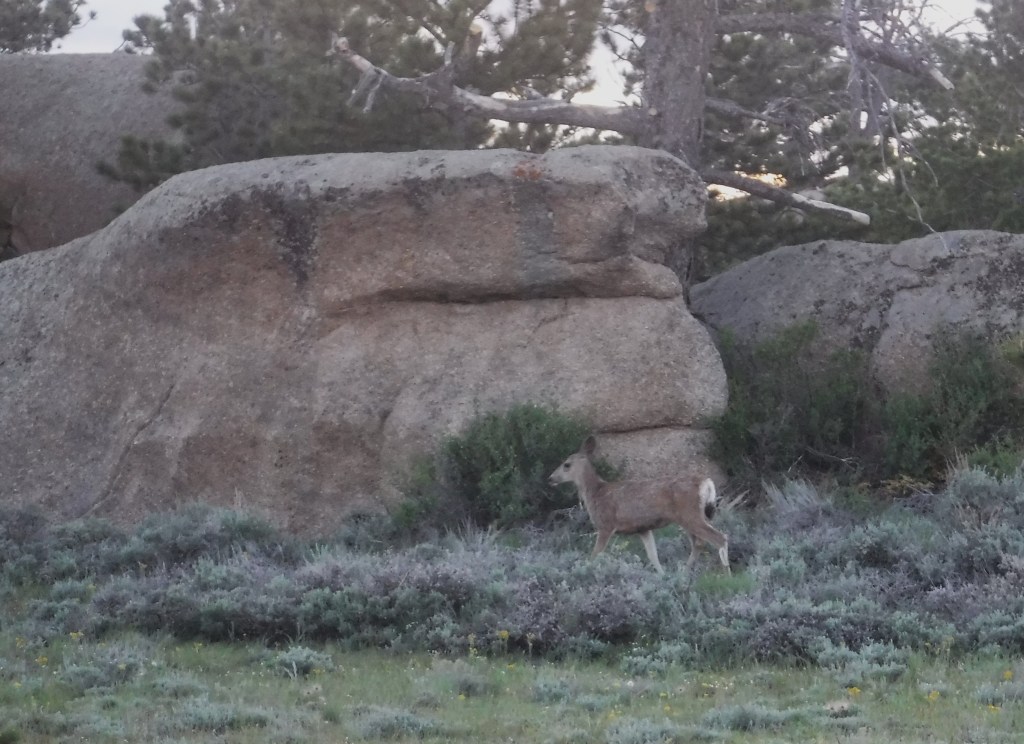
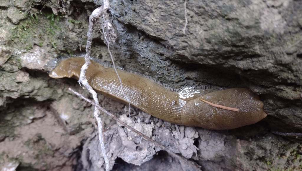
Mendocino National Forest protects a biodiverse area home to tule elk, black-tailed deer, river otters, black bears, and mountain lions. Rivers that drain these highlands are used by California coastal chinook salmon and Northern California steelhead. Fishing in the lakes is a popular activity and a chance to see ospreys and bald eagles.
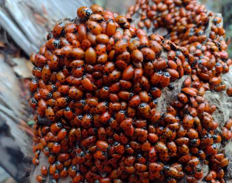
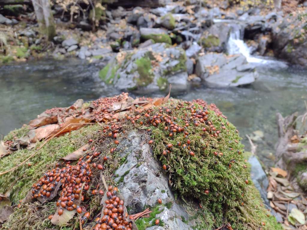
Photographic Opportunity
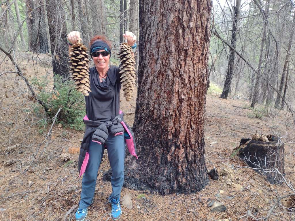
On Deafy Glade Trail, there were congregations of lady bugs that numbered in the hundreds along the South Fork of Stony Creek.
Peak Season
Summer
Fees
None
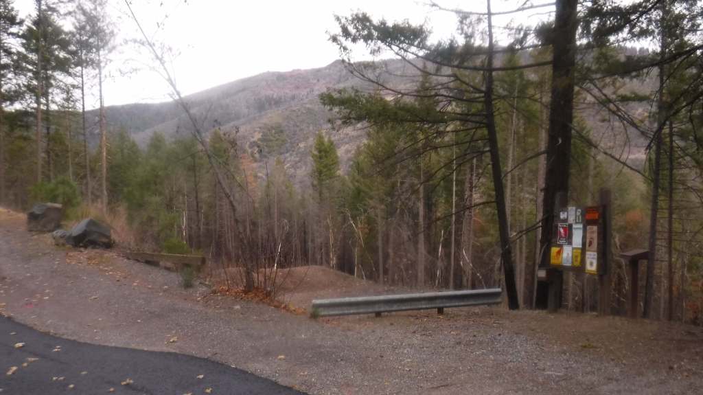
Road Conditions
Fouts Springs Road (Forest Road M10) is a well-maintained gravel road that crosses the National Forest west of Stonyford. That area is popular with motorcycles and OHVs, so keep an eye out for them while driving.
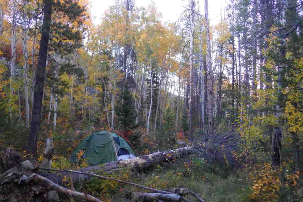
Camping
Mendocino National Forest manages Bear Creek Campground and Lower Nye Dispersed Campground among many others, plus there are countless places for dispersed camping.
Wilderness Areas
Sanhedrin Wilderness
Snow Mountain Wilderness
Yolla Bolly-Middle Eel Wilderness (also in Six Rivers and Trinity National Forests)
Yuki Wilderness (also run by the Bureau of Land Management)
Related Sites
Berryessa Snow Mountain National Monument (California)
Lassen National Forest (California)
Point Reyes National Seashore (California)
Nearest National Park
Redwood
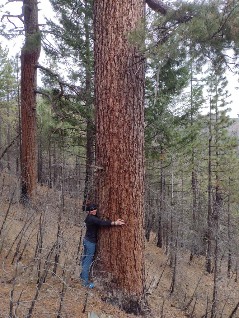

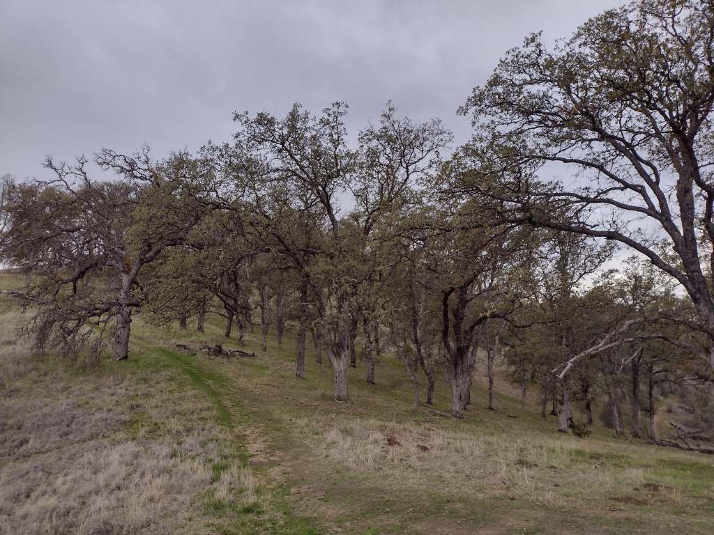
Douglas-fir, red fir, white fir, ponderosa pine, sugar pine, gray pine, Sargent cypress, McNab cypress
western redbud, interior live oak, tanoak, Pacific madrone
Explore More – In 1542, Cape Mendocino was named by explorer Roderiques de Cabrillo to honor whom?

Learn more about this and the 154 other National Forests in our travel guidebook Out in the Woods