Klamath National Forest
California, Oregon
Managed by U.S. Forest Service, Pacific Southwest Region
1,913,264 acres (1,737,774 federal/ 175,490 other)
Website: https://www.fs.usda.gov/klamath
Overview
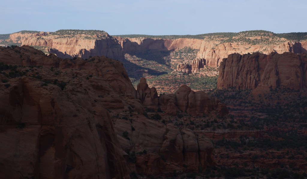
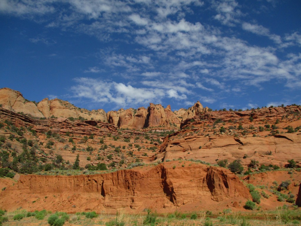
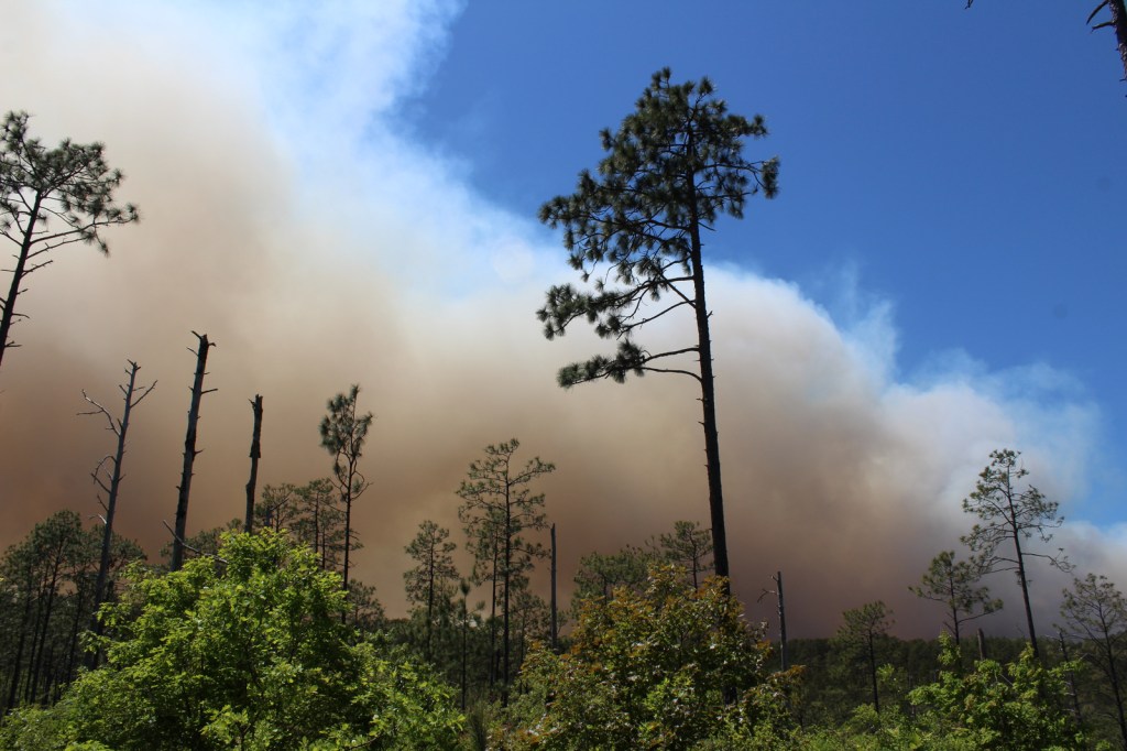
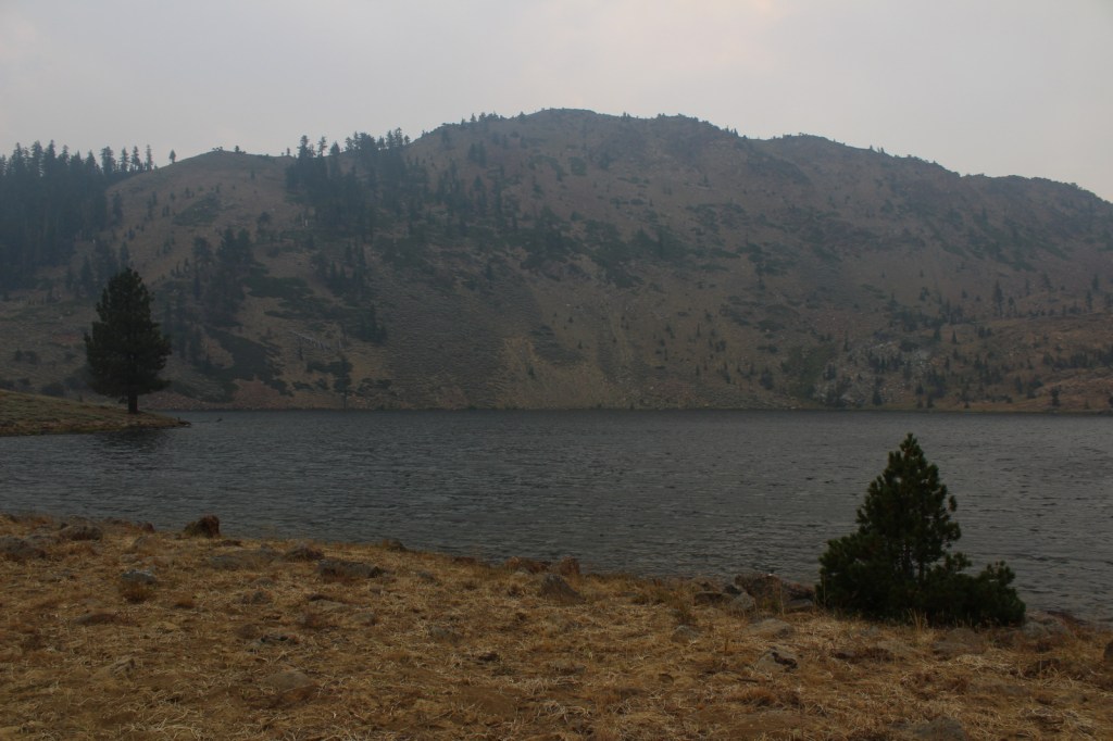
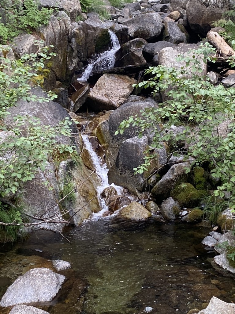
Split into two separate sections by Interstate 5, Klamath National Forest is spread across the Marble, Salmon, Scott, and Siskiyou Mountains of northern California, with less than 2% of its acreage across the border in Oregon. The National Forest headquarters is located in Yreka on Interstate 5, from where the Forest Service also manages the small Butte Valley National Grassland. In this remote portion of California, Klamath National Forest borders Modoc, Rogue River, Siskiyou, Six Rivers, Shasta, and Trinity National Forests. It contains 152 miles of designated National Wild and Scenic Rivers, including some popular for fishing and rafting, like the Klamath River.
Highlights
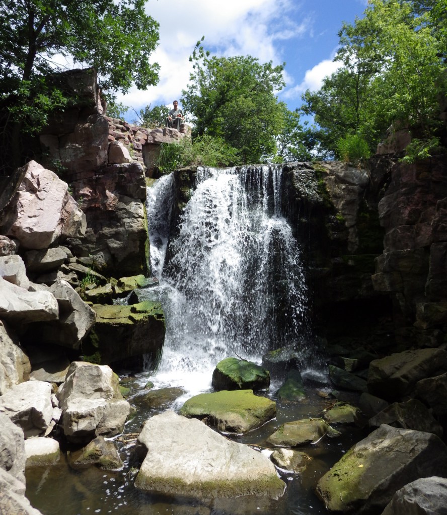
Horsetail Falls, Kangaroo Lake, Sawyers Bar Catholic Church, Sur Cree Falls, Crater Glass Flow, Panhandle Lake, Chimney Rock, Diamond Lake, Juanita Lake, Cedar Mountain, Kelly Lake, East Boulder Trail, Taylor Lake Trail, Clear Creek National Recreation Trail, Pacific Crest National Scenic Trail
Must-Do Activity
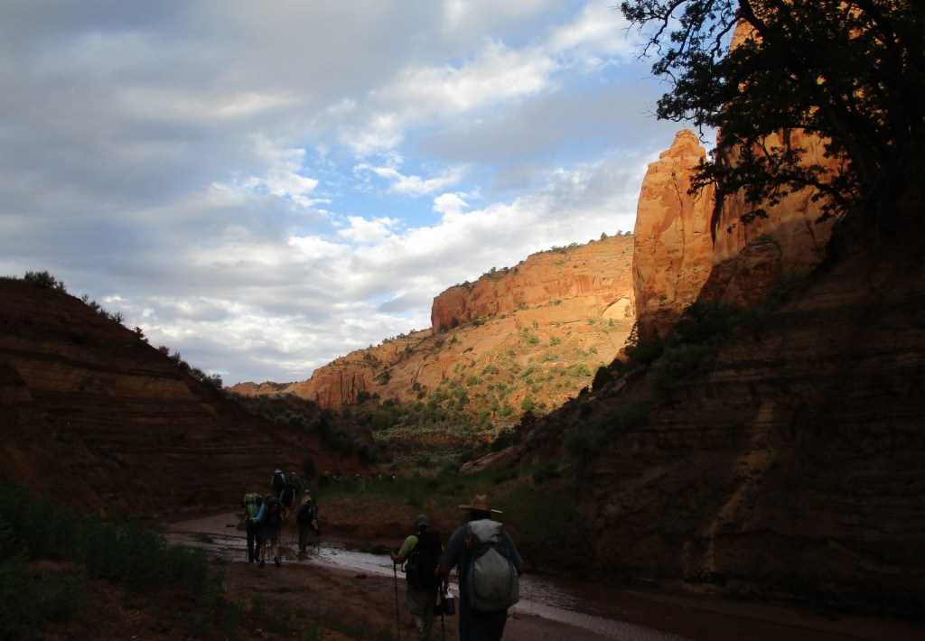
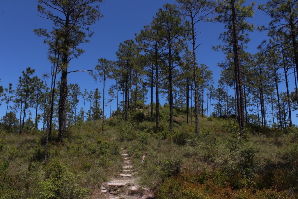
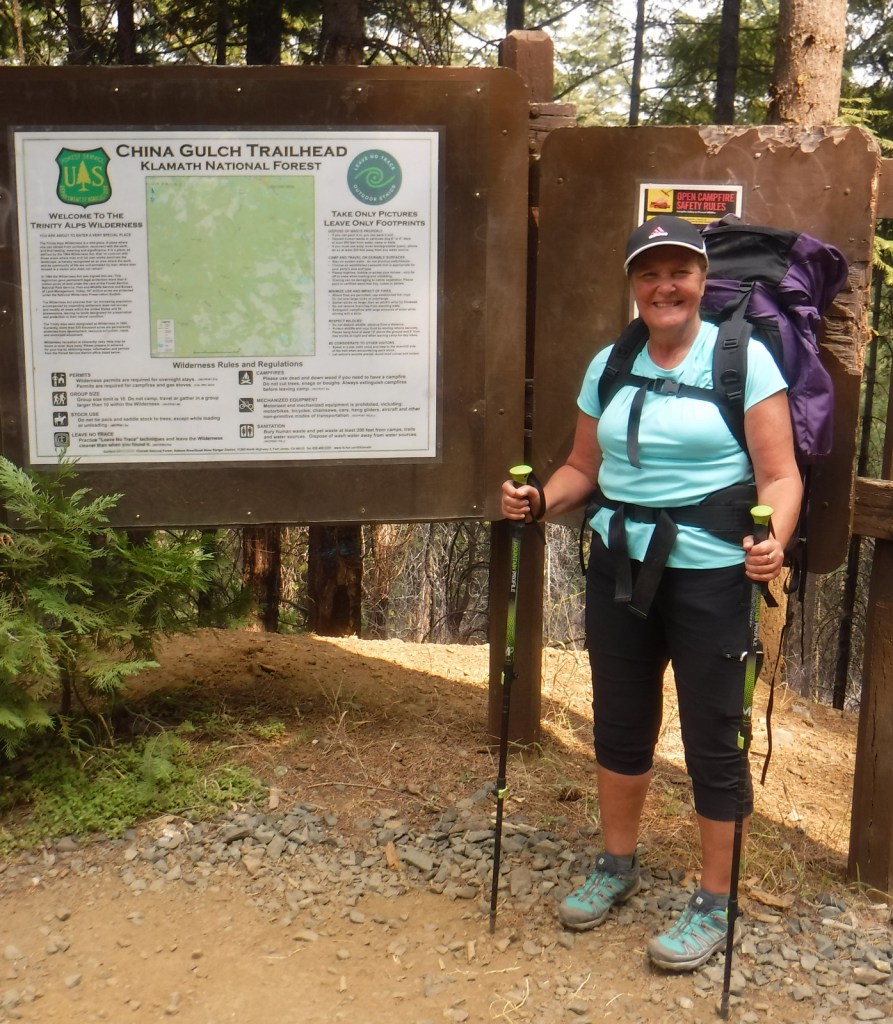
The mountainous western portion of Klamath National is home to several designated Wilderness areas that offer excellent hiking and backpacking (as well as a long stretch of the Pacific Crest National Scenic Trail). In the Siskiyou Wilderness, a quarter-mile hike leads to Kelly Lake with picnic tables at both ends and an option to continue hiking three miles to a beautiful meadow near Poker Flat. From the Shackleford Creek Trailhead, a trail follows the creek into the Marble Mountain Wilderness to Log Lake (three miles) and Campbell Lake (4.3 miles). Russian Lake in the Russian Wilderness is heavily visited, although it is a difficult 4.5-mile hike from the Deacon Lee Trailhead. Many trails enter the Trinity Alps Wilderness, such as East Boulder (see Best Hike) and Carter Meadows Summit, as well as Long Gulch and Trail Gulch (which together can be a turned into thru-hike with a two-car shuttle)
Best Trail
A popular destination for day hikers, East Boulder Lake is accessed by a 1.7-mile one-way trail that climbs 1,000 feet into the northern Trinity Alps Wilderness. Due to the number of user trails around the lake, it is difficult to navigate to the 7,100-foot pass, but continue southeast past Upper Boulder Lake and keep heading uphill to locate it. It is 1.2 miles past East Boulder Lake to the junction with the Pacific Crest National Scenic Trail that runs east-west following the summits of the Scott Mountains (in Shasta National Forest). It is possible to turn this into a loop hike by connecting with the Middle Boulder Trail and Boulder Tie Trail.
Watchable Wildlife
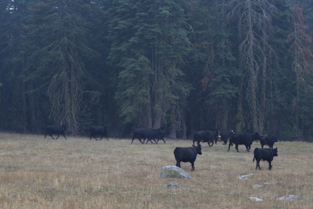
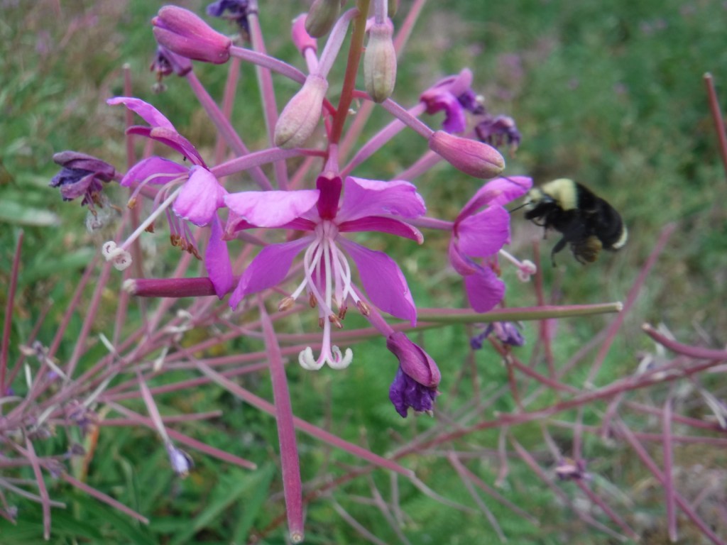
Elevations in Klamath National Forest range from 900 to nearly 9,000 feet supporting a variety of ecosystems, including 168,000 acres of old-growth forest. Large mammals found here include black bears, mountain lions, bobcats, coyotes, foxes, pine martens, skunks, raccoons, mule deer, and possibly gray wolves. Fishing for rainbow trout, steelhead, and salmon is a major draw to Klamath National Forest with its countless lakes and major rivers like the Klamath, Salmon, Scott, and Trinity.
Photographic Opportunity
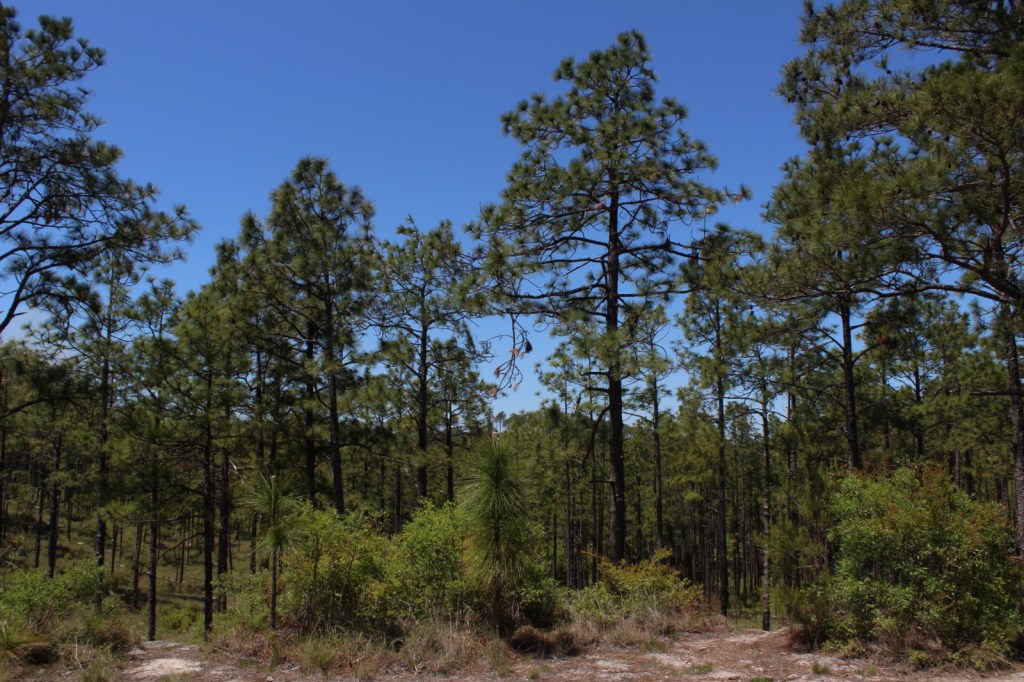
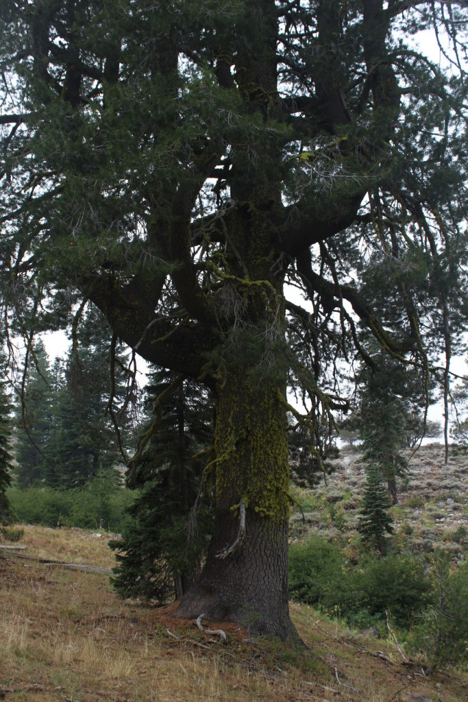
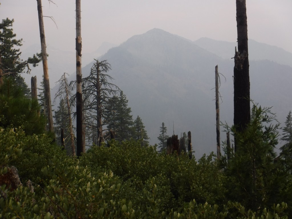
The abundant rainfall that soaks the coastal mountains of California allows conifer trees to reach impressive diameters, like this ponderosa pine we found in the Trinity Alps Wilderness.

Peak Season
Summer
Fees
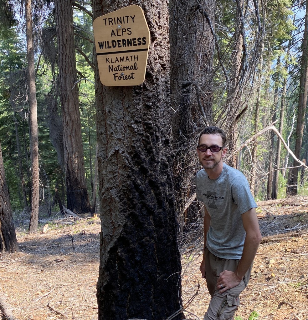
A free Wilderness Entry Permit is required for overnight trips in the popular Trinity Alps Wilderness where group size is limited to ten people.
Road Conditions
Twisty but paved State Route 96 traverses the western part of the National Forest providing access to the Klamath River, trailheads for the Wilderness areas, and campgrounds. East Boulder Trailhead is located 7.8 miles from the town of Callahan, which is in a remote part of California north of Clair Engle Lake. A high-clearance vehicle may help, but is not required for the unpaved final part of the drive. In the remote eastern portion of the National Forest, a scenic back road travels six miles from Laird’s Camp over Gold Digger Pass near Lava Beds National Monument.
Camping
There are several campgrounds located along paved State Route 96, including Tree of Heaven, Totten, Rocky Bar, and Sulphur Springs (where Elk Creek Trail is a shady two-mile hike to a picnic area by the creek). In the National Forest’s eastern portion, Juanita Lake Campground has a 1.5 mile paved, barrier-free trail that circles the lake.
Wilderness Areas
Marble Mountain Wilderness
Red Buttes Wilderness
Russian Wilderness
Siskiyou Wilderness (also in Six Rivers National Forest)
Trinity Alps Wilderness (also in Shasta, Six Rivers, and Trinity National Forests)
Related Sites
Butte Valley National Grassland (California)
Lava Beds National Monument (California)
Oregon Caves National Monument and Preserve (Oregon)
Nearest National Park
Redwood


ponderosa pine, Jeffrey pine, whitebark pine, foxtail pine, Douglas-fir, incense-cedar, western juniper, red fir, white fir, silver fir
Pacific madrone, California-laurel, elderberry, curlleaf mountain mahogany, sagebrush
Explore More – How many species of conifers (or Gymnosperms) have been recorded in the Russian Wilderness, possibly the most biodiverse spot for these plants in California, if not the world?

Learn more about this and the 154 other National Forests in our new guidebook Out in the Woods
We are a participant in the Amazon Services LLC Associates Program, an affiliate advertising program designed to provide a means for us to earn fees by linking to Amazon.com and affiliated sites.