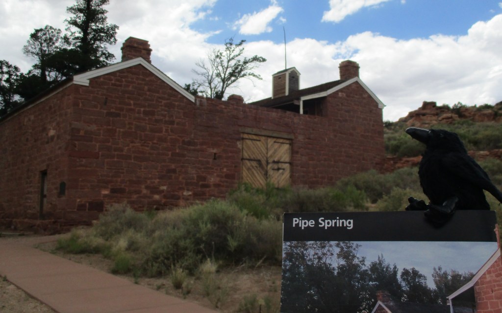
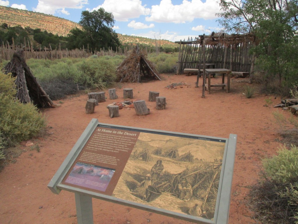
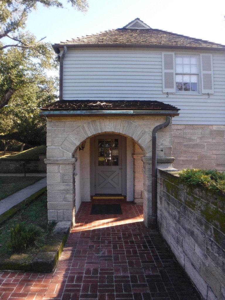
Near the Utah border, Pipe Spring National Monument is located near the turn off from Highway 389 for Grand Canyon-Parashant National Monument and the remote Toroweap Overlook in western Grand Canyon National Park. Likewise, it is only 60 miles from Utah’s famous Zion National Park, so it makes a good stopping point if you are also visiting Kaibab National Forest or the North Rim of the Grand Canyon. The oasis surrounding the three natural springs here demonstrate what this soil can produce when given a little bit of extra water. Ancestral Puebloans and Kaibab Paiute Indians have been coming here for over 1,000 years and it was an important stop on the Old Spanish Trail. In 1858, Pipe Spring was named by Mormon/Latter-day Saint missionary Jacob Hamblin on his way to the Hopi mesas. Following the 1866 Black Hawk War, Mormon settlers built a sandstone fort called Winsor Castle around the source of the main spring where polygamists used to hide their plural wives before selling the ranch in 1895. Today this park on the secluded Arizona Strip is recognized by the International Dark Sky Association.
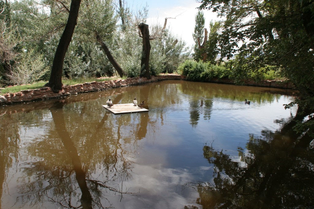
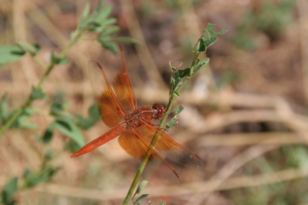
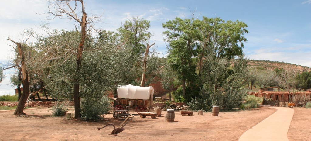
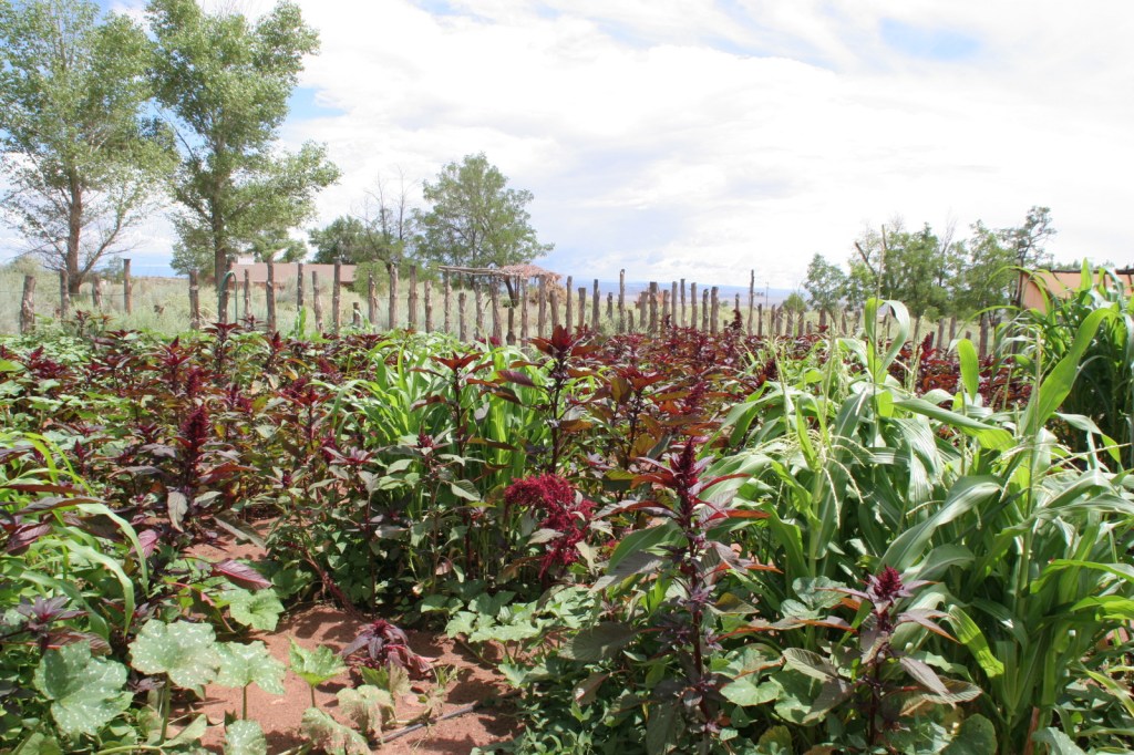
Retention ponds keep Pipe Spring National Monument green in the hot summer months where ducks paddle and dragonflies buzz through the humid air. The National Park Service manages a garden with living history demonstrations given occasionally, plus there is livestock including chickens and two longhorns. When a ranger is present, you can walk around inside Winsor Castle, a Mormon fort that dates back to 1870. If you visit during the summer, we recommend you cool off after some time outside by watching the short film and exploring the museum and gift shop. The museum is co-managed with the Kaibab Band of Paiute Indians whose reservation surrounds the site. On December 7, 2024, the park was open late for the Holiday Traditions event with caroling, Victorian-era crafts, and free food.
Best Trail
The half-mile Ridge Trail leads uphill to an overlook of the Kaibab Plateau and distant Mt. Trumbull in Grand Canyon-Parashant National Monument.
Photographic Opportunity
The modest dimensions of Winsor Castle make it unlikely to be confused with Windsor Castle in England.
There is a paved parking lot located off Highway 389.
Camping
The Kaibab Band of Paiute Indians runs a small campground adjoining Pipe Spring National Monument. Dispersed camping is allowed in Kaibab National Forest and the millions of acres run by the Bureau of Land Management on the Arizona Strip.
Best time of year: Year-round in the tropics or whenever you can see volcanic activity
We recently published our guidebook 50 States of Great: Road Trip Guide to America, so we decided to start a new type of blog post where we create a travel itinerary for all 50 states, in addition to our usual National Forest and National Park entries. After starting with Kansas, Georgia, Idaho, Rhode Island, and Minnesota, we decided to do the newest state and the only one in the tropics. We have spent eight weeks visiting five Hawaiian Islands over four trips, mostly camping in a tent. Hawai‘i is the largest state when you include territorial waters and there is a lot to explore, so we made an ambitious 16-day plan starting on the Big Island of Hawai‘i, with plenty of options to extend the trip (especially if you island hop on airplanes).
Your only chance to see lava flowing in Hawai‘i is here, an easy drive south from the airport in Hilo. 2023 eruptions of Mauna Loa and Kilauea attracted tourists and volcanologists from around the globe. During the day you can typically view smoking Halema‘uma‘u Crater (a lake of magma at 2,400°F), but it is more spectacular after dark. Bring warm clothes as eruptions create windy, rainy conditions with high temperatures in the 50°s. Numerous hiking trails and backpacking opportunities mean you can easily spend several days exploring this National Park, which also has camping options.
Amid lush greenery, hollow casts of trees were preserved by black lava rock, some over ten-feet-tall with live saplings growing from their crevices. There are also lava tree casts in Hawai‘i Volcanoes National Park.
Punalu‘u Black Sand Beach
Sea turtles often come to rest onshore at this crunchy beach composed of jagged pieces of volcanic rock.
Southernmost Point in the U.S.A.
If you do not have a Jeep it is a little bit of a walk to this often windy beach that has a small marker noting its significance as the southernmost point of the 50 states.
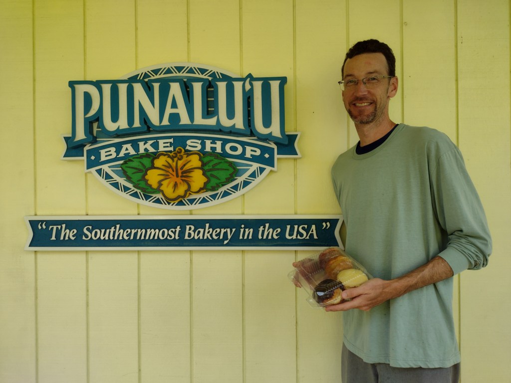
Everything we tried is tasty here at the Southernmost Bakery in the U.S.A., but we highly recommend the lilakoi malasadas (a traditional Portuguese pastry with a tropical fruit filling).
Home to a reconstructed village that provides a glimpse into the daily life of the indigenous people hundreds of years ago. It is also a good place to watch for breaching humpback whales in the winter months. Swimming is not allowed here, but it is adjacent to the popular…
“Two-Step” Snorkeling Area
This easy-to-access coral reef has limited parking and is very popular, so plan to arrive early or walk over from the parking lot at Pu‘uhonua o Honaunau National Historical Park.
Optional stop at Kailua-Kona
If you need to do some shopping, this resort town is the place to do it. Many visitors to the Big Island never leave this touristy area full of restaurants and shops.
One of the best snorkeling spots on the Big Island can be reached by a steep hiking trail or by paddling across the bay in a rental kayak.
Keauhou Bay
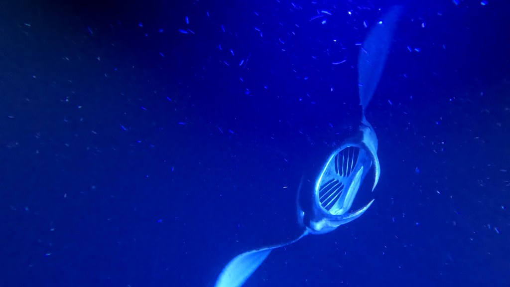
After dark, an amazing experience is to take a guided snorkel or scuba dive with the manta rays that feed in Keauhou Bay, often coming within inches of your face and hitting you with their six-foot wingspan.
It is a short walk to a shallow, protected area that attracts green sea turtles to this National Historical Park established in 1978, the same year the turtles were federally listed as a threatened species.
Start your visit to this sacred site at the visitor center and check out the metal artwork that tells the story of the demi-god Maui. Then walk the interpretive trail for views of several heiau, including the submerged Hale o Kapuni Heiau dedicated to the shark gods. You can also park across Highway 270 and walk to the site of John Young’s homestead.
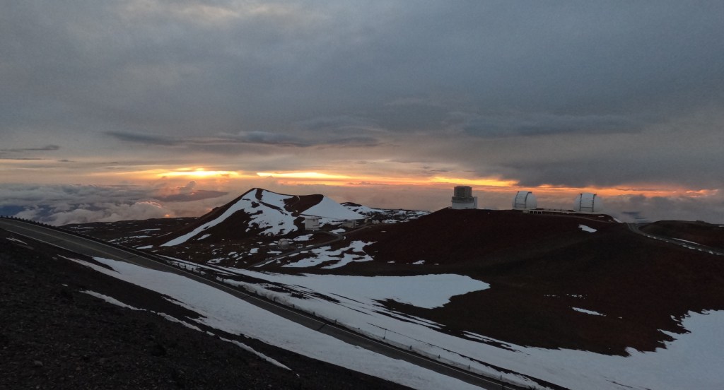
Mauna Kea
It is free to drive to the highest point in Hawai‘i, but you are only allowed up the steep, unpaved road during daylight hours and if you have a four-wheel-drive vehicle or come on a guided tour.
Pick up your own red-footed booby stuffie and “I love boobies” T-shirt at the gift shop for this bird rehabilitation center on the north shore of the Big Island.
Day 6 (Big Island)
Kaumana Caves
Parking is free, but bring along a flashlight if you want to explore these lava tubes west of Hilo.
This free museum in downtown Hilo is run by NOAA as the official visitor center for the remote western Hawaiian Islands where the agency manages Papahānaumokuākea Marine National Monument.
Rainbow Falls
Legend says the misty rainbow at the base of this waterfall is actually the tapa cloth of the goddess Hina, left behind when she hid in a cave behind the falls from the monster lizard Mo‘o before it was slain by her heroic son Maui. Later in her life, Hina escaped to the moon where you can still see her face today.
A short hike takes you to an overlook of a beautiful 442-foot-tall waterfall. You can avoid the State Park entry fee by parking along the road just outside the gate.
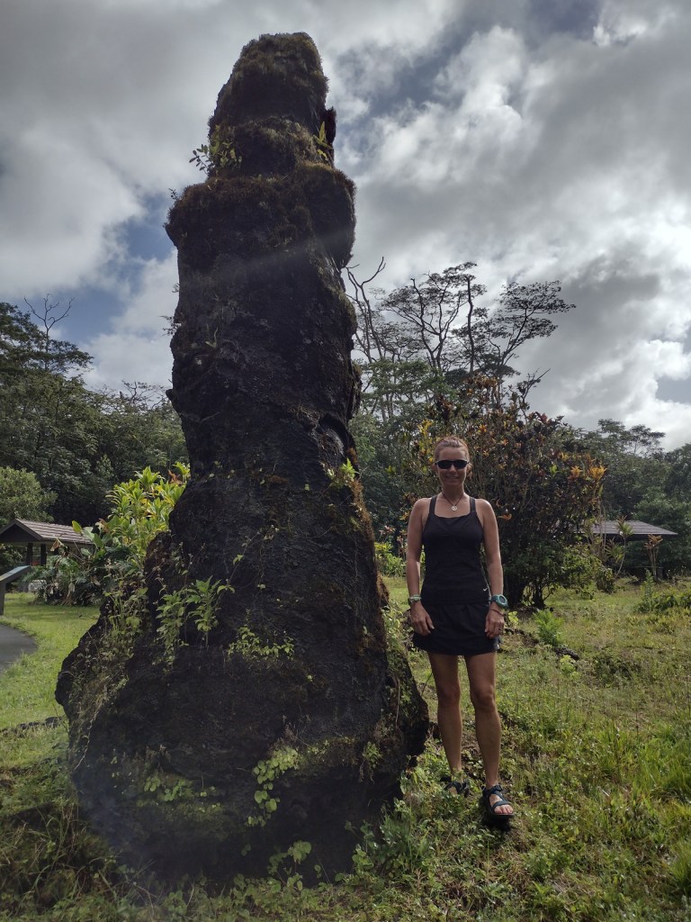
It will take most of the day to fly from the Big Island and settle into your place on Maui, but not far from the airport is this lush green area with an interesting volcanic rock formation.
Optional stop at La Perouse Bay
Swim offshore to watch dolphins diving or stay dry on a guided boat tour.
The thing to do at Haleakalā National Park is drive up the curvy entrance road in the pitch dark to catch a sunrise from 10,000 feet. It is like a party atmosphere in the chilly air waiting for the guest of honor, though we thought the sunsets were prettier and much less crowded. Several tours drive visitors to the summit for sunrise then provide bicycles to coast back down the switchbacks outside the park boundaries. It is worth spending the whole day to hike Sliding Sands Trail into the colorful crater and overnight in Hosmer Grove Campground.
Day 9 (Maui)
The Road to Hana
On the east side of Maui, the annual rainfall typically exceeds 400 inches making for a lush tropical rainforest along the curvy road to Hana. This route is well known for its one-lane bridges (we counted 53), several of which provide good spots to photograph one of the countless waterfalls seen along the way.
At the end of the paved road, swimming in the seven sacred freshwater pools of ‘Ohe‘o Gulch is a major attraction, though sometimes closed due to flooding. We hiked the two-mile Pipiwai Trail to the 400-foot cascades of Waimoku Falls in a steady downpour. You can also make reservations for the campground run by the National Park Service, but make sure you have a good rainfly for your tent.
Day 10 (Maui)
Honolua Bay Marine Preserve
The best snorkeling spot on Maui is located right along the highway.
Nakalele Blowhole
This lava tube that spouts water at certain tide levels is a short walk from the road.
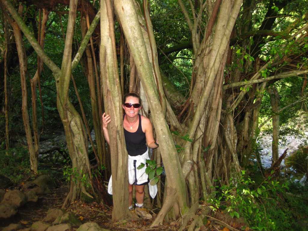
Optional stop at Lahaina
Still recovering from deadly wildfires in 2023, this tourist town is home to a huge banyan tree that survived burning. The entire western side of the island is a good place to watch for breaching humpback whales in the winter months.
After flying into Honolulu, immerse yourself in history and culture at this museum founded in 1889. The natural science wing has a three-story simulated volcano, which is a hit with kids.
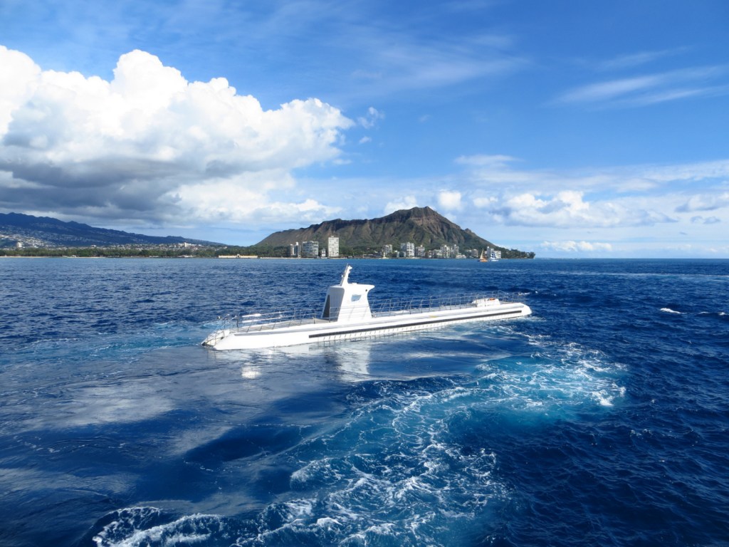
If you have never been underwater in a submarine, consider paying to dive 100 feet deep to see shipwrecks and fish off the coast of famous Waikiki Beach.
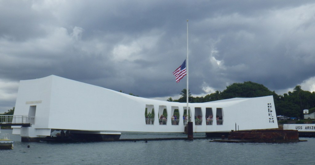
Take a ferry to the U.S.S. Arizona Memorial (reservations available through an online ticketing system). The 184-foot-long memorial structure was dedicated in 1962, built on top of the battleship where many are still entombed and the names of 1,102 sailors and Marines that died on board can be found in the chapel on one end. Tickets can also be purchased to tour the nearby U.S.S. Bowfin submarine and U.S.S. Missouri battleship, where Japanese military officers signed surrender documents officially ending World War II on September 2, 1945.
Timed entry tickets are required at this popular snorkeling spot near Honolulu and often sell out in minutes. On the North Shore of Oahu, Sharks Cove is a free spot where most visitors wade in the shallow water, but you can see the fish much better while snorkeling.
Timed entry tickets are also required for this internationally-recognizable landmark standing 760 feet above bustling Waikiki Beach. The volcanic crater has a busy paved trail with stairs through a narrow, lit tunnel to a lookout with World War II-era fortifications.
Optional stop at Koko Head
If you cannot get a reservation for Diamond Head, opt instead for climbing the more than 1,000 railroad ties that form an uneven stairway to the top of this peak overlooking Hanauma Bay.
This scale-model of a structure in Japan is set against the steep Ko‘olau Range on the wet, windward side of Oahu. It is incredibly photogenic and admission prices are reasonable.
Managed by the University of Hawai‘i, make a free online reservation to enjoy a self-guided tour through the greenery and then pay to park next door for a short hike to beautiful Manoa Falls.
Famous for the Dole Whip (pineapple soft serve ice cream), it is also worth the price to explore the world’s largest garden maze and take a 20-minute train tour aboard the Aloha Express.
You may see an endangered Hawaiian monk seal on the hike to this undeveloped westernmost point on Oahu where Laysan albatrosses and other birds nest in the winter.
Tickets are not cheap, but include interactive experiences you cannot get elsewhere. Run by the Mormon/LDS church and staffed by BYU-Hawaii students, it is known for its luau and Ha: Breath of Life evening show with impressive dancing and fireknife twirling.
Try the world-famous shave ice at this iconic spot on the North Shore, before or after watching surfers take on the waves. Further south on Oahu, a few other popular spots for shave ice include Island Snow, Kokonuts, Waiola, and Uncle Clay’s House of Pure Aloha.
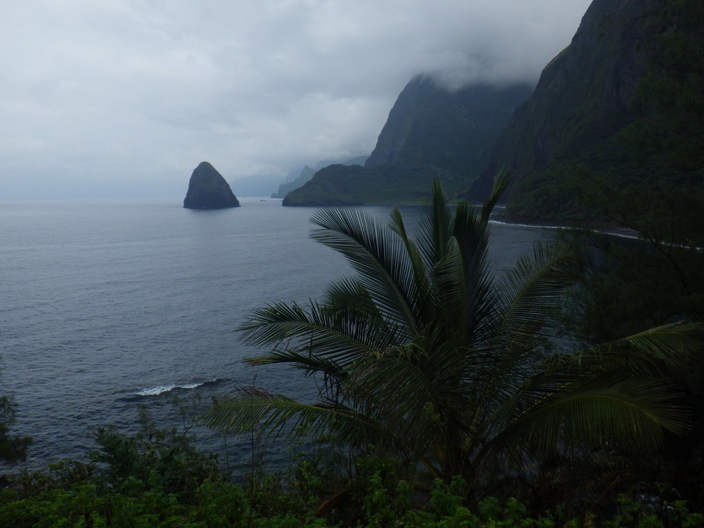
On the island of Molokai, this isolated peninsula was selected by King Kamehameha V in 1865 as a quarantine area for those suffering from Hansen’s disease (also known as leprosy). There are still no roads to the settlement, so you will have to get the necessary permits through Father Damien Tours to fly, hike, or ride mules into the restricted-access park (nobody under age 16 is allowed). We recommend hiking down the 1,600-foot-high cliffs or riding a mule on the same trail to the bottom for the four-hour bus tour, then flying out.
On the west side of Kauai, the only access to the idyllic Kalalau Valley is via an 11-mile one-way treacherous trail along the stunningly beautiful Napali Coast. Permits are limited to 60 people per night and sell out months in advance. Two nights is the minimum amount of time we would recommend staying in this paradise, and we also suggest the side trail to 300-foot Hanakapi‘ai Falls.
Salt Pond has a beautiful sandy beach protected by a reef inhabited by many varieties of fish (including the humahumanukanukaapua’a). County Park camping permits must be purchased at an office in Lihue prior to your stay, but they cost a reasonable $3 per person per night. Unfortunately, feral chickens provide a wakeup call every morning before sunrise (and sometimes around midnight just for fun). Camping is also permitted at Anini Beach County Park, one of the best spots on Kauai to see sea turtles.
A paved road accesses the colorful “Grand Canyon of Hawai‘i” that is 3,600 feet deep with many hiking trails, including one to the top of 800-foot Waipo‘o Falls.
Alkalai Swamp is the wettest spot on the planet (averaging 452 inches of rain per year). All of that precipitation takes time to drain, so it naturally creates a swamp with plant and animal species unique to the island. There is boardwalk within the swamp, but to access that we hiked miles of muddy, slick trails in December.
After a failed American settlement by persecuted French Protestants (Huguenots) in 1562, two years later a group of 200 soldiers, artisans, and a few women established a colony at the mouth of the St. Johns River (east of present-day Jacksonville, Florida). Led by René de Goulaine de Laudonnière, they hurriedly assembled the triangular Fort Caroline, named for King Charles IX. In 1565, Jean Ribault arrived with 600 more settlers and soldiers. After learning the Catholic Spanish had established a base to the south at St. Augustine, Ribault set sail for a surprise attack, only to be shipwrecked by a hurricane. The unprotected Fort Caroline was easily captured by the Spanish, who executed 140 of its 200 inhabitants. The Spanish then killed nearly 250 French marooned at Matanzas Inlet, which gained its name from these “slaughters.” Following a British siege in 1740, the Spanish began construction of Fort Matanzas on Rattlesnake Island to guard the southern entrance to the city of St. Augustine where they had built Castillo de San Marcos. Only two years later, Fort Matanzas’ cannons successfully repelled British ships and today you can take a free ferry to tour inside the restored 50-foot-square structure.
Museum, film, boat ride, Fort Matanzas, Nature Trail
Must-Do Activity
We have tried three times to visit the fort here, but in 2016, 2019, and 2024 the dock was damaged by a hurricane so the National Park Service (NPS) ferry was not running to Rattlesnake Island. Good news is there is an eight-minute film and you can see the small fort from the visitor center. There are also hiking trails, boardwalks, and sandy beaches to explore at the southern tip of Anastasia Island, which are accessible by car. Only 40 miles to the north, the NPS administers Fort Caroline National Memorial as a unit of Timucuan Ecological and Historic Preserve, where you can enter a one-third scale reconstruction of the triangular structure (and no ferries are involved).
Best Trail
The half-mile Coastal Hammock Trail has signs introducing some of the tree and shrub species found in the maritime forest.
Photographic Opportunity
Southern live oak trees stretch their twisted branches above the picnic area in the parking lot of the visitor center.
The visitor center, trails, and NPS ferry are free, but there is a parking fee for beach access on the Atlantic Ocean side across Highway A1A from the visitor center entrance road.
Road Conditions
The road to the parking lot is paved from Highway A1A.
Camping
The NPS does not run a campground, but Anastasia State Park does south of St. Augustine.
It is the holiday gift buying season again, so in addition to promoting our newest travel guidebook 50 States of Great: Road Trip Guide to America, we decided to rank our favorite non-fiction books about wildlife. We did not realize how many we had read until we started researching other lists on the subject, so the competition was stiff. We focused on wildlife, not domesticated wild animals, so we left off three popular books: H is for Hawk by Helen Macdonald, The Daily Coyote by Shreve Stockton, and Wesley the Owlby Stacey O’Brien. Click here to see all our Top 10 lists, including our Top 10 Gifts for National Park Lovers.
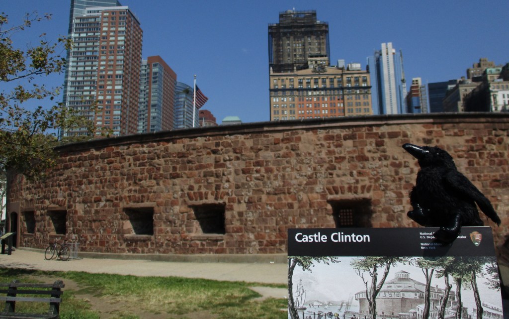
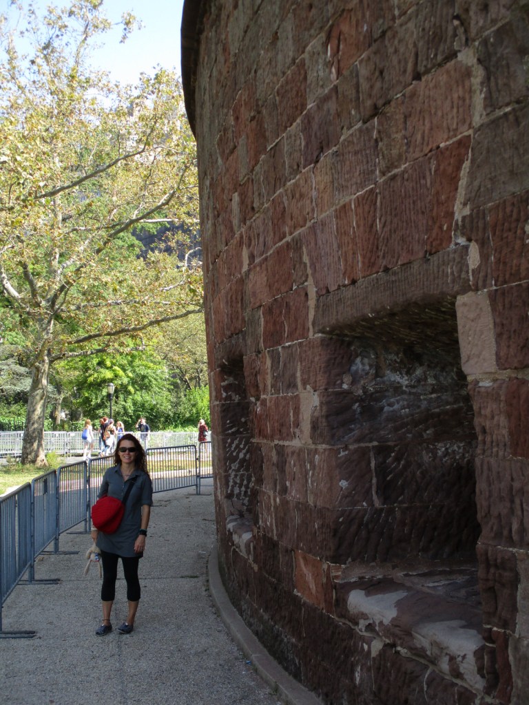
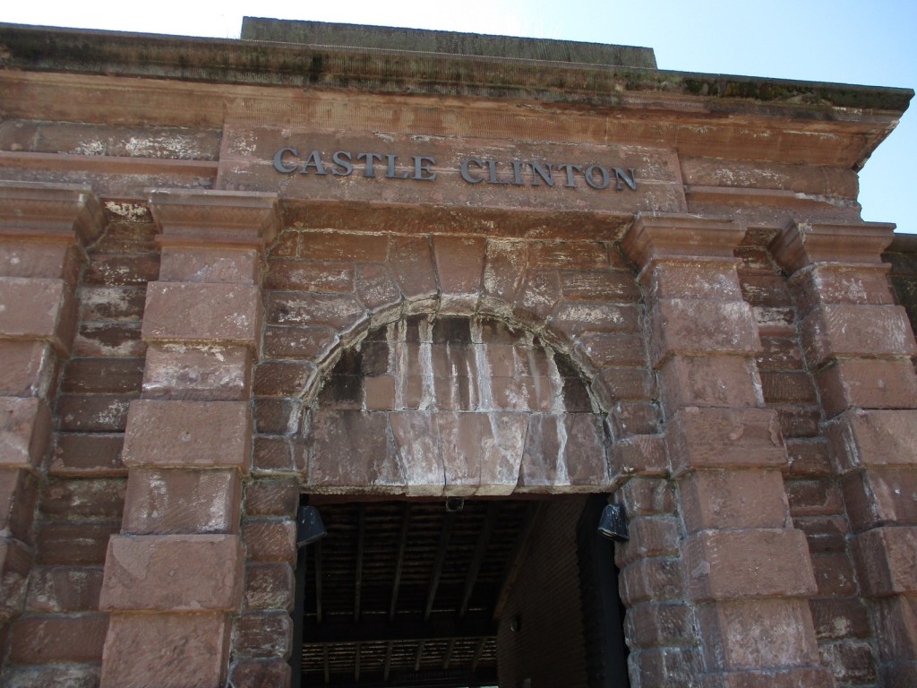
The U.S. military constructed South-west Battery off Manhattan Island’s southern tip by the beginning of the War of 1812, although it never fired a shot in battle. It was renamed Castle Clinton in 1817 to honor former mayor (and future governor) DeWitt Clinton, then once again to Castle Garden only seven years later. After a roof was added in the 1840s, it hosted concerts, including the American debut of Swedish opera diva Jenny Lind in 1850 (tickets cost $225 or equivalent to $8,240 in 2023). The island was joined to the mainland with landfill in the early 1850s, creating Battery Park. From 1855 to 1890, Castle Garden processed approximately eight-million immigrants before the establishment of Ellis Island offshore. Six years after the closing of the immigration station, Castle Garden was converted into the New York City Aquarium, which closed in 1941.
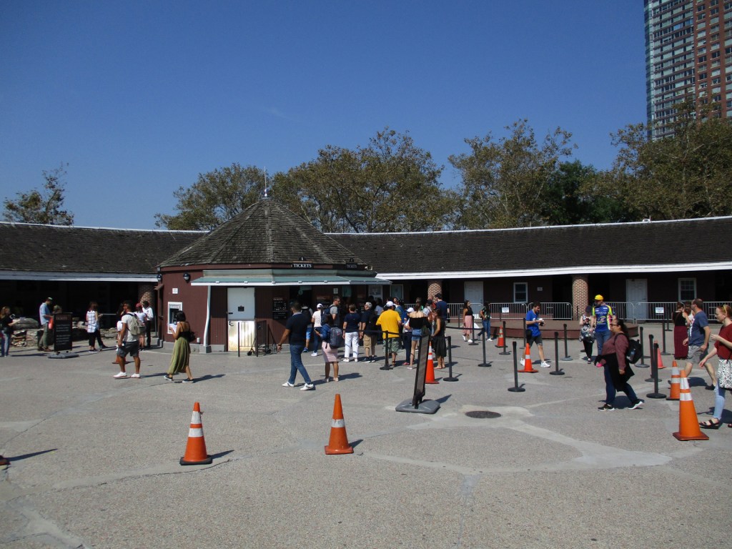
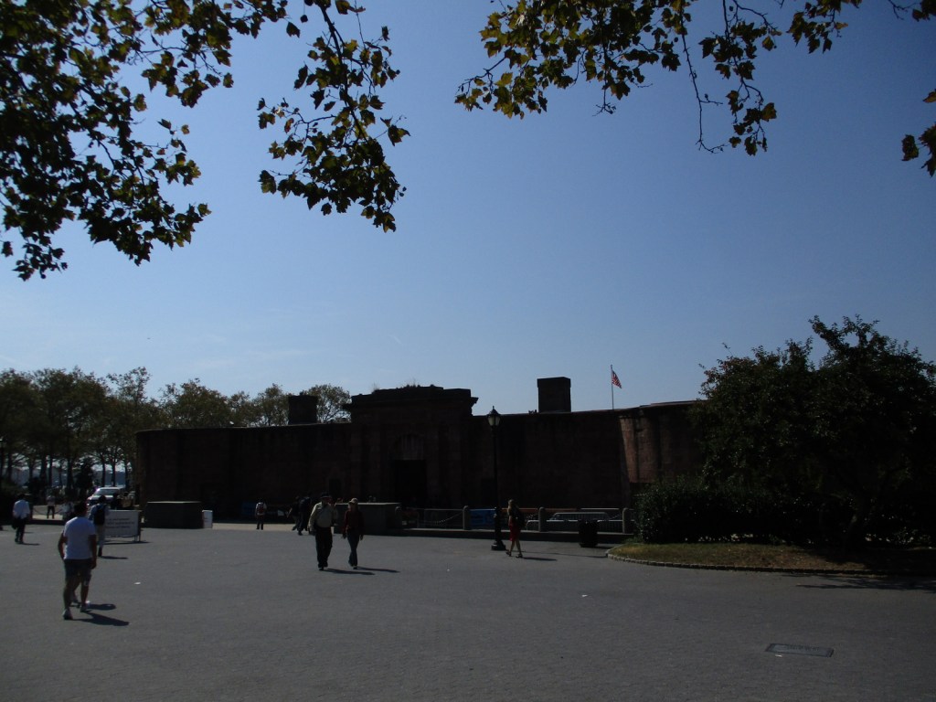
Much of Castle Garden was destroyed during a tunnel construction project in the 1940s, but Castle Clinton remained and was restored three decades later. Today it serves as a National Park Service visitor center, gift shop, and ticket office for ferry trips to Statue of Liberty National Monument. There are also exhibits along the perimeter of the D-shaped fort, including a display with cannon. Ranger-guided tours of the site are offered daily.
Best Trail
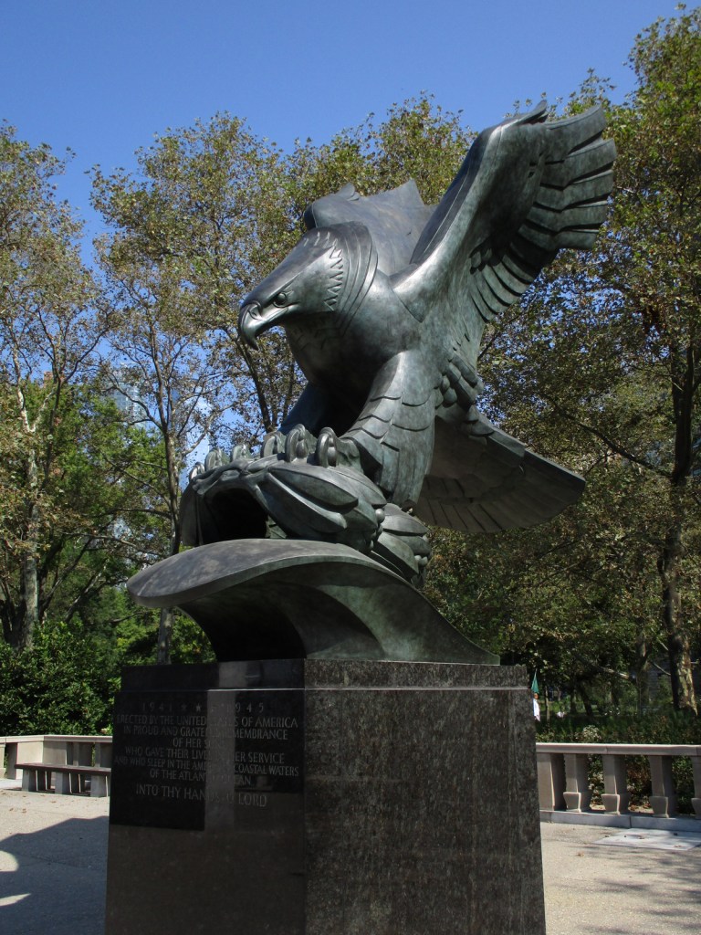
There are sidewalks and a seaside promenade in ——-24-acre Battery Park. Be sure to check out the bronze sculpture “The Immigrants” outside the fort.
Photographic Opportunity
There once were “28 guns” facing New York Harbor from within Castle Clinton, and one display cannon remains.
Explore More – Today, what percentage of Americans can trace their roots to one of the nearly eight-million immigrants processed at Castle Garden from 1855 to 1890?