Overview
There are currently three National Lakeshores in the National Park Service system, and Sleeping Bear Dunes National Lakeshore is one of two in Michigan. It encompasses 31 miles of mainland shoreline and 34 more miles on two large islands that give the park its name. The park receives over a million visitors annually and is known for its fishing and canoeing.

Highlights
Dune Climb, Pierce Stocking Scenic Drive, Glen Haven Village Historic District, 1871 South Manitou Island Lighthouse
Must-Do Activity
Much of this National Lakeshore is forested and surrounds several small townships (marked “Twp” on many maps). For a backcountry experience on the mainland, take the winding 7-mile Pierce Stocking Scenic Drive that becomes a cross-country ski trail in winter. Trails and overlooks provide stops along the route, which is not recommended for long vehicles or trailers.
Best Trail
Dune Climb is more than 100 feet tall and the best place to play in the sand. This is a perched dune where sand accumulated atop glacial moraines left from the last ice age. From the top there are great views and you can continue on several other trails.
Instagram-worthy Photo
Glen Haven Village Historic District maintains a former general store, blacksmithy, and cannery, which now contains a museum dedicated to small watercraft. The Sleeping Bear Point Coast Guard Station Maritime Museum is open Memorial Day to Labor Day.

Peak Season
Summer
Hours
https://www.nps.gov/slbe/planyourvisit/hours.htm
Fees
$25 per vehicle or America The Beautiful pass
Road Conditions
The main roads are paved, but some beach access is only by dirt road. Ferries in the summer leave from Leland, Michigan to either North or South Manitou Islands where there are no roads. Unless you are doing a day trip, camping permits are required before departure.
Camping
Platte River Campground is open year round and takes reservations. Backpackers can enjoy more than 100 miles of trails, including some on the two wilderness islands. Backcountry camping requires a permit.
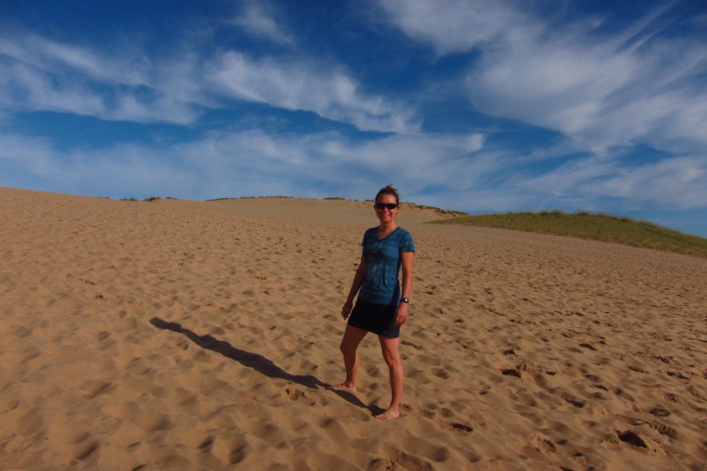
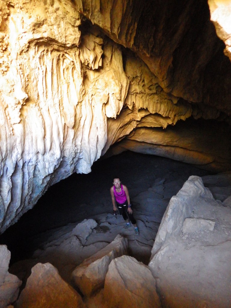
Tiff heading up Dune Climb 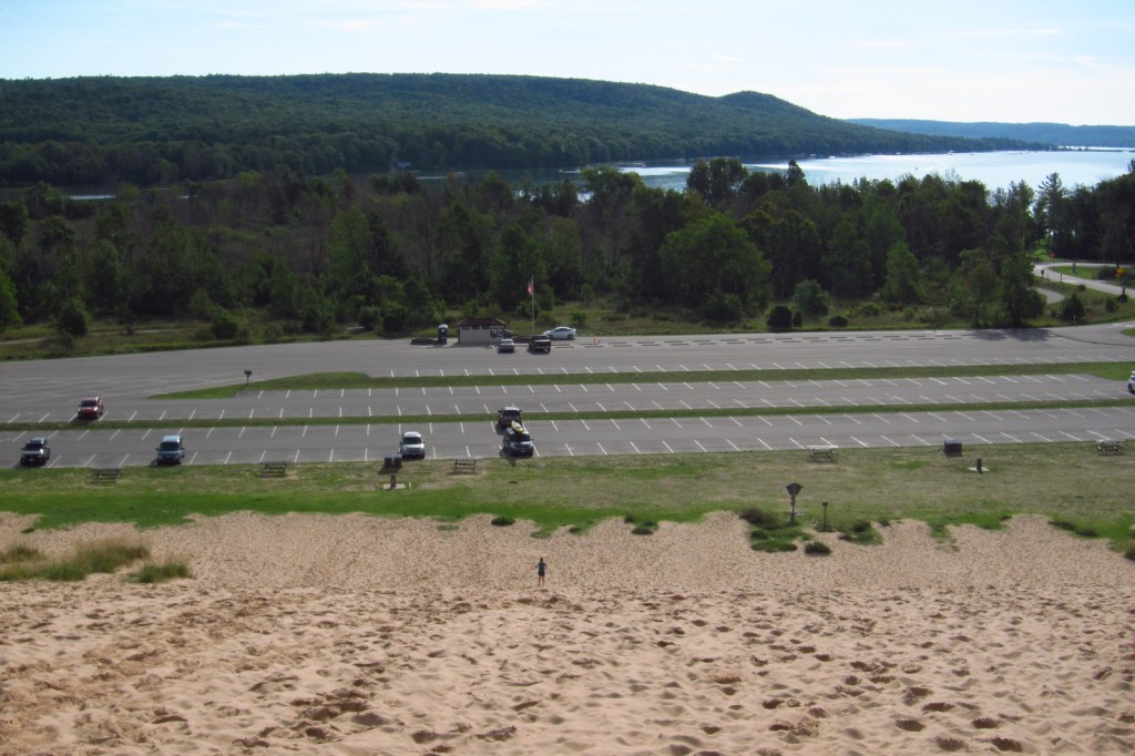

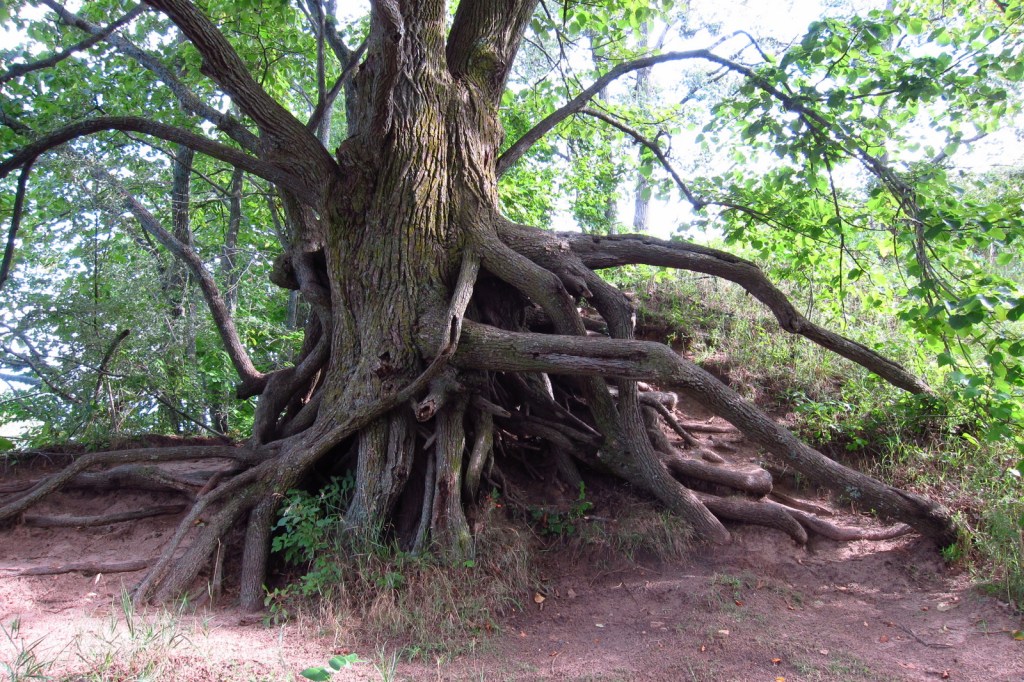
These dunes are mostly forested similar to Indiana Dunes National Lakeshore 
View of the islands in Lake Michigan 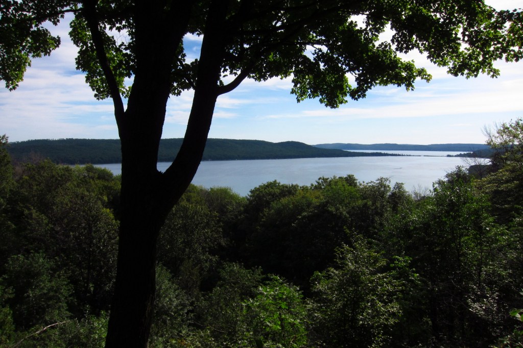

Tiff with a tug boat that was used on Lake Michigan
Explore More – What were they canning at the old cannery in Glen Haven Village Historic District?