Overview
The seventh-longest mapped cave in the world, Wind Cave was discovered in 1881 by Black Hills settlers who noticed a whistling sound coming from its narrow natural entrance. It was named a national park in 1903 and is famous for its boxwork calcite formations. The National Park has a herd of approximately 400 bison, in addition to pronghorns, prairie dogs, turkeys, coyotes, white-tailed deer, and elk.
Learn more in our guidebook A Park to Yourself: Finding Adventure in America’s National Parks (available on Amazon).

Highlights
Museum, cave tours, Rankin Ridge lookout tower, Highland Creek Trail, wildlife
Must-Do Activity
The interior of Wind Cave is a constant 53°F, so bring a jacket if you sign up for one of several tours. For first-timers we recommend the Natural Entrance Tour, which involves entering a vapor lock revolving door and stair steps, not squeezing through the actual tiny natural entrance. On the Candlelight Tour you carry lightweight metal candle-lanterns, just like 19th-century tourists. It is only offered in the summer and explores an unlit section of the cave, but no cameras are allowed due to the open flames.
Best Trail
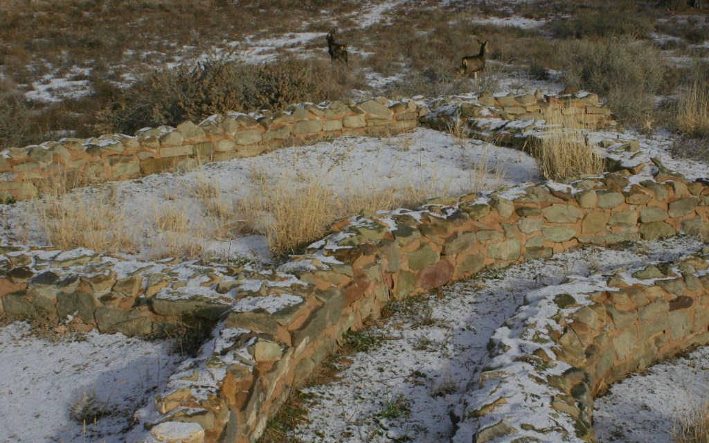
There are several good trails that traverse the prairie and canyons that can be connected in a variety of loops. We enjoy backpacking (free permit required) on Highland Creek Trail, where we always see bison.
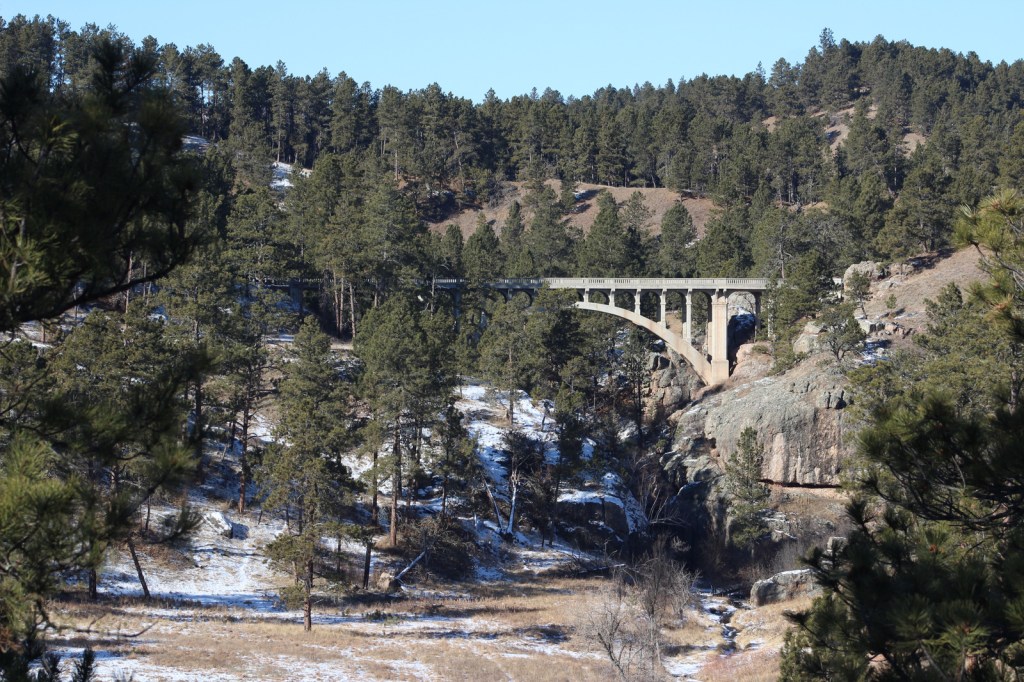
Instagram-worthy Photo
We have always loved the view of this bridge on Highway 87 over Beaver Creek. There is also a wooden trestle “Pigtail Bridge” further down the road.
Peak Season
Summer
Hours
https://www.nps.gov/wica/planyourvisit/hours.htm
Fees
None for entry, but $12 per person for each cave tour ($30 for Wild Cave)
Road Conditions
The main roads are paved, but bison are most commonly spotted along Road 5, a graded dirt road through the scenic eastern section of the park bordering Custer State Park (admission fee).
Camping
The NPS runs Elk Mountain Campground or you can backpack camp with a free permit from the visitor center. The surrounding Black Hills National Forest offers campgrounds and dispersed camping.
Related Sites
Jewel Cave National Monument (South Dakota)
Mount Rushmore National Memorial (South Dakota)
Badlands National Park (South Dakota)
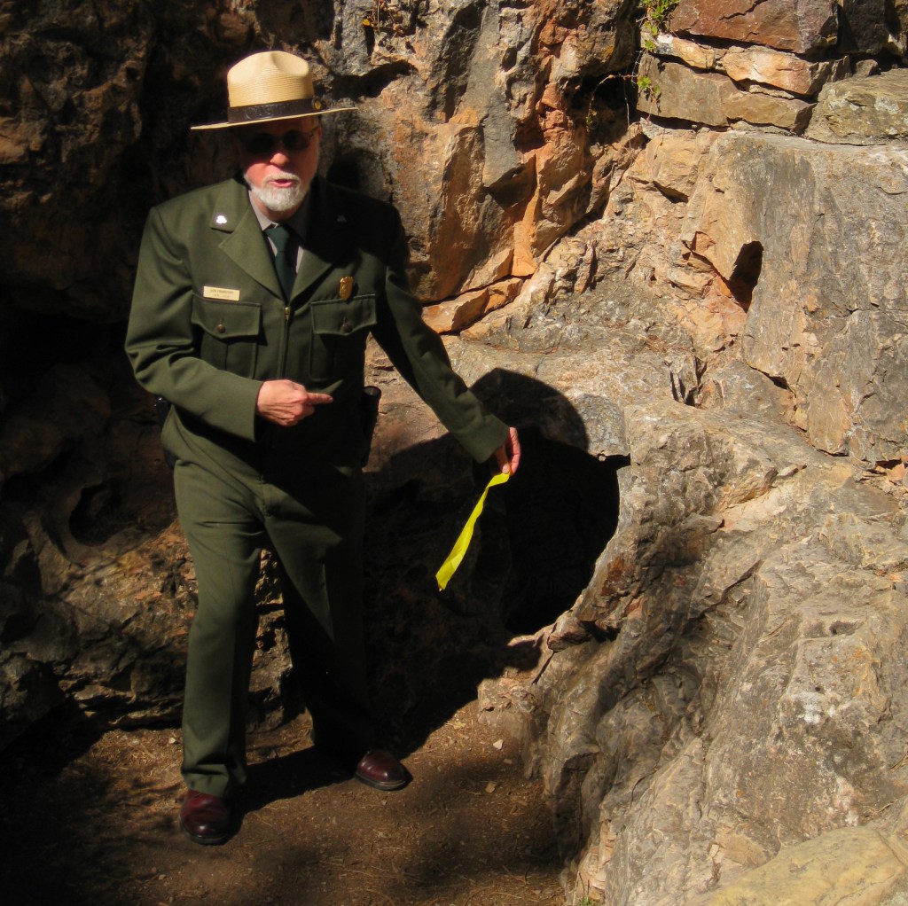
Ranger at the natural entrance showing it “breathing” 
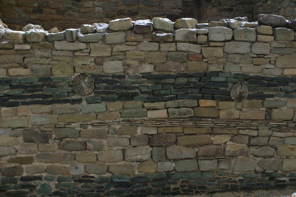
Boxwork calcite formations 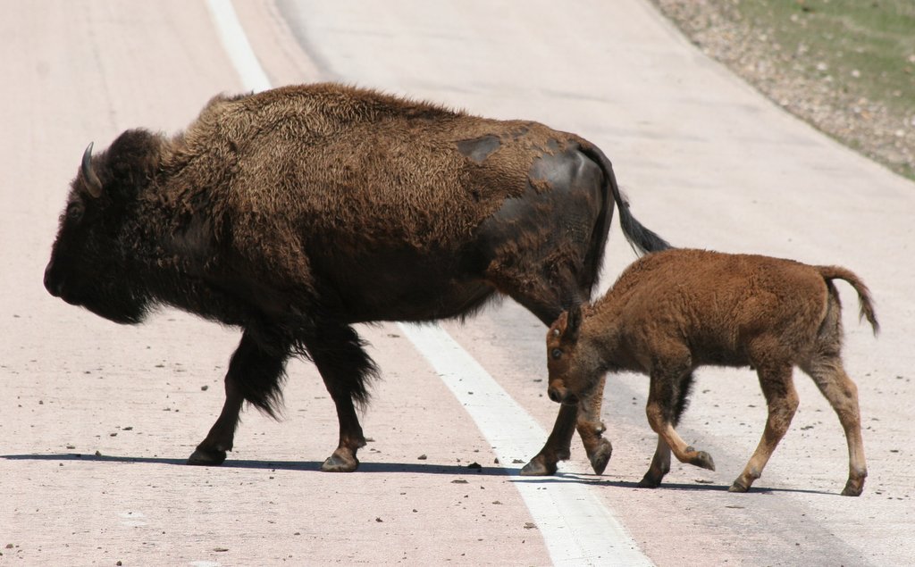
Bison cow and calf 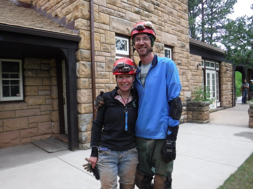
Muddy after the Wild Cave Tour (no cameras allowed on the tour) 
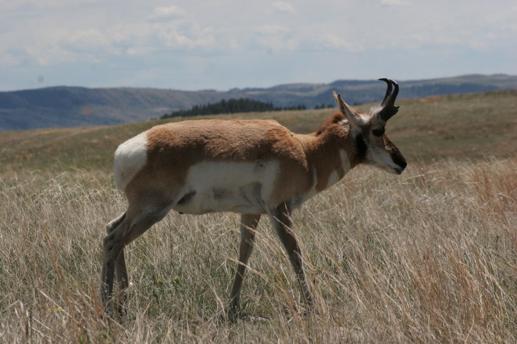
Pronghorn 
Elk antler shed 
Backpacking in the park 
Bison enjoying a vibrant green-up following a fire in 2017 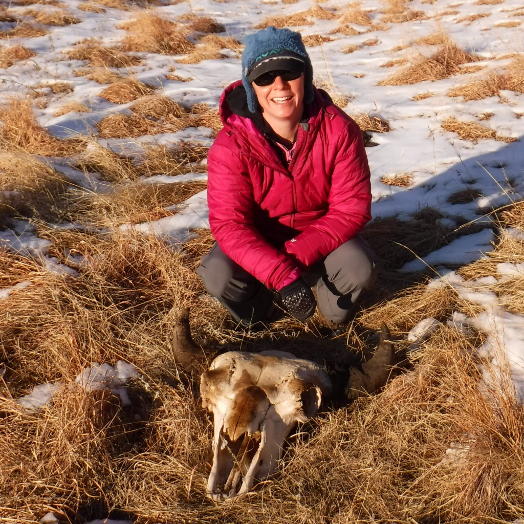
Tiff with a bison skull 
Prairie dogs 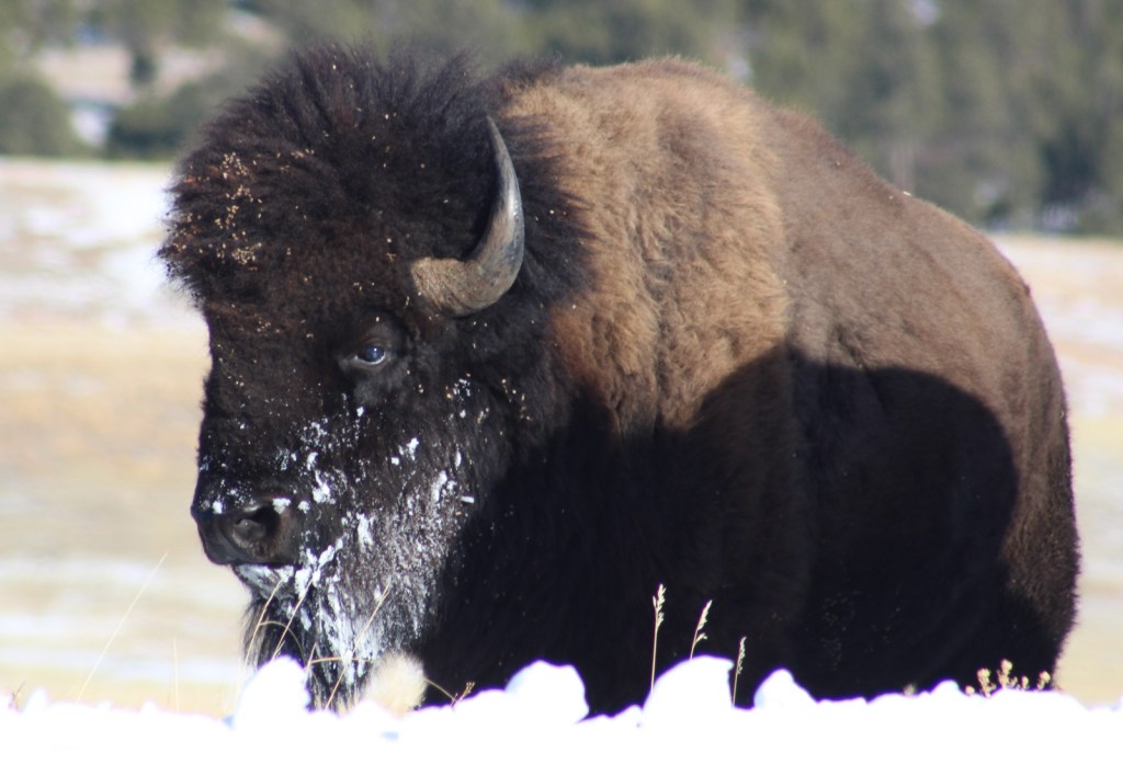
Snowy bison


Explore More – Wind Cave contains what percentage of the boxwork calcite formations discovered in the entire world?


We are a participant in the Amazon Services LLC Associates Program, an affiliate advertising program designed to provide a means for us to earn fees by linking to Amazon.com and affiliated sites.