Gallatin National Forest
Montana
Managed by U.S. Forest Service, Northern Region
2,151,461 acres (1,819,515 federal/ 331,946 other)
Website: https://www.fs.usda.gov/main/custergallatin/home
Overview
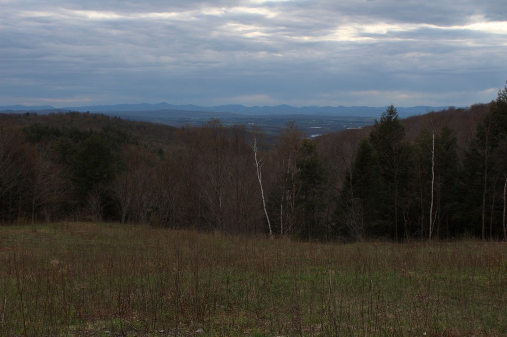
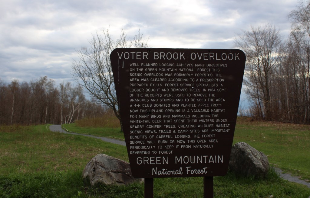
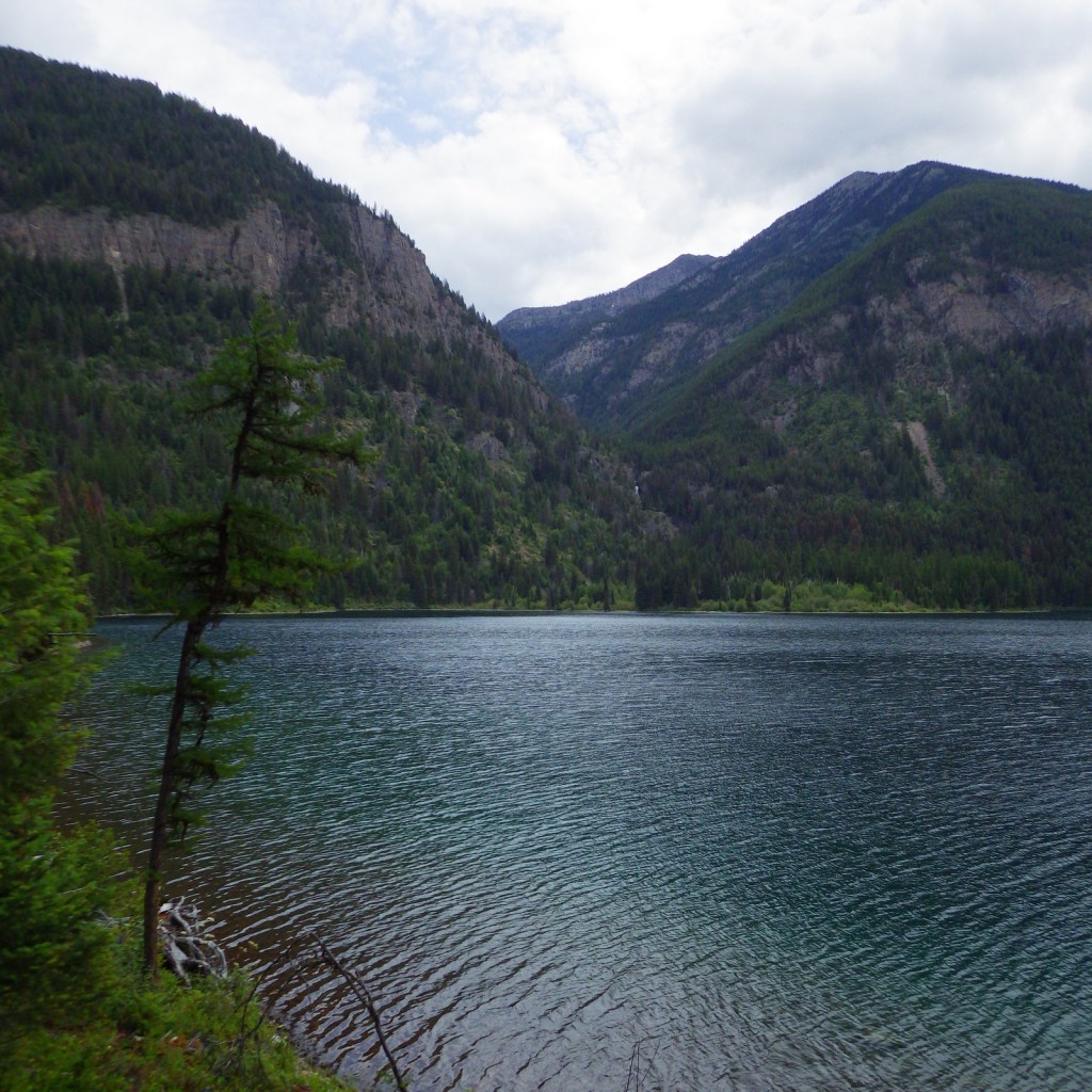
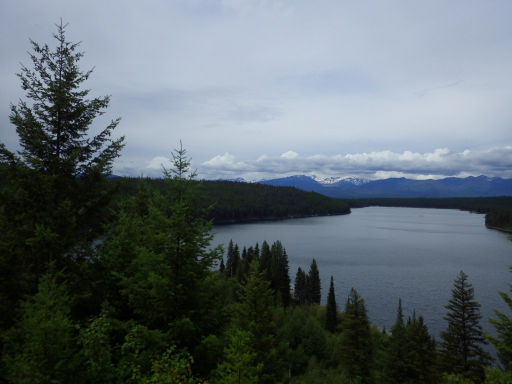
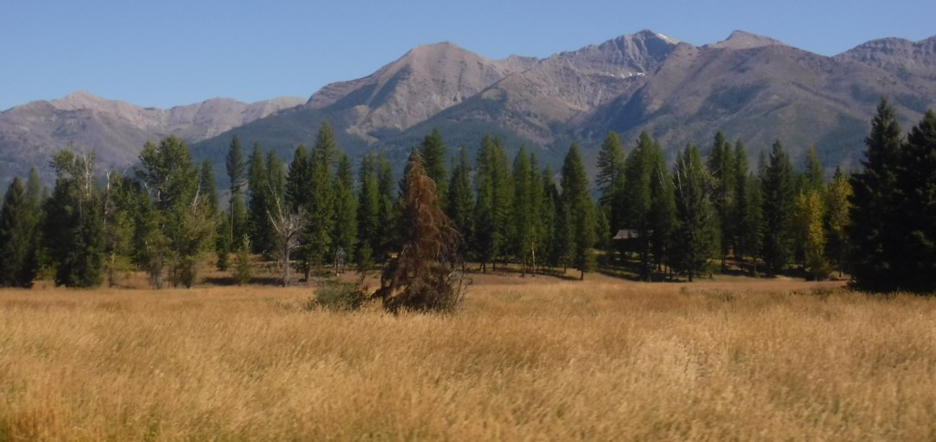
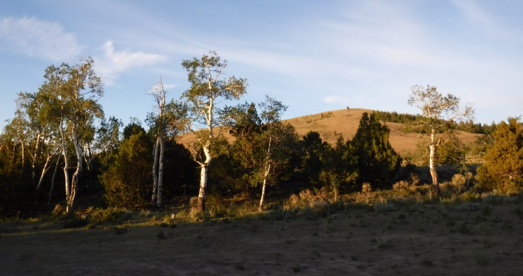
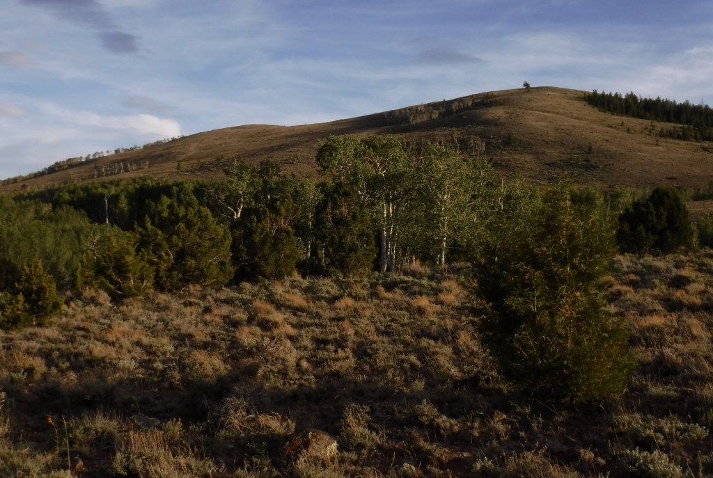
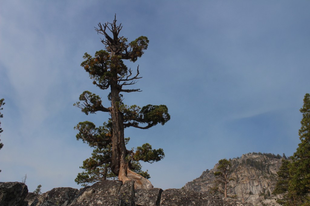
Gallatin National Forest borders much of the north and west sides of Yellowstone National Park, providing important wildlife habitat in the Absaroka-Beartooth and Lee Metcalf Wilderness areas. The National Forest also contains portions of the Bridger Range and Crazy Mountains north of Bozeman and Interstate 90. The Gallatin Petrified Forest is only accessible by trail, either from a short two-mile one-way jaunt (that gains 650 feet of elevation) or by backpacking the 27-mile Gallatin Divide-Devils Backbone Trail. Free permits are available from Forest Service Ranger Stations to collect up to 20 cubic-inches of petrified wood each year. Since 2014, it has been co-managed as the Custer-Gallatin National Forest, stretching east into South Dakota.

Highlights
Earthquake Lake Visitor Center, film, Fairy Lake, Devils Slide, Flathead Pass, Big Timber Canyon, Palisade Falls, Spire Rock Campground, Natural Bridge, Kersey Lake, Hardscrabble Peak, Pine Creek Falls, Bridger Mountains National Recreation Trail, Spanish Creek Trail, Red Canyon Trail, Petrified Forest Interpretive Trail
Must-Do Activity
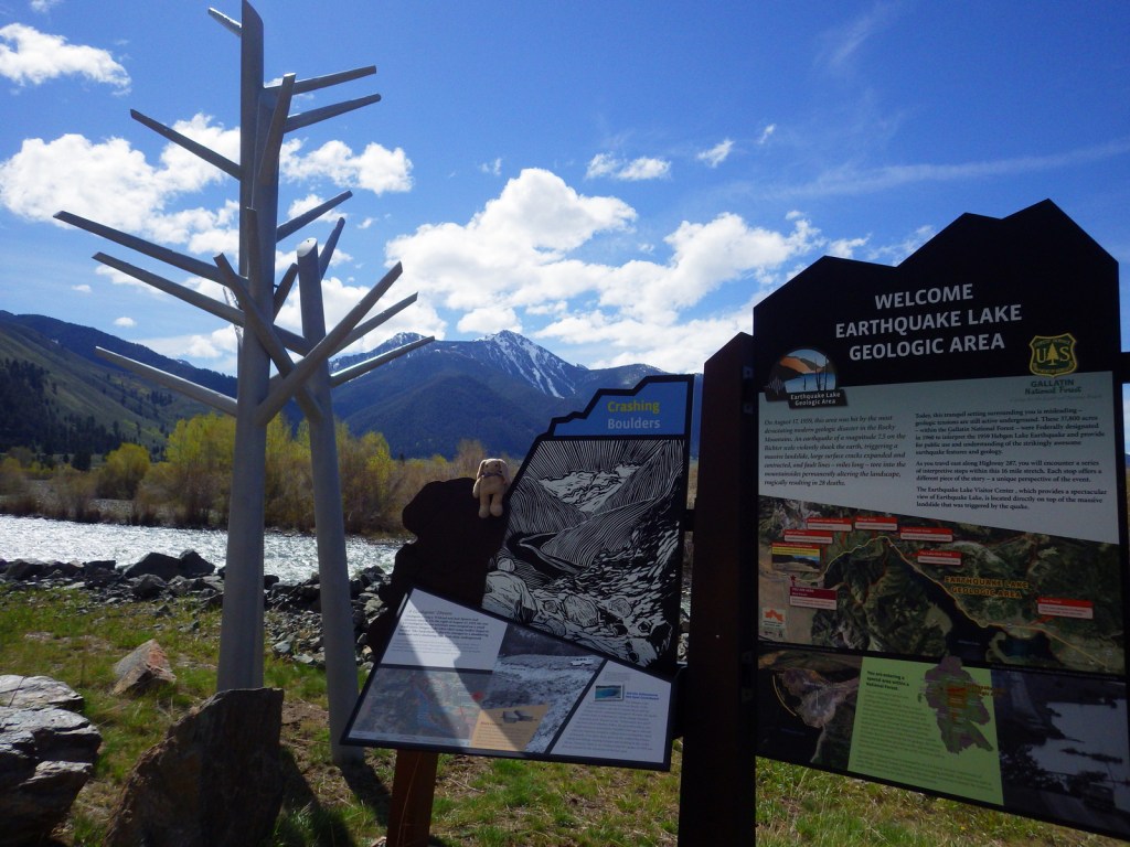
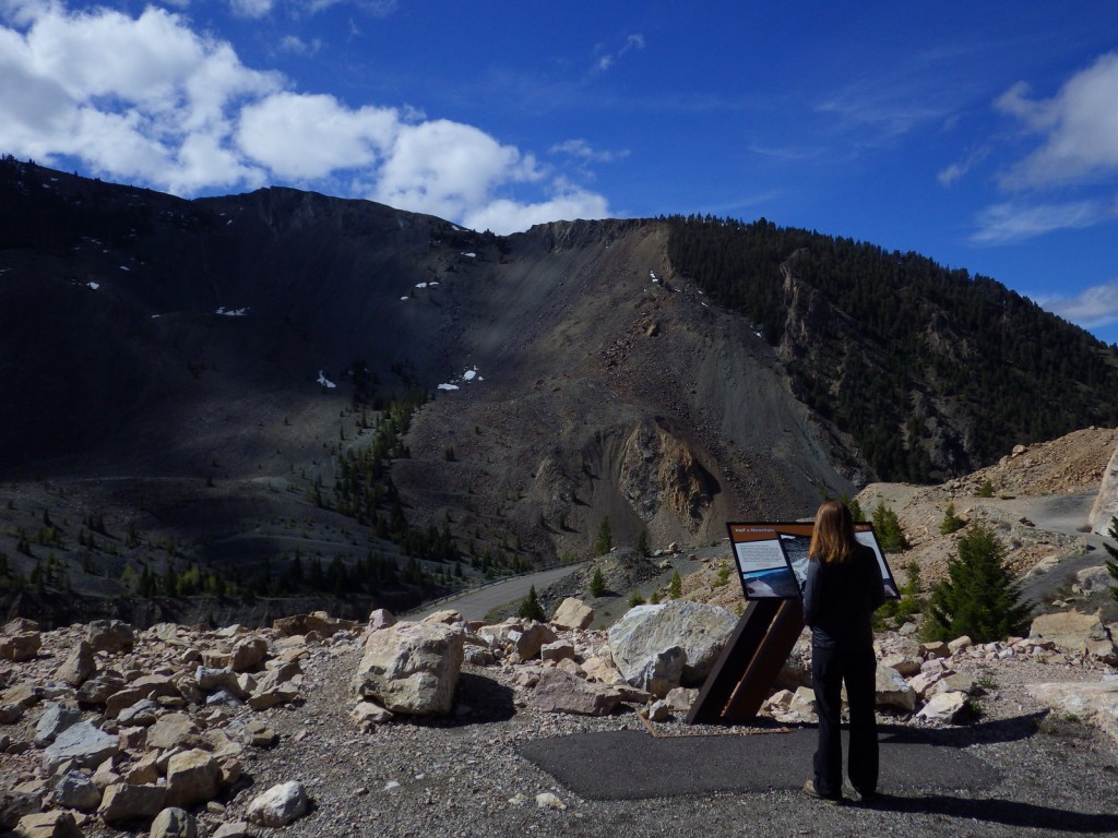
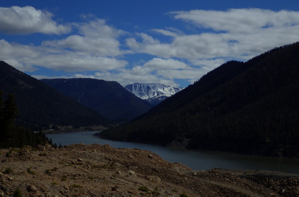
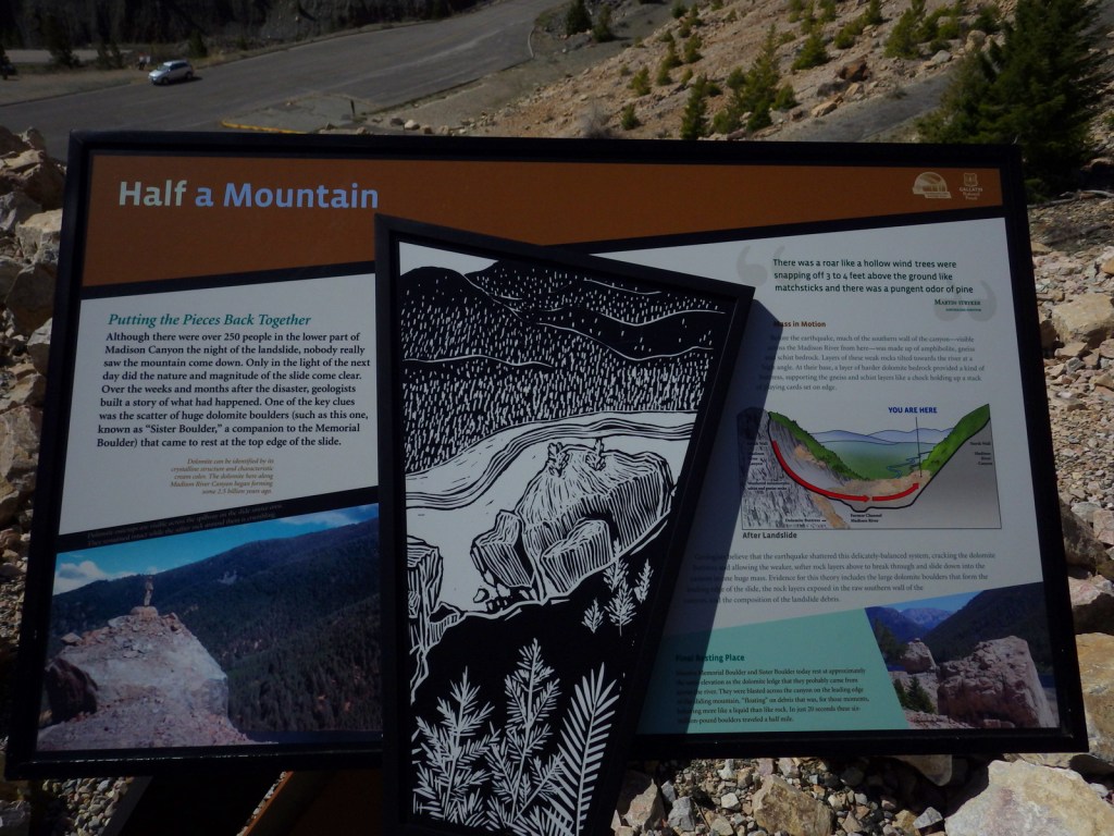
Earthquake Lake Geologic Area stretches along Highway 287 to commemorate the events that occurred around midnight on August 17, 1959 when a magnitude 7.5 earthquake hit West Yellowstone, Montana. The strongest earthquake ever recorded in the Rocky Mountains caused a hillside to crumble and block the Madison River and form Quake Lake, which is still there today. Seiches (“lake tsunamis”) on Hebgen Lake and landslides claimed 28 lives and trapped hundreds campers. The next day, after Forest Service smokejumpers parachuted in to assist survivors, the most seriously injured were evacuated out by helicopter. Today there is an interpretive auto tour with multiple stops along the highway. In addition, a visitor center operates in the summer where they show a film and the 0.3-mile Landslide Trail has signs explaining the events and how the massive Memorial Boulder crossed from one side of the valley to the other in less than 20 seconds (see Instagram-worthy Photo).
Best Trail
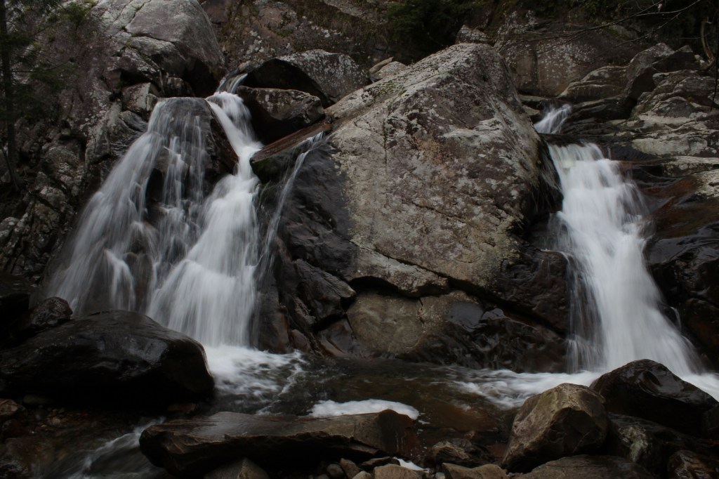
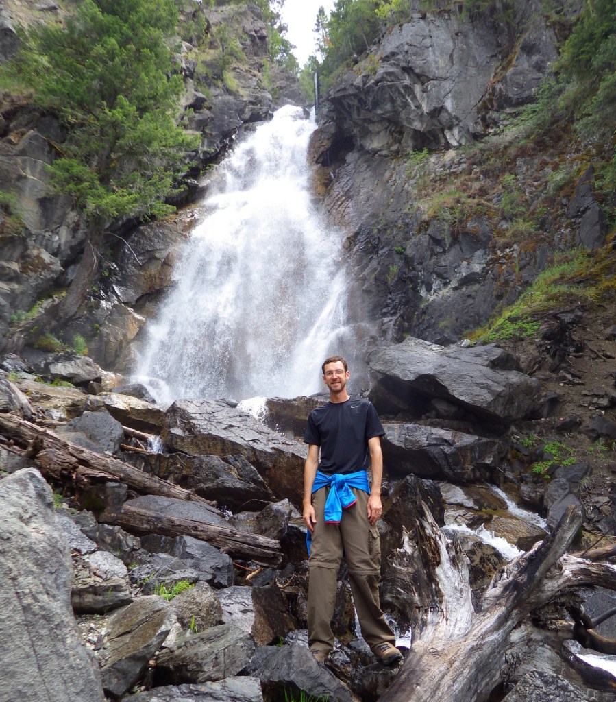
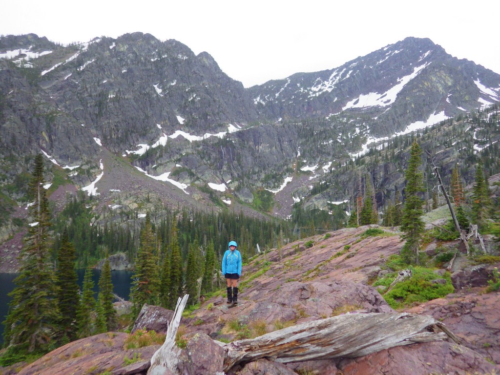
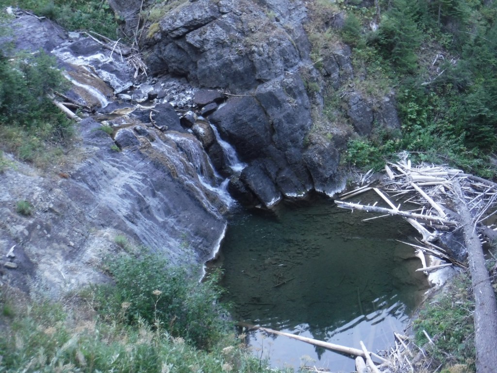
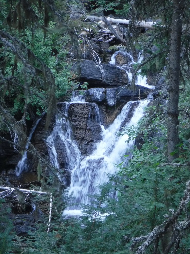
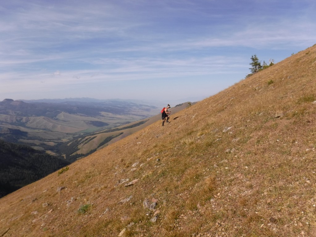
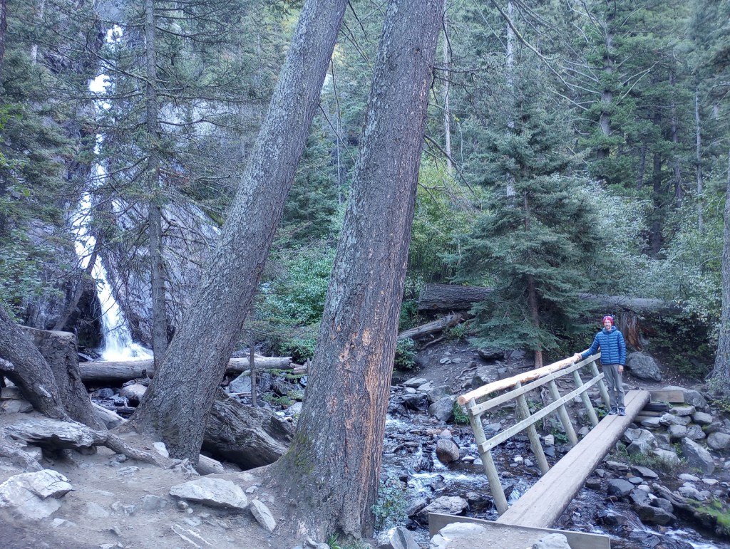
Pine Creek Falls is located 1.3 miles from the Pine Creek Campground after a 400 foot elevation gain. The popular route first enters a burned forest then crosses a bridge over the creek at a half-mile before reaching the waterfall where most hikers turn around. The trail gets steeper as it continues another four miles to Pine Creek Lake climbing about 3,400 feet, including one grueling stretch that ascends 1,800 feet in only 1.3 miles.
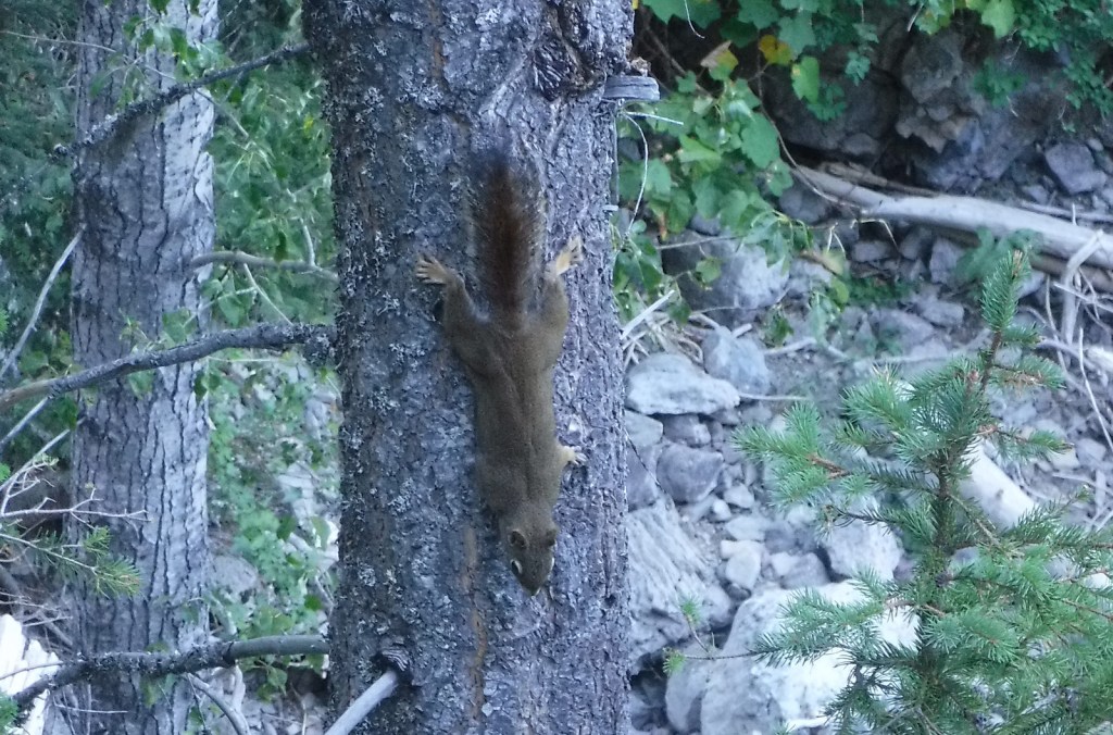
Watchable Wildlife
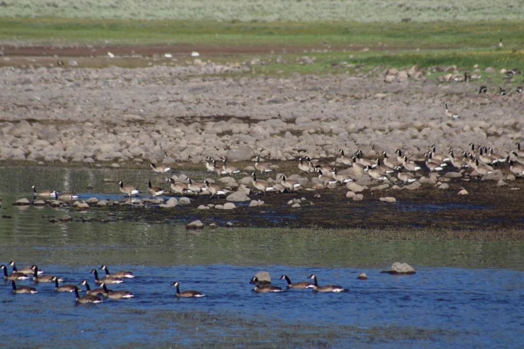
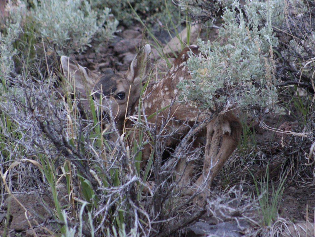
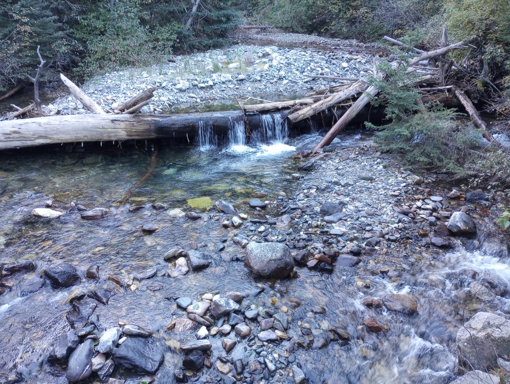
There are more than 4,000 miles of streams and rivers in the National Forest, including major tributaries of the Yellowstone and Missouri Rivers. This makes Gallatin National Forest one of the premiere fly fishing destinations in the U.S. and also attracts bald eagles and ospreys. Due to its proximity to Yellowstone National Park, there are also gray wolves and grizzly bears. Other large mammals include elk, mule deer, moose, bighorn sheep, pronghorns, mountain lions, and black bears.
Instagram-worthy Photo
Memorial Boulder and Sister Boulder used to be located across the valley, but during the 1959 earthquake these six-million-pound dolomite slabs crossed the half-mile distance in less than 20 seconds.

Peak Season
Summer
Fees
None
Road Conditions
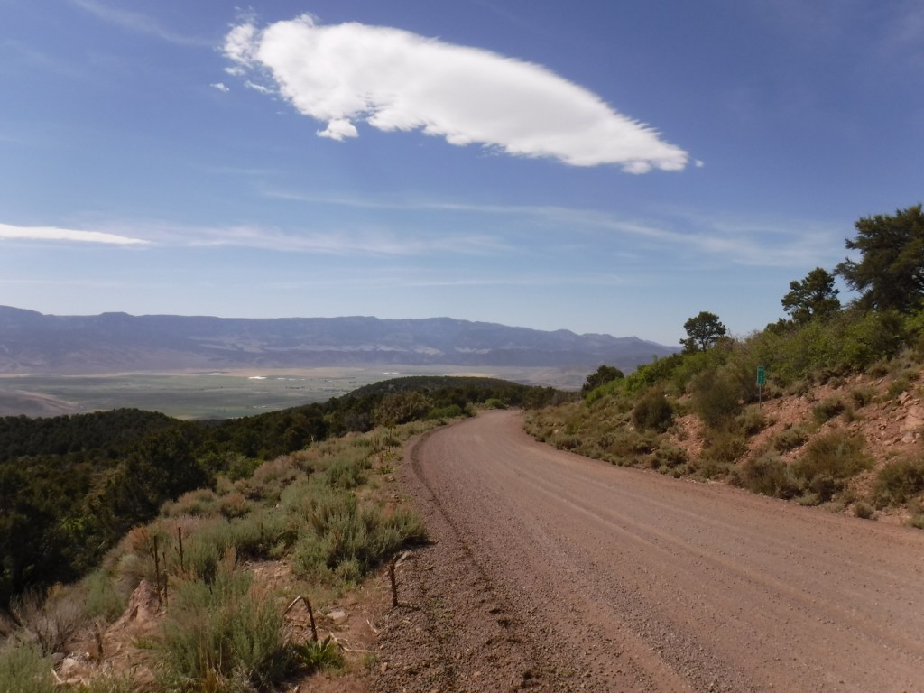
The roads are paved up to the Earthquake Lake Visitor Center, Pine Creek Campground, and Big Sky Mountain Village (south of Bozeman). It is 13 miles (mostly unpaved) from Highway 89 to the Petrified Forest Interpretive Trail, and there is a free campground where Rock Creek Road dead ends at the trailhead. There are also many miles of four-wheel-drive roads to explore throughout the National Forest.
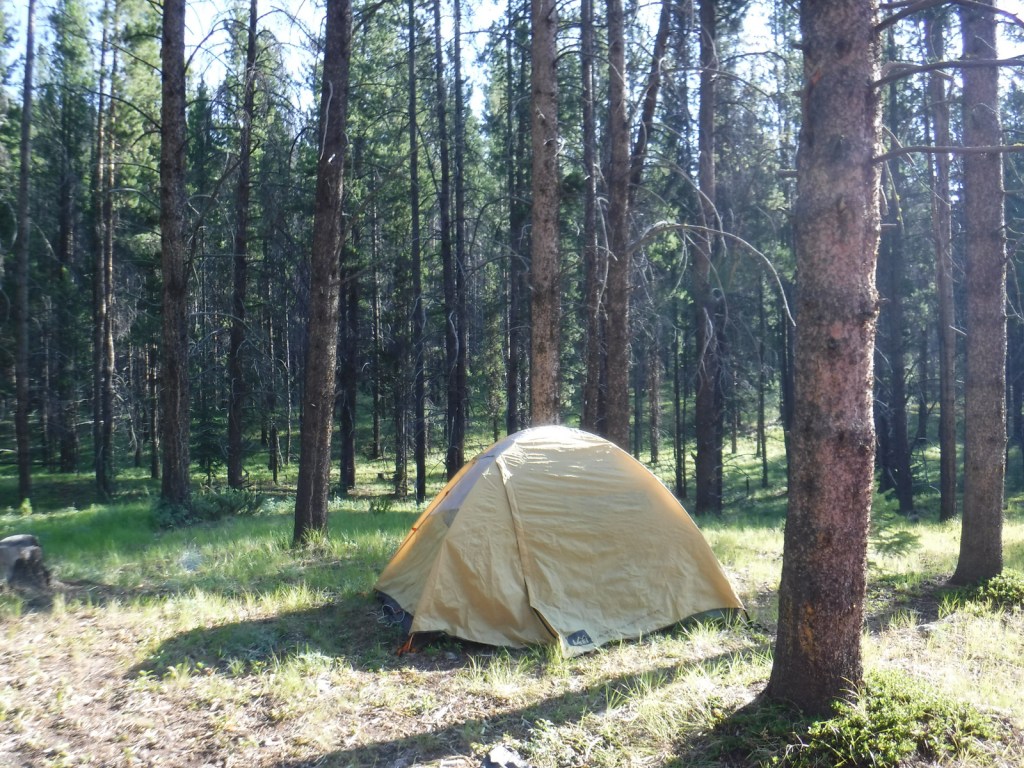
Camping
There are many campgrounds in Gallatin National Forest (like Eagle Creek just outside Gardiner on the northern border of Yellowstone National Park), as well as dispersed camping options.
Wilderness Areas
Absaroka-Beartooth Wilderness (also in Custer and Shoshone National Forests)
Lee Metcalf Wilderness (also in Beaverhead National Forest)
Related Sites
Custer National Forest (Montana-South Dakota)
Big Hole National Battlefield (Montana)
Beaverhead–Deerlodge National Forest (Montana)
Nearest National Park


lodgepole pine, ponderosa pine, whitebark pine, subalpine fir, Douglas-fir, Engelmann spruce
quaking aspen, balsam poplar, cottonwood, alder, mountain maple, mountain ash
Explore More – Why was the National Forest named after Albert Gallatin?

Learn more about this and the 154 other National Forests in our new guidebook Out in the Woods
We are a participant in the Amazon Services LLC Associates Program, an affiliate advertising program designed to provide a means for us to earn fees by linking to Amazon.com and affiliated sites.