Overview
More than half the island of St. John is part of Virgin Islands National Park, a Caribbean paradise known for its white sand beaches and crystal waters. The National Park also includes 95% of Hassel Island, which was once a peninsula connected to St. Thomas. The region is still recovering after Hurricanes Irma and Maria did extensive damage in 2017, but did not seem to affect the sugar mill ruins that have been standing since the 1720s.

Highlights
Trunk Bay, Maho Bay, Annaberg Sugar Mill, Petroglyph Trail, Saltpond Bay
Must-Do Activity
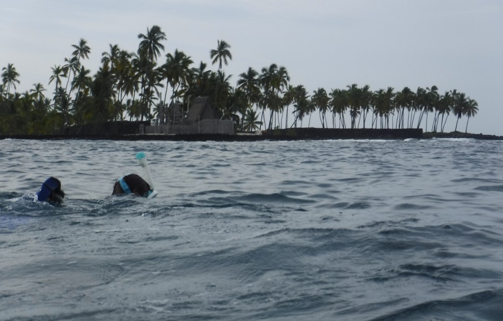
Snorkeling is the number one reason to visit St. John, which is surrounded by coral reefs. The Underwater Trail in popular Trunk Bay is a good place to start, but our favorite spot to snorkel was from the beautiful beach at Saltpond Bay where we saw sea turtles, reef squids, and countless other species. From the beach a trail leads 1.8 miles roundtrip to the 200-foot high cliffs at Ram Head.
Best Trail
Reef Bay Trail starts near the island’s high point at 900 feet in elevation, then descends 1.5 miles to the split for Petroglyph Trail where the rocks around a seasonal waterfall have several Taino carvings. Reef Bay Trail continues another mile to the ruins of a sugar mill where ranger-led hikes (fee) are met by a boat.
Instagram-worthy Photo
A small, paved pulloff at the top of a hill on North Shore Road looks east towards the white sand beaches of Trunk Bay, an image used in almost every promotional publication for St. John.

Peak Season
Winter
Hours
https://www.nps.gov/viis/planyourvisit/hours.htm
Fees
None, except when lifeguards are on duty at Trunk Bay.
Road Conditions
Two narrow, winding, paved routes (North Shore and Centerline Roads) leave from Cruz Bay where the ferries arrive. Several dirt roads require four-wheel-drive, including Catherineberg Road. Note: you drive on the left side of the road in the U.S. Virgin Islands, but in standard American left-side driver seat vehicles.
Camping
None on the island of St. John until the NPS reopens Cinnamon Bay Campground, which closed following the 2017 hurricanes.

Overlook of Cruz Bay on the Lind Point Trail 
Reef squid in Saltpond Bay 
Annaberg Sugar Mill Ruins 
Yes, that is a white-tailed deer on a beach on an island in the Caribbean 
Scott with petroglyphs 
Bananaquit 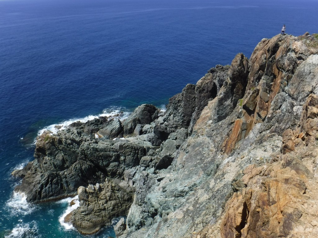
Tiff on the cliffs at Ram Head 
Sea turtles and a remora in Maho Bay 
Catherineberg Sugar Mill ruins 
Hawksnest Bay 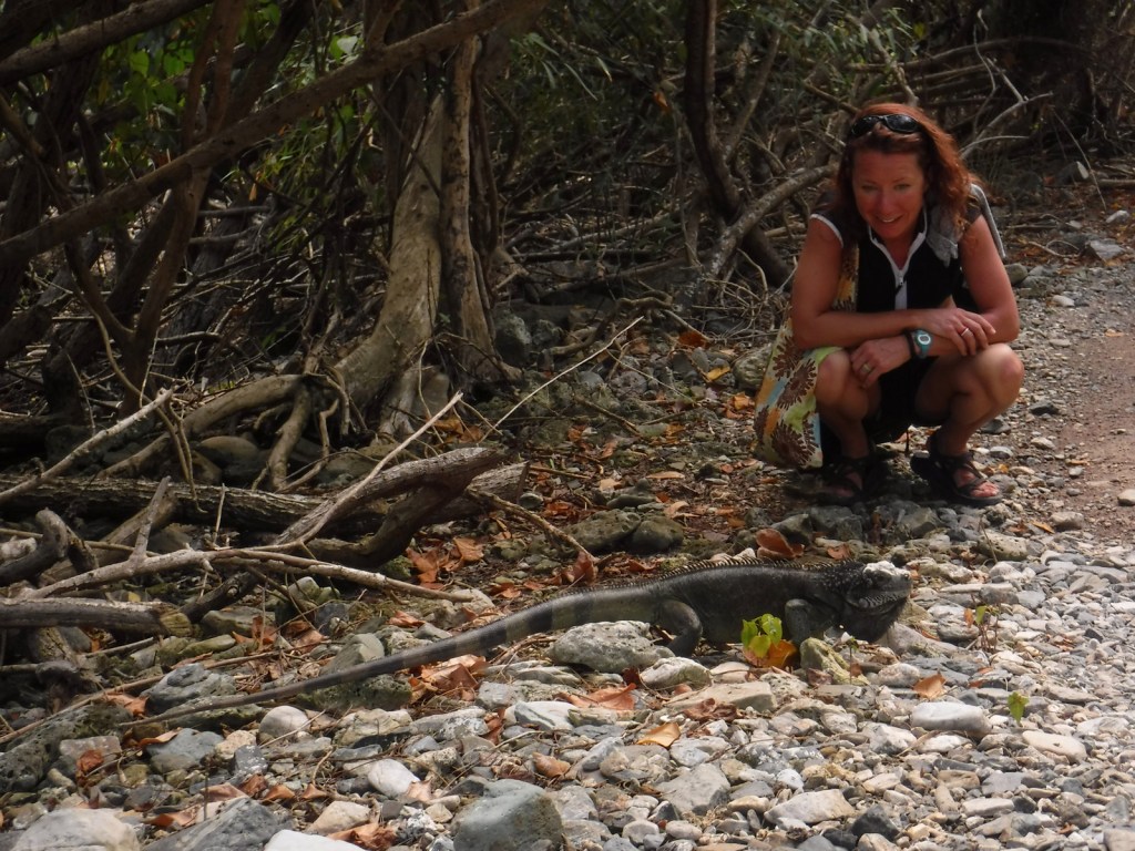
Tiff came upon this iguana along the trail to Leinster Point 
Stingray 
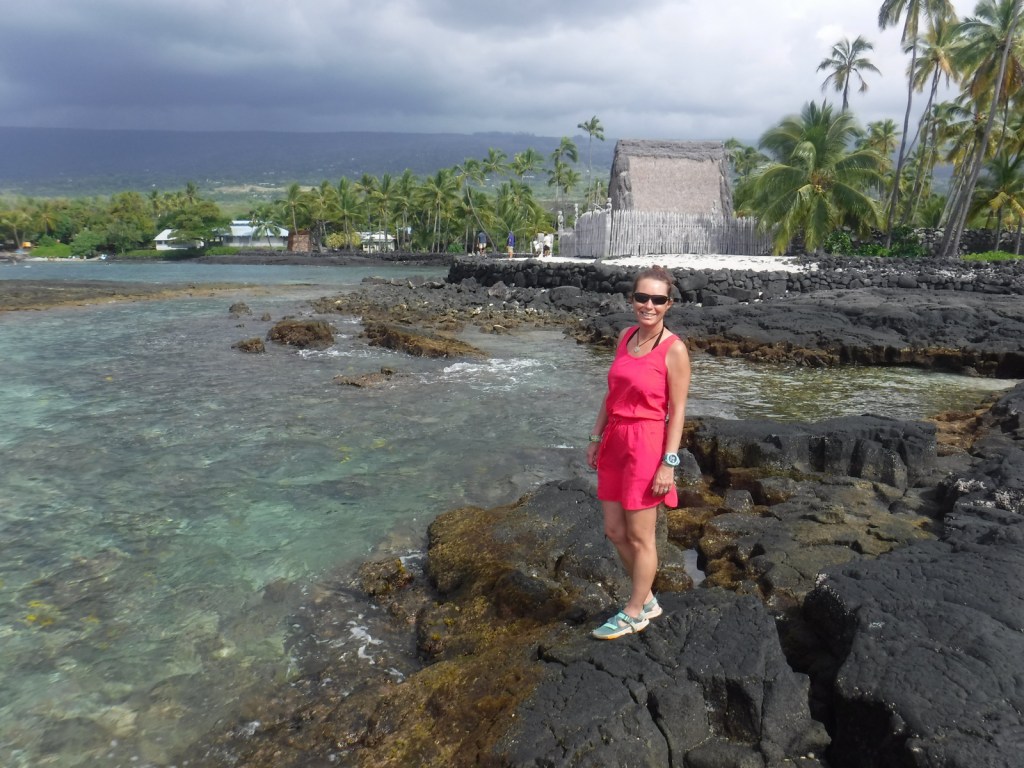
Tiff wearing Raven About the Parks gear at Saltpond Bay

Explore More – How long did the violent slave revolt in 1733 last before French troops arrived on St. John to return slaves to the sugarcane plantations?

We are a participant in the Amazon Services LLC Associates Program, an affiliate advertising program designed to provide a means for us to earn fees by linking to Amazon.com and affiliated sites.