Overview
Why create a memorial to a genocidal Conquistador when he was not the first Spaniard to land in Florida? Good question. Juan Pónce de León and Pánfilo de Narváez had both already met their demise in this region, but that did not deter Hernando de Soto from trying again in 1539. He did not die until three years later, after he led his soldiers all the way to the Mississippi River leaving a path of destruction in their wake.
Highlights
Camp Ucita, film, Memorial Trail, Holy Eucharist Monument
Must-Do Activity
De Soto made landfall in Florida somewhere in the vicinity of modern-day Bradenton, Florida where the Manatee River reaches Tampa Bay on the Gulf of Mexico. He left behind 100 men there in Camp Ucita, a replica of which was built on the site of the 27-acre De Soto National Memorial. In the winter (a.k.a. touristy) months, costumed interpreters work at the replica Camp Ucita.
Best Trail
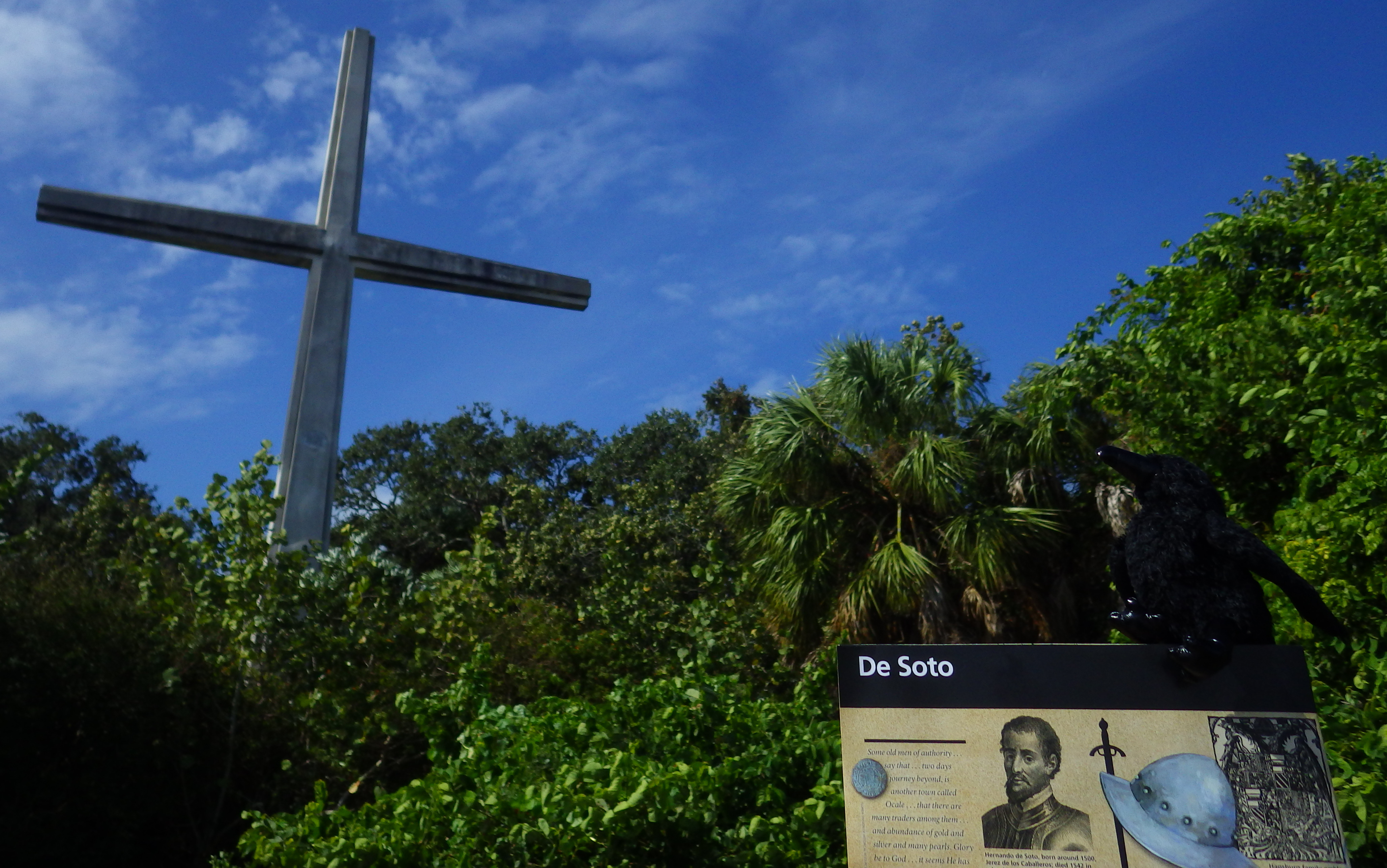
Hike the half-mile Memorial Trail through the mangroves to the Holy Eucharist Monument. Then cool off in the air-conditioned visitor center to watch a 22-minute film on the Spanish expedition.
Instagram-worthy Photo
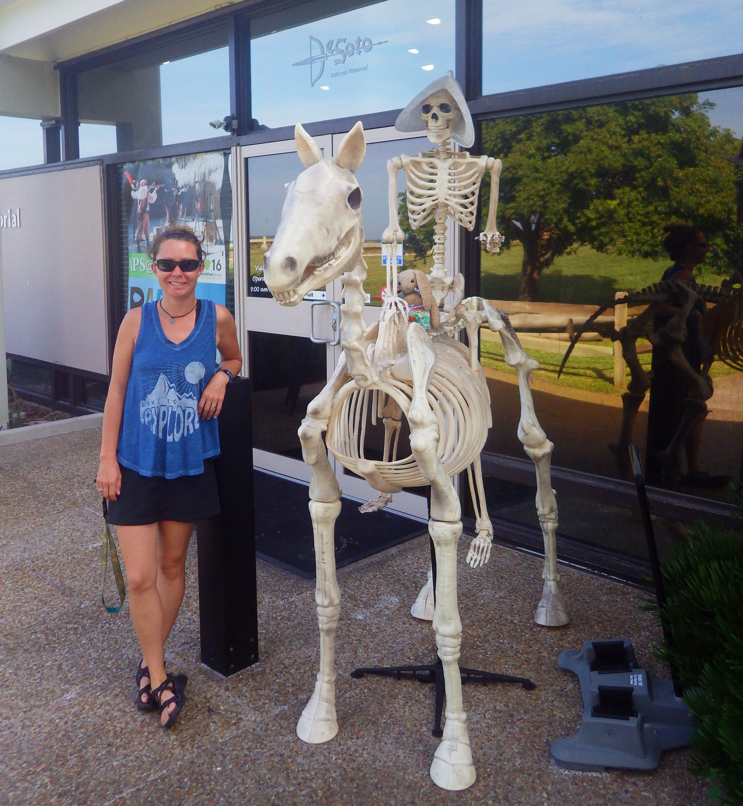
If you visit around Halloween, a scary skeleton Conquistador atop a skeleton horse will greet you at the entrance to the National Park Service visitor center.
Peak Season
Winter
Hours
https://www.nps.gov/deso/planyourvisit/hours.htm
Fees
None
Road Conditions
A paved road leads through a residential neighborhood to the visitor center, so watch out for dog walkers and joggers on the road and trail.
Camping
Myakka River State Park is southeast of Bradenton (where private campgrounds are also available).

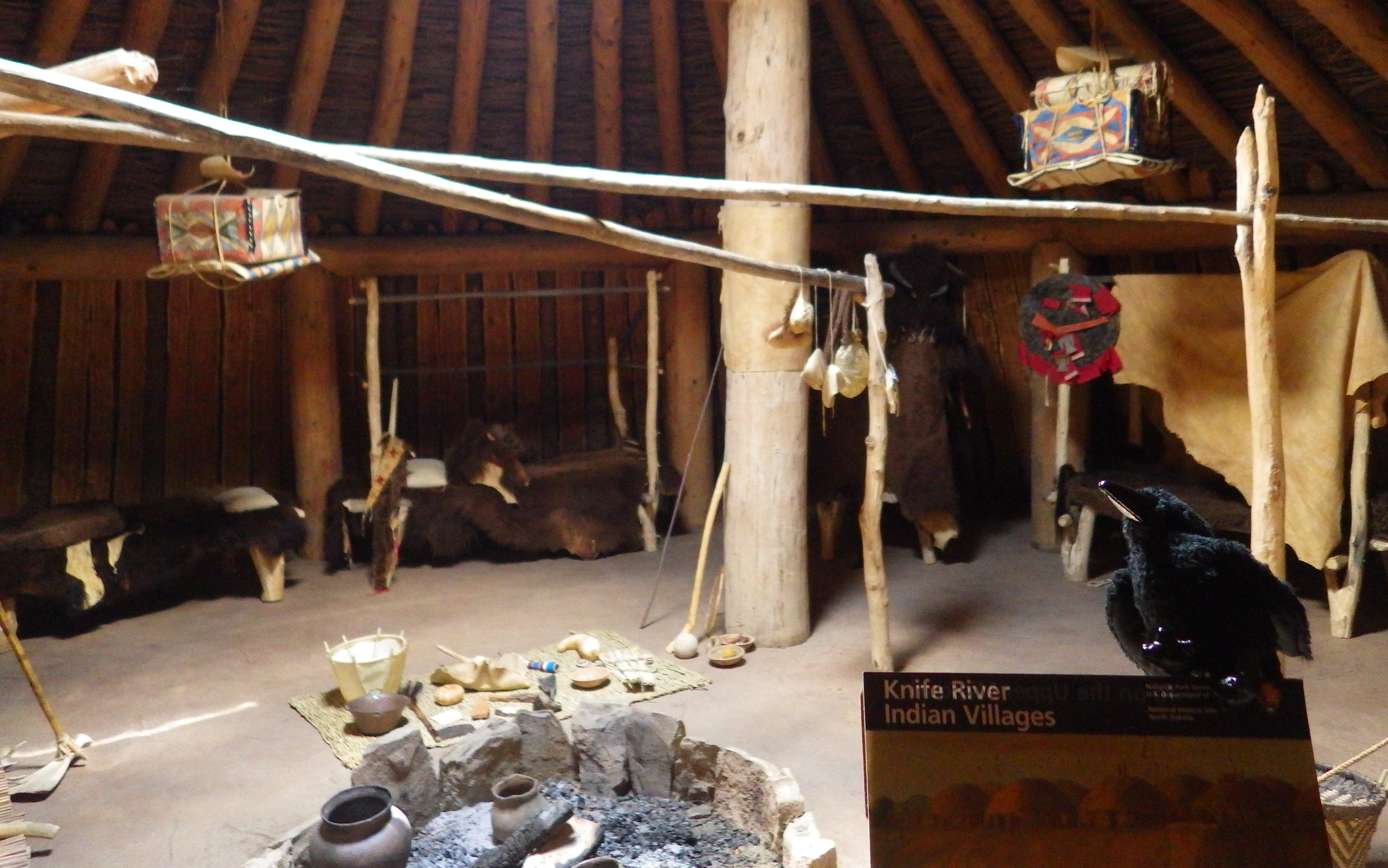
Camp Ucita 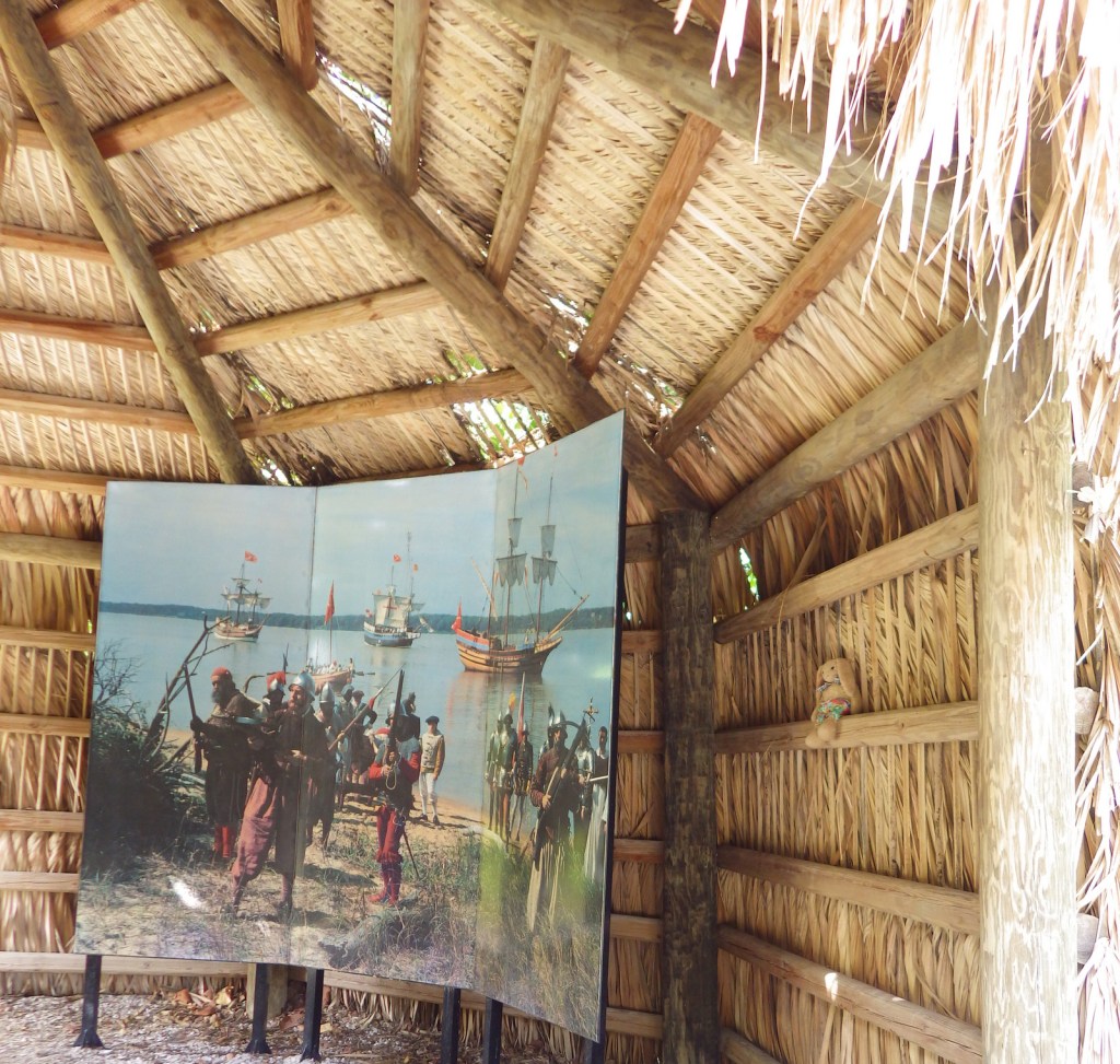
A depiction of the fateful landing 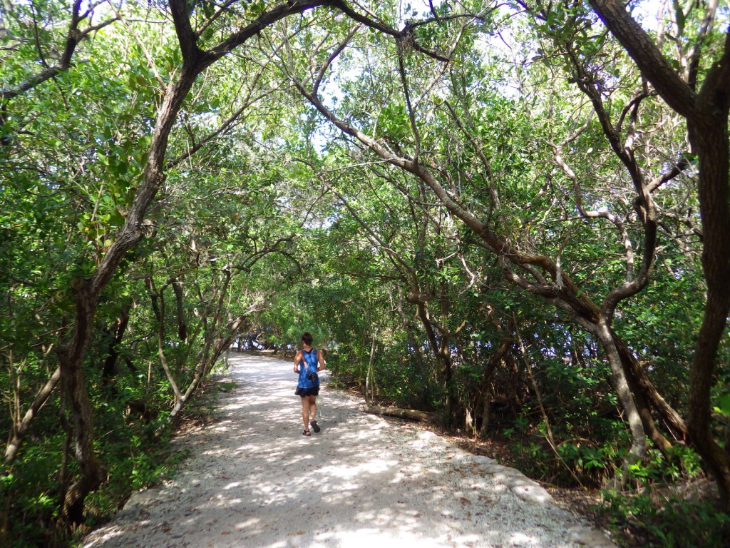
Tiff walking along the nature trail 
Trees along the Manatee River 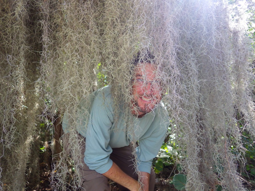
Scott with Spanish moss 
Scott along the banks of the Manatee River 
Native Floridian dress in 1539 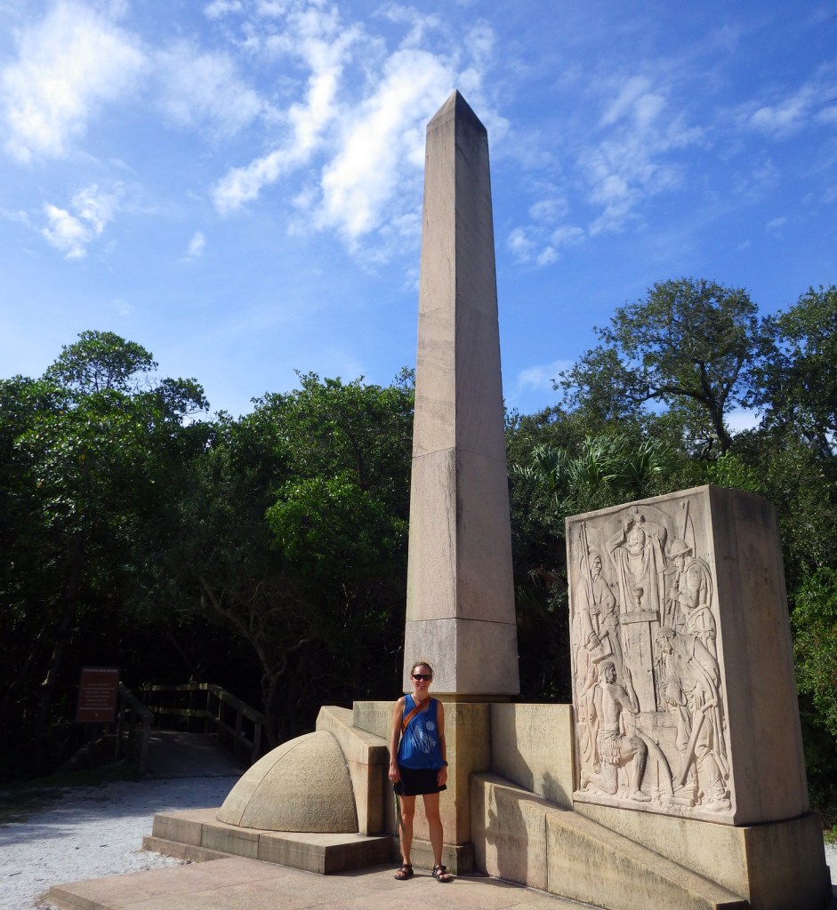
Tiff at the De Soto Monument 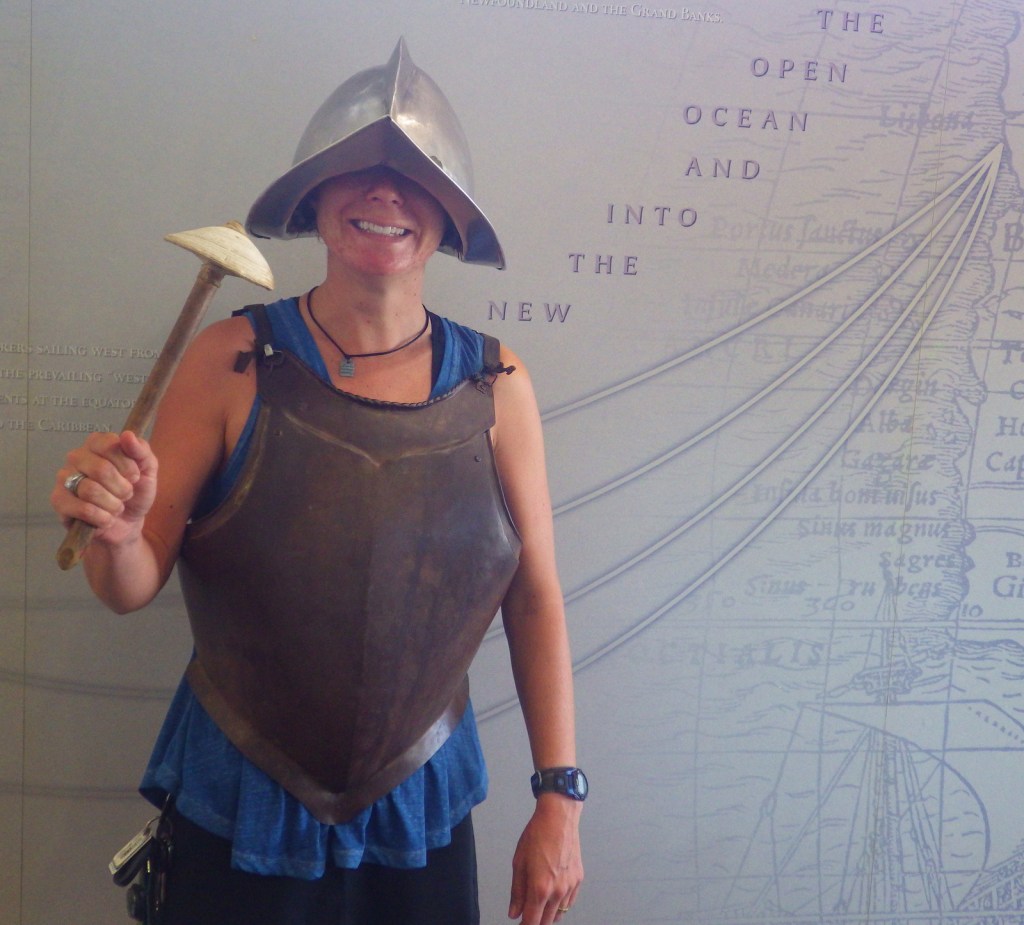
Tiff dressed up as a Conquistador
Explore More – The Spaniards brought many diseases to the indigenous peoples, but the introduction of which domesticated animal had the longest lasting ecological impact?