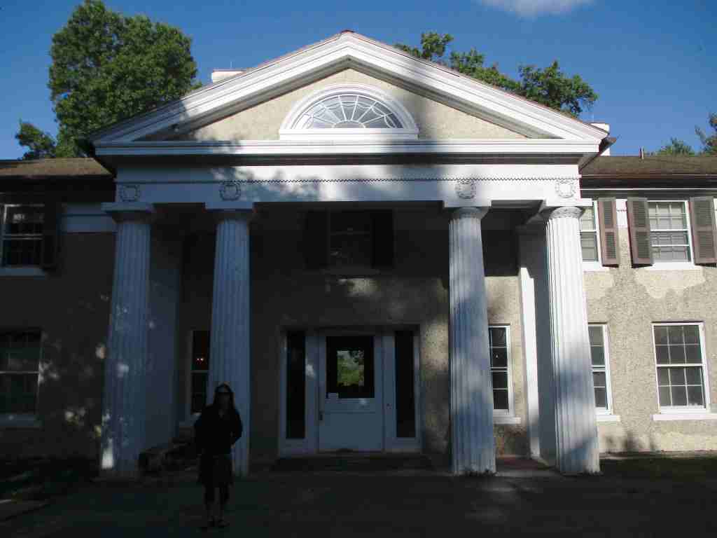
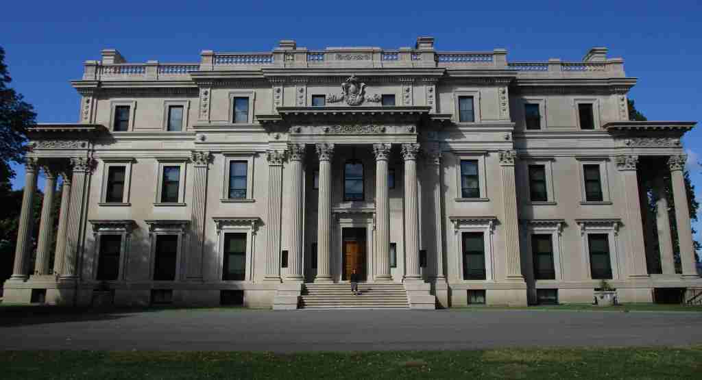
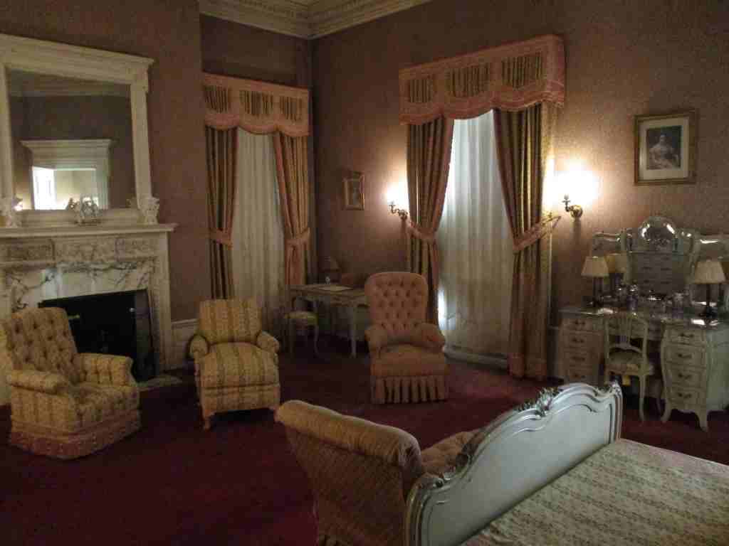
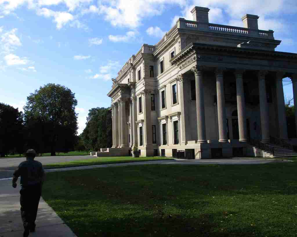
The Gilded Age is the term referring to the period from the Civil War to the end of the century, a time of growth in industry and immigration. Gilding is the process of putting a thin layer of gold on an object to improve its appearance and was used as a slight to the nouveau riche families that built lavish mansions and threw extravagant parties. Shipping and railroad tycoon Cornelius Vanderbilt’s grandson Frederick purchased this 600-acre Hyde Park estate in 1895. He and his wife Louise had the mansion there torn down and it took nearly four years to complete their 54-room mansion ornamented in beaux arts style. It was the first in the area to have electricity, which was supplied by its own hydroelectric plant. It was inhabited by the family only in the spring and fall with as many as 60 staff needed to run the place. When Louise’s niece could not sell the property during the Great Depression, her neighbor President Franklin D. Roosevelt suggested she donate it to the National Park Service.
Highlights
Mansion, Pavilion, Formal Gardens, Hyde Park Trail
Must-Do Activity
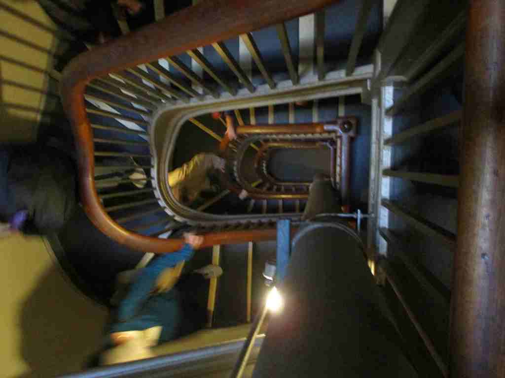
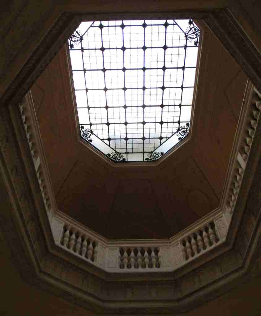
The only way inside the mansion is on a one-hour guided tour that does not take reservations. They can be purchased at the visitor center inside The Pavilion, a guest house built in 66 days in 1895. The grounds are free to explore, where you can walk on the carriage roads, picnic at the overlook, and peruse the Italian gardens. The mansion was designed by the leading architectural firm McKim, Mead & White, known for their emphasis on high classicism. It features a large living room, grand staircase, and semicircular portico overlooking the Hudson River and Catskill Mountains. The house cost $660,000 at the time, while the interior furnishings pushed the total cost to $2.3-million (equivalent to about $90-million today) since many of the decorations were purchased in Europe.
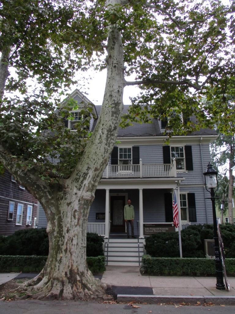
The Coolidge Corner neighborhood of Brookline (a suburb of Boston) contains the birthplace of John F. Kennedy (JFK), the 35th U.S. President and one of four born in Norfolk County. The house was purchased by Joseph Patrick Kennedy, Sr. in 1914 before his marriage to Rose Elizabeth Fitzgerald. Rose gave birth to John and his two sisters in the house’s upstairs bedroom before the expanding Irish Catholic family moved a few blocks away in 1920. Following JFK’s assassination, the family repurchased the home and Rose restored it to its 1917 appearance then donated it to the National Park Service (NPS).
Highlights
Tour, film
Must-Do Activity
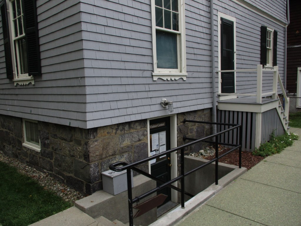
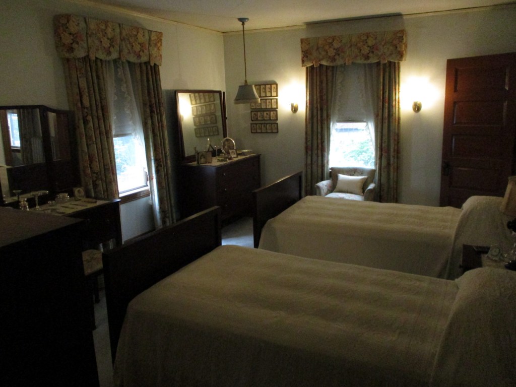
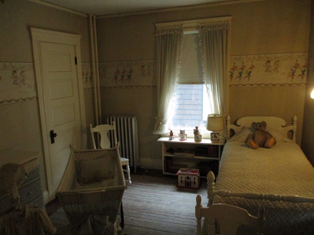
The entrance to the NPS site is through the back door into the basement where a film is shown. On a free, 30-minute guided house tour, rangers show the room where JFK was born and the nursery containing a bassinet that held each of the nine Kennedy children. About 19% of the furnishings in the home belonged to the family. Self-guided tours inside the house are allowed during the lunch hour and the closing hour of the day with free audio wands available in a variety of languages. The third story where the servants lived is off limits to visitors. The John F. Kennedy Presidential Library and Museum is located about nine miles away.
Best Trail
You can walk around the neighborhood on your own or reserve a spot on a free 90-minute ranger-guided tour of Boston’s North End (beginning at 2:15 Thursday through Sunday), which includes a stop outside Rose Kennedy’s birthplace home.
Photographic Opportunity
You can drive by the Florida Ruffin Ridley School (formerly known as the Coolidge Corner School and the Edward M. Devotion School) that JFK attended.
The house is located at 83 Beals Street and there is free, two-hour parking available on the street in front of neighbors’ houses. You can also take the train to Coolidge Corner and walk four blocks north up Harvard Street.
Located in western Montana, the elevation of Lolo National Forest ranges from less than 2,400 feet on the Clark Fork River below Thompson Falls to the top of 9,186-foot Scapegoat Mountain. West of Missoula off Interstate 90, the Ninemile Historic Remount Depot preserves a Civilian Conservation Corps (CCC) camp and pack stock training facility. Founded in 1907, the Savenac Historic Tree Nursery Area is also well developed for visitors, including an arboretum and cabin rentals in what were formerly the cookhouse and bunkhouse.
Know someone who loves the National Forests? Gift them our travel guidebook Out in the Woods so they can learn more about this and the 154 other National Forests.
Highlights
Rattlesnake National Recreation Area, Lolo Pass Visitor Center, Lolo National Historic Trail, Fort Fizzle, Blue Mountain Recreation Area, Cascade Falls, Savenac Nursery, Petty Creek Bighorn Sheep Viewing Site, Clearwater Canoe Trail, Stark Mountain Vista, Lewis and Clark National Historic Trail
Must-Do Activity
Lolo National Forest surrounds Missoula, where the Aerial Fire Depot and Smokejumper Center offers guided tours and exhibits. Right outside of the city are numerous hiking trails in Blue Mountain Recreation Area and Rattlesnake National Recreation Area, which contains 73 miles of trails (and has its own blog entry on our website). Following a path used by the Corps of Discovery in 1805, the Lolo National Historic Trail shadows Highway 12 west into Idaho (see Clearwater National Forest). Take time to stop at the Lolo Pass Visitor Center managed by the U.S. Forest Service.
Best Trail
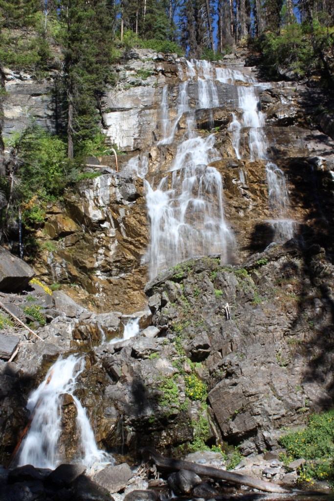
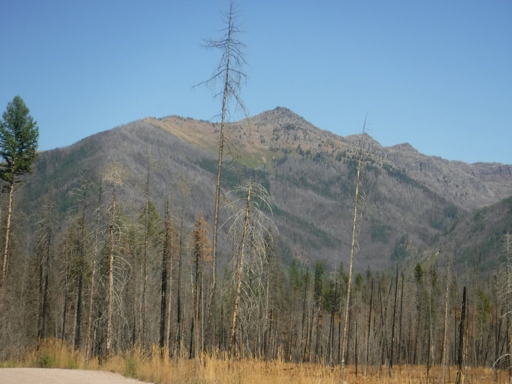
Morrell Falls National Recreation Trail leads to a 90-foot-tall waterfall on the western slope of the Swan Range. The trail is 5.5 miles out-and-back, mostly flat with some short inclines as it cuts through a burned area now full of beargrass and fireweed. The waterfall cascades down a rocky outcrop and is well lit in the afternoon. The trailhead is located 7.5 miles from Highway 83 on a good gravel road that has well-signed intersections. Also nearby, the Pyramid Pass Trailhead provides access to the Bob Marshall Wilderness in adjacent Flathead National Forest.
Watchable Wildlife
There are 60 species of mammals found in Lolo National Forest, including grizzly/brown bears, black bears, mountain lions, gray wolves, mountain goats, bighorn sheep, elk, moose, and mule deer. Among the largest of the more than 300 birds spotted are bald eagles, golden eagles, and trumpeter swans. The five rivers and over 100 lakes are home to 30 varieties of ducks and 20 types of fish.
Photographic Opportunity
Located on the western slope of the Swan Range, 90-foot-tall Morrell Falls is accessed on a 5.5-mile out-and-back hike.
quaking aspen, Rocky Mountain maple, western serviceberry
Explore More – What is the origin of the name Lolo?
Know someone who loves the National Forests? Gift them our travel guidebook Out in the Woods so they can learn more about this and the 154 other National Forests.
Last year we published our guidebook 50 States of Great: Road Trip Guide to America, so we decided to start a new type of blog post where we create a travel itinerary for all 50 states, in addition to our usual National Forest and National Park entries. After starting by jumping around to Kansas, Georgia, Idaho, Rhode Island, Minnesota, Hawai’i, Arizona, Louisiana, and South Dakota, we headed to the Midwest for our tenth state. We start in the northwest corner of Indiana on the shores of Lake Michigan near Chicago, then all roads lead to Indianapolis, so we head south with plenty of options to extend the trip. See for yourself why Indiana made it on our Top 10 States for State Parks list.
Indiana Dunes National Lakeshore was originally created in 1966 as a compromise between industrialists seeking to build more steel mills and conservationists wanting to preserve biodiversity. Though it is now one of the 63 National Parks, the quiet Dunewood Campground still provides hot showers in a wooded setting inland from the lakeshore.
Complete the 3 Dune Challenge by climbing the three tallest dunes in the State Park (separate entrance fee) to earn a prize at the visitor center shared with the National Park.
This museum on the University of Notre Dame campus in South Bend offers free admission and highlights Christian art from Europe. Guided tours are offered of the famous football stadium year-round, and the Basilica of the Sacred Heart and adjacent Grotto of Our Lady of Lourdes spiritual shrine are always open. On a college football gameday, do not miss the midnight drumming circle beneath the golden dome and other traditions throughout the day.
Optional stop at Studebaker National Museum
South Bend was once the headquarters for manufacturing Studebakers and the museum displays many made-in-Indiana automobiles.
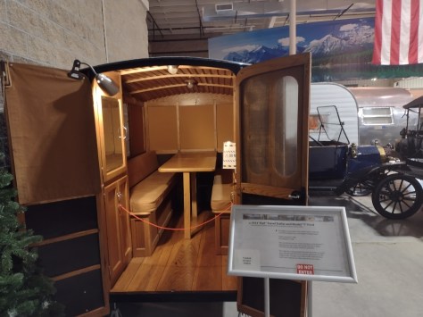
Elkhart is recognized as “the RV Capital of the World” since so many Recreational Vehicles are built in local factories. The Hall of Fame first opened in 1991 then moved to a larger building where it exhibits more than 50 historic vehicles dating back to the 1913 Earl Travel Trailer. You can also take a free plant tour of Jayco, Inc. to see RVs being manufactured in nearby Middlebury.
Six miles down the road in Elkhart, the Hall of Heroes Superhero Museum has more than 50,000 comic books and countless toys and movie props on display. All-you-can-play arcade games are included with your admission.
This popular state park is about an hour west of Indianapolis and offers camping, hiking, swimming, kayaking, and fishing.
Day 4
Indianapolis Motor Speedway
The first auto race took place here in 1909 and the first Indy 500 was held two years later. The car that won that inaugural Indy 500 was the Marmon Wasp and it is held in the track’s Hall of Fame Museum, along with the Borg-Warner Trophy. This is considered the world’s largest stadium (with a capacity of 257,325). When cars are not running, you can take a bus tour around the oval (at significantly less than 200 miles-per-hour) and kiss the 36-inch strip of bricks at the finish line left unpaved.
Optional stop at James A. Allison Exhibition Center
Down the road from the racetrack, the free James A. Allison Exhibition Center tells the story of a local auto parts builder who expanded his company (founded in 1915) into engines for military airplanes.
Optional stop at the Children’s Museum of Indianapolis
Hands-on exhibits abound in this renowned museum southeast of downtown.
Today you can still buy cornmeal ground by the historic gristmill that runs for ten minutes every hour, part of Pioneer Village where costumed reenactors demonstrate chair caning, broom making, and fiddle making. The park also contains trails, an elevated flume reconstructed by the Civilian Conservation Corps (CCC), Hamer Pioneer Gardens, guided boat trips that enter 500 feet into Twin Caves, and the Grissom Memorial Museum dedicated to the local hero who was the second American astronaut in space and died in a 1967 launchpad fire.
Located in downtown Indianapolis, this unique State Park surrounds the Indiana State Museum, Eiteljorg Museum of American Indian and Western Art, Indiana Zoo, and NCAA Hall of Champions featuring many interactive exhibits next door to the National Collegiate Athletics Association (NCAA) headquarters.
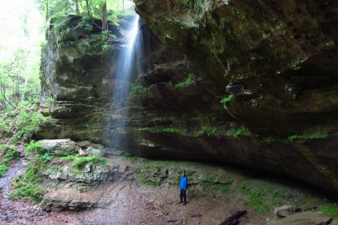
Created in 1935 from cutover and abandoned farmland, the National Forest’s best hike is Hemlock Cliffs Trail, a 1.2-mile loop through a canyon that passes two unique waterfalls. A 0.8-mile trail runs through the 88 acres of old-growth forest of Pioneer Mothers Memorial Forest. The tall trees here range in age from 150- to 600-years-old, and the black walnuts that grow in a moist cove known as Walnut Cathedral are considered the finest specimens in the country.
A visitor center and auto trail make this the most developed National Wildlife Refuge in Indiana for birding and fishing. The nearby Big Oaks National Wildlife Refuge encompasses a former military property and requires special authorization to visit.
The beautiful Lanier Mansion was built for James Franklin Doughty Lanier, a prominent businessman in the state of Indiana around the mid-1800s. The Greek Revival-style house was completed in 1844 and is one of the finest buildings in Madison’s National Historic Landmark District on the Ohio River. Well-preserved Madison was an important waystation on the Underground Railroad.
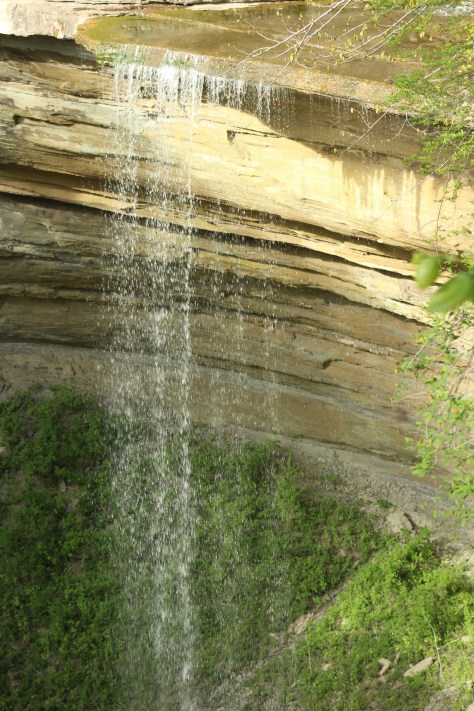
This park protects a deep, boulder-strewn canyon with several waterfalls, including one with a 60-foot drop. It also has a campground and the blufftop Clifty Inn built in 1924 with views of the Ohio River.
Optional stop on the Indiana Cave Trail
A driving route connects several show caves in the southern part of the state where the brisk air is always a humid 57°F. Highlights include Indiana Caverns, Wyandotte Caves State Recreation Area, Squire Boone Caverns, Marengo Cave, and Bluespring Caverns that offers a one-hour boat ride through America’s longest navigable underground river.
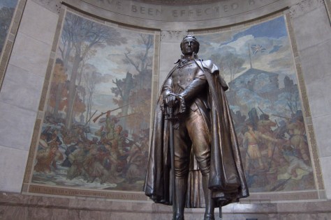
A beautiful 80-foot-tall granite memorial was built on the site of Fort Sackville in the 1930s to commemorate the victory Clark led there on February 25, 1779. After watching the 20-minute film in the visitor center in Vincennes, go inside the circular memorial with 16 columns in classic Greek style to see a bronze statue surrounded by seven murals. You can then walk down the Wabash River to see the home of President William Henry Harrison and the old territorial capitol.
Holiday World
Located in the town of Santa Claus, this Christmas-themed amusement park has roller coasters, a water park, and many shops.
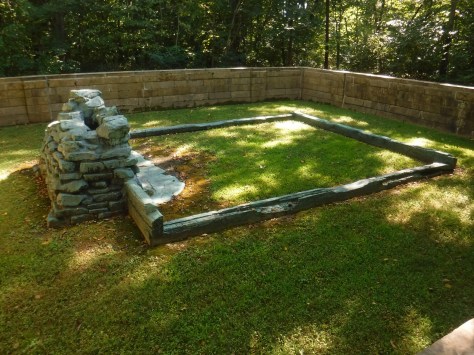
Take a walk past the pioneer cemetery to the Cabin Site Memorial where a bronze casting of sill logs and the fireplace hearthstones are at the site of Abraham Lincoln’s family cabin from 1829. The Living Historical Farm has costumed interpreters in the summer that depict homestead life at an authentic cabin and several outbuildings that were moved here from other parts of Indiana.
Angel Mounds State Historic Site
Near Evansville is a 430-acre site where there are 11 grass-covered Mississippian mounds built as early as 1,000 years ago, plus a replica village, simulated excavation site, and a visitor center full of artifacts.
Milan ’54 Museum
Commemorates the town’s 1954 high school boys’ basketball team that defeated the mighty Muncie Central for the state championship, as immortalized in the 1986 film Hoosiers.
Indiana Basketball Hall of Fame
In a state obsessed with basketball, this museum was moved from the capital city to New Castle in 1990 so it could have more room for expansion.
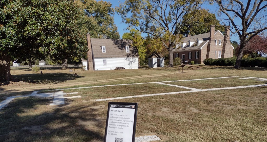
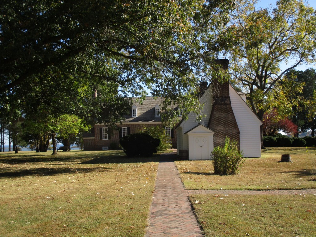
George Washington’s great-grandfather John first came to Virginia in 1657 and later settled this slave plantation on Popes Creek. The future general and president was born on the property in 1732 in a house that burned down whose foundation is now outlined in the ground by crushed oyster shells. The current Memorial House was constructed to celebrate the bicentennial of his birth, although the architect had no idea of the original house’s layout. Those interested in the first U.S. President should combine this free tour with an expensive visit to his mansion at Mount Vernon located 68 miles north.
Memorial Obelisk, film, Memorial House, Family Burial Ground, Nature Trail, Dancing Marsh Loop Trail
Must-Do Activity
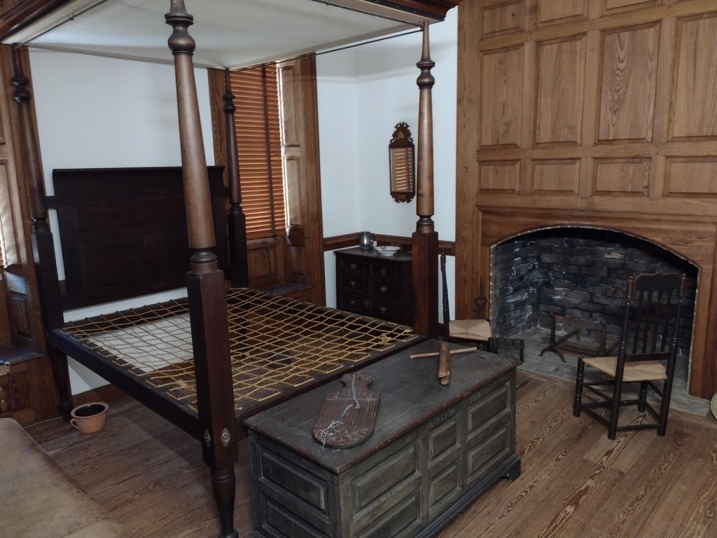
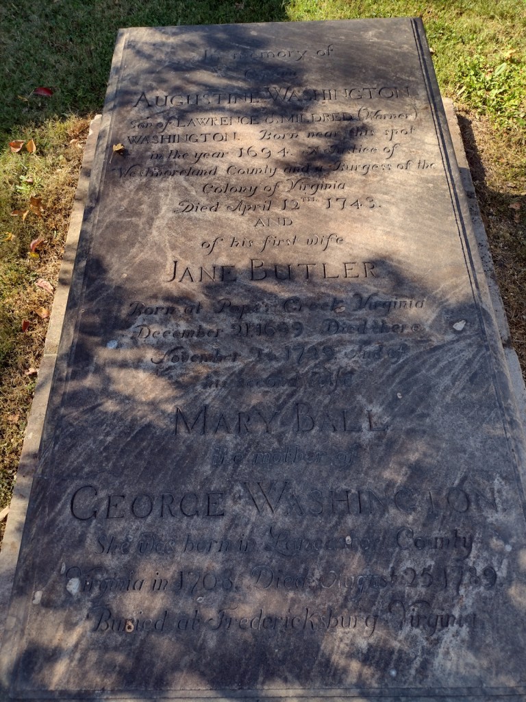
After passing the Memorial Obelisk on the drive in, your first stop should be the visitor center to watch the 15-minute film, see artifacts from the burned-down house, and find out about a tour. The hour-long ranger-guided walking tour covers about a half-mile on a gravel pathway to the Memorial House with frequent interpretive stops. In the summer, the house also has open hours for dropping in before and after the tour. There may be living history demonstrations at the colonial herb and flower garden, farm workshop, and colonial revival kitchen. It is worth a short drive to the tidewater beach on the Potomac River and a stop along the way at the Washington Family Burial Ground that has replicas of gravestones.
Best Trail
From the Memorial House, it is less than a mile to walk Dancing Marsh Loop Trail including open views on the footbridge across Popes Creek and the boardwalk through the marsh. This trail connects with the one-mile Nature Trail loop for a longer walk, and that is also accessible from the picnic area parking lot.
Photographic Opportunity
Originally constructed in 1896 by the War Department on the site where Memorial House now stands, the 50-foot-tall Memorial Obelisk is made of Vermont granite at one-tenth scale of the Washington Monument 70 miles to the north in Washington, D.C.
All roads are paved, but be aware there is a toll to cross the bridge into Virginia on Highway 301 southbound from Maryland.
Camping
There is no camping at the National Monument, so the nearest campground is seven miles southeast at Westmoreland State Park, which offers RV sites with hookups.