Overview
This historic college for African Americans is also the final resting place for pioneering staff members Booker T. Washington and George Washington Carver. In 1881, a 25-year-old Washington moved to an abandoned plantation in Alabama to found the Tuskegee Normal and Industrial Institute with a $2,000 appropriation from the state. From its initial enrollment of 30 students, Tuskegee has grown and continues to be an active and prominent university today.

Highlights
Historic campus, George Washington Carver Museum, Tuskegee Chapel, The Oaks
Must-Do Activity
Since only eight of the 58 acres dedicated to this National Historic Site are owned by the National Park Service (NPS) on this active college campus, it behooves you to call ahead to schedule your visit. Guided tours are available of the university and The Oaks, the historic Washington family home that was built by students. At least make sure the excellent George Washington Carver Museum is open when you visit. At the beginning of World War II, the school was selected to train African-American pilots, which is detailed at the nearby Tuskegee Airmen National Historic Site, also managed by the NPS.
Best Trail
None
Instagram-worthy Photo
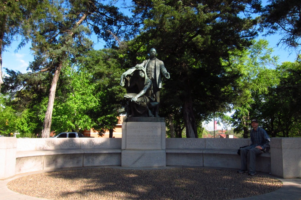
The sculpture of Booker T. Washington lifting the veil of ignorance from a slave was completed by Charles Keck in 1922.

Peak Season
Spring and fall
Hours
https://www.nps.gov/tuin/planyourvisit/hours.htm
Fees
None
Road Conditions
All roads are paved, but there is limited parking on campus for tourists.
Camping
Chewacla State Park is located northeast of town and primitive camping is allowed in Tuskegee National Forest (the smallest U.S. National Forest at 11,252 acres).
Related Sites
Booker T. Washington National Monument (Virginia)
George Washington Carver National Monument (Missouri)
Tuskegee Airmen National Historic Site (Alabama)

The Oaks, the Washington family home 
Booker T. Washington’s grave 

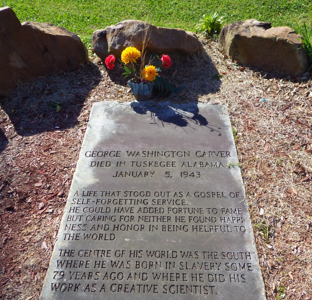
George Washington Carver’s grave 
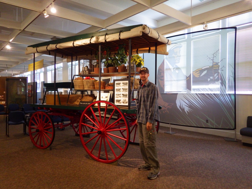
Tiff inside the George Washington Carver Museum 


Crowin’ about the park
Explore More – How many bricks were made and laid by Tuskegee students to build the original chapel in 1896-98?