Tag Archives: tour

Cane River Creole National Historical Park

Overview

In colonial Louisiana, the word “Creole” referred to any New World product, from architecture to livestock to human beings (and was not specific to any ethnicity).  South of Natchitoches, Louisiana the Cane River National Heritage Area follows an abandoned meander of the Red River, with two antebellum cotton plantations protected as Cane River Creole National Historical Park.  This National Park Service (NPS) site was authorized in 1994 and continues to be developed; meanwhile it provides an interesting perspective on a unique culture and excellent photographic opportunities.

Highlights

Oakland Plantation, Magnolia Plantation, historic buildings, pecan picking

Must-Do Activity

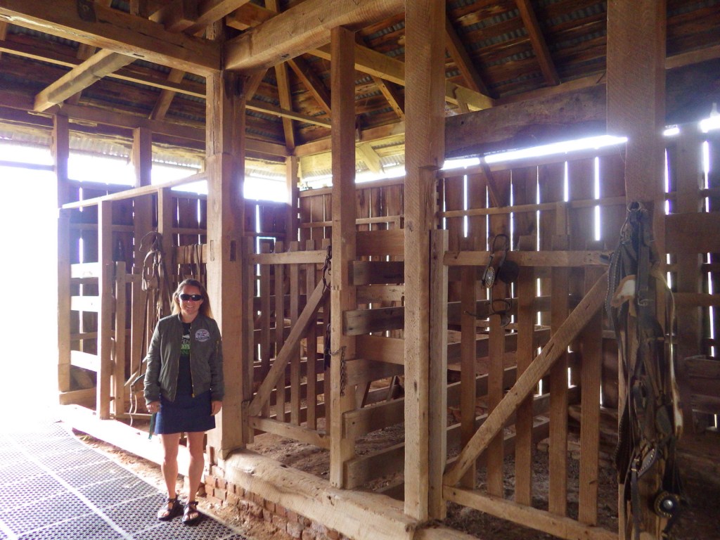
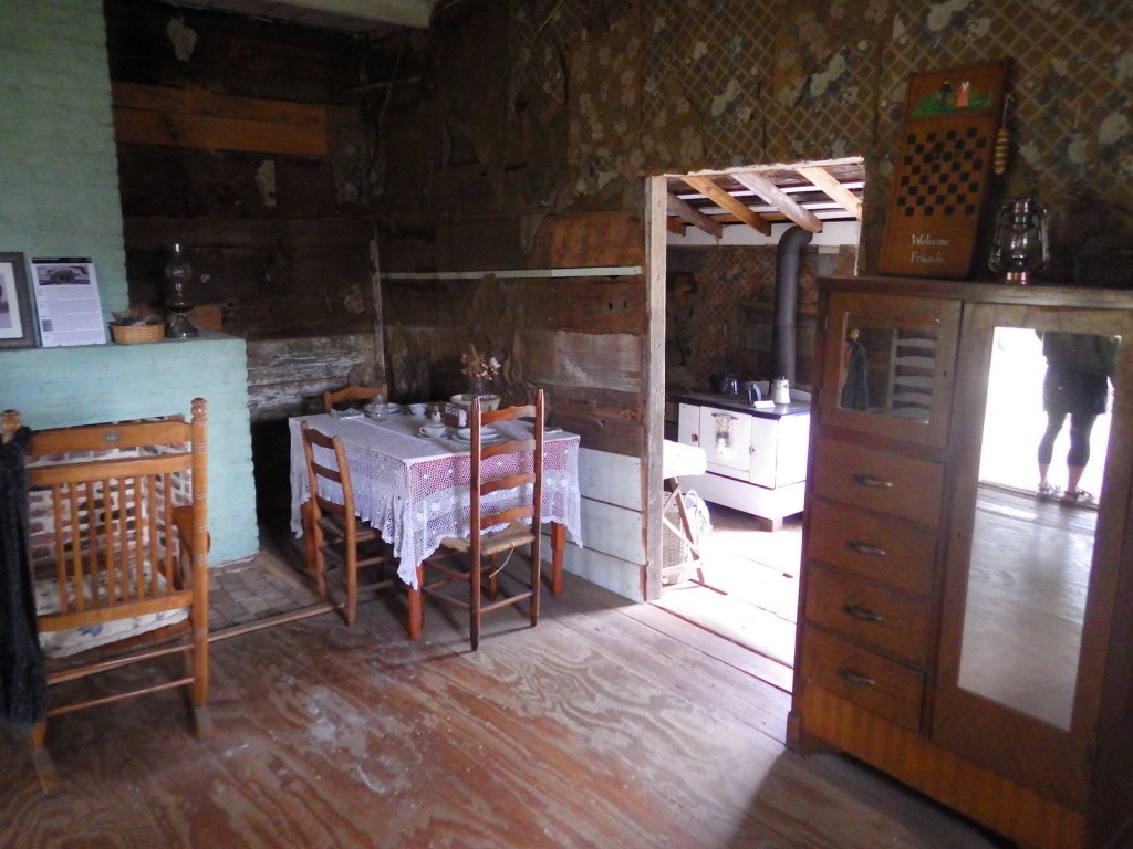
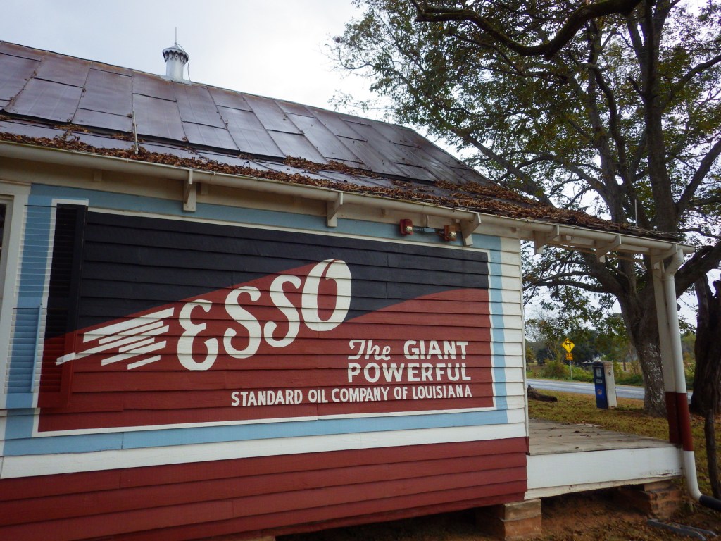
Oakland Plantation dates back to the late 1700s and survived the Civil War intact, but in the wake of Reconstruction tenant farming created a new form of indentured servitude.  Self-guided tours of the site take you through the mule barn, general store, and several cottages.  When we visited in November 2016, park volunteers were only offering one tour per day, but were happy to spend time talking with us inside the old general store.  Slave/tenant quarters are also preserved at Magnolia Plantation downstream, but the main house (which was burned during the Civil War and rebuilt) is privately owned and closed to the public. 

Best Trail

None

Instagram-worthy Photo

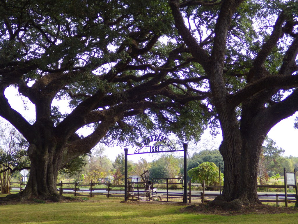
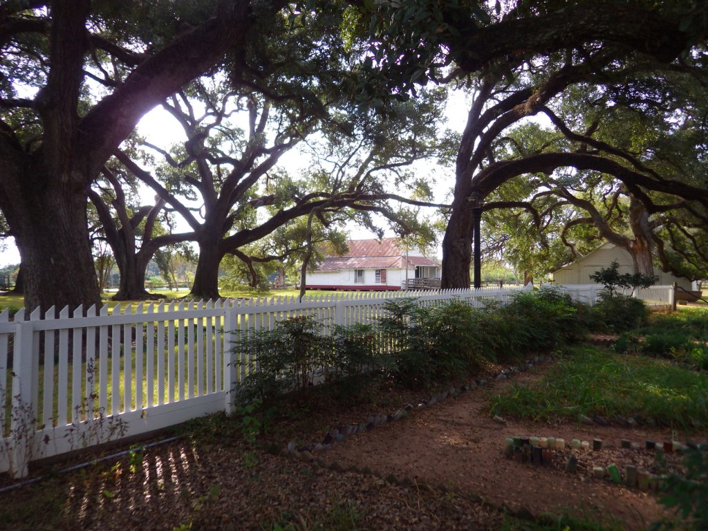
Nothing says you are in the South like the crooked branches of live oak trees.  Live oaks drape over the bottle-lined garden at the Oakland Plantation main house.
Peak Season

Fall

Hours

https://www.nps.gov/cari/planyourvisit/hours.htm

Fees

None

Road Conditions

All roads paved

Camping

Kisatchie National Forest has a small campground three miles north of Natchitoches off State Road 117.

Related Sites

Natchez National Historical Park (Mississippi)

Jean Lafitte National Historical Park and Preserve (Louisiana)

Poverty Point National Monument (Louisiana)

Explore More – Cane River National Heritage Area covers 40,000 acres, but how large is Cane River Creole National Historical Park?
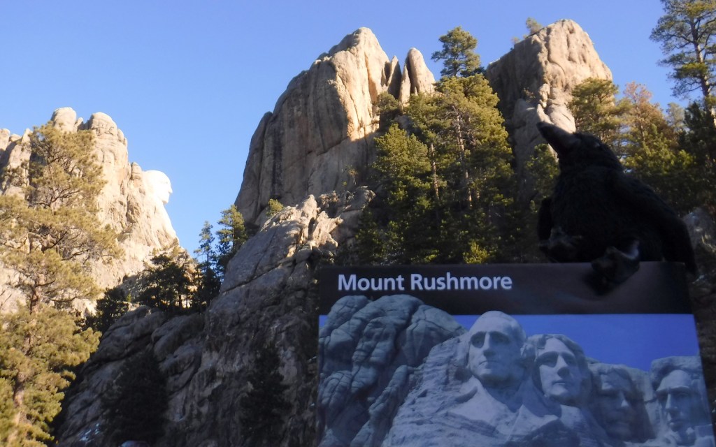
Mount Rushmore National Memorial

Overview

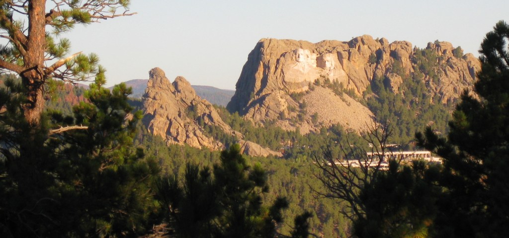
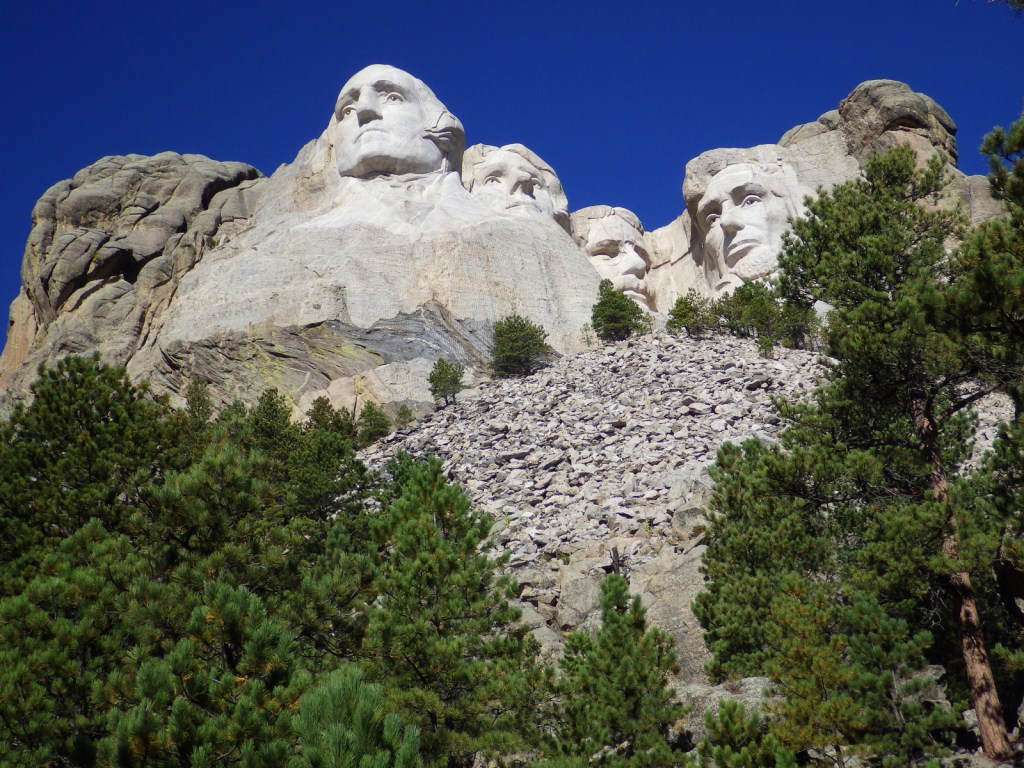
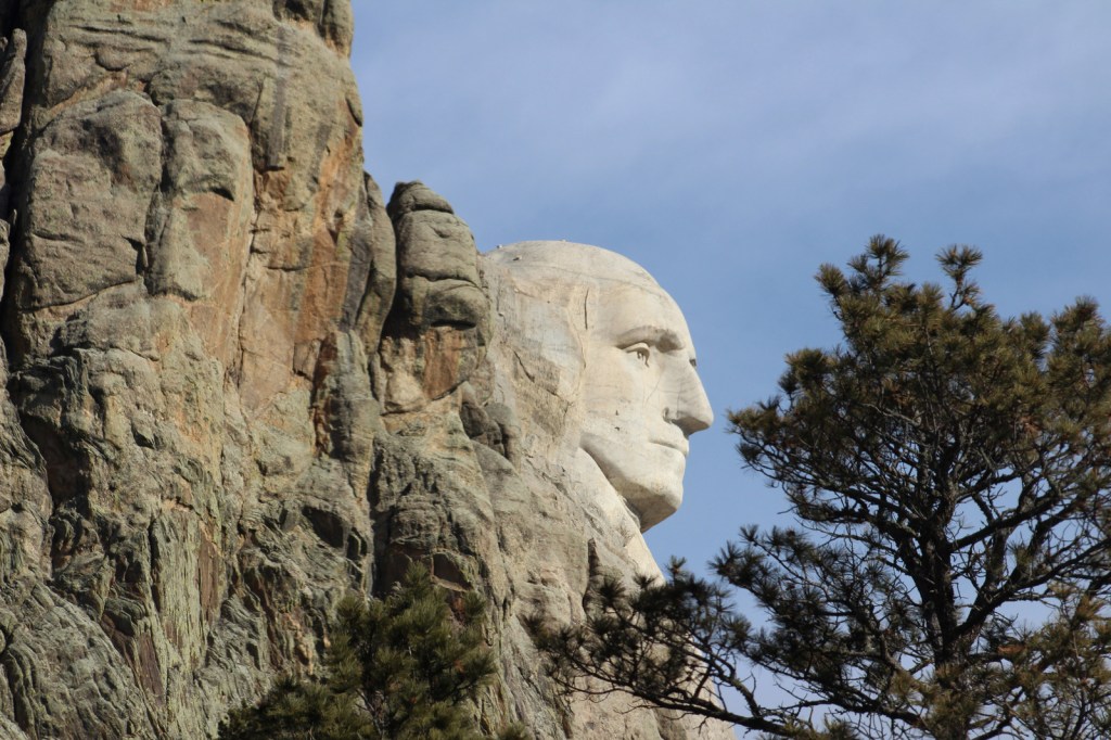
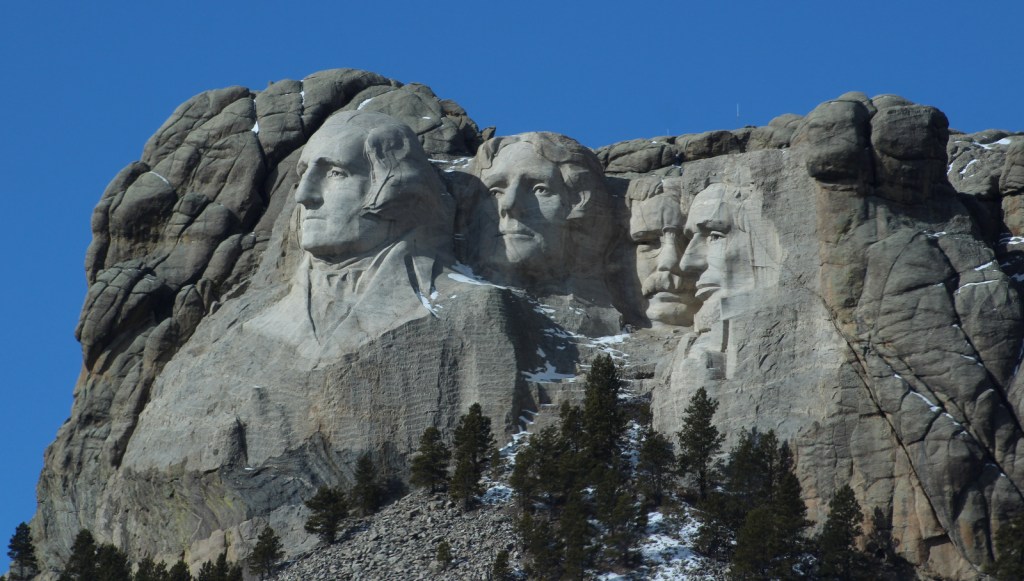
Completed in 1941 after fifteen years of work, this granite outcrop had the 60-foot tall faces of four prominent American presidents blasted and chiseled into its façade.  The mountain is named for a New York attorney who visited the Black Hills to inspect mining claims in 1885.  Sculptor Gutzon Borglum originally carved Thomas Jefferson over George Washington’s right shoulder, but the granite there had flaws and the figure was blasted away.

Highlights

Grand View Terrace, Avenue of Flags, Sculptor’s Studio, Evening Lighting Ceremony

Must-Do Activity

Mount Rushmore National Memorial is inspiring to see during the day, but for the full effect do not miss the Evening Lighting Ceremony offered May to September.  Held in the outdoor amphitheater, this audiovisual presentation is one of the most patriotic events held at a National Park Service (NPS) site. 

Best Trail

Leaving from the Grand View Terrace, the 0.6-mile Presidential Trail forms a loop with 422 stairs that gets closer to the carvings for a unique perspective and access to the Sculptor’s Studio.

Instagram-worthy Photo

If you keep a sharp eye, you may spot mountain goats around the park.  Not native to South Dakota, they were introduced to the Black Hills in 1924 and have successfully adapted to their new environment. 

Peak Season

Summer, especially 4th of July weekend

Hours

https://www.nps.gov/moru/planyourvisit/hours.htm

Fees

No admission fee, but there is a $10 parking fee (America the Beautiful Pass not accepted)

Road Conditions

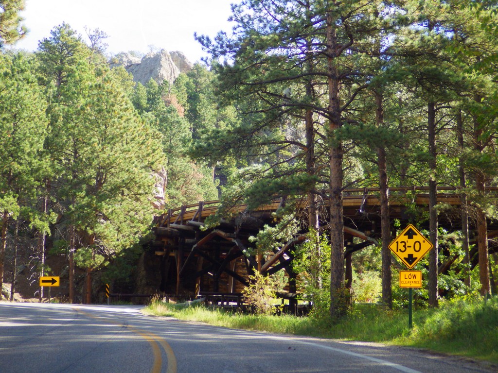
All access roads are paved, but there are size limits on the Norbeck Highway due to tunnels.

Camping

There are campgrounds in Wind Cave National Park, Custer State Park, and Black Hills National Forest.

Related Sites

Jewel Cave National Monument (South Dakota)

Minuteman Missile National Historic Site (South Dakota)

Badlands National Park (South Dakota)

Explore More – In the 1920s, who was the most controversial inclusion of the four presidents featured: Washington, Jefferson, Lincoln, or Roosevelt?

Fire Island National Seashore

Overview

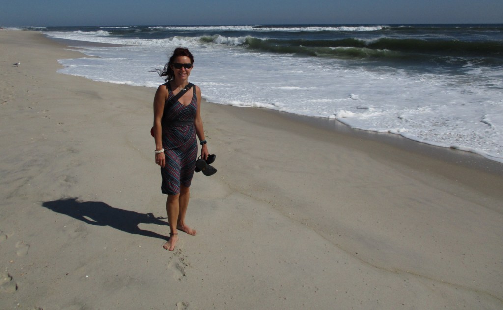
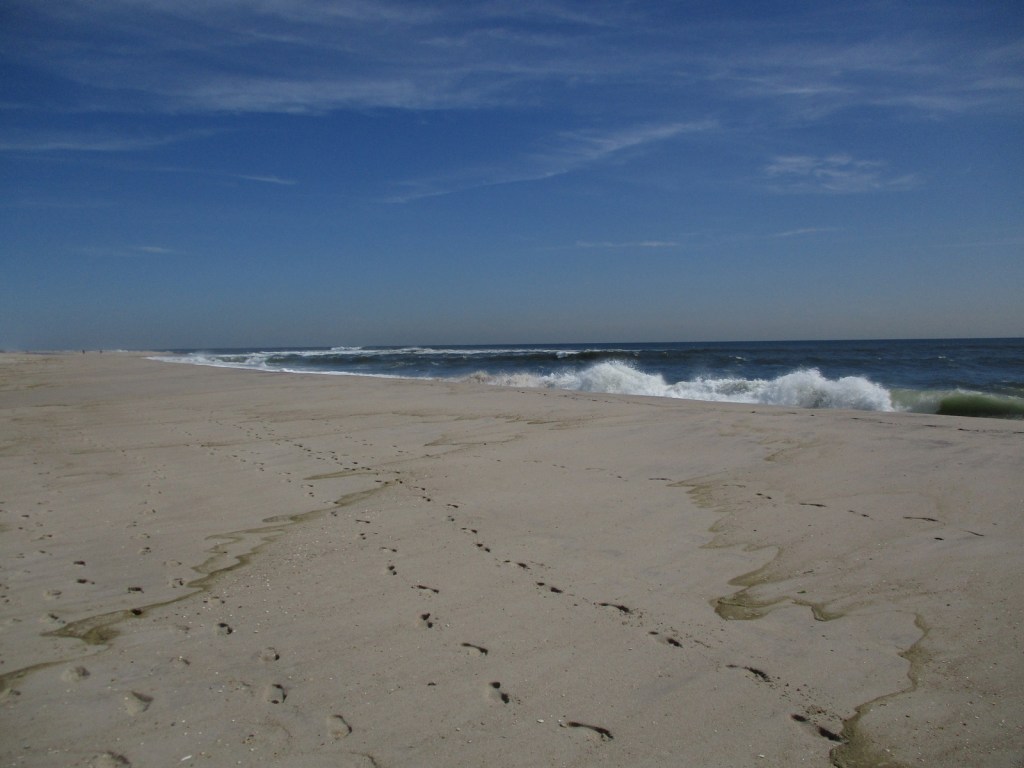
Established in 1964, Fire Island National Seashore stretches across 26 miles of the 32-mile long barrier island off the southern coast of New York’s Long Island.  It encompasses 17 communities that were present when it was created, but otherwise it is mostly roadless and wild.  Backcountry camping is allowed in the Otis Pike Wilderness (1,363 acres), the only federally designated Wilderness area in the state of New York.

Highlights

Fire Island Lighthouse, William Floyd Estate, Sunken Forest Trail, Otis Pike Wilderness

Must-Do Activity

About 2.2-million visitors come to Fire Island annually, but not necessarily to the National Seashore, which is primarily accessed by ferry boats from Long Island.  A short walk down the coast can usually escape the crowds, but be aware that the area around Fire Island Lighthouse is an unofficial nude beach.  Visitors can also tour the home and grounds at William Floyd Estate, a 613-acre historical site on Long Island once home to a signer of the Declaration of Independence.

Best Trail

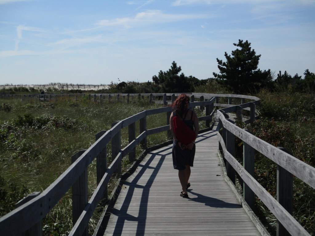
There are nature trails at Fire Island Lighthouse, Sailors Haven, Watch Hill, and Fire Island Wilderness Visitor Centers, plus the beach is wide and good for walking.

Instagram-worthy Photo

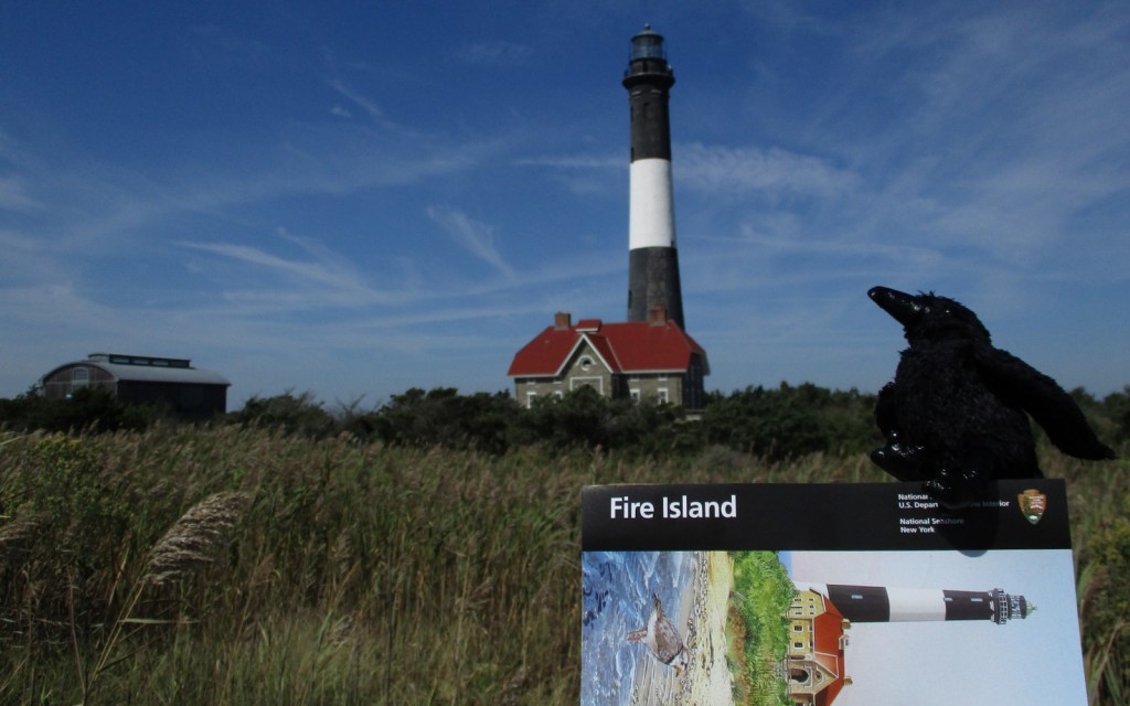
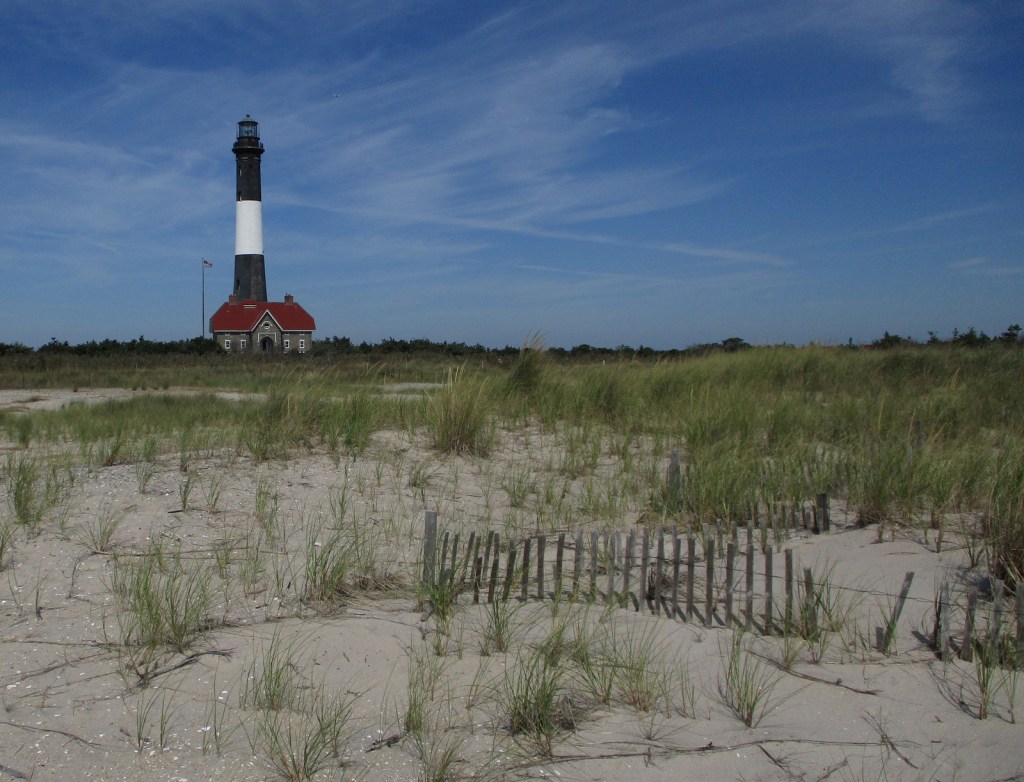
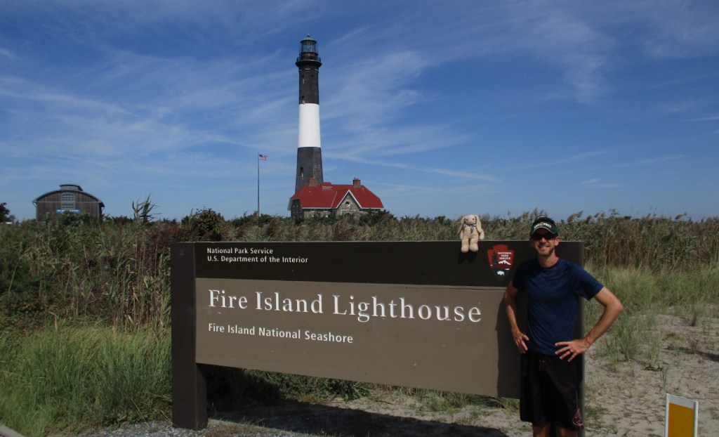
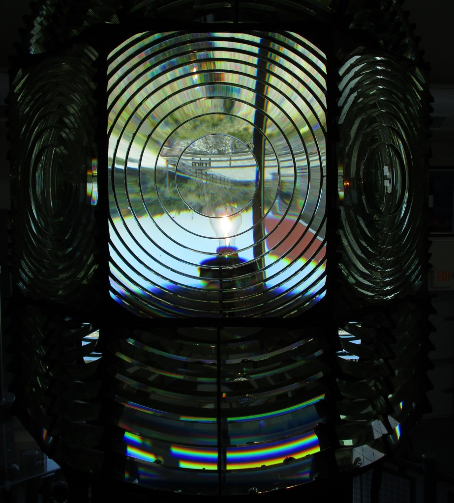
The 167-foot tall Fire Island Lighthouse was built in 1858.  It is run by a nonprofit organization that offers a free museum inside, but charges a fee to climb to the top.

Peak Season

Summer

Hours

https://www.nps.gov/fiis/planyourvisit/hours.htm

Fees

None, except for ferries and to climb to the top of Fire Island Lighthouse

Road Conditions

There are no roads in the National Seashore, but you can drive to the western and eastern edges in Robert Moses State Park and Smith Point County Park, respectively.

Camping

Only reachable by boat, Watch Hill has a campground with restrooms and provides access to backcountry camping in Otis Pike Wilderness (permit required).

Related Sites

Gateway National Recreation Area (New York-New Jersey)

Sagamore Hill National Historic Site (New York)

Cape Cod National Seashore (Massachusetts)

Explore More – How old are the American holly trees that grow along the 1.5-mile Sunken Forest boardwalk trail at Sailors Haven?

Frederick Law Olmsted National Historic Site

Overview

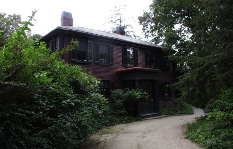
Frederick Law Olmsted, Sr. (1822-1903) is considered the founder of American landscape architecture.  His most famous designs include New York City’s Central Park and the Biltmore Estate in North Carolina, but he also created the protective ramada for Casa Grande Ruins National Monument in Arizona.  This seven-acre site outside Boston, Massachusetts was authorized in 1979 to preserve his house and the Olmsted Archives for future researchers.

Highlights

Museum, film, office tour, Olmsted Archives

Must-Do Activity

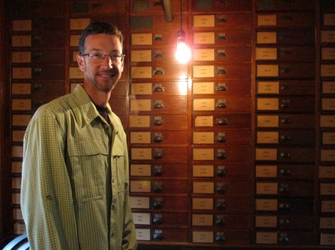
In 1883, Frederick Law Olmsted, Sr. moved to Brookline, Massachusetts to establish the world’s first landscape design office.  Self-guided exhibits and a short film inside his home (called Fairsted) are a good place to start before a ranger-guided tour of his office space full of historical artifacts and documents.  Occasionally, rangers lead tours of some of Olmsted’s parks in “The Emerald Necklace” of Boston.

Best Trail

There is a short path on the property and you can also walk to nearby Brookline Reservoir.

Instagram-worthy Photo

Relax on the veranda of Fairsted before or after your tour, which is especially nice when it is raining like during our visit.

Peak Season

Summer

Hours

https://www.nps.gov/frla/planyourvisit/hours.htm

Fees

None

Road Conditions

All roads are paved, but the parking lot is small and street parking in the surrounding neighborhood may be necessary.  It is a bit of a walk from the Brookline Hills Subway Station.

Camping

Wompatuck State Park south of Boston has the nearest large campground, but camping is also allowed in parts of Boston Harbor Islands National Recreation Area.

Related Sites

Boston National Historical Park (Massachusetts)

Adams National Historical Park (Massachusetts)

Longfellow House – Washington’s Headquarters National Historic Site (Massachusetts)

Explore More –Frederick Law Olmsted’s 1865 report was influential in the protection of which “crown jewel” of the National Park Service System?

Arches National Park

Overview

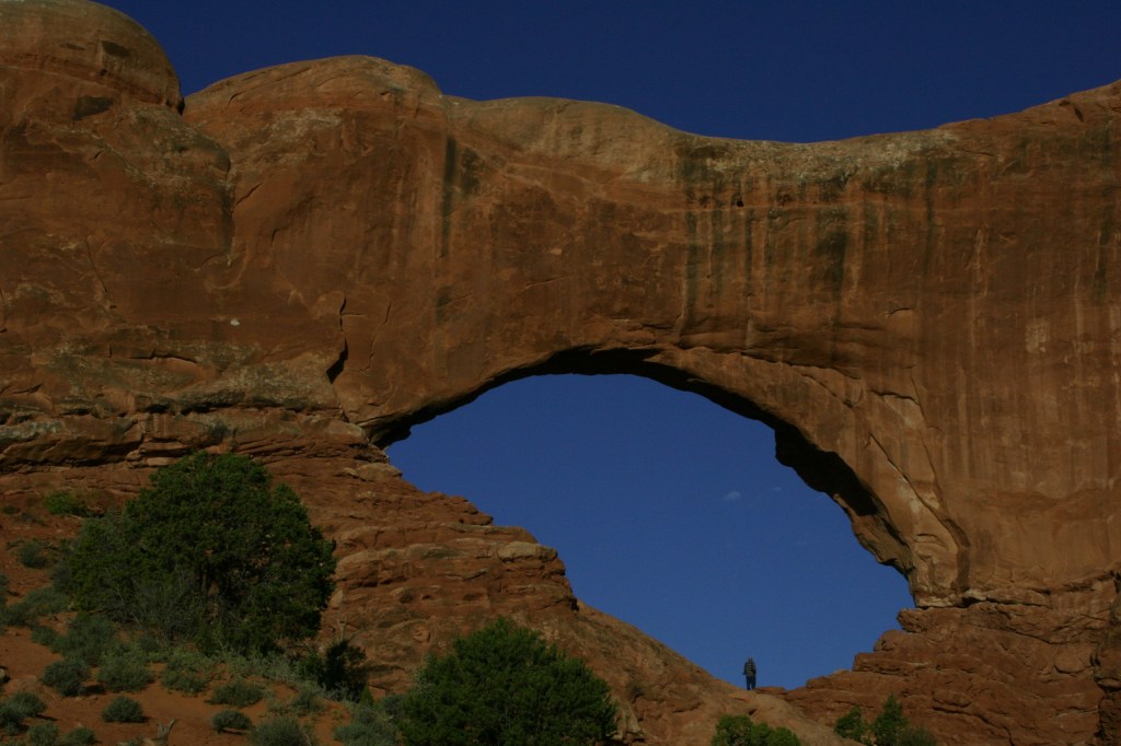
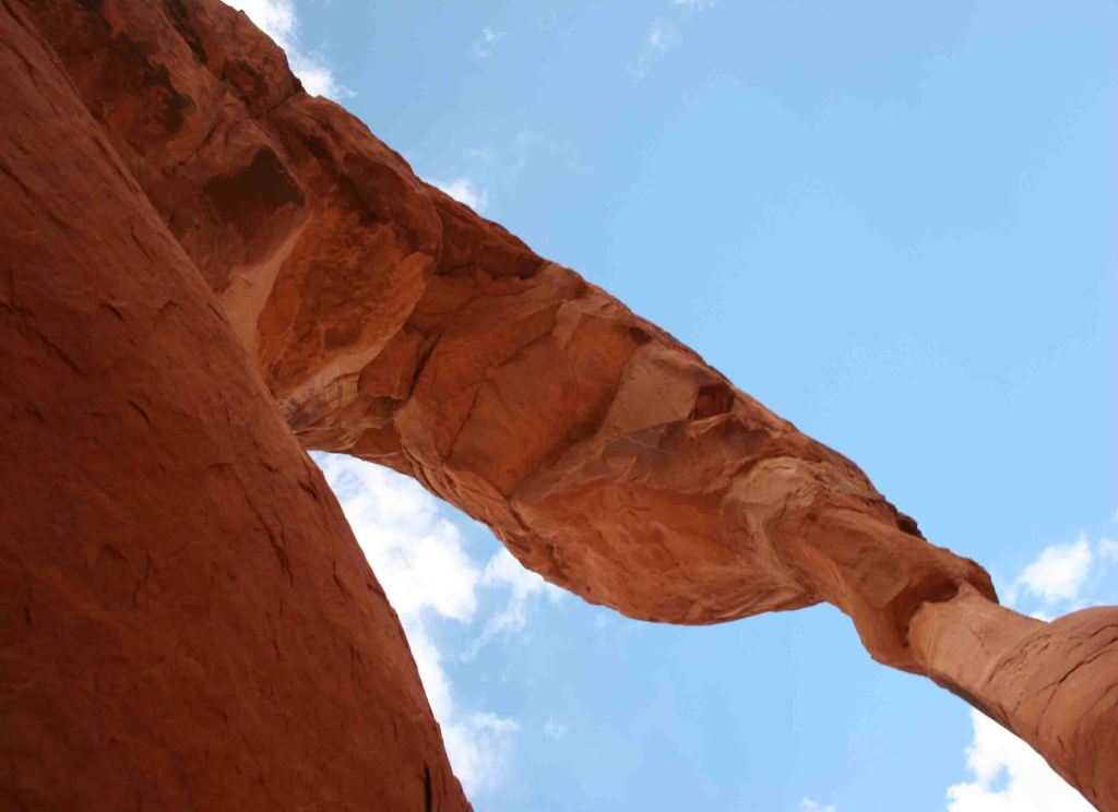
Arches National Park in Moab, Utah is home to 2,500 wind-carved holes in its famed orange sandstone, ranging in size from a minimum of three feet to 290-foot wide Landscape Arch (the fifth longest span in the world).  As opposed to natural bridges which are carved by flowing water, arches are primarily wind formed, although water and ice can contribute. 

Learn more in our guidebook to the National Parks, A Park to Yourself: Finding Adventure in America’s National Parks (available on Amazon).

Highlights

Delicate Arch, Balanced Rock, Landscape Arch, Fiery Furnace, Devils Garden Trail

Must-Do Activity

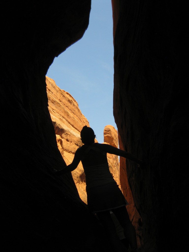
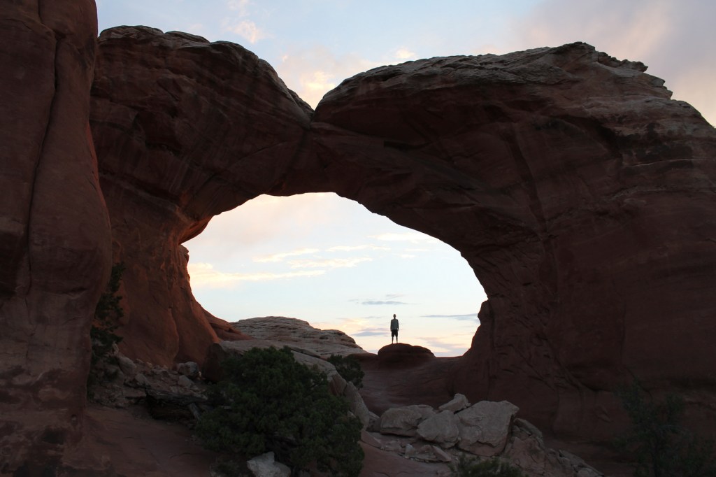
We recommend you reserve a spot on a ranger led hike through the twisting labyrinth of Fiery Furnace (additional fee).  You can get a permit to go alone, but we are glad we had a guide or we might still be trying to find our way out.  The beautiful red rocks really show their color at sunrise and sunset, so find a nice place to watch the show when you come.  As depicted on the state license plate for Utah, Delicate Arch is a popular venue for sunsets.

Best Trail

When the crowds in the park overwhelm you, take the easy 8.3-mile drive down dirt Salt Valley Road to the trailhead for less visited Tower Arch.  Seeing Tower Arch is worth the strenuous 3.4-mile roundtrip hike, but it can be hard to photograph.

Instagram-worthy Photo

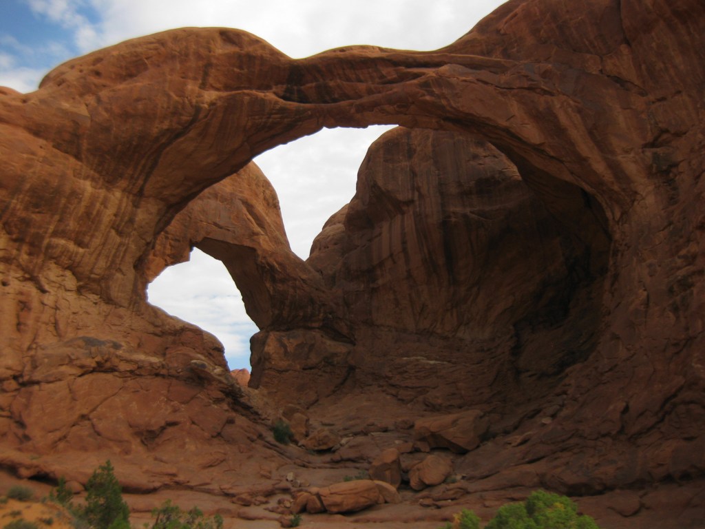
Double Arch is located near the North and South Windows and photographs well in the late afternoon.

Peak Season

Spring and fall

Hours

https://www.nps.gov/arch/planyourvisit/hours.htm

Fees

$30 per vehicle or America the Beautiful pass

Road Conditions

The main road that dead ends at Devils Garden is paved, but there are some dirt roads in the park that require four-wheel-drive, high-clearance vehicles.

Camping

Devils Garden Campground is a great place to spend the night, with easy trail access to Broken Arch and Sand Dune Arch.  The public land around Moab under the jurisdiction of the Bureau of Land Management is often overrun by dispersed campers.

Related Sites

Canyonlands National Park (Utah)

Natural Bridges National Monument (Utah)

Capitol Reef National Park (Utah)

This design we created to celebrate Joshua Tree National Park is available on a variety of products at Cafe Press and Amazon.

Explore More – At 290 feet, Landscape Arch is the fifth longest span in the world; what country contains the four larger arches?

We are a participant in the Amazon Services LLC Associates Program, an affiliate advertising program designed to provide a means for us to earn fees by linking to Amazon.com and affiliated sites.