Fremont National Forest
Oregon
Managed by U.S. Forest Service, Pacific Northwest Region
1,713,891 acres (1,207,039 federal/ 506,852 other)
Website: https://www.fs.usda.gov/fremont-winema
Overview
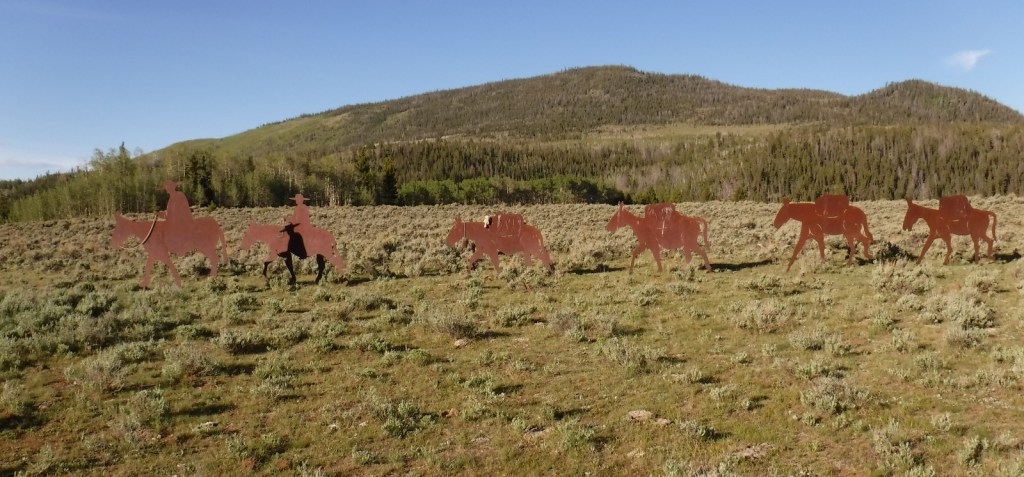
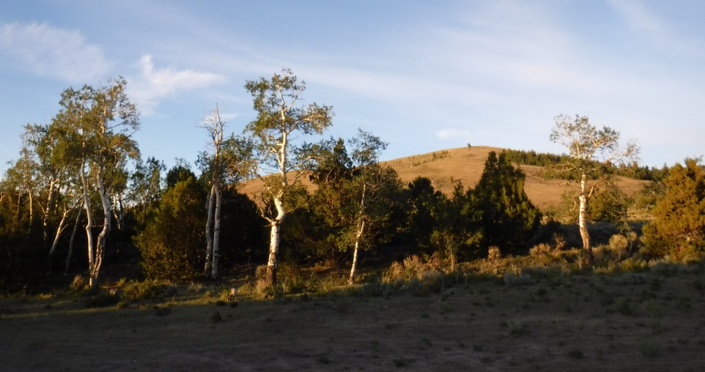
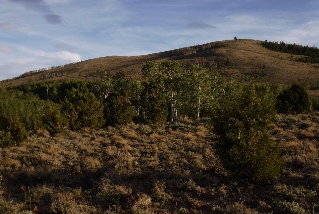
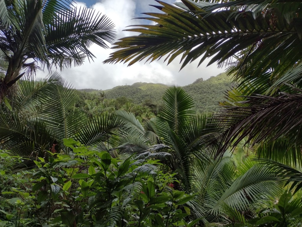
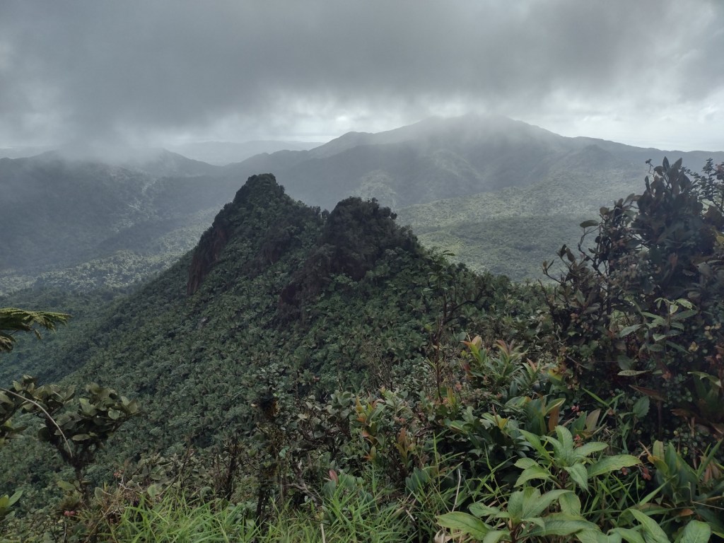
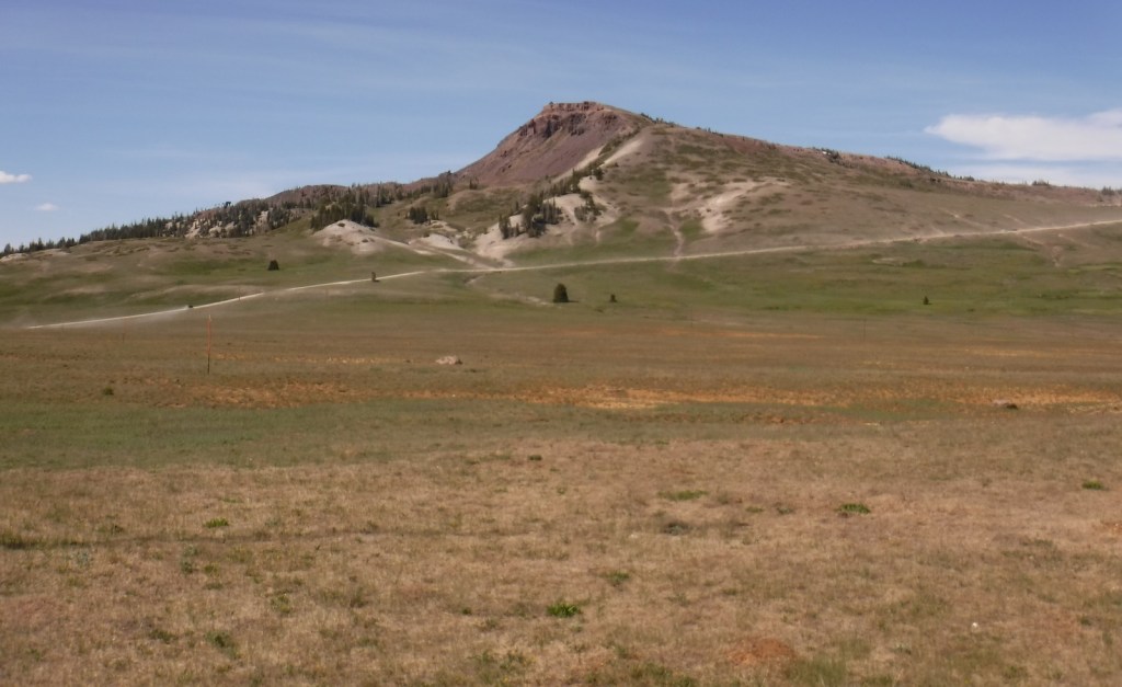
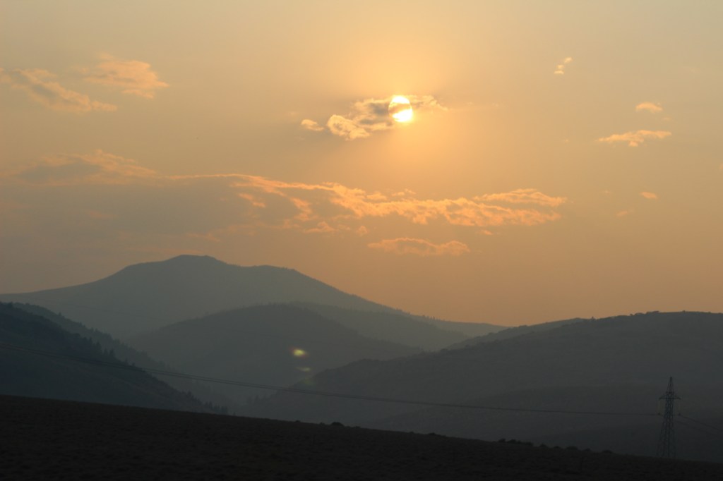
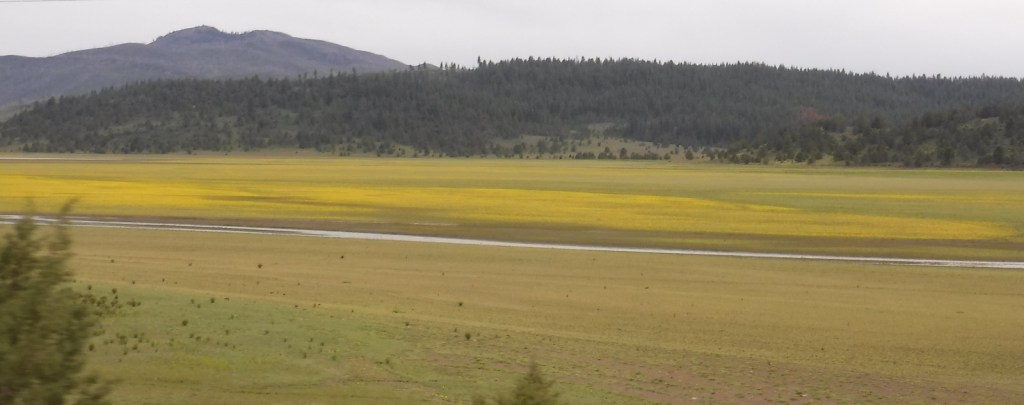
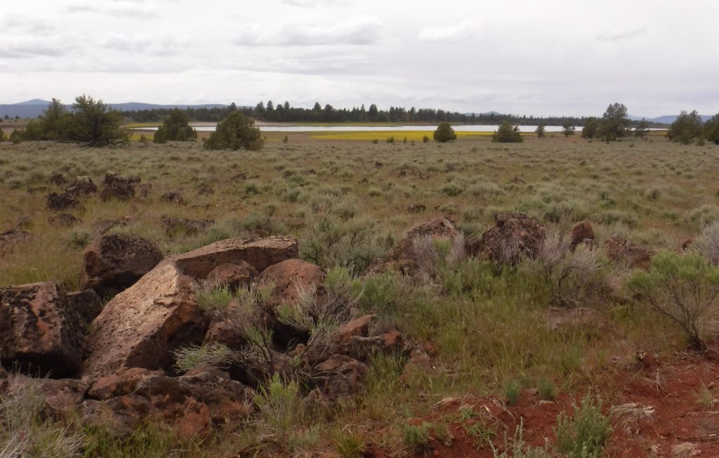
In central Oregon, the sagebrush-dominated high desert is also known as the Oregon Outback because of its rural resemblance to the arid Australian bush. Fremont National Forest encompasses the wooded mountains that rise to the west above Lake Abert and Summer Lake in the Warner Valley, an important wetland area for wildlife. In addition, a separate section located to the southeast covers the Warner Mountains and Abert Rim. The cliffs of Hadley Butte are popular with hang gliders. The Mitchell Monument honors the six American civilians who lost their lives during World War II when a Japanese balloon bomb exploded after traveling 6,000 miles.
Highlights
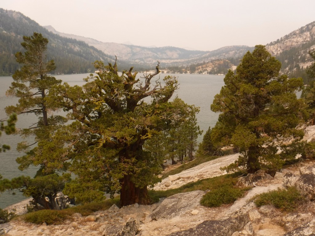
Oregon Outback Scenic Byway, Goodlow Mountain Natural Area, Drake Peak Lookout, North Warner Viewpoint, Abert Rim, Heart Lake, North Fork of Sprague National Wild and Scenic River, Mitchell Monument, Cottonwood Lake, Crane Mountain National Recreation Trail, Fremont National Recreation Trail, Gearhart Mountain Trail
Must-Do Activity
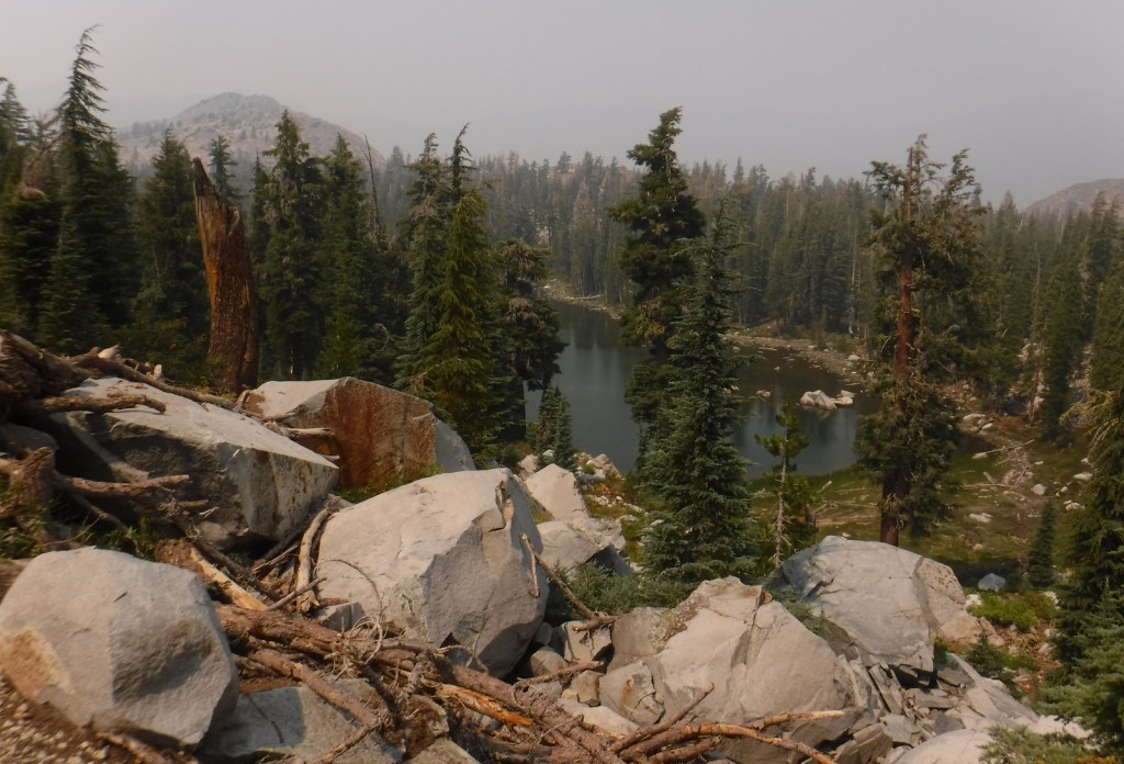
While it is not an official trail, the 4.6-mile out-and-back hike to Coleman Rim does have a good payoff with views of the Chewaucan River Valley. It is reached by driving nine miles up paved Forest Road 3360 from Highway 140, then turning right for two miles on gravel Forest Road 024 to Shepard Camp Creek. From there, you start hiking north to the head of Shepard Camp Meadow, while watching for black-tailed deer, sandhill cranes, and the numerous cattle that frequent this area. At that point, the route starts to gain elevation as it turns east through a forest of ponderosa pine, Sierra white fir, and western white pine trees. You will likely have to climb over a few downed trees as you navigate toward the rocky Coleman Rim that sits above 7,000 feet in elevation.
Best Trail
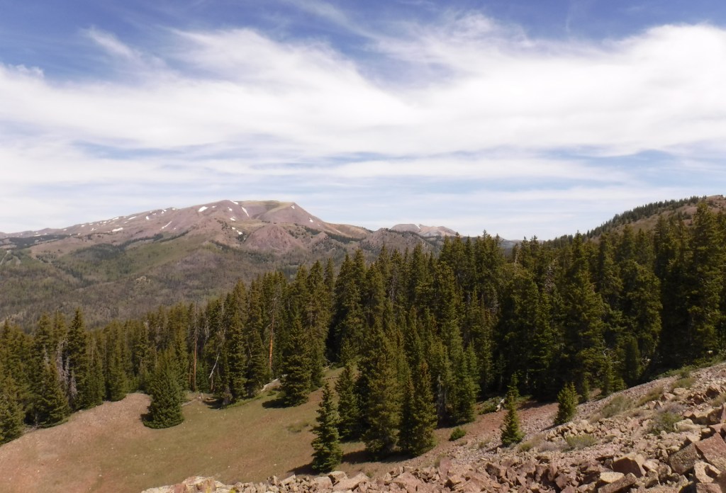
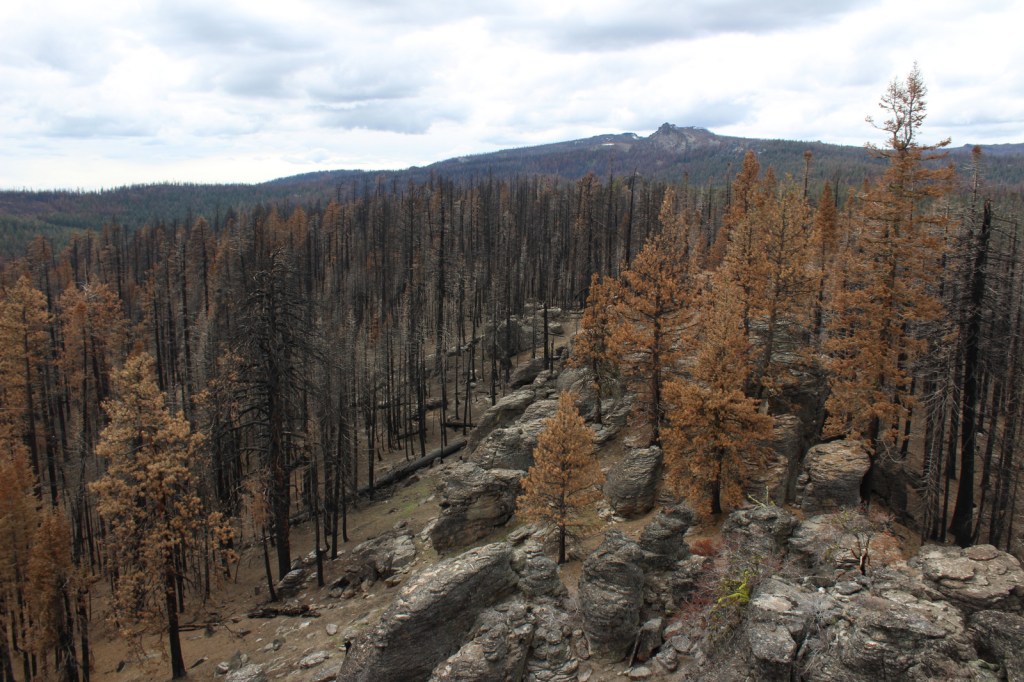
After the Bootleg Fire swept through the area between our 2020 and 2022 visits, it was amazing to see the differences around Gearhart Mountain. We drove as far up the mountain as we could to Lookout Rock Trailhead, parking at the edge of the Gearhart Mountain Wilderness, walking up the gated road to a fire lookout tower that remained unburnt on its rocky ridgetop. It was difficult to the follow the official Gearhart Mountain trail because of downed trees and the blanket of dead needles on the forest floor, but it was worth a look around to see the fire’s aftermath (please exercise caution due to the hazards of standing dead trees). The trail accesses the volcanic Palisade Rocks within one mile from the trailhead.
Watchable Wildlife
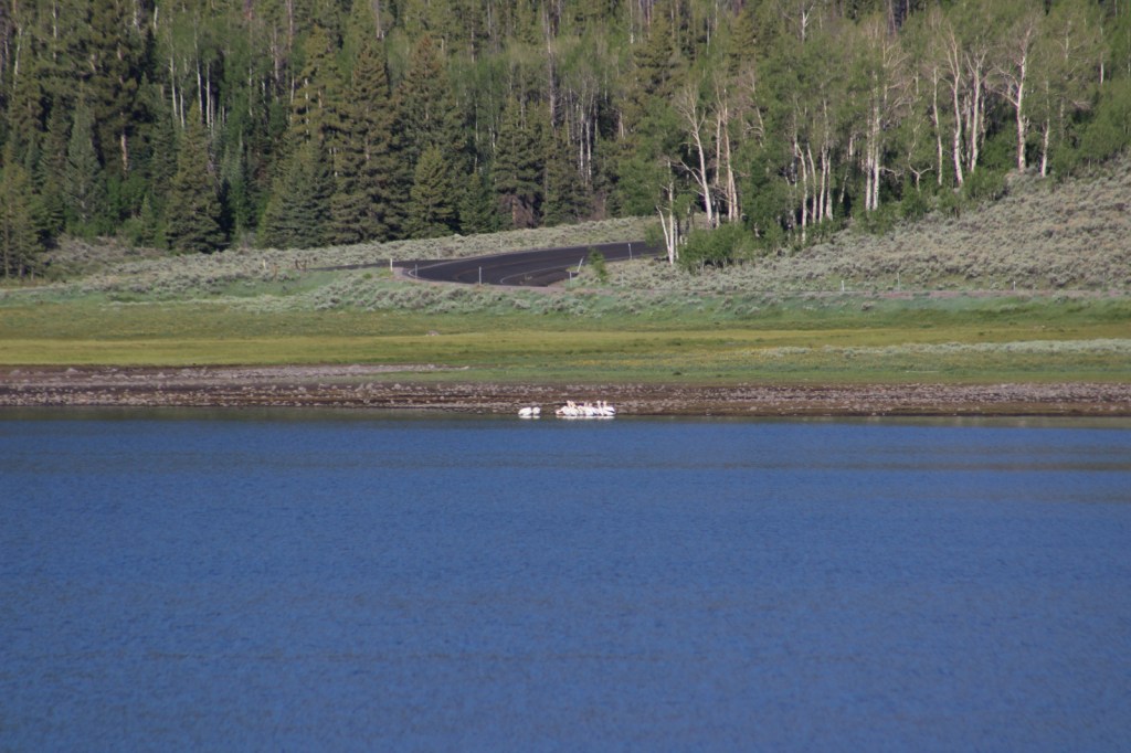
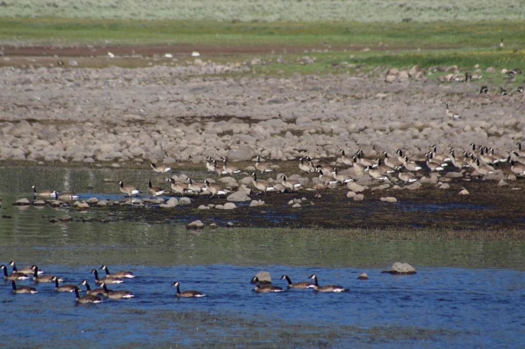
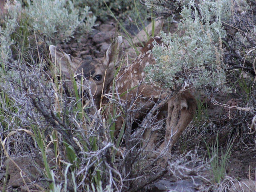
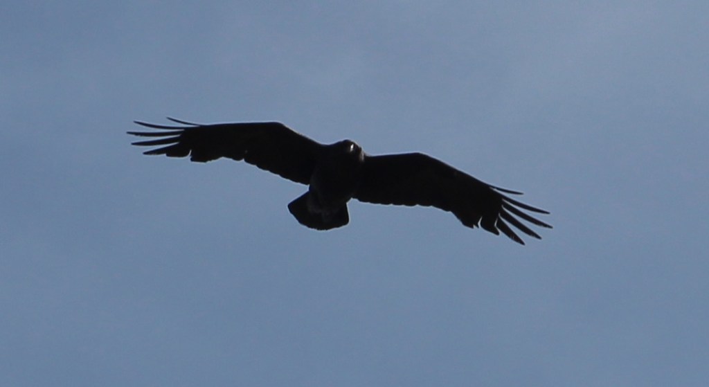
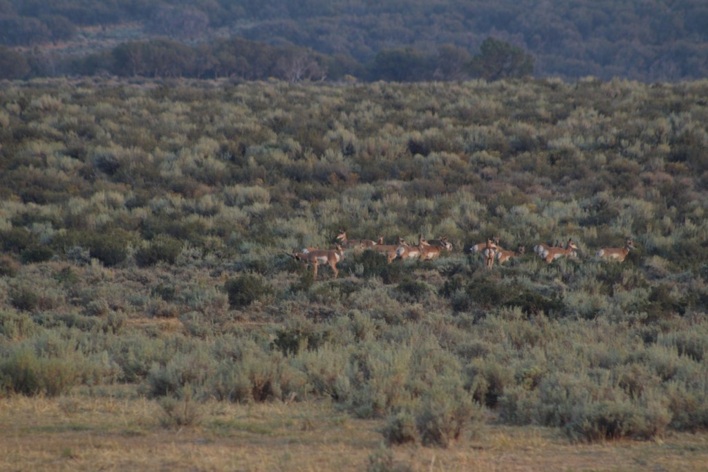
Mule deer, elk, and pronghorns are large ungulates found in Fremont National Forest, sharing habitat with carnivores like black bears, coyotes, mountain lions, and bobcats. The National Forest borders Summer Lake and several large wetlands that are important stops for migrating birds on the Pacific Flyway. Commonly seen waterfowl are Canada geese, mallards, and whistling swans, and the elusive northern spotted owl nests in old-growth forests. There are largemouth bass in the lakes, while streams support several species of trout, including the threatened bull trout.
Instagram-worthy Photo
Nearly 10,000 Fugo balloons were launched by the Japanese during World War II, but only one caused casualties, killing six American civilians when it exploded on May 5, 1945. At the Mitchell Monument, you can read their story and see a ponderosa pine tree that still contains shrapnel from the balloon bomb.

Peak Season
Summer
Fees
None
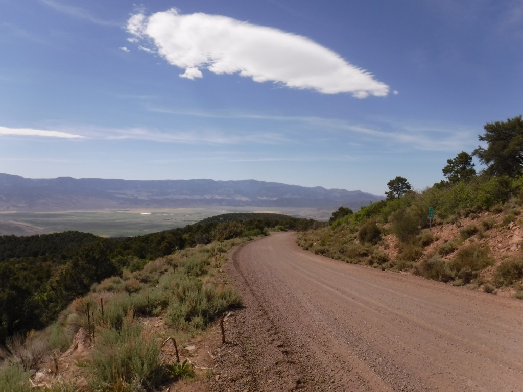
Road Conditions
Paved Highway 140 runs east-west through the heart of the National Forest, while Highway 395 splits a separate southeastern section on the California border. We found unpaved Forest Road 34 to be full of potholes, but it got better the further east we went towards the Mitchell Monument and Gearhart Mountain. Even after the 2021 fire, we found Forest Road 3660 to the Coleman Rim to be a good gravel road, while Forest Road 024 was a bit overgrown.
Camping
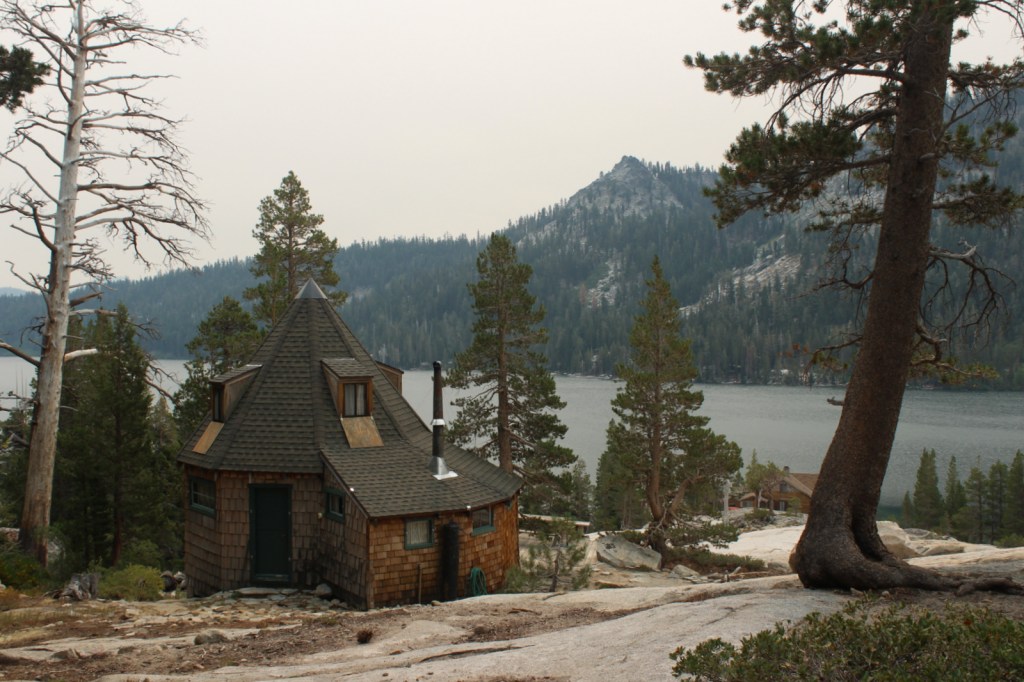
This is a good National Forest for dispersed camping, but we also passed Corral Creek Campground on our way up to Gearhart Mountain and Cottonwood Recreation Area offers a campground on a lake. Rentals are available in the summer for the Drake Peak Lookout, Currier Guard Station, and Bald Butte Lookout.
Wilderness Areas
Gearhart Mountain Wilderness
Related Sites
Deschutes National Forest (Oregon)
Winema National Forest (Oregon)
Newberry National Volcanic Monument (Oregon)
Nearest National Park
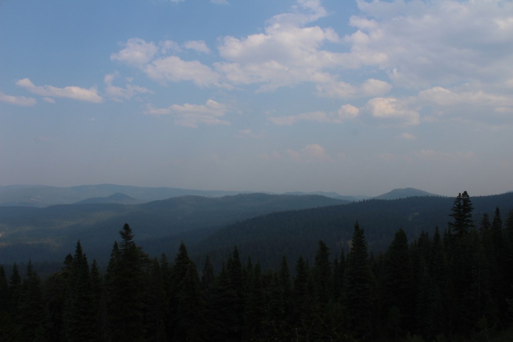


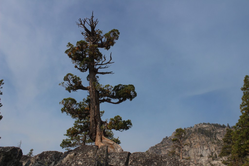
ponderosa pine, western white pine, lodgepole pine, Douglas-fir, Engelmann spruce, white fir, western juniper
quaking aspen, curlleaf mountain-mahogany, willow, sagebrush
Explore More – The National Forest is named after John C. Fremont who explored this area for the U.S. Army Corps of Engineers and went on to take control of the California Republic (for which he was convicted of mutiny and later pardoned), serve as a U.S. Senator, run twice for President, and then resign while Governor of what U.S. territory?

Learn more about this and the 154 other National Forests in our new guidebook Out in the Woods
We are a participant in the Amazon Services LLC Associates Program, an affiliate advertising program designed to provide a means for us to earn fees by linking to Amazon.com and affiliated sites.