Navajo National Monument
Arizona
Managed by National Park Service
Established 1909
360 acres
Website: nps.gov/nava
Overview
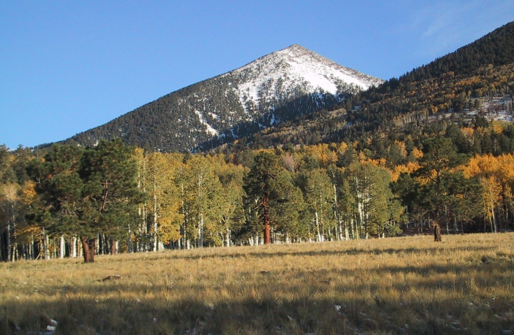
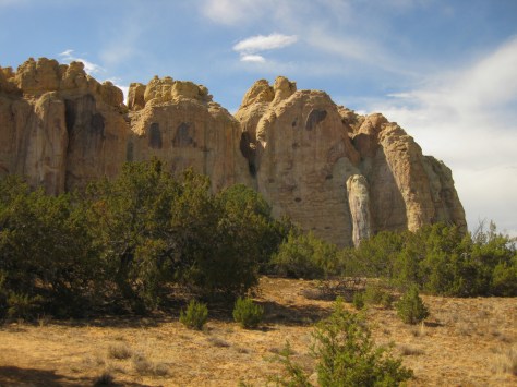
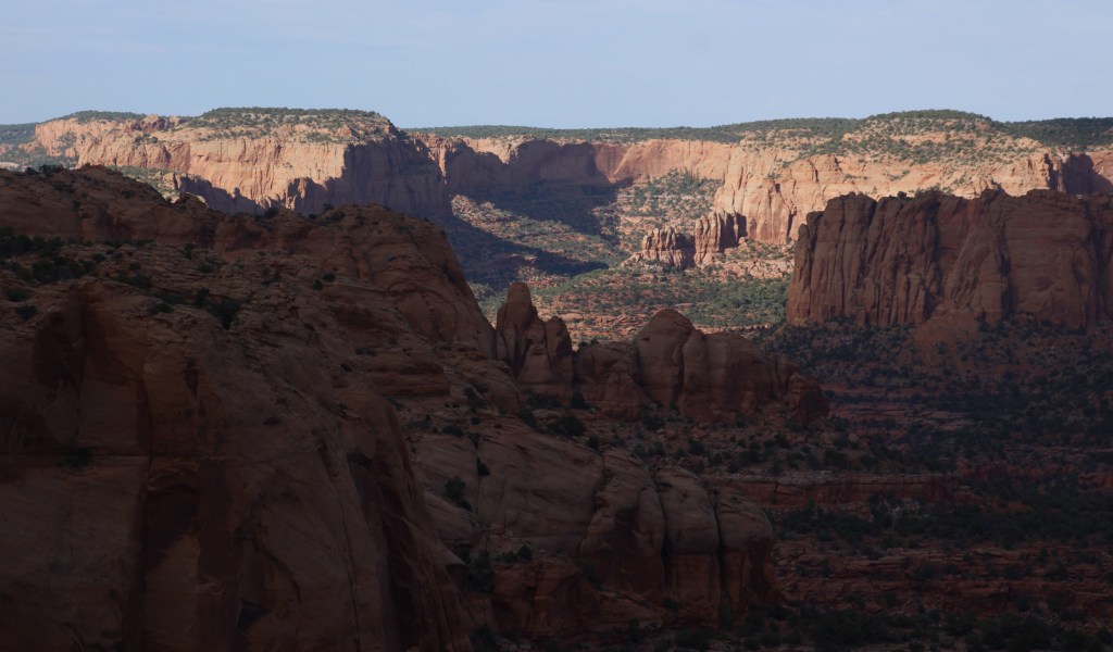
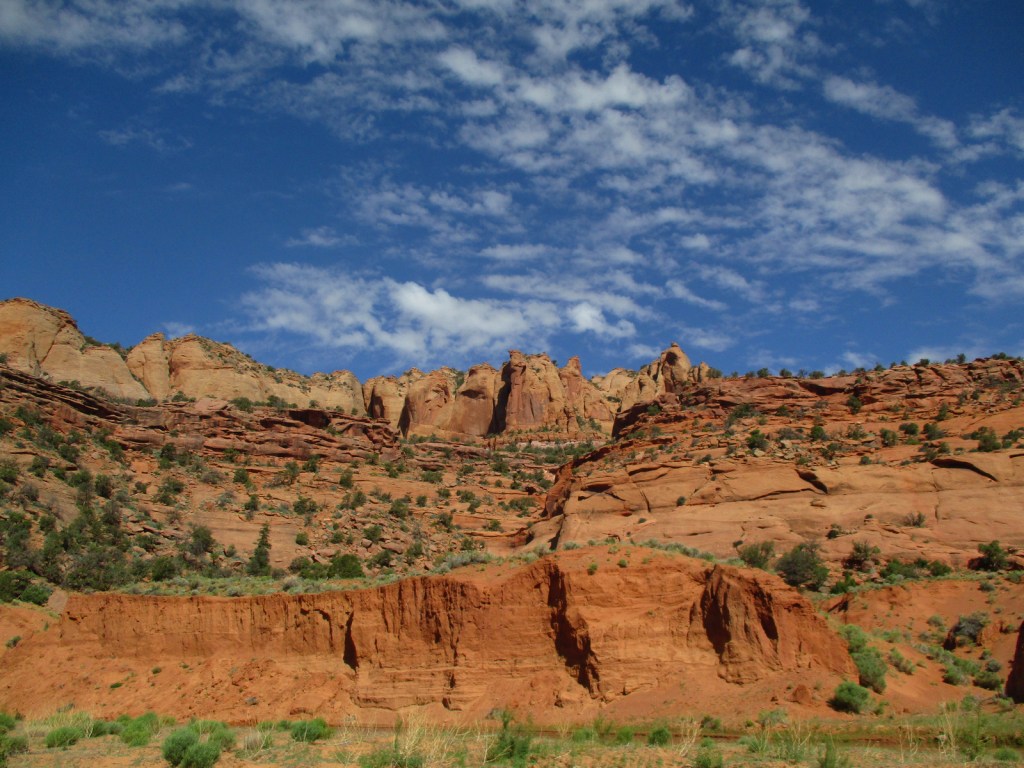
Navajo National Monument was created to protect the Keet Seel ruin on the Navajo Nation, although the Ancestral Puebloan people who lived here in the 1200s are more closely related to the Hopi and Zuni. Three years later, the ruins at Betatakin and Inscription House (closed to the public) were added to the National Monument. We had such a great visit that we had to add it to his list of Top 10 National Monuments.
Learn more about the other 137 National Monuments in our book Monumental America: Your Guide to All 138 National Monuments. It is now available for sale on Amazon.com.

Highlights
Tsegi Point Overlook, museum, film, Sandal Trail, Keet Seel overnight trip
Must-Do Activity
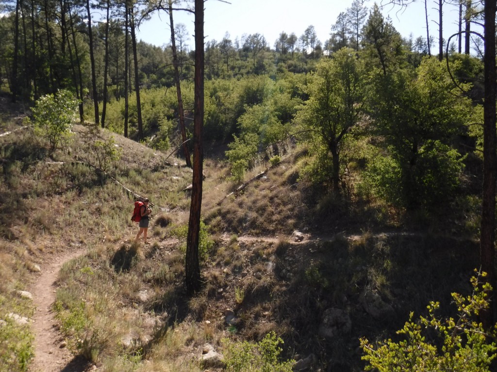
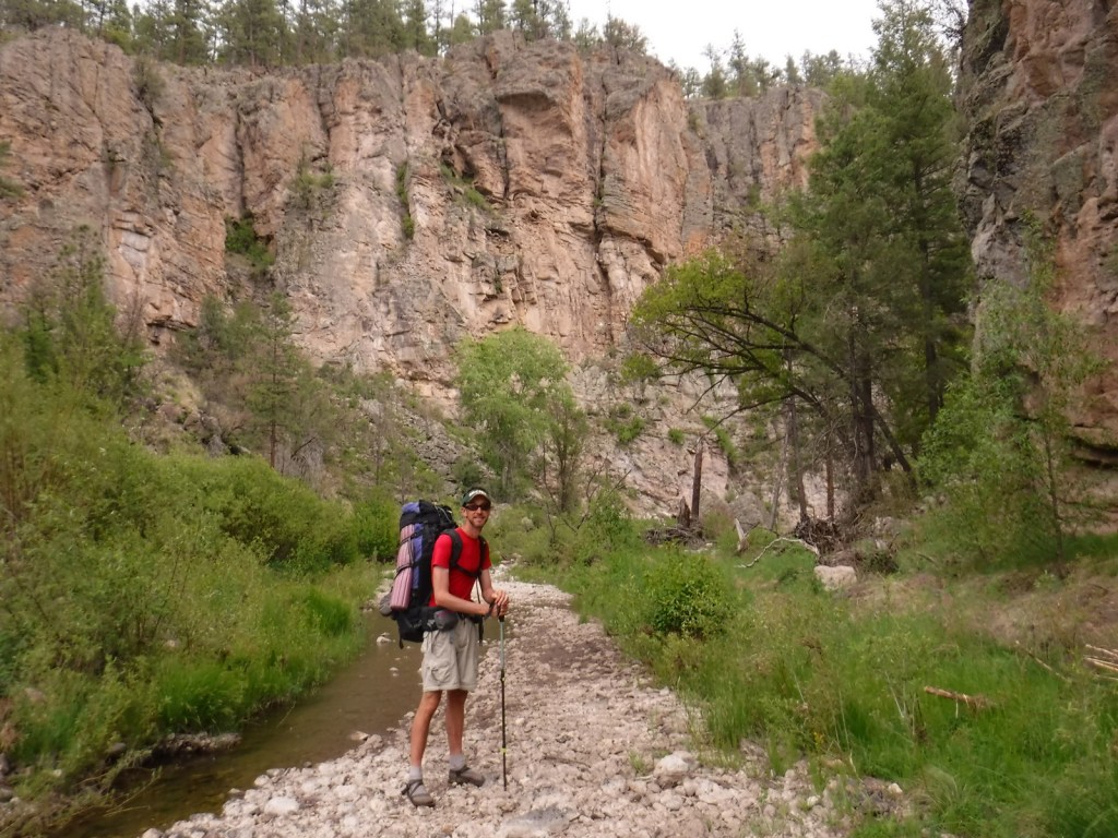
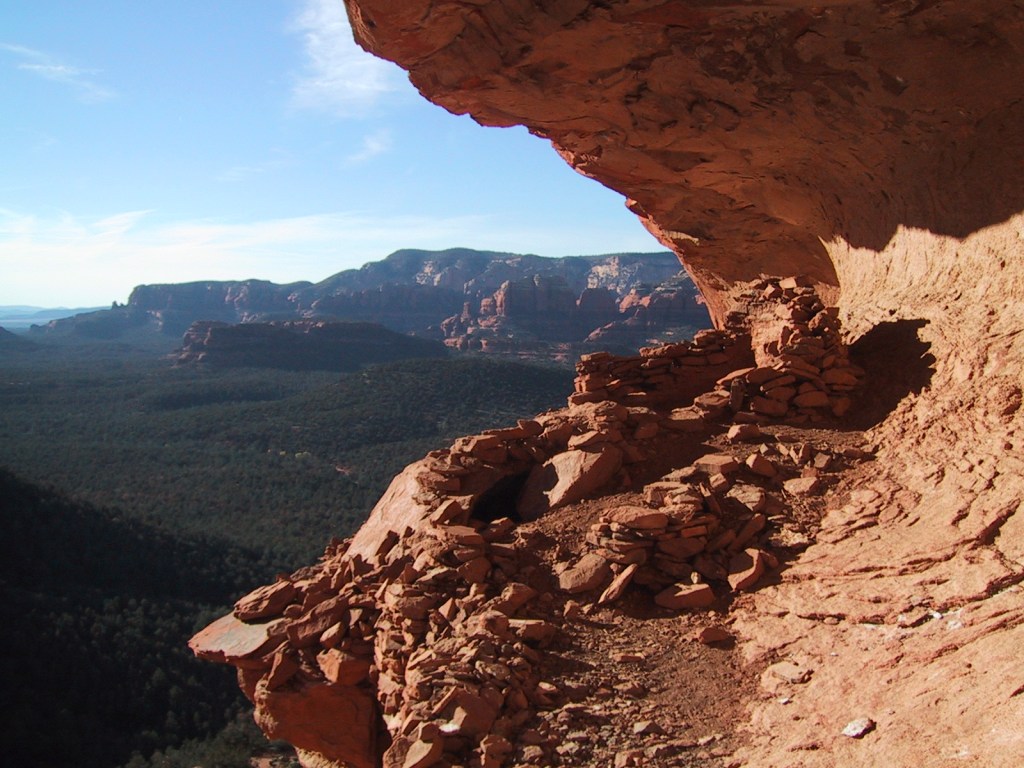
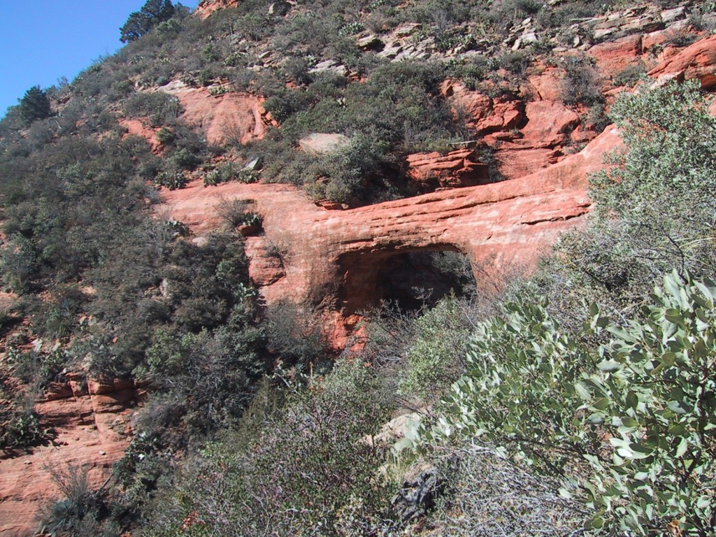
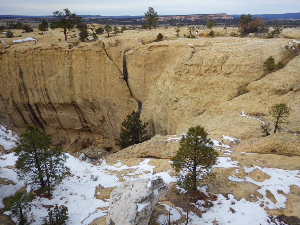
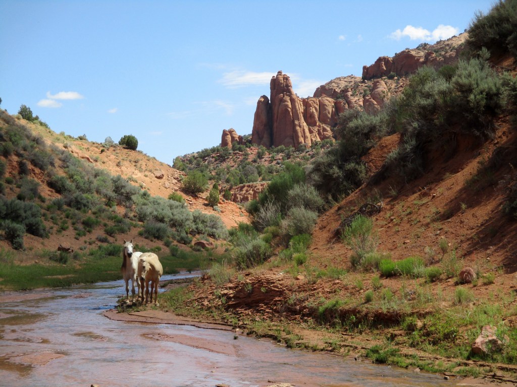
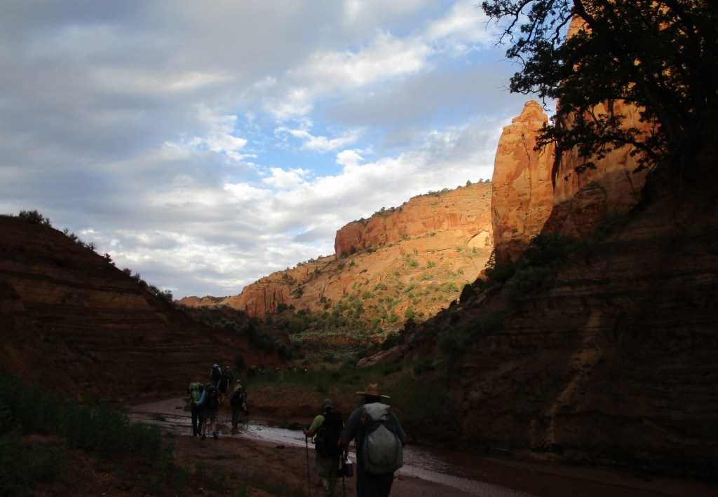
During the pandemic, the National Park Service (NPS) closed all access to the ruins until 2023, but visitors can now reserve spots on the 20-person ranger-led backpacking trips to Keet Seel that are offered twice per month in the summer. This strenuous trip covers 17 miles total with numerous stream crossings and all water must be carried in. The hardest part is at the end, when a 1,000 foot climb awaits, but it is worth it to be one of the few who get to see Keet Seel, the 150-room ruin that is second in size only to Cliff Palace at Mesa Verde National Park. You also get to eat lunch at a surprisingly large waterfall in Keet Seel Canyon. For those looking for a shorter five-mile trip with only 580 feet elevation change, weekend day hikes to Betatakin are led by park rangers (sign up the day before on a first-come, first-served basis).
Best Trail
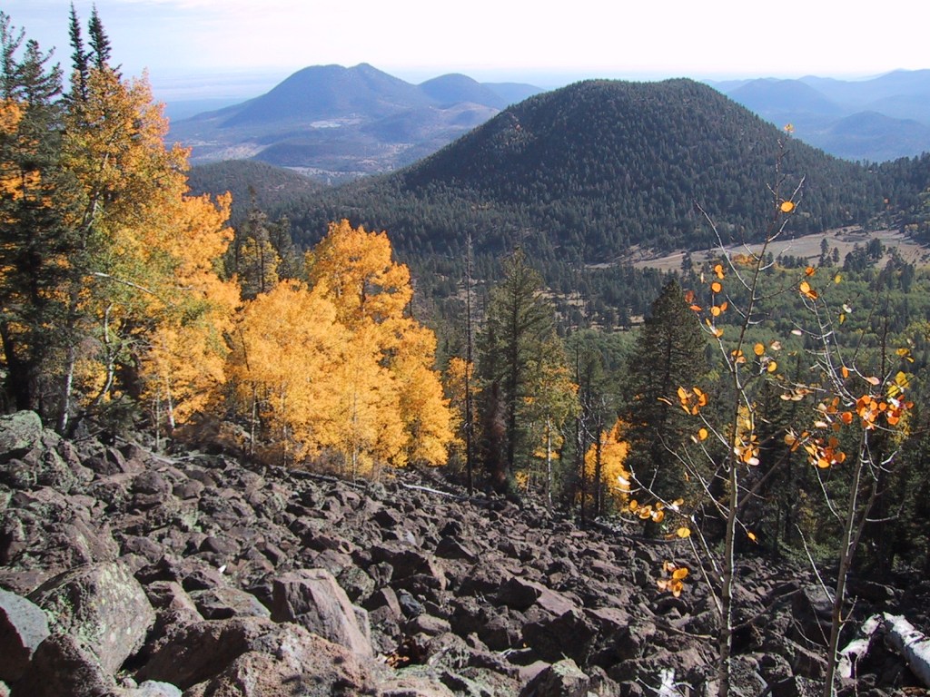
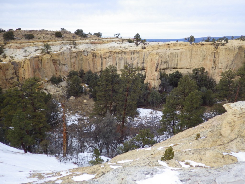
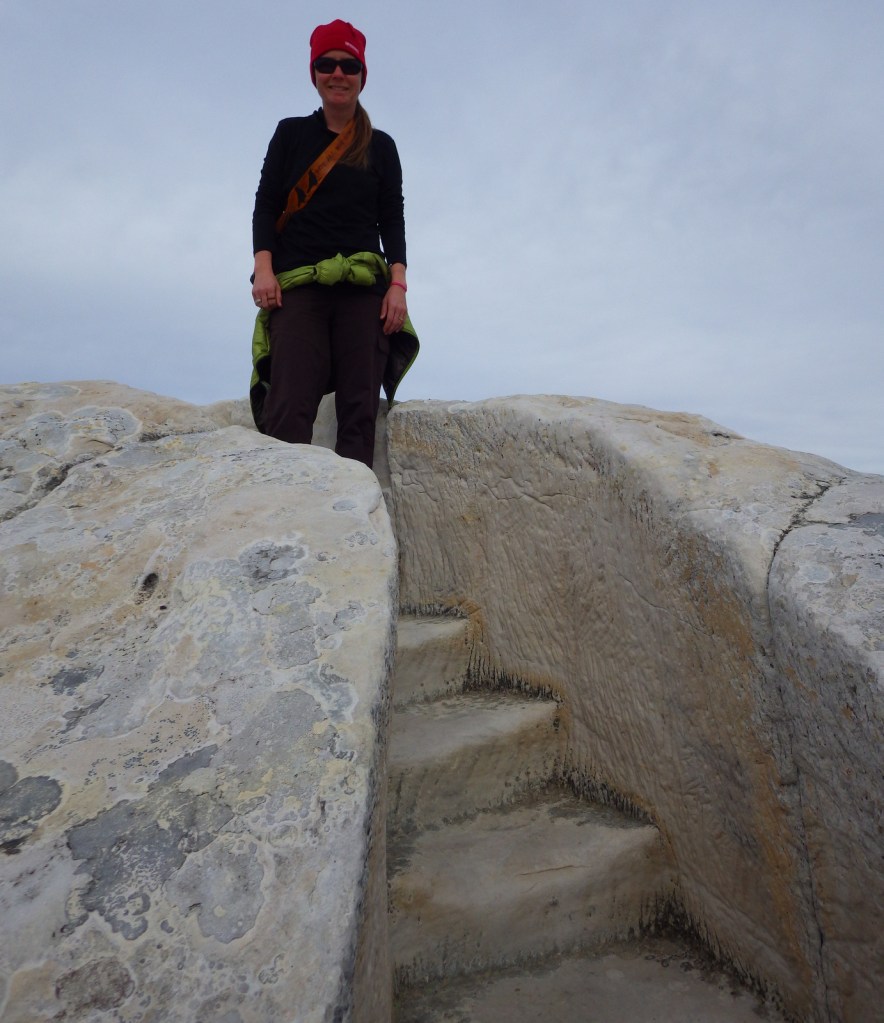
From the NPS visitor center (which is actually on Navajo land outside the National Monument boundary), the paved Sandal Trail follows the canyon rim to an overlook of the Betatakin cliff dwelling. There are signs explaining the local plant species and their uses by indigenous people on the 1.3-mile out-and-back trail. The 0.8-mile roundtrip Aspen Trail and 0.8-mile Canyon View Trail also leave from the visitor center.
Photographic Opportunity
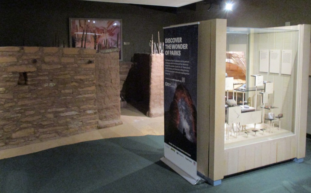
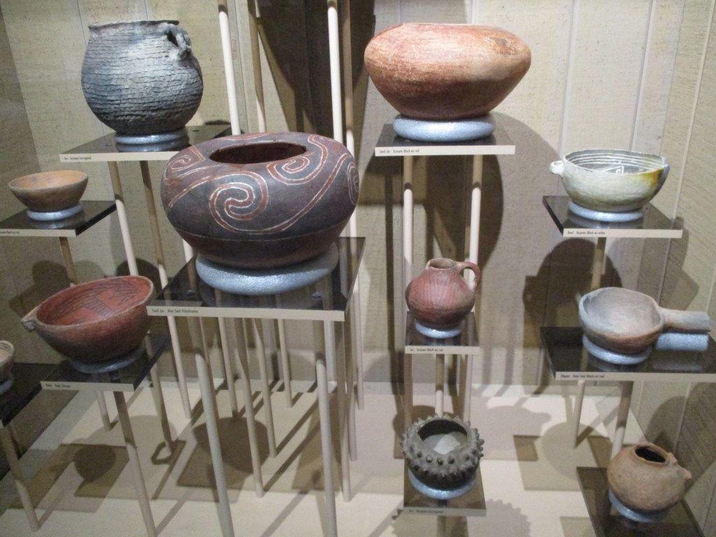
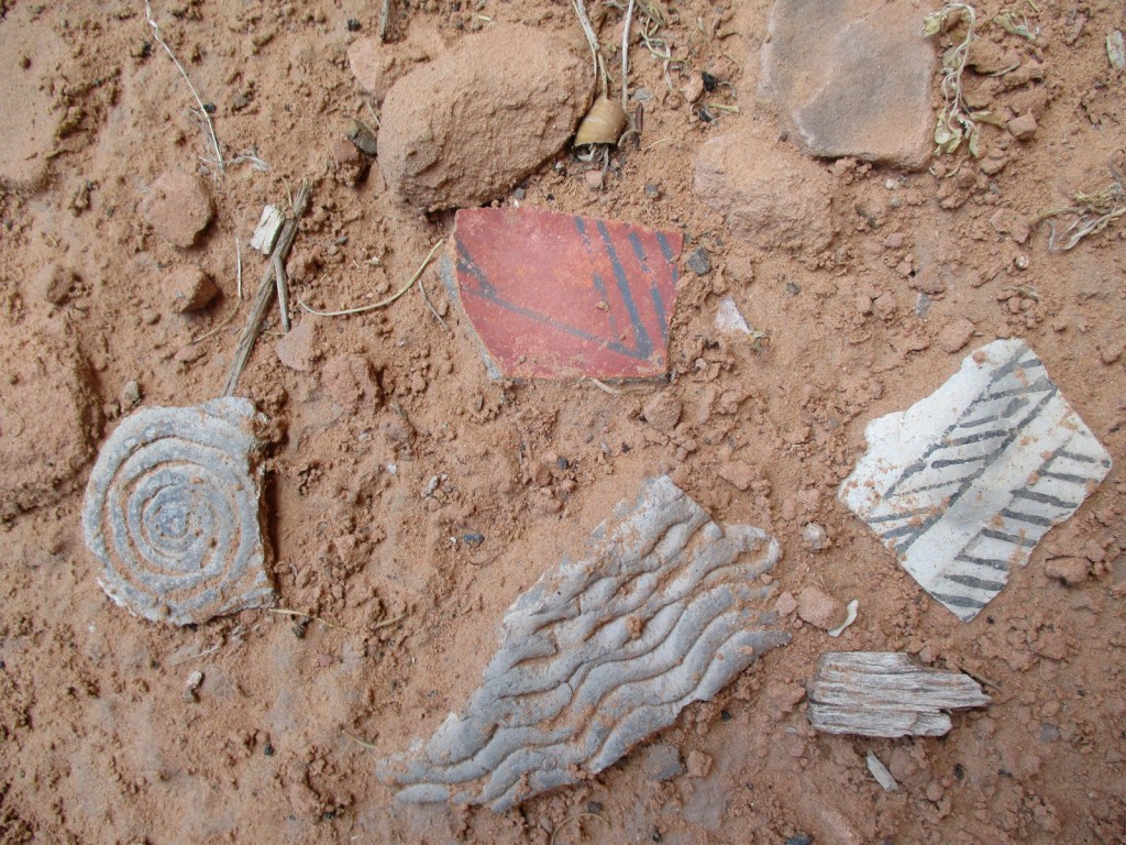
Outside the visitor center, a replica sweathouse and male hogan are on display, plus examples of three-toed dinosaur footprints left in the sandstone. Inside the visitor center, pottery and an example of a family dwelling are on display, plus a short introductory film is offered.

Peak Season
Summer
Hours
https://www.nps.gov/nava/planyourvisit/hours.htm
Fees
None
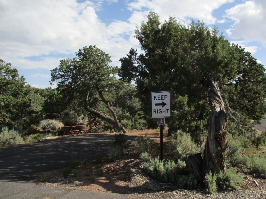
Road Conditions
Highway 564 is paved to the visitor center and Sunset View Campground, then a good dirt road leads to the Canyon View Campground and gated trailhead for ranger-led hikes to Betatakin and Keet Seel.
Camping
The free Sunset View Campground has running water and is one of the nicest campgrounds in the entire NPS system (now added to the Top 10 National Park Campgrounds with Running Water). There are vault toilets at Canyon View Campground, which is also free. Campers are limited to a total of seven nights per year at the campgrounds.
Related Sites
Hubbell Trading Post National Historic Site (Arizona)
Canyon de Chelly National Monument (Arizona)
Walnut Canyon National Monument (Arizona)


Explore More – When was the large white fir tree added above the main entrance to Keet Seel cliff dwelling?

Learn more about the other 137 National Monuments in our book Monumental America: Your Guide to All 138 National Monuments