Overview
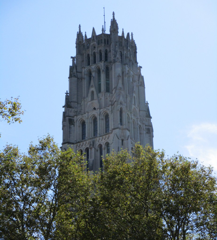
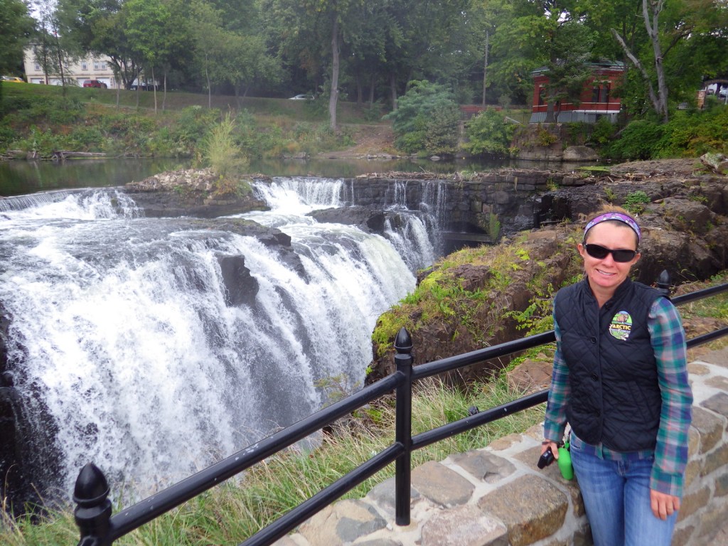
A flowing 77-foot waterfall in a narrow 300-foot wide gorge, Paterson Great Falls has long stood out as a natural wonder in New Jersey. The entire Passaic River drops over this volcanic ridge, making it the second largest waterfall by volume east of the Mississippi River (Niagara Falls is first). In 1792, the nation’s first Secretary of the Treasury, Alexander Hamilton, founded the City of Paterson to harness this hydropower for manufacturing. Paterson Great Falls was named a National Natural Landmark in 1966 and a National Historical Park in 2011.

Highlights
Great Falls Historic District Cultural Center, Colt Gun Mill, Overlook Park, Mary Ellen Kramer Park
Must-Do Activity
Start your visit at the Great Falls Historic District Cultural Center, and, if you have time, explore the Paterson Museum (donation requested). Carefully cross the street to Overlook Park for excellent view of the Great Falls Power Plant, then take the footbridges behind the hydroelectric plant to Mary Ellen Kramer Park for better photographic angles of the waterfall. Guided tours by park rangers are offered in the summer months.
Best Trail
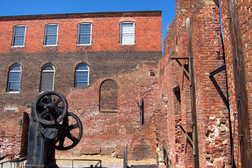
A walking tour of Paterson, New Jersey continues beyond Mary Ellen Kramer Park to Hinchcliffe Stadium where Negro League Baseball was once played. On the other side of the Passaic River, follow the river’s raceways to the red-brick ruins of Allied Textile Printing and the Colt Gun Mill.
Instagram-worthy Photo
The Great Falls Power Plant opened in 1914 and still produces enough power to supply 11,000 households. The “S.U.M. 1791” on the building’s exterior refers to Alexander Hamilton’s Society for Establishing Useful Manufactures.

Peak Season
Summer
Hours
https://www.nps.gov/pagr/planyourvisit/hours.htm
Fees
None
Road Conditions
All roads are paved and there is a free parking lot at Overlook Park.
Camping
None
Related Sites
Lowell National Historical Park (Massachusetts)
Thomas Edison National Historical Park (New Jersey)
Morristown National Historical Park (New Jersey)


Tiff at Paterson Great Falls 


Alexander Hamilton was pivotal to the founding of Paterson 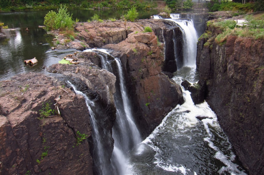

Groundhog 
Scott at Paterson Great Falls
Explore More – It cost $14.5-million to refurbish the Great Falls Power Plant in 1986; how much did it cost to build the entire thing in 1914?