Overview
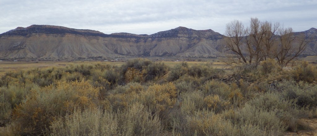
Yucca House National Monument was established in 1919 outside Cortez, Colorado. It is not far from Mesa Verde National Park, which has information about the National Monument at its visitor center on Highway 160. The 34-acre site protects an unexcavated pueblo abandoned around 1300, so there is very little to see above ground. The fact that there is public access at all is thanks to the ranching family that allows visitors to park in what is basically their driveway.
Highlights
Unexcavated pueblo, Canyons of the Ancients National Monument visitor center
Must-Do Activity
Unless you aim to visit every unit in the National Park Service (NPS) system, you are better off spending your time taking an extra tour or hike at Mesa Verde National Park. There are no facilities and there is not much to see at Yucca House, but there are many interesting Ancestral Puebloan ruins within nearby Canyons of the Ancients National Monument, which is run by the Bureau of Land Management (BLM). They have a large visitor center in Dolores, Colorado where you can get directions to archaeological sites, such as Painted Hand Pueblo.
Best Trail
Sand Canyon Trail lies within Canyons of the Ancients National Monument and its southern trailhead is located just off paved County Road G. The trail provides access to numerous archaeological sites; just remember to leave everything where you found it.
Instagram-worthy Photo
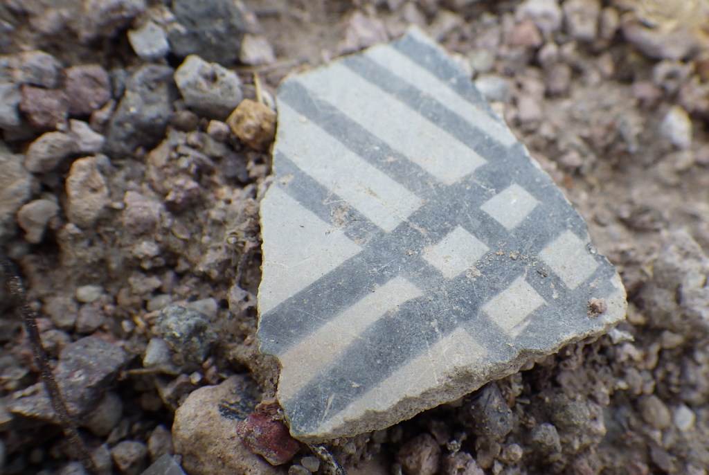
The most interesting unexcavated pueblo we have visited is Posi-Ouinge, which is accessible by a short trail from Ojo Caliente Hot Springs Resort in New Mexico. The ground there is littered with thousands of pot shards, many with painted designs still visible.
Peak Season
Summer
Hours
https://www.nps.gov/yuho/planyourvisit/hours.htm
Fees
None
Road Conditions
The access road is well-maintained dirt.
Camping
Dispersed camping is allowed in parts of nearby Canyons of the Ancients National Monument, which is run by the BLM.
Related Sites
Mesa Verde National Park (Colorado)
Hovenweap National Monument (Utah-Colorado)
Chaco Culture National Historical Park (New Mexico)
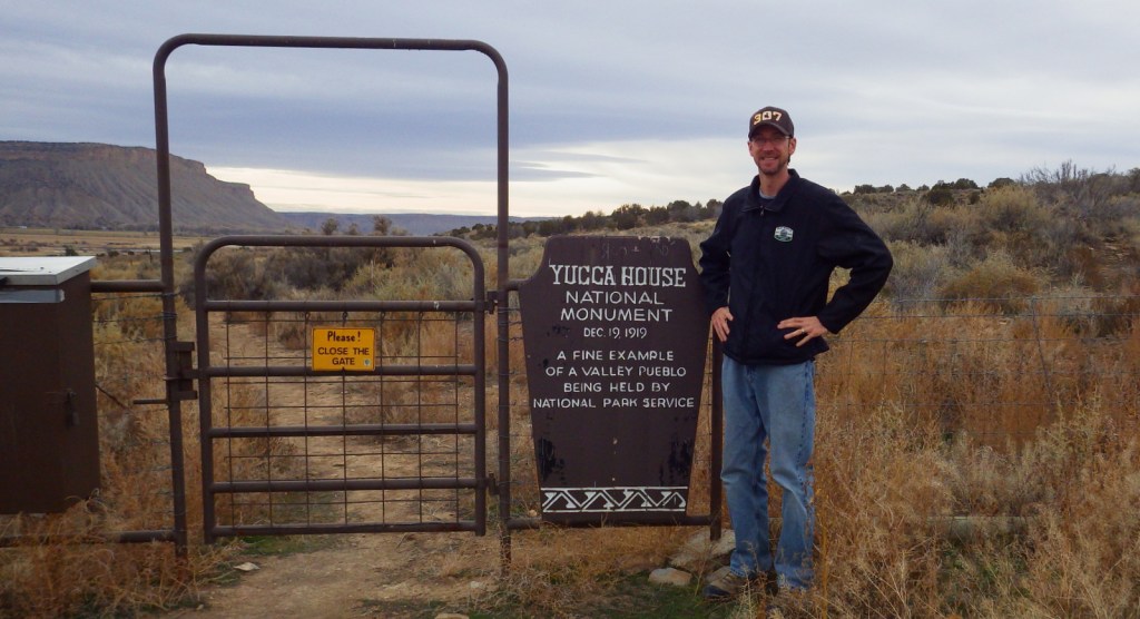
Scott entering Yucca House National Monument 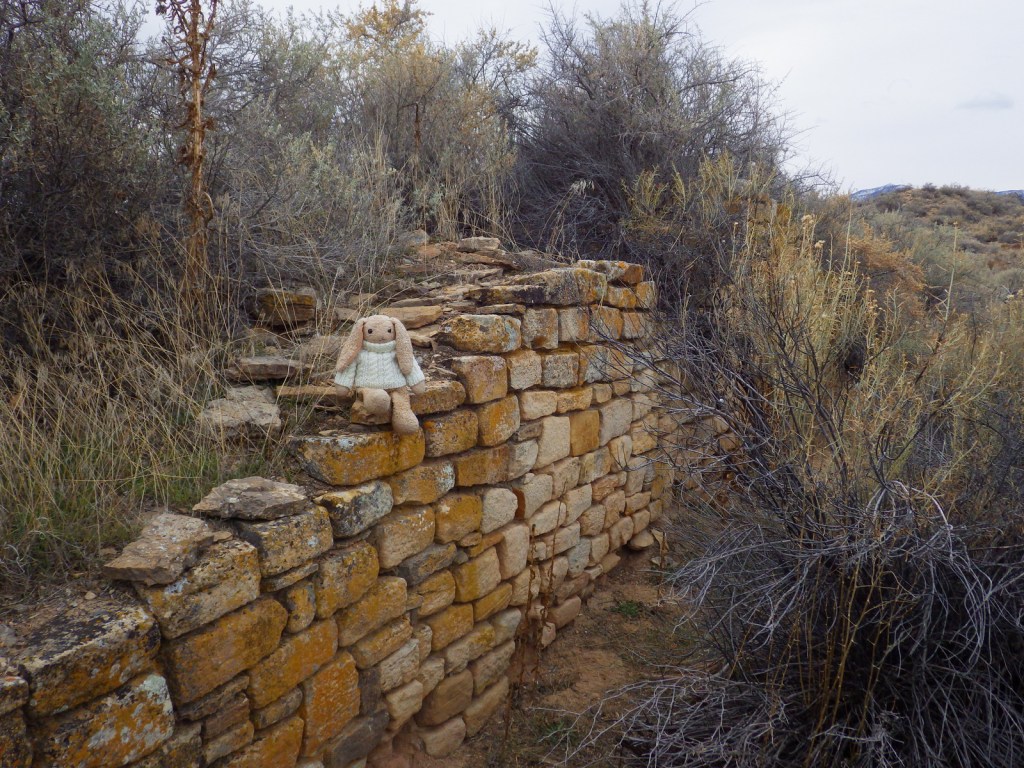
Yucca House National Monument 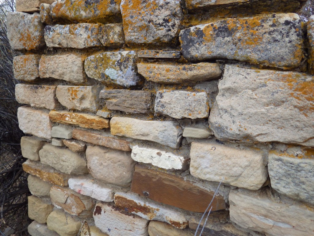
Yucca House National Monument 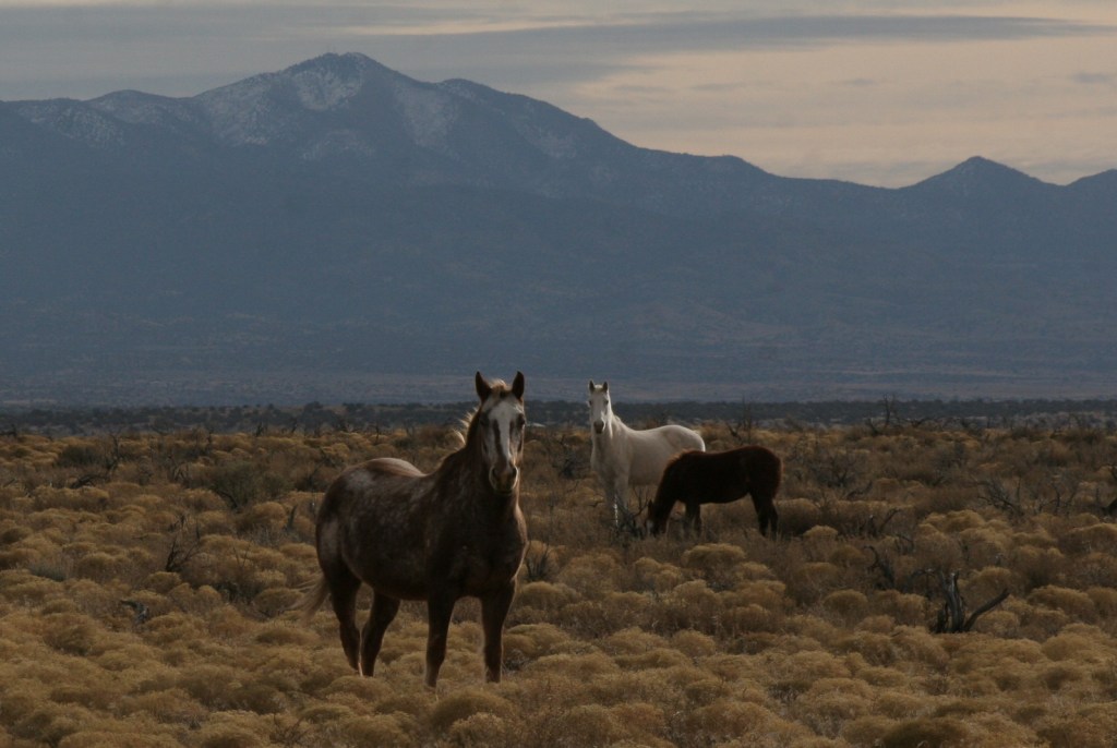
Horses near Yucca House National Monument 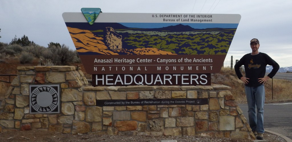
Scott at BLM visitor center 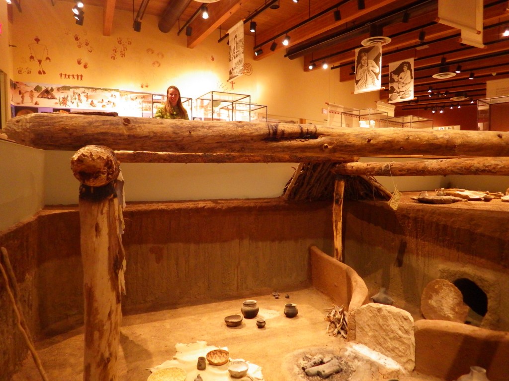
Tiff inside BLM visitor center 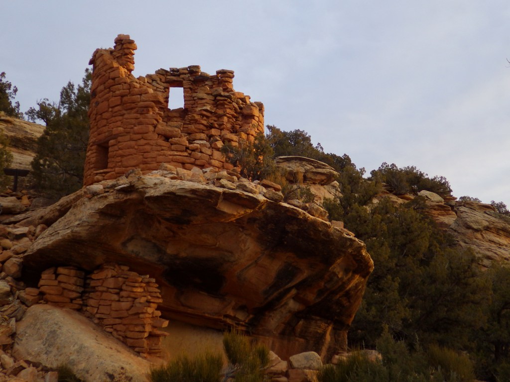
Painted Hand Pueblo 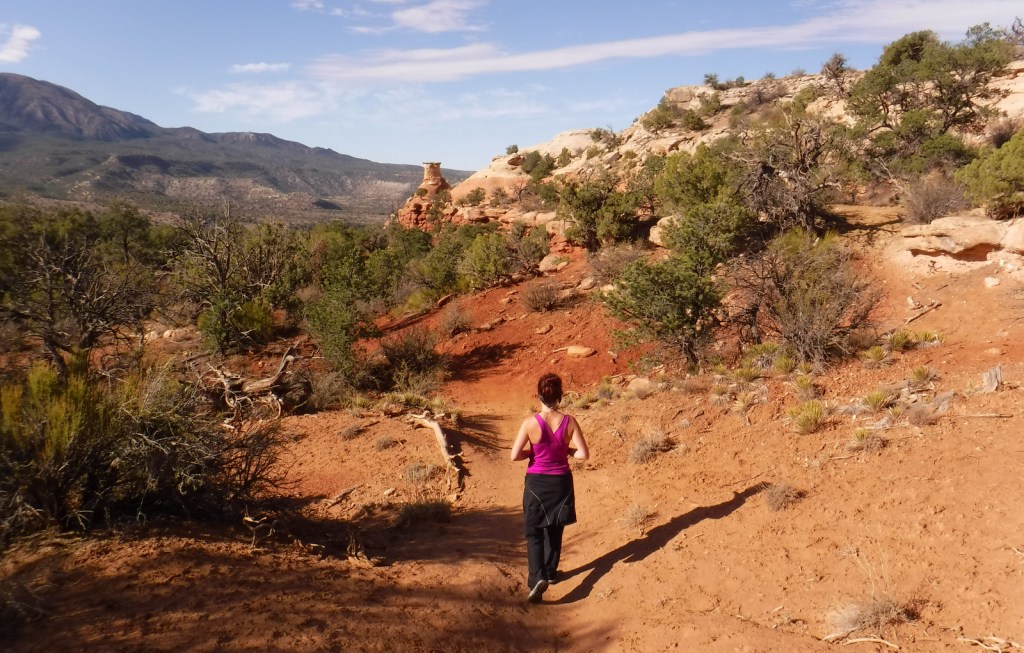
Tiff on Sand Canyon Trail within Canyons of the Ancients National Monument. 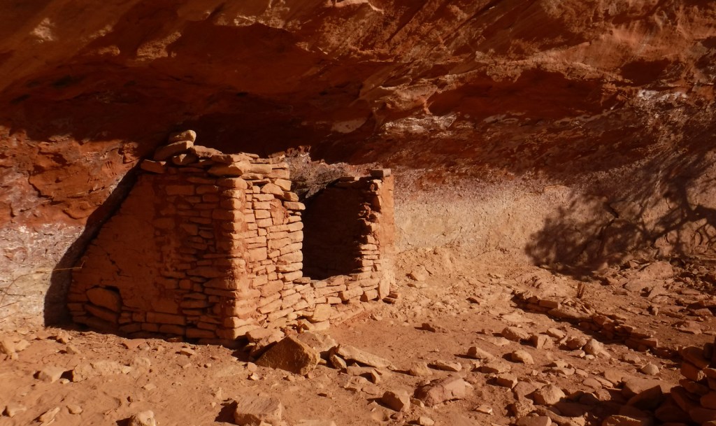
Ruins along Sand Canyon Trail within Canyons of the Ancients National Monument. 
Posi-Ouinge at Ojo Caliente Hot Springs Resort in New Mexico.
Explore More – Why did the Bureau of Land Management change the name of their visitor center in Dolores, Colorado from Anasazi Heritage Center?