Overview
In southwestern Missouri is 210-acre George Washington Carver National Monument where the artist and inventor was born into slavery. Near the end of the Civil War, raiders captured he and his mother (who was never seen again), but he was returned to his older brother and they were both raised by the Carver family. He went on to earn a master’s degree in botany from Iowa State University in 1896 and work at Tuskegee Institute in Alabama for 47 years. His most influential legacy is arguably his outreach work marketing peanut and soy plants, helping to turn them into the widespread agricultural products they are today.

Highlights
Museum, films, bronze sculptures, 1881 Moses Carver House, Williams Pond
Must-Do Activity
The National Monument has an excellent museum with interactive exhibits and examples of Carver’s paintings. A self-guided 0.75-mile trail passes several bronze sculptures and interpretive signs. It leads through the forest to Williams Pond and a house that dates back to 1881. George Washington Carver’s spirit lives on at this site, inspiring future generations to great aspirations despite humble beginnings.
Best Trail
The self-guided 0.75-mile trail loops from the visitor center and is partially wheelchair accessible.
Instagram-worthy Photo
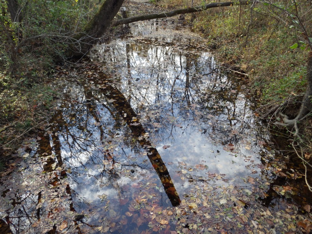
Williams Pond is a nice place to sit and contemplate what each of us can accomplish regardless of how we start.

Peak Season
Summer
Hours
https://www.nps.gov/gwca/planyourvisit/hours.htm
Fees
None
Road Conditions
All roads paved
Camping
There are private campgrounds around Joplin, Missouri and 50 miles away is Roaring River State Park.
Related Sites
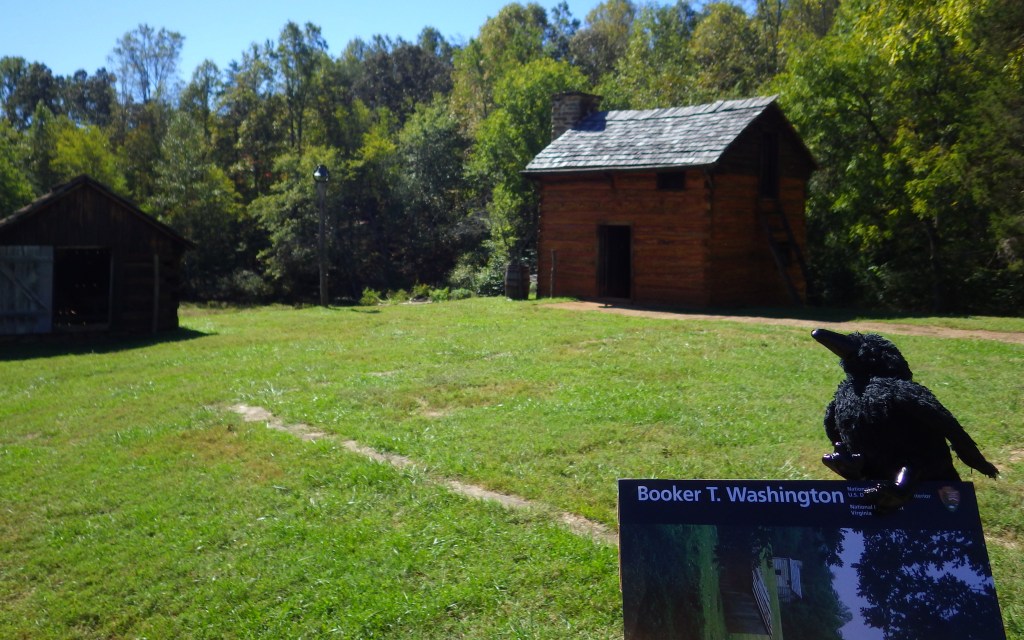
Booker T. Washington National Monument (Virginia)
Tuskegee Institute National Historic Site (Alabama)
Wilson’s Creek National Battlefield (Missouri)

This replica schoolroom is inside the outstanding museum 


A cool caterpillar 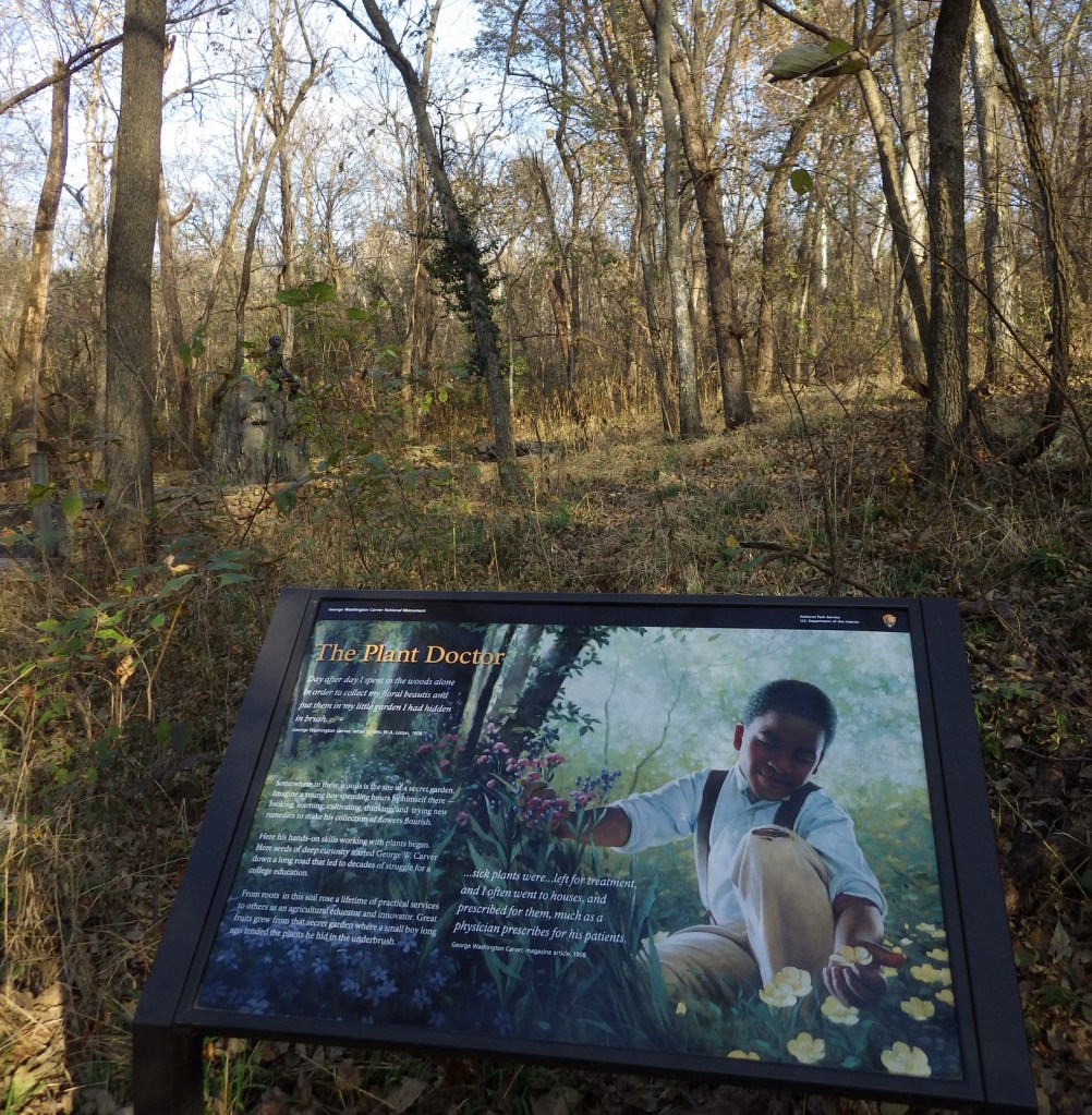


Carver never lived in this house built in 1881, but did return to visit here. 

Up close picture of a hearts-a-bursting with love (Euonymus atropurpureus) fruit 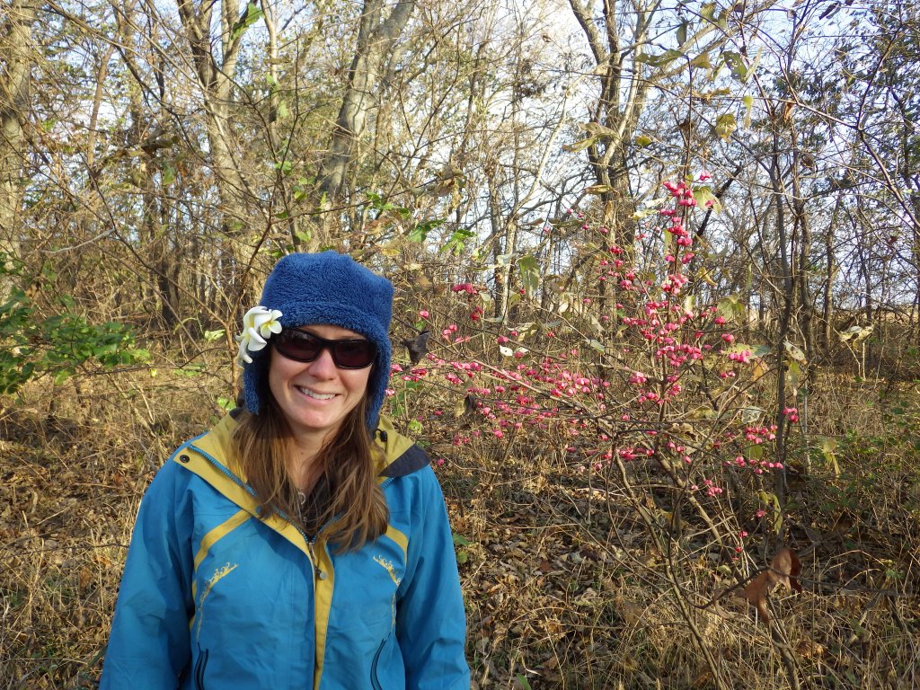
Tiff with the hearts-a-bursting with love fruit 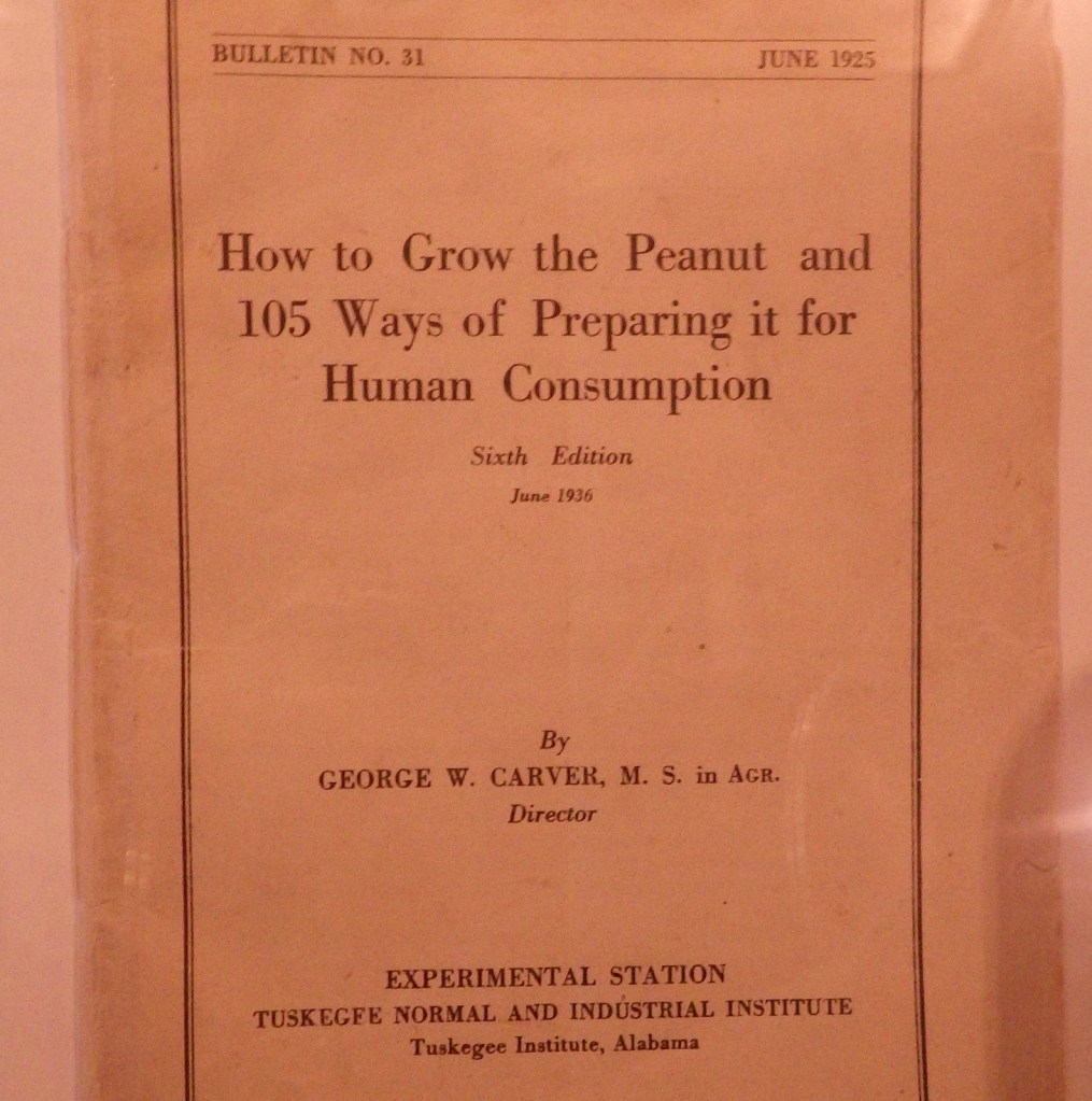
Explore More – When was the year the National Monument was dedicated, which was the same year Carver died?