Overview
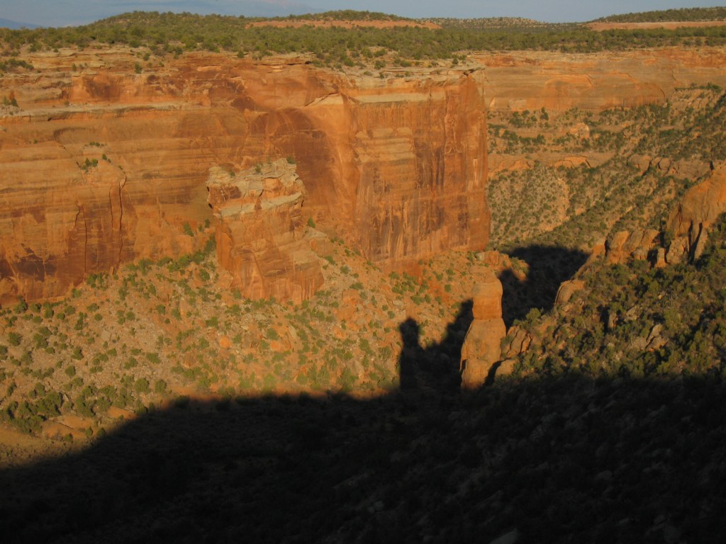
The name Colorado translates from Spanish as “red colored” and Colorado National Monument is exactly that. From the numerous overlooks along Rim Rock Drive, the farm-dotted Colorado River Valley stretches out to the Book Cliffs and the evergreen forests of Grand Mesa. But your attention will be drawn to the red rock formations in the foreground, like Independence Monument topped by an improbably placed American flag. Do not miss a visit to neighboring McInnis Canyons National Conservation Area (held by the Bureau of Land Management), which has been proposed to be combined with Colorado National Monument to form a new National Park.

Highlights
Museum, film, Rim Rock Drive, Serpents Trail, Independence Monument View, Liberty Cap Trail
Must-Do Activity
Enjoy the stellar scenery and hiking while watching the cliffs for raptors, especially during the golden hours when the red rocks really shine. While Interstate 70 offers easy access to the National Monument on the way to Arches National Park, we recommend heading south along twisty Highway 141, passing through stunning Dolores Canyon.
Best Trail
There are many great (and steep) canyon hikes in this area, including the former roadbed of Serpents Trail, once known as the “Crookedest Road in the World” until closed to vehicles following a highway reroute in 1950.
Instagram-worthy Photo
Sunrise and sunset are the best times for photography at the numerous overlooks along 23-mile Rim Rock Drive.

Peak Season
Summer
Hours
https://www.nps.gov/colm/planyourvisit/hours.htm
Fees
$25 per vehicle or America the Beautiful pass
Road Conditions
All roads paved
Camping
From Saddlehorn Campground you can see the lights of Grand Junction, Colorado and Interstate 70, but up here you feel like all of that is a million miles away. Free backcountry camping permits are also available.
Related Sites
Mesa Verde National Park (Colorado)
Black Canyon of the Gunnison National Park (Colorado)
Canyonlands National Park (Utah)


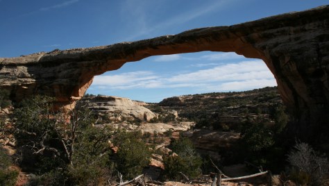
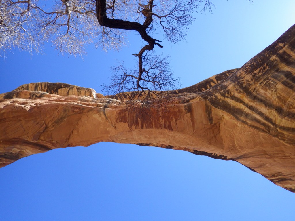
Window Rock 
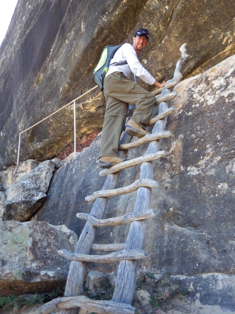
Scott at Saddlehorn Campground 
Sunset from Saddlehorn Campground 
Hawk in flight 
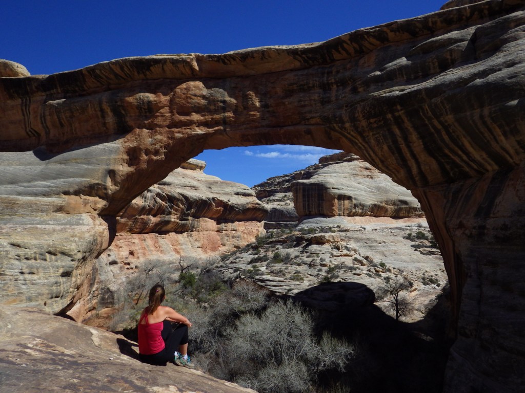
Tiff hiking on Liberty Cap Trail 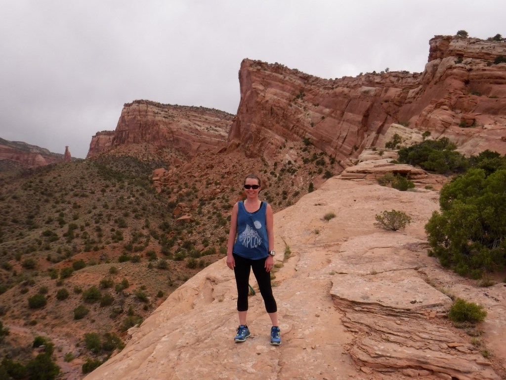
Tiff hiking on Liberty Cap Trail 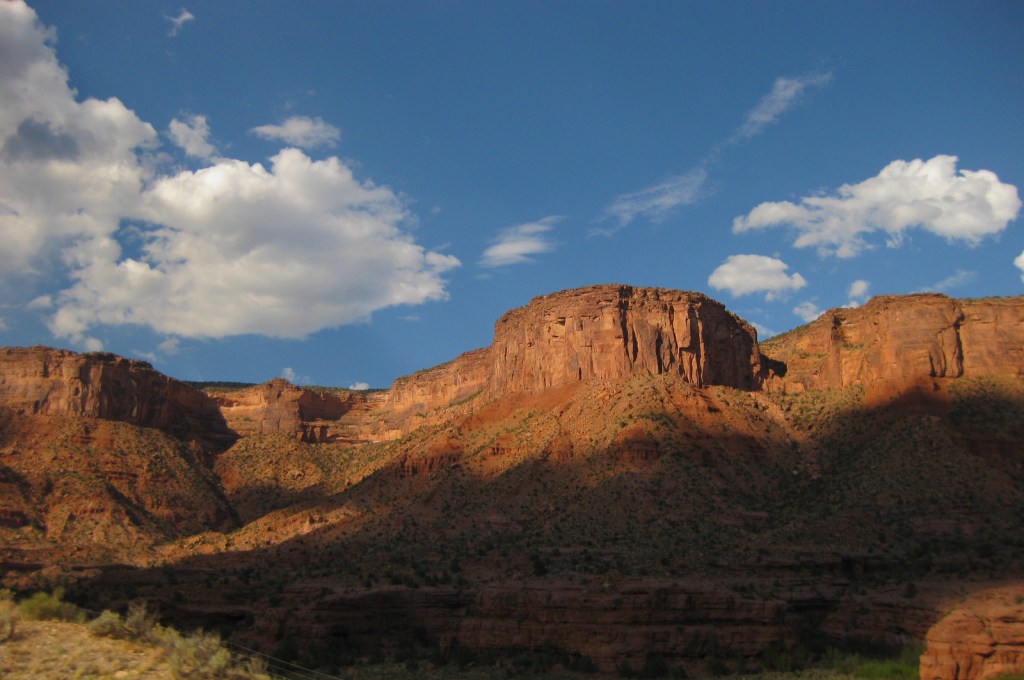
Take twisty Highway 141 for incredible vistas like this one
Explore More – John Otto petitioned hard for the creation of Colorado National Monument in 1911 and served as its caretaker for 26 years at what ridiculously low salary?