Chequamegon National Forest
Wisconsin
Managed by U.S. Forest Service, Northeastern Region
1,049,540 acres (868,392 federal/ 181,148 other)
Website: https://www.fs.usda.gov/cnnf
Overview
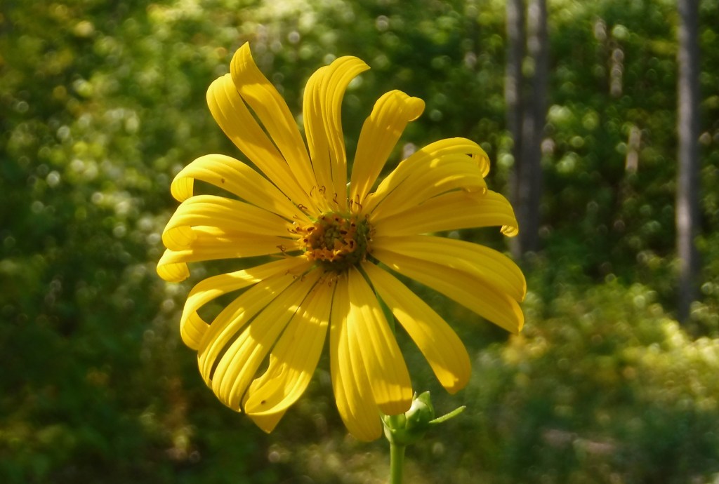
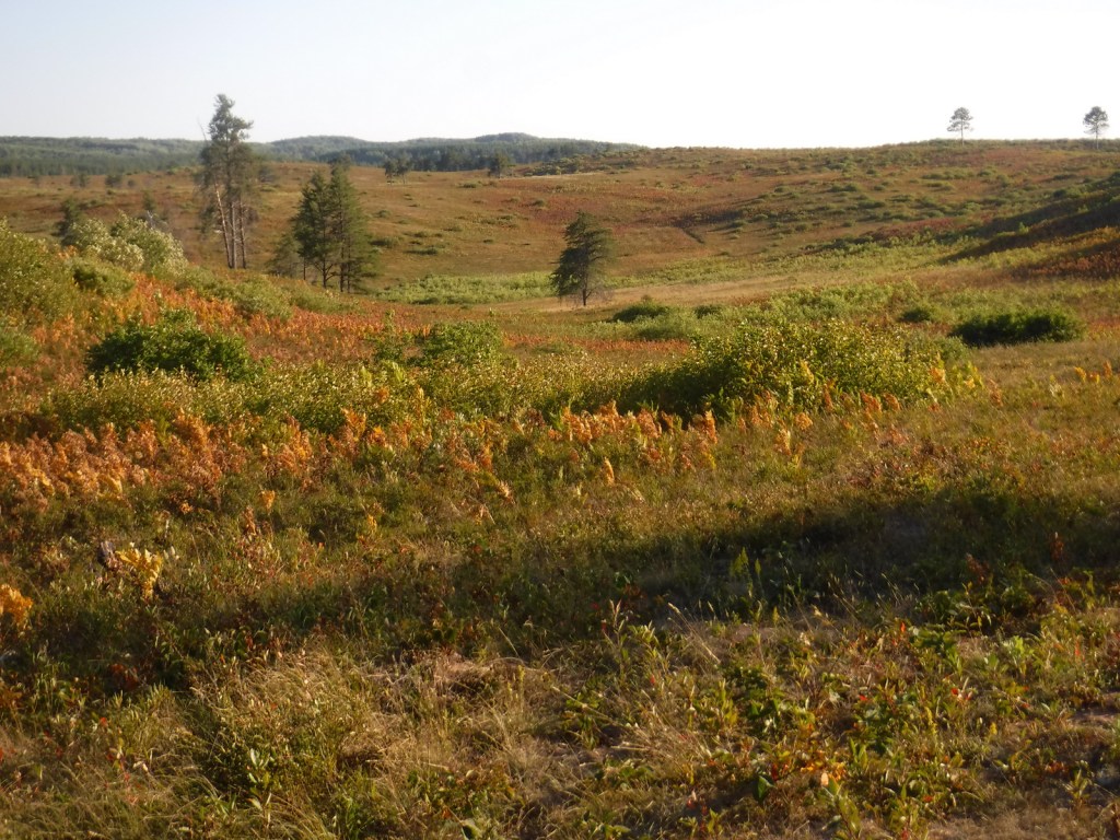
Chequamegon National Forest gets its name from Lake Superior’s Chequamegon Bay, which is derived from the Ojibwe word for the bay’s prominent sand bar on the east side of Wisconsin’s Bayfield Peninsula. Managed as Chequamegon-Nicolet National Forest since 1998, the more western Chequamegon National Forest contains a 61-mile stretch of the North Country National Scenic Trail and 49 miles of the Ice Age National Scenic Trail that winds through Wisconsin. On the Bayfield Peninsula is Moquah Pine Barrens National Natural Landmark, first set aside by the Forest Service in 1935 to study its red pine savannah and upland jack pine barrens. The Moquah Pine Barrens is notable for its summer wildflower bloom and fall berry picking.

Highlights
Great Divide Scenic Byway, Drummond Woods, Valhalla Recreation Area, South Fork of Flambeau River, Mondeaux Dam Recreation Area, Moquah Barrens National Natural Landmark, Clam Lake, Schumland Wetland Area, Chequamegon Water Flowage, Tucker Lake Hemlocks Natural Area, Morgan Falls, St. Peter’s Dome, West Torch Ski Trail, Mukwonago Ski Trail, Camba Mountain Bike Trail, Mt. Valhalla, Caro Forest Trail, West Twin Lake Trail, Aldo Leopold Commemorative Trail, North Country National Scenic Trail, Ice Age National Scenic Trail
Must-Do Activity
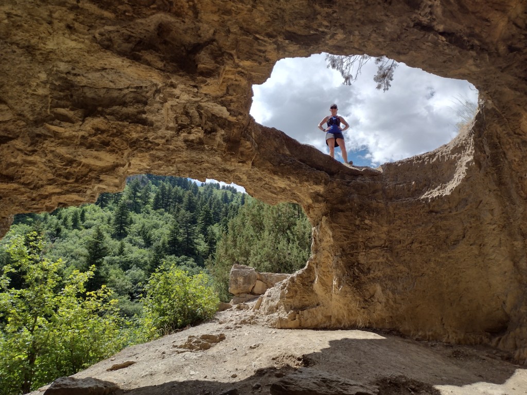
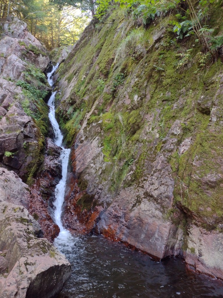
St. Peter’s Dome and Morgan Falls Recreation Area (fee) is the most developed site in Chequamegon National Forest. A wide, level trail with new bridges leads 0.75 miles one-way to Morgan Falls, which tumbles 70 feet down a narrow rock crevice. The trail splits and becomes steeper as it ascends to St. Peter’s Dome, a rock outcropping that offers views north to Chequamegon Bay and the Apostle Islands. To visit both spots is a 3.8-mile roundtrip hike with an elevation gain of 500 feet. Make sure you have good directions before you go because the drive to the trailhead has unsigned turns on unpaved back roads.
Best Trail
In the southern portion of the National Forest, the Aldo Leopold Commemorative Trail is a 1.2-mile out-and-back hike that follows a glacial esker above a wetland near the Mondeaux Flowage. The path is lined with wooden boards with quotes from the famous ecologist who wrote his seminal book A Sand County Almanac (see our Top 10 Books about Trees and Forests) at his Wisconsin farm.
Watchable Wildlife
Gray wolves and elk have been reintroduced to Chequamegon National Forest, in addition to native moose, black bears, red foxes, raccoons, rabbits, beavers, river otters, and (of course in Wisconsin) badgers. Common loons with their distinctive calls are the most iconic bird of the North Woods, with other notable species being barred owls, bald eagles, common ravens, turkeys, ruffed grouse, and boreal chickadees. Fishing is a big deal in this part of the world and Hayward, Wisconsin is home to the Freshwater Fishing Hall of Fame (where you can stand in the mouth of a giant muskie sculpture). Major gamefish include lake trout, rainbow trout, small and largemouth bass, crappie, walleye, northern pike, and muskellunge (muskie).
Instagram-worthy Photo
It might require a bit of creative climbing to get a good photo of Morgan Falls, located only 1.5 miles roundtrip from the trailhead (fee).

Peak Season
Summer and fall
Fees
There is a $5 day-use fee to park at the trailhead for St. Peter’s Dome and Morgan Falls Recreation Area.
Road Conditions
The road through the Moquah Barrens is paved, and even the sand-surfaced roads were all in good shape during our visits.
Camping
There are developed campgrounds throughout the National Forest and nearby Apostle Islands National Lakeshore, but we have always dispersed camped off the back roads on the Bayfield Peninsula, including a pleasant night spent on the Moquah Barrens.
Wilderness Areas
Porcupine Lake Wilderness
Rainbow Lake Wilderness
Related Sites
Apostle Islands National Lakeshore (Wisconsin)
St. Croix National Scenic Riverway (Wisconsin-Minnesota)
Keweenaw National Historical Park (Michigan)
Nearest National Park
Isle Royale


Conifer Tree Species
jack pine, red pine, eastern white pine, balsam fir, black spruce, white spruce, northern white-cedar, tamarack, balsam fir, eastern hemlock
Flowering Tree Species
sugar maple, red maple, mountain maple, black ash, white ash, basswood, yellow birch, paper birch, river birch, northern red oak, white oak, black oak, American beech, quaking aspen, bigtooth aspen, balsam poplar, white ash, beaked hazelnut, tag alder
Explore More – The 636-acre Moquah Barrens Research Natural Area was established in 1935 and named a Wisconsin State Natural Area in 1970, but when was it designated a National Natural Landmark?


Learn more about Chequamegon and the 154 other National Forests in our new guidebook Out in the Woods

We are a participant in the Amazon Services LLC Associates Program, an affiliate advertising program designed to provide a means for us to earn fees by linking to Amazon.com and affiliated sites.