Overview
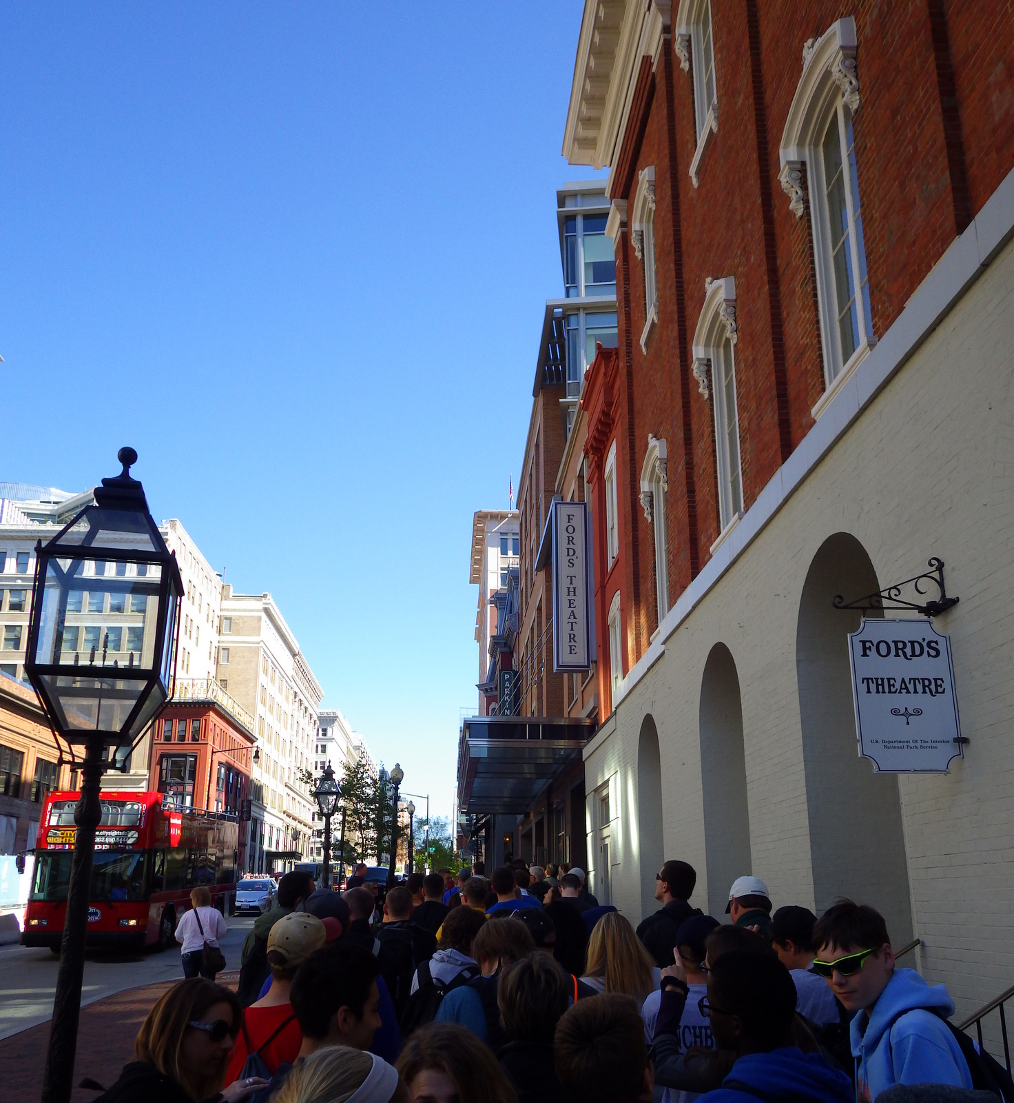
On April 14, 1865, President Abraham Lincoln attended a play at Ford’s Theatre in Washington, D.C., which General U.S. Grant was also expected to attend. It is common knowledge that Lincoln was shot by an actor (John Wilkes Booth) not performing in the play and died the next morning of his wounds. What is less well known is that the assassination plot also targeted the Secretary of State William Seward(critically injuring six men and one woman) and Vice President Andrew Johnson (which was never attempted). Since 1933,the National Park Service has run the site and the neighboring Petersen house where Lincoln died, which are open to tourists with timed tickets except when rehearsals are underway in the still-active theatre.
Highlights
Museum, Booth’s gun, ranger program, live theatre
Must-Do Activity
You can get a ticket to the free ranger talk that does not include the National Park Service’s excellent museum downstairs from the theatre, but this should not be skipped by visitors. It contains thought-provoking interpretative material and the original gun used by Booth to shoot Lincoln.
Best Trail
Take a walk to the boarding house where the conspirators met, which is now a restaurant in D.C.’s Chinatown. Mary Surratt, who ran the boarding house, became the first woman executed by the U.S. federal government on July 7, 1865.
Instagram-worthy Photo
There are still plays performed at Ford’s Theatre, but your timed ticket will only get you in to listen to a ranger talk about the assassination without any singing or acting. Either way, the stage right balcony provides the best view of the President’s box seats.

Peak Season
Summer, but it is open year round.
Hours
https://www.nps.gov/foth/planyourvisit/basicinfo.htm
Fees
A timed ticket is available online (with a reservation fee) and in person (free). Theatre performances charge an admission fee.
Road Conditions
All roads paved, but parking can be a challenge in Washington, D.C., though it is easier on weekends.
Camping
None

The boarding house where the conspirators met is now a restaurant in D.C.’s Chinatown 
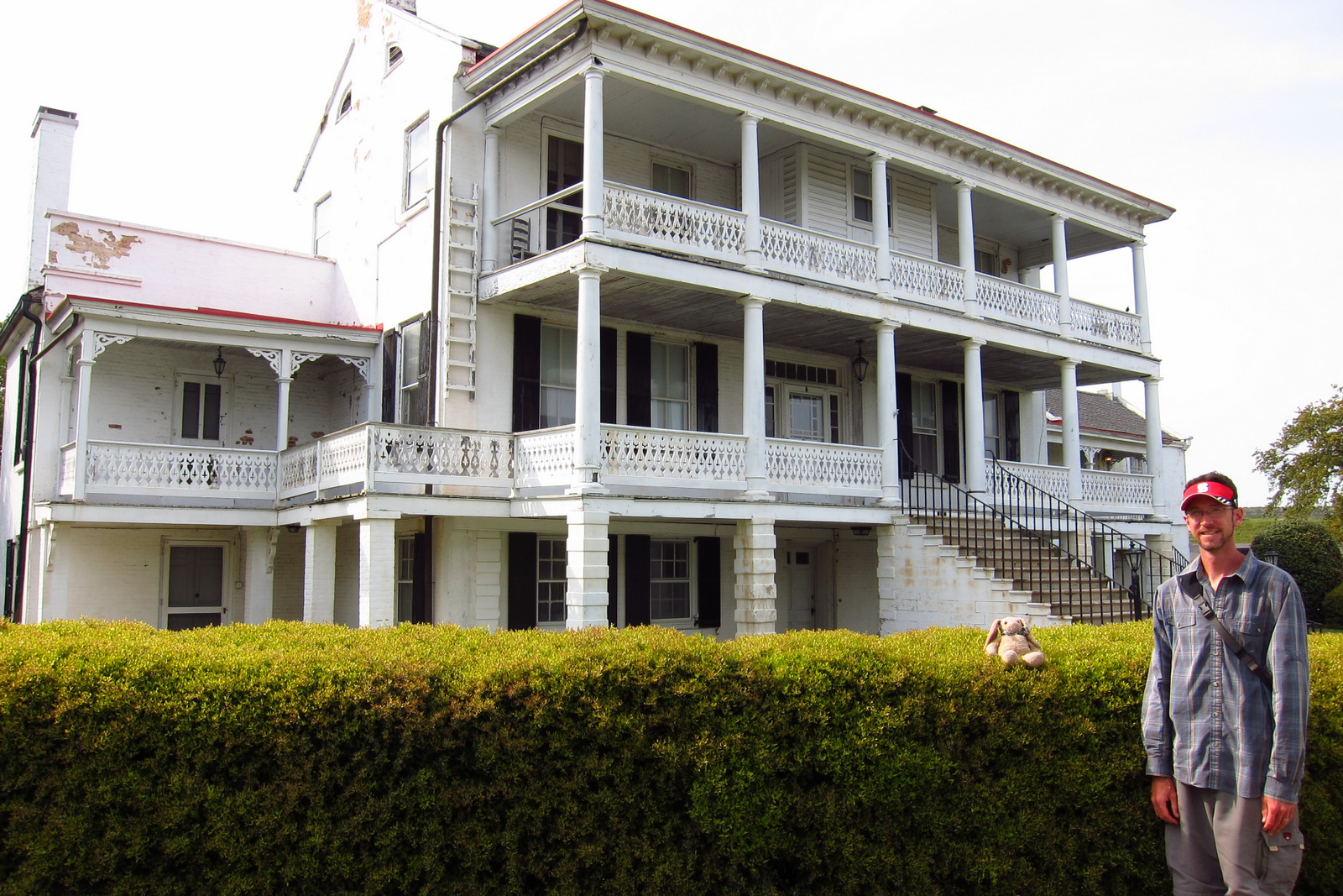
Tiff in front ofthe neighboring Petersen house where Lincoln died 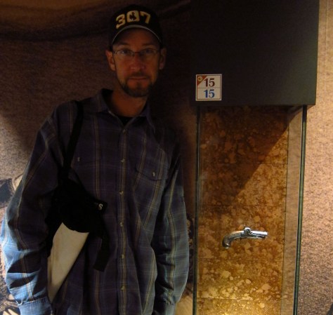
Scott with Booth’s assassination weapon. 
Tiff with John Wilkes Booth 
Scott with Abraham Lincoln 
Tiff at the Presidential Box
Explore More – Are theatre-goers allowed to sit in the presidential box during performances?