Overview
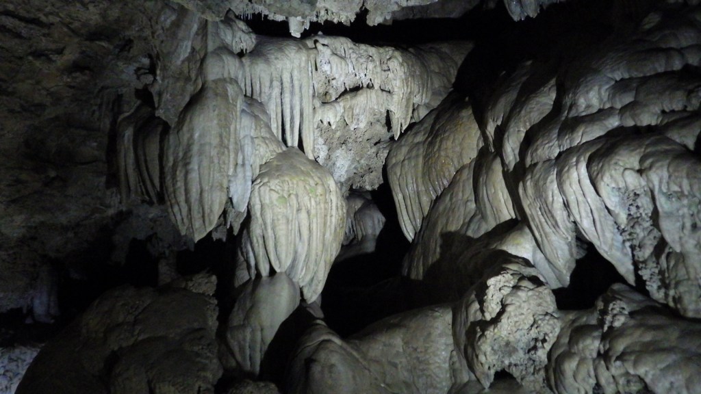
In the remote southwest corner of Oregon, this marble cave system has been federally protected since 1909. The Civilian Conservation Corps (CCC) worked extensively on the trail system and chateau-style lodge in the 1930s. In 2014, an additional 4,000 acres were added to preserve the surrounding old-growth forests, the most biodiverse conifer-dominated ecosystem in the world.

Highlights
Cave tours, Oregon Caves Chateau, Big Tree, Mt. Elijah
Must-Do Activity
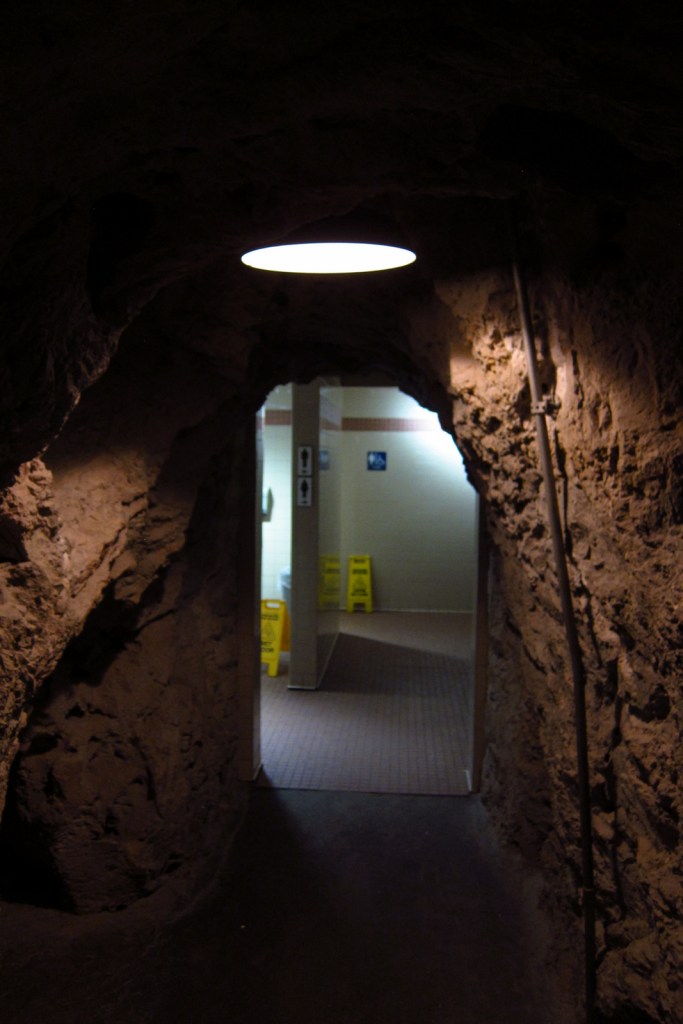
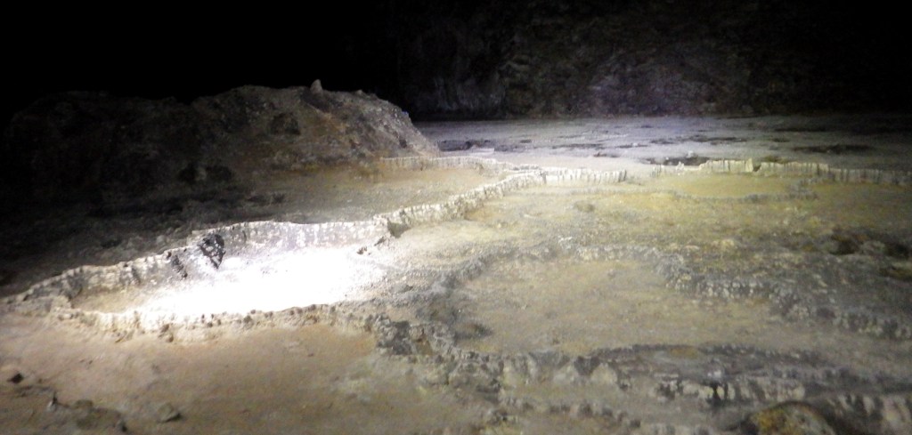
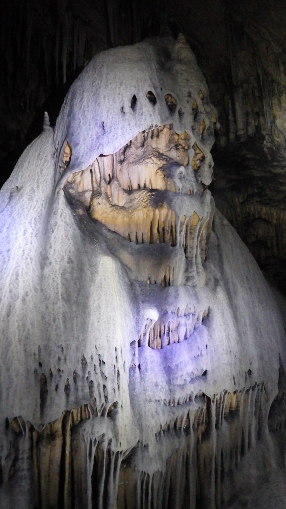
The Oregon Caves Chateau is currently closed for renovation, but is scheduled to reopen to guests in 2021. That means the main reason to visit is to take a tour inside the cave, but bundle up because it remains a brisk 44°F year round. The standard tour is 90 minutes, has a height requirement of 42 inches, and includes 500 stairs, which can be strenuous at 4,000 feet in elevation. In the summer, a candlelight tour, off-trail “wild caving” tour, and family-friendly tour (for those with small children) are also offered.
Best Trail
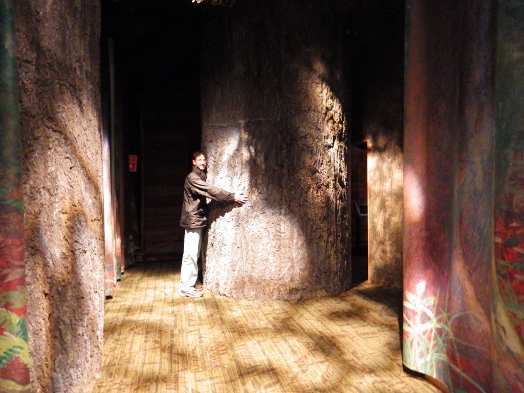
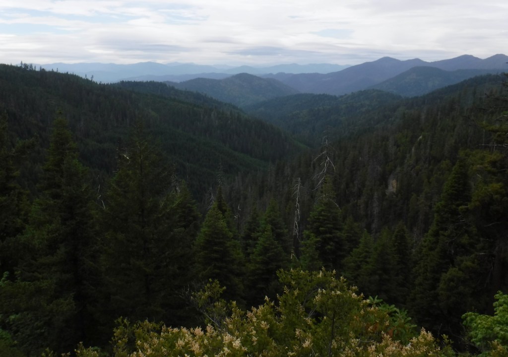
The Bigelow Lakes-Mt. Elijah Loop Trail covers 9.2 miles and gains 2,390 feet in elevation while providing the best views of the surrounding mountains. At a minimum, you should try to hike the Big Tree Trail 2.6 miles roundtrip to the largest diameter Douglas-fir tree in Oregon.
Instagram-worthy Photo
After your cave tour exits far uphill from its entrance, continue on the Cliff Nature Trail for a great view of the lush Siskiyou Mountains.
Peak Season
Summer, since cave tours are only offered from late March through November.
Hours
https://www.nps.gov/orca/planyourvisit/hours.htm
Fees
There is no entrance fee to the park, but there is a charge for all cave tours (which can be reserved in advance).
Road Conditions
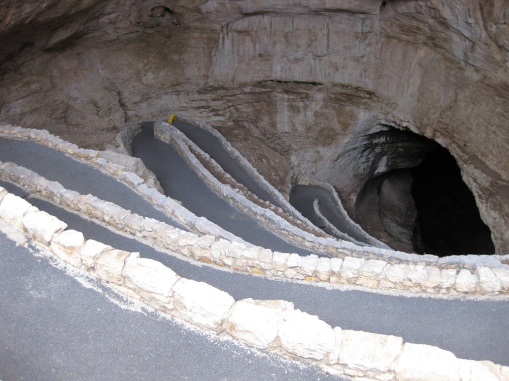
The paved entry road is winding and climbs steeply. Most surrounding Forest Service roads are unpaved and one climbs to provide access near the top of the Bigelow Lakes-Mt. Elijah Loop Trail.
Camping
Cave Creek Campground is located 4 miles from the cave entrance. Trailers are only permitted at Grayback Campground, further down the hill.

Oregon Caves Chateau 

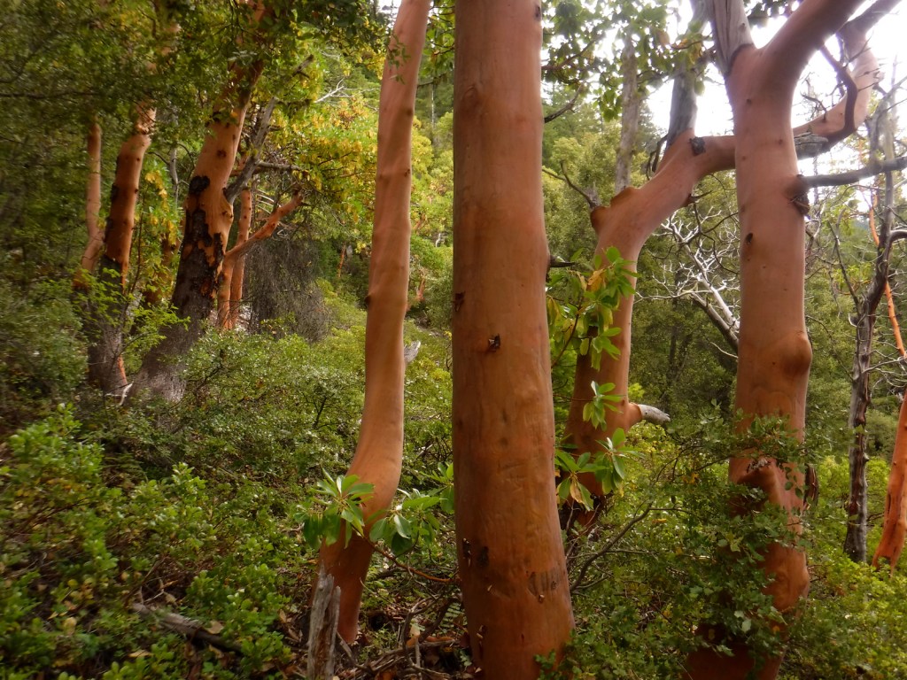
Pacific madrone trees 
Scott next to the Big Tree 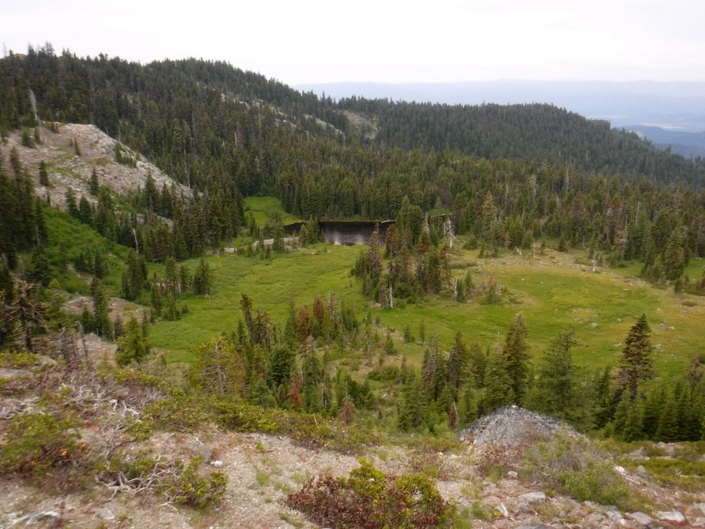
A view of Bigelow Lakes 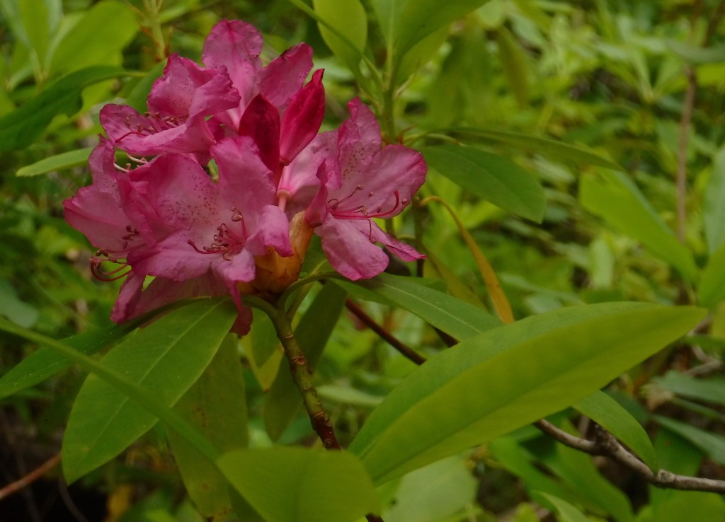
Pacific rhododendron in bloom 
Candlelight tour 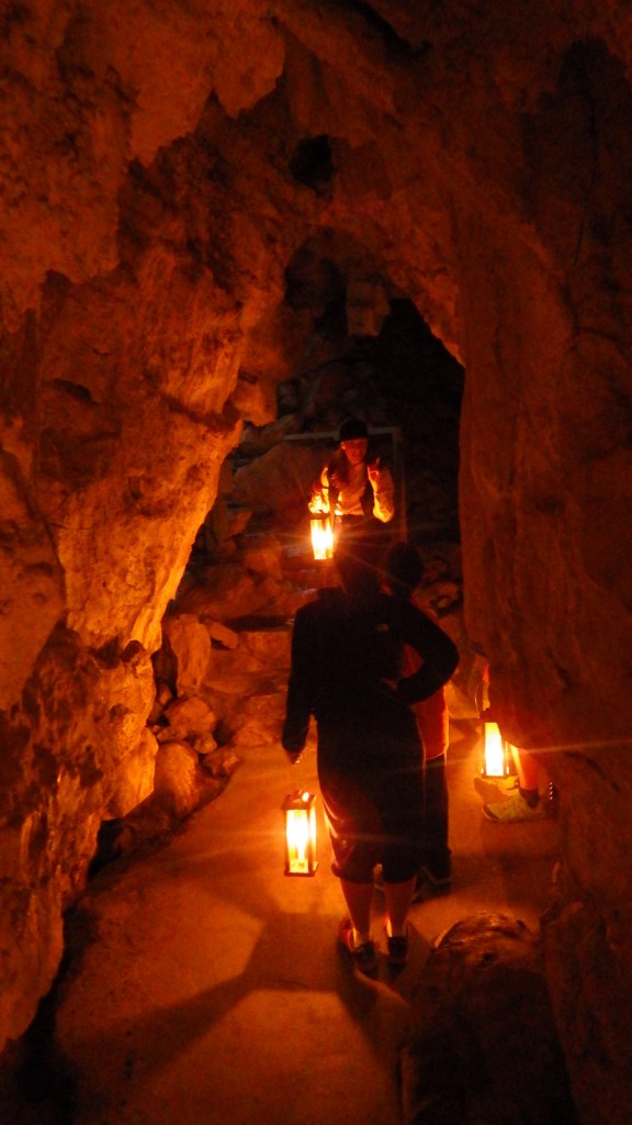
Explore More – Which native conifer tree provided the siding for the Oregon Caves Chateau?