Overview
Antietam National Battlefield was established in 1890 to commemorate those who fought in Sharpsburg, Maryland on September 17, 1862, the bloodiest single day in American military history with more than 23,000 total casualties. In fact, it was in the aftermath of Antietam that Clara Barton earned her nickname “The Angel of the Battlefield” before going on to found the American Red Cross in 1881. The battle was a draw, but together with a Union victory at Harpers Ferry stopped the Confederate advance north and provided the impetus for President Lincoln’s Emancipation Proclamation.

Highlights
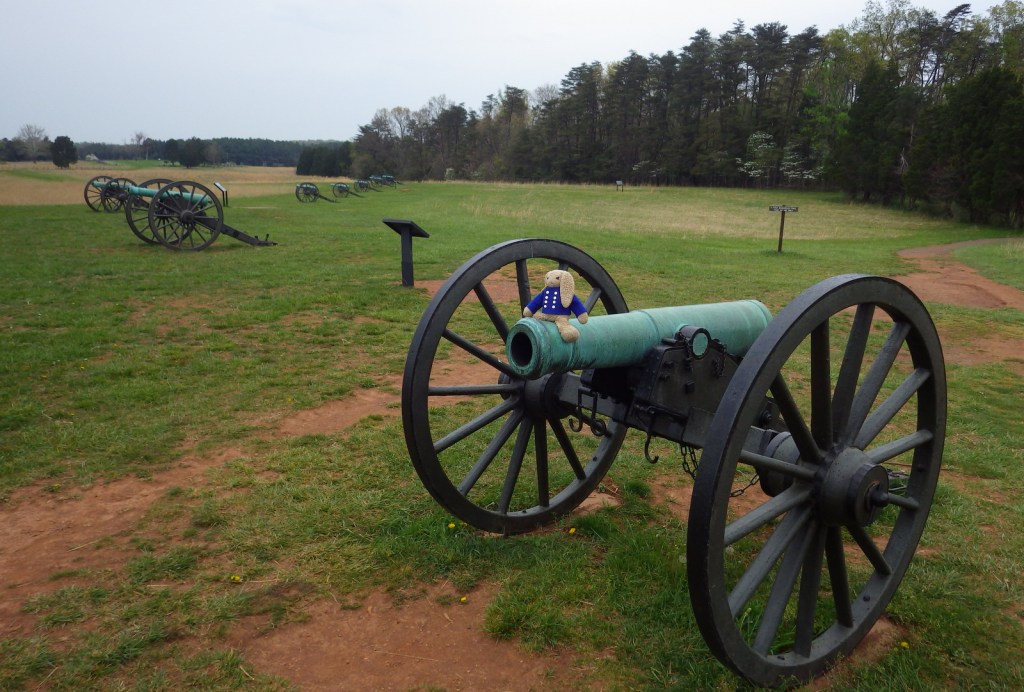
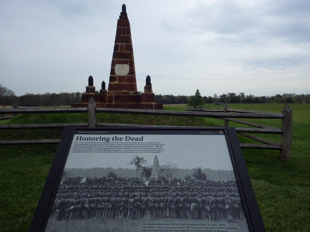
Museum, film, driving tour, Observation Tower, Pry House Medical Museum, cannons
Must-Do Activity
Your entrance fee allows you access to the museum and eight-mile driving tour, as well as 3,200 acres of beautiful Maryland countryside. Even though this site holds a grisly honor, today it is a charming open space with picturesque bridges and monuments, perfect for a pleasant walk or bike ride. During our visit, Burnside Bridge was being rebuilt after it collapsed in 2014. Overall, it is a much quieter spot than nearby Gettysburg National Military Park.
Best Trail
The park has more than doubled in size since 1990 and there are walking trails accessible all along the driving tour route. At a minimum, you should get out of the car to walk “Bloody Lane” before climbing up the Observation Tower.
Instagram-worthy Photo
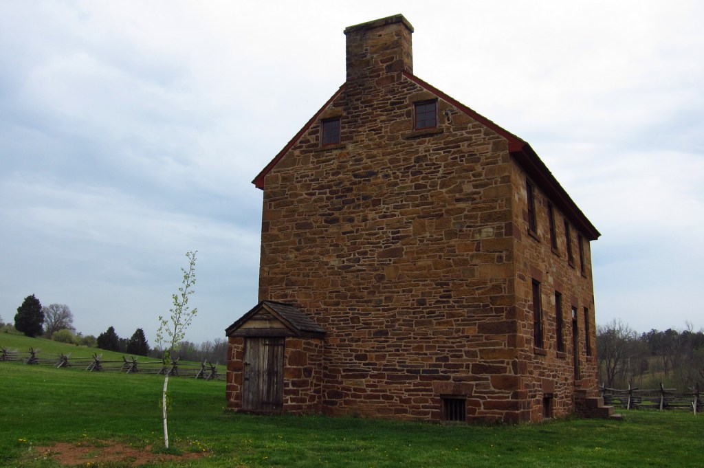
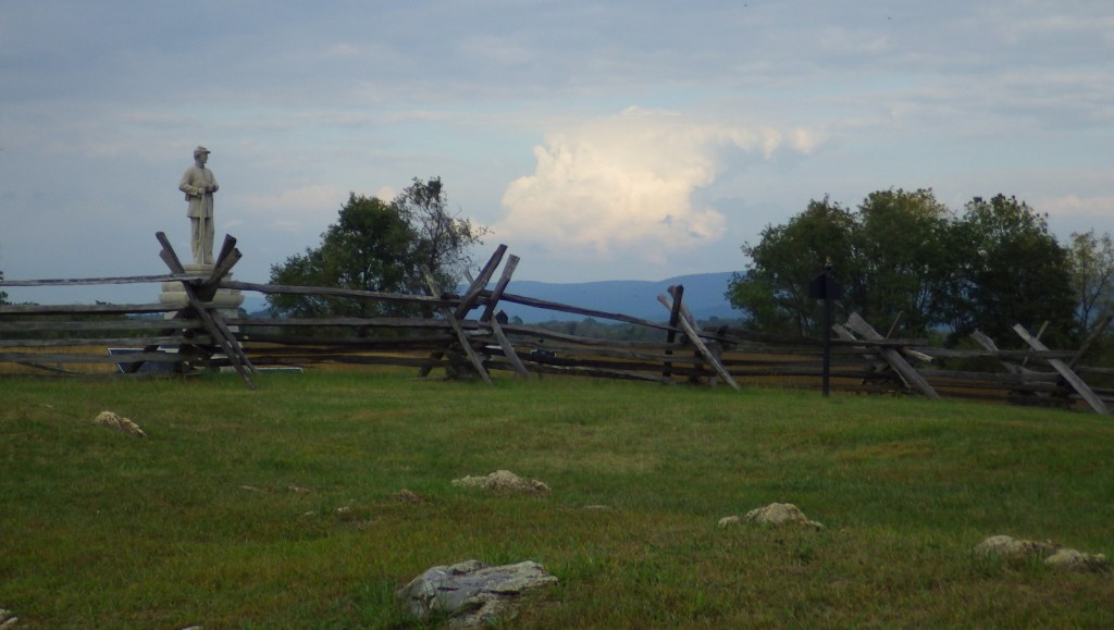
A split-rail fence provided cover for Confederate troops on Sunken Road, also known as “Bloody Lane.” A nice view of it and the Maryland countryside is offered from the Observation Tower.

Peak Season
Summer
Hours
https://www.nps.gov/anti/planyourvisit/hours.htm
Fees
$20 per vehicle or America the Beautiful pass
Road Conditions
All roads paved
Camping
Reservations are required for organized groups to camp within the park, but there is a walk-in campground located five miles south within Chesapeake and Ohio Canal National Historical Park. Greenbrier State Park offers a developed campground about 15 miles away.
Related Sites
Catoctin Mountain Park (Maryland)
Harpers Ferry National Historical Park (West Virginia-Maryland-Virginia)
Clara Barton National Historic Site (Maryland)


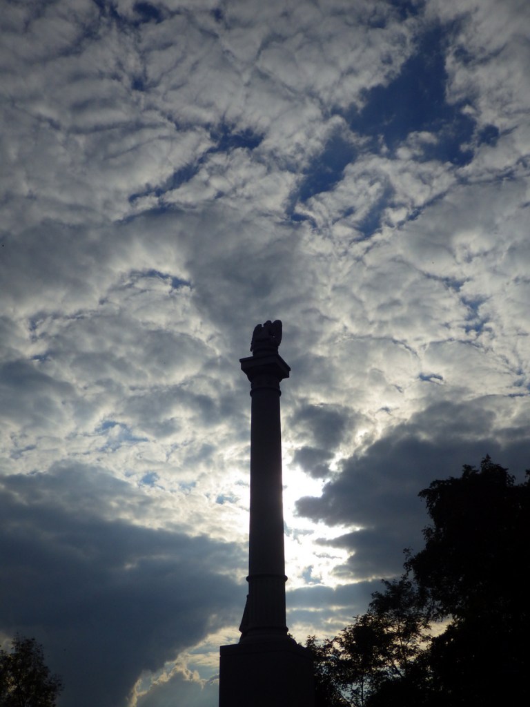
Tiff at the Observation Tower 
View from the Observation Tower 

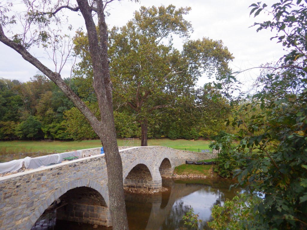
Burnside Bridge under construction 
Explore More – How many Union soldiers are interred at Antietam National Cemetery (alongside veterans from four other wars)?