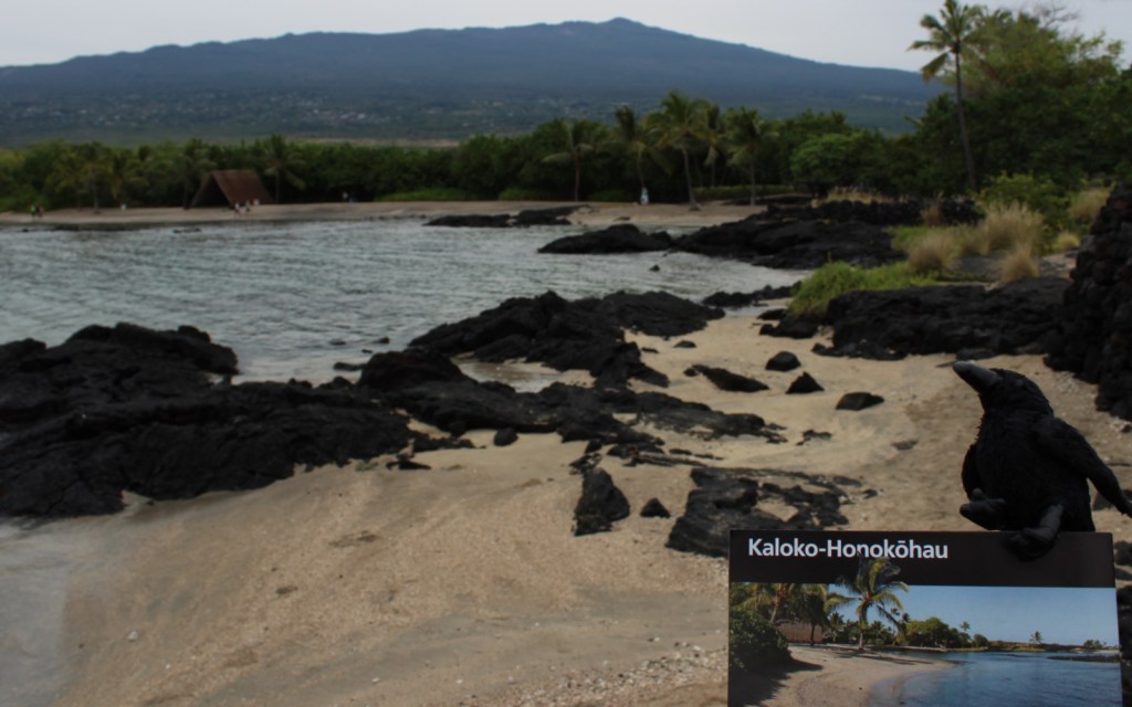
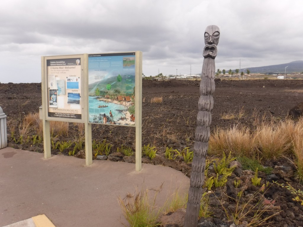
Overview
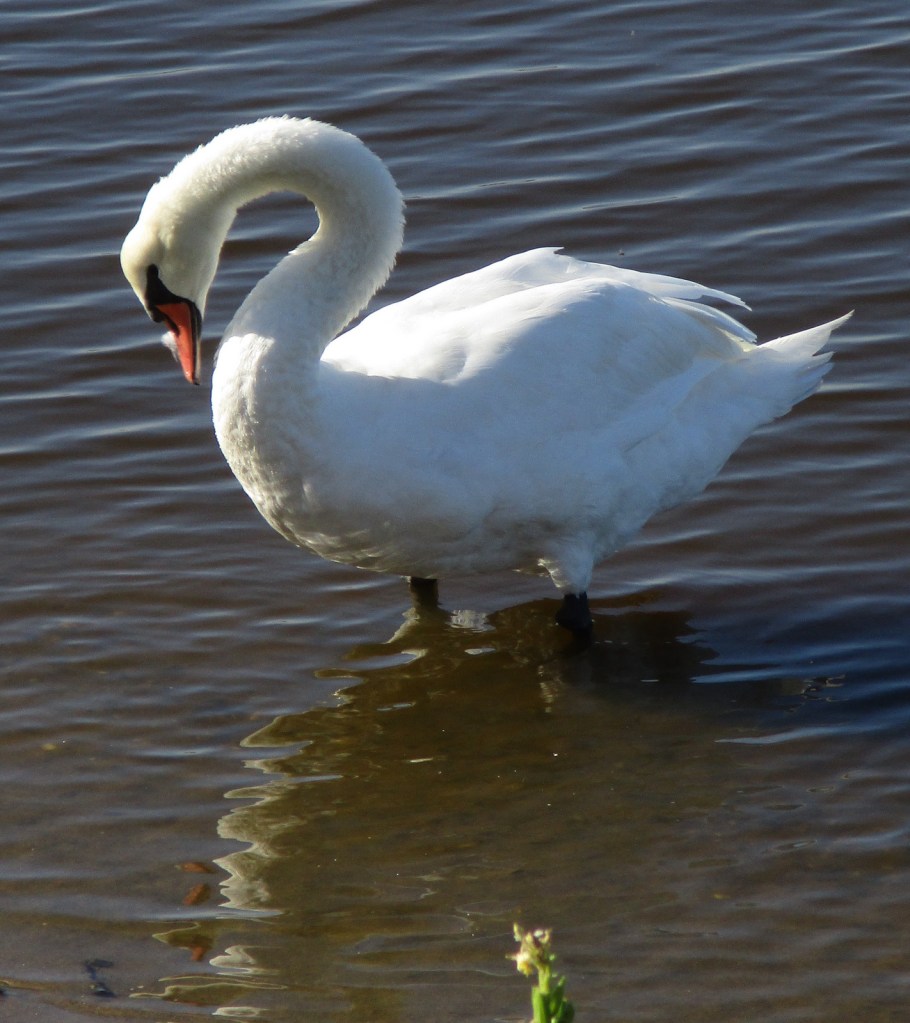
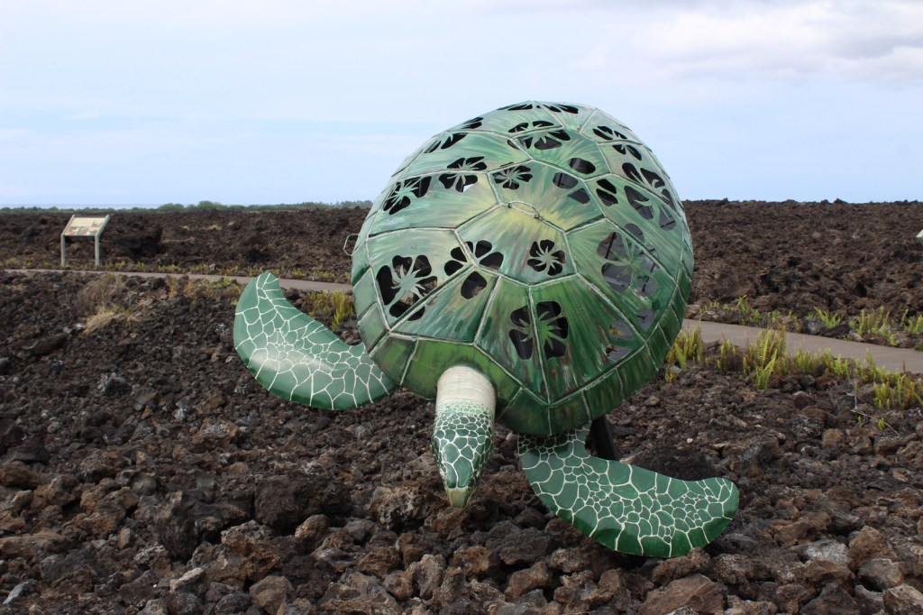
On the west coast of the Big Island of Hawai‘i, Kaloko-Honokōhau National Historical Park was established in 1978, the same year the green sea turtles were federally listed as a threatened species. This park’s current population of 130 long-term resident juvenile turtles is believed to be a direct result of that protection. The honus (green sea turtles) are visible both in the clear ocean water and onshore in haul-outs.
Highlights
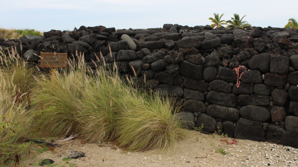
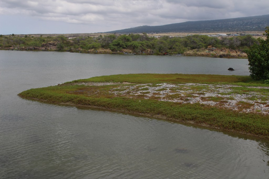
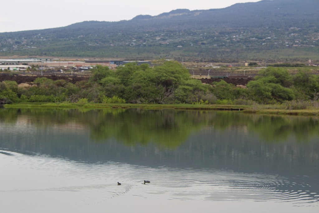
Honokōhau Beach, ‘Ai‘ōpio fishtrap, heiau (temple), Ala Kahakai National Historic Trail, Kaloko fishpond, green sea turtles
Must-Do Activity
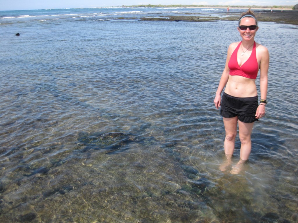
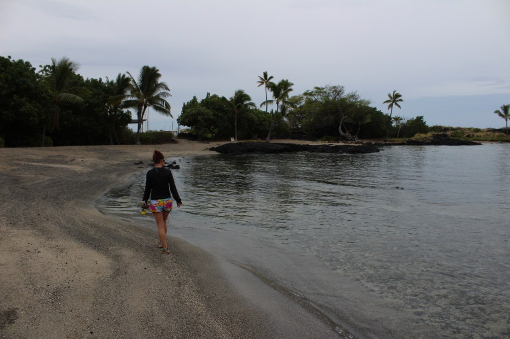
Just like wading humans, green sea turtles are attracted to the shallow, calm waters created by the ‘Ai‘ōpio fishtrap, an artificial reef built of black lava rock. Some of these young sea turtles already weigh 140 pounds! Please refrain from touching or lifting the turtles. Instead, sit in the sun on a white gravelly beach to watch the methodical paddling of these ancient reptiles on this undeveloped portion of coast on the largest island in the United States.
Best Trail
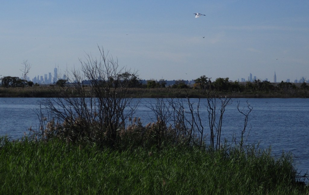
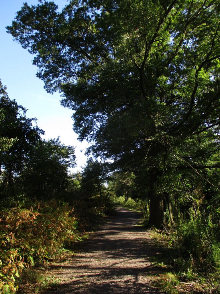
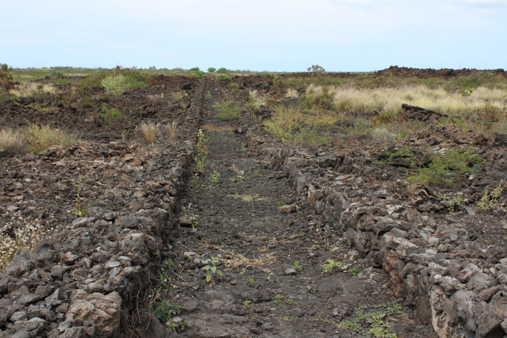
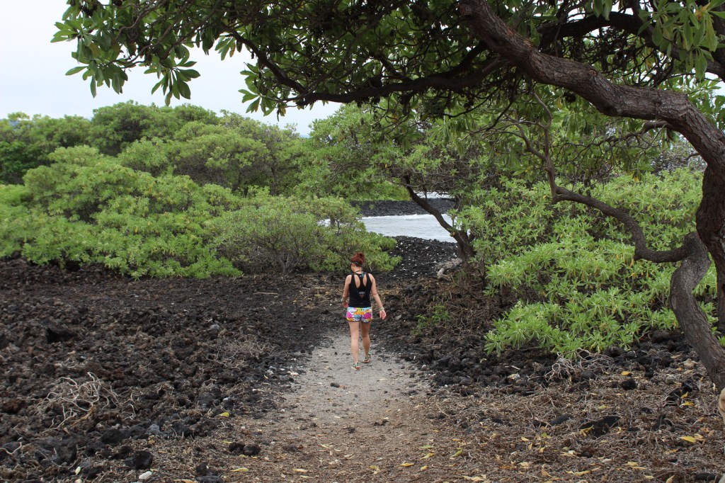
Visitors cannot park at the beach, instead they have to walk a half-mile one-way, which keeps the numbers down. Two historic trails go to fishponds in this dry, volcanic landscape.
Instagram-worthy Photo
At Honokōhau Beach, next to the ‘Ai‘ōpio fishtrap is a reconstructed hālau (long house), a nice spot to take a break in the shade.

Peak Season
Year round
Hours
https://www.nps.gov/kaho/planyourvisit/hours.htm
Fees
None
Road Conditions
The main entrance is off Highway 19, but there is a good dirt road that accesses Kaloko fishpond that is gated at night.
Camping
Hawai‘i Volcanoes National Park offers a campground, but if you want to camp near the beach look into the state parks and county parks.
Related Sites
Pu’uhonua o Honaunau National Historical Park (Hawai‘i)
Pu’ukohola Heiau National Historic Site (Hawai‘i)
Kalaupapa National Historical Park (Hawai‘i)


Explore More – What did native Hawaiians use to line their 150-foot long hōlua (stone slide) for racing toboggan-like sleds?