Cimarron National Grassland
Kansas
Managed by U.S. Forest Service, Rocky Mountain Region
116,319 acres (108,176 federal/ 8,143 other)
Website: https://www.fs.usda.gov/psicc
Overview
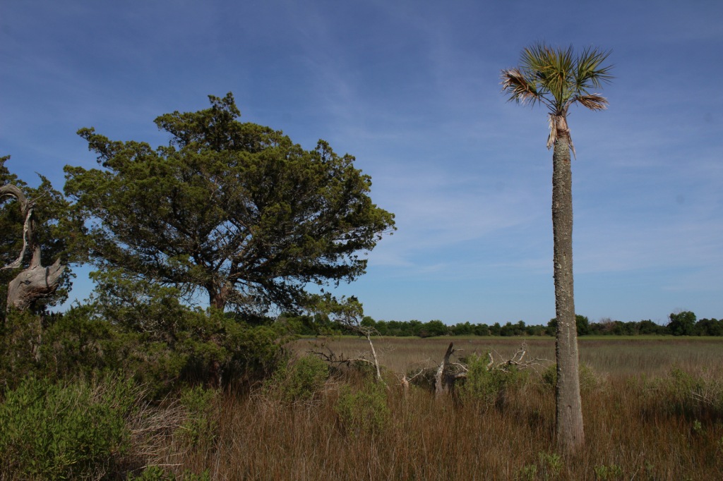
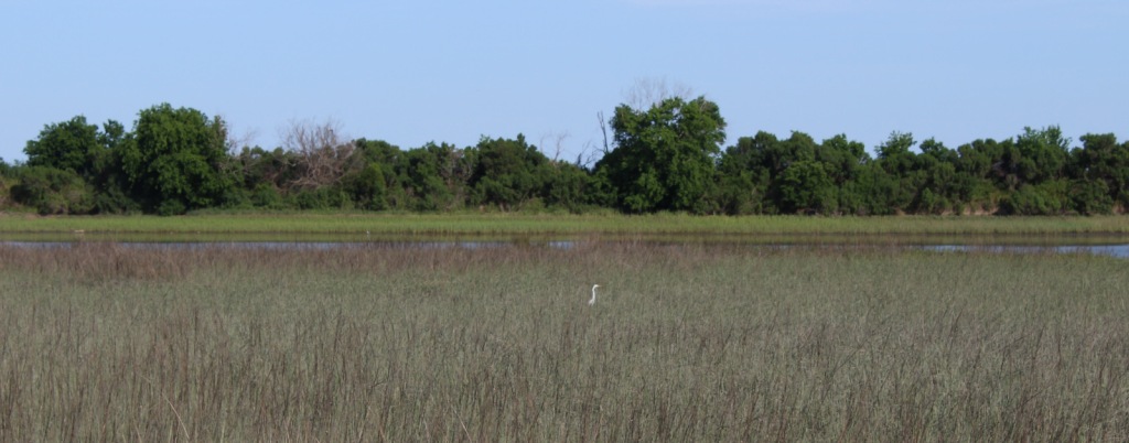
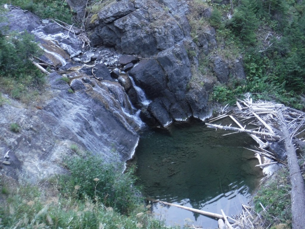
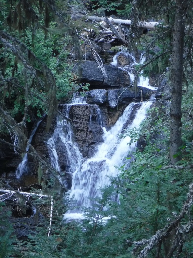
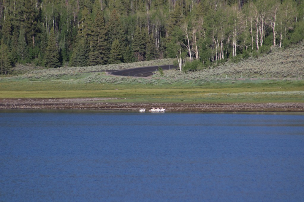
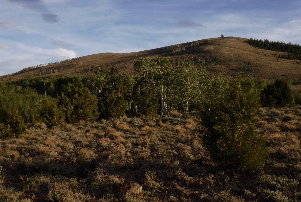
Following the devastating “Dust Bowl,” several Congressional Acts in the 1930s allowed the federal government to purchase and restore damaged agricultural lands in the Great Plains. Most of the 20 National Grasslands have their origin in these times, which is why they are often a patchwork of federal and private ownership. Cimarron National Grassland is no exception, although its fairly contiguous swath of government land in the southwest corner of Kansas represents the largest parcel of public land in the entire state. Today recreation is one of the multiple uses of this landscape, that also includes cattle grazing and oil/gas drilling. There are 200 stock ponds here (a few stocked with gamefish), plus the Cimarron River, which even when appearing dry often flows a foot below the surface. Cimarron is a Spanish word for a feral horse, like an American mustang.

Highlights
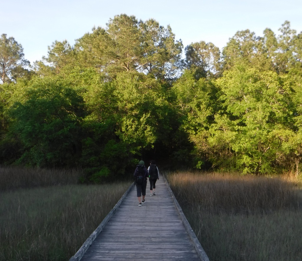
Point of Rocks, Cimarron Overlook, Middle Spring, Cottonwood Picnic Area, Cimarron Recreation Area, Turkey Trail, Companion Trail, Santa Fe National Historic Trail
Must-Do Activity
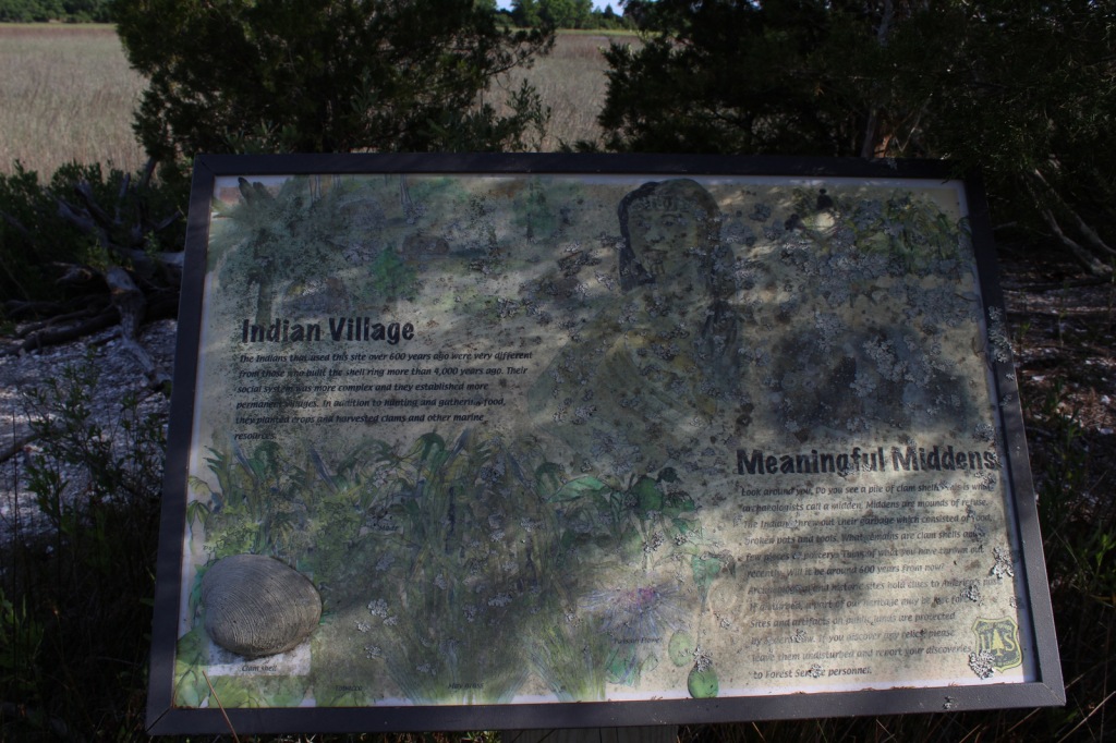
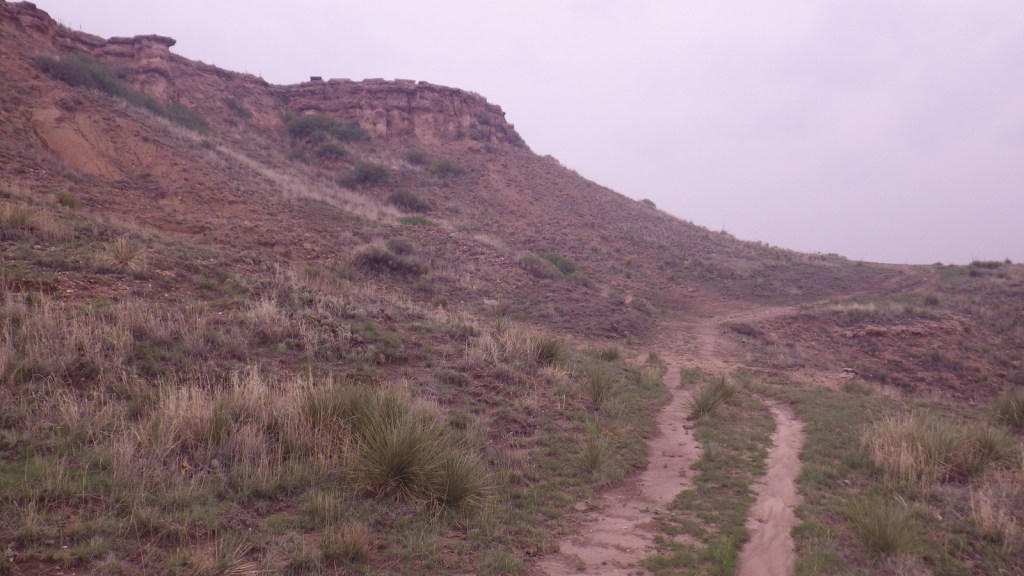
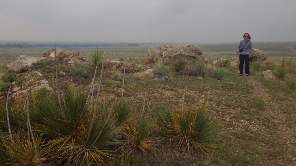
Point of Rocks is the third-highest point in Kansas and was a major landmark on the Cimarron Route of the Santa Fe National Historic Trail that later became a permanent settlement. There are no buildings left here, but the parking lot offers interpretive signs and a great view across the Cimarron River. A steep trail from the top accesses the Companion Trail that parallels the Santa Fe National Historic Trail for 19 miles through the National Grassland. A mile back towards Highway 27, Middle Spring is on the National Register of Historic Places as one of only three reliable water sources along the Cimarron Route.
Best Trail
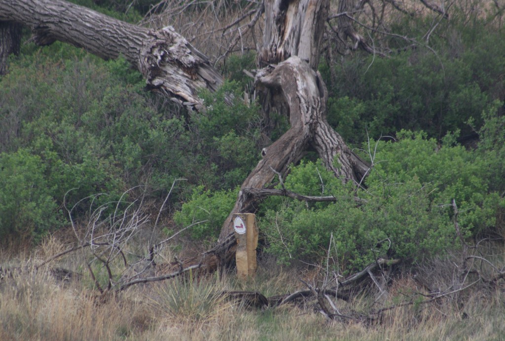
The Turkey Trail is open to OHVs and connects 10.5 miles from Cottonwood Picnic Area to Cimarron Recreation Area, where the Cimarron River Trail continues east for another ten miles or so.
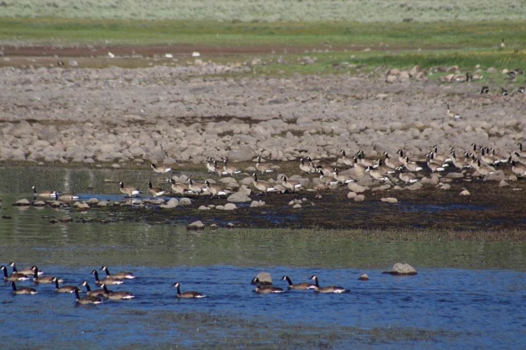
Watchable Wildlife
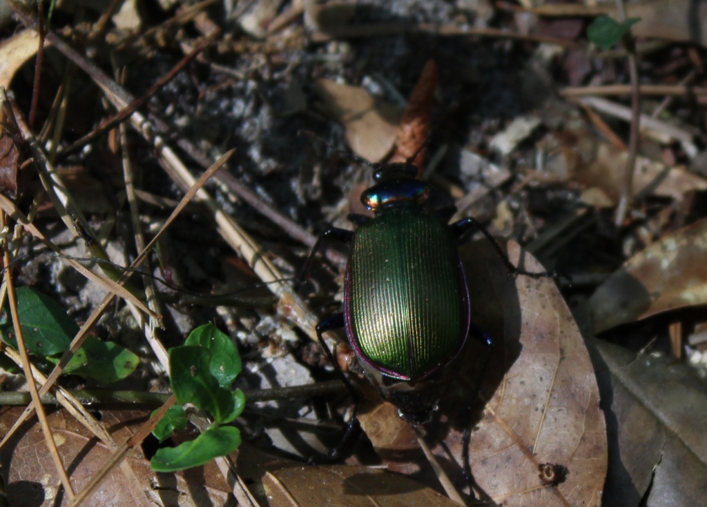
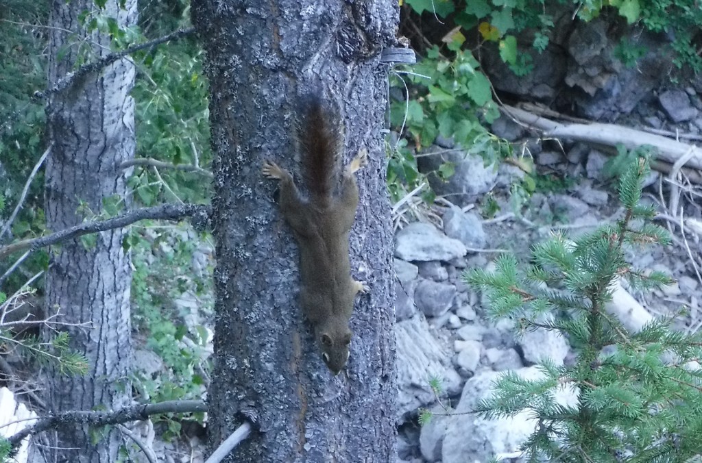
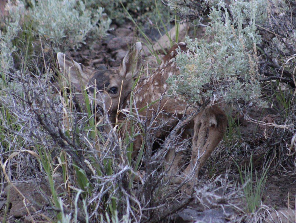
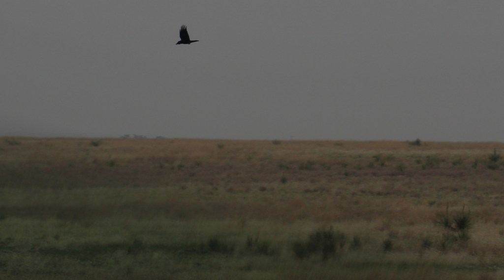
Cimarron National Grassland is one of the best places in Kansas for birdwatching with more than 360 species identified. There are two lesser prairie-chicken leks with permanent blinds set up for watching spring mating rituals. During our short visit we spotted ravens, turkey vultures, shrikes, redwing blackbirds, mourning doves, meadowlarks, red-headed woodpeckers, barn swallows, kingbirds, Bullock’s orioles, canvasbacks, and some variety of hawk. Based on the signs there are also mountain plovers and burrowing owls, which inhabit the burrows of prairie dogs and can imitate the sound of a prairie rattlesnake. When we arrived at the smoke-obscured overlook for Point of Rocks we startled a group of four mule deer, and we also read that elk were reintroduced here at one point.
Instagram-worthy Photo
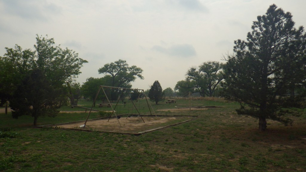
Cottonwood Picnic Area is fenced off from river access, but it has picnic tables and a playground with old-school equipment like teeter-totters. There is also a fun table with metal seats from old tractors and two old tractors unearthed in 2003 after being buried to stabilize the river bank following floods in the 1930s.

Peak Season
Spring
Fees
None
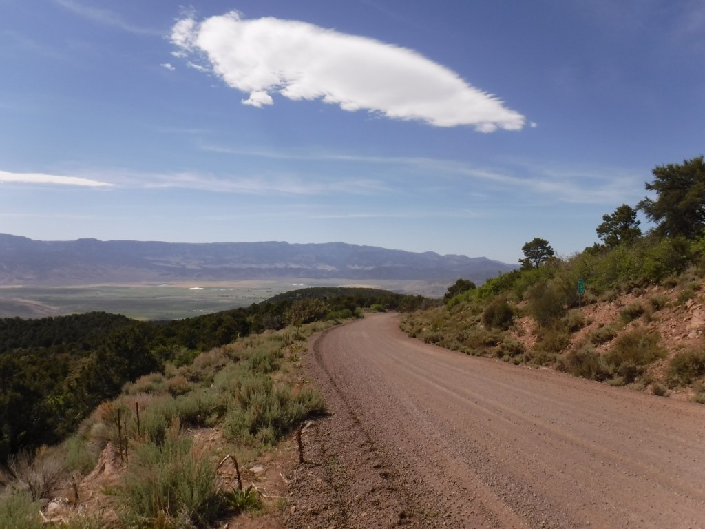
Road Conditions
Paved Highway 27 cuts north-south through the National Grassland bisecting the unpaved Sea of Grass Auto Tour, which we found to be in good shape at least for the three miles to Point of Rocks.
Camping
Cimarron Recreation Area offers 14 campsites, fishing ponds, and a corral for horses, plus dispersed camping is allowed in most of the National Grassland.
Related Sites
Tallgrass Prairie National Preserve (Kansas)
Fort Larned National Historic Site (Kansas)
Nicodemus National Historic Site (Kansas)
Nearest National Park


Explore More – Passed in 1937, what Congressional Act requires 25% of revenue generated by the National Grasslands to be returned to the county for schools and roads?