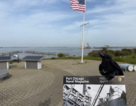
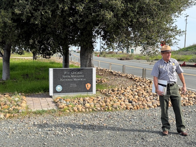
Port Chicago Naval Magazine National Memorial
California
Managed by National Park Service
Established 1992
5 acres
Website: nps.gov/poch
Overview
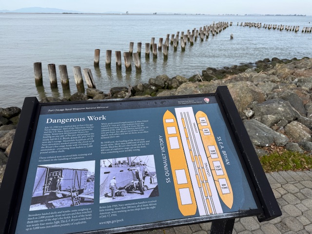
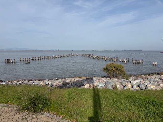
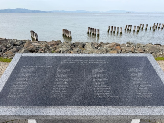
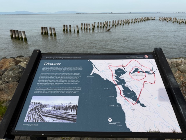
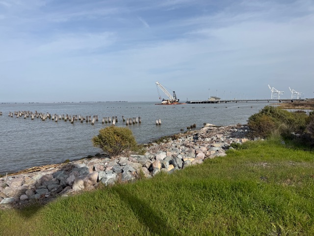
On July 17, 1944 at 10:18 p.m., a massive explosion at a U.S. Navy facility rocked the San Francisco Bay area. The blast started at a pier where munitions were being loaded onto two ships and killed 320 men. The majority of the dead were African American sailors who were segregated at the time and not allowed to serve in combat roles or as officers. After refusing to return to unsafe working conditions, 206 sailors were convicted after a summary courts-martial, and the “Port Chicago 50” were sentenced to 15 years imprisonment for mutiny. After receiving negative publicity, the Navy actually became the first of the military branches to integrate during World War II, well before President Truman required it in 1948. On January 6, 1946, the Navy released 47 of the 50 men being held and in 2024, the Navy posthumously exonerated all 256 men and vacated any remaining dishonorable discharges.
Highlights
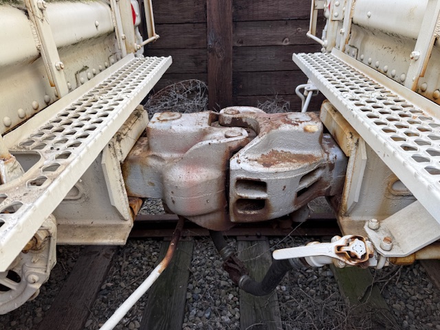
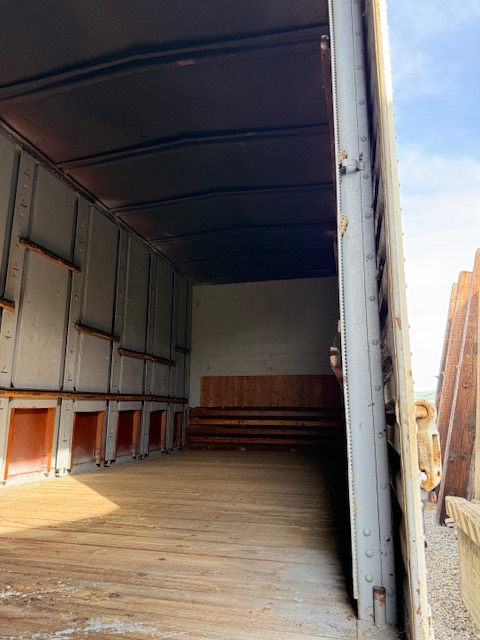
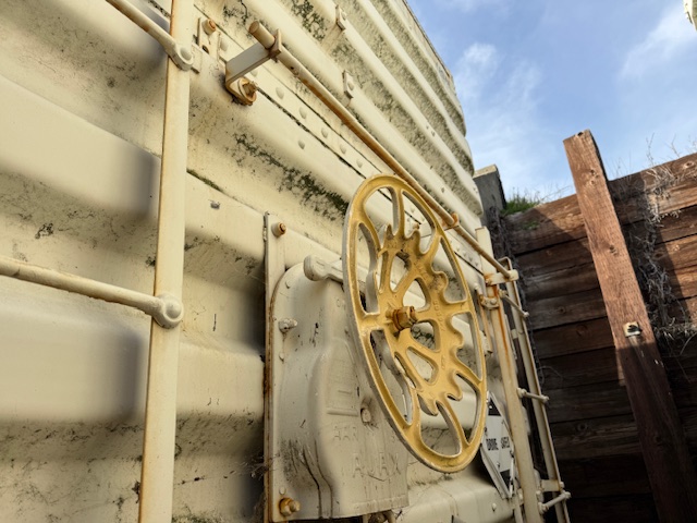
Memorial, film, revetment
Must-Do Activity
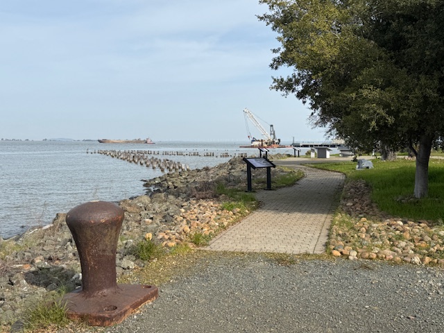
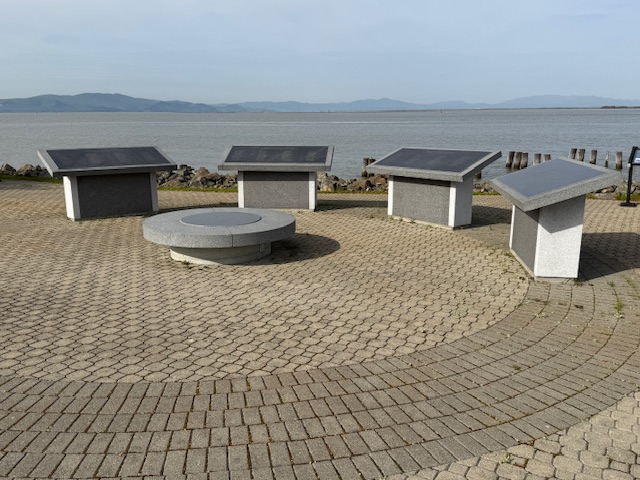
The memorial is located on an active military base called Military Ocean Terminal Concord on Suisun Bay. Therefore, all visitors are required to be U.S. Citizens and must make a reservation at least two weeks before their visit by calling or emailing the National Park Service (NPS) to receive a background check. Tours are given only on Thursdays, Fridays, or Saturdays and meet at John Muir National Historic Site (where you can watch a short film) in Martinez where the group boards government vehicles to drive to the site. After a thorough search of the vehicle and each visitor getting checked off a list, it is a short drive to the memorial where the NPS ranger explains the history of the site at two locations with time to walk around and take photos (but only of the memorial area).
Best Trail
None
Photographic Opportunity
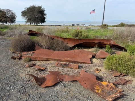
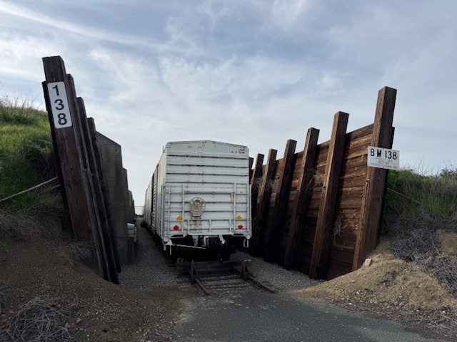
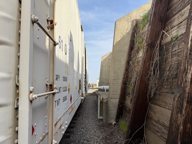
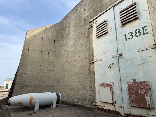
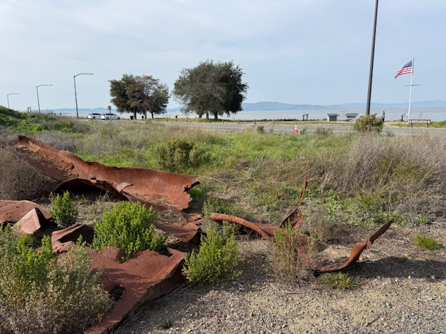
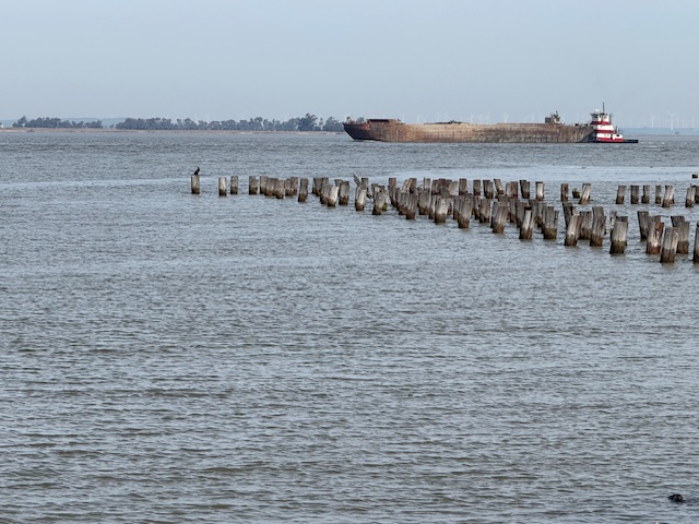
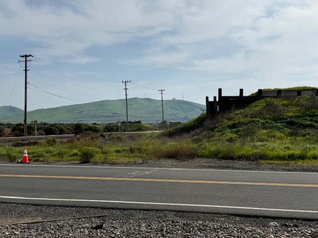
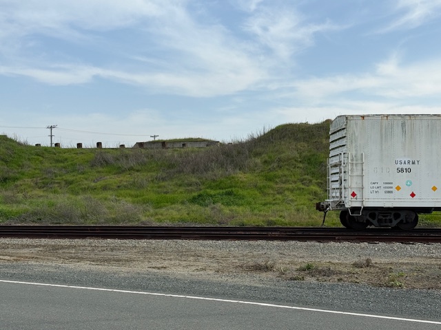
Shrapnel from the 1944 blast is located at the first stop on the guided tour where historic train cars are parked in a revetment.
Peak Season
Summer
Hours
Tours are available only on Thursdays, Fridays, or Saturdays when the base is not closed to civilians.
https://www.nps.gov/poch/planyourvisit/hours.htm
Fees
None
Road Conditions
All roads are paved to John Muir National Historic Site where there is a free parking lot.
Camping
There are campgrounds at Mount Diablo State Park and backcountry campsites (permit required) at Point Reyes National Seashore.
Related Sites
Rosie the Riveter/World War II Home Front National Historical Park (California)
Muir Woods National Monument (California)
Tuskegee Airmen National Historic Site (Alabama)
Nearest National Park
Explore More – What future Supreme Court Justice observed the courts-martial and has a regional park named in his honor near Port Chicago Naval Magazine National Memorial?