Overview
At one time Shenandoah National Park was entirely private owned, then in the 1930s the government of Virginia went about “procuring” the land for a grand National Park in the east. These mountains are renowned for their colorful fall foliage, which peaks in October, when 18% of annual visitors arrive. If you are looking to avoid traffic in a park only 70 miles from Washington, D.C., we recommend coming in February when almost every park amenity is closed.
Highlights
Skyline Drive, Stony Man, Limberlost Trail, Dark Hollow Falls, Rapidan Camp, Old Rag Mountain
Must-Do Activity
Skyline Drive runs 105 miles to form the backbone of this narrow National Park. Driving at the posted 35 mile-per-hour speed limit, it takes 3 hours to drive in its entirety if you do not stop once. But with 75 overlooks and 513 miles of trails to choose from, who would want to do that? Skyline Drive is paralleled by 101 miles of the famous 2,185-mile Appalachian National Scenic Trail.
Best Trail
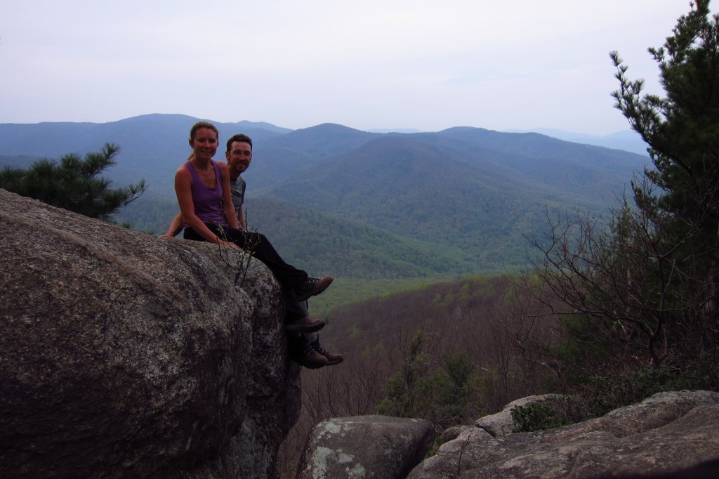
The trailhead for Old Rag Mountain is located east of the park off Highway 231 (not Skyline Drive), but it is the most popular hike. The challenging route over slick rock faces and narrow corridors provides wonderful views of the ridgeline that comprises Shenandoah National Park. Due to the number of hikers, it is recommended you complete a 7.1-mile loop by connecting Ridge Trail with Saddle Trail.
Instagram-worthy Photo
Throughout the park there are numerous trails to waterfalls, though some may run dry in the summer. The shortest hike, at 1.4 miles roundtrip, leads to 70-foot tall Dark Hollow Falls.
Peak Season
Summer, plus mid-October for fall foliage
Hours
https://www.nps.gov/shen/planyourvisit/hours.htm
Fees
$30 per vehicle or America the Beautiful pass
Road Conditions
The park’s paved backbone Skyline Drive is occasionally closed after major snowstorms. Located at Mile 32 (measured from Port Royal, Virginia in the north), the 670-foot long Mary’s Rock Tunnel allows a maximum vehicle height of 12 feet, 8 inches.
Camping
There are four seasonal campgrounds located along Skyline Drive and backpacking is allowed with a free permit. West of the Shenandoah River Valley, George Washington National Forest also provides camping opportunities.
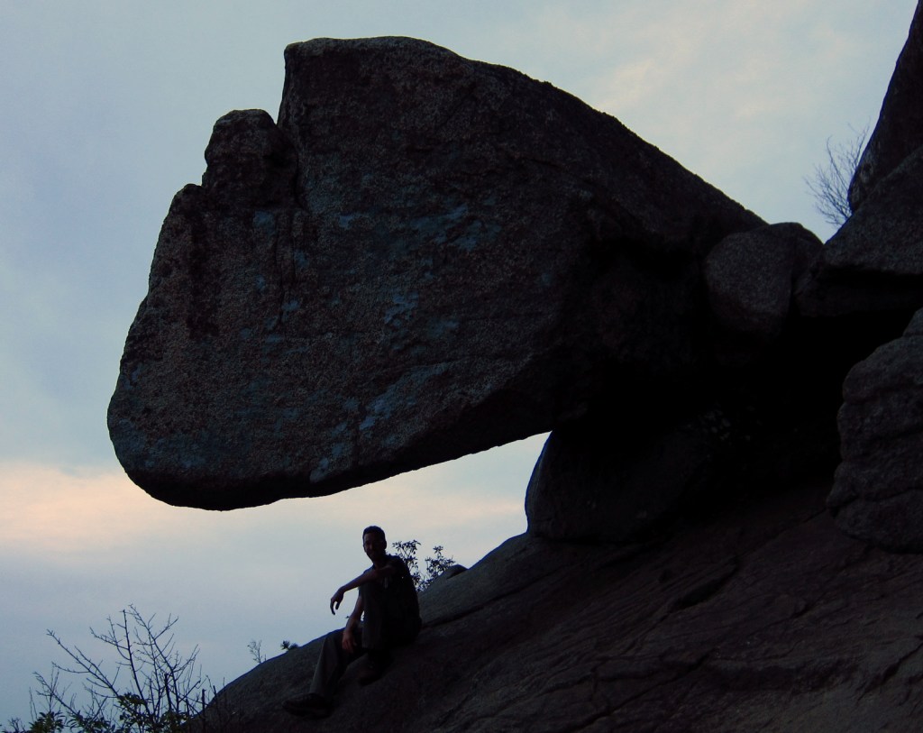
Scott on the trail to Old Rag Mountain 
Pink azaleas 
Tiff on the Limberlost Trail in February 
Ferns unfolding as fiddleheads 
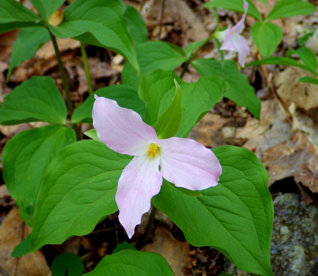
Trillium in bloom 
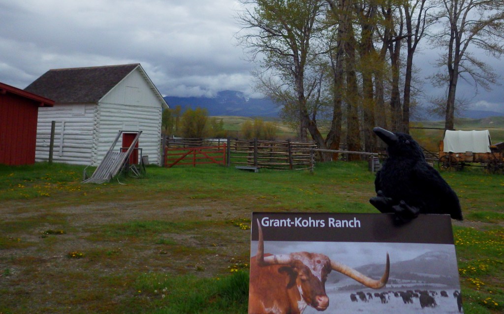
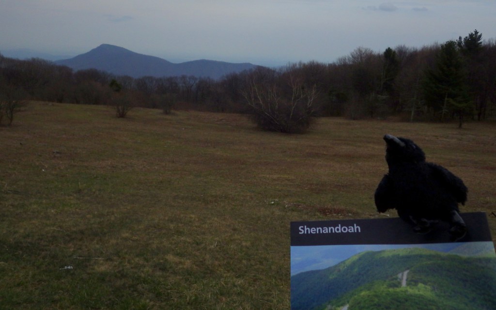
Ravens in the National Park 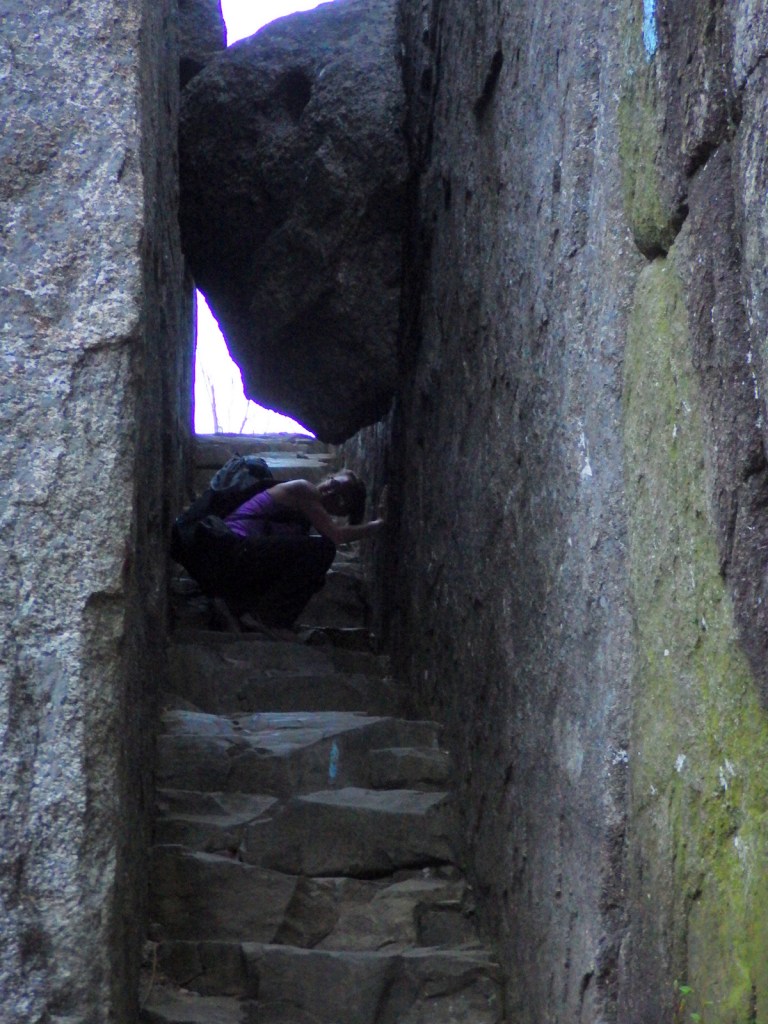
Tiff on the trail to Old Rag Mountain

Explore More – What percentage of the 199,218 acres in Shenandoah National Park is designated Wilderness?


We are a participant in the Amazon Services LLC Associates Program, an affiliate advertising program designed to provide a means for us to earn fees by linking to Amazon.com and affiliated sites.