Overview
Booker T. Washington was born in 1856 on this small plantation farm in Hardy, Virginia and freed shortly after the Confederate army’s surrender at nearby Appomattox Court House. He went on to earn an education and found the groundbreaking Tuskegee Institute in 1881. Rather than dwelling on his horrible past, Washington was inspired to work hard and maintain an indefatigable spirit. Later in life he wrote in his book Up From Slavery: “There was no period of my life that was devoted to play… From the time that I can remember anything, almost every day of my life has been occupied in some kind of labor.”
Highlights
Museum, film, reconstructed buildings, farm animals, Jack-O-Lantern Branch Trail
Must-Do Activity
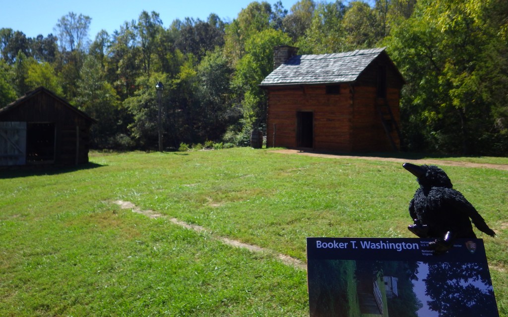
A bronze bust of Booker T. Washington is the first thing visitors see when they approach the National Monument. The National Park Service (NPS) has reconstructed several buildings on the farm in a style consistent with the 1850s, as seen on the quarter-mile self-guided trail. The NPS keeps livestock similar to that which was here at the time, including pigs, cattle, chickens, turkeys, and ducks. This site demonstrates that antebellum life in the South was not all aristocrats on large plantations.
Best Trail
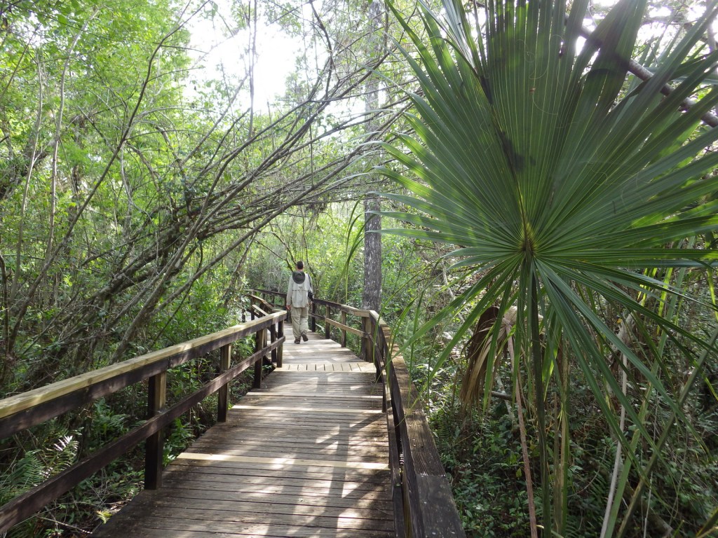
The Jack-O-Lantern Branch Trail winds 1.5 miles through the forest and fields.
Instagram-worthy Photo
None of the original buildings survive, but several have been reconstructed, including the birthplace cabin of Booker T. Washington.

Peak Season
Summer
Hours
https://www.nps.gov/bowa/planyourvisit/hours.htm
Fees
None
Road Conditions
All roads paved
Camping
Roanoke Mountain Campground is run by the NPS on the Blue Ridge Parkway 19 miles northwest of the monument.
Related Sites
Tuskegee Institute National Historic Site (Alabama)
George Washington Carver National Monument (Missouri)
Shenandoah National Park (Virginia)


Wondon outside the NPS visitor center 
Inside the NPS museum 

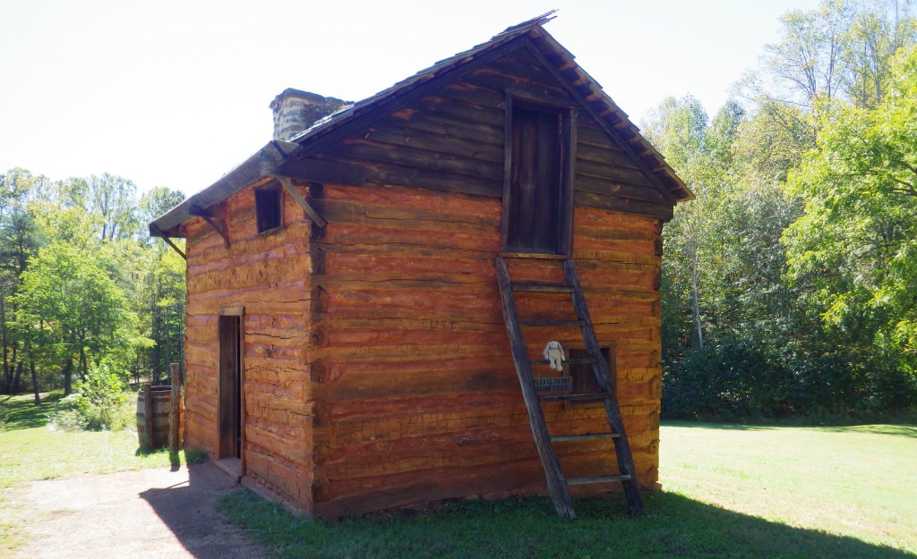
Reconstructed birthplace cabin 
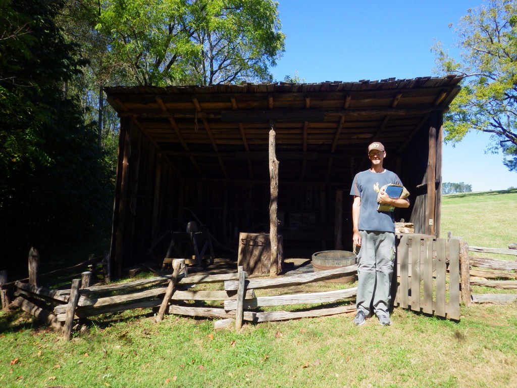
Scott at the sheep barn 
One of Booker’s tasks each autumn was to round up the hogs and fatten them up on corn. 
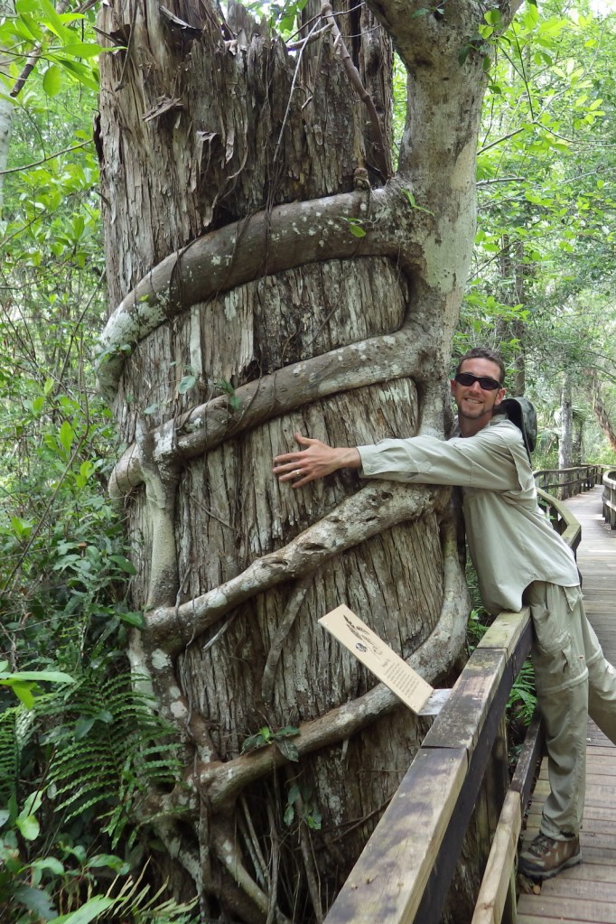
Tiff with a root sprout of a catalpa tree over 150 years old
Explore More – Washington graduated from what school for ex-slaves in 1875, which inspired him to establish Tuskegee Institute in Alabama?