Overview
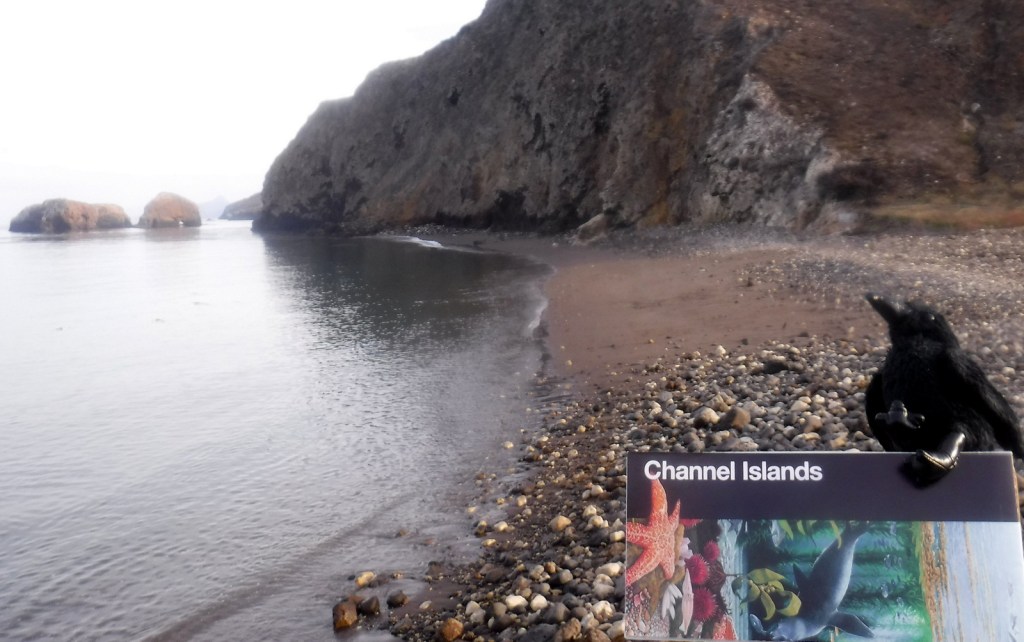
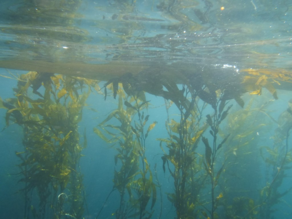
Off the coast of Ventura, California a rugged archipelago is protected as Channel Islands National Park. There is an airplane landing strip on Santa Rosa Island, but most visitors arrive to the five accessible islands by ferry. Often referred to as the “Galapagos Islands of California,” the biodiverse kelp beds are popular with scuba divers and the sea caves attract kayakers.
Learn more in our guidebook to the National Parks, A Park to Yourself: Finding Adventure in America’s National Parks (available on Amazon).
Highlights
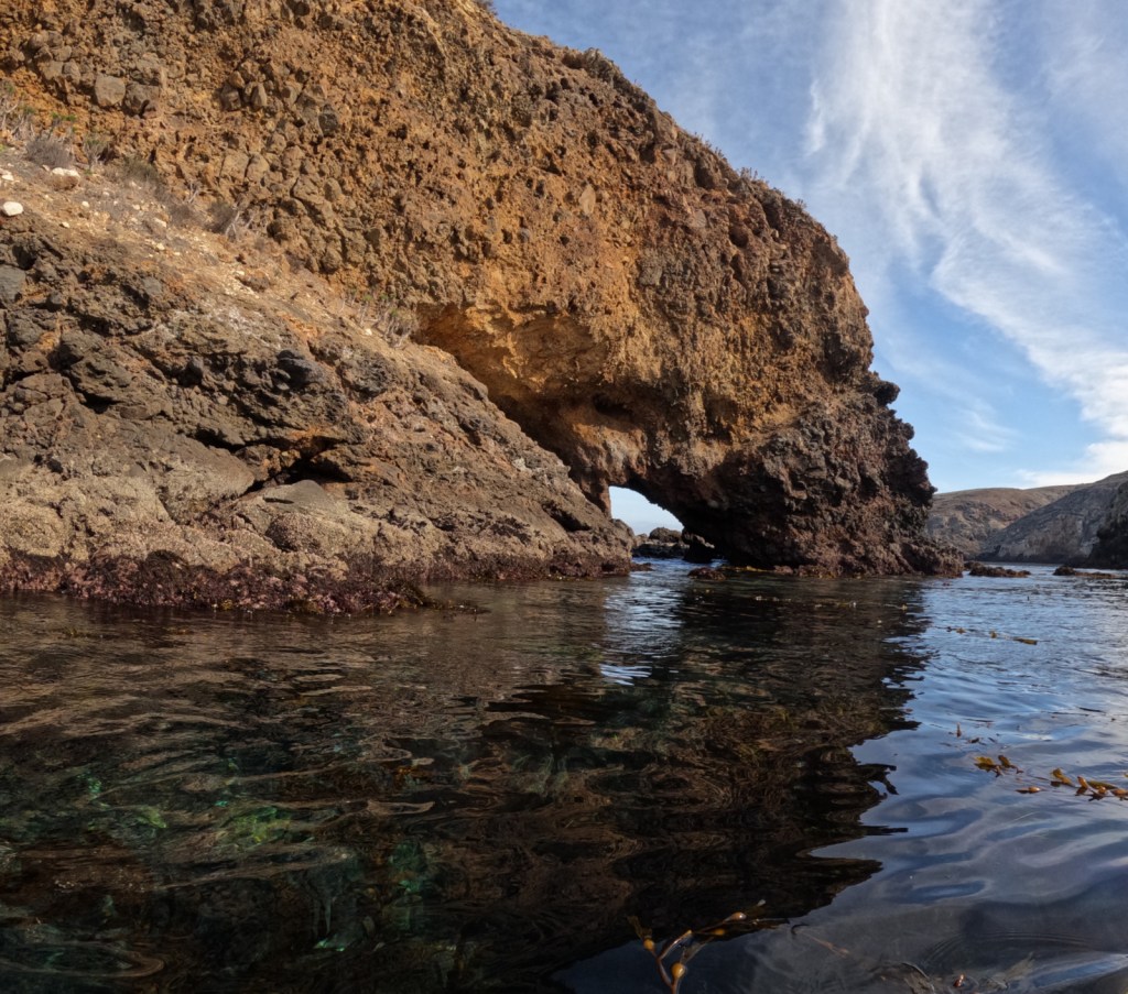
Anacapa Island, Inspiration Point, Arch Rock, wildlife
Must-Do Activity
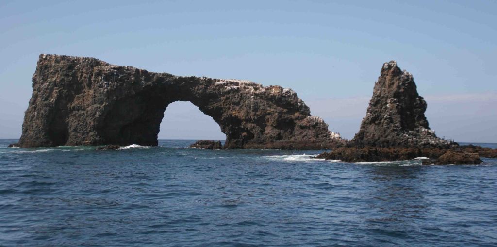
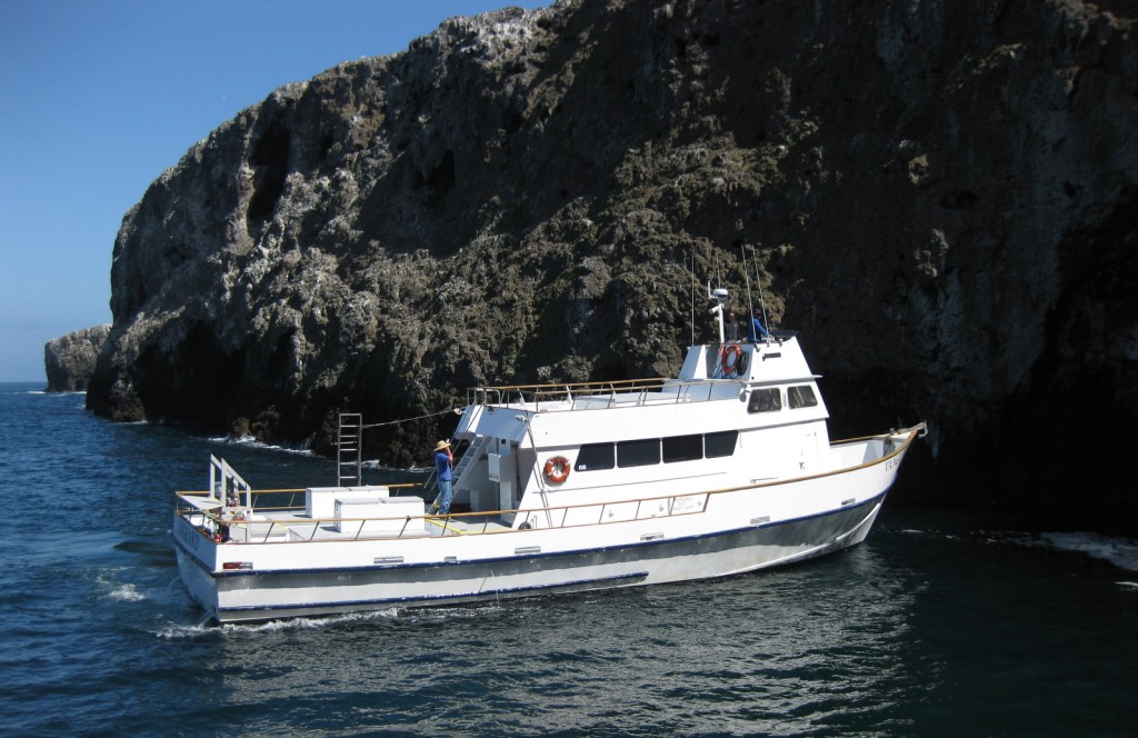
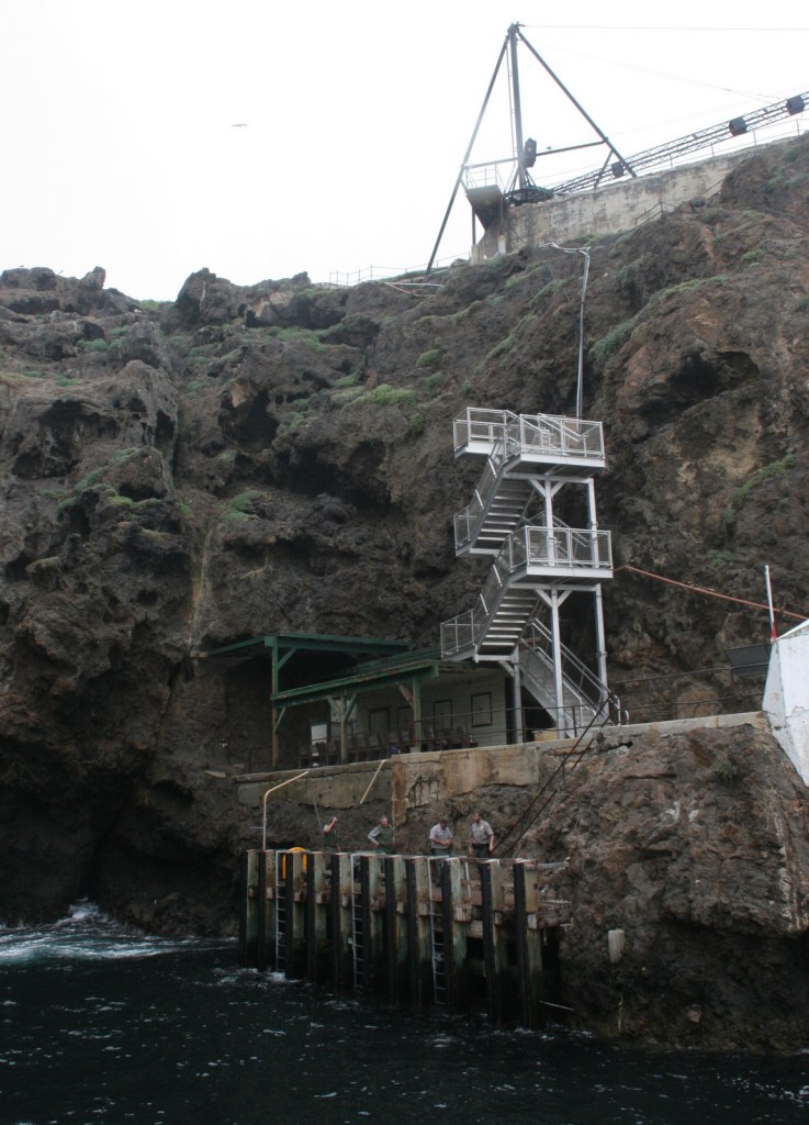
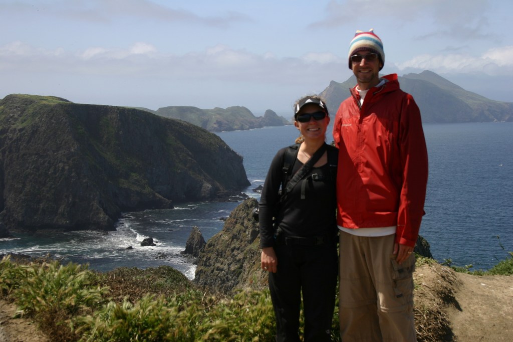
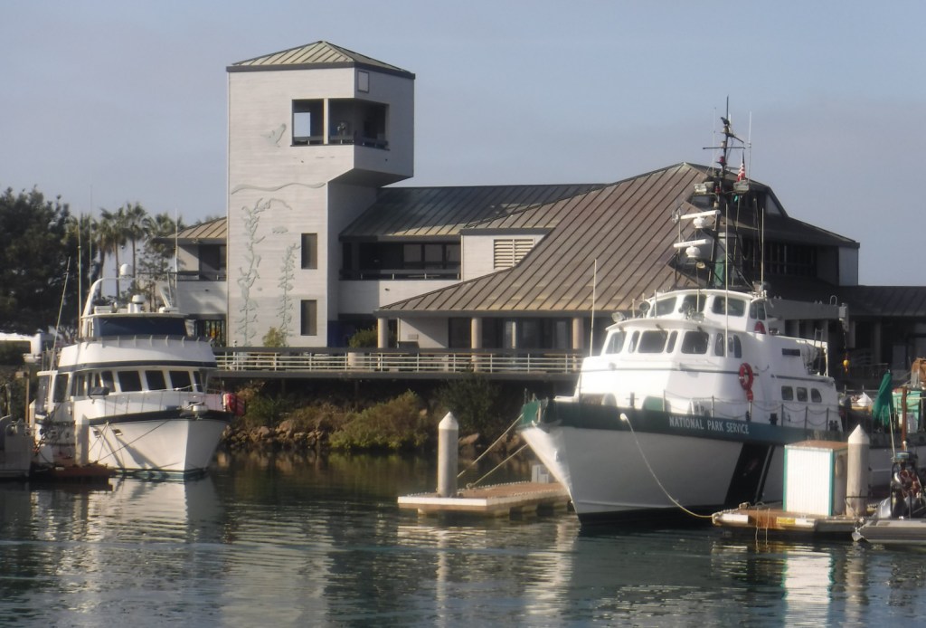
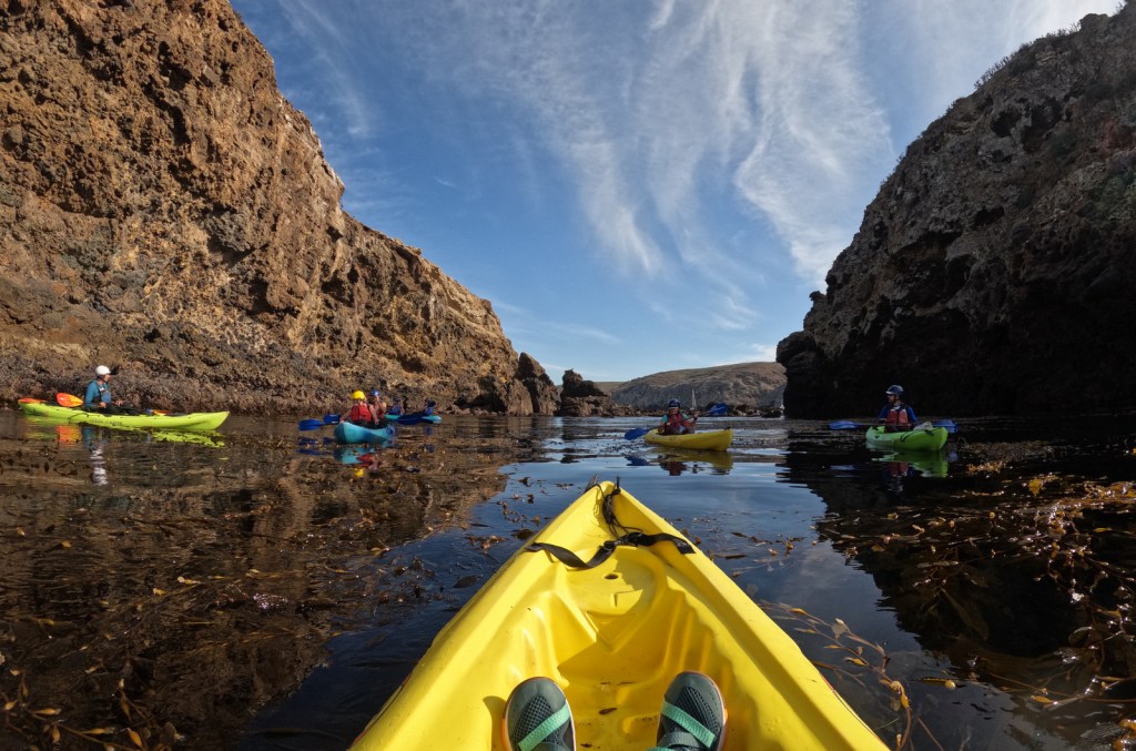
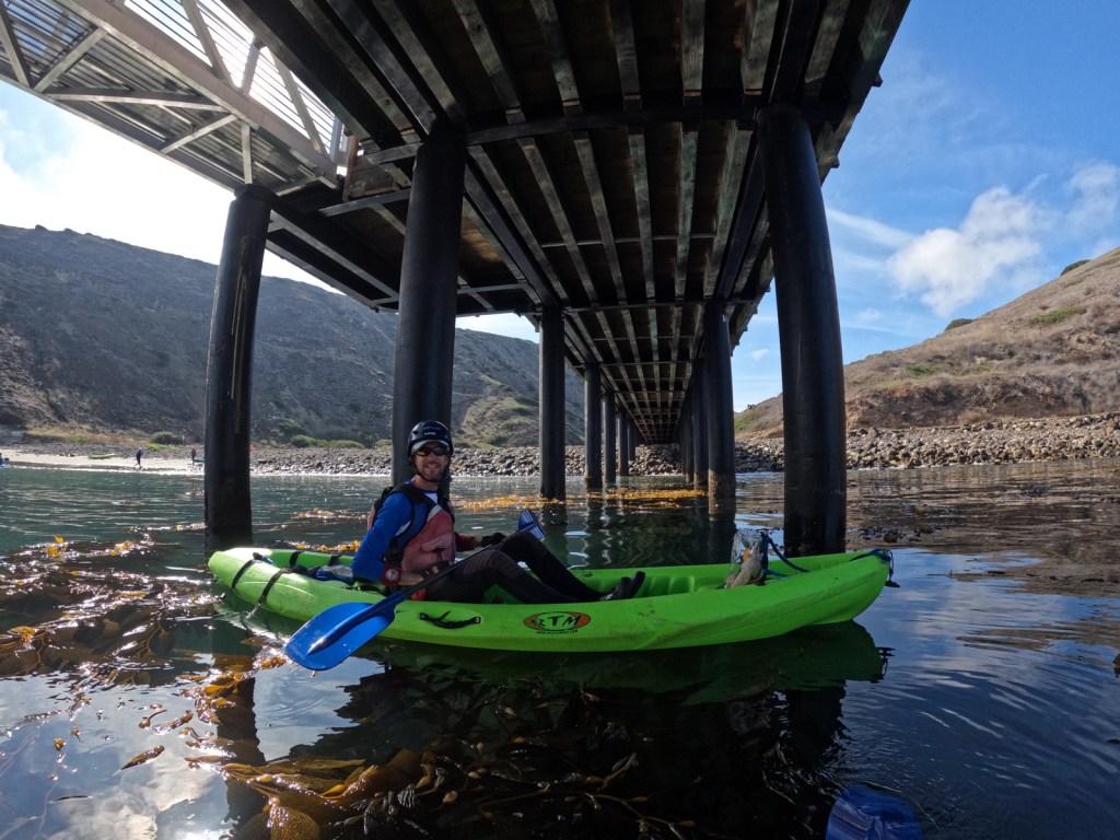
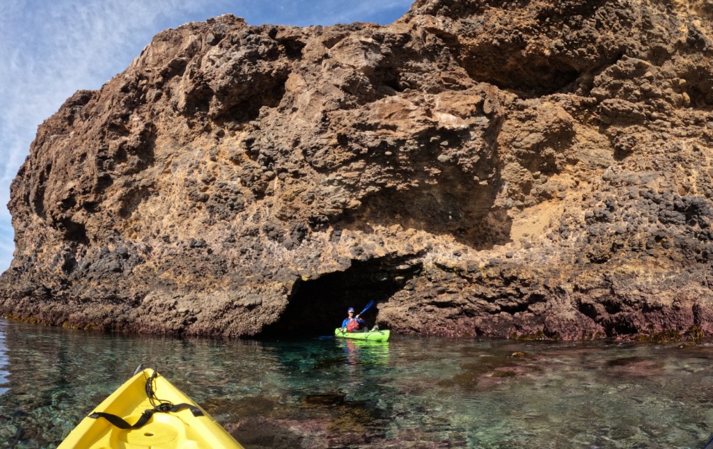
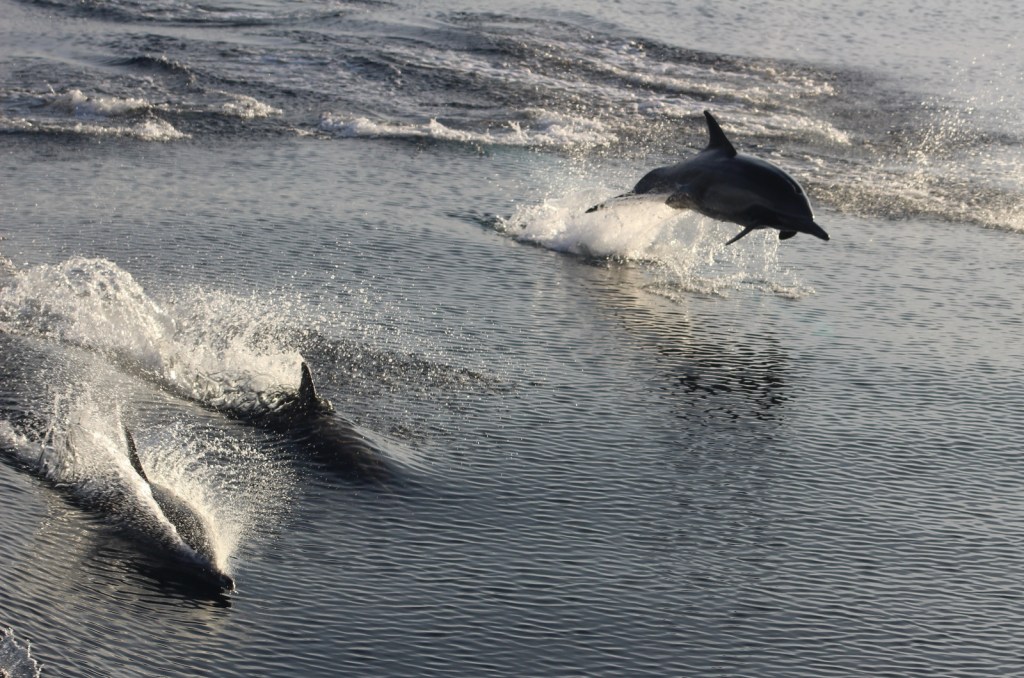
Most visitors arrive by boat, with the majority taking a day trip to tiny Anacapa Island, which you can walk all the way around in about an hour. The ferry ride is exciting in and of itself with gray whale watching, a close swing by Arch Rock, and an unforgettable landing at a dock where it is far too rough to tie up. If you want the chance to see an amazing sunset and sunrise, you have to overnight on one of the five islands (see Camping below). We also highly recommend the kayaking tour of the sea caves on Santa Cruz Island.
Best Trail
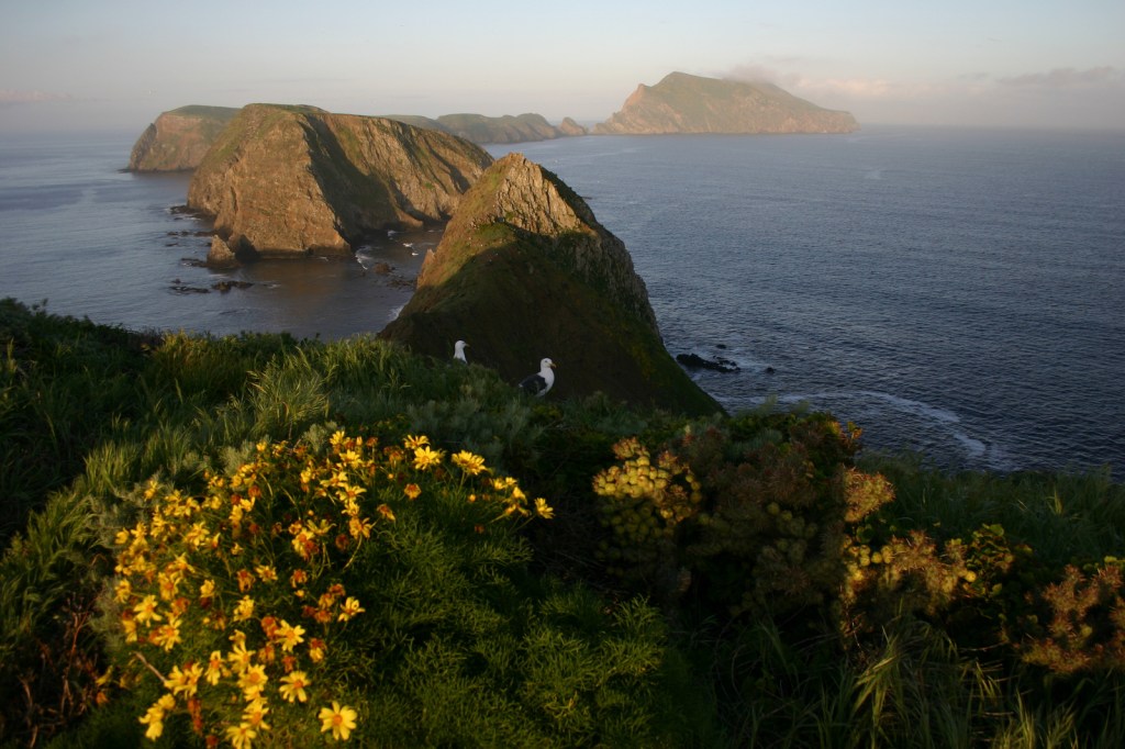
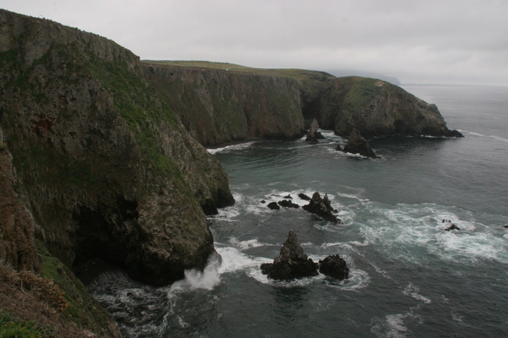
On Anacapa Island, a 1.5-mile loop trail leads around the perimeter and accesses iconic Inspiration Point. There are many miles of trails on Santa Barbara, Santa Rosa, San Miguel, and Santa Cruz Islands (and all have designated campsites).
Instagram-worthy Photo
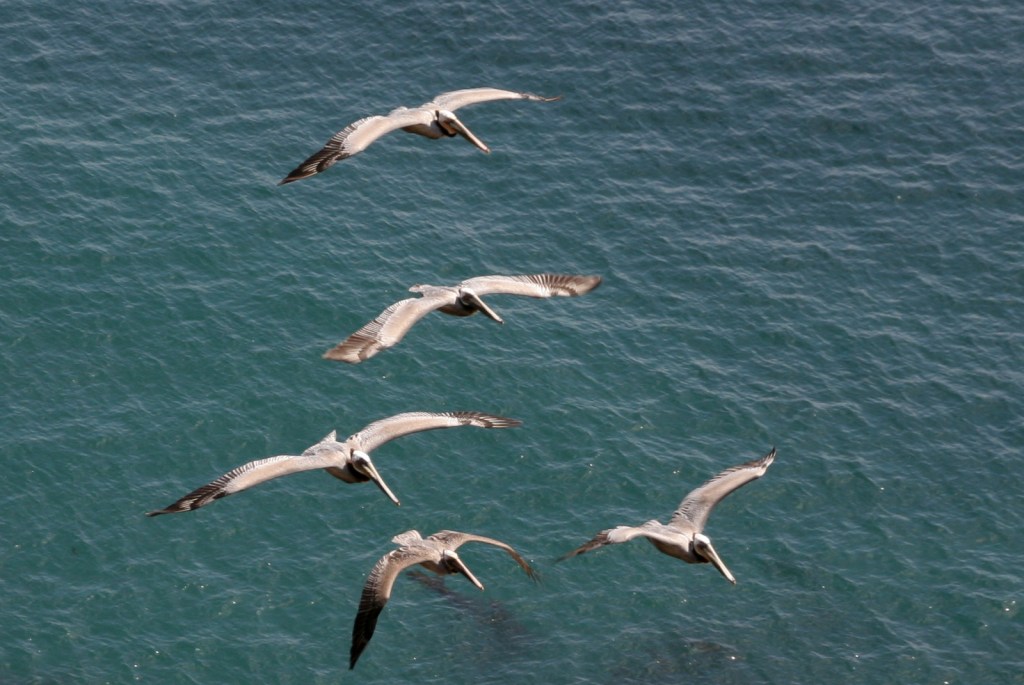
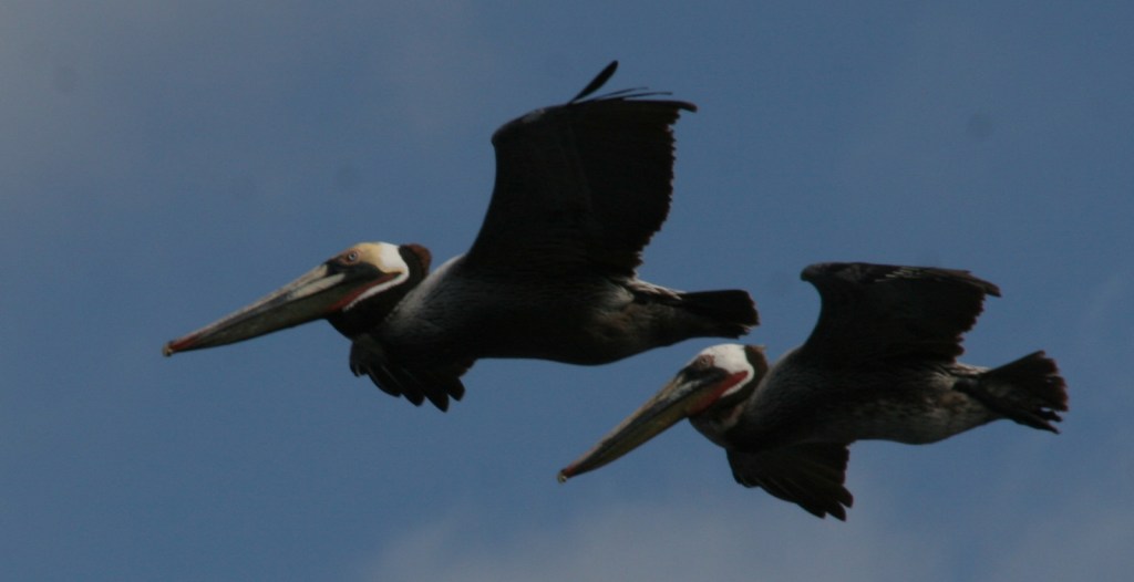
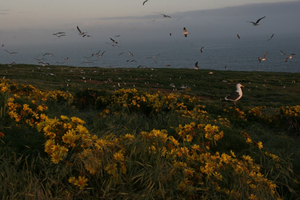
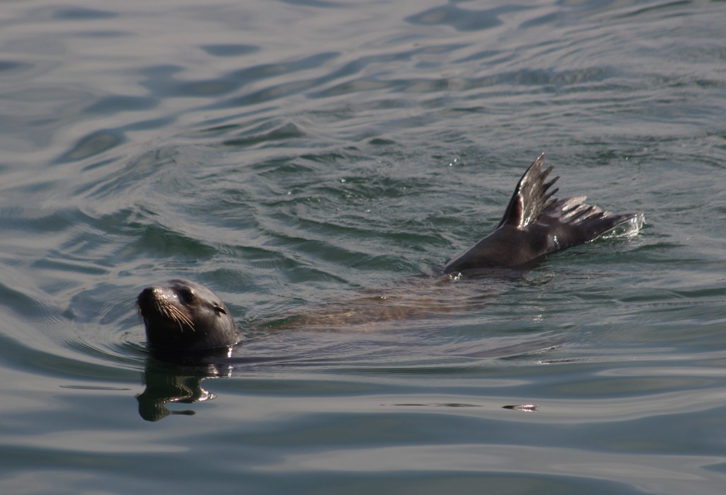
From atop Anacapa Island’s steep cliffs, we watched swimming sea lions warm their flippers in the air and flying brown pelicans catch thermals below where we stood.
Peak Season
Summer
Hours
https://www.nps.gov/chis/planyourvisit/hours.htm
Fees
There is no entry fee, but reservations are required for all overnight camping ($15 per night) and ferry prices vary by island.
Road Conditions
No roads
Camping
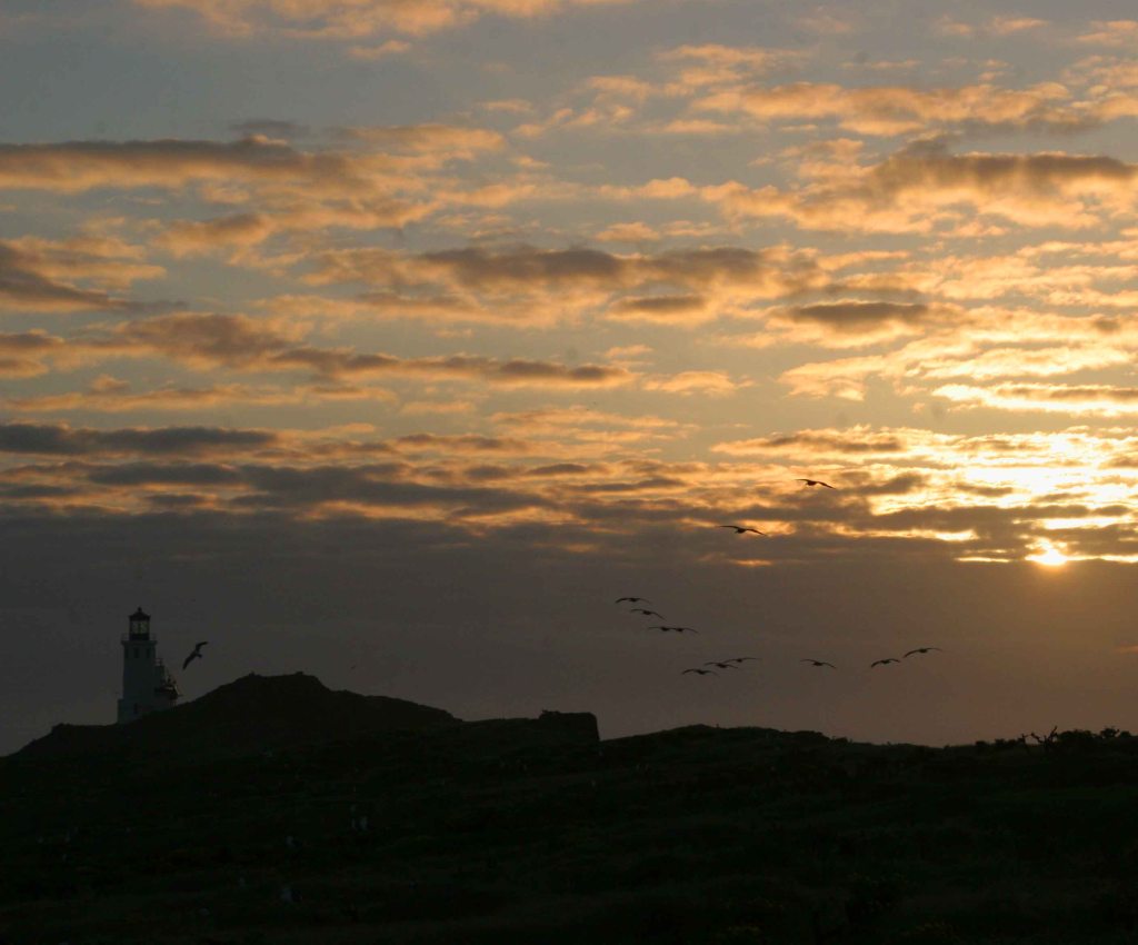
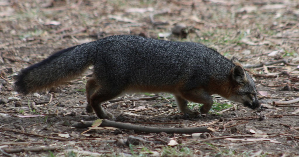
A few years ago, we stayed at the tiny backcountry campground (with no water available) on Anacapa Island in early April when the giant coreopsis flowers were completing their spectacular blooming period. It was a noisy night since the island is a rookery for thousands of western gulls, plus the lighthouse’s foghorn rumbles out a warning four times per minute. There is a large campground near the dock on Santa Cruz Island frequented by endangered island foxes.
Related Sites
Point Reyes National Seashore (California)
Santa Monica Mountains National Recreation Area (California)
Cabrillo National Monument (California)


Explore More – The largest in the archipelago, Santa Cruz Island is 62,000 acres and 76% owned by which non-profit organization?


We are a participant in the Amazon Services LLC Associates Program, an affiliate advertising program designed to provide a means for us to earn fees by linking to Amazon.com and affiliated sites.