Overview
The Shenandoah Valley was the Confederate States of America’s “breadbasket” in the 1860s and thus had strategic importance during the Civil War. This led to numerous skirmishes and the fight that took place on October 19, 1864 is commemorated at Cedar Creek and Belle Grove National Historical Park. Little of the land within this 3,700-acre park established in 2002 is owned by the federal government, but the National Park Service (NPS) has done a significant amount of work to improve its interpretive signage since our first visit in 2016.

Highlights
Morning Attack Trails, driving tour, Hupp’s Hill Museum, Belle Grove historic plantation
Must-Do Activity
If you need the stamp for your NPS passport, stop at the Visitor Contact Station located in a strip mall in Middletown, Virginia. There you can pick up a free guide to help you follow the driving tour focused on the October 19, 1864 battle fought at Cedar Creek. There is also a free app available on the park’s website. Managed by a non-profit that organizes an annual reenactment of the battle, Hupp’s Hill Civil War Park has a museum (fee). You can also pay to take a tour of the manor house at Belle Grove.
Best Trail
The Morning Attack Trails are located next to the NPS Headquarters off Highway 11 with interpretive signage placed on the 300-yard long 8th Vermont Monument Trail, 0.6-mile Thomas Brigade Loop, and 0.7-mile Hayes-Ramseur Loop.
Instagram-worthy Photo
Available for guided tours (fee) between April and December, the manor house at Belle Grove plantation dates back to 1797. Union General Philip Sheridan used the house as his headquarters in 1864 and most of his 31,600 troops camped on the property.

Peak Season
Fall
Hours
https://www.nps.gov/cebe/planyourvisit/hours.htm
Fees
Admission charged for guided tours of Belle Grove manor house and entrance to Hupp’s Hill Museum.
Road Conditions
Some of the roads on the driving tour are unpaved and not recommended for buses or RVs.
Camping
None
Related Sites
Gettysburg National Military Park (Pennsylvania)
Harpers Ferry National Historical Park (West Virginia-Maryland-Virginia)
Shenandoah National Park (Virginia)
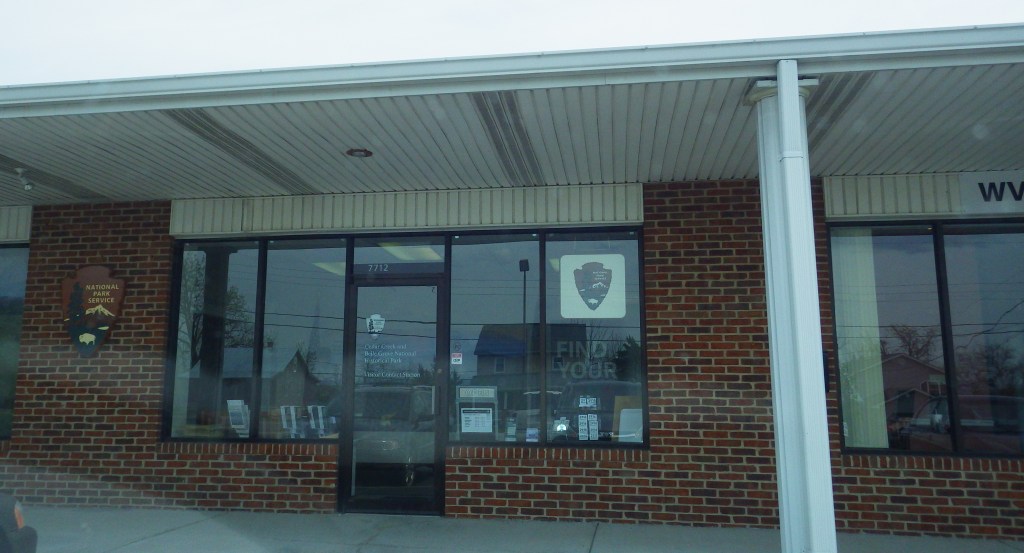
The NPS visitor contact station is located in a strip mall 
Barn at Belle Grove 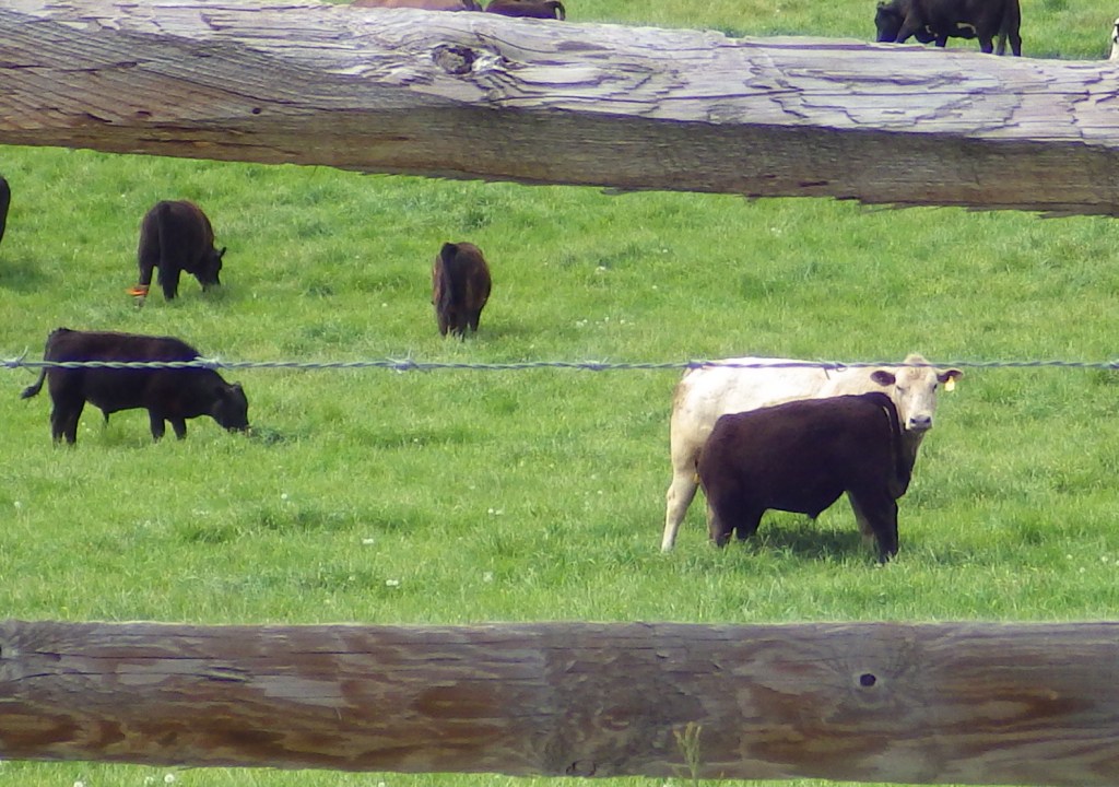

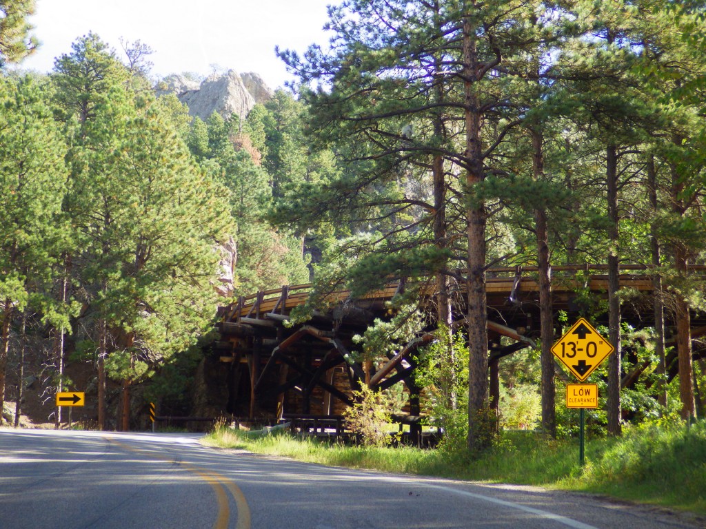
Signs along Highway 11 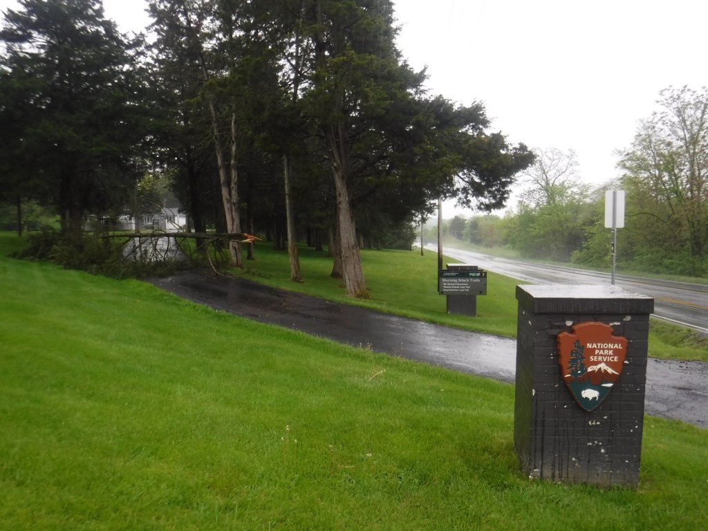
There was an eastern redcedar blocking the trailhead parking area on our 2021 visit 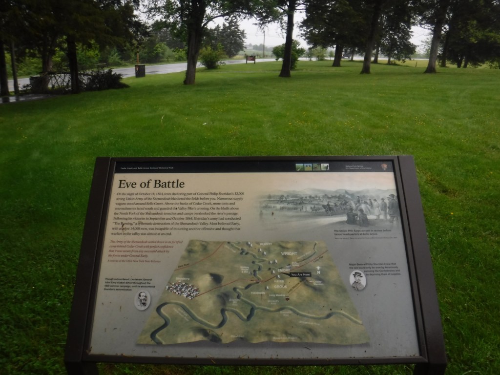
On the Morning Attack Trail 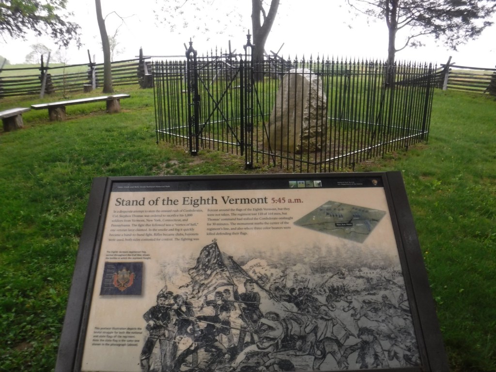

Explore More – Belle Grove was owned by Isaac Hite, Jr. and his wife Nelly, who was the sister of which U.S. President?