Tag Archives: driving tour

Georgia Road Trip Itinerary

Georgia

36,808,634 acres (1.6% of U.S.)

Statehood 1788 (4th of 50)

Capital: Atlanta

Population:  10,711,908 (8th of 50)

High Point: Brasstown Bald (4,784 feet)

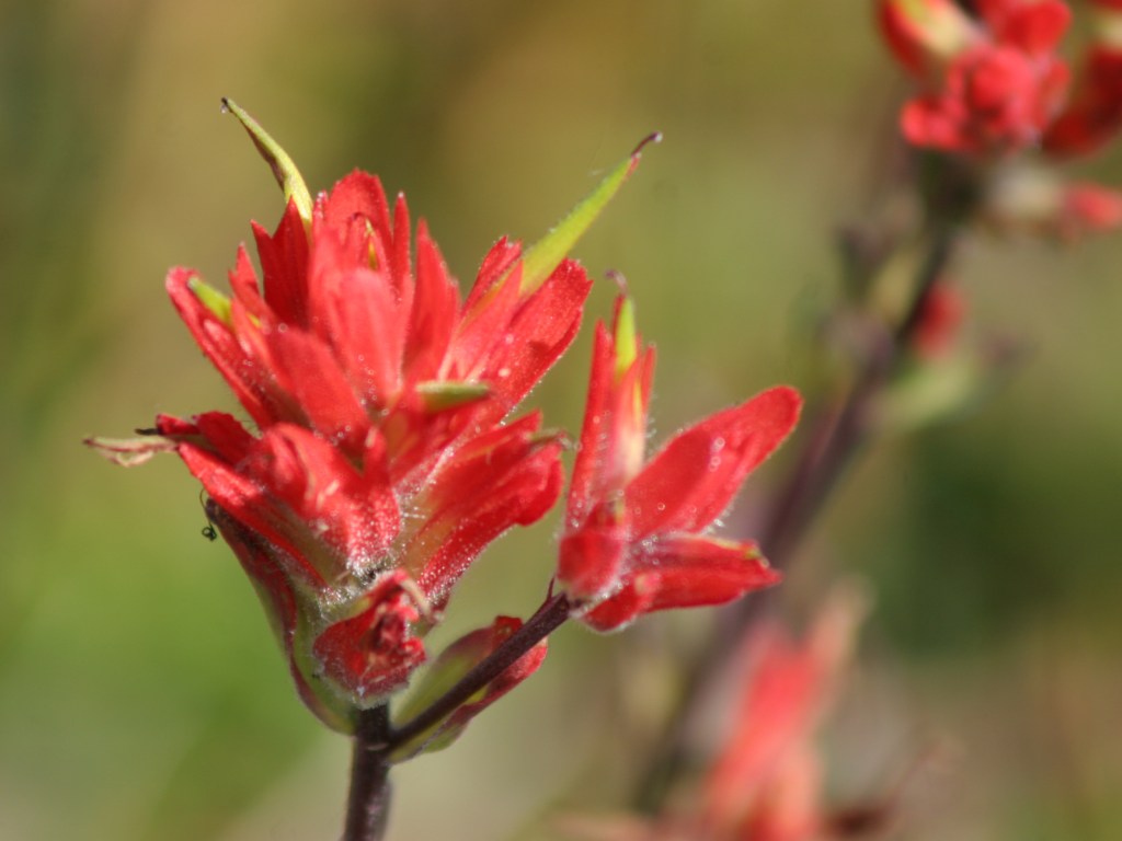
Best time of year: Spring for mild temperatures and flowering dogwood blooms

We recently published our guidebook 50 States of Great: Road Trip Guide to America, so we decided to start a new type of blog post where we create a travel itinerary for all 50 states, in addition to our usual National Forest and National Park entries.  After starting with Kansas, we decided to do an east coast state.  We made an ambitious seven-day plan starting in the northwest corner of Georgia, with many options to extend the trip.

Day 1

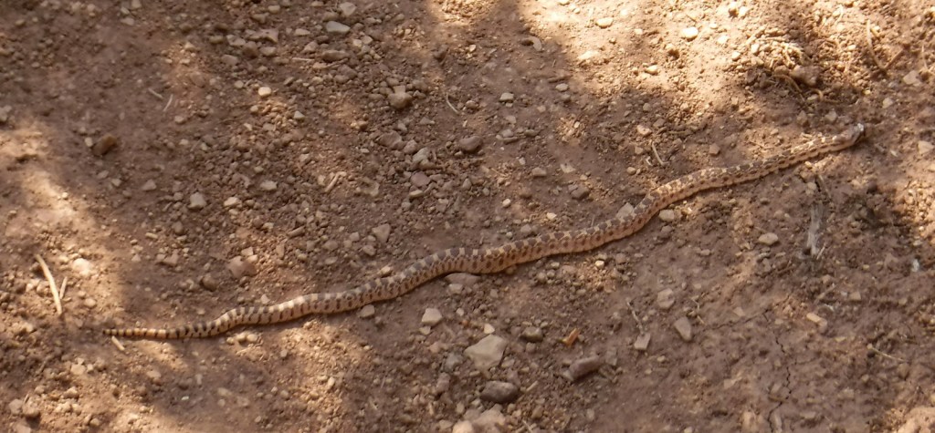
Ed Jenkins National Recreation Area (click here for our blog post)

Formerly named after Springer Mountain, the southern terminus of the Appalachian National Scenic Trail (click here for our blog post) is marked with a bronze plaque and trail register.  Most backpackers start from potholed Forest Service Road 42 and ascend 0.9 miles south to the summit then spend the night in the open-front trail shelter or turn around to head back north.  For day hikers, a nice option is to add the eastern part of the Benton MacKaye Trail to make a 4.7-mile loop that passes Owen Vista.

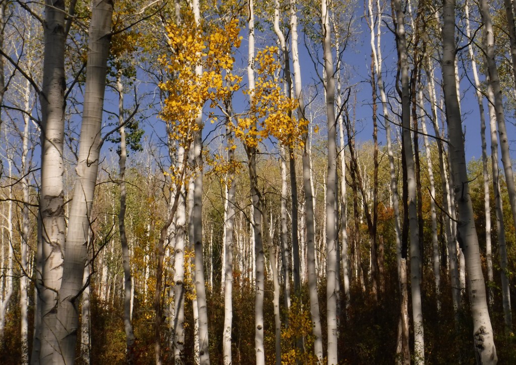
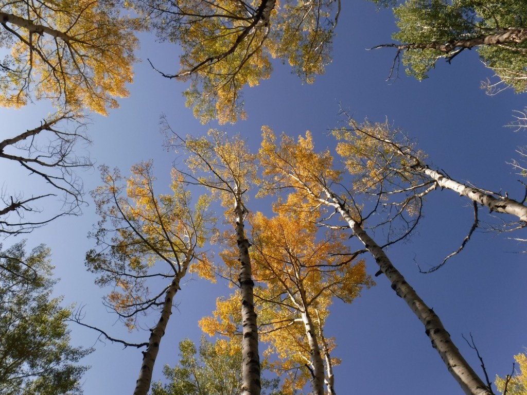
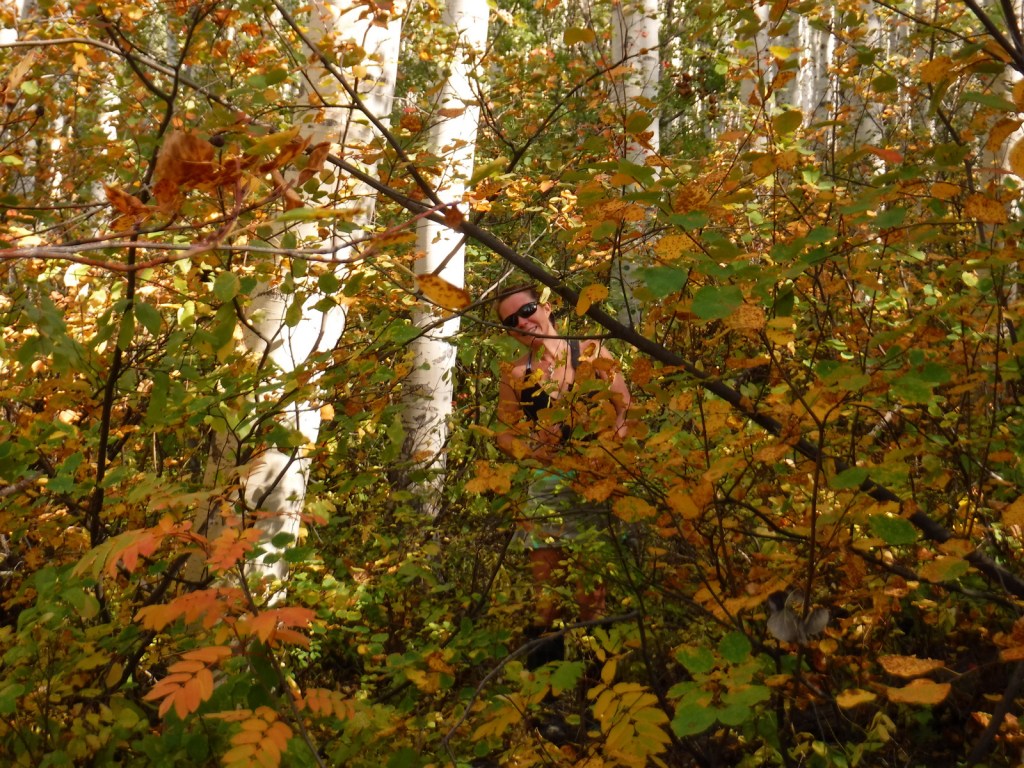
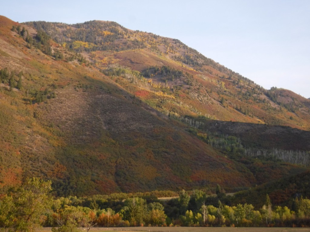
Chattahoochee National Forest (click here for our blog post)

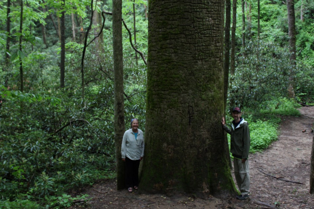
The Gennett Poplar (a tulip-poplar tree more than five feet in diameter) is accessed by hiking 1.8 miles out-and-back with two stream crossings on the Bear Creek Tail.  Other large tulip-poplars and yellow buckeyes are found in 175-acre Sosebee Cove Scenic Area.  You can spend the night riverside at the free Hickey Gap Campground, one of our Top 10 National Forest Campgrounds. 

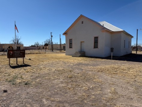
Optional stop at Chickamauga and Chattanooga National Military Park (click here for our blog post)

Half of this park is situated in Tennessee around Lookout Mountain, but at Georgia’s Chickamauga battlefield a seven-mile long driving tour explains what happened there on September 20, 1863.

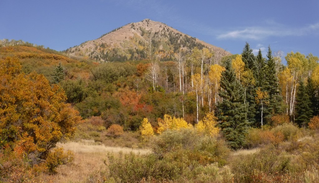
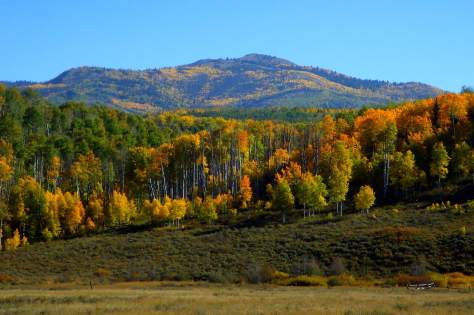
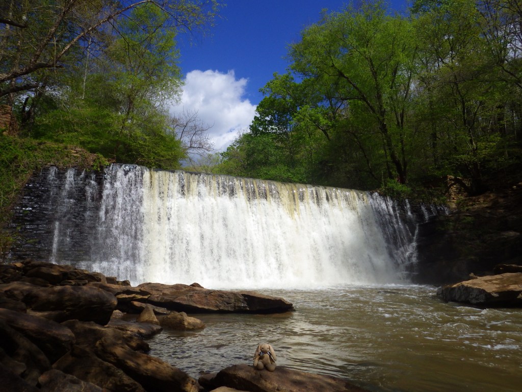
Optional stops at Brasstown Bald, Tallulah Gorge State Park, Amicolola Falls State Park, and Cloudland Canyon State Park

Start your itinerary a day early in Georgia’s northeast corner by enjoying some State Parks and the state’s high point Brasstown Bald, managed by Chattahoochee National Forest.

Day 2

Kennesaw Mountain National Battlefield Park (click here for our blog post)

Wait out the morning traffic into Atlanta by driving or hiking to the top of this steep hill in the city’s suburbs.

Georgia Aquarium

Holding more than 10-million gallons of water in its numerous tanks, Georgia Aquarium is the best in the nation (even better than California’s Monterey Bay Aquarium).  It contains more than 500 aquatic species, but the most impressive are the 30-foot-long whale sharks that reside in the 6.3-million-gallon Ocean Voyager Gallery, the world’s largest indoor marine exhibit. 

Optional stop at Martin Luther King, Jr. National Historical Park (click here for our blog post)

A short walk from the visitor center is required to enter King’s boyhood home (which is wheelchair accessible).  Silence is mandatory while inside.  Outside the neighboring King Center, the Reflection Pool contains the tombs of Martin Luther King, Jr. and his wife Coretta Scott King, as well as an eternal flame.

Optional stop at Chattahoochee River National Recreation Area (click here for our blog post)

Established in 1978, this park is a combination of government jurisdictions and private land that protects 48 miles of the Chattahoochee River downstream from Lake Sidney Lanier northeast of Atlanta.  Due to its lack of large rapids it is popular with canoers.

Day 3

Andersonville National Historic Site (click here for our blog post)

This notorious Civil War prison remains an active military cemetery and is also home to the National Prisoner of War Museum run by the National Park Service.  This may not be the best place to bring children, given that the exhibits in the museum do not pull punches in their depictions of the brutality endured by captured combatants throughout the ages.

Museum of Aviation in Macon

This free Air Force aviation museum has airplanes on display both inside and outside, everything from a P-40 Flying Tiger to an SR-71 Blackbird.

Optional stop at Ocmulgee Mounds National Historical Park (click here for our blog post)

One of the best examples of temple mounds from the Mississippian Culture that began around 1,100 years ago.  Starting from the National Park Service museum (which contains artifacts dating back to 8000 B.C.E.), walk under the railroad tracks, go inside the replica earth lodge, and up the stairs to access the top of the 55-foot-tall Great Temple Mound. 

Day 4

Savannah

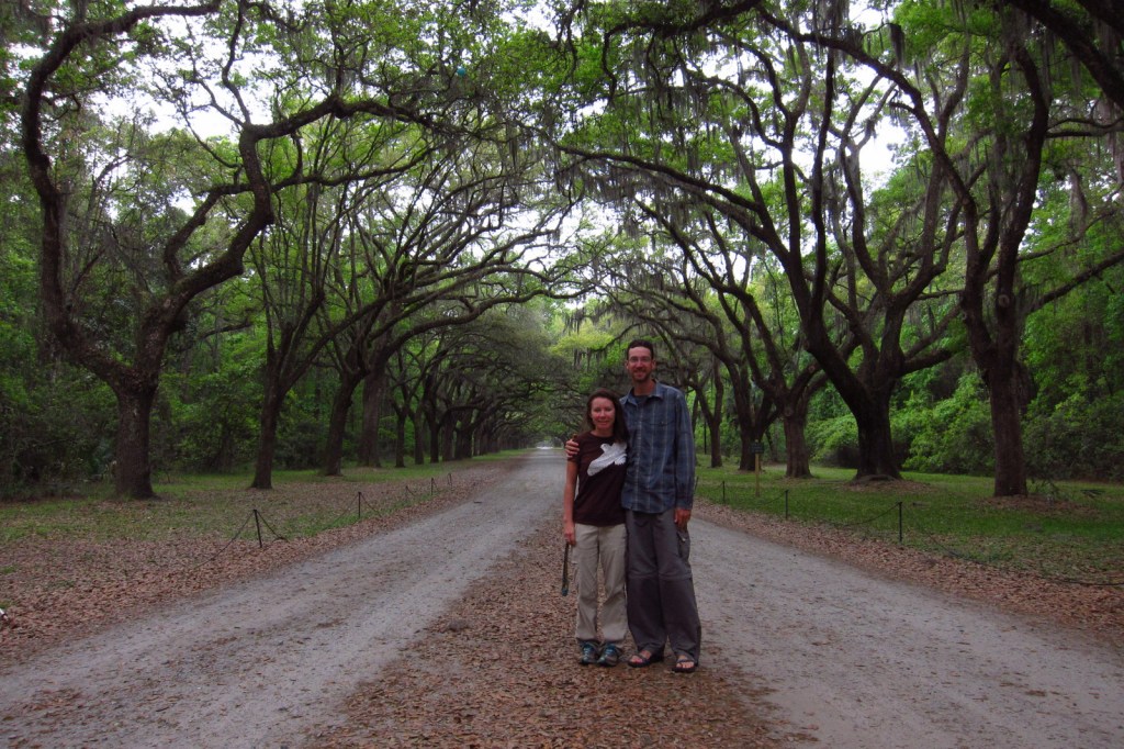
Savannah is a great city for walking that offers countless public squares, beautifully landscaped Forsyth Park with its iconic fountain, spooky Bonaventure Cemetery (see photo), legendary River Street shopping district, and architectural gems like the birthplace of Juliette Gordon Low (who founded the Girl Scouts of America in 1912).  Do not miss a photo at the tree-lined entrance to Wormsloe State Historic Site, a plantation located on the edge of an expansive marsh. 

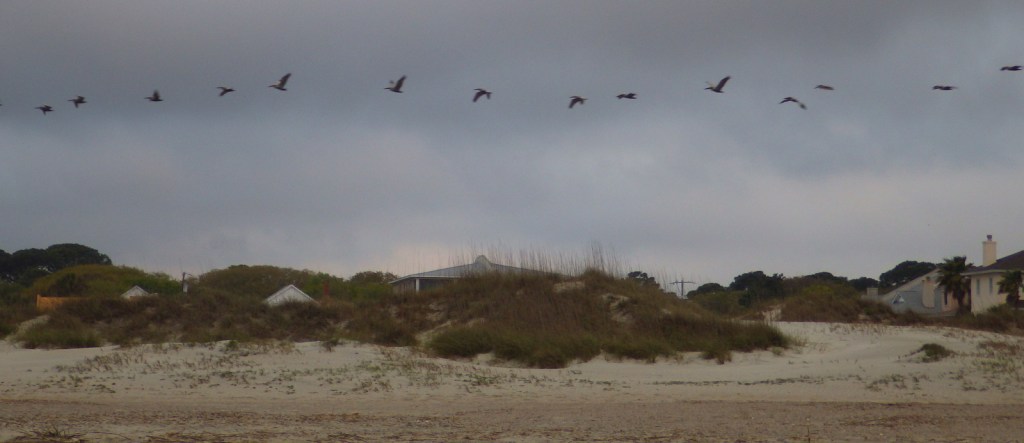
Optional stop at Tybee Island

After touring the city, drive on to the Atlantic Ocean for some beach time.  Once you have soaked up some saltwater, sand, and sun, check out the Tybee Island Light Station and Museum, built at this site in 1773, then reconstructed after the Civil War.  Also, check out the nearby World War II-era Battery Garland in the decommissioned Fort Screven. 

Day 5

Fort Pulaski National Monument (click here for our blog post)

Located 17 miles from Savannah on Cockspur Island, photogenic Fort Pulaski National Monument protects a brick fort named for a Polish Count who was killed in action during the American Revolution.  Claimed by the Confederacy early during the Civil War, it was surrendered to the Union Army in April 1862 after thirty hours of shelling from nearby Tybee Island. 

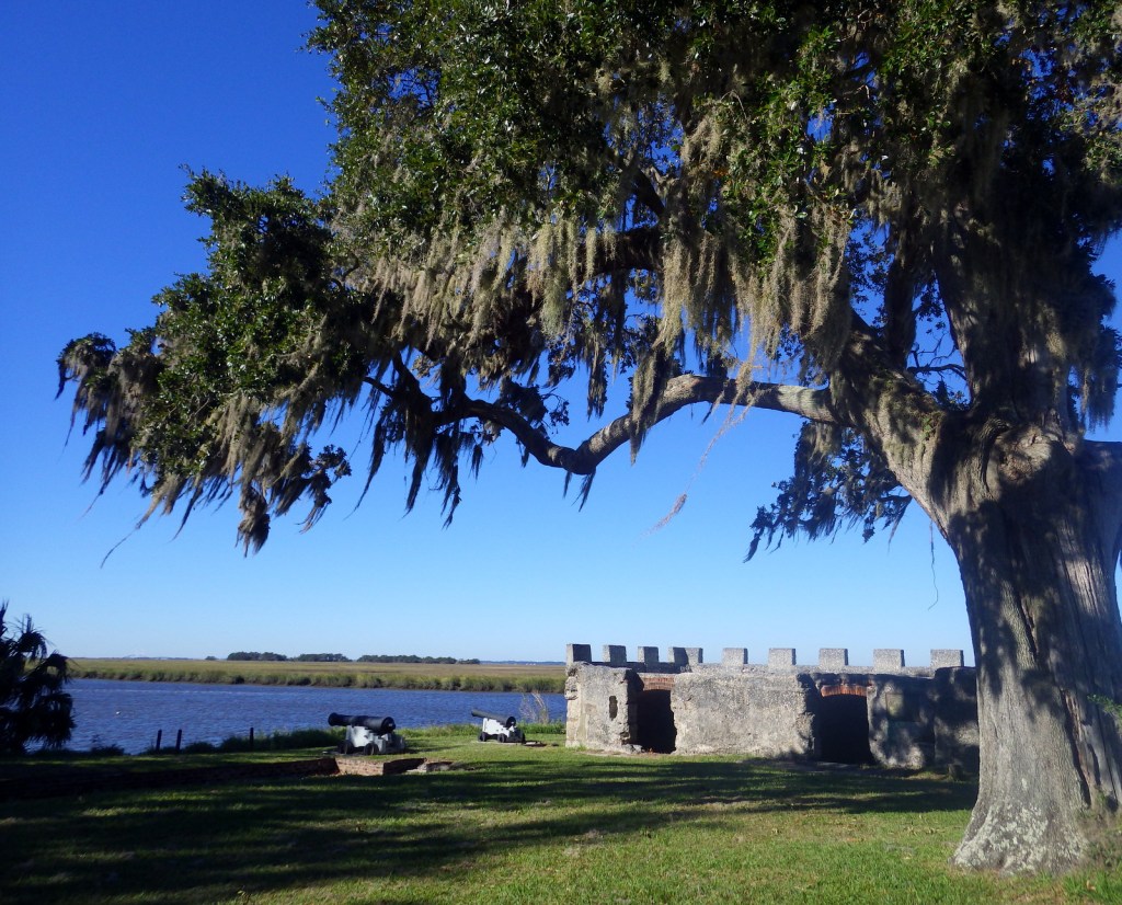
Optional stop at Fort Frederica National Monument (click here for our blog post)

The British established Fort Frederica in the 1730s to stop Spanish encroachment from Florida into their American colonies.  The town that formed around the fort peaked at a population of 1,000.  Today it is a beautiful setting with tabby wall ruins and Spanish moss-draped trees.

Day 6

Cumberland Island National Seashore (click here for our blog post)

Only accessible by boat, most visitors arrive by ferry from St. Marys (reservations recommended) and spend a full day here.  Bicycles can be rented once you arrive on the island (they are not allowed on the ferry) and are permitted on the many miles of roads, but not on the trails or beach.  While it is fun to spend time beachcombing or seeing the ruins of the Dungeness mansion, what really sets Cumberland Island apart are the 50 miles of hiking trails that cut through the maritime forest of twisty live oak trees.  Watch for feral horses, white-tailed deer, armadillos, turkeys, and other birds along the way. 

Day 7

Okefenokee National Wildlife Refuge

The largest freshwater wetlands in the country are home to about 12,000 alligators.  The baldcypress swamp spreads across 448,000 acres around the Suwannee River.  There are no roads across Okefenokee National Wildlife Refuge and it is most easily accessible from the west through Stephen C. Foster State Park, which has a campground and kayak rentals to access camping platforms in the swamp.

Day 8+ optional swing through western Georgia

Providence Canyon State Park

Clearing the forests for farmland in the mid-1800s is what allowed these 16 gullies to erode the soft red-clay hills into the colorful spectacle they are today (with many shades of orange, pink, lavender, and yellow).  The 1,003-acre State Park was established in 1971 to protect the area and it is featured as a U-Haul Super Graphic.  The best views are from the rim walk, but to truly appreciate the depth (up to 150 feet deep) and palette of colors you need to hike down into some of the nine canyons with trails. 

Jimmy Carter National Historical Park (click here for our blog post)

The former Governor, Nobel Peace Prize-winner, and U.S. President Jimmy Carter is the most well-known peanut farmer in Plains, and was a regular at the Plains Peanut Festival held every September.  The National Park Service manages the Jimmy Carter National Historical Park with two visitor centers, one at the former Plains High School and the other at the family’s 360-acre farm. 

Learn more about Georgia’s Most Scenic Drive, Wonderful Waterfall, Top State Park, and other categories in in our new travel guidebook 50 States of Great: Road Trip Guide to America.

Kansas Road Trip Itinerary

Kansas

52,325,581 acres (2.3% of U.S.)

Statehood 1861 (34th of 50)

Capital: Topeka

Population:  2,937,880 (35th of 50)

High Point: Mt. Sunflower (4,041 feet)

Best time of year: Fall for apple picking, football games, OZtoberFest, and fall foliage

We recently published our guidebook 50 States of Great: Road Trip Guide to America, so we decided to start a new type of blog post where we create a travel itinerary for all 50 states, in addition to our usual National Forest and National Park entries.  We are starting with Kansas, an often-overlooked travel destination where we have had a lot of fun on multiple visits dating back to 2007.  We made a seven-day plan starting in the southwest corner of the state, with plenty of options to extend the trip.

Day 1

Cimarron National Grassland (click here for our blog post) / Santa Fe National Historic Trail

The state’s largest parcel of public land at 108,175 acres contains Middle Springs, Cottonwood Picnic Area (with the 10.5-mile Turkey Trail), and Point of Rocks, an important landmark on the Santa Fe Trail and third highest point in Kansas.  In the spring, birdwatchers gather at two viewing blinds to watch the elaborate mating rituals of lesser prairie-chickens, one of the more than 360 bird species identified here. 

Liberal

Dorothy’s House landed here after it was swept up in the tornado to the Land of Oz, located next to the free Seward County Coronado Museum.  While visiting, you can pose with your favorite character from L. Frank Baum’s allegory along a yellow brick walkway. 

Optional stop at Dalton Gang Hideout Museum

Walk the 95-foot-long escape tunnel built by the notorious outlaw family beneath their farmhouse to evade law enforcement. 

Day 2

Big Well Museum in Greensburg

Completed in 1888, it is the world’s largest hand dug well at 109 feet deep (and 32 feet in diameter) to access the massive Ogallala Aquifer.  On May 4, 2007, the town of Greensburg was devastated by a powerful tornado, but the resilient population rebuilt around the historic well. 

Boot Hill Museum in Dodge City

This bloody frontier town earned the moniker “Wickedest Little City in America.”  Even though the buildings on Front Street are mostly reproductions, there remains an authentic Wild West vibe in the air as you walk past artifacts from the 1800s.  If you plan to spend the night after your visit to the Boot Hill Museum, consider paying extra for the brisket dinner and nightly variety show (in the summer) at the Long Branch Saloon. 

Optional stop at Dodge City Zoo

Across the railroad tracks from the Boot Hill Museum, the Dodge City Zoo in Wright Park offers free admission to see a multitude of mammals and birds. 

Day 3

Fort Larned National Historic Site (click here for our blog post)

The fort was only active from 1860 to 1878, but after becoming private property it continued to function as a working ranch which explains why it is in such good shape today.  Costumed re-enactors are really what make this site special, from the blacksmith to the schoolteacher to the commissar to the officers’ wives. 

Quivira National Wildlife Refuge

A 14-mile auto route and hiking trails to observation blinds offer great opportunities to see a variety of birds and mammals in this wetland south of the great bend of the Arkansas River.

Optional stops at Geographic Center, Coronado Heights Park, Big Basin Prairie Preserve, and Mushroom Rock State Park

Roadside attractions in central Kansas include the Geographic Center of the 48 contiguous states and the hilltop tower at Coronado Heights Park near historic Lindsborg.  There is also a small herd of bison in 1,818-acre Big Basin Prairie Preserve.  At Mushroom Rock State Park, interesting sandstone concretions held together by calcium carbonate have withstood the erosion that washed away the surrounding bedrock over time.

Day 4

Strataca in Hutchinson

Strataca takes visitors in an elevator 650 feet down through the Equus Beds Aquifer into an underground salt mine with 67 miles of tunnels.  A tram tour (hardhat provided) is part of the admission price, as is the opportunity to take home a big chunk of salt. 

Cosmosphere in Hutchinson

Cosmosphere International SciEd Center and Space Museum contains the largest collection of space artifacts outside the Smithsonian’s National Air and Space Museum in Washington, D.C.

Wichita

The state’s largest city and “Airplane Capital of the World” has the Great Plains Nature Center, Kansas Aviation Museum, and a fun dinner theater at Mosley Street Melodrama.

Optional stop at Hutchinson Zoo

Another one of the many free zoos located throughout Kansas.

Day 5

Fort Scott National Historic Site (click here for our blog post)

The maple trees were changing colors during our November visit to Fort Scott National Historic Site, their vibrant leaves in sharp contrast to the fort’s white buildings. 

Louisburg Cider Mill

Fall is a great time to visit the cider mill to see the apples being processed and eat some freshly made cider donuts.

Tallgrass Prairie National Preserve (click here for our blog post)

There are many miles of trails that wander through the 10,894-acre preserve that is jointly run by the Nature Conservancy and National Park Service.  A reintroduced bison herd roams these hills, where you can visit the historic Spring Hill Ranch and the one-room Lower Fox Creek School, which was open from 1884 to 1930. 

Brown v. Board of Education National Historic Site (click here for our blog post)

In downtown Topeka, you can tour the former African-American-only Monroe Elementary School, restored to its 1950s appearance with some classrooms turned into exhibits on the civil rights movement worldwide. 

Optional stop at Kansas University in Lawrence

Come for a college football or basketball game and stay to see the original rules for basketball written by Dr. James Naismith, the free Spencer Museum of Art, the historic Natural History Museum, and numerous Jayhawk statues across campus.

Day 6

Kansas City

Not all the best attractions of Kansas City are in Missouri, so explore the beautiful Museum at PrairieFire, try some famous barbecue at Joe’s gas station, and go apple picking in the fall at Cider Hill Family Orchard.

Wamego

Like Liberal on the other side of the state, Wamego also has a Wizard of Oz-themed part of town and holds the annual OZtoberFest in October.

Optional stop at Kansas State University in Manhattan

Sample some Purple Pride and Apple Dapple ice cream at Call Hall Dairy Bar, then visit the free Beach Museum of Art and the American Museum of Baking inside Emerson Library that displays a sample of Egyptian bread dating back 3,800 years (insert fruit cake joke here).  Kansas State University Gardens is a great stop regardless of the season given its fountains and Insect Zoo with a modest $3 entry fee. 

Day 7

Ft. Leavenworth

Check in and get your day pass from the military visitor center before driving onto the army base to visit the Buffalo Soldiers Memorial and Frontier Army Museum at Fort Leavenworth.

Atchison

Amelia Earhart Birthplace Museum and Haunted Tours that include the infamous Sallie House.

Optional stop at Marysville

An Oregon Trail town founded in 1855 that still has its old Pony Express Station located downtown near the beautiful 1891 Marshall County Courthouse.  It is also home to a population of black squirrels that are reportedly escapees from a traveling circus. 

Day 8+ optional swing through northwestern Kansas

Nicodemus National Historic Site (click here for our blog post)

Founded in 1877 by former slaves from Kentucky freed after the Civil War, this historic town is representative of the African-American population boom in Kansas that jumped from only 627 to 43,107 between 1860 and 1880.

Mt. Sunflower

You can drive to the top of Kansas, a small hill near the western border with Colorado.

Buffalo Bill bronze sculpture in Oakley

An impressive 9,000-pound bronze statue stands outside a Cultural Center highlighting Buffalo Bill’s fascinating life.  Also worthwhile is the Fick Fossil and History Museum.

Monument Rocks

A dirt road detour south of Interstate 70 takes travelers to Monument Rocks, the first National Natural Landmark designated by the U.S. Department of the Interior in 1968.  The 70-foot-tall chalk formations are chock full of fossils formed 80-million years ago during the Cretaceous Period.  The white monoliths really light up at sunset and sunrise, but since they are on private property no camping is allowed at the site. 

Learn more about Kansas’ Most Scenic Drive, Wonderful Waterfall, Top State Park, and other categories in in our new travel guidebook 50 States of Great: Road Trip Guide to America.

Gunnison National Forest

Gunnison National Forest

Colorado

Managed by U.S. Forest Service, Rocky Mountain Region

1,766,941 acres (1,671,941 federal/ 95,000 other)

Website: https://www.fs.usda.gov/gmug

Overview

Gunnison National Forest surrounds the town of Crested Butte, a prime destination for mountain bikers and winter sports enthusiasts.  It also shares mountainous borders and four of its eight designated Wilderness areas with neighboring Rio Grande, San Isabel, Uncompahgre, and White River National Forests.  It was originally called the Cochetopa Forest Reserve, created by President Teddy Roosevelt on June 13, 1905.  It is now co-managed with the Grand Mesa and Uncompahgre National Forests.

Highlights

Silver Thread Scenic Byway, Slumgullion Slide, Mt. Emmons Iron Bog, Taylor Park Reservoir, San Luis Peak, Fossil Ridge Recreation Area, Gothic Research Natural Area, Judd Falls, Alpine Tunnel, Mineral Creek Trail

Must-Do Activity

Much of the area was mined in the past, so there are many miles of four-wheel-drive roads to explore over mountain passes like Tomichi, Hancock, Taylor, Tincup, and Pearl Pass.  Near the Victorian-era town of Lake City, the famous Slumgullion Slide crosses Highway 149 where a massive earth flow created Lake San Cristobal about 700 years ago.  Visible from a pullout at Windy Point, a secondary flow of sludgy montmorillonite continues to move trees downslope to this day.

Best Trail

Just past the Bureau of Land Management (BLM) recreation site at Needle Rock, a gravel road enters Gunnison National Forest where two trailheads afford entrance into the West Elk Wilderness.  Throughline Trail heads northeast toward 12,719-foot Mt. Gunnison, but it can be connected with the Lone Pine Trail at the 3.5-mile point to form a loop with Sink Creek Trail (a total of 13 miles roundtrip).  We hiked a portion of Sink Creek Trail in late September when the aspen trees were changing colors and found a nice place for dispersed camping near the South Smith Fork Trailhead (high-clearance vehicle recommended).

Watchable Wildlife

There are presumably elk in the mountainous West Elk Wilderness, as well as mule deer and bighorn sheep (a herd overwinters near the junction of the East and Taylor Rivers).  Mountain lions, black bears, and pine martens also inhabit Gunnison National Forest.  On our hikes we came across a gopher snake and a dam built by a beaver.  Watch the skies for raptors like golden eagles, red-tailed hawks, and peregrine falcons.

Instagram-worthy Photo

A good gravel road east of Crawford leads into Gunnison National Forest past Needle Rock Outstanding Natural Area, run by the Bureau of Land Management (BLM).  The landmark is a 28-million-year-old volcanic plug which can be explored on a steep trail that does not completely circle it because of private land.

Peak Season

Summer and fall

Fees

None

Road Conditions

Several paved highways crisscross the National Forest, including a stretch of the Silver Thread Scenic Byway.  Not every back road requires a high-clearance vehicle, as good graded roads go over Kebler Pass, Ohio Pass, and Cumberland Pass into the town of Pitkin.  Popular four-wheel-drive routes include Pearl Pass Road, Old Monarch Pass Road, and Schofield Pass north into Crystal Canyon. 

Camping

There are many nice campgrounds in Gunnison National Forest, including Slumgullion Campground at 11,200 feet, Lost Lake Campground next to a wildflower meadow, and Dorchester Campground on the road to 11,928-foot Taylor Pass (accessible by four-wheel-drive vehicles).  Dispersed camping is also allowed throughout the National Forest; we found a nice spot near the South Smith Fork Trailhead (high-clearance vehicle recommended).

Wilderness Areas

Collegiate Peaks Wilderness Area (also in San Isabel National Forest)

Fossil Ridge Wilderness

La Garita Wilderness (also in Rio Grande National Forest)

Maroon Bells-Snowmass Wilderness (also in White River and San Isabel National Forests)

Powderhorn Wilderness (also on BLM land)

Raggeds Wilderness (also in White River National Forest)

West Elk Wilderness

Uncompahgre Wilderness (also in Uncompahgre National Forest)

Related Sites

Arapaho National Forest (Colorado)

Colorado National Monument (Colorado)

Grand Mesa National Forest (Colorado)

Nearest National Park

Black Canyon of the Gunnison

Conifer Tree Species

Engelmann spruce, subalpine fir, Douglas-fir, ponderosa pine, lodgepole pine, two-needle pinyon pine, Rocky Mountain juniper

Flowering Tree Species

Gambel oak, quaking aspen, Utah serviceberry, red elderberry, sagebrush

Explore More – Who was John Gunnison, the Gunnison River’s namesake?

Learn more about this and the 154 other National Forests in our new guidebook Out in the Woods

Top 10 Non-Fiction Books about Road Trips

In honor of publishing our newest travel guidebook 50 States of Great: Road Trip Guide to America, we decided to rank our favorite non-fiction books about road trips.  We did not realize how many we had read until we started researching other lists on the subject, so the competition was stiff.  Two classics that did not crack our Top 10 are Zen and the Art of Motorcycle Maintenance by Robert M. Pirsig (1974) and Blue Highways: A Journey into America by William Least Heat Moon (1982).  We would love to hear your favorite road trip book, fiction or non-fiction.  Click here to see all our Top 10 lists, including some road trip books in our Top 10 Non-Fiction Books Set in Multiple National Parks.

10. Rammer Jammer Yellow Hammer: A Journey into the Heart of Fan Mania by Warren St. John (2004)

A lifelong Alabama fan follows his team through an entire football season in the late-1990s and learns about the RV culture of dedicated tailgaters

9. South to America: A Journey Below the Mason-Dixon to Understand the Soul of a Nation by Imani Perry (2022)

Most of the books on this list are light-hearted, but this one takes on racism and other serious subjects

8. A Life on the Road by Charles Kuralt (1990)

Autobiography of a reporter who spent much of his career doing human interest stories across the U.S.

7. Stephen Fry in America: Fifty States and the Man Who Set Out to See Them All by Stephen Fry (2010)

An interesting perspective from a British actor who filmed a documentary series while visiting all 50 states in the 2000s

6. A Walk Across America by Peter Jenkins (1979)

Does it count as a road trip if you walk the road instead of driving it? We think so, and the sequel The Walk West is also good

5. Travels with Charley in Search of America by John Steinbeck (1962)

Perhaps a bit dated now, but this is a cherished travelogue from the national treasure who wrote The Grapes of Wrath (a novel which is sort of a road trip book itself)

4. The Lost Continent: Travels in Small-Town America by Bill Bryson (2001)

A comedic take on American quirks by an ex-pat who lived in Great Britain for years

3. The Electric Kool-Aid Acid Test by Tom Wolfe (1968)

Delve “furthur” into the 1960s drug culture alongside One Flew over the Cuckoo’s Nest author Ken Kesey and his band of Merry Pranksters

2. Assassination Vacation by Sarah Vowell (2005)

A highly-entertaining travelogue of visiting the many places made famous by assassinations throughout American history

…and finally our #1 book about a road trip:

1. On the Road by Jack Kerouac (1957)

This classic does not really have a plot, just a bunch of interesting characters to drive back and forth across 1950s America with (it is often considered fiction, but it is based on real people and events)

.

Honorable Mentions

Rising from the Plains (Annals of the Former World, Book 3 of 4) by John McPhee (1986)

Road cuts along highways are often destinations for geologists, especially in the Rocky Mountains

Northland: A 4,000-Mile Journey Along America’s Forgotten Border by Porter Fox (2018)

The author writes of his experiences traveling by canoe, freighter, car, and foot along the U.S.-Canada border

Fear and Loathing in Las Vegas by Hunter S. Thompson (1971)

This is a fun book that made it on many similar lists, but we are not sure it really qualifies as a road trip or just a “trip”

Roads: Driving America’s Great Highways by Larry McMurtry (2000)

We have not read this book yet, but it is now on our list

.

We are a participant in the Amazon Services LLC Associates Program, an affiliate advertising program designed to provide a means for us to earn fees by linking to Amazon.com and affiliated sites.

Mt. St. Helens National Volcanic Monument

Mt. St. Helens National Volcanic Monument

Washington

Managed by U.S. Forest Service, Pacific Northwest Region

Established 1982

110,000 acres

Website: https://www.fs.usda.gov/visit/destination/mount-st-helens-national-volcanic-monument-0

Overview

Mt. St. Helens erupted Sunday, May 18, 1980 decreasing its elevation by 1,300 feet and depositing all of that material across the landscape as ash and a lahar (volcanic mudslide) claiming 57 human lives.  The site is now protected as Mt. St. Helens National Volcanic Monument and is accessed from the east or west through Gifford Pinchot National Forest.  Mt. St. Helens is geologically young as it began to form only 37,600 years ago.  It is considered the most active volcano in the Cascade Range, with a major eruption in 1480 several times larger than that which occurred 500 years later, as well as written records that noted activity from 1800 to 1857.  Prior to the most recent blast it was distinguished for its perfect cone shape, likened to the renowned outline of Mt. Fuji in Japan. 

Highlights

Johnston Ridge Observatory, films, Forest Learning Center, Windy Ridge, Spirit Lake, Bear Meadows, Winds of Change Trail

Must-Do Activity

Coming from Mount Rainier National Park, we decided to visit the more remote eastern side of the National Monument (see Best Trail) on Spirit Lake Memorial Highway.  From Interstate 5 on the volcano’s west side, Highway 504 leads east past an excellent visitor center (Milepost 5) at Seaquest State Park in Silver Lake (admission charged).  Highway 504 next reaches the free Forest Learning Center managed by the Weyerhaeuser Company, Washington State Department of Transportation, and the Rocky Mountain Elk Foundation.  The road ends at Johnston Ridge Observatory (Milepost 52), which is known for its awesome views of Mt. St. Helens.  We have been told not to miss the introductory films at the museum (admission charged).  [Update: Highway 504 closed due to landslides at Milepost 43 in June 2023 and has not reopened yet.]  Climbers need a permit to ascend Mt. St. Helens, but even from an overlook the scene is enough to fill one with an appreciation for nature’s awesome power. 

Best Trail

After a breathtaking ascent of 361 steps, we reached a breathtaking view atop the aptly named Windy Ridge.  It provided a panorama of the destruction wrought by the volcano, which is still visibly spewing smoke and cinders.  Today the waters of Spirit Lake remain clogged with thousands of weathered snags, floating upon its surface like debarked, sun-bleached ghosts.  Elsewhere the rate of reforestation has been astounding.  Due to natural regeneration and planting efforts within Gifford Pinchot National Forest, millions of Douglas-fir, noble fir, and other trees are rapidly growing in the nitrogen-rich deposits, up to 100 feet deep in some places.

Instagram-worthy Photo

From Windy Ridge, the pale gray summit of the horseshoe-shaped volcano was still streaked in glacial ice on a warm September afternoon, the venting steam clearly visible against the deep blue sky.

Peak Season

Summer

Hours

https://www.parks.wa.gov/245/Mount-St-Helens

Fees

Admission to Johnston Ridge Observatory is $8 per adult or free with an America the Beautiful Pass.  At Seaquest State Park, a $5 per adult admission fee is charged to enter Mt. St. Helens Visitor Center operated by Washington State Parks in Silver Lake.

Road Conditions

The major roads (like Highway 504) are paved to viewpoints in Mt. St. Helens National Volcanic Monument.  [Update: Highway 504 closed due to landslides at Milepost 43 in June 2023 and has not reopened, but Windy Ridge is still accessible.] 

Camping

There is a campground in Seaquest State Park on Silver Lake near Interstate 5, plus dispersed camping is allowed in parts of Gifford Pinchot National Forest.

Related Sites

Mount Rainier National Park (Washington)

Lake Chelan National Recreation Area (Washington)

Oregon Caves National Monument and Preserve (Oregon)

Explore More – Opened in 1997, Johnston Ridge Observatory is named for whom?