Tag Archives: city

Georgia Road Trip Itinerary

Georgia

36,808,634 acres (1.6% of U.S.)

Statehood 1788 (4th of 50)

Capital: Atlanta

Population:  10,711,908 (8th of 50)

High Point: Brasstown Bald (4,784 feet)

Best time of year: Spring for mild temperatures and flowering dogwood blooms

We recently published our guidebook 50 States of Great: Road Trip Guide to America, so we decided to start a new type of blog post where we create a travel itinerary for all 50 states, in addition to our usual National Forest and National Park entries.  After starting with Kansas, we decided to do an east coast state.  We made an ambitious seven-day plan starting in the northwest corner of Georgia, with many options to extend the trip.

Day 1

Ed Jenkins National Recreation Area (click here for our blog post)

Formerly named after Springer Mountain, the southern terminus of the Appalachian National Scenic Trail (click here for our blog post) is marked with a bronze plaque and trail register.  Most backpackers start from potholed Forest Service Road 42 and ascend 0.9 miles south to the summit then spend the night in the open-front trail shelter or turn around to head back north.  For day hikers, a nice option is to add the eastern part of the Benton MacKaye Trail to make a 4.7-mile loop that passes Owen Vista.

Chattahoochee National Forest (click here for our blog post)

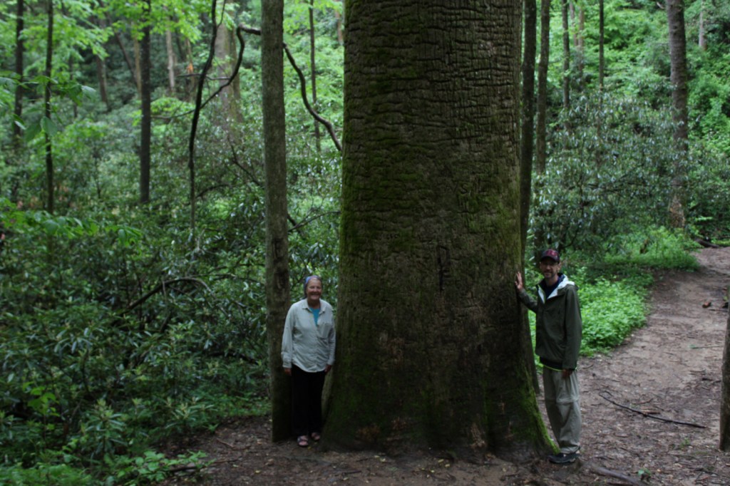
The Gennett Poplar (a tulip-poplar tree more than five feet in diameter) is accessed by hiking 1.8 miles out-and-back with two stream crossings on the Bear Creek Tail.  Other large tulip-poplars and yellow buckeyes are found in 175-acre Sosebee Cove Scenic Area.  You can spend the night riverside at the free Hickey Gap Campground, one of our Top 10 National Forest Campgrounds. 

Optional stop at Chickamauga and Chattanooga National Military Park (click here for our blog post)

Half of this park is situated in Tennessee around Lookout Mountain, but at Georgia’s Chickamauga battlefield a seven-mile long driving tour explains what happened there on September 20, 1863.

Optional stops at Brasstown Bald, Tallulah Gorge State Park, Amicolola Falls State Park, and Cloudland Canyon State Park

Start your itinerary a day early in Georgia’s northeast corner by enjoying some State Parks and the state’s high point Brasstown Bald, managed by Chattahoochee National Forest.

Day 2

Kennesaw Mountain National Battlefield Park (click here for our blog post)

Wait out the morning traffic into Atlanta by driving or hiking to the top of this steep hill in the city’s suburbs.

Georgia Aquarium

Holding more than 10-million gallons of water in its numerous tanks, Georgia Aquarium is the best in the nation (even better than California’s Monterey Bay Aquarium).  It contains more than 500 aquatic species, but the most impressive are the 30-foot-long whale sharks that reside in the 6.3-million-gallon Ocean Voyager Gallery, the world’s largest indoor marine exhibit. 

Optional stop at Martin Luther King, Jr. National Historical Park (click here for our blog post)

A short walk from the visitor center is required to enter King’s boyhood home (which is wheelchair accessible).  Silence is mandatory while inside.  Outside the neighboring King Center, the Reflection Pool contains the tombs of Martin Luther King, Jr. and his wife Coretta Scott King, as well as an eternal flame.

Optional stop at Chattahoochee River National Recreation Area (click here for our blog post)

Established in 1978, this park is a combination of government jurisdictions and private land that protects 48 miles of the Chattahoochee River downstream from Lake Sidney Lanier northeast of Atlanta.  Due to its lack of large rapids it is popular with canoers.

Day 3

Andersonville National Historic Site (click here for our blog post)

This notorious Civil War prison remains an active military cemetery and is also home to the National Prisoner of War Museum run by the National Park Service.  This may not be the best place to bring children, given that the exhibits in the museum do not pull punches in their depictions of the brutality endured by captured combatants throughout the ages.

Museum of Aviation in Macon

This free Air Force aviation museum has airplanes on display both inside and outside, everything from a P-40 Flying Tiger to an SR-71 Blackbird.

Optional stop at Ocmulgee Mounds National Historical Park (click here for our blog post)

One of the best examples of temple mounds from the Mississippian Culture that began around 1,100 years ago.  Starting from the National Park Service museum (which contains artifacts dating back to 8000 B.C.E.), walk under the railroad tracks, go inside the replica earth lodge, and up the stairs to access the top of the 55-foot-tall Great Temple Mound. 
Day 4

Savannah

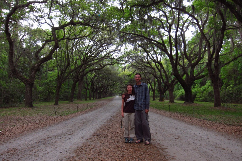
Savannah is a great city for walking that offers countless public squares, beautifully landscaped Forsyth Park with its iconic fountain, spooky Bonaventure Cemetery (see photo), legendary River Street shopping district, and architectural gems like the birthplace of Juliette Gordon Low (who founded the Girl Scouts of America in 1912).  Do not miss a photo at the tree-lined entrance to Wormsloe State Historic Site, a plantation located on the edge of an expansive marsh. 

Optional stop at Tybee Island

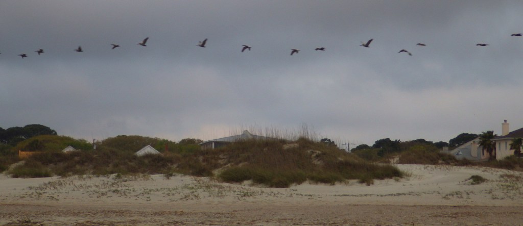
After touring the city, drive on to the Atlantic Ocean for some beach time.  Once you have soaked up some saltwater, sand, and sun, check out the Tybee Island Light Station and Museum, built at this site in 1773, then reconstructed after the Civil War.  Also, check out the nearby World War II-era Battery Garland in the decommissioned Fort Screven. 

Day 5

Fort Pulaski National Monument (click here for our blog post)

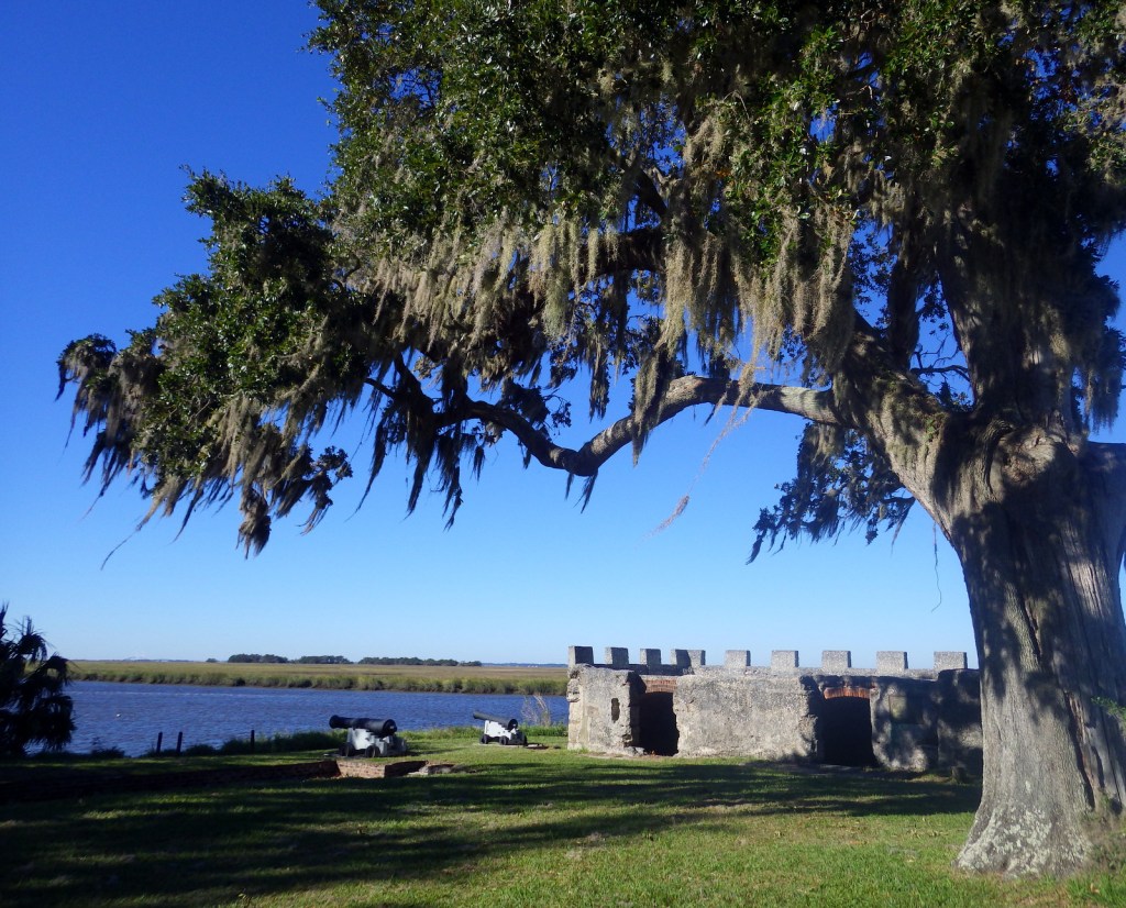
Located 17 miles from Savannah on Cockspur Island, photogenic Fort Pulaski National Monument protects a brick fort named for a Polish Count who was killed in action during the American Revolution.  Claimed by the Confederacy early during the Civil War, it was surrendered to the Union Army in April 1862 after thirty hours of shelling from nearby Tybee Island. 

Optional stop at Fort Frederica National Monument (click here for our blog post)

The British established Fort Frederica in the 1730s to stop Spanish encroachment from Florida into their American colonies.  The town that formed around the fort peaked at a population of 1,000.  Today it is a beautiful setting with tabby wall ruins and Spanish moss-draped trees.

Day 6

Cumberland Island National Seashore (click here for our blog post)

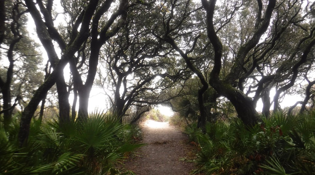
Only accessible by boat, most visitors arrive by ferry from St. Marys (reservations recommended) and spend a full day here.  Bicycles can be rented once you arrive on the island (they are not allowed on the ferry) and are permitted on the many miles of roads, but not on the trails or beach.  While it is fun to spend time beachcombing or seeing the ruins of the Dungeness mansion, what really sets Cumberland Island apart are the 50 miles of hiking trails that cut through the maritime forest of twisty live oak trees.  Watch for feral horses, white-tailed deer, armadillos, turkeys, and other birds along the way. 

Day 7

Okefenokee National Wildlife Refuge

The largest freshwater wetlands in the country are home to about 12,000 alligators.  The baldcypress swamp spreads across 448,000 acres around the Suwannee River.  There are no roads across Okefenokee National Wildlife Refuge and it is most easily accessible from the west through Stephen C. Foster State Park, which has a campground and kayak rentals to access camping platforms in the swamp.

Day 8+ optional swing through western Georgia

Providence Canyon State Park

Clearing the forests for farmland in the mid-1800s is what allowed these 16 gullies to erode the soft red-clay hills into the colorful spectacle they are today (with many shades of orange, pink, lavender, and yellow).  The 1,003-acre State Park was established in 1971 to protect the area and it is featured as a U-Haul Super Graphic.  The best views are from the rim walk, but to truly appreciate the depth (up to 150 feet deep) and palette of colors you need to hike down into some of the nine canyons with trails. 

Jimmy Carter National Historical Park (click here for our blog post)

The former Governor, Nobel Peace Prize-winner, and U.S. President Jimmy Carter is the most well-known peanut farmer in Plains, and was a regular at the Plains Peanut Festival held every September.  The National Park Service manages the Jimmy Carter National Historical Park with two visitor centers, one at the former Plains High School and the other at the family’s 360-acre farm. 

Learn more about Georgia’s Most Scenic Drive, Wonderful Waterfall, Top State Park, and other categories in in our new travel guidebook 50 States of Great: Road Trip Guide to America.

Theodore Roosevelt Inaugural National Historic Site

Theodore Roosevelt Inaugural National Historic Site

New York

Managed by National Park Service

Established 1966

1 acre

Website: nps.gov/thri

Overview

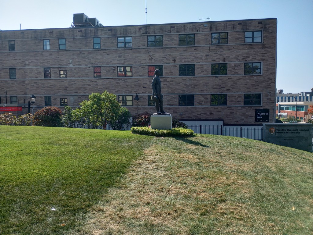
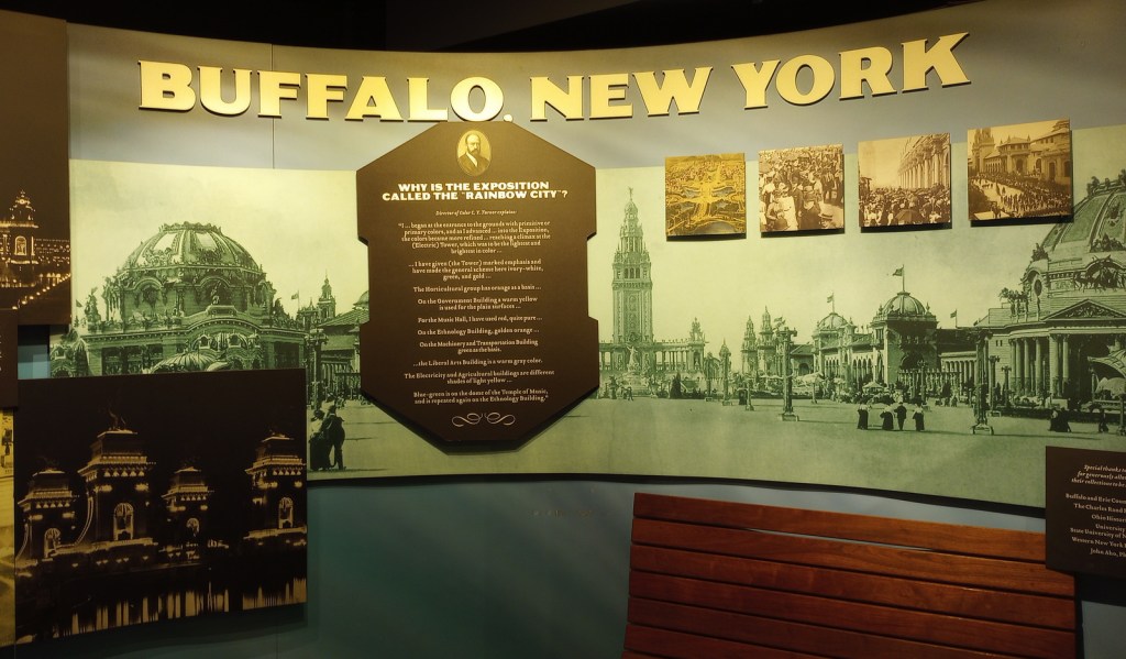
On September 6, 1901, while attending the Pan-American Exposition in Buffalo, New York, President William McKinley was shot by anarchist Leon Czolgosz.  Vice President Theodore Roosevelt came by the house (now demolished) where McKinley was recovering and left after being assured he would survive.  Roosevelt was hiking the highest peak in the Adirondacks when he was informed that he needed to rush back to Buffalo because the President was dying.  Rather than take the oath of office in the house where McKinley died 11 hours before Roosevelt’s arrival, he chose the residence of his friend Ansley Wilcox, which has been preserved as a National Historic Site.  Oddly, no photographs were taken at the historic event.

Highlights

Wilcox house, museum, films

Must-Do Activity

The Wilcox house dates back to 1837, when it was built as an officers’ quarters at the U.S. Army’s Poinsett Barracks.  The only way inside is on a ranger-guided tour, which you can reserve online in advance (see Fees below).  The downstairs has a small, nice museum featuring interactive exhibits, where you will watch the second of three video presentations during your 45-minute tour.  It was good enough that we added it to our Top 10 Museums Run by the National Park Service. There is an annual reenactment of the 1901 Inauguration held every September 14.

Best Trail

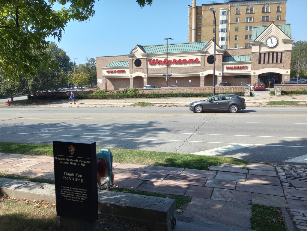
No trails, but you can walk the sidewalks of Delaware Avenue in downtown Buffalo and stop by the Bank of America ATM conveniently located next door. Maybe you will find a four-leaf clover like Tiff did (see photo below).

Instagram-worthy Photo

The third video is presented in a small theater upstairs about halfway through the tour and features dramatic lighting and videos highlighting the challenges facing the U.S. in the early 1900s.

Peak Season

Fall

Hours

https://www.nps.gov/thri/planyourvisit/hours.htm

Fees

$12 per adult for tour (or America the Beautiful pass and $1 online registration fee for up to 4 adults)

Road Conditions

All roads are paved and a free parking lot is located behind the house on one-way Franklin Street.

Camping

Outside Buffalo, camping is available at Darien Lake, Four Mile Creek, Joseph Davis, and Letchworth State Parks.

Related Sites

Theodore Roosevelt Birthplace National Historic Site (New York)

Home of Franklin D. Roosevelt National Historic Site (New York)

Sagamore Hill National Historic Site (New York)

Check out our Top 10 Roosevelt Family NPS Sites

Explore More – When was the Wilcox house turned into a restaurant?

San Juan National Historic Site

San Juan National Historic Site

Puerto Rico

Managed by National Park Service

Established 1949

75 acres

Website: nps.gov/saju

Overview

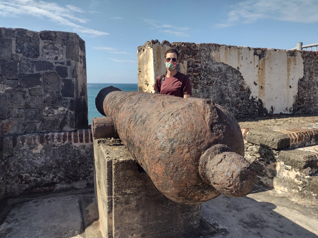
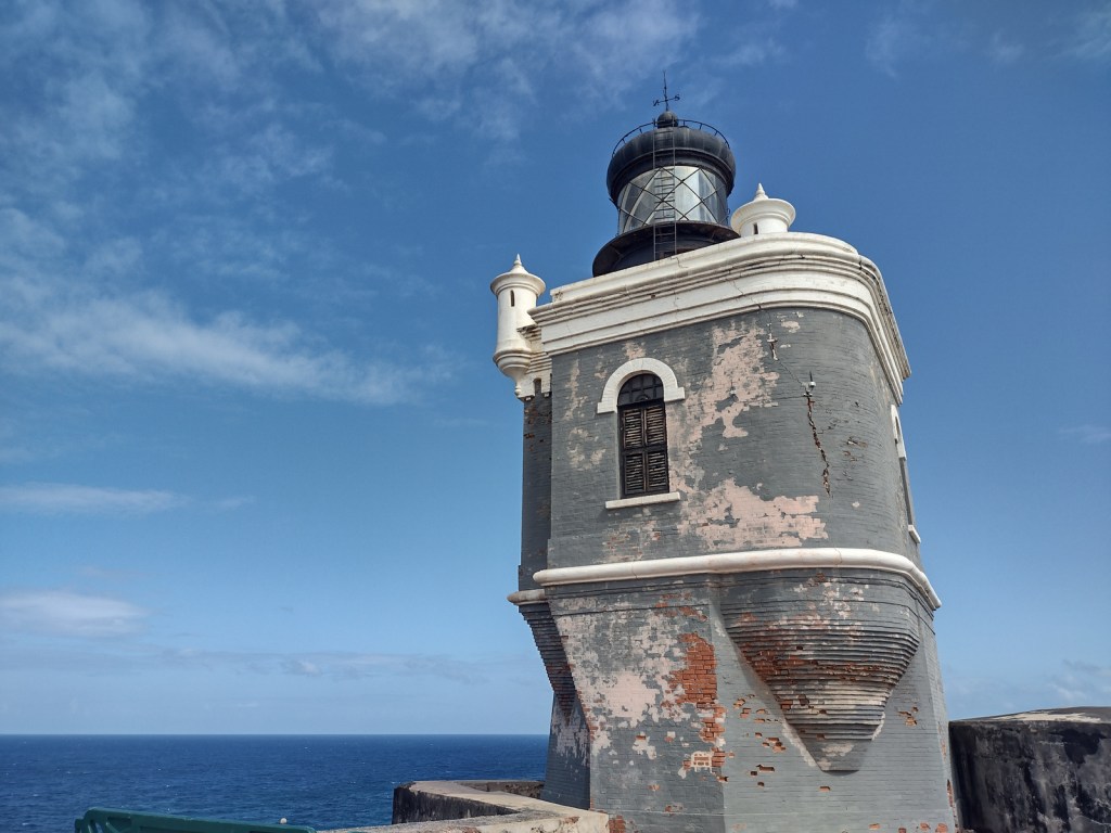
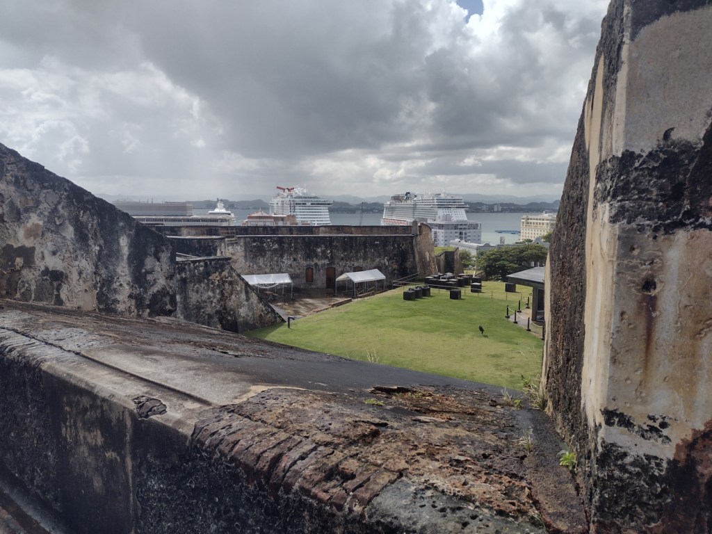
San Juan, Puerto Rico was established in 1509 as a military outpost by Spanish conquistador Juan Ponce de León and 30 years later construction began on the Castillo San Felipe del Morro to guard San Juan Bay.  Starting in 1634, Castillo San Cristóbal was added to the east, eventually becoming the largest fortification built by Europeans in the Americas (covering 27 acres).  The city was captured by the English in 1598, but quickly abandoned due to disease and lack of provisions.  U.S. warships destroyed the fort’s lighthouse during the 1898 Spanish-American War, after which the U.S. seized Puerto Rico and Guam, gained protection over Cuba, and bought the Philippines.  The U.S. military turned over the San Juan forts to the National Park Service in 1961, and 22 years later they were declared a UNESCO World Heritage Site.

Highlights

Castillo San Felipe del Morro (El Morro), Castillo San Cristóbal, Paseo del Morro

Must-Do Activity

It does not matter which fort you start with, but both are unique and worth exploring with plenty of interpretive signs found throughout.  It is about a one-mile walk between the two forts on a sidewalk that follows the wall and bastions protecting the north side of Old San Juan (and providing a great overlook of the Cementerio Maria Magdalena de Pazzis).  Most visitors arrive by cruise ship, so drivers are very aware of pedestrians, and the whole area has sidewalks and crosswalks.

Best Trail

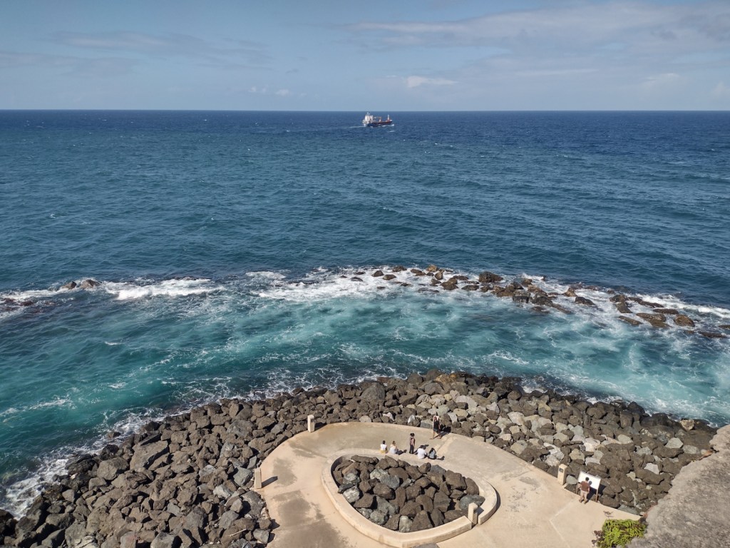
The Paseo del Morro follows the shoreline outside the walls surrounding the western edge of Old San Juan, only accessible from Castillo San Felipe del Morro or further south through the San Juan Gate.  Watch for friendly feral cats, huge orb-weaver spiders, and anole lizards along the paved route.

Instagram-worthy Photo

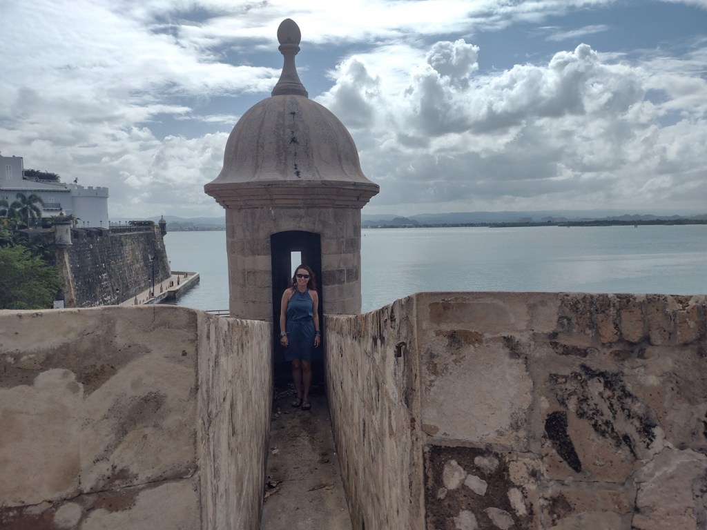
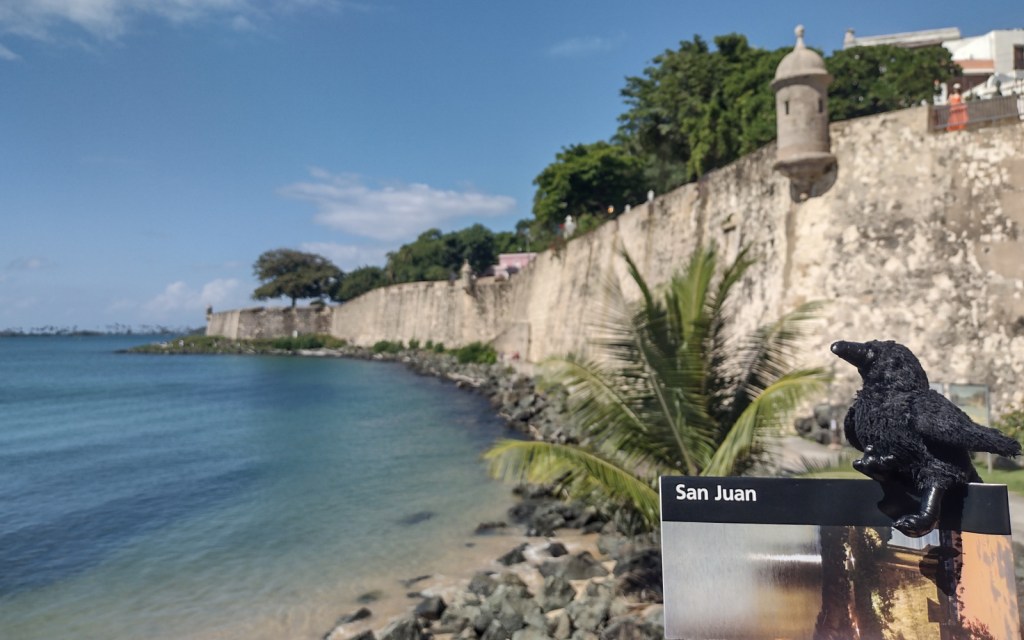
The forts’ sentry boxes (garitas) are the symbol of Old San Juan and all of Puerto Rico, which is why they were featured on the U.S. quarter-dollar coin chosen for the territory in 2009.  It is also the reason we added this park to the list of Top 10 National Park Service License Plates.

Peak Season

Year round

Hours

https://www.nps.gov/saju/planyourvisit/hours.htm

Fees

$10 per person or America the Beautiful pass

Road Conditions

Street parking is always full around the forts, but there is a parking deck with reasonable hourly rates.  The free White Trolley runs between the two forts and the cruise ship piers.

Camping

There are no campgrounds in San Juan, but plenty of other accommodations.  Camping on the island of Puerto Rico is permitted at Bosque Estatal de Cambalache, Bosque Estatal de Río Abajo, and Reserva Forestal de Carite.

Related Sites

Castillo de San Marcos National Monument (Florida)

Christiansted National Historic Site (U.S. Virgin Islands)

El Yunque National Forest (Puerto Rico)

Explore More – Who was the Irish-born engineer who designed Castillo San Cristóbal, because Spain and Ireland were both enemies of England?

San Gabriel Mountains National Monument

San Gabriel Mountains National Monument

California

Managed by U.S. Forest Service, Angeles National Forest

452,096 acres

Website: https://www.fs.usda.gov/r05/angeles/recreation/san-gabriel-mountains-national-monument

Overview

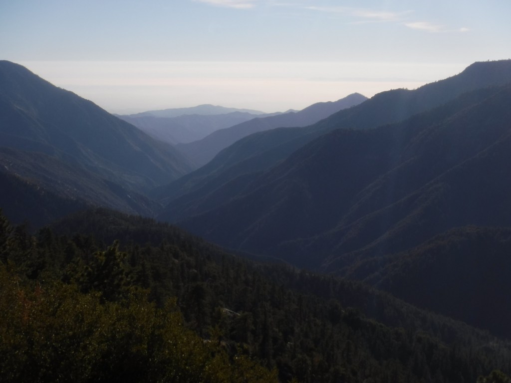
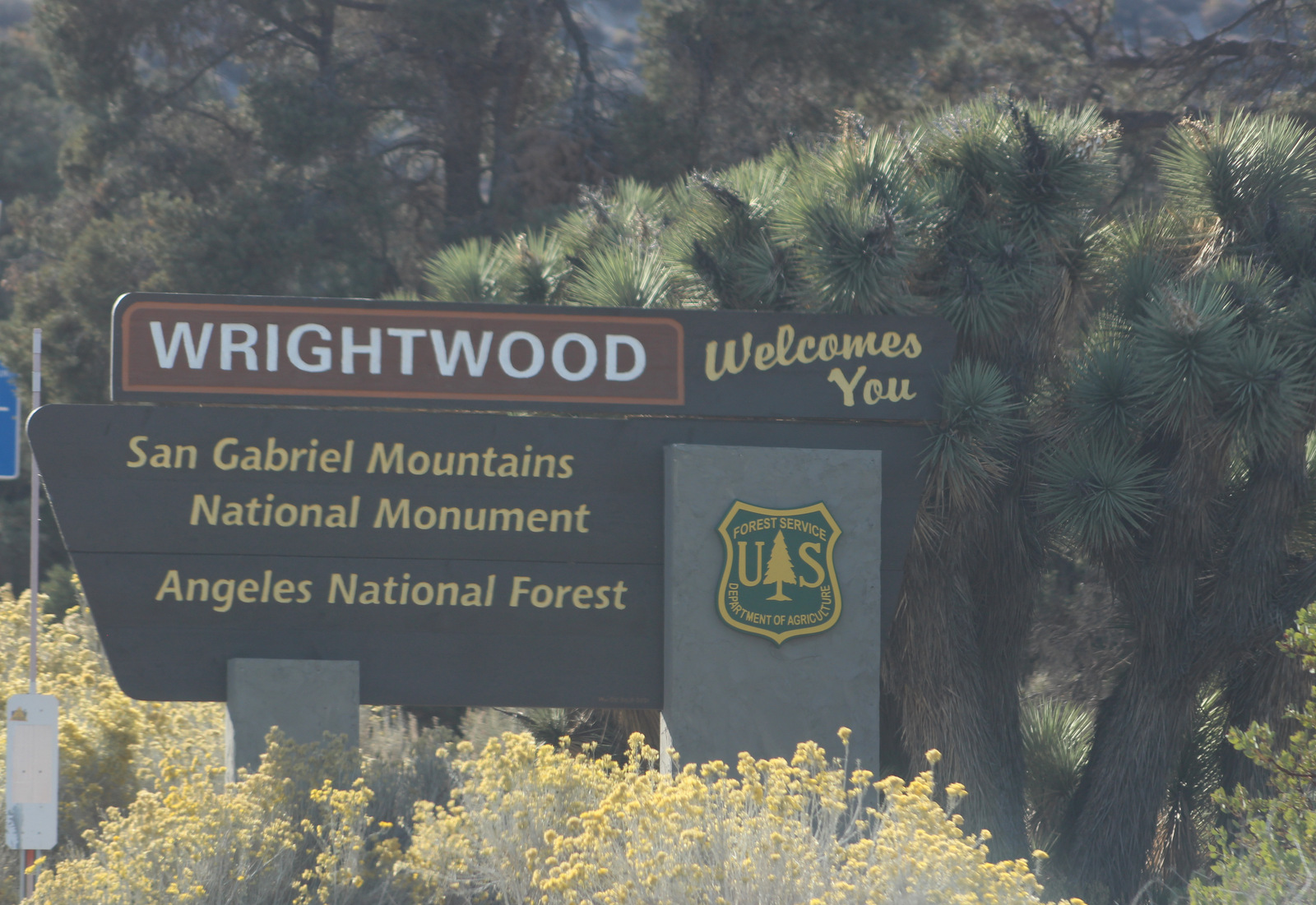
San Gabriel Mountains National Monument was proclaimed on October 10, 2014, by President Barack Obama under the power of the 1906 Antiquities Act and expanded by 105,919 acres ten years later.  Located just north of the Los Angeles metropolitan area, about 15-million people live within 90 minutes of this mountain range, which provides 30% of their drinking water.  Despite this region’s reputation for sun and surf, the high elevations (topping out at 10,064 feet on Mt. San Antonio) regularly get snow in the winter.  The vegetation ranges from chaparral to oak and mixed evergreen forest and is prone to wildfire (see our post on Angeles National Forest for information on recent fires).

Highlights

Angeles Crest Highway, Inspiration Point, Lightning Ridge Nature Trail, Mt. San Antonio, Mt. Baden-Powell, Throop Peak, Silver Moccasin Trail, Gabrielmo National Recreation Trail, High Desert National Recreation Trail, Pacific Crest National Scenic Trail

Must-Do Activity

It was a sunny November afternoon at 7,000 feet in elevation on the Angeles Crest Highway (Highway 2), which traverses the steep-sided San Gabriel Mountains that rise above southern California’s infamous smog.  The rich odor of incense-cedar trees filled the warm air as we ascended the rocky trail from the historic Big Pines Visitor Center. This soulful smell may be more familiar to you than you think since its wood is commonly used to make pencils. The partially shaded path was lined with interpretive signs that introduced the trees and shrubs growing on this dry, south-facing hillside. Across the narrow valley, a ski resort was cut into the dense stands of conifers on the shady north slope.

Best Trail

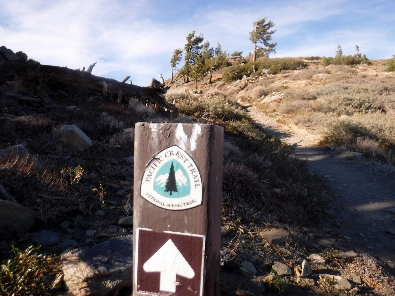
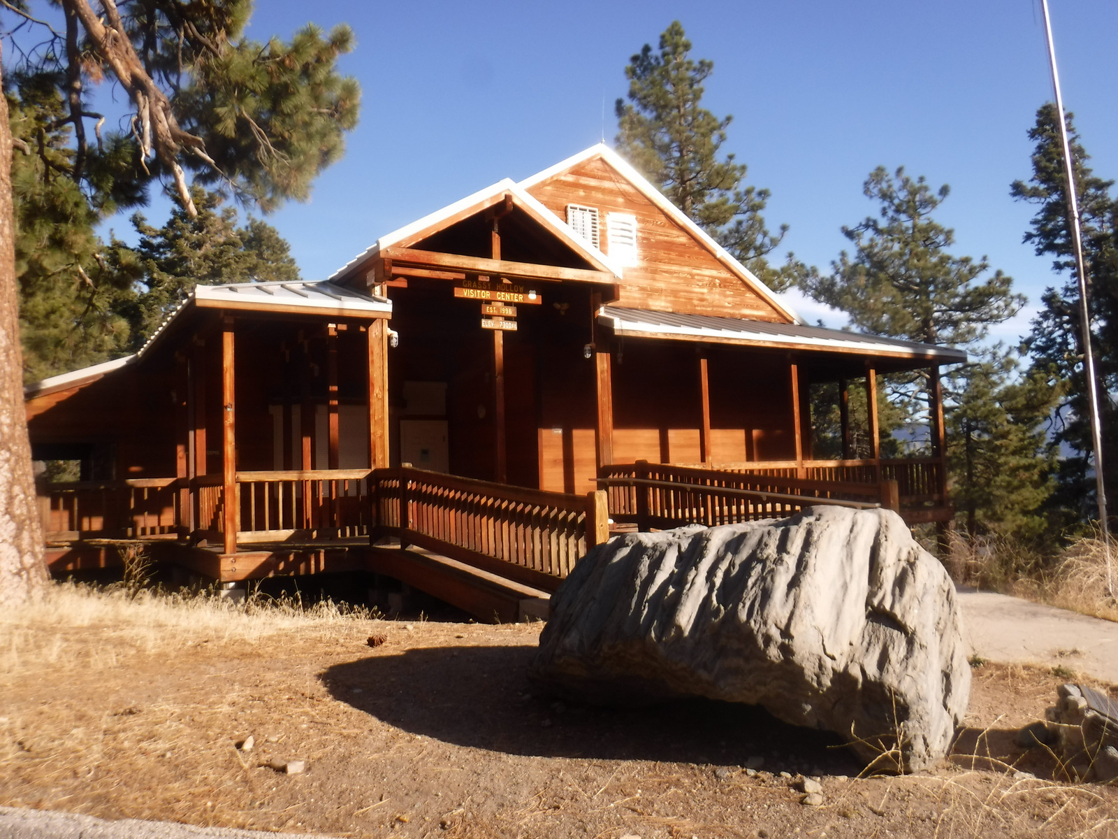
The 2,600-mile Pacific Crest National Scenic Trail cuts across much of the National Monument with easy access from Highway 2 at the Lightning Ridge Nature Trail and Grassy Hollow Visitor Center.  Other long trails include the Gabrielmo National Recreation Trail and High Desert National Recreation Trail.

Instagram-worthy Photo

Just west on Highway 2 from the Big Pines Visitor Center is Inspiration Point, which looks south at the often smoggy Los Angeles metropolitan area.

Peak Season

Spring and fall

Fees

An Adventure Pass is required to park at many trailheads.  The Forest Service also accepts all America the Beautiful Passes, which can be also used at National Park Service sites.

Road Conditions

The paved Angeles Crest Highway cuts through the National Monument and it used to go through to Glendale, but closed due to damage from the 2020 Bobcat Fire.

Camping

There are many campgrounds in Angeles National Forest, but we did not see any great places to do dispersed car camping when we drove through different portions of it (although we did not drive any dirt roads which is where they typically are found).

Wilderness Areas

Pleasant View Ridge Wilderness

San Gabriel Wilderness

Sheep Mountain Wilderness (also in San Bernardino National Forest)

Related Sites

Saint Francis Dam Disaster National Memorial and Monument (California)

Santa Monica Mountains National Recreation Area (California)

Santa Rosa and San Jacinto Mountains National Monument (California)

Nearest National Park

Channel Islands (California)

Explore More – The movement to preserve the San Gabriel Mountains began in 2003 with what Congresswoman initiating an environmental feasibility report?

Angeles National Forest

Angeles National Forest

California

Managed by U.S. Forest Service, Pacific Southwest Region

694,175 acres (668,887 federal/ 25,288 other)

Website: https://www.fs.usda.gov/angeles

Overview

Angeles National Forest is registered as a California Historical Landmark since it became the first protected woodland in the state as the San Gabriel Timberland Reserve in 1891.  It serves as a major recreation destination north of the Los Angeles metropolitan area with 697 miles of hiking trails, several lakes, and two alpine ski areas.  Most of the shrub and tree species are adapted to periodic fire and about one-quarter of the National Forest burned in the 2009 Station Fire and an additional 115,796 acres in the 2020 Bobcat Fire.

Highlights

San Gabriel Mountains National Monument, Saint Francis Dam Disaster National Memorial and Monument, Angeles Crest Highway, Crystal Lake Recreation Area, Mt. Wilson Observatory, Bouquet Reservoir, Mt. Baldy, San Antonio Falls, Gabrielino National Recreation Trail, High Desert National Recreation Trail, Pacific Crest National Scenic Trail

Must-Do Activity

Angeles Crest Highway (Highway 2) cuts through the San Gabriel Mountains National Monument, established in 2014.  Coming from the east, a good place to start is the Big Pines Visitor Center or the Grassy Hollow Visitor Center, both of which have short interpretive trails with signs identifying local species.  Further west, Saint Francis Dam Disaster National Memorial and Monument (est. 2019) commemorates the tragedy that cost at least 431 people their lives in 1928.  Watch in the coming weeks for blog posts specifically detailing these two National Monuments.

Best Trail

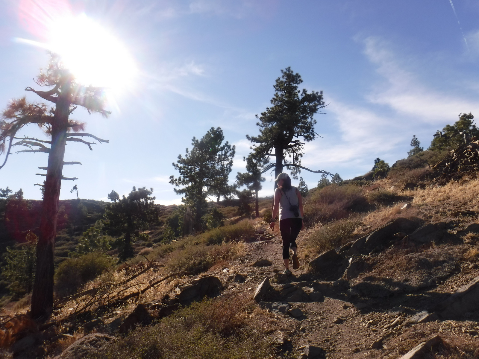
Across from Inspiration Point on Highway 2, there is a parking lot for Lightning Ridge Nature Trail.  The half-mile loop trail offers great panoramas of the surrounding mountains.  It even includes a portion of the 2,600-mile Pacific Crest National Scenic Trail.  Along the trail, my wife and I stopped to sniff the orange, platy bark of a Jeffrey pine for its pleasant vanilla scent, which brought back memories of our time spent living in California. 

Watchable Wildlife

On our November visit, we first saw a western gray squirrel with an incredibly poofy tail atop the Big Pines Visitor Center.  On the Big Pines Interpretive Trail, we spotted dark-eyed juncos and Steller jays flitting about.  Despite its proximity to the city, there are even black bears, mountain lions, and bobcats in this National Forest.  You are more likely to come across coyotes, gray foxes, or mule deer.

Instagram-worthy Photo

Many species commonly found in this National Forest are endemic to this region and grow nowhere else on Earth, including Coulter pine (famous for its massive pinecones that weigh up to 11 pounds).

Peak Season

Spring and fall

Fees

An Adventure Pass is required to park at many trailheads.  The Forest Service also accepts all America the Beautiful Passes, which can be also used at National Park Service sites.

Road Conditions

The paved Angeles Crest Highway cuts through San Gabriel Mountains National Monument and it used to go through to Glendale, but closed due to damage from the 2020 Bobcat Fire.

Camping

There are many campgrounds in the National Forest, but we did not see any great places to do dispersed car camping when we drove through different portions of it (although we did not drive any dirt roads which is where they typically are found).

Wilderness Areas

Cucamonga Wilderness (also in San Bernardino National Forest)

Magic Mountain Wilderness

Pleasant View Ridge Wilderness

San Gabriel Wilderness

Sheep Mountain Wilderness (also in San Bernardino National Forest)

Related Sites

Pinnacles National Park (California)

Santa Monica Mountains National Recreation Area (California)

César E. Chávez National Monument (California)

Nearest National Park

Channel Islands (California)

Conifer Tree Species

incense-cedar, bigcone Douglas-fir, Jeffrey pine, Coulter pine, knobcone pine, gray pine, lodgepole pine

Flowering Tree/Shrub Species

California black oak, canyon live oak, California walnut, serviceberry, western mountain-mahogany, California coffeeberry, cup-leaf ceonothus, flannel bush, Parry’s manzanita

Explore More – How long are the Gabrielino and High Desert National Recreation Trails?