Tag Archives: canyon

Cibola National Forest

Cibola National Forest

New Mexico

Managed by U.S. Forest Service, Southwestern Region

2,103,528 acres (1,633,783 federal/ 469,745 other)

Website: https://www.fs.usda.gov/cibola

Overview

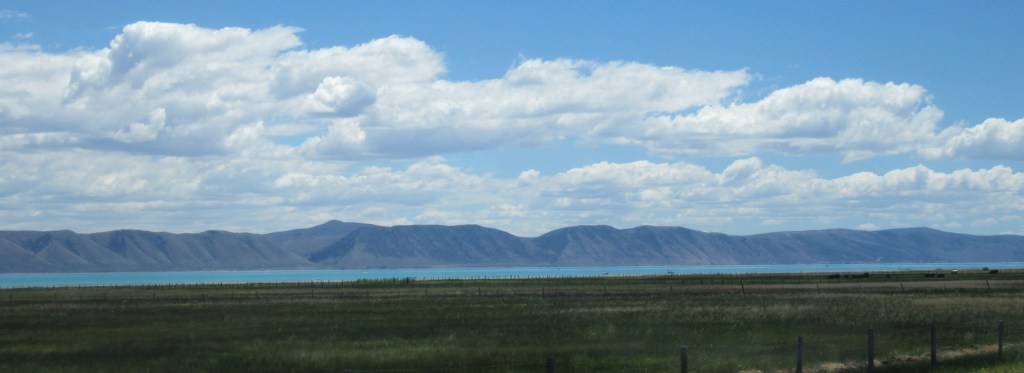
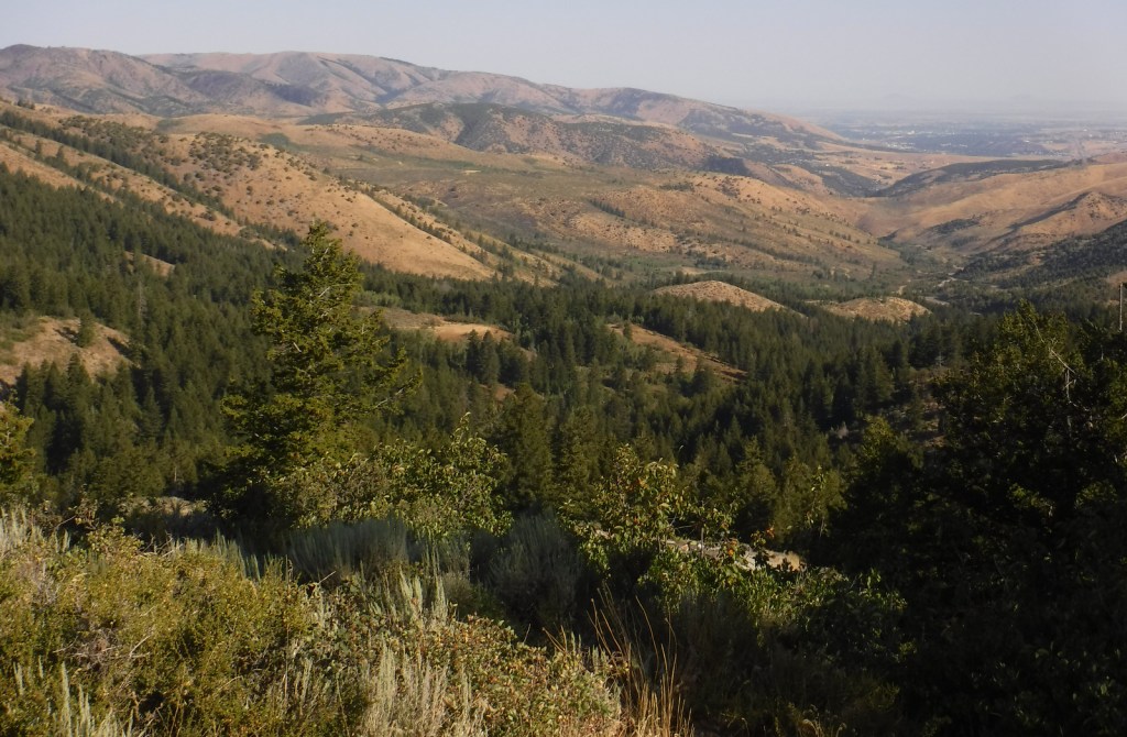
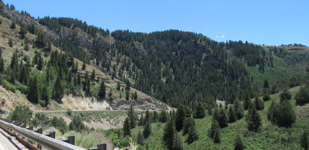
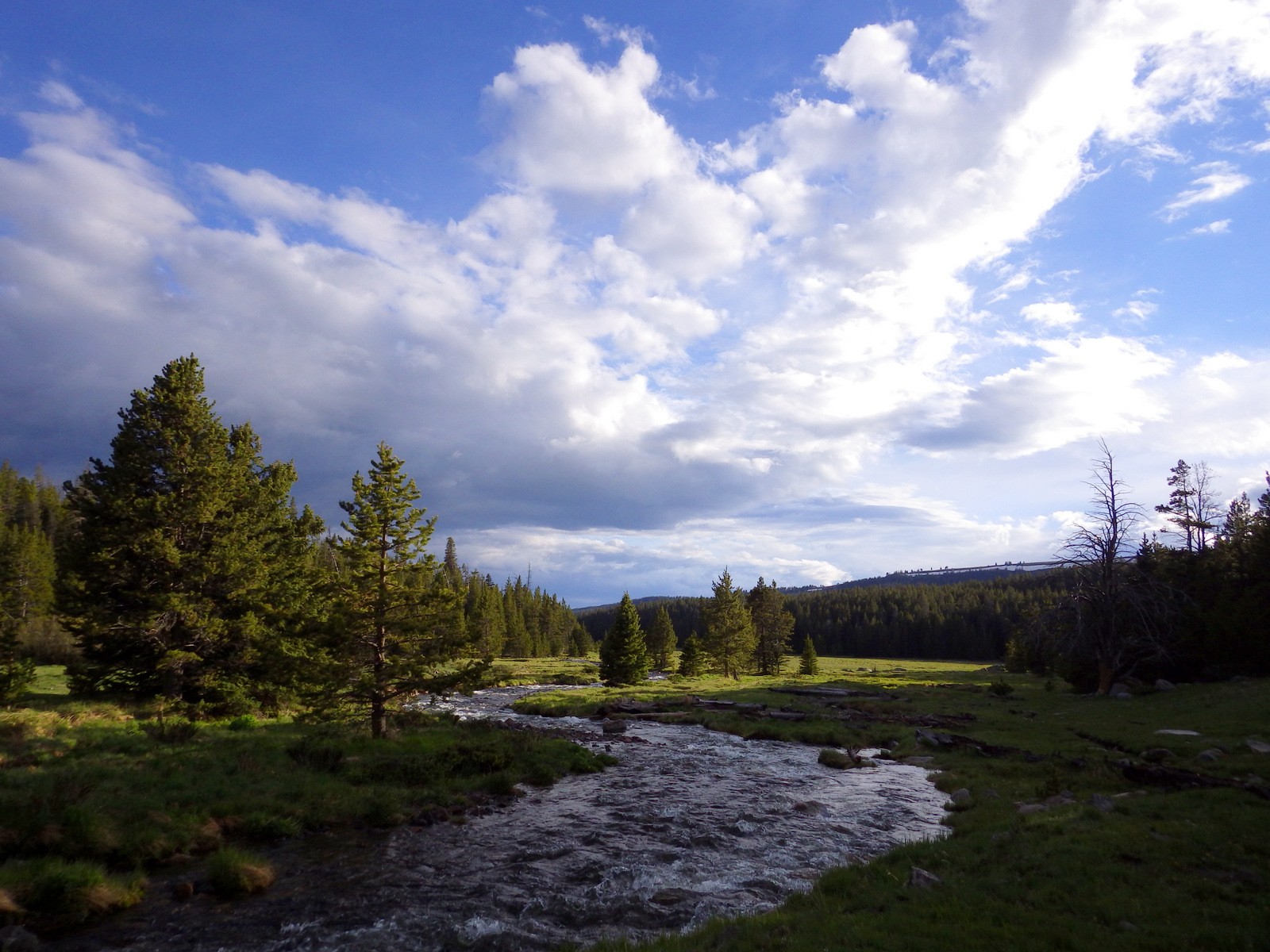
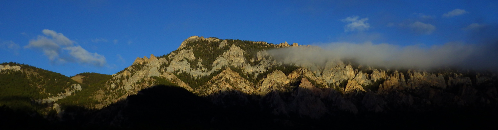
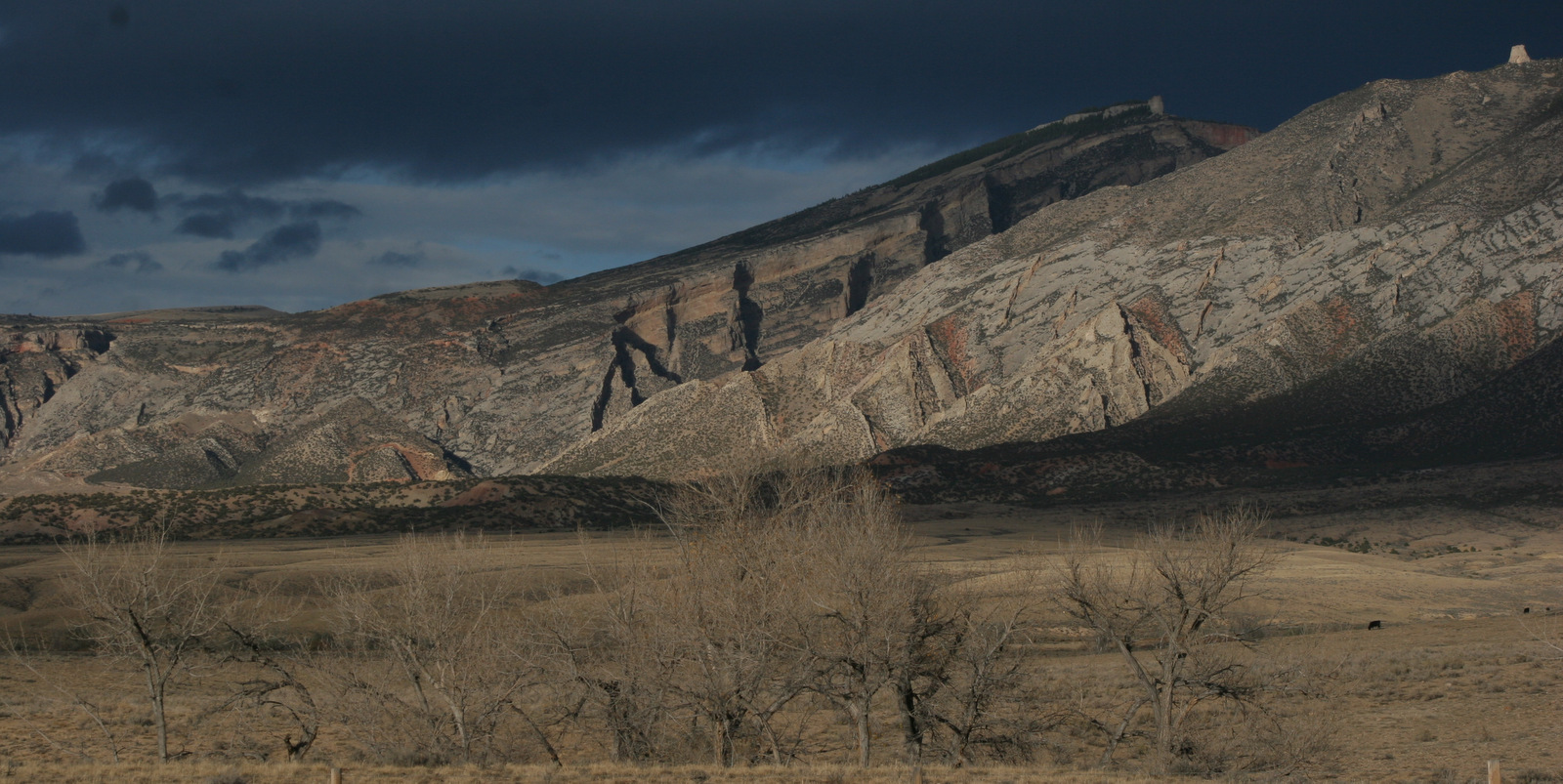
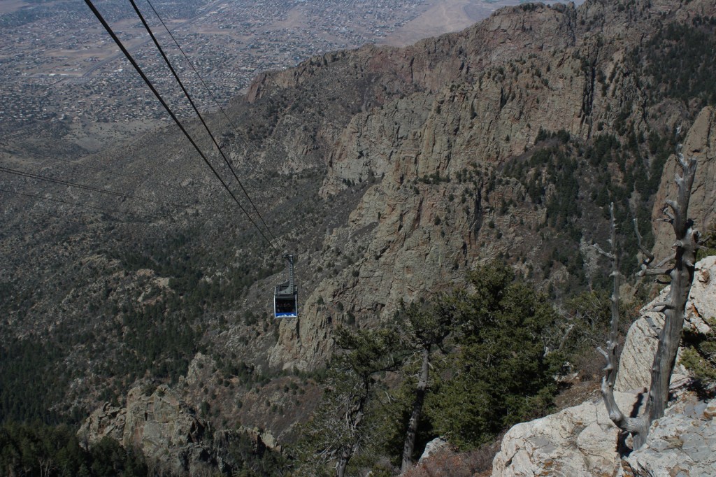
Cibola National Forest is spread across many mountain ranges in central New Mexico, including the Bear, Datil, Magdalena, San Mateo, Gallinas, Manzano, and Zuni Mountains.  Due to their proximity to Albuquerque, the most visited are the Sandia Mountains, which have a ski resort that is only open during good snow years.  You can reach the top by riding the aerial tramway (admission fee), driving Sandia Crest Scenic Byway (fee), or hiking La Luz Trail that climbs 3,800 feet in elevation. 

Highlights

Sandia Crest Scenic Byway, Tajique Canyon, Continental Divide Loop Auto Tour, Mt. Taylor, Cienega Canyon Picnic Area, McGaffey Lake, Mt. Withington, Kelly ghost town, South Baldy Peak, Whitehorse Canyon, Paxton Cone, La Luz Trail, Kiwanis Trail

Must-Do Activity

Sandia Peak rises to 10,678 feet in elevation, dominating the skyline east of Albuquerque.  The mountain makes a great backdrop for photos during the International Balloon Fiesta held every October, but we can imagine it would also be fun to watch the balloons launch or do their night lighting from the summit.  Once atop the busy peak, the North Crest, 10K, and South Crest Trails are all good hiking options that do not lose too much elevation.  Some hikers choose to ride the aerial tramway up and then take a steep trail back down to the parking lot (trekking poles recommended).

Best Trail

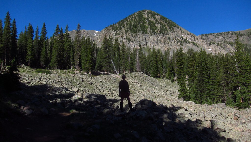
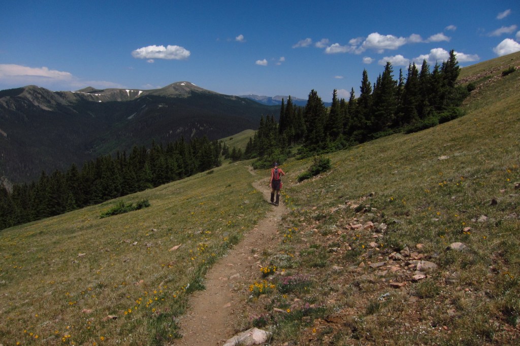
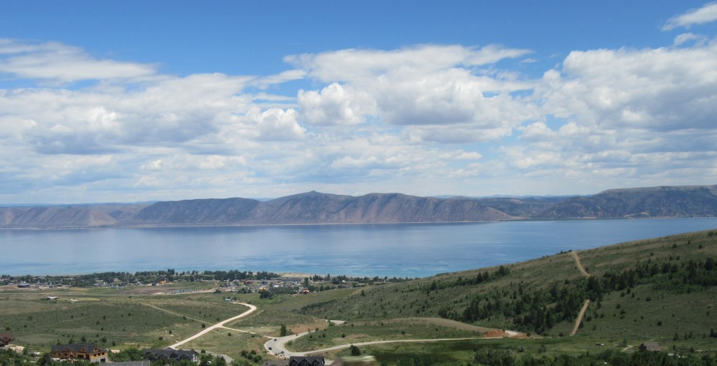
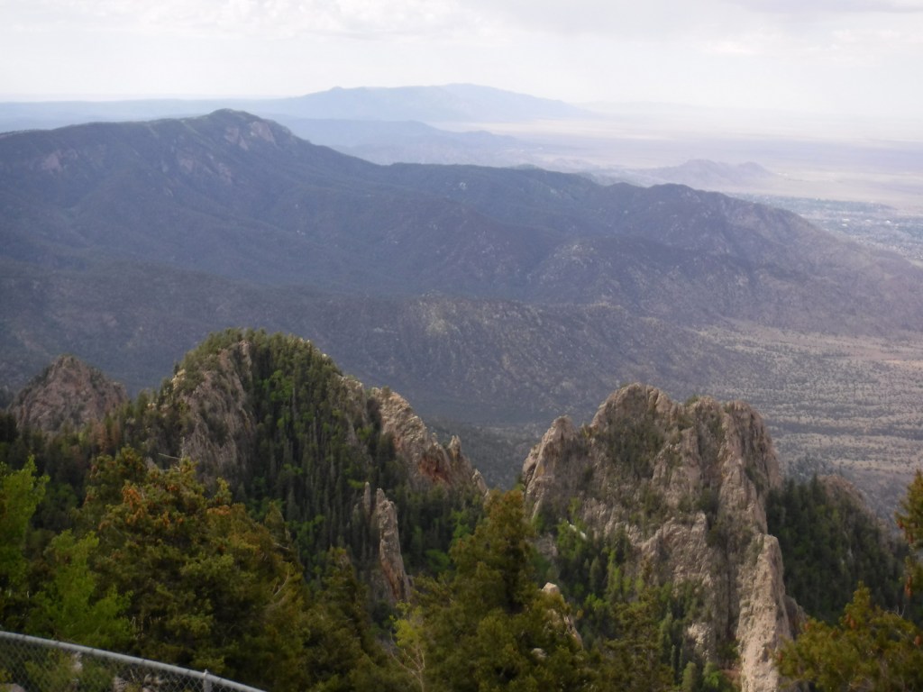
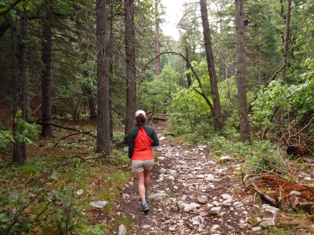
In the Manzano Mountains, both the Red Canyon (3.5 miles one-way) and Fourth of July Trails (two miles) climb to the 22-mile-long Crest Trail, which offers stunning views along its length.  Further south, the Crest Trail also accesses 10,098-foot-tall Manzano Peak.  In the San Mateo Mountains north of Interstate 40, a trail (six miles roundtrip) summits 11,301-foot Mt. Taylor, an extinct stratovolcano that is one of four mountains sacred to the Navajo.
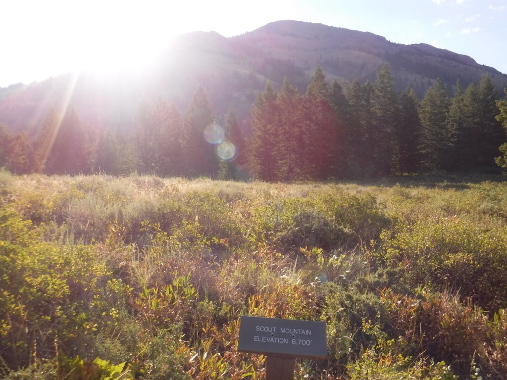
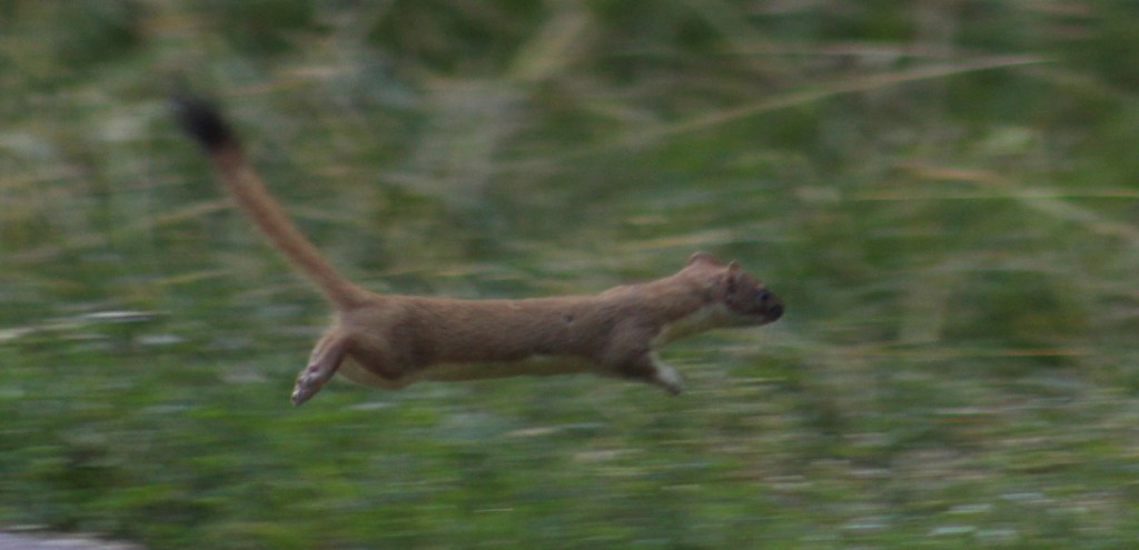
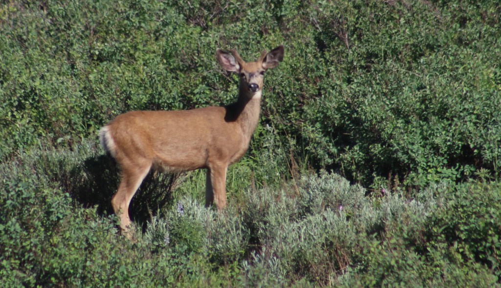
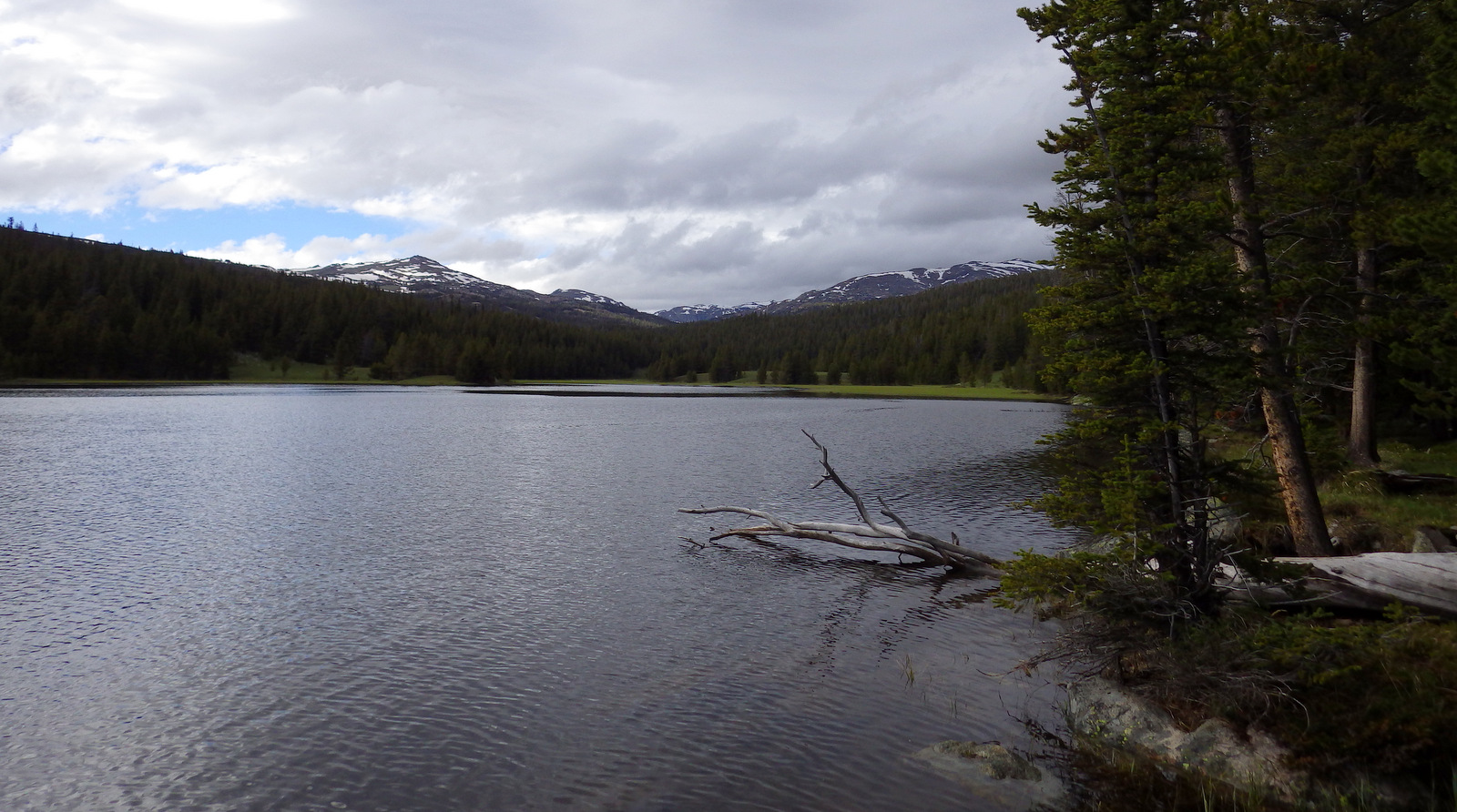
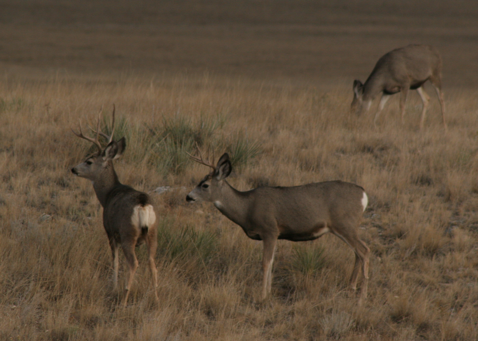
Watchable Wildlife

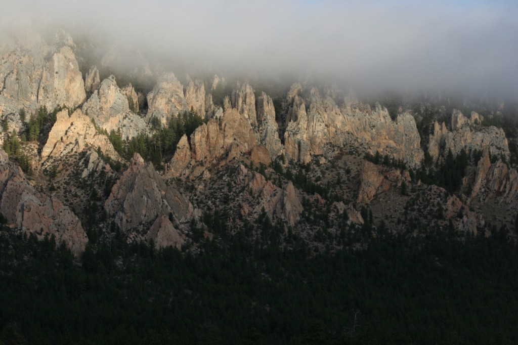
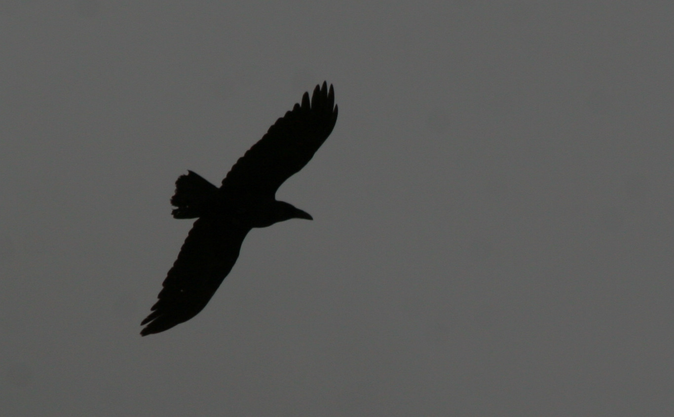
The “sky islands” of Cibola National Forest rise high above the surrounding landscape, providing habitat for numerous isolated and rare species.  Mule deer and pronghorn are the two main large ungulates found in Cibola National Forest, while its carnivores include black bears, coyotes, red foxes, bobcats, and mountain lions.  Due to its proximity to the Rio Grande Valley, many migratory birds pass through the National Forest during the spring and fall.  If you take the Sandia Peak tramway, watch for birds of prey flying the updrafts along the steep mountain grades.

Instagram-worthy Photo

From either the point where the Sandia Peak aerial tramway unloads passengers or the end of the Sandia Crest Scenic Byway, it is an easy one-hour roundtrip hike through the subalpine forest to the Kiwanis Cabin and its awesome views.

Peak Season

Summer

Fees

There is a day-use fee to park along the Sandia Crest Scenic Byway, although you can use the America the Beautiful Pass. Sandia Peak Tramway tickets are about $29 roundtrip.

Road Conditions

The Sandia Crest Scenic Byway is paved to the top, but Road 165 offers a rough dirt road alternative partway up.  Most of the roads in the Manzano Mountains are well-maintained gravel.
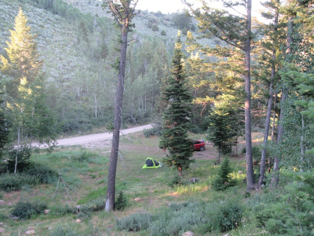
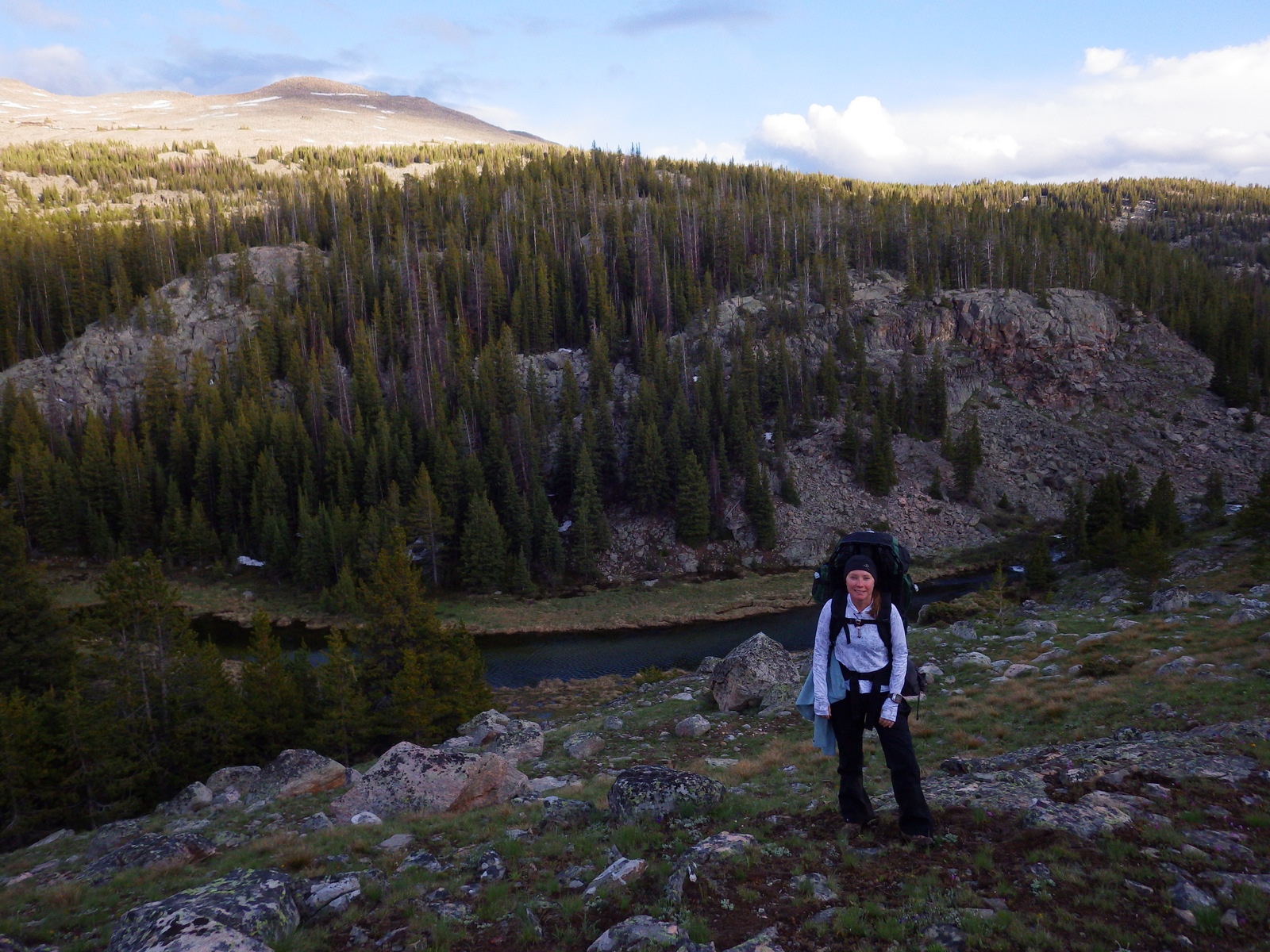
Camping

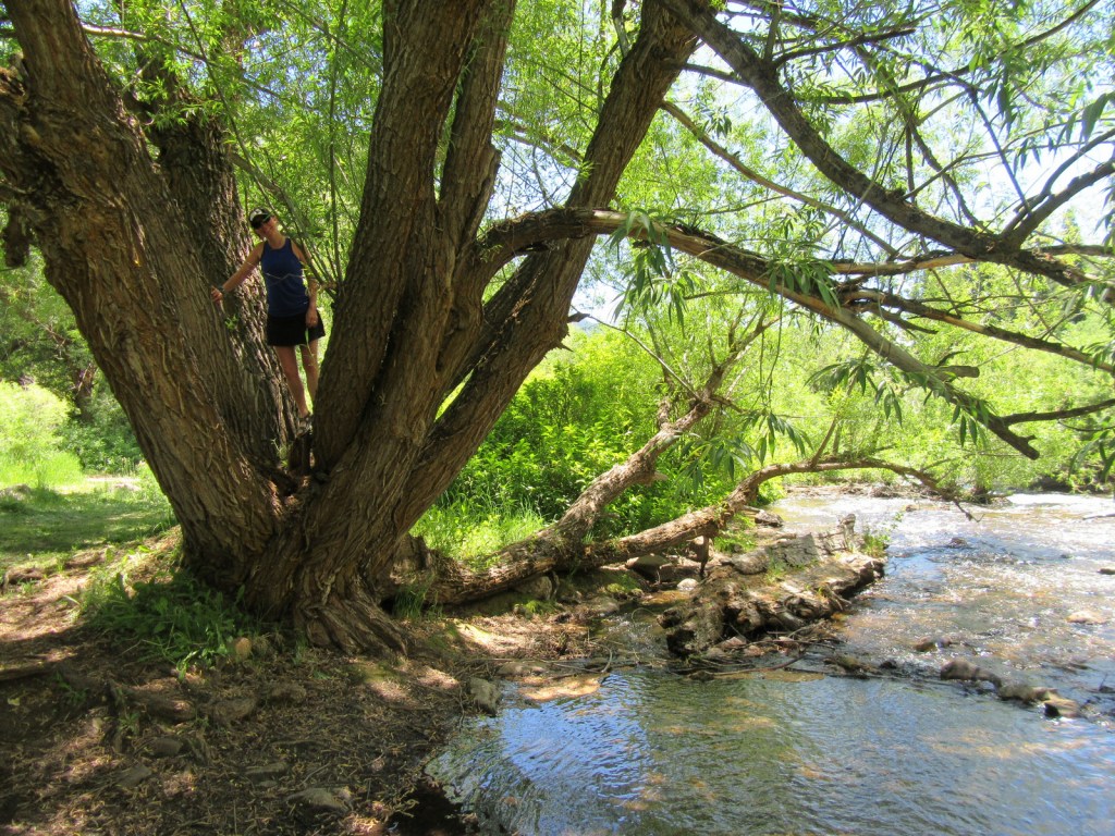
The Manzano Mountains south of Albuquerque are a great place for dispersed camping, and there are also several campgrounds.

Wilderness Areas

Apache Kid Wilderness

Manzano Mountain Wilderness

Sandia Mountain Wilderness

Withington Wilderness

Related Sites

Carson National Forest (New Mexico)

El Morro National Monument (New Mexico)

Petroglyph National Monument (New Mexico)

Nearest National Park

White Sands

Conifer Tree Species

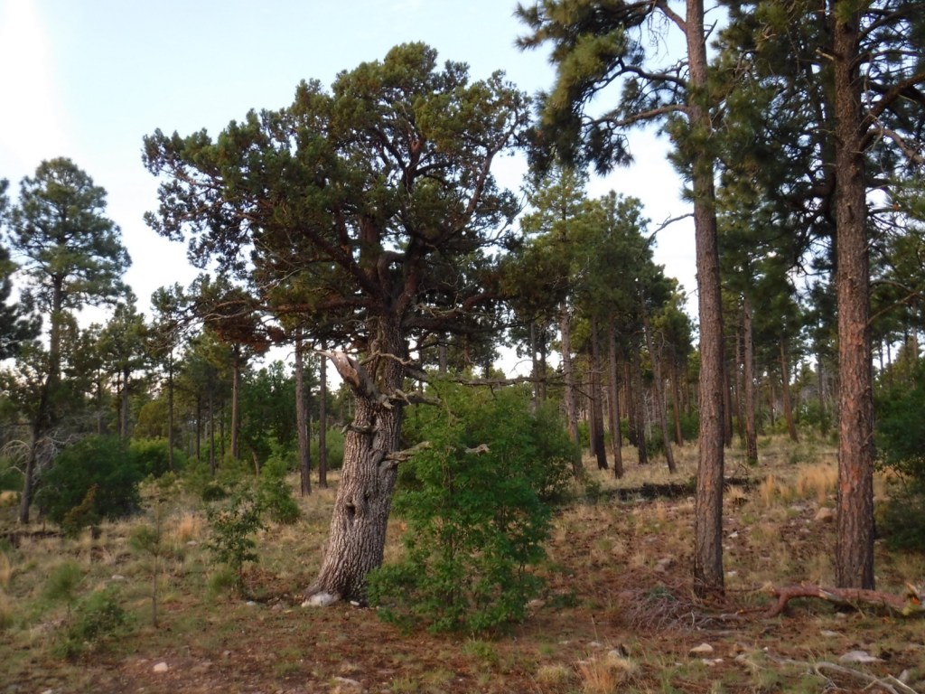
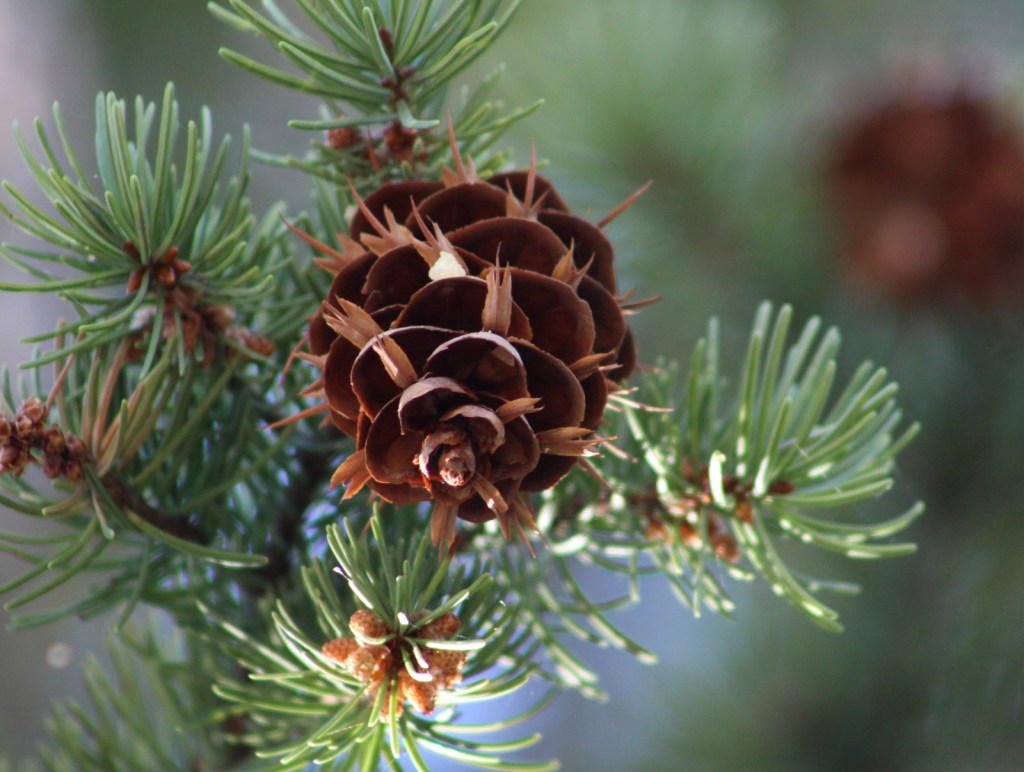
Rocky Mountain juniper, alligator juniper, Engelmann spruce, limber pine, Rocky Mountain bristlecone pine, two-needle pinyon pine, ponderosa pine, Douglas-fir, white fir, subalpine fir

Flowering Tree Species

Gambel oak, quaking aspen, bigtooth maple, boxelder, New Mexico locust, Fremont cottonwood, netleaf hackberry

Explore More – How did the Manzano Mountains get their name?

Learn more about Cibola and the 154 other National Forests in our new guidebook Out in the Woods

We are a participant in the Amazon Services LLC Associates Program, an affiliate advertising program designed to provide a means for us to earn fees by linking to Amazon.com and affiliated sites.

Carson National Forest

Carson National Forest

New Mexico

Managed by U.S. Forest Service, Southwestern Region

1,490,468 acres (1,391,674 federal/ 98,794 other)

Website: https://www.fs.usda.gov/carson

Overview

Carson National Forest is spread across the Sangre de Cristo Mountains that run 200 miles from northern New Mexico into southern Colorado’s Rio Grande and San Isabel National Forests.  In 1982, the Pennzoil Corporation donated the Valle Vidal Unit (about 100,000 acres) to the Forest Service.  A decade earlier, the Taos Pueblo successfully lobbied to return sacred Blue Lake to the tribe and remove it from Carson National Forest. 

Highlights

Enchanted Circle Scenic Byway, Wheeler Peak, Clayton Pass, Vista Grande, Brazos Ridge Overlook, Canjilon Lakes, Lobo Peak, Echo Amphitheater, Cabresto Lake, Pot Creek Cultural Site, Amole Canyon, Devisadero Loop Trail, Continental Divide National Scenic Trail, Columbine-Twining National Recreation Trail

Must-Do Activity

The National Forest contains New Mexico’s highest point (13,161-foot Wheeler Peak) near Taos Ski Valley, one of several ski resorts found here.  The gravel parking lot fills up early on summer weekends, as those looking to summit want to finish before afternoon thunderstorms.  If a 14-mile roundtrip hike with 3,771 feet of elevation gain sounds too strenuous, there are plenty of other trails around Taos Ski Valley listed below.

Best Trail

There is an extensive trail system that spiders out from Taos Ski Valley, including several that follow canyon streams and access small mountain lakes.  We recommend the Bull of the Woods Trail if you want to avoid the crowds summiting Wheeler Peak.  Other hiking options in the area include Williams Lake, Long Canyon, Lobo Peak, and Goose Lake.

Watchable Wildlife

Mule deer, elk, pronghorn, and bighorn sheep are large ungulates found in Carson National Forest.  Its carnivores include black bears, coyotes, red foxes, bobcats, and mountain lions.  The National Forest’s lakes and 400 miles of rivers and streams are mostly stocked with native trout species.

Instagram-worthy Photo

Alpine views abound on the hike up to 13,161-foot Wheeler Peak, the highest point in New Mexico.

Peak Season

Summer

Fees

None

Road Conditions

State Highway 150 is paved to Taos Ski Valley except for the very end, which is a good gravel road (as is FR 597 north of Red River).

Camping

There are many great places to camp in Carson National Forest, with notable areas being Elephant Rock Campground, Hopewell Lake Campground, and several campgrounds around the Canjilon Lakes.  We set up a dispersed camp near a high mountain pass on FR 597 above the town of Red River in the summer.

Wilderness Areas

Chama River Canyon Wilderness (also in Santa Fe National Forest)

Cruces Basin Wilderness

Latir Peak Wilderness

Pecos Wilderness (also in Santa Fe National Forest)

Wheeler Peak Wilderness

Related Sites

Pecos National Historical Park (New Mexico)

Bandelier National Monument (New Mexico)

Fort Union National Monument (New Mexico)

Nearest National Park

Great Sand Dunes

Conifer Tree Species

Engelmann spruce, limber pine, Rocky Mountain bristlecone pine, two-needle pinyon pine, ponderosa pine, Douglas-fir, white fir, subalpine fir

Flowering Tree Species

Gambel oak, quaking aspen, bigtooth maple, boxelder, New Mexico locust, Fremont cottonwood, netleaf hackberry

Explore More – Who was the U.S. President that pushed through Congress the Taos Pueblo appeal to return Blue Lake?

Learn more about Carson and the 154 other National Forests in our new guidebook Out in the Woods

We are a participant in the Amazon Services LLC Associates Program, an affiliate advertising program designed to provide a means for us to earn fees by linking to Amazon.com and affiliated sites.

Caribou National Forest

Caribou National Forest

Idaho, Utah, Wyoming

Managed by U.S. Forest Service, Intermountain Region

1,085,966 acres (987,216 federal/ 98,750 other)

Website: https://www.fs.usda.gov/ctnf

Overview

Co-managed as Caribou-Targhee National Forest since 2000, Caribou National Forest is located in the southeastern corner of Idaho.  To add to the jurisdictional muddle, Caribou National Forest has also administered the 263,940-acre Idaho portion of Wasatch-Cache National Forest since 1973 (see previous blog post).  However, nearly 50 years later all of the wooden signs in this area still read Cache National Forest.  Despite the signage, U.S. Forest Service publications and topographic maps identify Minnetonka Cave and Paris Ice Cave as being in Caribou-Targhee National Forest, so we went with that.  Confused?  So are we, so much so that we made a phone call to a Forest Service employee in this ranger district that still did not clear up the bureaucratic mess.

Highlights

Pioneer Historic Scenic Byway, Minnetonka Cave, Paris Ice Cave, Caribou City ghost town, Malad Range, Tincup Mountain, Oregon Trail-Bear Lake Scenic Byway, Lander Cutoff, Oneida Salt Works, Cherry Springs Nature Area, Montpelier Canyon, Bloomington Lake, Scout Mountain Nature Trail

Must-Do Activity

In Montpelier, Idaho, the National Oregon/California Trail Center is managed by the U.S. Forest Service on the Pioneer Historic Scenic Byway.  To the southwest, Minnetonka Cave is one of the few developed cave tours offered by (a concessionaire for) the Forest Service.  The natural entrance to Minnetonka Cave was widened and the route lighted by the Works Progress Administration in the 1930s when 444 stairs were installed to allow large groups to visit.  The tour goes out and back on the same route so the steep downward sections become climbs on the return trip, but guides make multiple stops in both directions to allow you to catch your breath at this high elevation.

Best Trail

Further north than Minnetonka Cave, a 9.5-mile long dirt road drive up to 7,800 feet in elevation leads to the short boardwalk through the Paris Ice Cave.  This photogenic natural tunnel is open at both ends so it does not require a flashlight, but does retain snowpack deep into the summer months.  Signs at both caves still say Cache National Forest even though this district has not been managed by them since 1973.

Watchable Wildlife

This is a fairly arid portion of the west, so you are more likely to see a ground squirrel, coyote, or mule deer than any other wildlife.  In Minnetonka Cave, our tour guide pointed out a couple Townsend’s big-eared bats, which is why they screen all visitors for white-nosed bat syndrome.  We disturbed a nesting robin when exiting the Paris Ice Cave.

Instagram-worthy Photo

On the Idaho-Utah border, the 109-square-mile Bear Lake has been called the “Caribbean of the Rockies” because of its water’s intense turquoise color, due to suspended limestone sediment.  The naturally-formed lake sits at 5,924 feet in elevation and its maximum depth is 208 feet.  Both states have their own Bear Lake State Park with boat ramps and beaches for swimming. 

Peak Season

Summer

Fees

It costs $12 per person for the 80-minute Minnetonka Cave Tour that you must pay before driving up to the actual cave, but we did not come across any other fees.

Road Conditions

Access to Minnetonka Cave is paved and the 9.5-mile long dirt road drive up to Paris Ice Cave was good enough for our passenger vehicle to handle.

Camping

There are numerous campgrounds on the way to Minnetonka Cave and we found a large, flat dispersed camp along the road to Paris Ice Cave.

Wilderness Areas

None

Related Sites

Targhee National Forest (Idaho-Wyoming)

Fossil Butte National Monument (Wyoming)

Timpanogos Cave National Monument (Utah)

Nearest National Park

Grand Teton (Wyoming)

Conifer Tree Species

Rocky Mountain juniper, Utah juniper, limber pine, whitebark pine, ponderosa pine, lodgepole pine, Engelmann spruce, subalpine fir, white fir, Douglas-fir

Flowering Tree Species

quaking aspen, river birch, boxelder, Rocky Mountain maple, Bebb willow, blue elderberry, red osier dogwood, chokecherry, curlleaf mountain-mahogany, sagebrush

Explore More – The Caribou Mountains were named for a gold miner nicknamed “Cariboo Jack,” but what was his real name?

Learn more about Caribou and the 154 other National Forests in our new guidebook Out in the Woods

We are a participant in the Amazon Services LLC Associates Program, an affiliate advertising program designed to provide a means for us to earn fees by linking to Amazon.com and affiliated sites.

Cache National Forest

Cache National Forest

Utah, Idaho

Managed by U.S. Forest Service, Intermountain Region

1,216,778 acres (701,652 federal/ 515,126 other)

Website: https://www.fs.usda.gov/uwcnf

Overview

Cache National Forest surrounds Logan, Utah on three sides covering the Bear River Range and Wellsville Mountains, which are considered to have the steepest grade in the entire nation.  Since August 2007, Cache National Forest is officially part of the massive Uinta-Wasatch-Cache National Forest that sprawls across northeastern Utah.  To add to the bureaucratic confusion, the 263,940 acres of Cache National Forest in Idaho have been administered since 1973 by Caribou National Forest (see our next blog post).  When you subtract that land area, it only includes 437,712 acres of federal land, making it one of the smallest National Forests in the western U.S.

Highlights

Logan Canyon Scenic Byway, Wind Cave, Jardine Juniper, Tea Pot Rock, Old Limber Pine Nature Trail, Ogden River Scenic Byway, Pineview Reservoir, Tony Grove Lake Campground, Causey Reservoir, Wellsville Mountains, Naomi Peak National Recreation Trail

Must-Do Activity

Logan Canyon Scenic Byway follows Highway 89 and the beautiful Logan River up to a pass with views of Bear Lake, a naturally-formed body of water that gets its turquoise color from suspended limestone sediment (earning it’s the nickname “Caribbean of the Rockies”).  Logan Canyon is especially busy in the fall when the leaves change on quaking aspens and three species of maples: boxelder, canyon/bigtooth maple, and Rocky Mountain maple. 

Best Trail

Logan Canyon has two popular, but steep trails that lead to Wind Cave and the Old Jardine Juniper, the world’s largest Rocky Mountain juniper estimated to be at least 3,000 years old.  The 3.6-mile out-and-back trail to Wind Cave starts from a roadside pullout across from Guinavah-Malibu Campground and gains more than 900 feet in elevation.  Hiking to the Old Jardine Juniper requires a climb of over 2,100 feet along the five-mile one-way trail, which continues further into the Mt. Naomi Wilderness.

Watchable Wildlife

Trout fishing is a popular activity due to all of the rivers and streams in Cache National Forest.  Large mammalian species include elk, mule deer, pronghorns, and black bears.  Watch the skies above Logan Canyon for ravens and a variety of birds of prey.

Instagram-worthy Photo

The limestone arches of Wind Cave originally formed underground then were exposed when the Logan River cut its steep canyon.

Peak Season

Summer

Fees

None

Road Conditions

Logan Canyon (Highway 89) and Ogden River (Highway 39) Scenic Byways are both paved.  We did not drive any unpaved roads, but we did notice that the dirt roads around Bear Lake Summit (on Highway 89) looked very rutted and four-wheel-drive only.

Camping

There are numerous campgrounds along both the Logan Canyon and Ogden River Scenic Byways.  We did not notice any dispersed campsites in these areas, although there probably are some options in more remote portions of the National Forest.

Wilderness Areas

Mt. Naomi Wilderness

Wellsville Mountain Wilderness

Related Sites

Golden Spike National Historical Park (Utah)

Timpanogos Cave National Monument (Utah)

Wasatch National Forest (Utah-Wyoming)

Nearest National Park

Grand Teton (Wyoming)

Conifer Tree Species

Rocky Mountain juniper, Utah juniper, limber pine, whitebark pine, ponderosa pine, lodgepole pine, Engelmann spruce, subalpine fir, white fir, Douglas-fir

Flowering Tree Species

quaking aspen, river birch, boxelder, canyon/bigtooth maple, Rocky Mountain maple, Bebb willow, blue elderberry, chokecherry, curlleaf mountain-mahogany, sagebrush

Explore More – In what year did the Cache Valley host the second-ever rendezvous of fur-trapping mountain men?

Learn more about Cache and the 154 other National Forests in our new guidebook Out in the Woods

We are a participant in the Amazon Services LLC Associates Program, an affiliate advertising program designed to provide a means for us to earn fees by linking to Amazon.com and affiliated sites.

Bighorn National Forest

Bighorn National Forest

Wyoming

Managed by U.S. Forest Service, Rocky Mountain Region

1,115,160 acres (1,107,571 federal/ 7,589 other)

Website: https://www.fs.usda.gov/bighorn

Overview

In northern Wyoming, the Bighorn Mountains are crisscrossed by three scenic byways: Cloud Peak Skyway, Bighorn Scenic Byway, and Medicine Wheel Passage.  Bighorn National Forest has such amazing views you can even enjoy them without stepping foot on the ground.  While you could enjoy the National Forest strictly through your windshield, you should lace up your hiking boots and explore some of the 150 miles of trails within the spectacular 189,039-acre Cloud Peak Wilderness.

Highlights

Shell Falls, Fallen City, Medicine Wheel National Historic Landmark, Bucking Mule Falls, Coney Lake, Porcupine Falls, Crazy Woman Creek, Ten Sleep Canyon, Mistymoon Trail

Must-Do Activity

Medicine Wheel National Historic Landmark is an 80-foot-diameter circle of rocks divided into 28 spokes to match the lunar cycle.  This breathtaking archaeological site lies at nearly 10,000 feet in elevation with stunning panoramas in all directions.  It is possible to drive all the way to the site with a four-wheel-drive vehicle, but most visitors park in the lot located three miles up the road that climbs steeply from the turnoff on Highway 14A.  From the parking area, it is a 1.5-mile walk down the undulating road, which can be cold and windy even in the middle of the summer.

Best Trail

Mistymoon Trail is one of the most famous backpacking areas in the state of Wyoming, a six-mile jaunt into scenic Cloud Peak Wilderness with only about 1,000 feet elevation gain to Mistymoon Lake.  Leaving from the same trailhead at West Tensleep Lake, another trail leads to Mirror Lake and Lost Twin Lakes after multiple stream crossings.

Watchable Wildlife

As you might guess from its name, the National Forest is home to bighorn sheep, although they had to be reintroduced after being eradicated by diseases and hunting.  Given its location at the edge of the Great Plains, both white-tailed deer and mule deer overlap here, usually to the detriment of less-aggressive mule deer.  The North Tongue River is one of several clear waterways that attract trout fishermen, and elk hunters crowd this area in the fall.

Instagram-worthy Photo

You will definitely want to get out of the car to see 120-foot tall Shell Falls, which is located right off Highway 14. 

Peak Season

Summer

Fees

None

Road Conditions

Snow can close Cloud Peak Skyway (Highway 16) and Bighorn Scenic Byway (Highway 14) temporarily in the winter, and Medicine Wheel Passage (Highway 14A) until late spring.  Forest Road 27 is a wide gravel road that leads seven miles north from Highway 16 to West Tensleep Lake Campground and trailhead.  Accessing the short trail to 600-foot tall Bucking Mule Falls involves driving about ten miles of dirt roads.

Camping

There are many campgrounds, including popular ones at Meadowlark Lake and West Tensleep Lake.  For a more-developed experience, try Medicine Lake Lodge or Meadowlark Lake Resort.  We have driven through this area multiple times and found a couple good dispersed campsites on dirt roads.

Wilderness Areas

Cloud Peak Wilderness

Related Sites

Bighorn Canyon National Recreation Area (Montana-Wyoming)

Little Bighorn Battlefield National Monument (Montana)

Black Hills National Forest (South Dakota-Wyoming)

Nearest National Park

Yellowstone (Wyoming-Montana-Idaho)

Conifer Tree Species

Douglas-fir, Rocky Mountain juniper, subalpine fir, Engelmann spruce, white spruce, limber pine, ponderosa pine, lodgepole pine

Flowering Tree Species

quaking aspen, Rocky Mountain maple, curlleaf mountain-mahogany, sagebrush

Explore More – How tall is Cloud Peak, namesake for the 189,039-acre Cloud Peak Wilderness?