We have not stayed at many campgrounds in National Parks, but enough to have had bad experiences in noisy Zion and Yosemite. This is our ranking of the top 10 National Park campgrounds with running water (as opposed to those with vault toilets that we ranked separately).

10. Navajo National Monument (Arizona)
Sunset View Campground is free and lives up to its name offering great views at sunset.
- Great Sand Dunes National Park (Colorado)
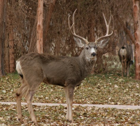
Mule deer frequent Pinyon Flats Campground (88 sites) which overlooks the dunefield.
- Catoctin Mountain Park (Maryland)
Owens Creek Campground is thickly forested, offering privacy and quiet.
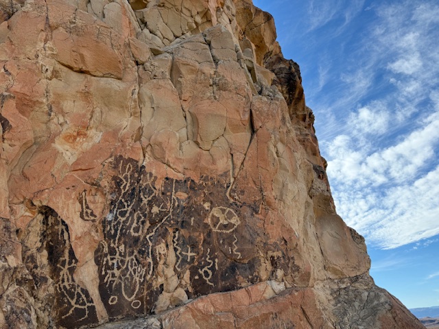
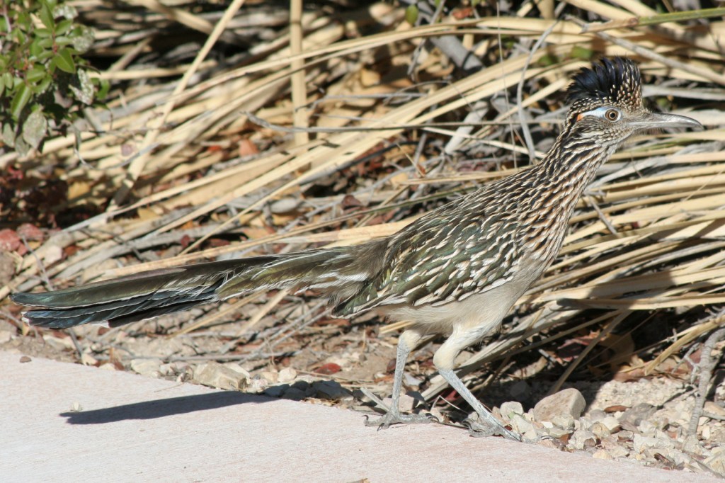
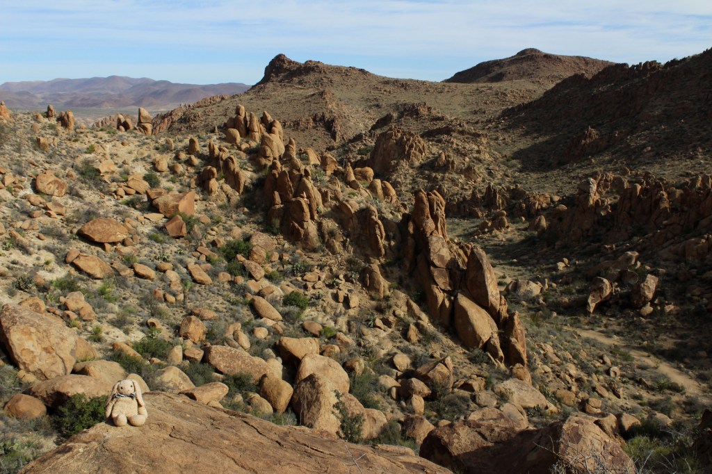
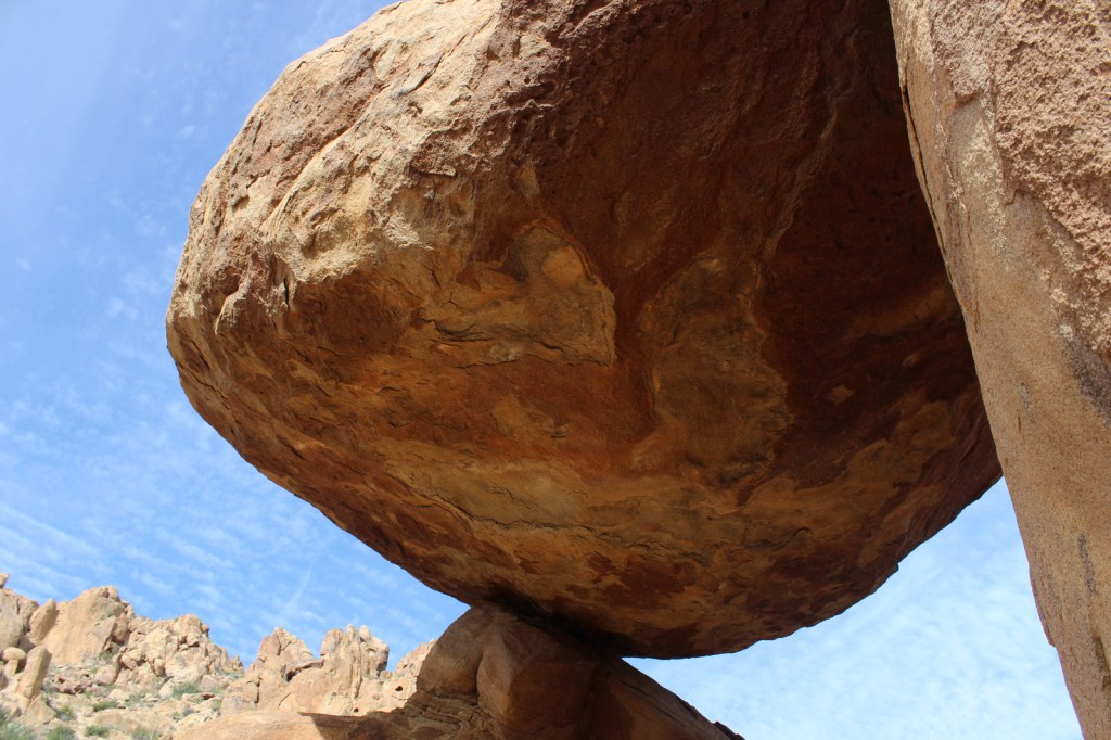
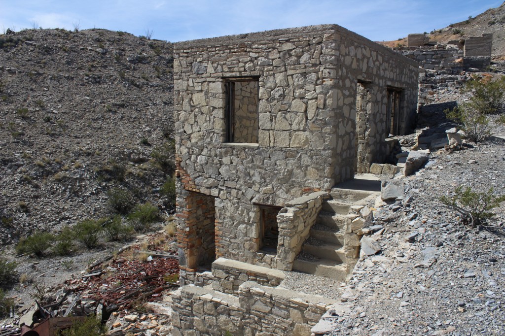
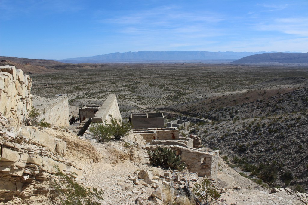
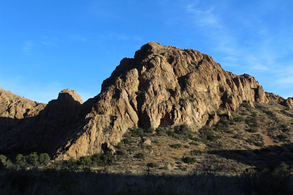
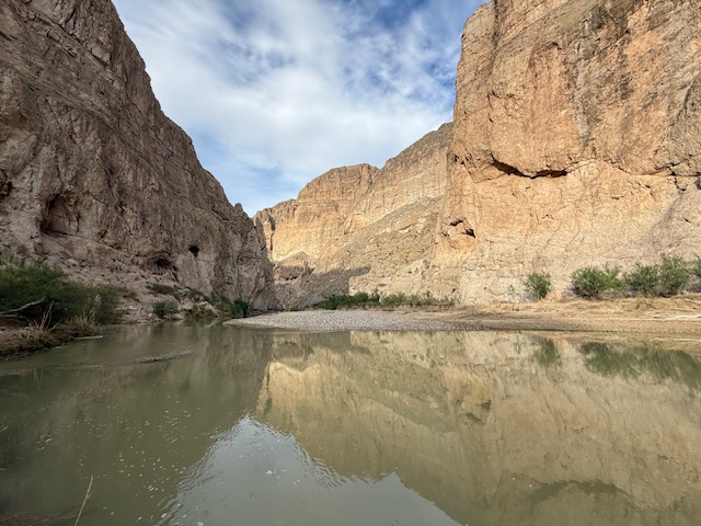
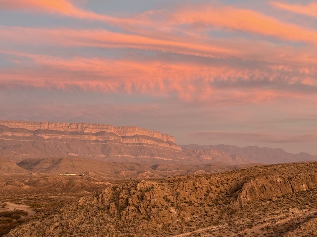
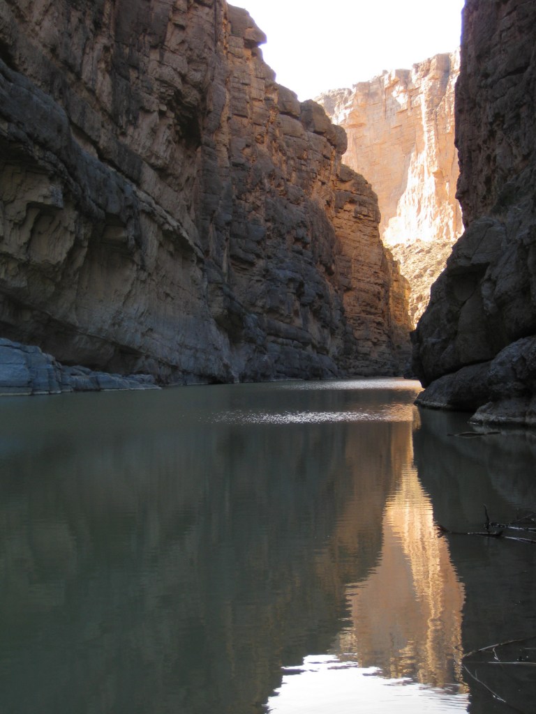
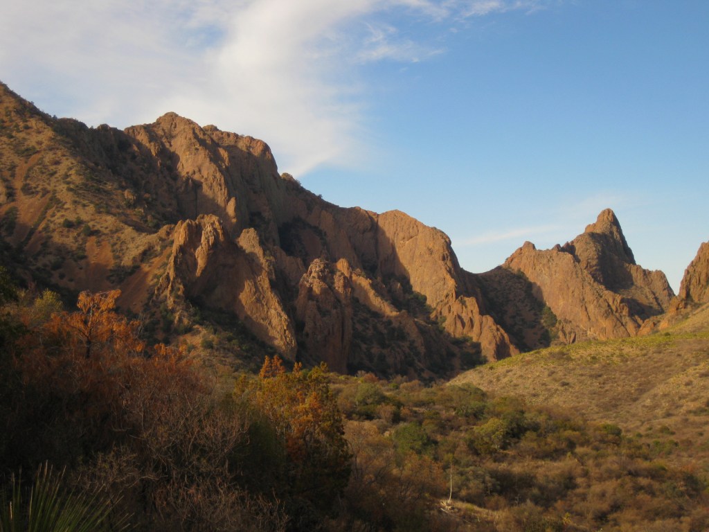
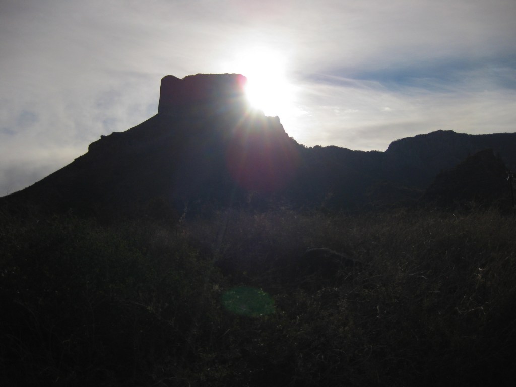
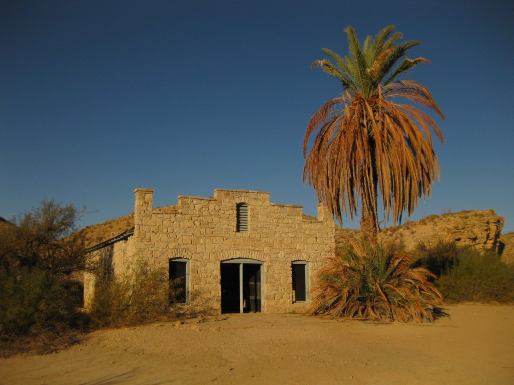
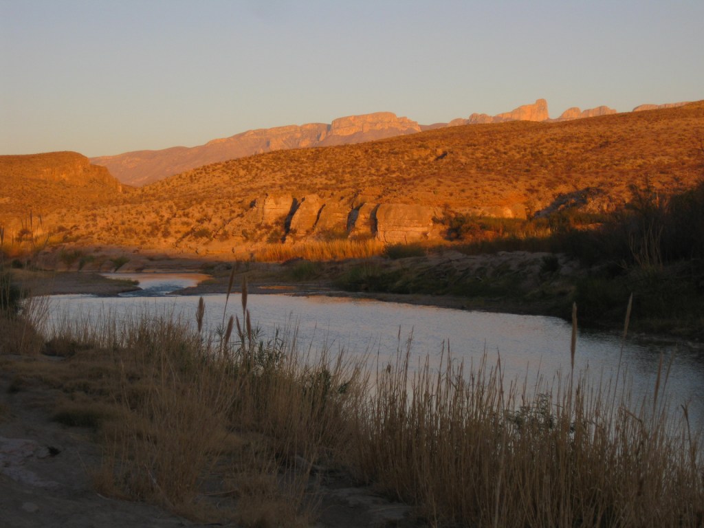
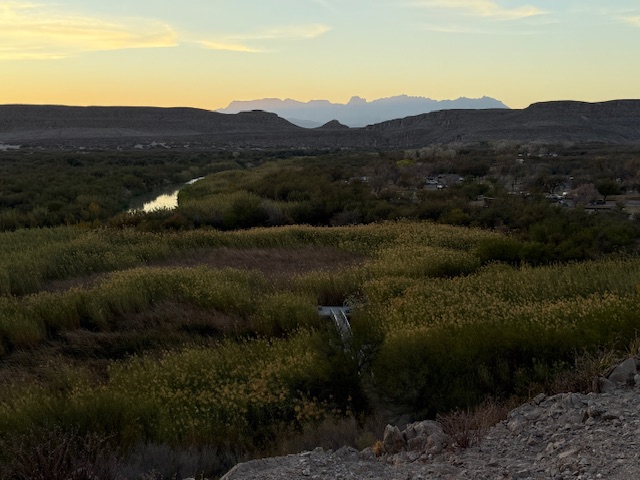
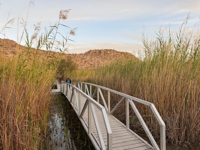
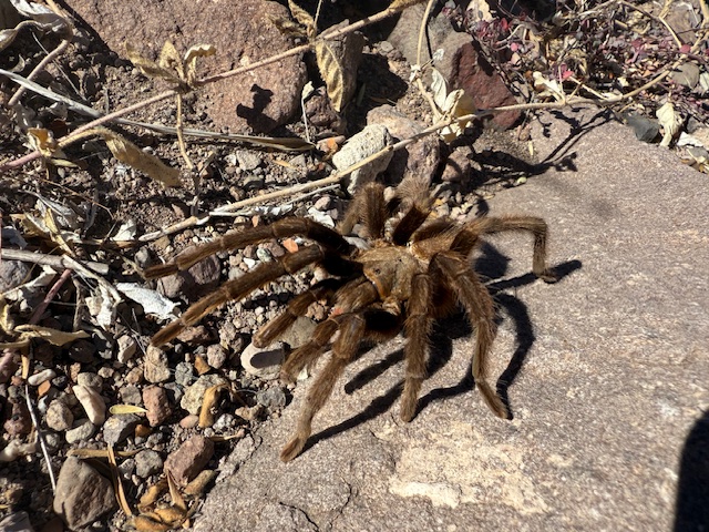
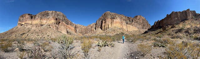
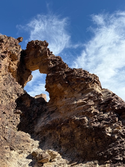
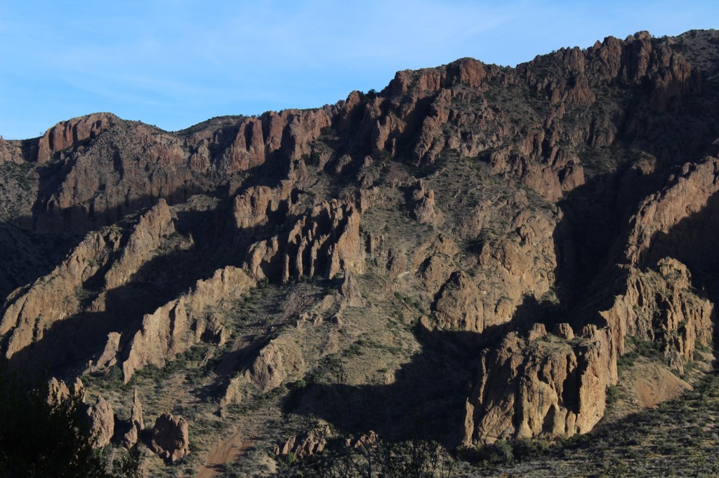
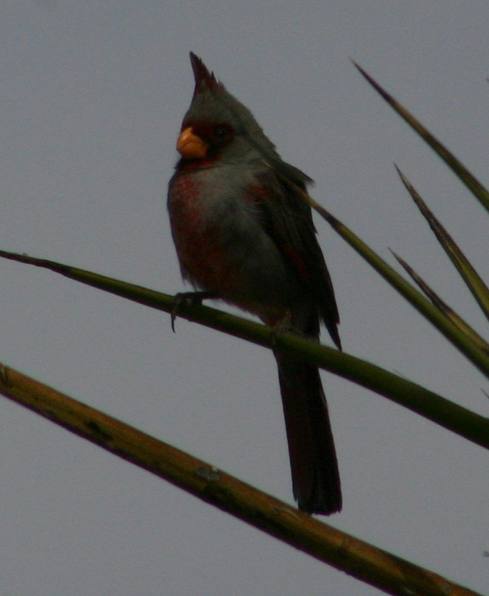
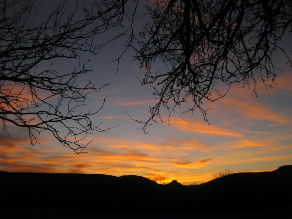
- Big Bend National Park (Texas)
Chisos Basin Campground has 360° views and its high elevation keeps it cool even in the summer.
- Acadia National Park (Maine)
Away from the bustle of Mount Desert Island, we spent a quiet night at the new Schoodic Peninsula Campground.
- Everglades National Park (Florida)
Long Pine Key Campground is open year round and was almost deserted during our April visit.
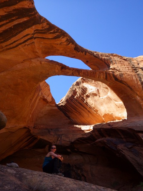
- Arches National Park (Utah)
Located at the end of the road, Devil’s Garden Campground is a great starting point for a hike to Tapestry or Broken Arch.
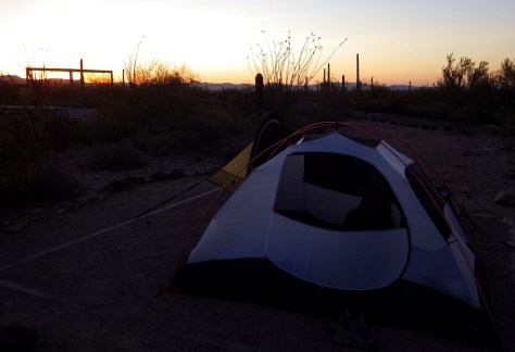
- Organ Pipe Cactus National Monument (Arizona)
Probably not as nice in the summer, but we enjoyed our March stay in Twin Peaks Campground with its many trails.
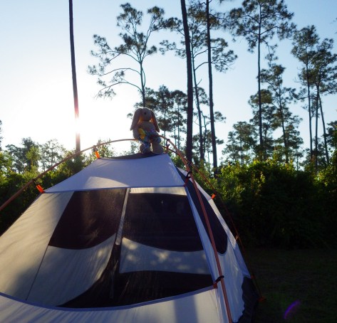
- Indiana Dunes National Park (Indiana)
Campsites are nicely spread out in Dunewood Campground, inland from Lake Michigan.
…and finally our #1 campground in a National Park!
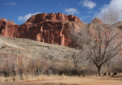
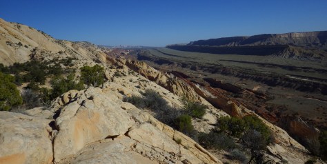
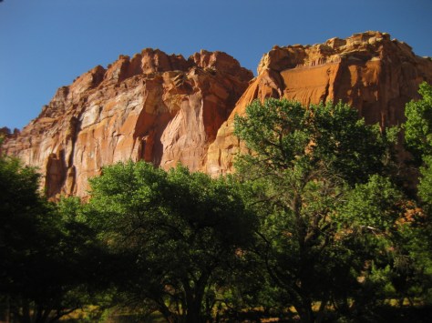
- Capitol Reef National Park (Utah)
Turkeys and mule deer will also be camping with you in the apple orchards of the Fruita District.
Honorable Mention
Guadalupe Mountains National Park (Texas)
The spots are close together, but it has a great location at the trailhead for Guadalupe Peak and not far from Carlsbad Caverns National Park (without a campground) across the border in New Mexico.
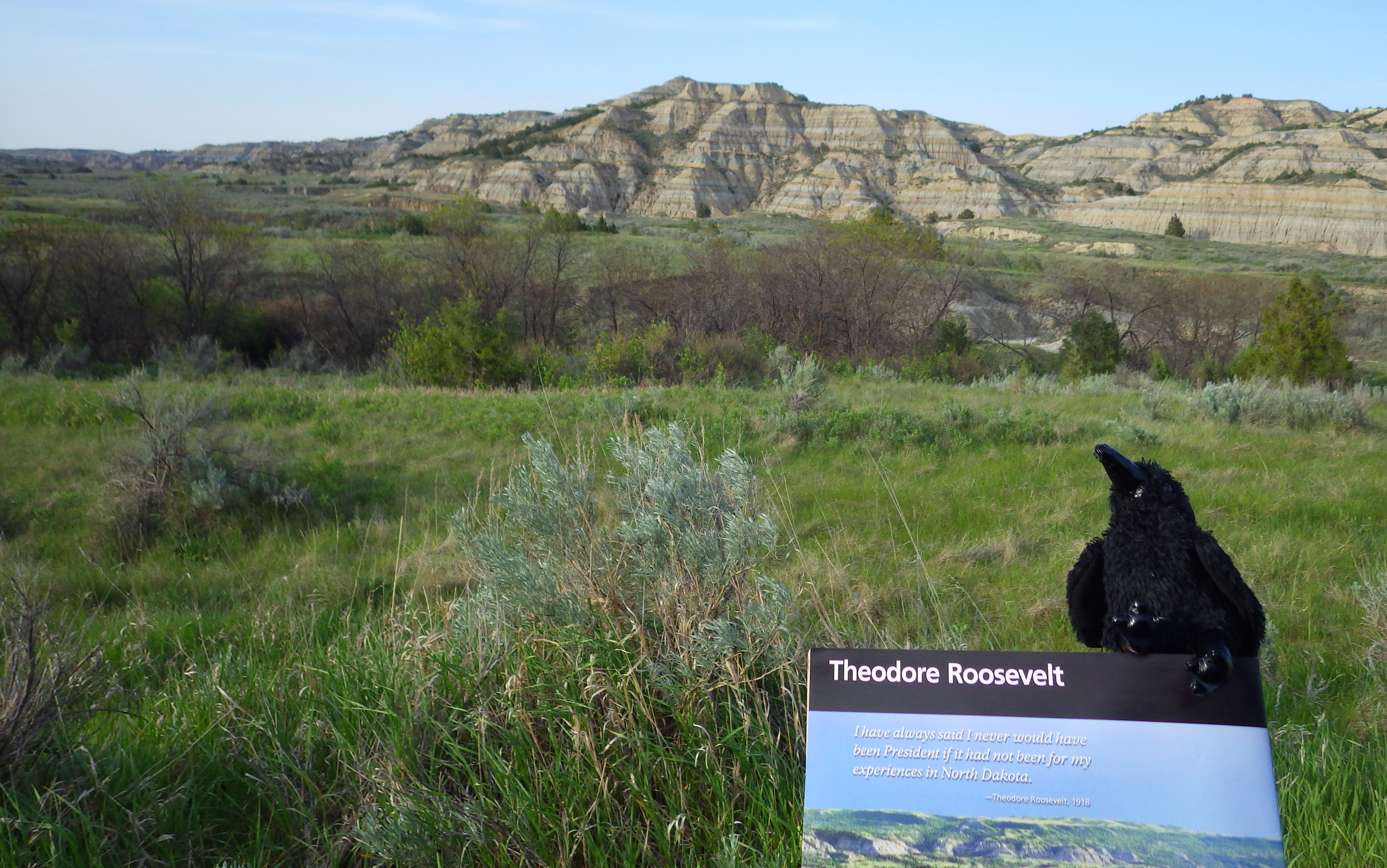
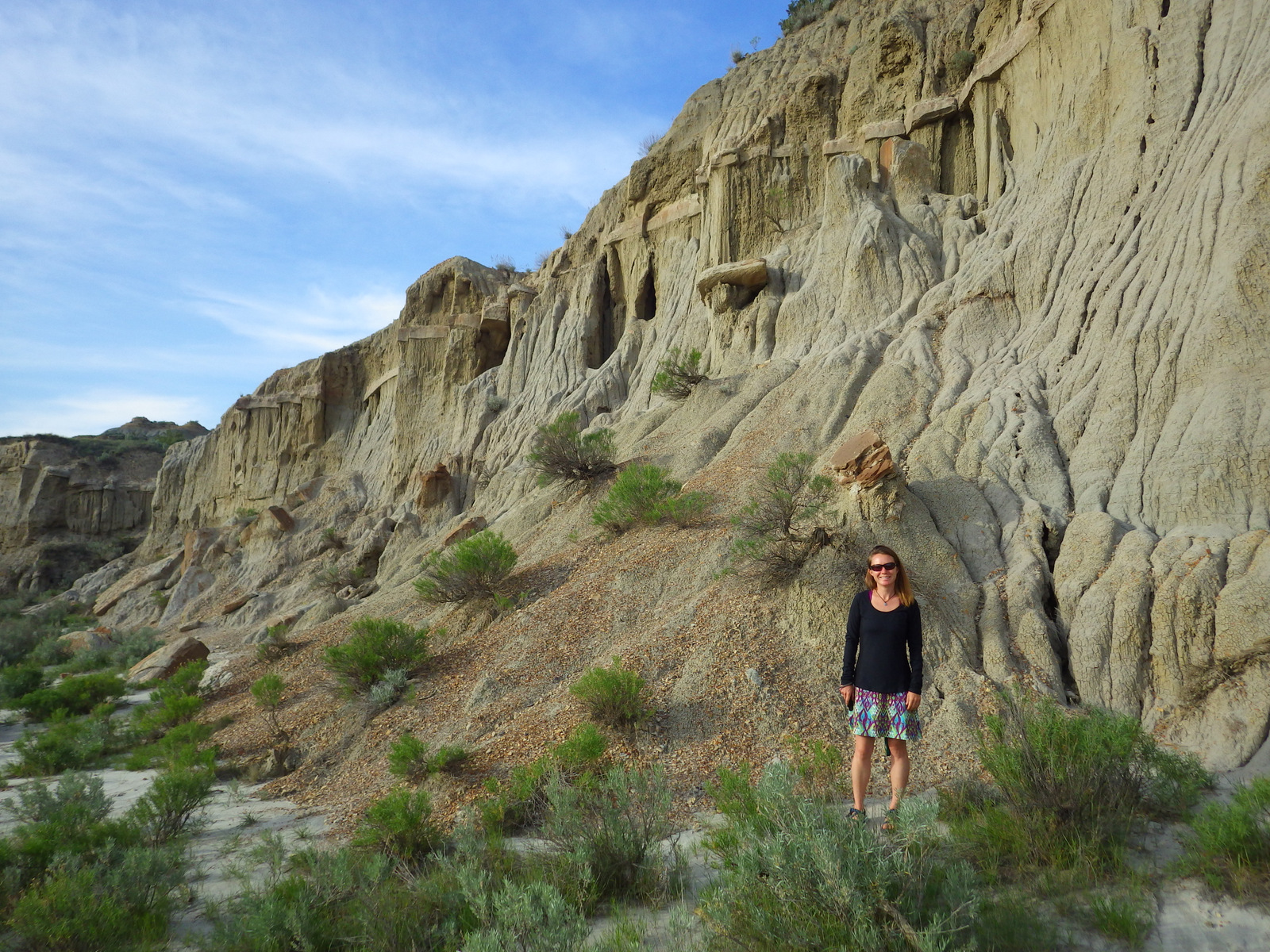
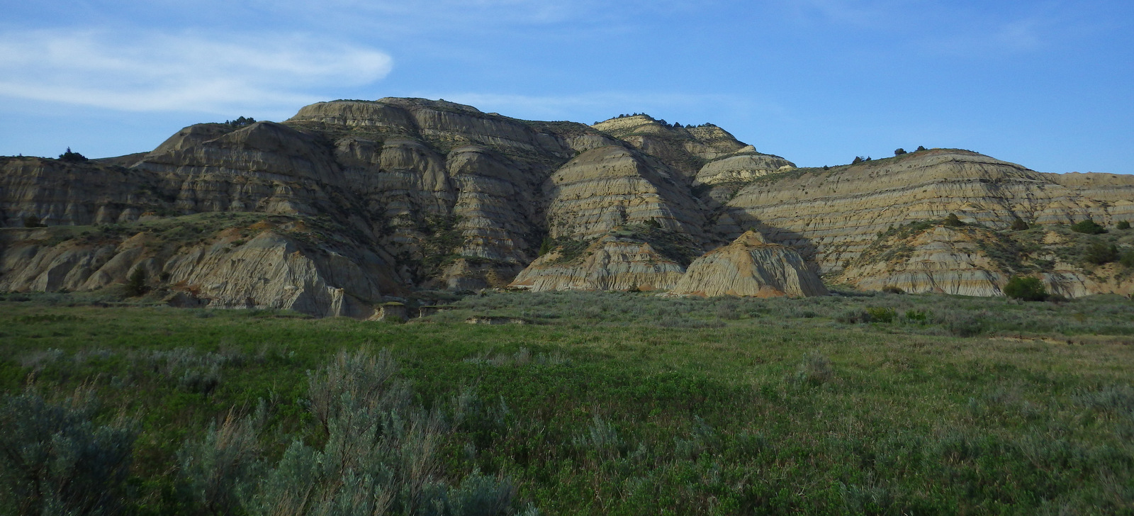
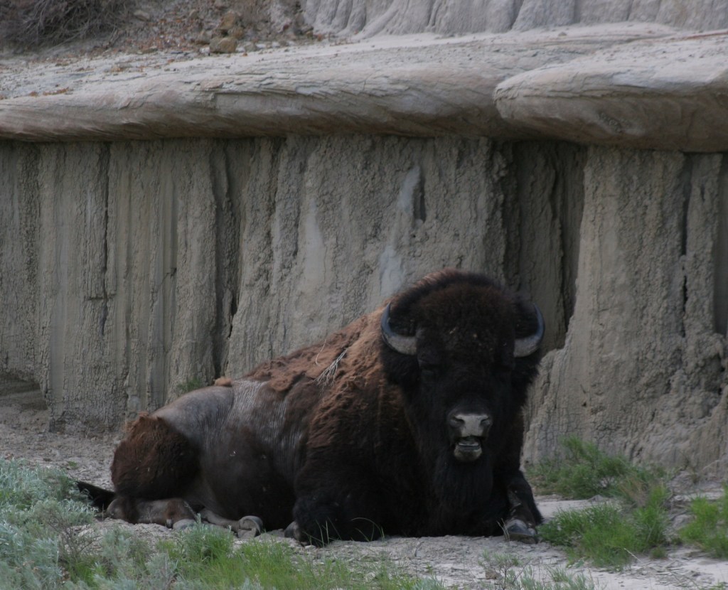
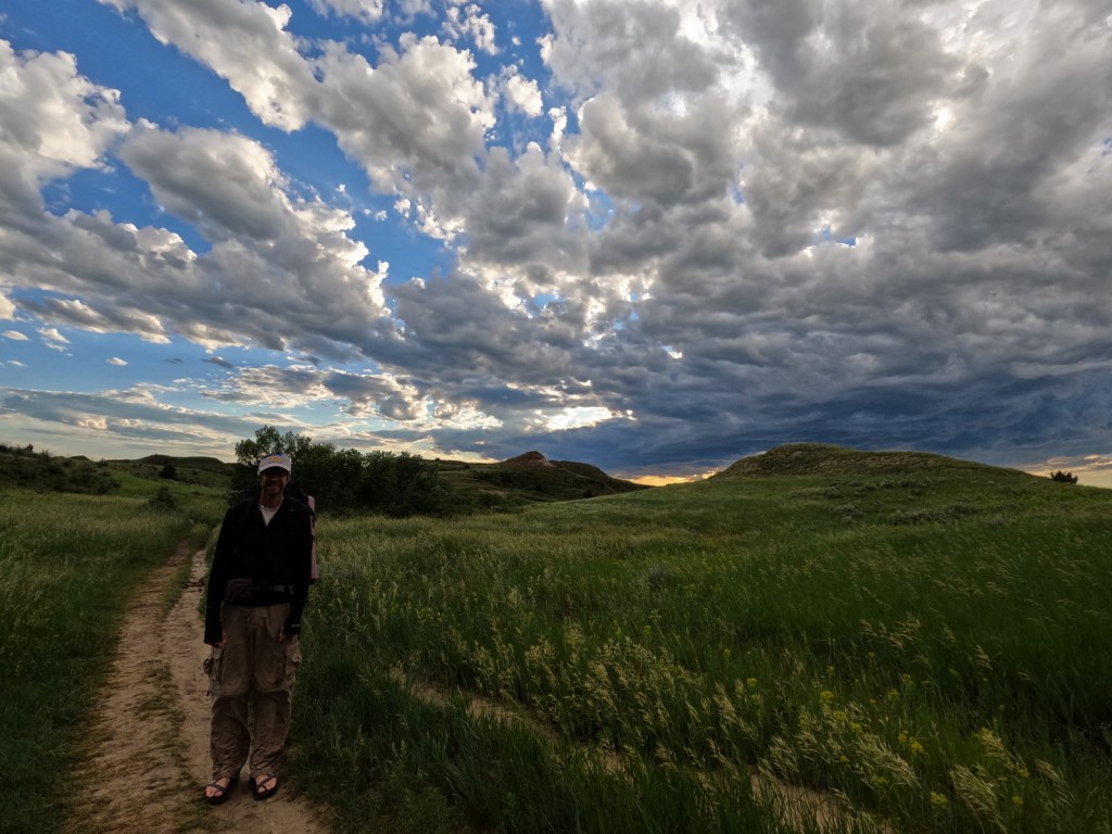
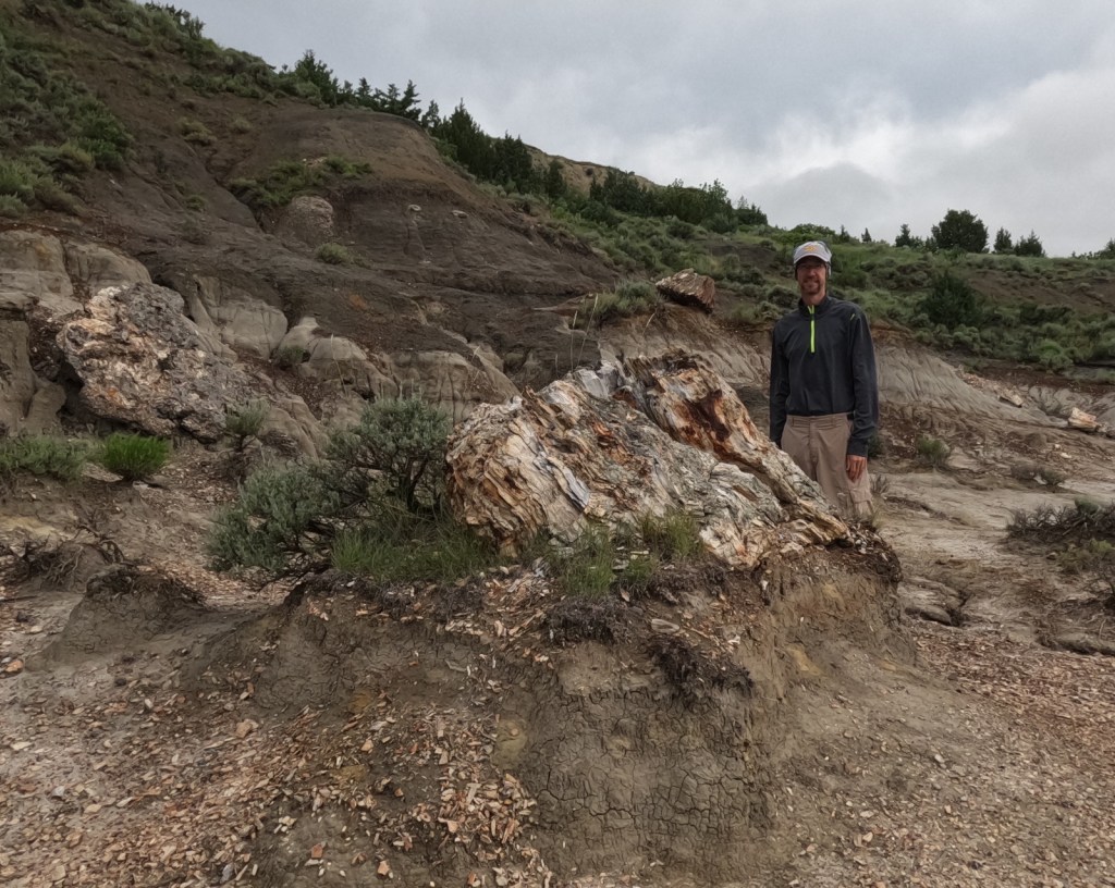
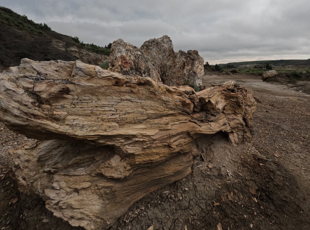
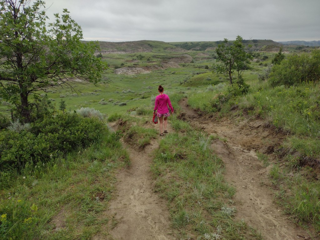
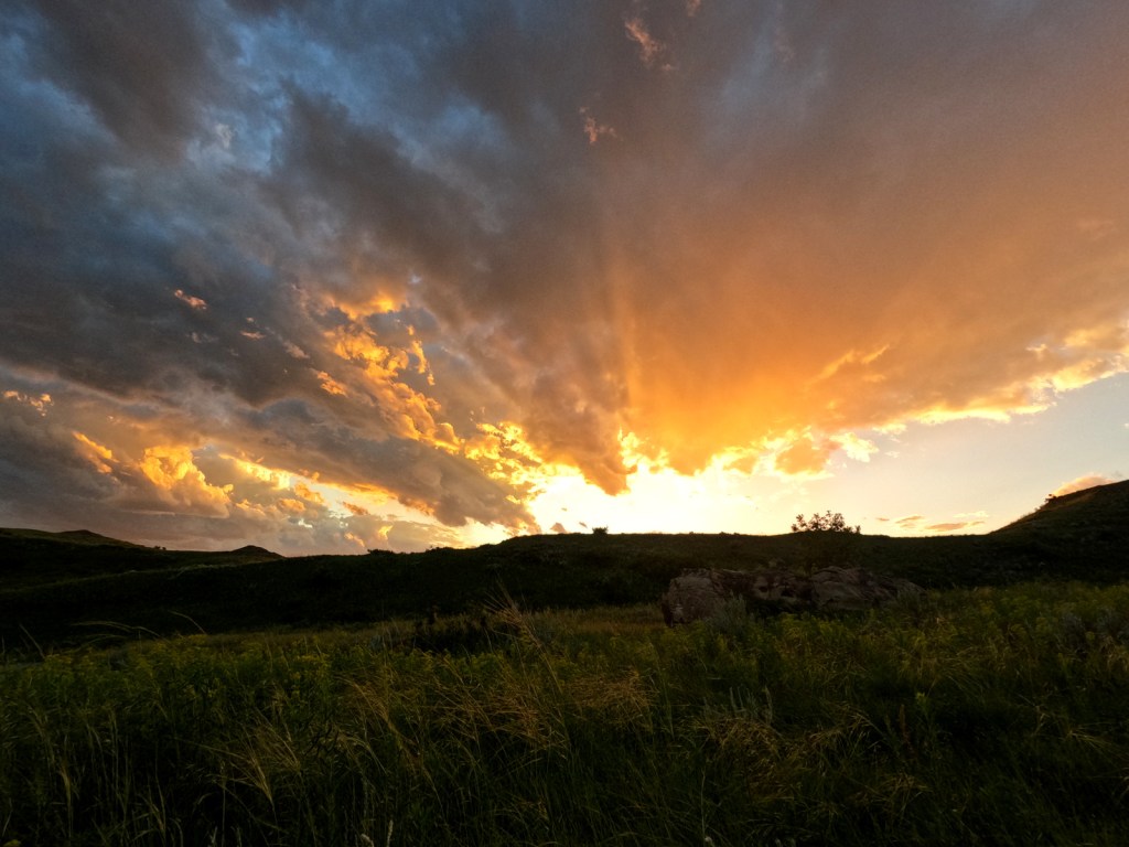
Theodore Roosevelt National Park (North Dakota)
Juniper Campground (50 sites) in the North Unit sits in a grove of mature cottonwood trees on the banks of the Little Missouri River.