Overview
In 1890, Sequoia became the second National Park in the United States in order to protect its famous groves of giant sequoia trees, not to be mistaken for California’s coast redwoods. The park’s hub in the Giant Forest contains the General Sherman tree, the largest by volume in the world. Most of the park is in the High Sierra and includes Mount Whitney, the highest point in the contiguous U.S. at 14,505 feet.

Highlights
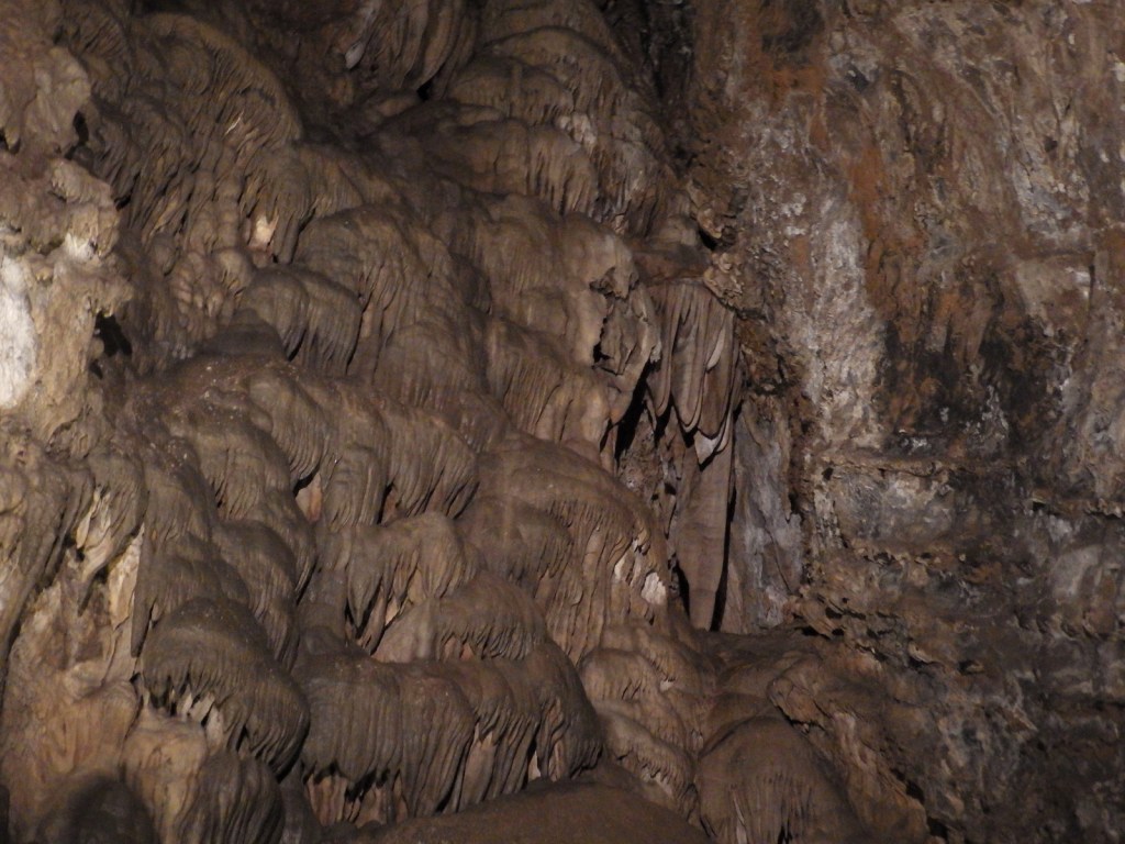
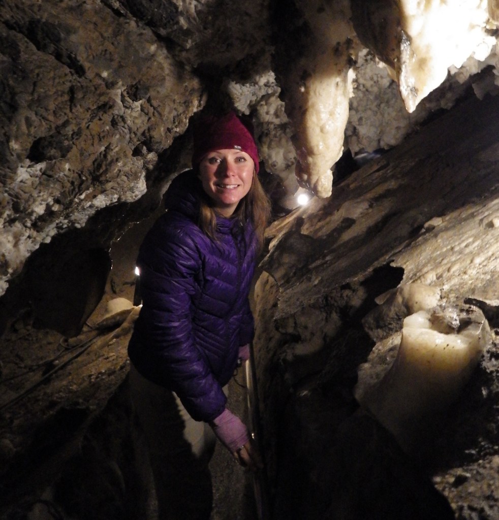
General Sherman Tree, Moro Rock, Crystal Cave, Mt. Whitney
Must-Do Activity
The remarkable giant sequoia tree can live over 2,000 years, reach three hundred feet in height, and grow the largest wood volume of any single-stemmed tree on the planet. They are only found in 75 protected groves scattered throughout California’s Sierra Nevadas. Bring your whole family to see how many people it takes arms linked to reach around the base of one of these massive trees. With circumferences reaching over 100 feet, you are going to need a big family!
Best Trail
Crescent Trail starts near the General Sherman tree, winds up the hill, and then connects with the Trail of the Sequoias, which passes the dense clusters of the Senate and House Groups. It is especially nice when there is snow on the ground.
Instagram-worthy Photo
Any time of year is great to visit, but the winter is perhaps the prettiest as the snow contrasts nicely with the orange bark of the giant sequoia trees.

Peak Season
Summer due to the high elevation
Hours
https://www.nps.gov/seki/planyourvisit/hours.htm
Fees
$35 per vehicle or America The Beautiful pass
Road Conditions
Roads are paved, but steep, winding, and narrow. The rough Mineral King Road is closed in winter.
Camping
There are several large campgrounds near the Giant Forest, as well as two on the rough road to the remote Mineral King section of the park. All backcountry camping requires a permit and is on a quota system during the summer.
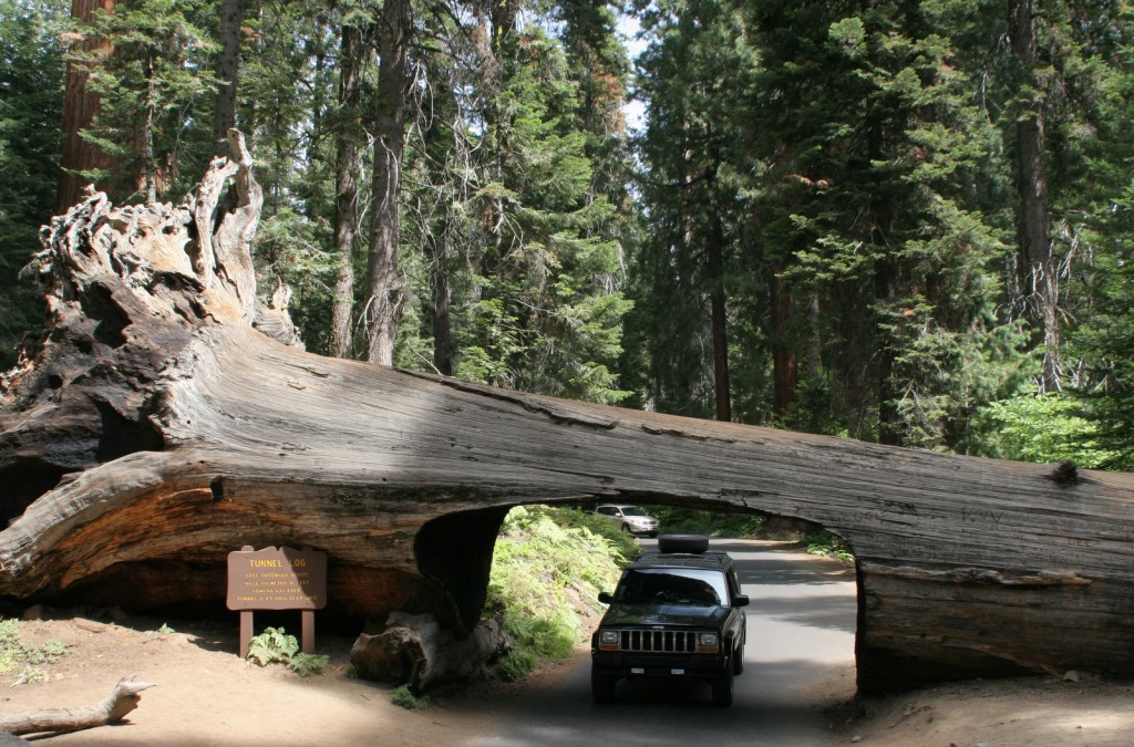
Tunnel Log 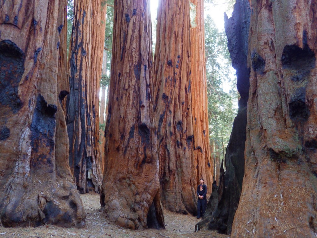
Senate Group 
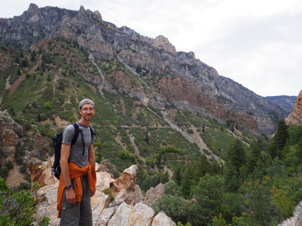
Tiff on the trail up Moro Rock 
View of the Sierra Nevada from Moro Rock 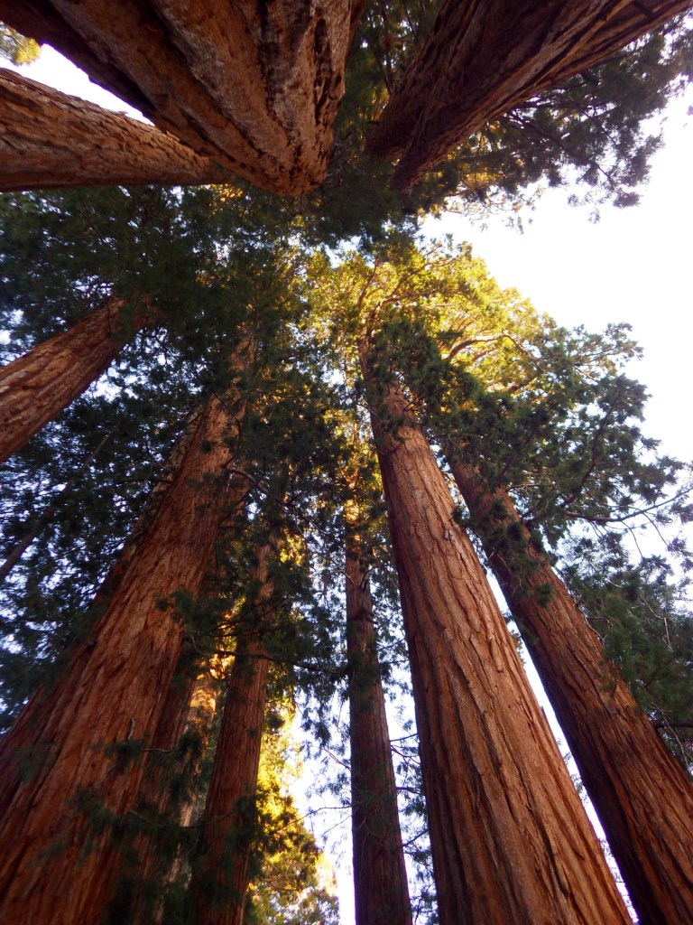
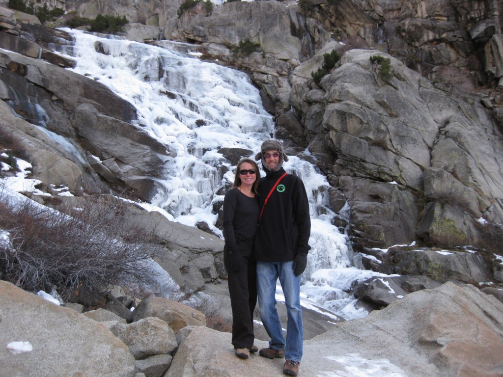
Tokopah Falls in winter 
Black bear cub 
Subalpine sunset in Mineral King 

Raven about the park
This design we created to celebrate Sequoia National Park is available on a variety of products at Cafe Press and Amazon.

Explore More – Why do park rangers recommend you wrap your car with chicken wire when you visit Mineral King?