Mark Twain National Forest
Missouri
Managed by U.S. Forest Service, Eastern Region
3,012,464 acres (1,491,840 federal/ 1,520,624 other)
Website: https://www.fs.usda.gov/r09/marktwain
Overview
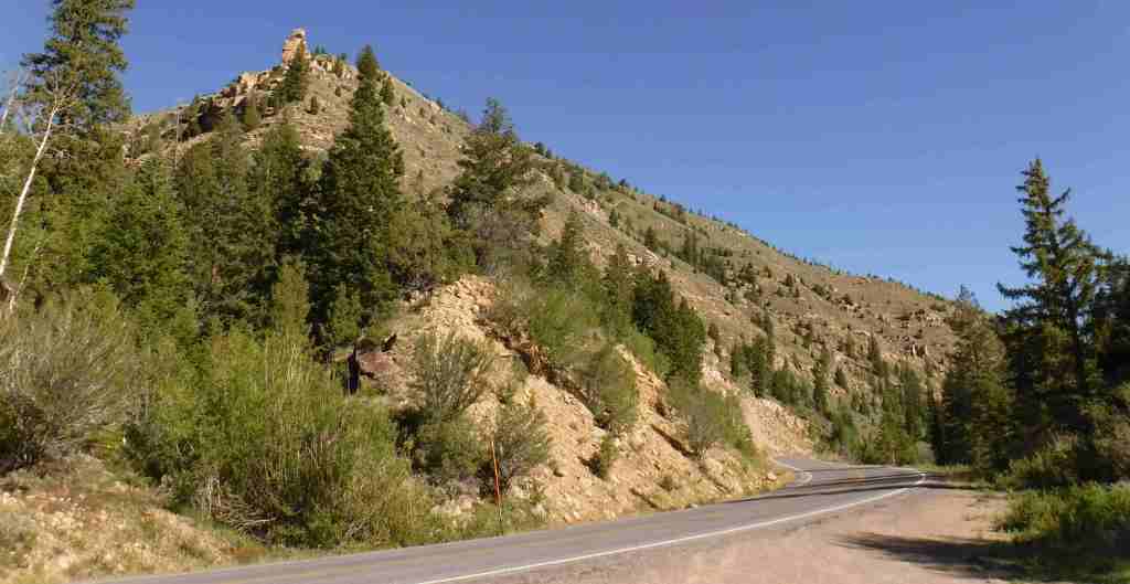
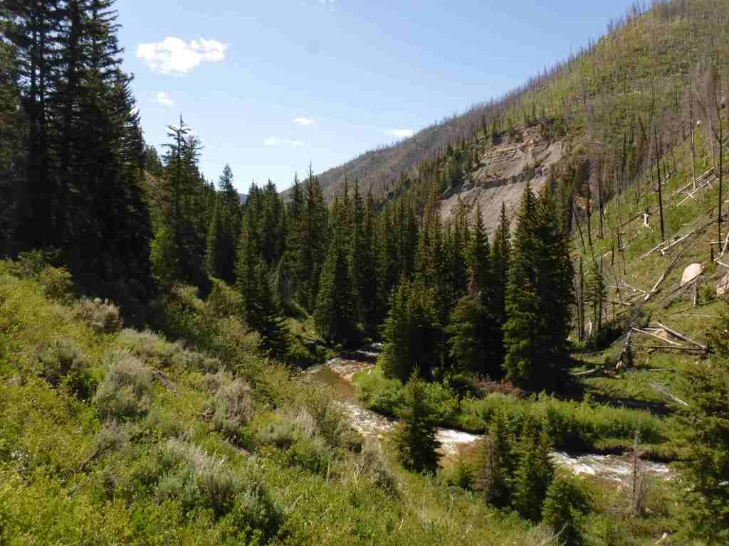
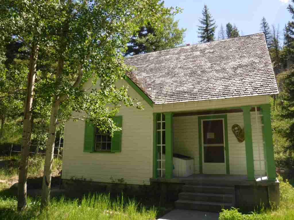
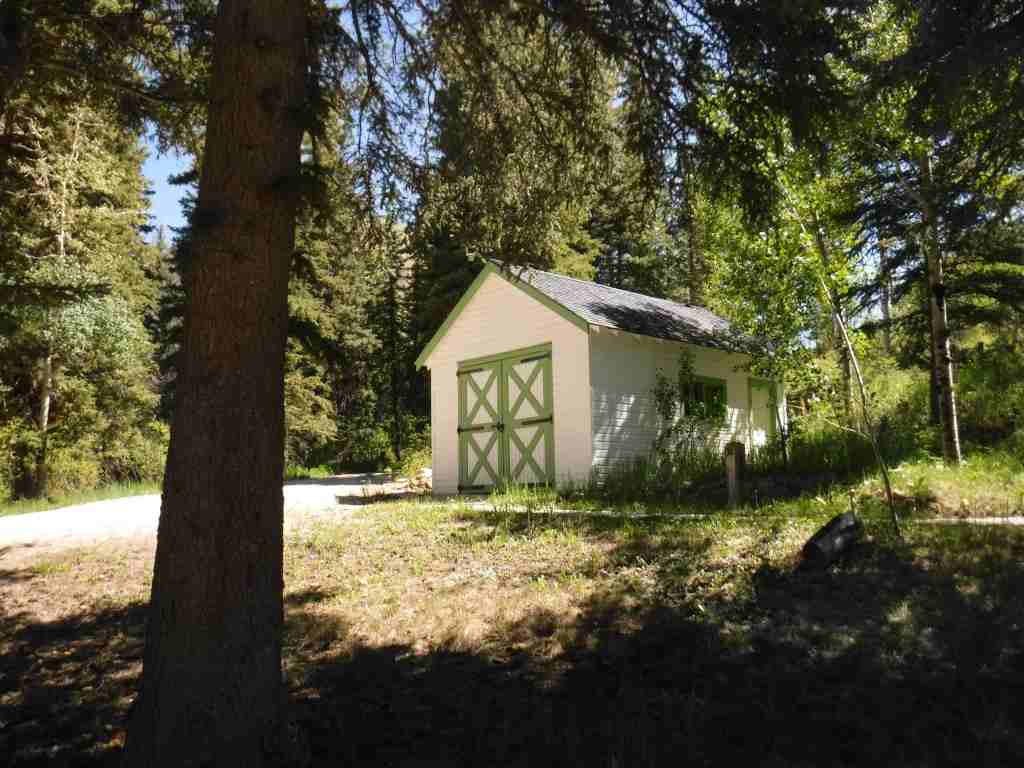
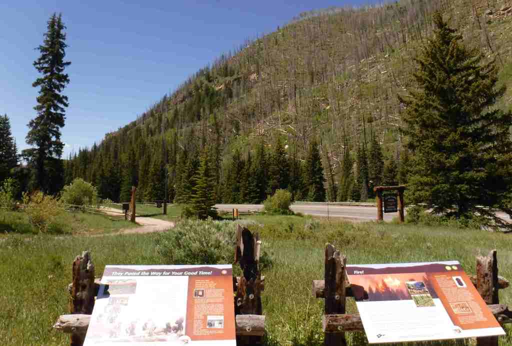
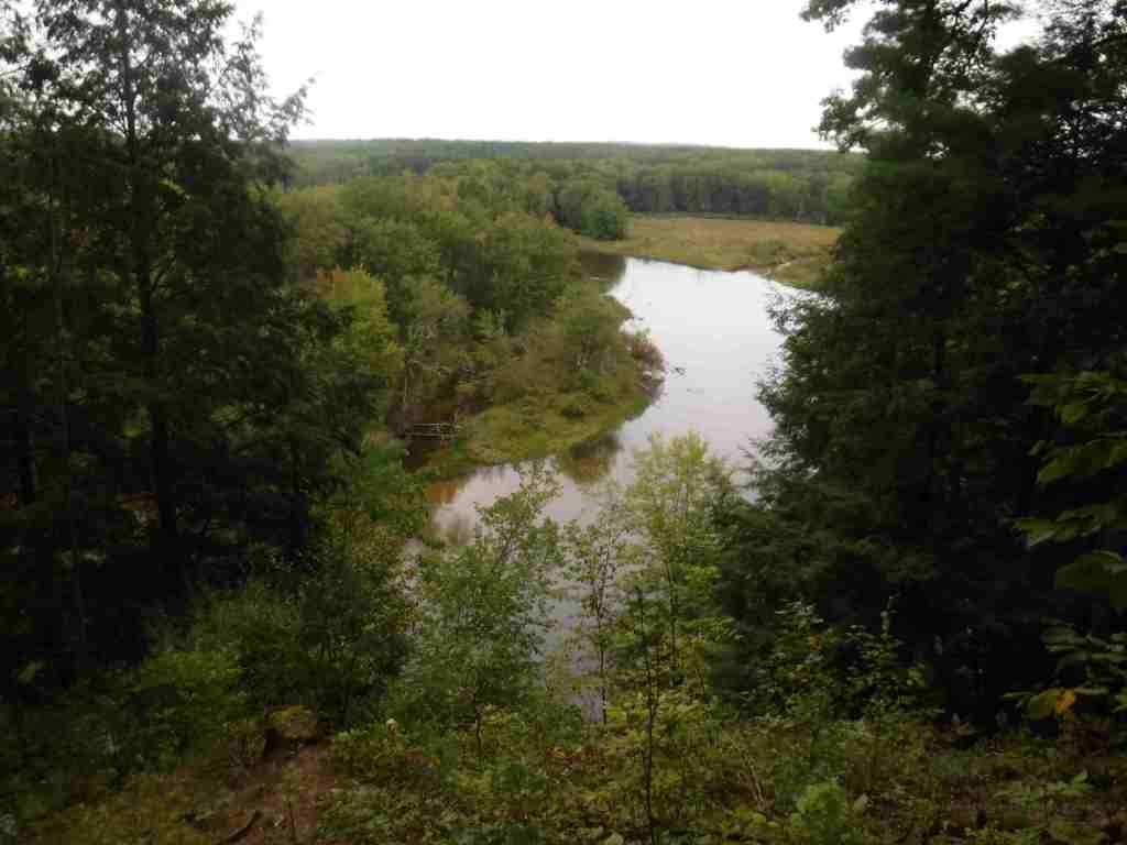
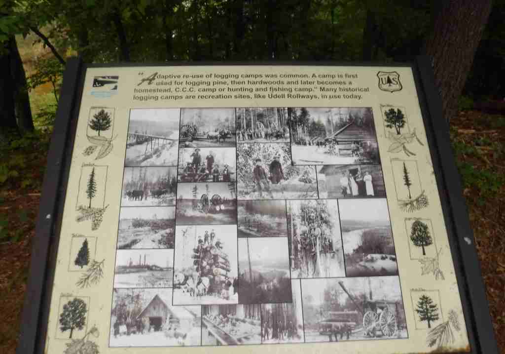
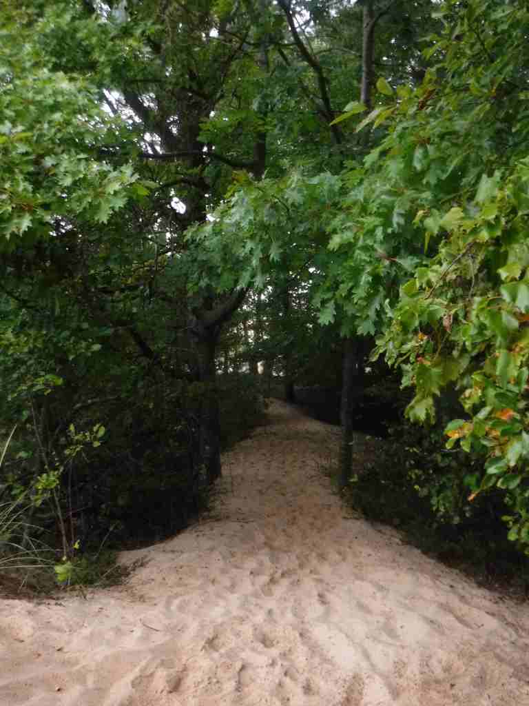
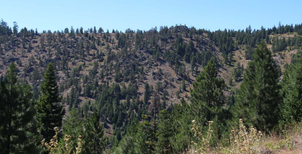
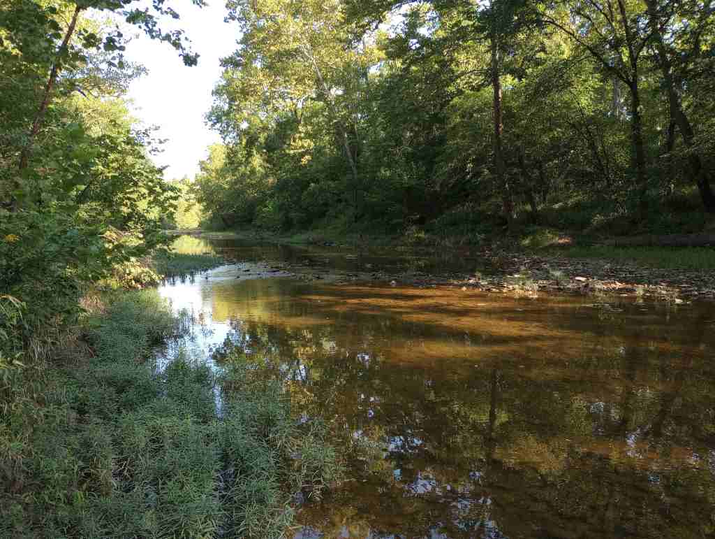
In the 1970s, the more northerly Clark National Forest in Missouri was administratively combined with Mark Twain National Forest, encompassing 11% of the state’s forests across 29 counties. Much of the forest was planted by the Civilian Conservation Corps (CCC), with their work still visible at the Rolla Ranger Station and Winona Ranger Station Historic Districts. Spread across nine separate units throughout southern Missouri’s Ozark Mountains, Mark Twain National Forest’s Karst topography is full of caves, sinkholes, streams, and springs. Greer Spring is the second largest in Missouri with a daily flow of 222-million gallons as it drains 1.25 miles into the Eleven Point National Scenic River. Greer Spring is accessible by a one-mile trail downhill from Highway 19, but no fishing or wading is allowed.
Know someone who loves the National Forests? Gift them our travel guidebook Out in the Woods so they can learn more about this and the 154 other National Forests.

Highlights
Glade Top Trail Scenic Byway, Blue Buck Knob Scenic Byway, Greer Spring, Table Rock Lake, Council Bluff Recreation Area, Overcup Oak Sink, Silver Mine Recreation Area, Bellevue Trail, Cedar Creek Trail, Devil’s Backbone Trail, Ridge Runner National Recreation Trail, Big Piney Trail, Ozark Trail
Must-Do Activity
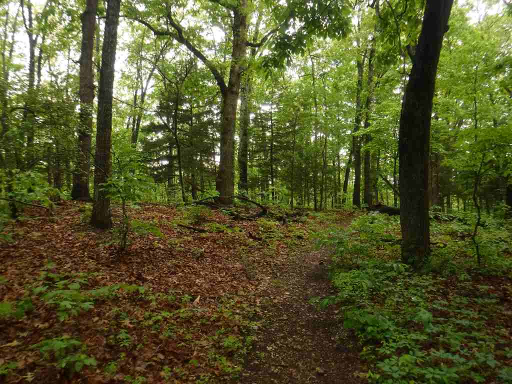
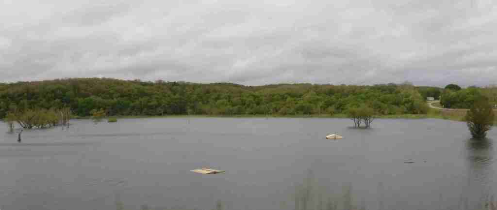
Most trails in Mark Twain National Forest are open to hikers, mountain bikers, and equestrians, including Ridge Runner National Recreation Trail that totals 33 miles. Two areas at Chadwick and Sutton Bluff are designated for ATV, UTV, and motorcycle use. Fishing is a popular activity on the Eleven Point National Scenic River and numerous lakes, like Noblett Lake and Table Rock Lake. There are so many recreation areas spread around this massive National Forest, it is impossible to cover them all here. We recommend you start with one of the spots listed under Highlights above.
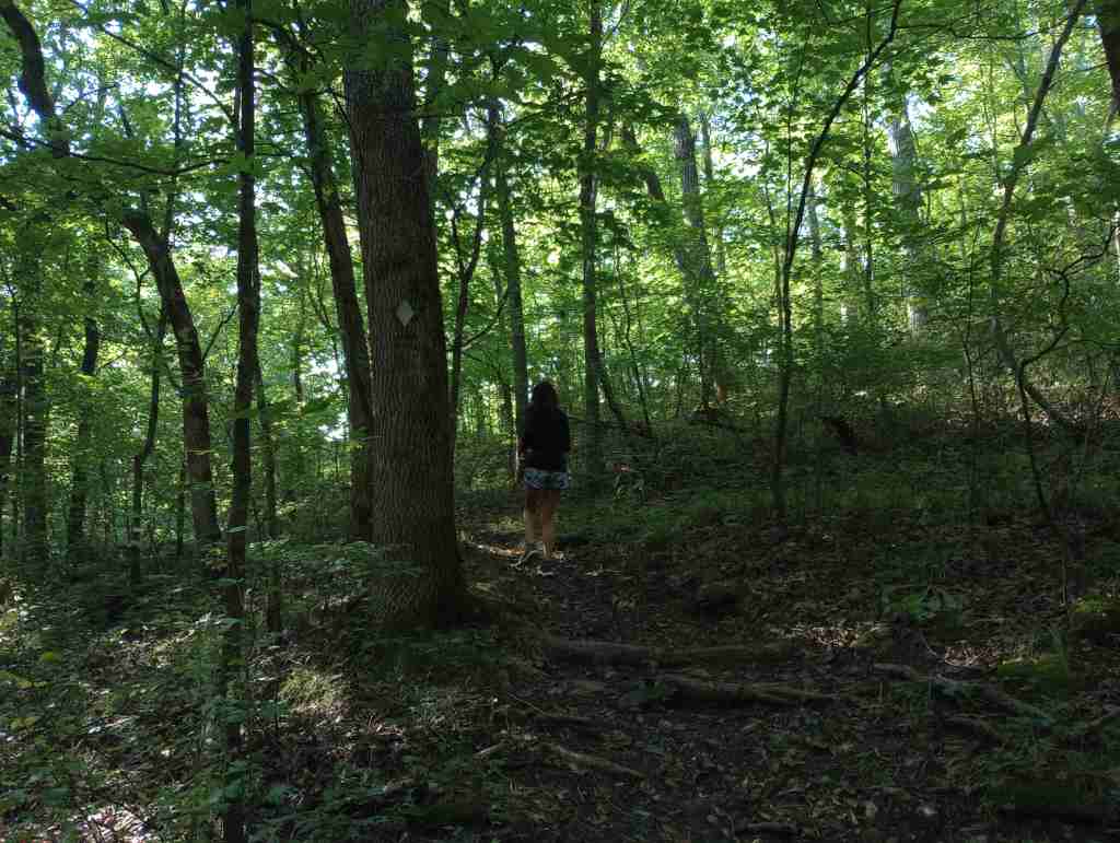
Best Trail
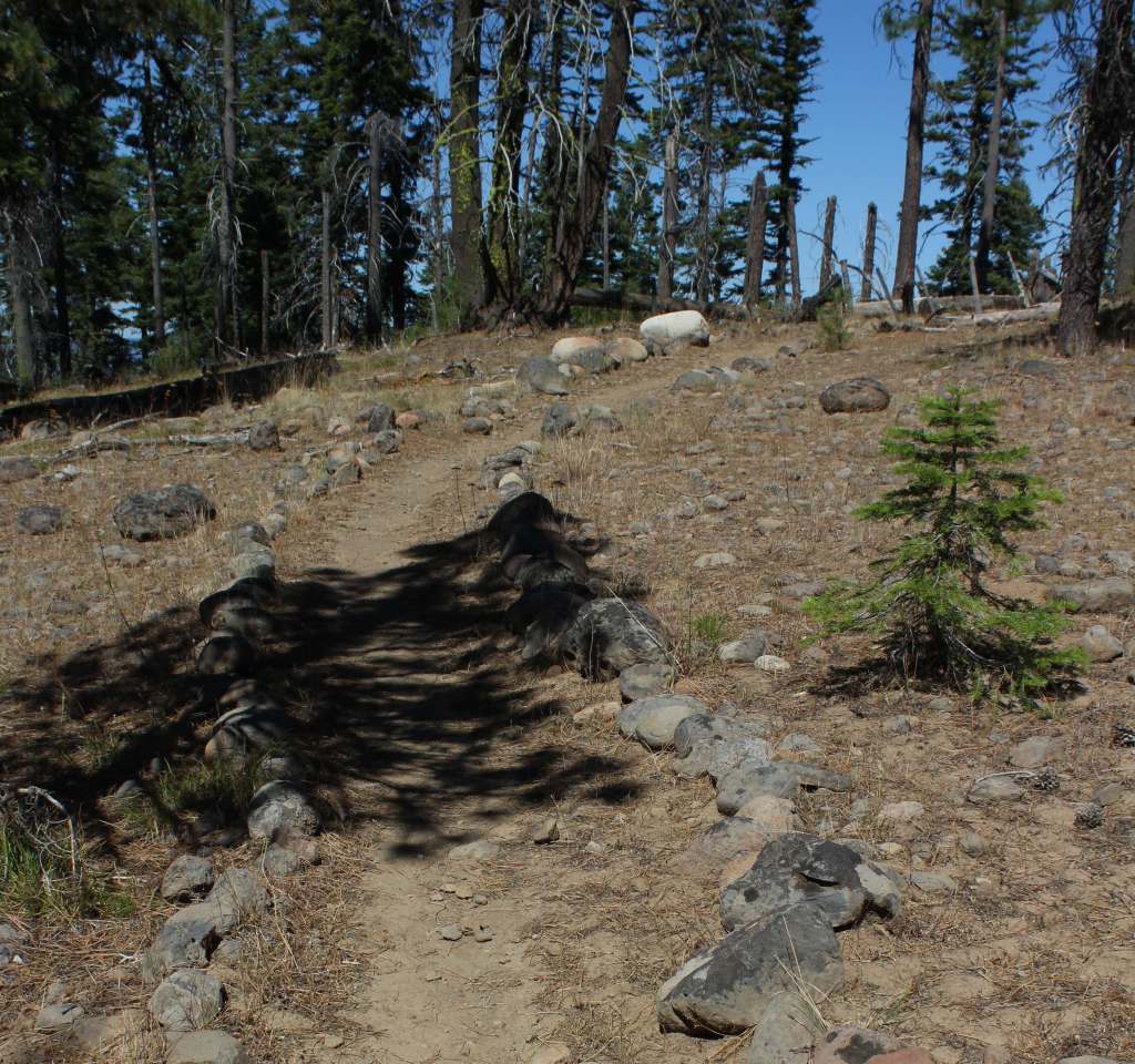
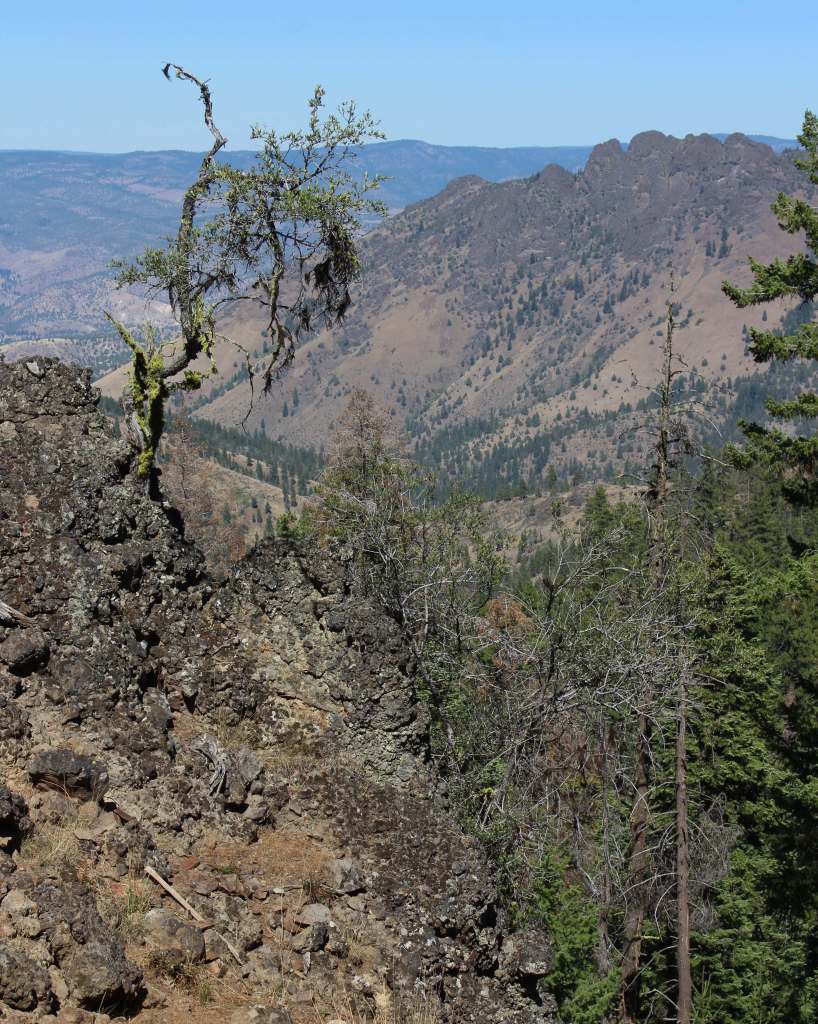
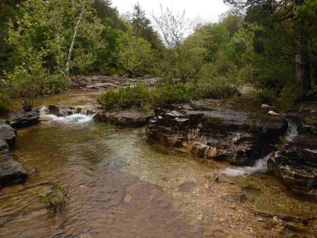
Mark Twain National Forest has several long trails that explore its 78,000 acres of Wilderness areas, including sections of the 350-mile Ozark Trail. Northeast of Branson, Hercules-Glades Wilderness protects 12,413 acres of forested hillsides, limestone outcroppings, and glades of native grasses. There are three trailheads on the edge of the Wilderness, but we chose Blair Ridge because of its paved access 5.3 miles off Highway 160. From a small roadside parking area, the trail follows a ridgeline for 1.2 miles to some excellent backpacking campsites that overlook the countryside before it drops 600 feet in the next mile. At that point the trail intersects with Coy Bald Trail, which can be taken a short distance to a small scenic waterfall on Long Creek.
Watchable Wildlife
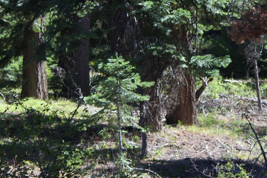
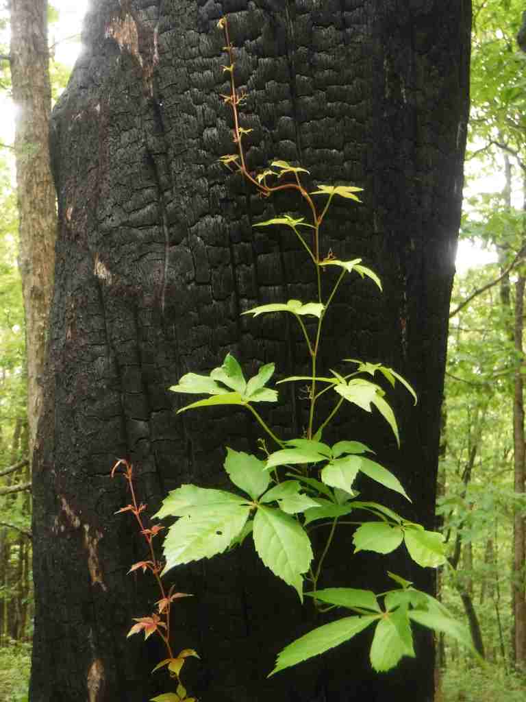
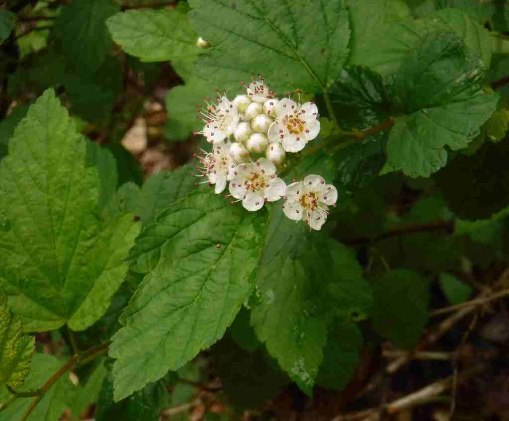
The Ozark Mountains provide habitat for common eastern species like white-tailed deer, wild turkeys, gray squirrels, cottontail rabbits, red foxes, and raccoons. You may also encounter venomous copperheads, timber rattlesnakes, and pygmy rattlesnakes. The oak savannahs are home to several endemic plants, as well as prickly pear cacti and animals more associated with the Southwest U.S., like roadrunners, collared lizards, scorpions, and tarantulas. Gamefish include smallmouth bass, largemouth bass, rock bass, walleye, and rainbow trout.
Photographic Opportunity
Between Jefferson City and Columbia, Pine Ridge Recreation Area accesses Cedar Creek Trail, which has multiple trailheads and four loops totaling 36 miles.

Peak Season
Spring and fall
Fees
There are day use fees at several sites, including $5 at Noblett Lake and $2 at Blue Hole Trailhead and North Fork Recreation Area
Road Conditions
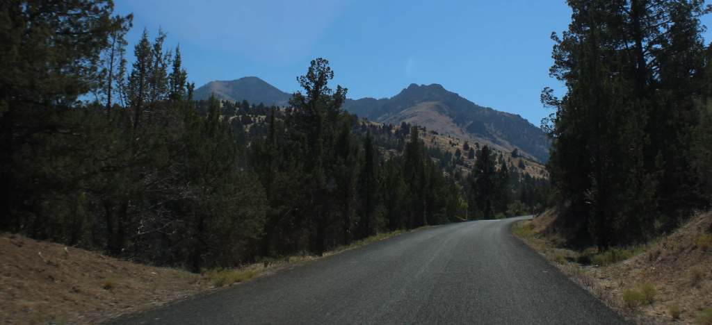
Many of the curvy back roads in Mark Twain National Forest are paved, such as Blair Ridge that led to a trailhead 5.3 miles off Highway 160. There are likely some rough unpaved roads in the Ozarks, so check road conditions before departing.
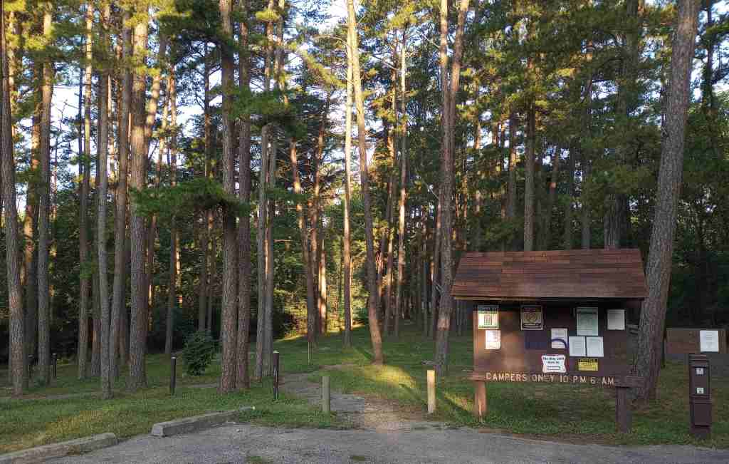
Camping
There are numerous campgrounds in Mark Twain National Forest, although it can be harder to find good dispersed campsites due to the proximity to private land. In the northernmost area outside Columbia, we paid to camp in the quiet Pine Ridge Recreation Area. On the edge of the Hercules-Glades Wilderness at the Hercules Tower (with restrooms) and Coy Bald Trailheads, there are a handful of car camping sites for free.
Wilderness Areas
Bell Mountain Wilderness
Devils Backbone Wilderness
Hercules-Glades Wilderness
Irish Wilderness
Paddy Creek Wilderness
Piney Creek Wilderness
Rockpile Mountain Wilderness
Related Sites
Ozark National Scenic Riverways (Missouri)
George Washington Carver National Monument (Missouri)
Ozark National Forest (Arkansas)
Nearest National Park


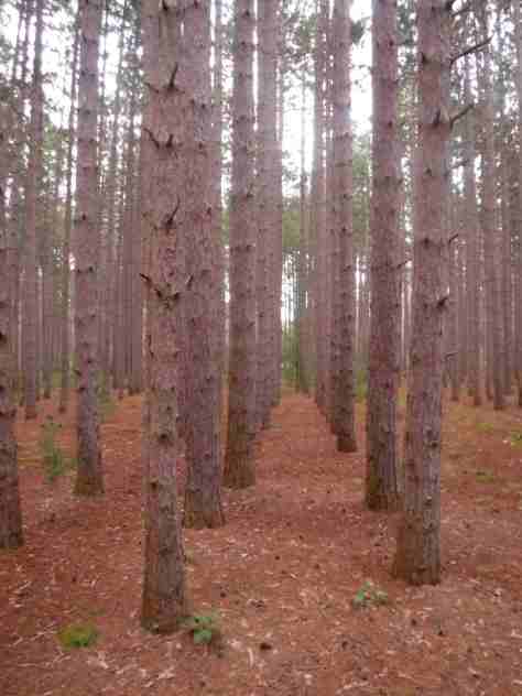
shortleaf pine, eastern redcedar
sweetgum, water tupelo, sugar maple, red maple, boxelder, honeylocust, Ohio buckeye, red buckeye, black cherry, sassafras, persimmon, Kentucky coffee tree, black gum, blackjack oak, Nuttall oak, overcup oak, white oak, black oak, scarlet oak, post oak, black hickory, shagbark hickory, mockernut hickory, bitternut hickory, brookside alder
Explore More – Mark Twain National Forest’s Greer Spring is the second largest natural spring in Missouri, so which one is in first place?

Know someone who loves the National Forests? Gift them our travel guidebook Out in the Woods so they can learn more about this and the 154 other National Forests.