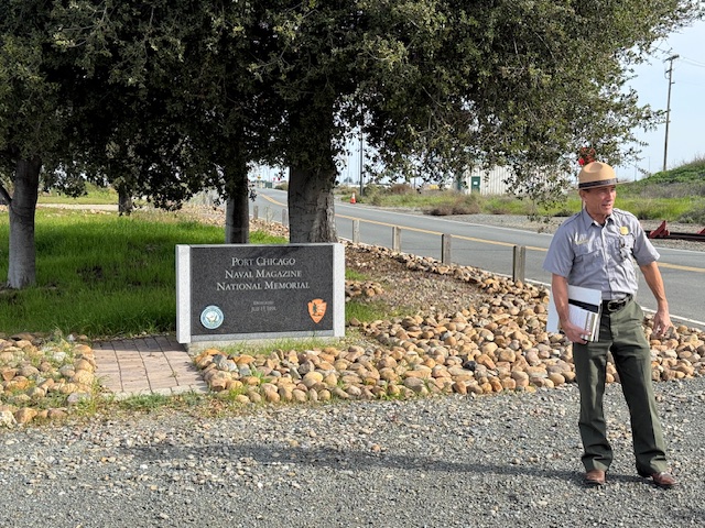
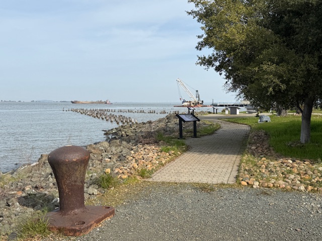
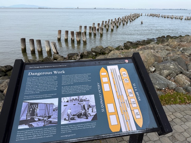
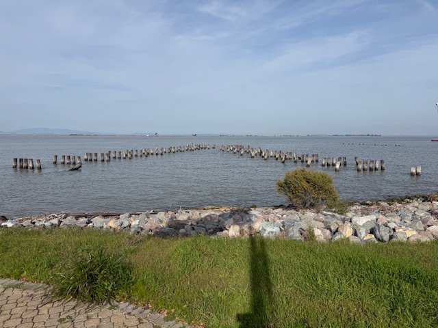
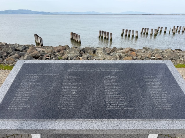
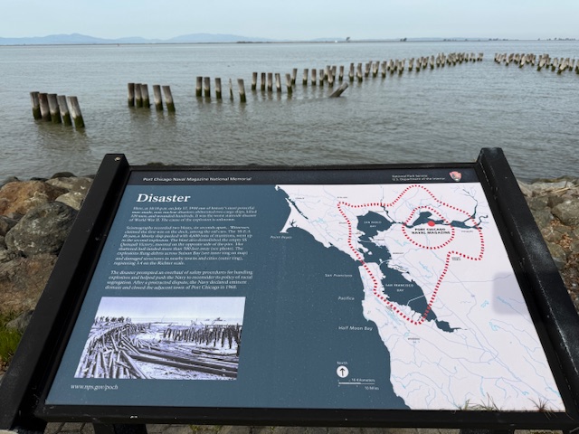
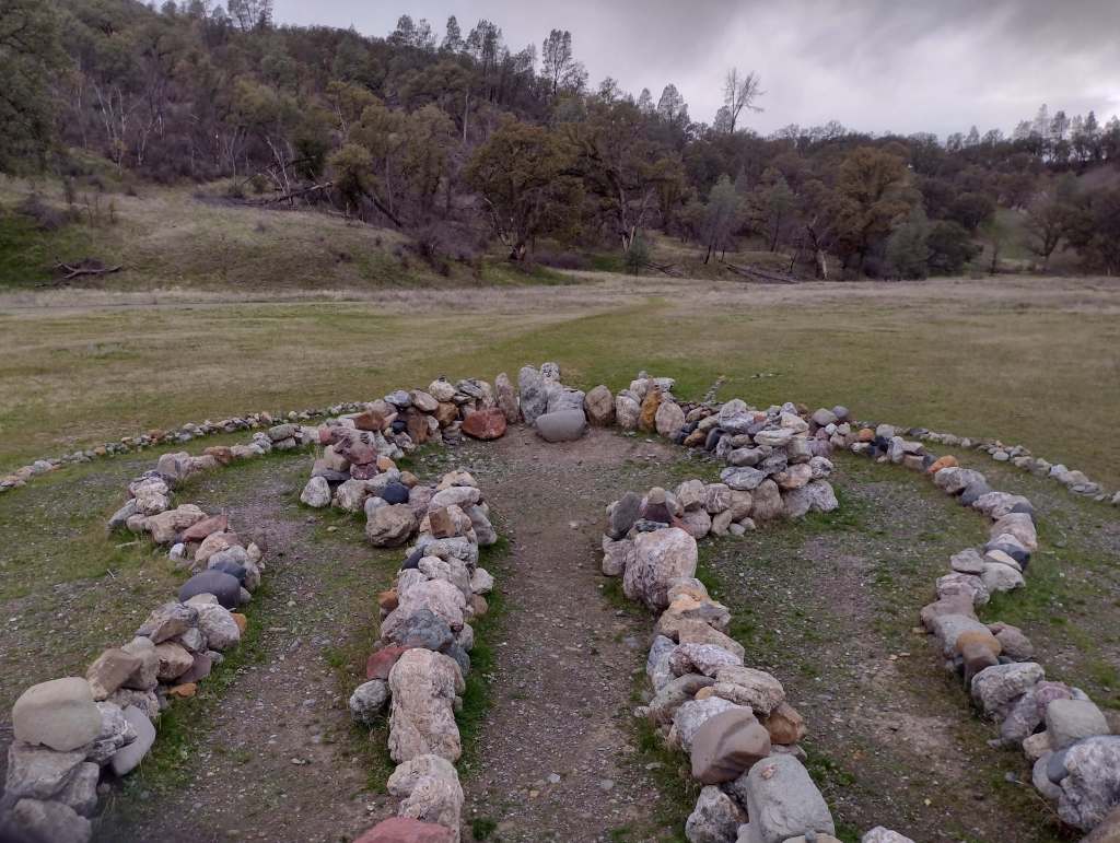
On July 17, 1944 at 10:18 p.m., a massive explosion at a U.S. Navy facility rocked the San Francisco Bay area. The blast started at a pier where munitions were being loaded onto two ships and killed 320 men. The majority of the dead were African American sailors who were segregated at the time and not allowed to serve in combat roles or as officers. After refusing to return to unsafe working conditions, 206 sailors were convicted after a summary courts-martial, and the “Port Chicago 50” were sentenced to 15 years imprisonment for mutiny. After receiving negative publicity, the Navy actually became the first of the military branches to integrate during World War II, well before President Truman required it in 1948. On January 6, 1946, the Navy released 47 of the 50 men being held and in 2024, the Navy posthumously exonerated all 256 men and vacated any remaining dishonorable discharges.
Highlights
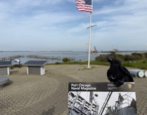
Memorial, film, revetment
Must-Do Activity
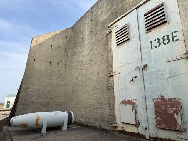
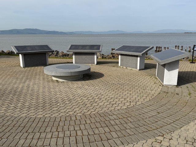
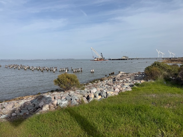
The memorial is located on an active military base called Military Ocean Terminal Concord on Suisun Bay. Therefore, all visitors are required to be U.S. Citizens and must make a reservation at least two weeks before their visit by calling or emailing the National Park Service (NPS) to receive a background check. Tours are given only on Thursdays, Fridays, or Saturdays and meet at John Muir National Historic Site (where you can watch a short film) in Martinez where the group boards government vehicles to drive to the site. After a thorough search of the vehicle and each visitor getting checked off a list, it is a short drive to the memorial where the NPS ranger explains the history of the site at two locations with time to walk around and take photos (but only of the memorial area).
Best Trail
None
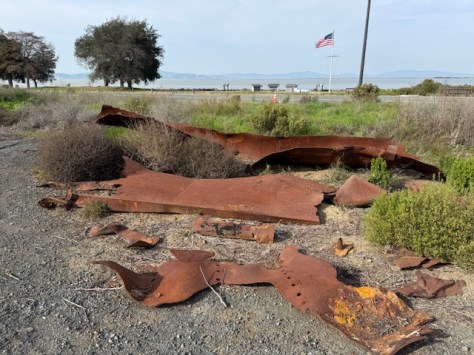
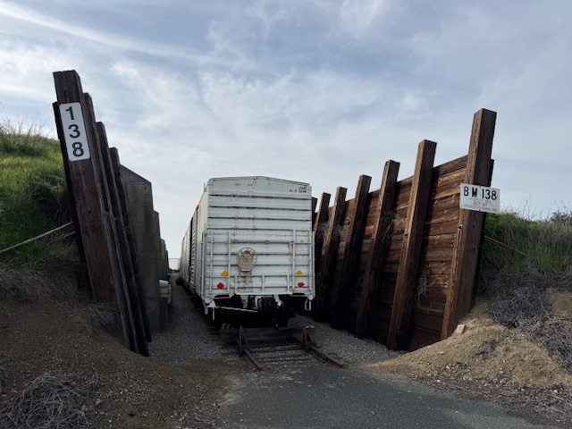
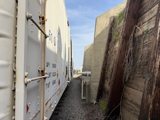
Photographic Opportunity
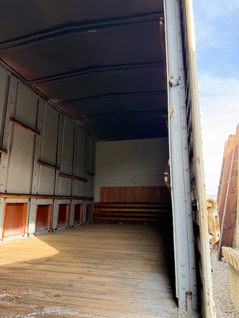
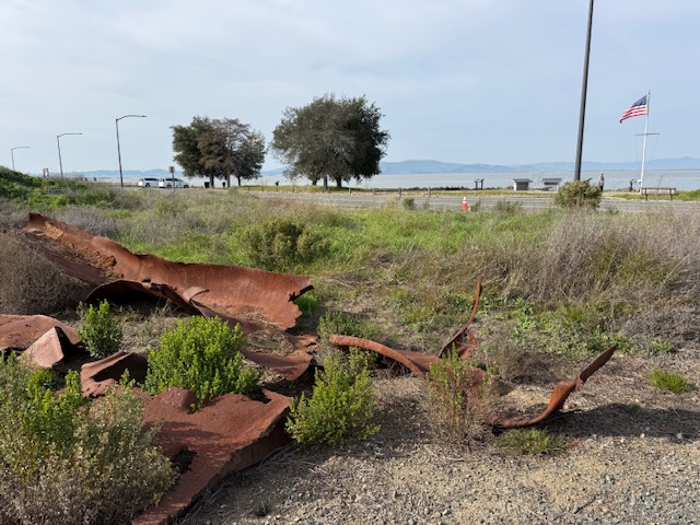
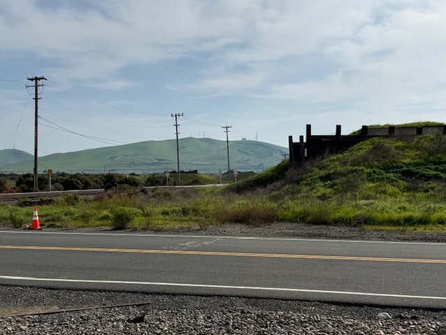
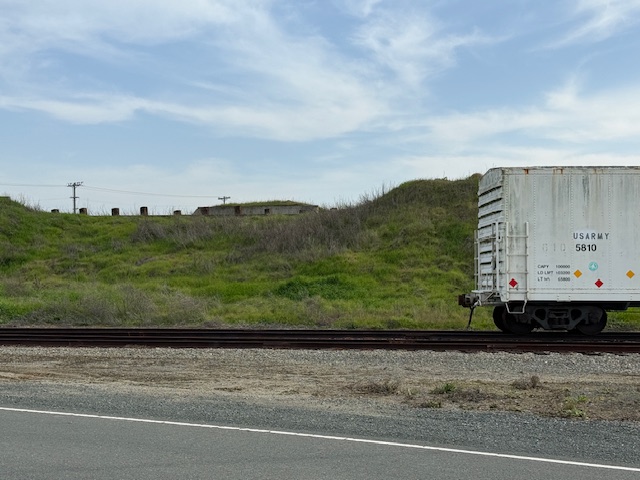
Shrapnel from the 1944 blast is located at the first stop on the guided tour where historic train cars are parked in a revetment.
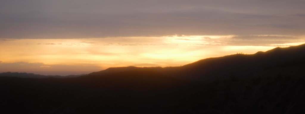
Peak Season
Summer
Hours
Tours are available only on Thursdays, Fridays, or Saturdays when the base is not closed to civilians.
Explore More – What future Supreme Court Justice observed the courts-martial and has a regional park named in his honor near Port Chicago Naval Magazine National Memorial?
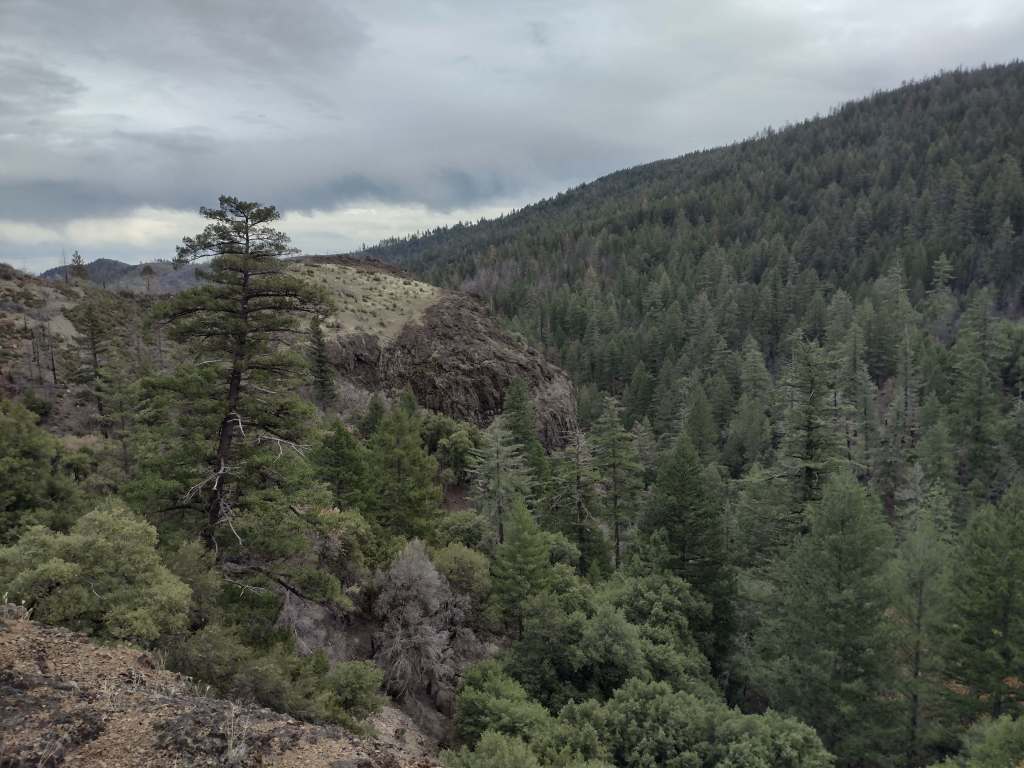
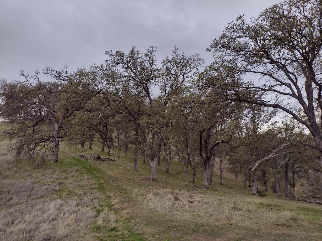
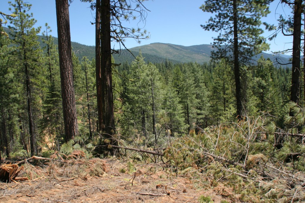
Originally called California National Forest in 1908, this area between Interstate 5 and Highway 101 was renamed Mendocino National Forest 24 years later. It stretches north-south along the Coast Range covering parts of six counties north of San Francisco. Similar to Los Padres National Forest, it contains rocky serpentine ridgelines where only specially adapted plants can tolerate the heavy metals in the soil, like Sargent cypress and the shorter McNab cypress. Both species can be found along Frenzel Creek near Little Stoney Campground. In 1953, a Forest Service employee and 14 volunteer firefighters died in the Rattlesnake Fire and a memorial overlooking Rattlesnake Canyon is located off Forest Highway 7 on Alder Springs Road. Mendocino National Forest includes the northern portion of Berryessa Snow Mountain National Monument (see our full blog post), established in 2015 and administered in cooperation with the Bureau of Land Management.
Know someone who loves the National Forests? Gift them our travel guidebook Out in the Woods so they can learn more about all 155 National Forests.
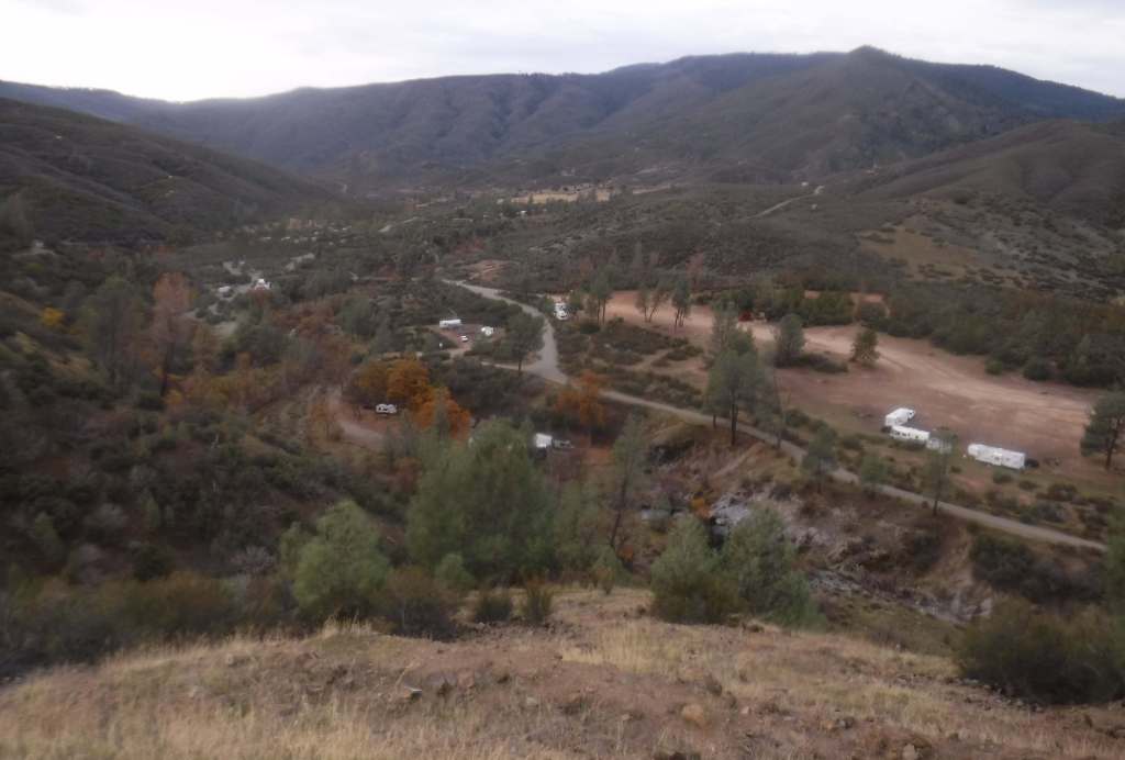
There are 18 National Forests in California (the most of any state), but Mendocino is the only one not crossed by a paved highway. It is a wonderful destination for outdoor recreation, both motorized and non-motorized, including Hull Mountain which is popular with hang gliders. Lake Pillsbury is 2,280 acres and offers boat ramps, campgrounds, and a resort, while 35-acre Letts Lake has a campground and access to hiking trails.
Best Trail
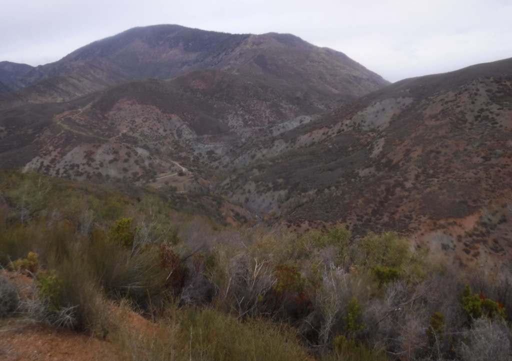
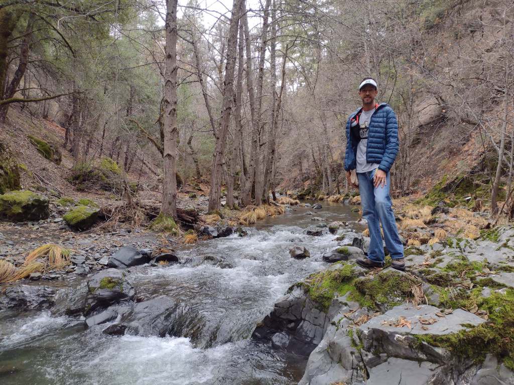
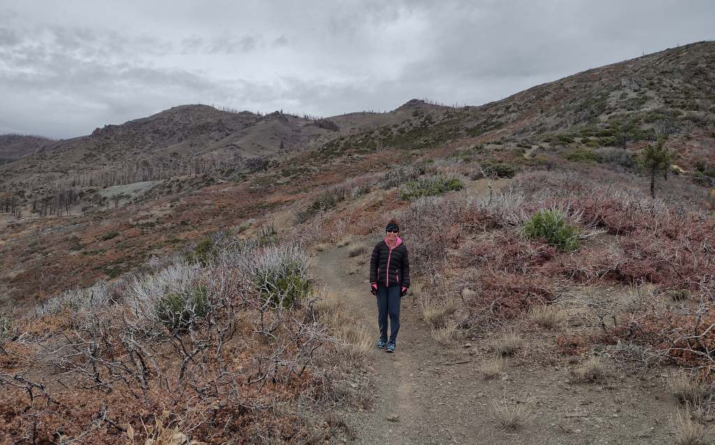
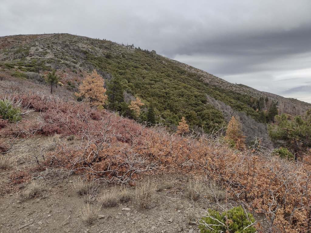
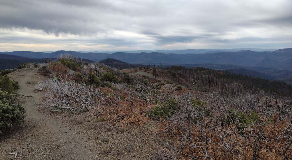
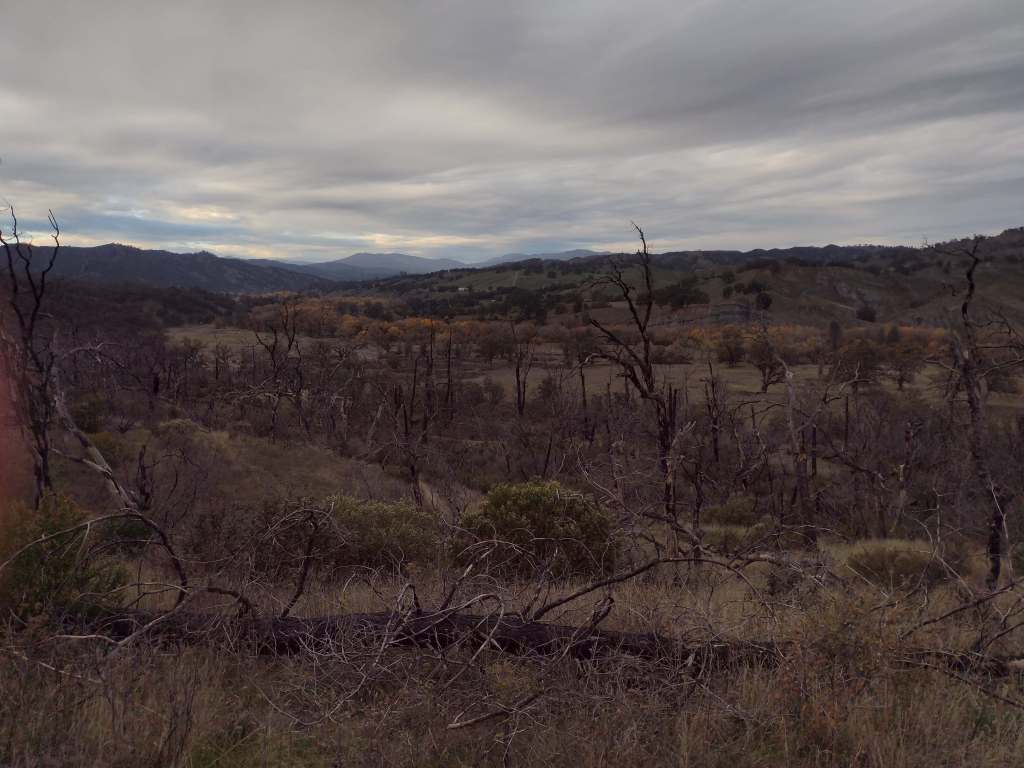
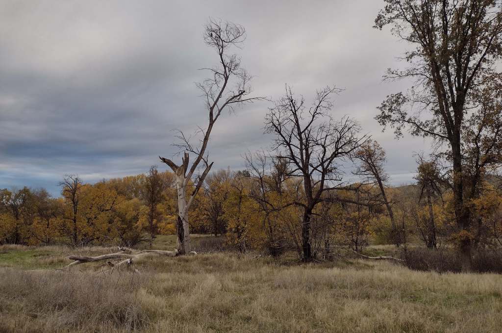
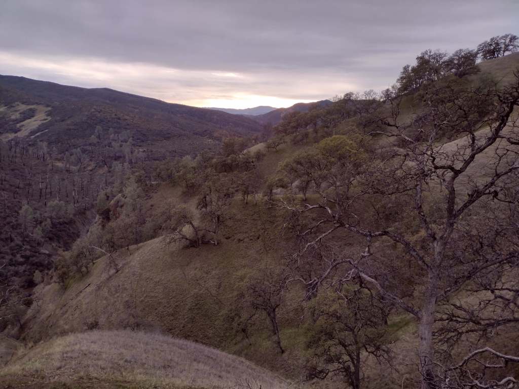
As we drove the winding road from Stonyford to the tiny roadside pullout for Deafy Glade Trail, we passed campgrounds full of RVs that were getting ready for a motorcycle event. Our hike took us far from any road noise, as we dropped down to and waded across the frigid South Fork of Stony Creek and then climbed steeply to 5,300 feet in elevation. The trail continued to the summit of 7,056-foot Snow Mountain, but we already had great views of the Rice Valley and decided to turn around at the 4.5-mile point, just inside the official boundary of the Snow Mountain Wilderness. We expected a desolate landscape after reading about recent fires, but about three-quarters of the trees along the trail were still alive and showed only minor charring at their bases.
Watchable Wildlife
Mendocino National Forest protects a biodiverse area home to tule elk, black-tailed deer, river otters, black bears, and mountain lions. Rivers that drain these highlands are used by California coastal chinook salmon and Northern California steelhead. Fishing in the lakes is a popular activity and a chance to see ospreys and bald eagles.
Photographic Opportunity
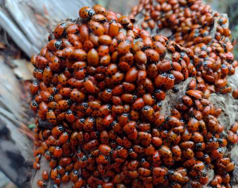
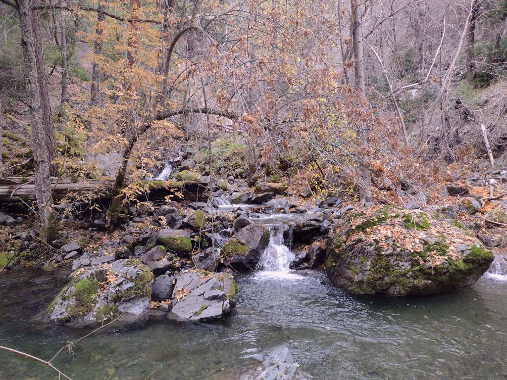
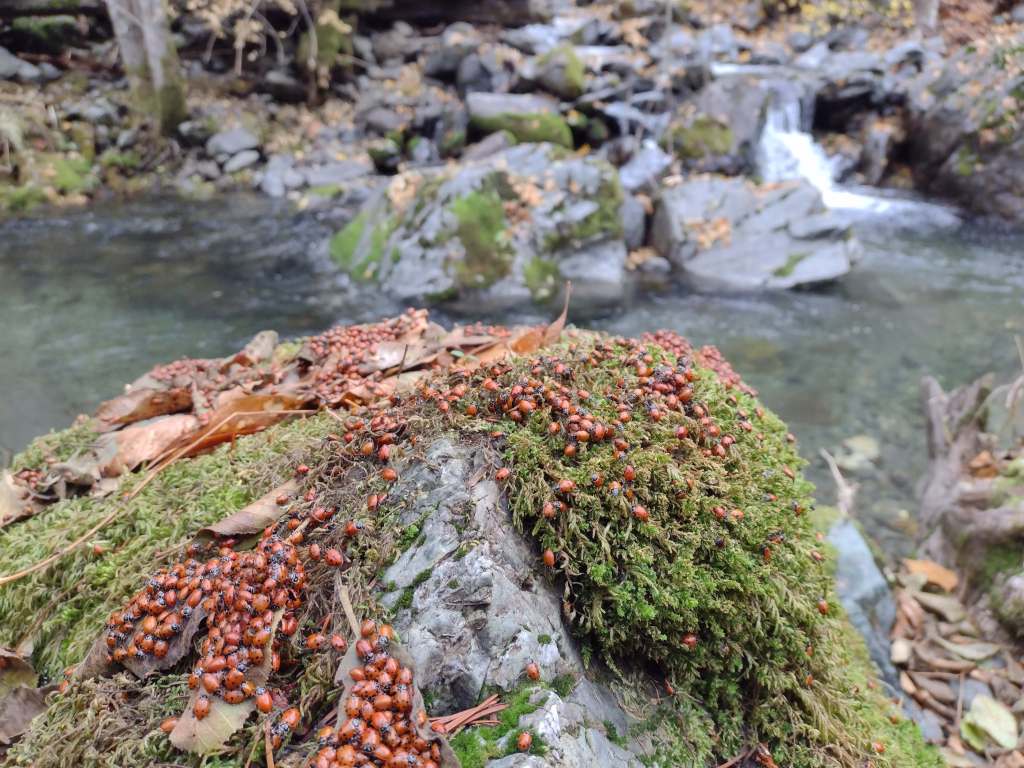
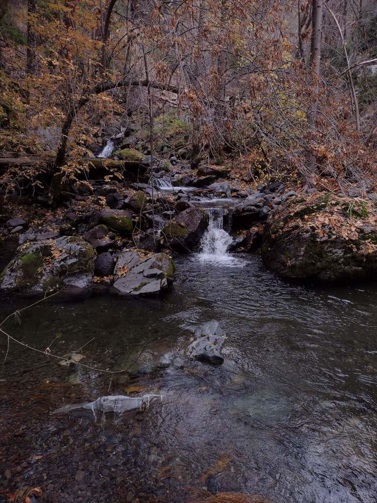
On Deafy Glade Trail, there were congregations of lady bugs that numbered in the hundreds along the South Fork of Stony Creek.
Peak Season
Summer
Fees
None
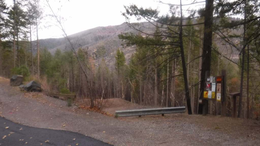
Road Conditions
Fouts Springs Road (Forest Road M10) is a well-maintained gravel road that crosses the National Forest west of Stonyford. That area is popular with motorcycles and OHVs, so keep an eye out for them while driving.
Camping
Mendocino National Forest manages Bear Creek Campground and Lower Nye Dispersed Campground among many others, plus there are countless places for dispersed camping.
Wilderness Areas
Sanhedrin Wilderness
Snow Mountain Wilderness
Yolla Bolly-Middle Eel Wilderness (also in Six Rivers and Trinity National Forests)
Yuki Wilderness (also run by the Bureau of Land Management)
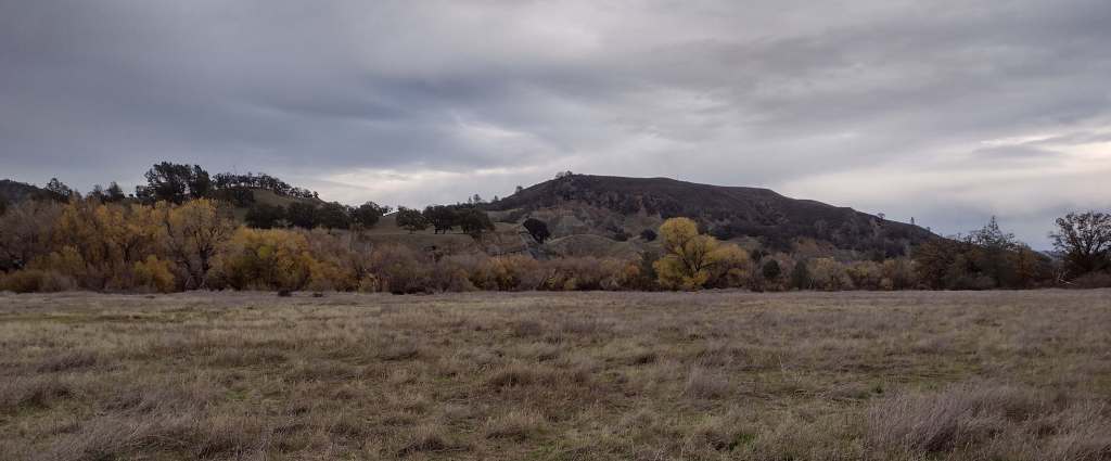
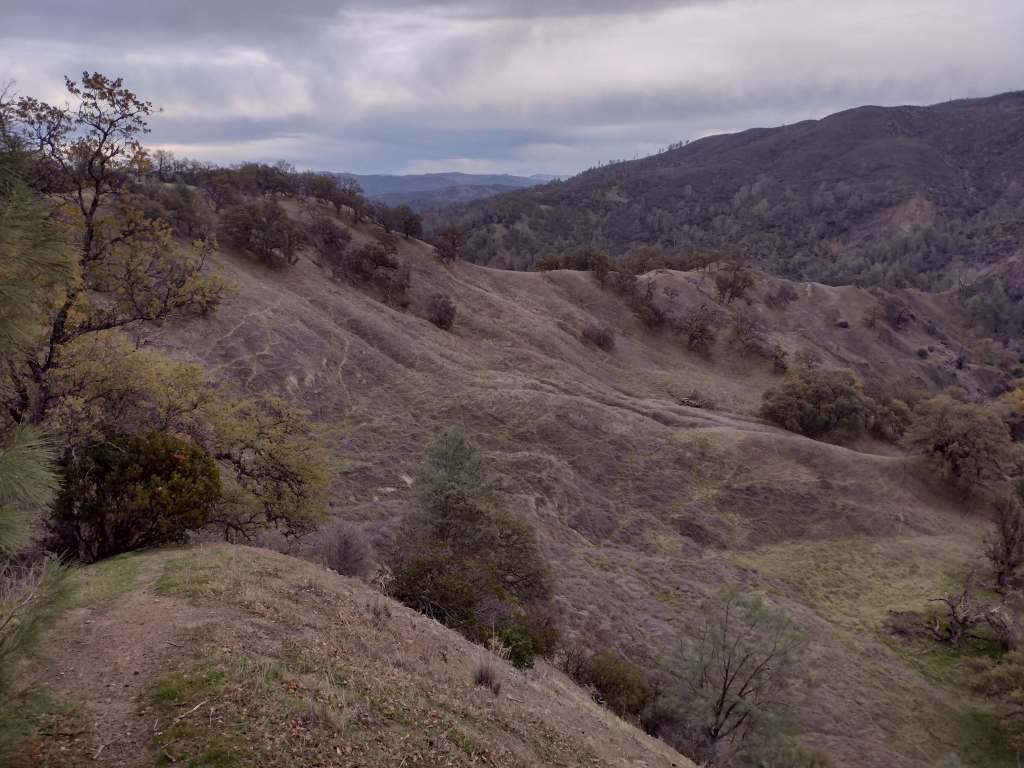
North of the San Francisco Bay and west of Interstate 5, flat-topped 7,056-foot Snow Mountain sheds water into the Berryessa Valley and the Sacramento River. High elevations are dominated by conifers, while below there are oak-studded hillsides, canyons full of riparian trees, and rocky serpentine ridgelines where only specially adapted plants can tolerate the heavy metals in the soil. In 2024, the 13,696-acre Molok Luyuk (“Condor Ridge” in the Patwin language) was added to the National Monument since it contains evidence of human occupation dating back more than 10,000 years.
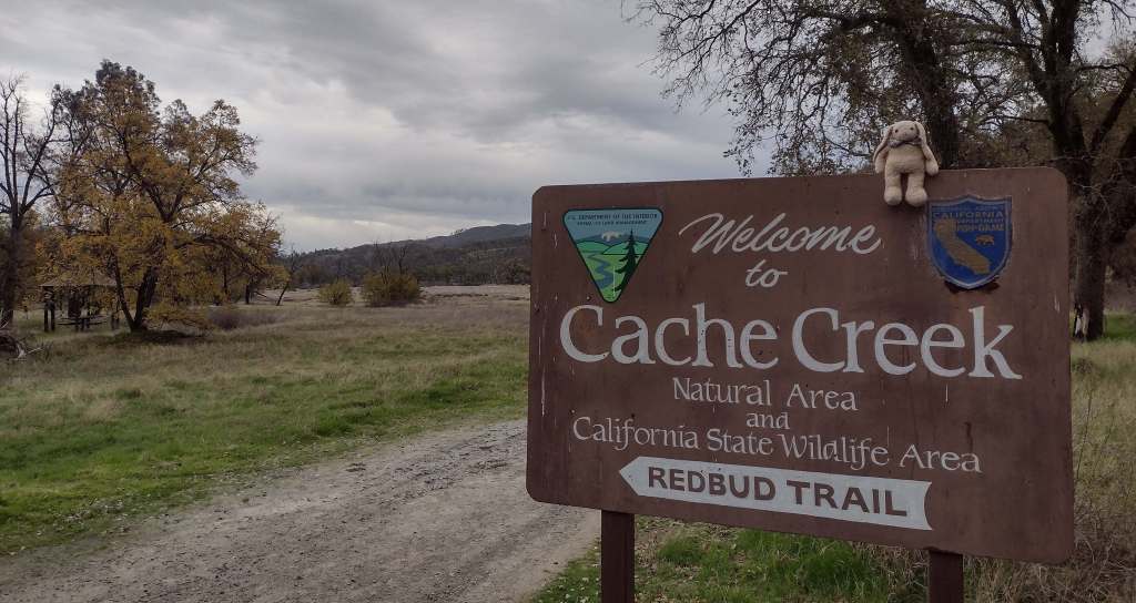
Cache Creek Wilderness, Knoxville Recreation Area, Nye Cabin, Prather Mill, Deafy Glade Trail, Redbud Trail
Must-Do Activity
In the portion of the National Monument run by the Bureau of Land Management, Cache Creek Wilderness is one of the main attractions for whitewater rafting and backpacking. Redbud and Judge Davis Trailheads off paved Highway 20 provide the easiest access for hikers. Further south, Knoxville Recreation Area encompasses rugged terrain for exploration with off-highway vehicles (OHVs). The northern portion of Berryessa Snow Mountain National Monument within Mendocino National Forest has a network of dirt roads that are also popular with OHV riders. In the far north, Hull Mountain is utilized by hang gliders.
Best Trail
In Mendocino National Forest, Deafy Glade Trail starts at a tiny roadside pullout along Fouts Springs Road where campgrounds were full of RVs getting ready for a motorcycle event. Our hike took us far from any road noise, past congregations of lady bugs that numbered in the hundreds as we waded across the frigid South Fork of Stony Creek and climbed steeply to the boundary of the 60,076-acre Snow Mountain Wilderness. The trail continues to climb 4,300 feet total to the summit over the course of eight miles. It is half that length with only 2,000 feet of elevation gain from the west via Summit Trail, although the last 1.5 miles of the access road may be impassable to vehicles.
Photographic Opportunity
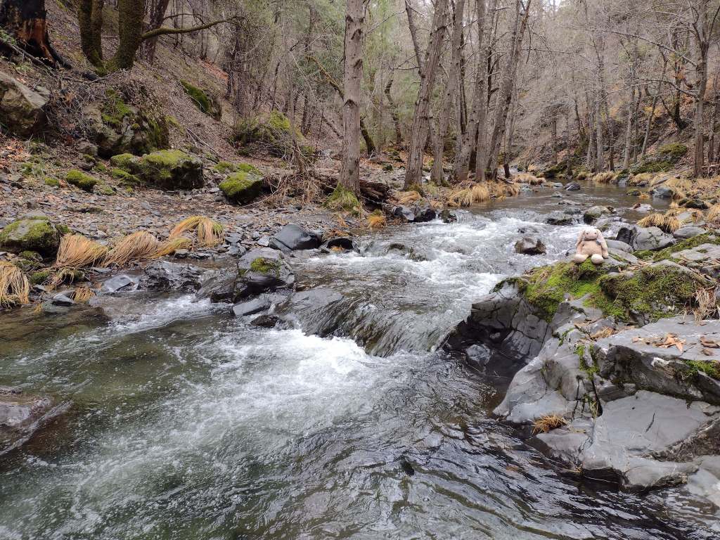
From our turnaround spot on Deafy Glade Trail we got great views of the Rice Valley.
Peak Season
Spring
Fees
None
Road Conditions
Fouts Springs Road (Forest Road M10) is a well-maintained gravel road that crosses the National Forest west of Stonyford. That area is popular with OHVs, so keep an eye out for them. Further south, Highway 20 is a paved route to trailheads in Berryessa Snow Mountain National Monument, but four-wheel-drive may be required to access Buck Island Campground. The new Molok Luyuk section northeast of Clear Lake is reached by the gravel Walker Ridge Road that requires a high-clearance vehicle.
Camping
Mendocino National Forest manages Bear Creek Campground and Lower Nye Dispersed Campground, plus numerous others outside the National Monument boundaries. There are several campgrounds on Lake Berryessa, in addition to the ones at Clear Lake State Park and Cache Creek Canyon Regional Park.
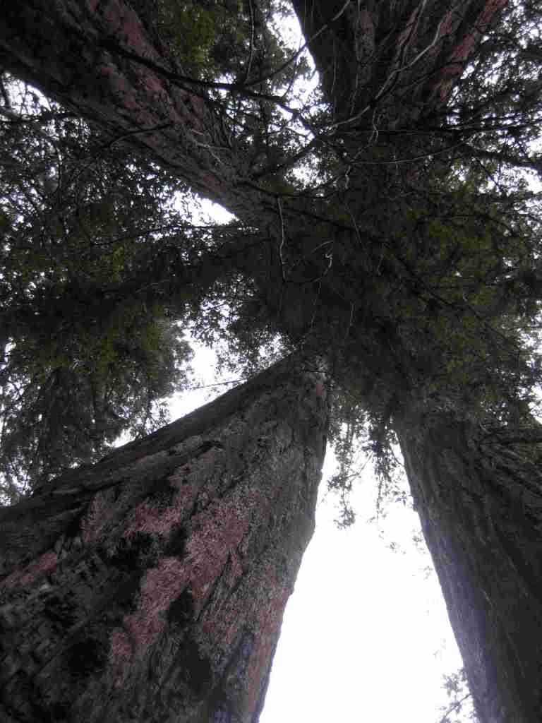
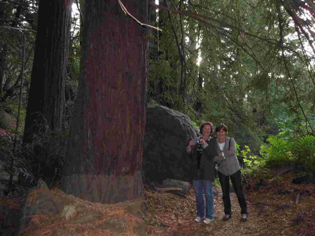
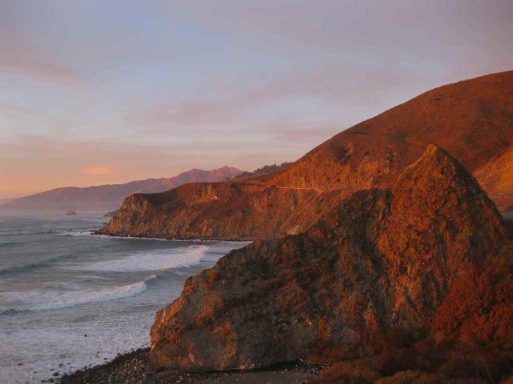
Los Padres National Forest stretches more than 200 miles from Monterrey south beyond Santa Barbara. It contains most of Big Sur, a name that conjures images of craggy cliffs dropping precipitously into white-capped ocean waves. This sparsely inhabited stretch of coastline is known as much for its historic bohemians as its coast redwood trees. It is home to multiple rare tree species with limited native ranges, especially those that can tolerate serpentine soils. As the only National Forest in California that touches the Pacific Ocean, a road trip down scenic Highway 1 should be on everyone’s bucket list, including stops at Julia Pfeiffer Burns State Park, Bixby Creek Bridge, Hearst Castle State Park, and the elephant seal rookery at Piedras Blancas. We have hiked many trails here since Scott taught for three years at Cal Poly State University in San Luis Obispo.
Know someone who loves the National Forests? Gift them our travel guidebook Out in the Woods so they can learn more about this and the 154 other National Forests.
Highlights
Big Sur, Sykes Hot Springs, Salmon Creek Falls, Jade Cove, Cuesta Ridge Botanical Area, Figueroa Mountain, Mt. Pinos, Knapp’s Castle, Seven Falls, Sespe Hot Springs
Must-Do Activity
Los Padres National Forest is 48% designated Wilderness, so the recommended activity is to hike into those natural areas. The Matilija Wilderness is in the Santa Ynez Mountains that loom above the coastal city of Santa Barbara, home to a university, art museum, and historic Presidio built in 1782. If you go to hike to the ruins of Knapp’s Castle in the National Forest, also make a quick stop at Chumash Painted Cave State Historic Park, which contains colorful pictographs dating back to the 1600s. Another popular U.S. Forest Service trailhead located closer to town goes either to Inspiration Point or Seven Falls, the latter a better choice on foggy days, which are common on the coast.
Best Trail
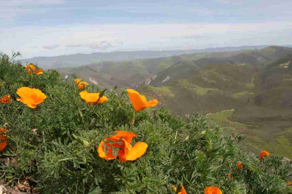
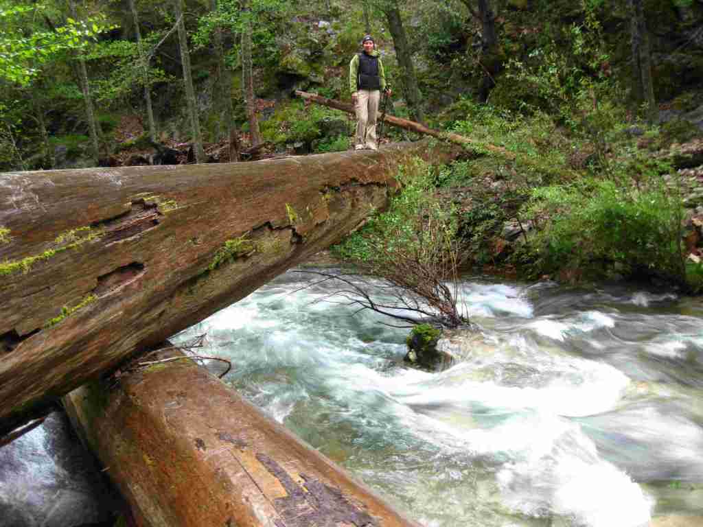
There are 323 miles of incredible hiking trails throughout Los Padres National Forest, including a few that access hot springs. Our favorite trails are in the Santa Lucia Mountains that tower above Big Sur. One pinnacle accessible by trail is Cone Peak at 5,155 feet in elevation. The access road is typically closed in the winter, but when it is open the trail is only 2.3 miles to the summit with a vertical gain of 1,400 feet. Do not expect any shade since multiple fires have burned most of the mountain, although there are still a few surviving examples of the rare Santa Lucia fir tree. Although some areas are no longer vegetated, the plentiful sunshine above the fog belt means there are often incredible displays of wildflowers along the trail early in summer, including lupine, sticky monkeyflower, and yucca.
Watchable Wildlife
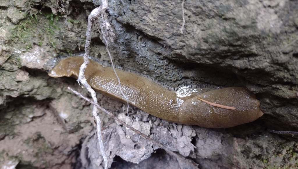
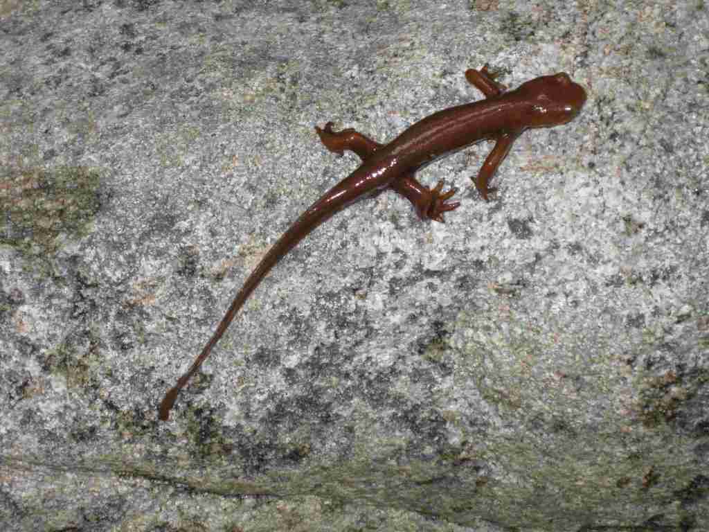
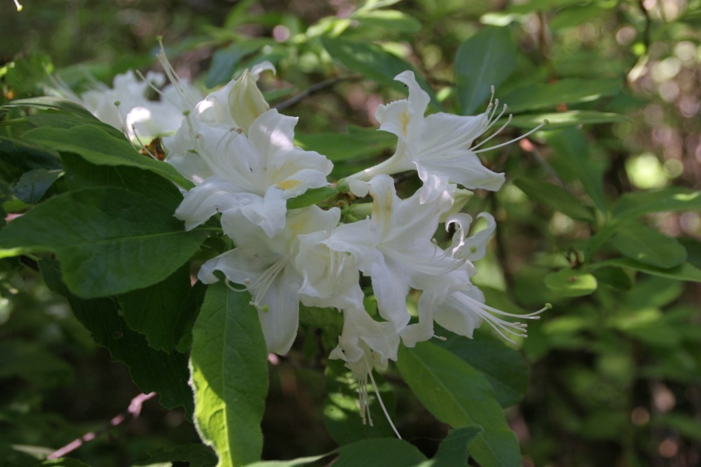
There is a wide range of wildlife found here from sea level up to 8,847 feet in elevation, and the most famous is the reintroduced California condor that nests in the Sespe Condor Sanctuary. Other birds include barn owls, great horned owls, red-tailed hawks, bald eagles, California quail, and California scrub jays. Coyotes, black bears, bobcats, mountain lions, black-tailed deer, bighorn sheep, and raccoons are common large mammals. Species of concern include the foothill yellow-legged frog and California mountain kingsnake. Look for California newts and banana slugs in the moist understory of coast redwood forests.
Photographic Opportunity
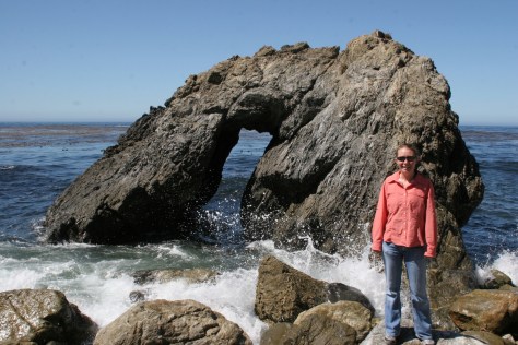
Even if you are not spending the night at Kirk Creek Campground, you can park and walk down the trail to the south that goes past redwood trees to the beach where there is a sea arch and tidepools.
Peak Season
Fall and winter
Fees
$5 per vehicle Adventure Pass (or America the Beautiful pass) required at most trailheads
Road Conditions
There are some steep unpaved roads in Los Padres National Forest, which can be impassable in wet or snowy conditions. Portions of the unpaved Tassajara Road to Chews Ridge are narrow and steep, requiring a four-wheel-drive vehicle to reach Tassajara Hot Springs.
Camping
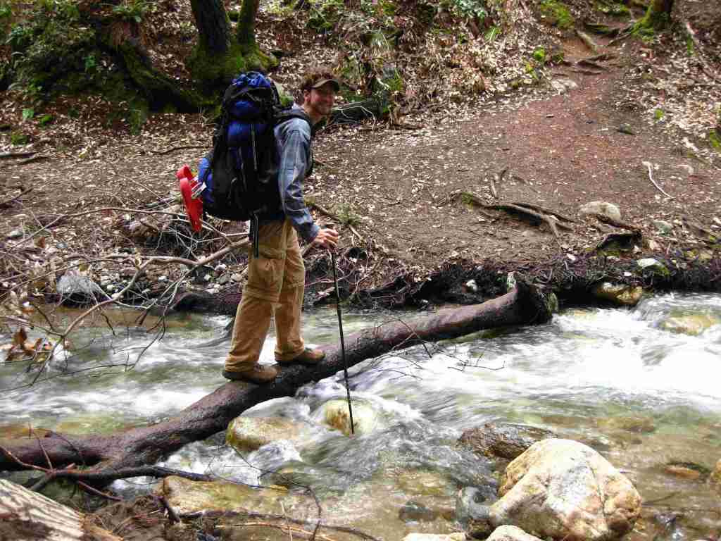
A night spent listening to the ocean waves breaking far below the U.S. Forest Service’s clifftop Kirk Creek Campground is enchanting, which is why it made it on our list of Top 10 Campgrounds in National Forests. There are 11 campgrounds in total, and a free campfire permit is required if you use a camp stove (which can be obtained online). Sespe Hot Springs is a popular ten-mile one-way backpacking destination.
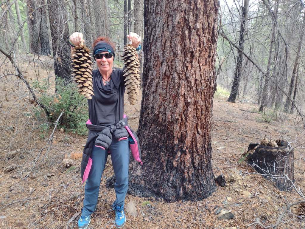
Scott’s mother and aunt in the redwood forestTiff hiking to Sespe Hot SpringsSespe Hot SpringsSticky monkeyflowerScott backpacking to Sespe Hot SpringsHighway 1Scott with a Santa Lucia firScott with a coast redwood treeBanana slugCalifornia newtMt. PinosKirk Creek Campground in Big Sur
coast live oak, California black oak, tanoak, western redbud, Pacific madrone, manzanita
Explore More – What is the name of the nomadic group that lived in Big Sur dating back 5,500 years ago?
Know someone who loves the National Forests? Gift them our travel guidebook Out in the Woods so they can learn more about this and the 154 other National Forests.
Lassen National Forest Reserve dates back to 1905, then a decade later when Lassen Peak explosively erupted (the first eruption to be photographed in the continental U.S.), 106,589-acre Lassen Volcanic National Park was carved out. The two federal areas are connected by the 187-mile-long Lassen Scenic Byway (Highways 44 and 89) that traces the volcanic legacy of the southern Cascade Range. The 41,100-acre Ishi Wilderness was named in 1984 to honor the last surviving member of the Yahi band of Southern Yanas, taken from his native home near Oroville in 1911 and employed as a janitor at the University of California’s Anthropology Museum in San Francisco until his death from tuberculosis five years later.
Highlights
Lassen Scenic Byway, Lake Almanor, Eagle Lake, Subway Cave, Hat Creek Recreational Area, Triangle Lake, Heart Lake National Recreation Trail, Bizz Johnson Trail, Spencer Meadows National Recreation Trail, Pacific Crest National Scenic Trail
Must-Do Activity
Lassen National Forest runs campgrounds and boat ramps on both Lake Almanor and Eagle Lake, although most of their shorelines are privately owned. Between the two lakes is the town of Susanville, where a railroad bed abandoned in 1978 was converted into the Bizz Johnson Trail that follows the Susan River for 26 miles. The trail features 12 river crossings and two tunnels with scenic mountain views. Camping is restricted to specific portions of the trail. The 20,546-acre Caribou Wilderness was one of America’s first Primitive Areas designated in 1932 and along with the 16,335-acre Thousand Lakes Wilderness was established immediately following passage of the 1964 Wilderness Act. In a proposed Wilderness area on the west side of Lassen Volcanic National Park, Heart Lake National Recreation Trail is a 2.4-mile one-way hike up to a glacial lake that connects to the longer Twin Meadows Trail.
Best Trail
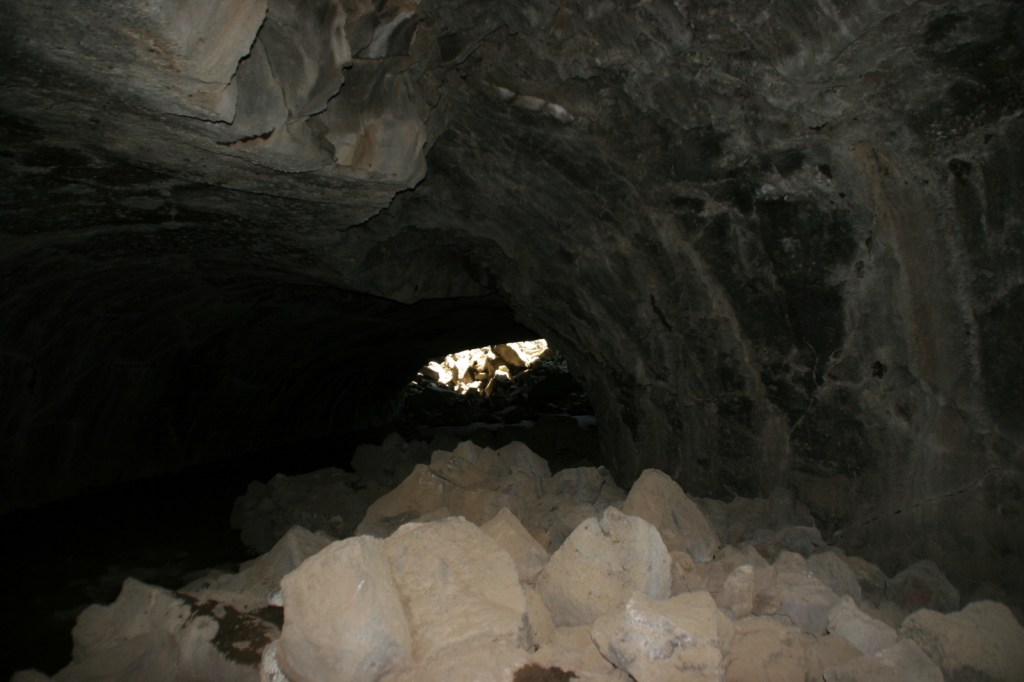
Subway Cave is only 1,300 feet long, but the lava tube is the main attraction in Lassen National Forest, with free guided tours offered on summer weekends. Lava flowed through here less than 2,000 years ago and interpretive signs along the 0.7-mile loop trail explain lavacicles and other geologic oddities. A flashlight is necessary to explore past the openings of the 46°F cave, which drops to four feet in some places with a maximum ceiling of 17 feet. One mile south on the Lassen Scenic Byway (Highway 44) is the 1.7-mile roundtrip Spatter Cone Trail (across from Hat Creek Campground). The trail passes a variety of volcanic formations in a forest of Jeffrey pine trees.
Watchable Wildlife
Lassen National Forest is home to black bears, pine martens, mountain lions, bobcats, red foxes, coyotes, and a few gray wolves that migrated south from Oregon. You are most likely to see mule deer or one of the variety of chipmunks or squirrels. Bird sightings include mountain chickadees, Steller’s jays, Clark’s nutcrackers (at high elevations), and eight species of woodpeckers such as pileated and white-headed.
Photographic Opportunity
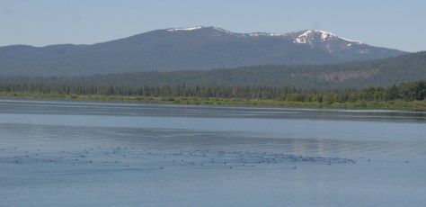
Sitting at 4,505 feet in elevation, Lake Almanor stretches for 13 miles near Chester, California and is a good place for summer boating and fishing.
Peak Season
Summer
Fees
None
Road Conditions
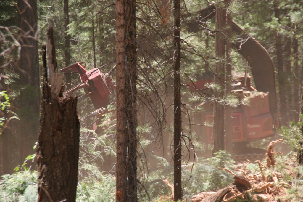
Subway Cave is located right off Lassen Scenic Byway (Highways 44 and 89) and most of the unpaved roads we have explored in the National Forest have been maintained, probably because of the continued harvesting activities that we witnessed on our field trip from Cal Poly University in 2010.
Camping
Lassen National Forest runs campgrounds on both Lake Almanor and Eagle Lake, plus Hat Creek Recreational Area has seven campgrounds. If you are looking to disperse camp outside Lassen Volcanic National Park, take the road west outside the southern entrance (but keep a clean campsite as we saw a black bear in the area).