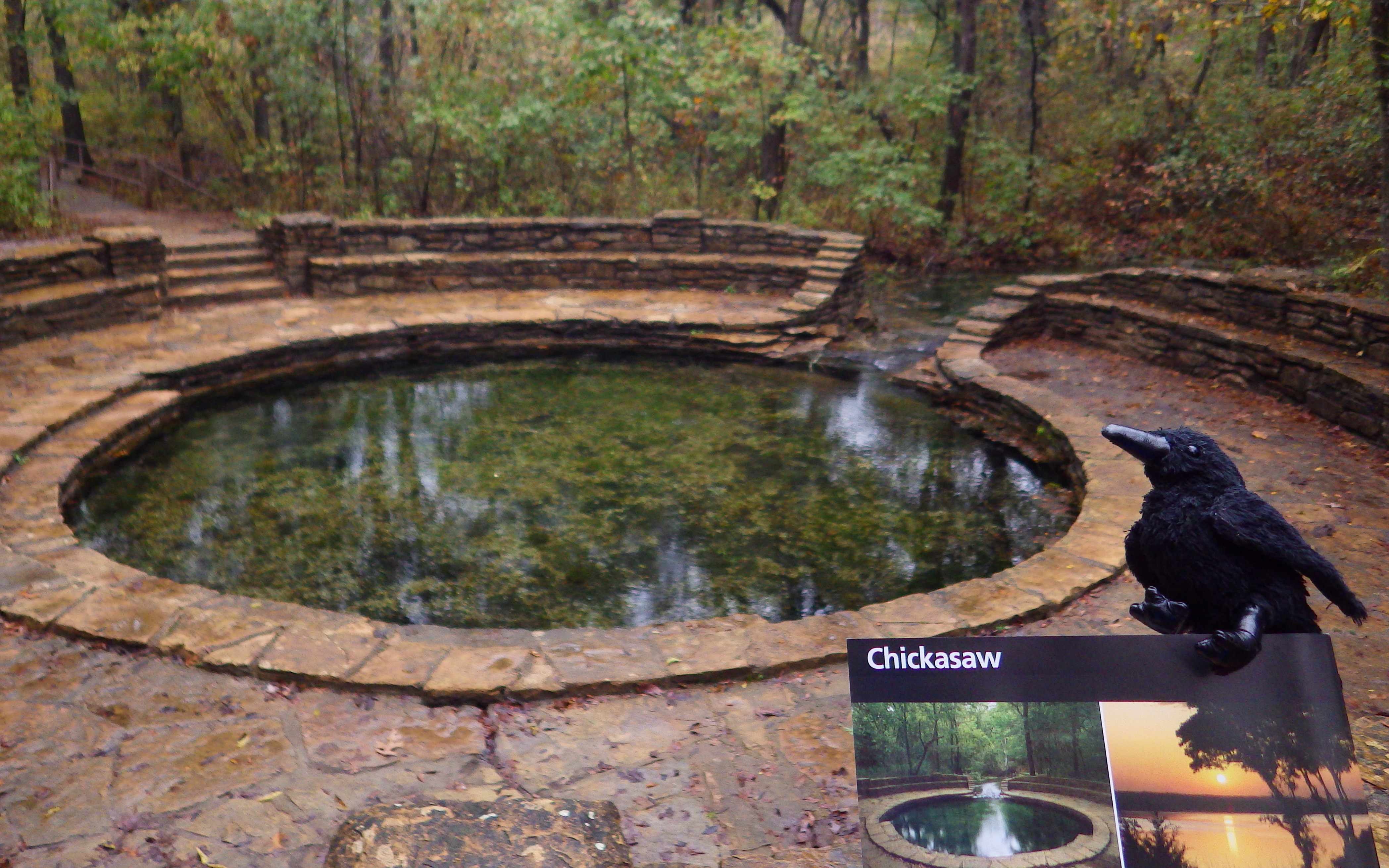
In 1976, Platt National Park was combined with the nearby reservoir at Arbuckle National Recreation Area to form Chickasaw National Recreation Area, named for the neighboring Chickasaw Nation of central Oklahoma. The trails and infrastructure in the park were predominantly built in the 1930s by the Civilian Conservation Corps (CCC).
Highlights
Natural springs, bison herd, Lincoln Bridge, reservoir
Must-Do Activity
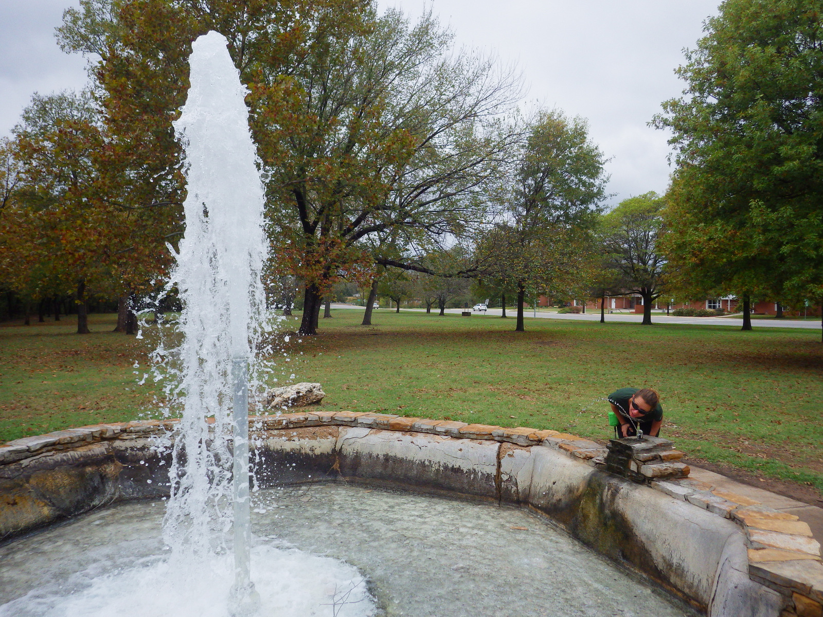
Visitors should start at the Travertine Nature Center, then visit the bison pasture and “take the waters” at Vendome Well. Other diverse recreational opportunities include camping and water sports on the Lake of the Arbuckles.
Best Trail
Take the trail from the Travertine Nature Center to Antelope Springs and photogenic Buffalo Springs. There is also loop trail around the bison pasture.
Instagram-worthy Photo
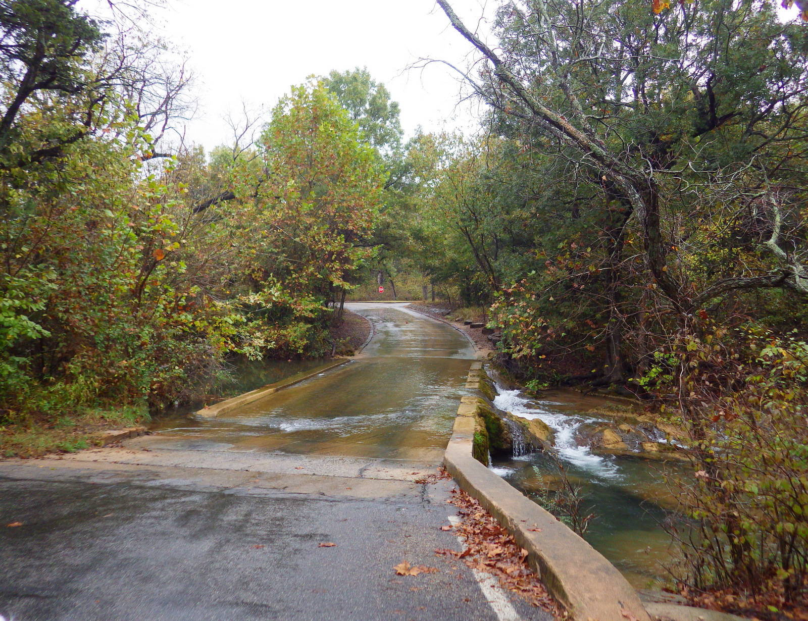
The U.S. Mint quarter (see photo below) for Oklahoma depicts the Lincoln Bridge built by the CCC, but it can be difficult to photograph through the trees.
We are a participant in the Amazon Services LLC Associates Program, an affiliate advertising program designed to provide a means for us to earn fees by linking to Amazon.com and affiliated sites.
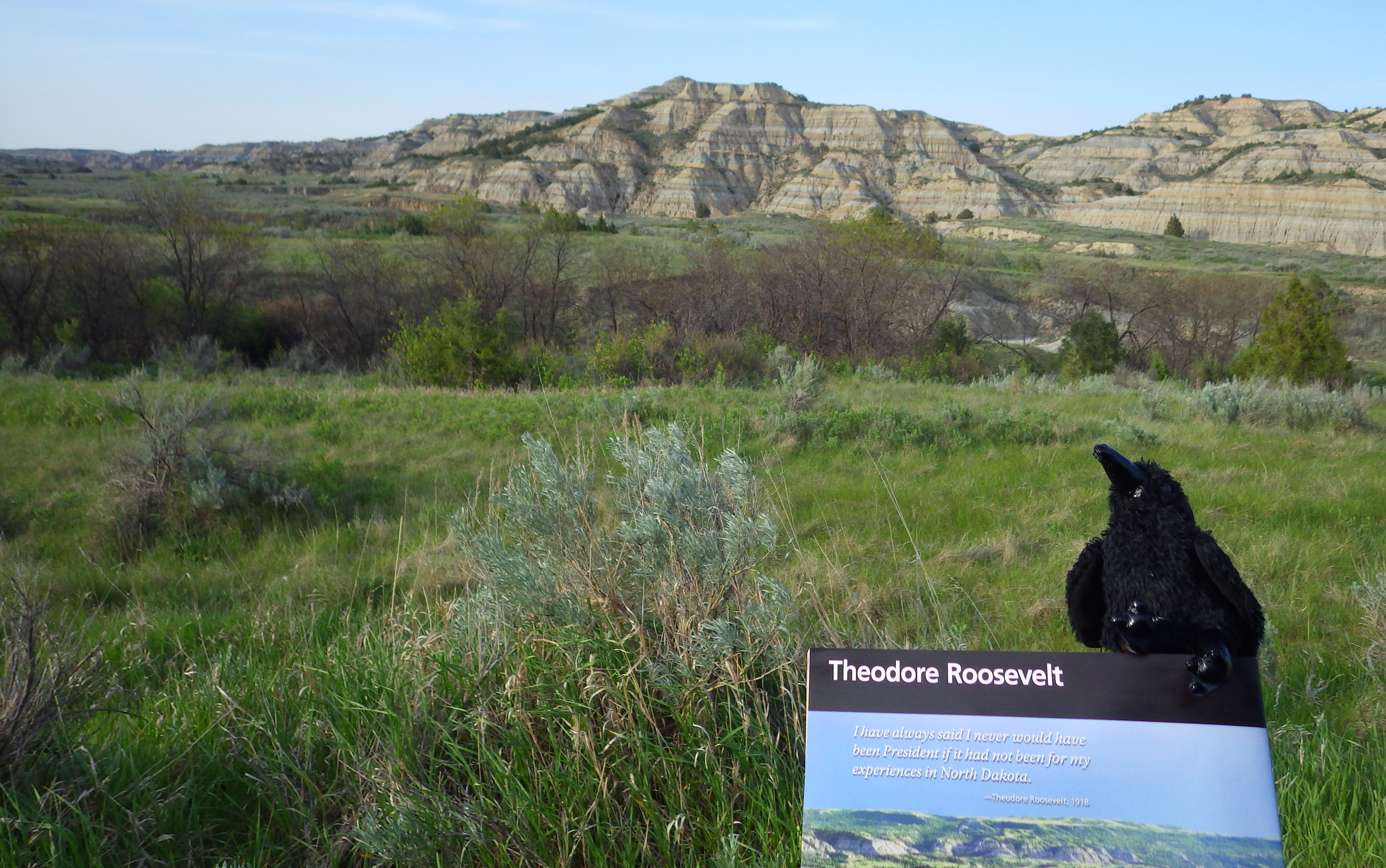
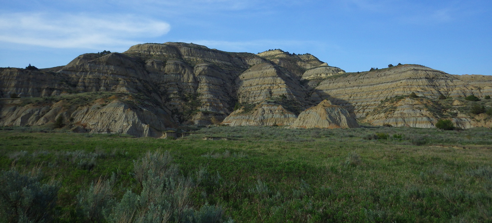
Located in western North Dakota, Theodore Roosevelt National Park is where Teddy came in 1883 to become a cattle rancher prior to his political career. The park is divided into a North and South Unit (in different Time Zones), each with impressive vistas and wildlife. It is home to a demonstration herd of longhorn steers and free-ranging wild horses, plus reintroduced bison, bighorn sheep, and elk.
Teddy Roosevelt’s Maltese Cross cabin was relocated to the park’s South Unit visitor center, which is easily accessible off Interstate 94, as is the Painted Canyon Overlook and trail. A portion of the 36-mile paved scenic loop road is closed indefinitely due to melting from a decades long underground coal fire.
Best Trail
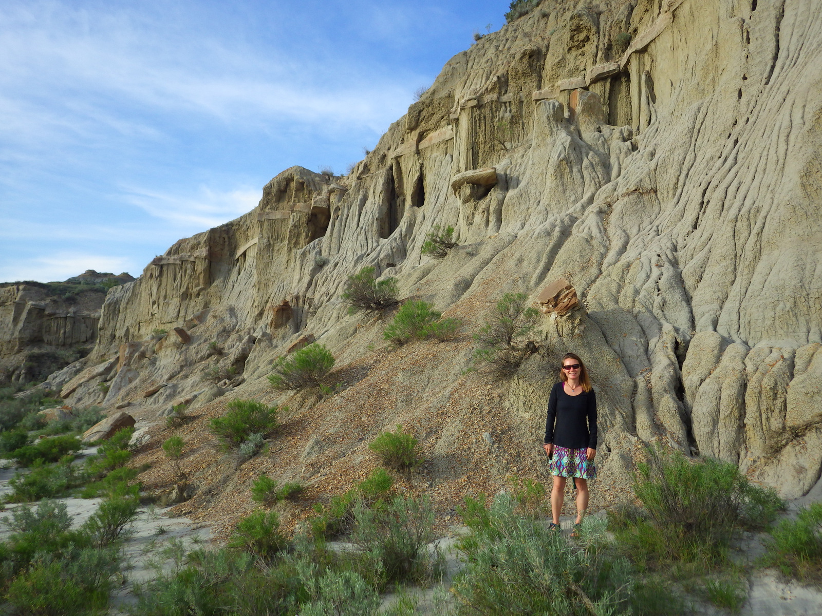
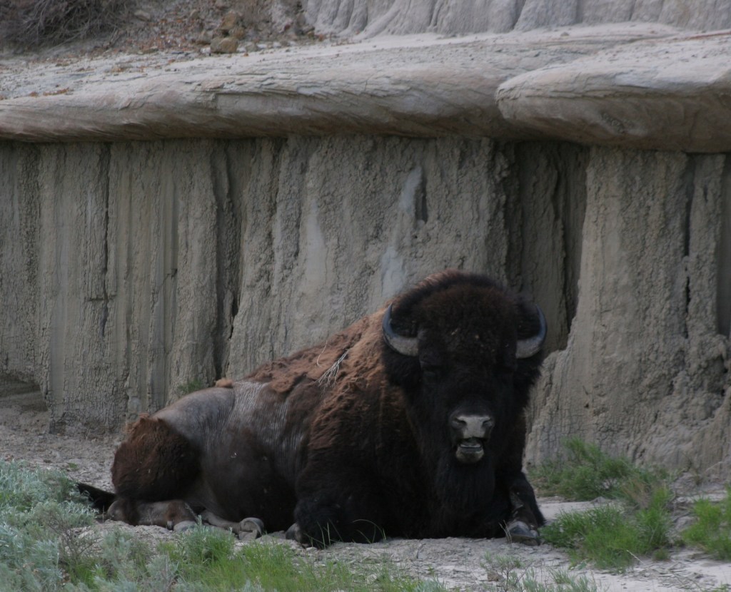
Wind Canyon Loop Trail in the South Unit is less than half a mile in length but offers an opportunity to walk on the eroding slopes of the badlands and an excellent vista of the Little Missouri River. We have also backpacked on the North Petrified Forest Trail, where we woke up near a sleeping bison bull (see photo below).
Instagram-worthy Photo
Cannonball concretions are sandstone spheres formed by groundwater and can be seen only in the North Unit badlands.
The scenic drives are paved, and the gravel roads in the park are good enough for a passenger vehicle when dry, including the 60 mile drive to Elkhorn Ranch.
Camping
There are large campgrounds in both the North and South Unit.
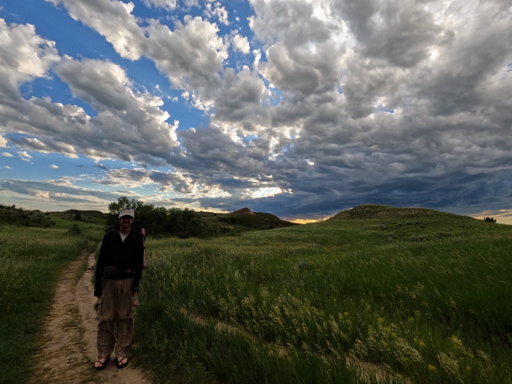
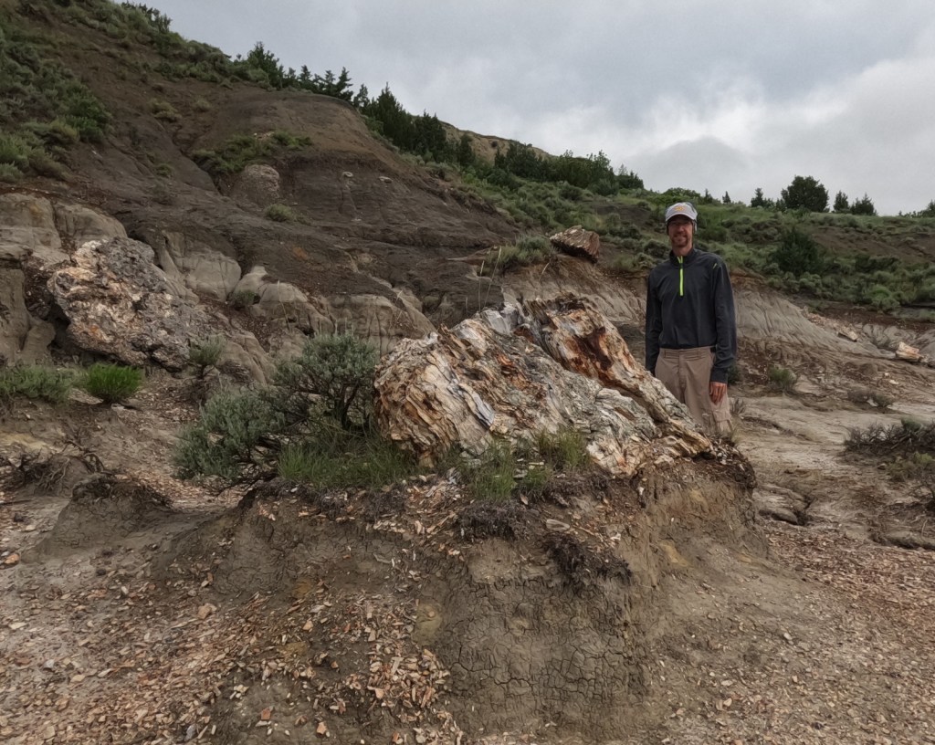
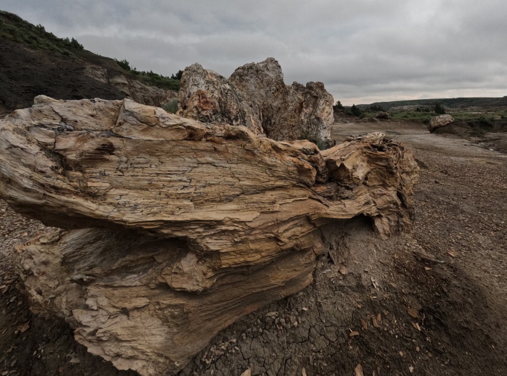
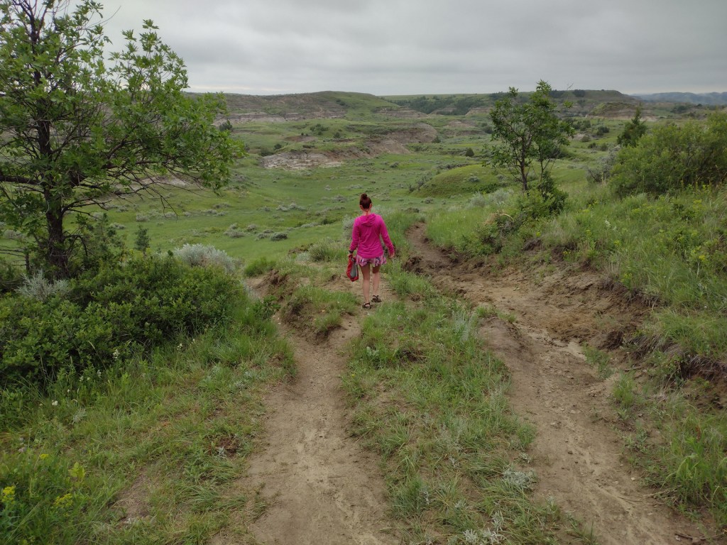
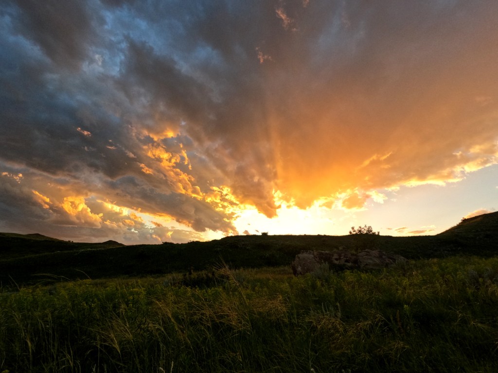
Bison can be seen in both the North and South Unit of the parkScott in the petrified forestPetrified woodTiff on the North Petrified Forest TrailWe woke up and saw this bison too close to our tent so we quietly left and came back later to pack up
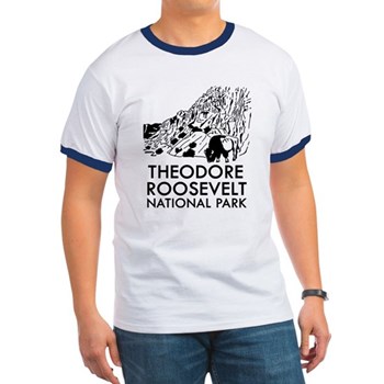
This design we created to celebrate Theodore Roosevelt National Park is available on a variety of products at Cafe Press and Amazon.
There are no roads in North Carolina’s Cape Lookout National Seashore, but vehicles can drive the beach nearly the entire 56-mile length of these Outer Banks barrier islands. A passenger ferry leaves from Beaufort, North Carolina to access the Shackleford Banks where feral horses reside. Cape Lookout is on the South Core Banks, a great spot for camping, surf fishing, kite flying, and beachcombing. This island is accessible aboard a passenger ferry from Harkers Island and a vehicle ferry from Davis.
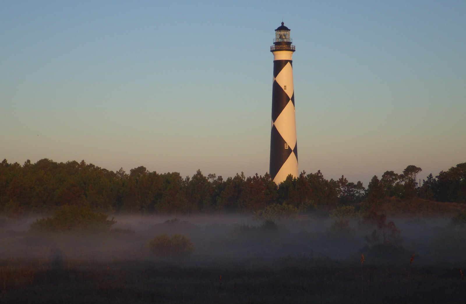
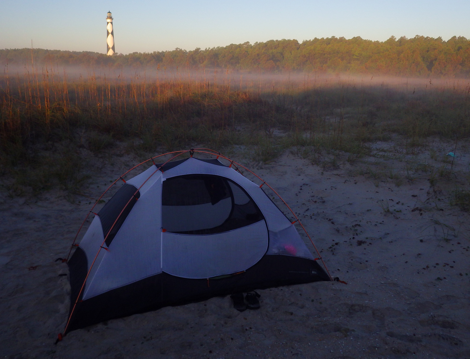
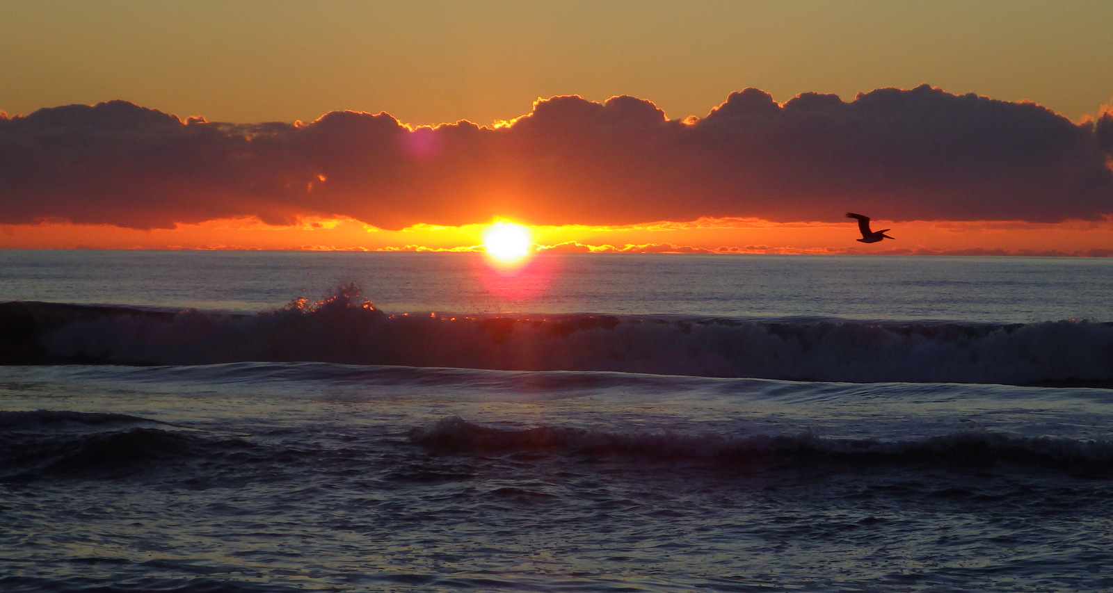
If you enjoy beach camping, then you must spend at least one night on the islands. Go beachcombing in the morning after watching the sunrise light up Cape Lookout Lighthouse.
Best Trail
There are boardwalks around the ferry landing and lighthouse, otherwise just walk the beaches.
Instagram-worthy Photo
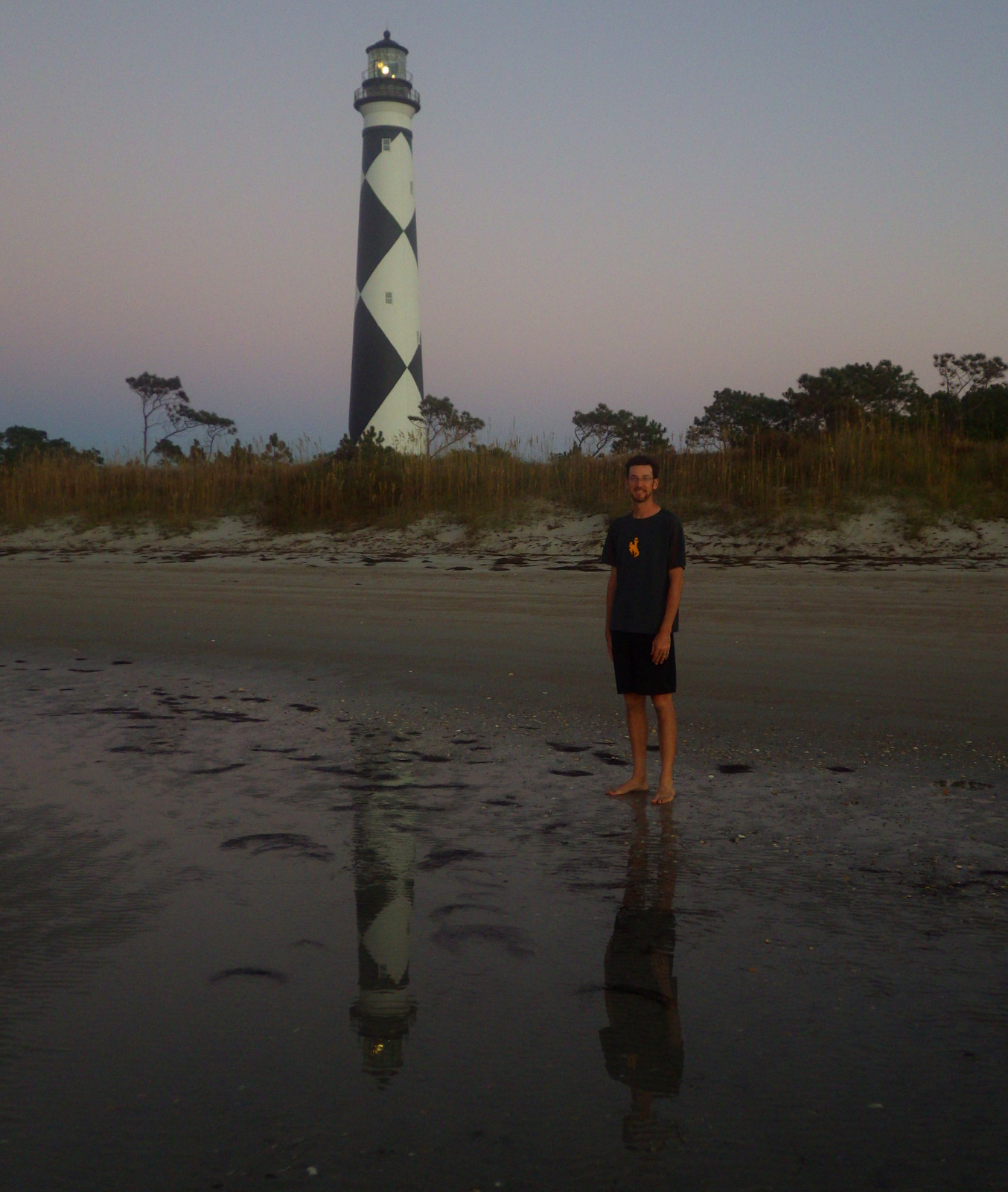
The majestic 163-foot tall Cape Lookout Lighthouse (wearing argyle) is the icon of this national seashore and looks best at sunset and sunrise.
Find this photo and many others for sale on Imagekind.
Free to visit and camp, $16 roundtrip per adult for passenger ferry, sometimes a charge to climb to the top of the lighthouse
Road Conditions
Paved to the ferry docks in Beaufort and Harkers Island, sandy on outer islands (4×4 required)
Camping
Camping is free on the beaches, but unless you have your own boat you will need to pay for a ferry ride out there. The oceanfront section of beach near Cape Lookout Lighthouse is closed to vehicles, making it perfect for backpackers.
Seashell hunting out here is great; and yes, the National Park Service allows you to take a reasonable amount home.
Explore More – When was the Cape Lookout Lighthouse built?
North of Arkansas’ Buffalo National River on the Ozark Plateau is Ozark National Scenic Riverways, perhaps the wildest section of Missouri. Unlike the many reservoirs around Branson, here the Current and Jacks Fork Rivers flow freely and have been managed by the National Park Service since 1964. The best way to explore the serpentine park boundaries is on the water, but roads and trails access several areas.
Highlights
Canoeing/kayaking, Blue Spring, Alley Mill, karst landforms and caves
Must-Do Activity
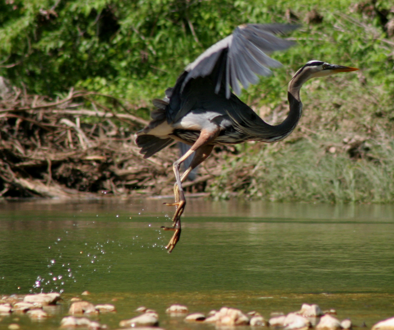
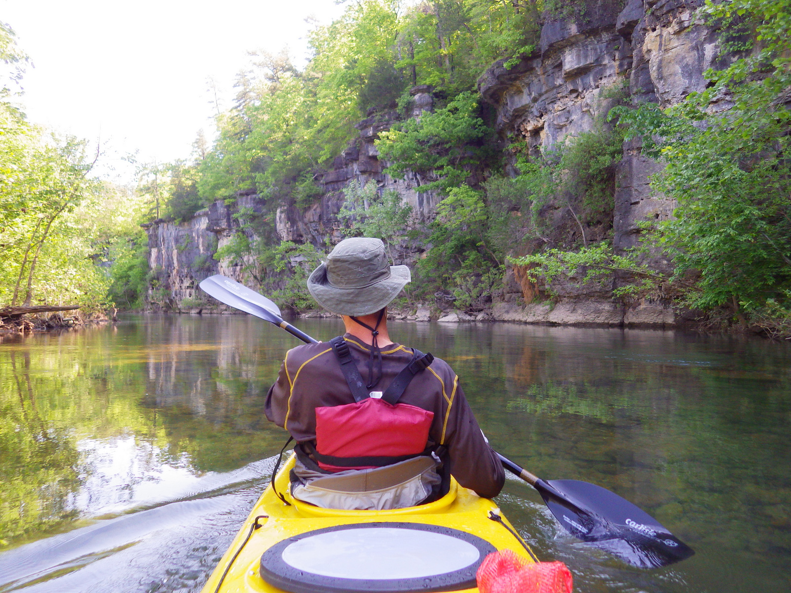
The crystal clear spring-fed water of the Jack’s Fork River is home to a variety of fish, birds, and even the occasional beaver. We paddled 25 miles from Buck Hollow to Alley Spring, a pleasant day trip.
Best Trail
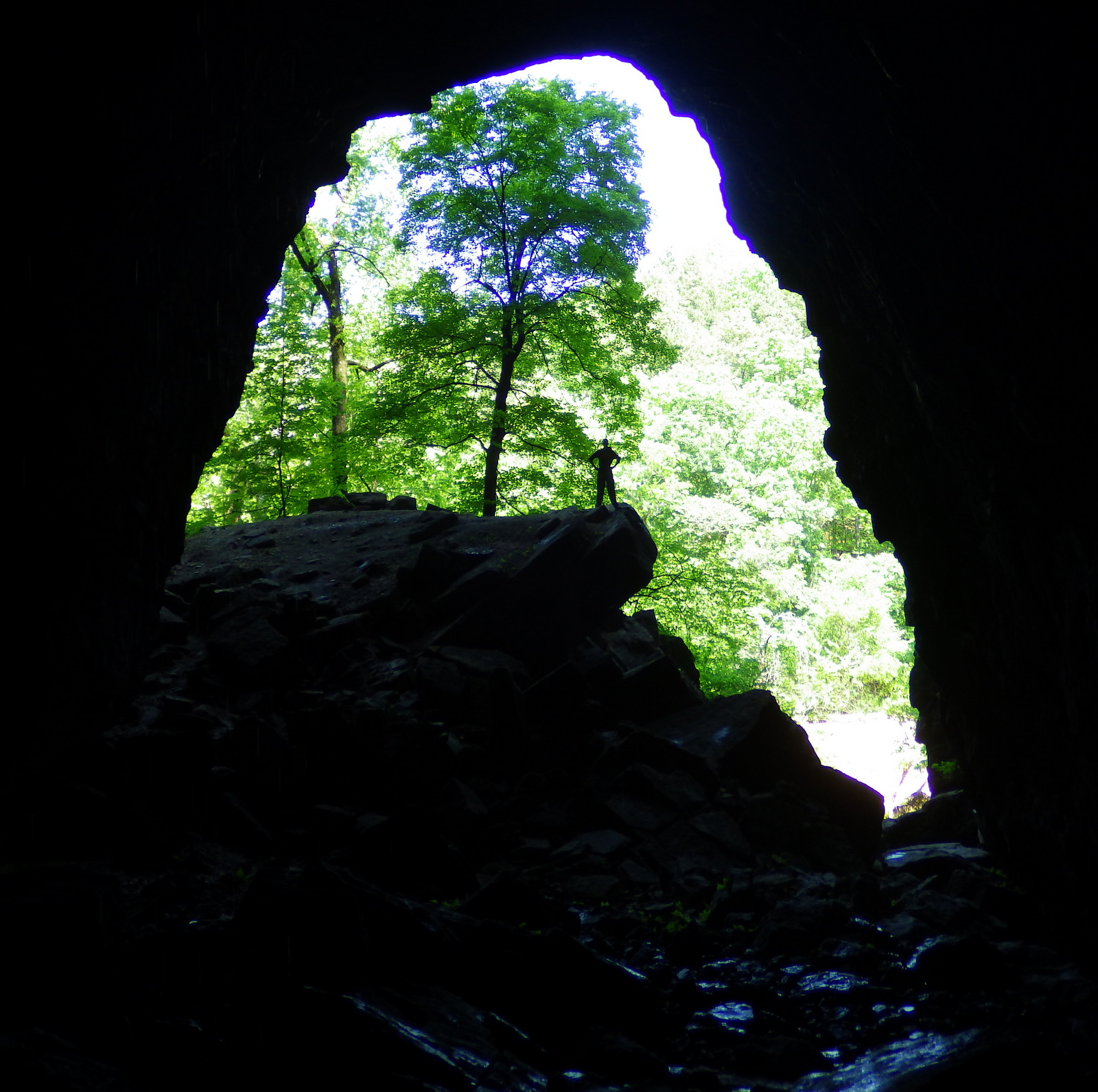
The dolomite and limestone karst underneath this park is riddled with caves and sinkholes, like Devils Well, Round Spring Cave (ranger guided tours for a fee), and Jam Up Cave (only accessible from the Jack’s Fork River).
Instagram-worthy Photo
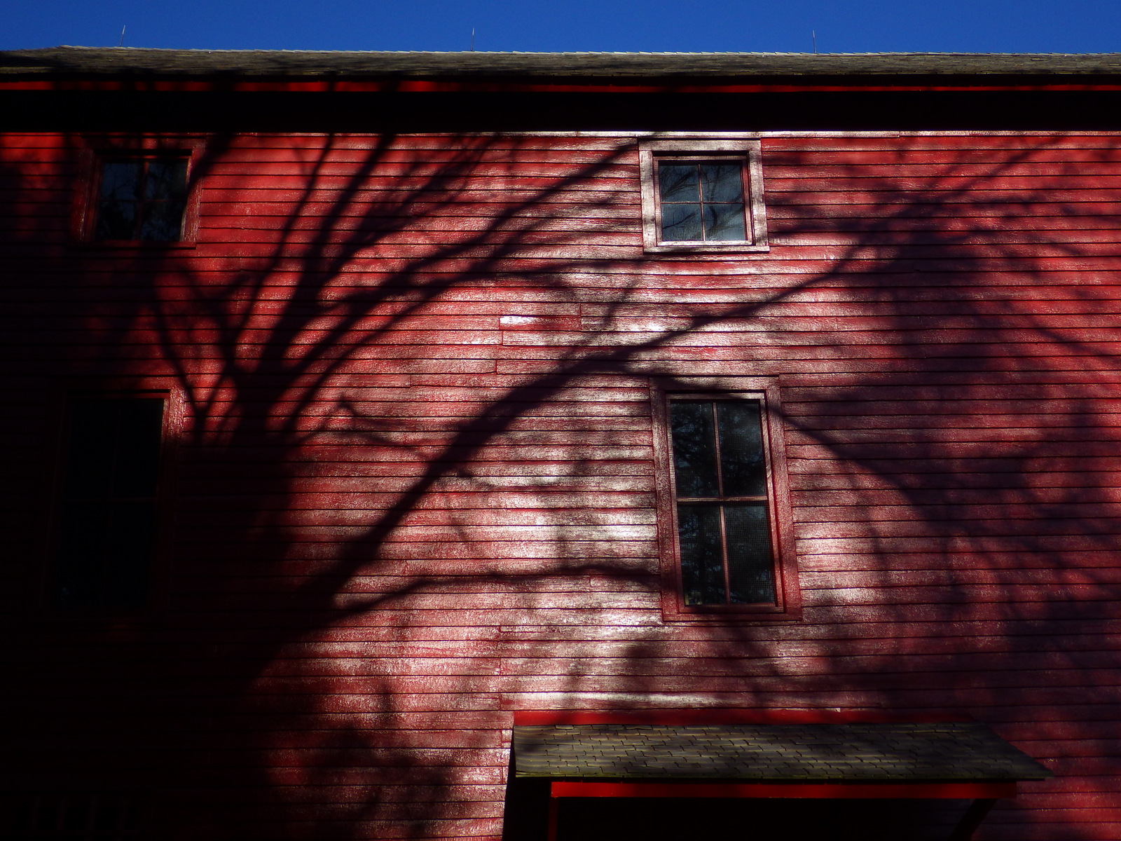
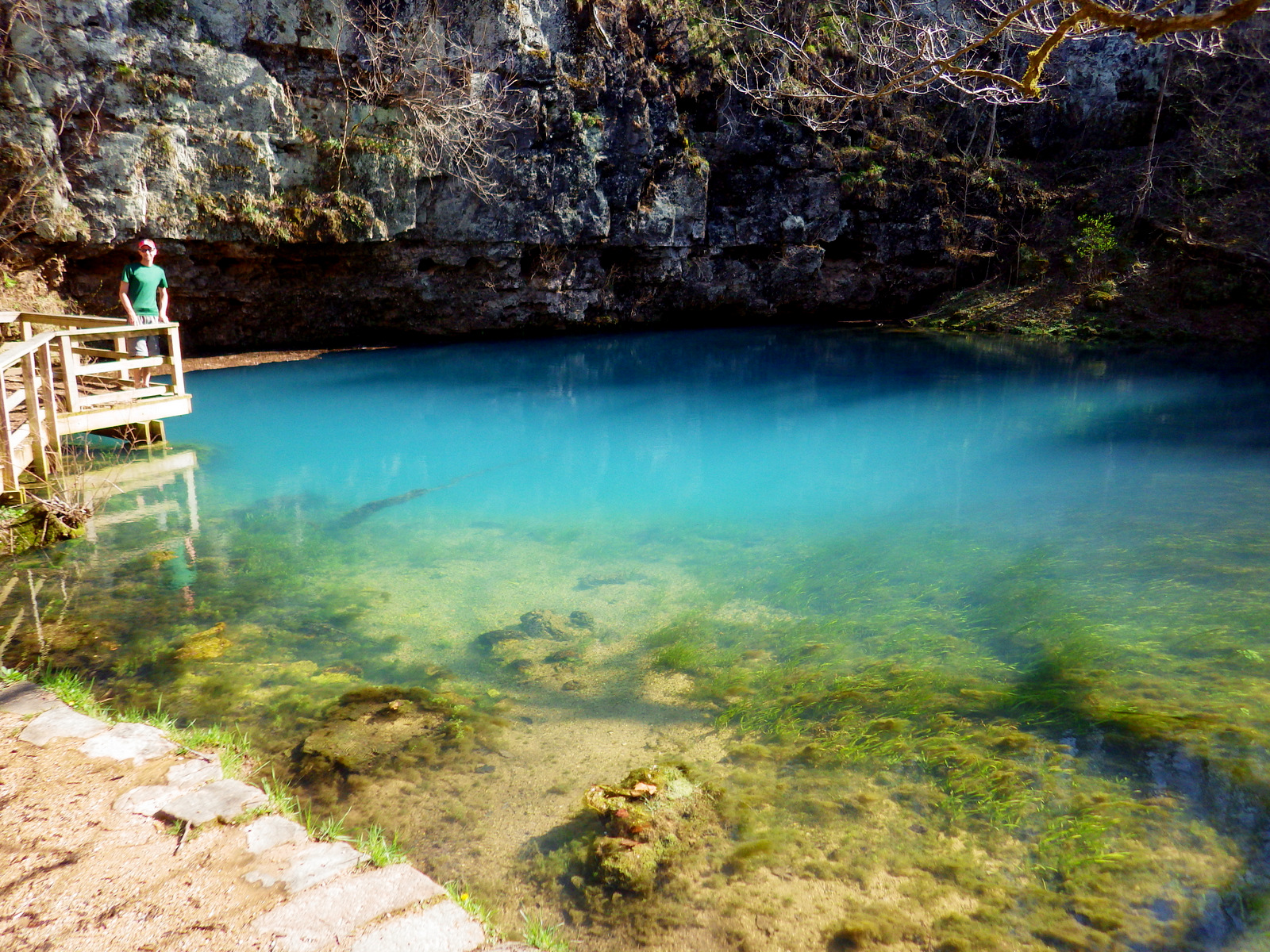
Hike to 310-foot deep Blue Spring (which was aptly called Spring of the Summer Sky by Native Americans) or drive to the bright red Alley Mill that dates back to 1894.
Peak Season
Spring offers peak water flows for canoeing/kayaking
None, but you can pay local concessionaires to rent canoes and shuttle your vehicle.
Road Conditions
Highways are paved and most dirt roads are narrow but passable with a passenger vehicle when dry
Camping
There are many campgrounds within Ozark National Scenic Riverways, some with full RV hookups and some primitive (we especially liked Bay Creek). Floaters on the Current and Jacks Fork Rivers are allowed to camp on gravel bars.
Jam Up Cave is only accessible by beaching your boat along the Jacks Fork River. Find this photo and others for sale on Imagekind
Scott at Blue Spring
Explore More – The colorful Blue Spring pumps out how many million gallons of water per day?
We are a participant in the Amazon Services LLC Associates Program, an affiliate advertising program designed to provide a means for us to earn fees by linking to Amazon.com and affiliated sites.
The turquoise waters of Lake Superior beneath the sandstone cliffs of Pictured Rocks National Lakeshore make it seem warmer than it actually is. Glaciers carved this shoreline thousands of years ago, but the Ice Age never seems far off in the lake’s cold waters. Minerals leaching from the stone paint the cliffs in many hues, hence the name Pictured Rocks.
Highlights
Petit Portal, Miners Castle, Munising Falls, Sable Falls
Must-Do Activity
Kayaking through Petit Portal is an unforgettable experience. Guides can provide the necessary gear and know-how, as well as commercial boat operators that get close to but do not actually pass through the natural arch.
Best Trail
Not far from the visitor center is a short trail to Munising Falls, one of several waterfalls in this 42-mile stretch of shoreline.
Instagram-worthy Photo
It will be hard to maintain a flat horizon line while bobbing on the waves in your kayak as you pass through Petit Portal, so take plenty of pictures.
Peak Season
Primarily a summer destination, but even then be prepared for sudden storms that can suddenly blow across Lake Superior.
No entry fee, but there is a charge for backcountry camping permits that are only available online.
Road Conditions
All roads are paved (to our knowledge).
Camping
Three campgrounds, plus 14 backcountry camping areas in the National Lakeshore. More backcountry campsites can be found offshore in Grand Island National Recreation Area, administered by Hiawatha National Forest, which also offers dispersed camping opportunities.
Munising Falls near the south Visitor Center
Explore More – What valuable mineral stains the sandstone cliffs green and blue?
We are a participant in the Amazon Services LLC Associates Program, an affiliate advertising program designed to provide a means for us to earn fees by linking to Amazon.com and affiliated sites.
Start your U.S. National Parks, National Forests, and National Monuments adventure here!