Overview
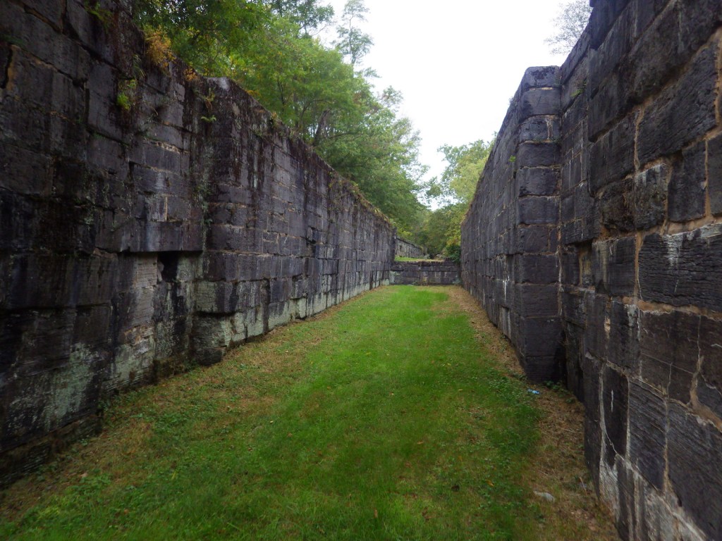
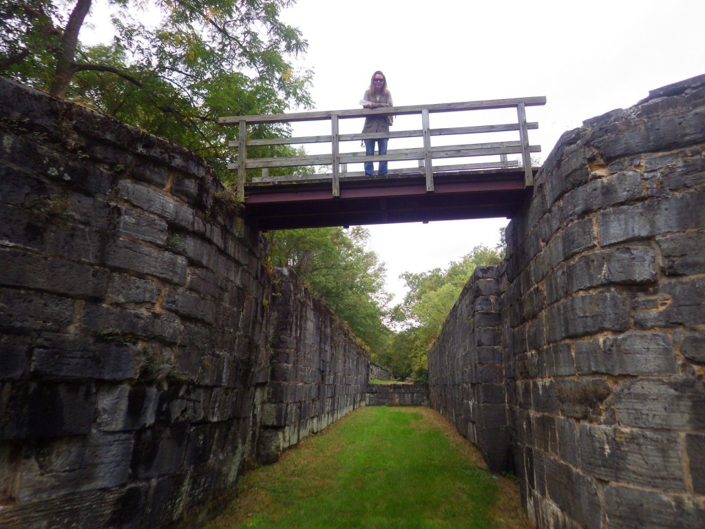
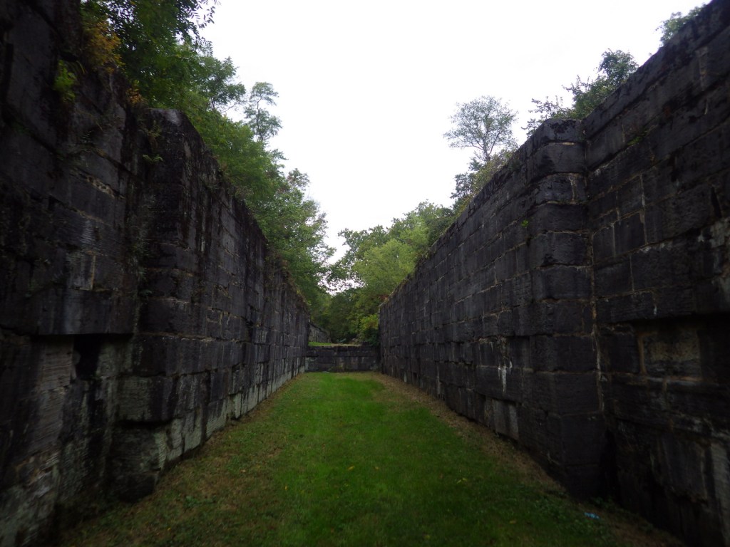
If you did not know there was a National Park in Ohio it is understandable since Cuyahoga Valley National Park was not officially designated until 2000. It is centered around the historic Ohio and Erie Canal, which opened in 1827 to connect Akron to the port of Cleveland on Lake Erie. Cuyahoga is an American Indian word meaning “crooked” and you will see why if you walk or bike down the 19-mile Towpath Trail where mules once pulled line boats through a series of locks (be sure to stop at Canal Visitor Center at Lock 38). If you plan it right, you can take your bike on board the Cuyahoga Valley Scenic Railroad for a cheap one-way ride.
Learn more in our guidebook to the National Parks, A Park to Yourself: Finding Adventure in America’s National Parks (available on Amazon).
Highlights
Brandywine Falls, Lock 38, Hunt Farm, Everett Road Covered Bridge, Gorge Parkway
Must-Do Activity
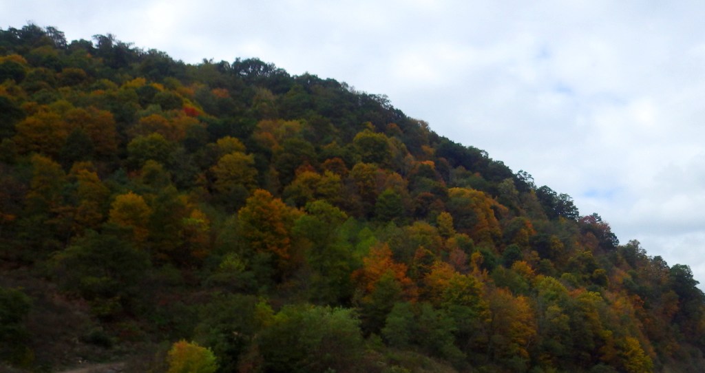
In the park’s southern end near Akron-Canton, you will find a great blue heron rookery and beaver marsh along the crooked Cuyahoga River. In the central section, you must stop to see the cascades of Brandywine Falls (see it depicted below in our original logo). Closer to Cleveland, discover the Bedford Reservation along Gorge Parkway, including beautiful Bridal Veil Falls. For a little culture in the outdoors, look up the summer schedule for Blossom Music Center or Porthouse Theatre. Fall is an especially popular time to visit when the leaves change, but with over 100 miles of trails within the park, there is plenty to explore in every season.
Best Trail
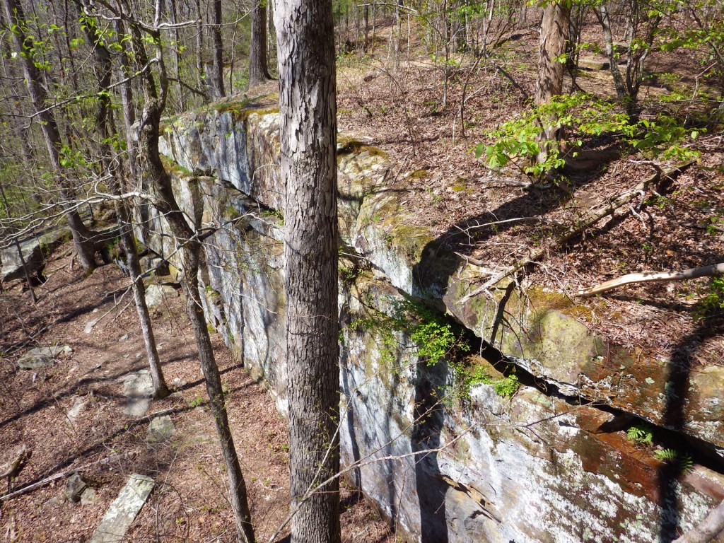
We highly recommend a hike on the two-mile Ledges Loop Trail where mossy sandstone cliffs are cloaked by a dense forest of hemlock and hardwood trees. Once a popular destination on the trail, Ice Box Cave is closed to protect the resident bat population, but similar spots nearby still offer a chance for exploration.
Instagram-worthy Photo
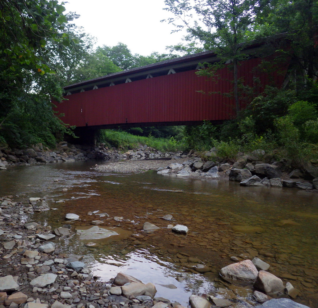
In the southern end of the park, Everett Road Covered Bridge has been rebuilt to demonstrate this once common construction method.
Peak Season
Fall
Hours
https://www.nps.gov/cuva/planyourvisit/hours.htm
Fees
None
Road Conditions
All roads paved
Camping
There is no official campground in the park, but there are a variety of other lodging options including the historic Inn at Brandywine Falls.
Related Sites
Allegheny Portage Railroad National Historic Site (Pennsylvania)
James A. Garfield National Historic Site (Ohio)
First Ladies National Historic Site (Ohio)
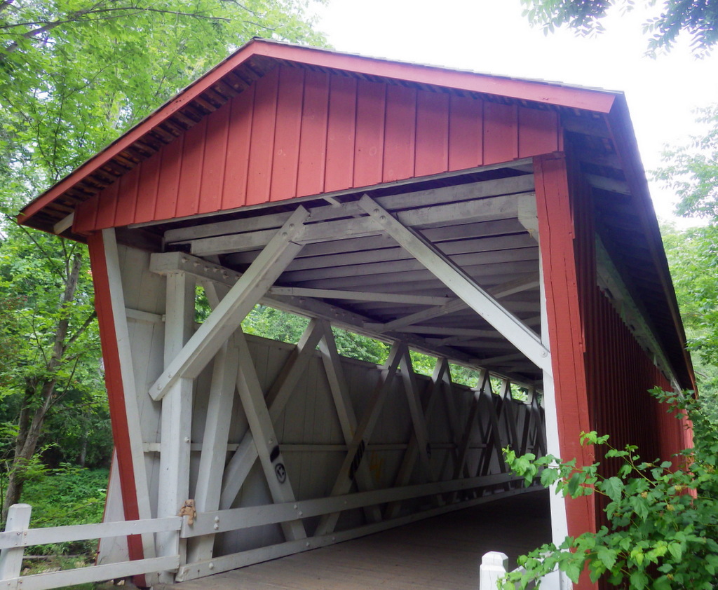
Everett Road Covered Bridge 
Brandywine Falls overlook 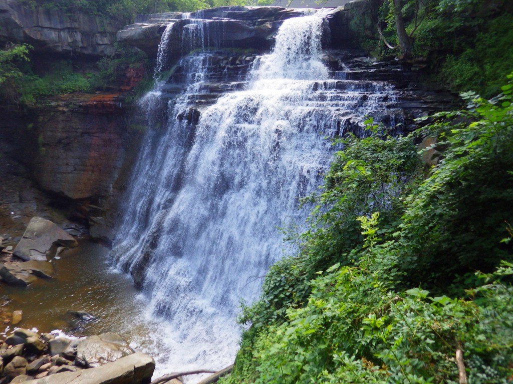
Brandywine Falls 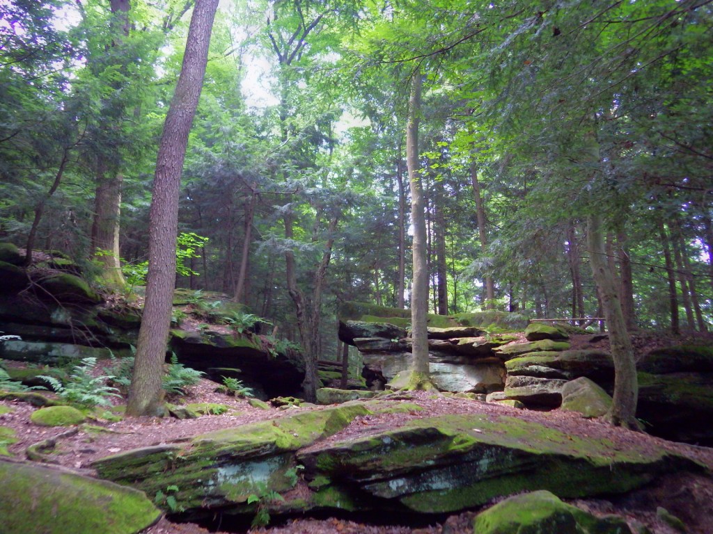
Ledges Loop Trail 
Ledges Loop Trail 
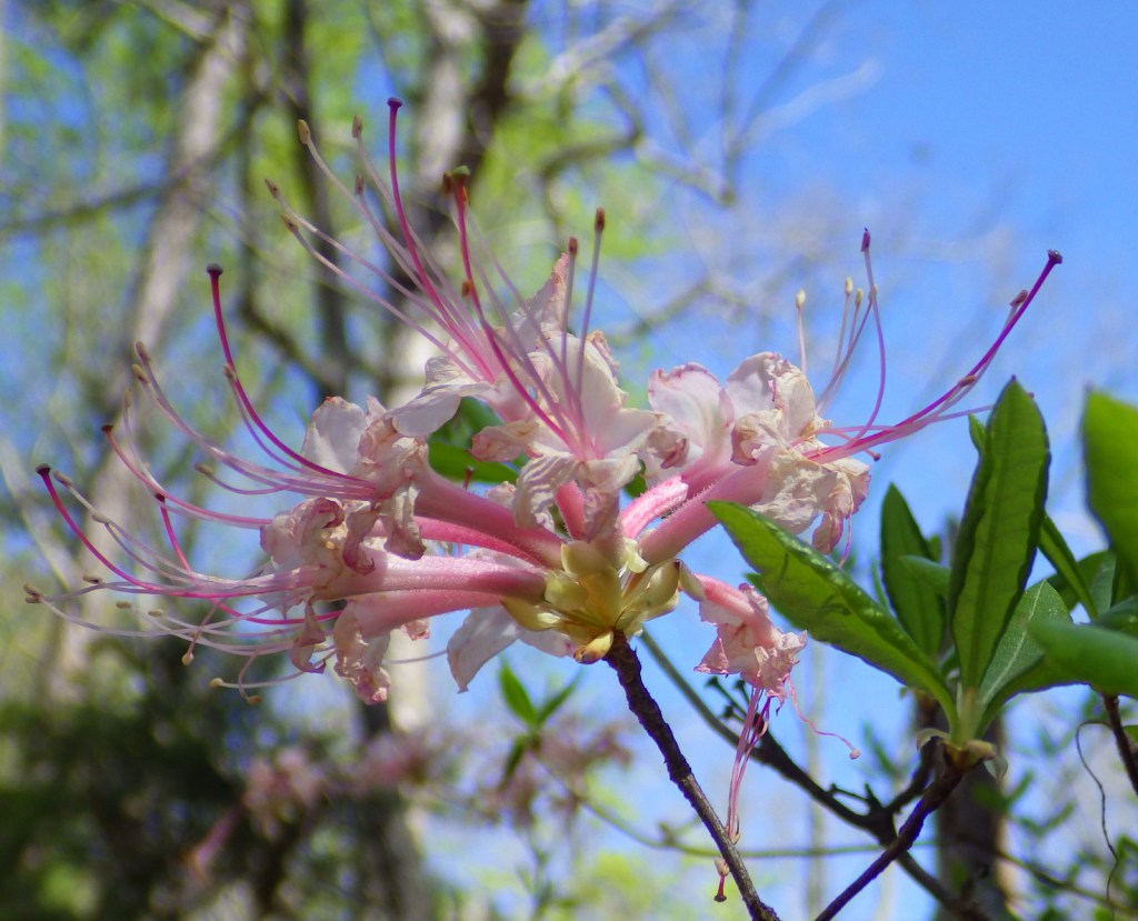
Wood lily 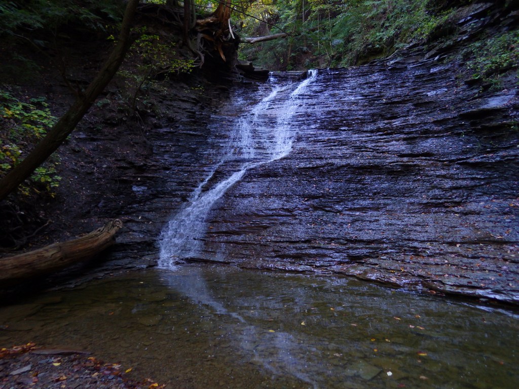
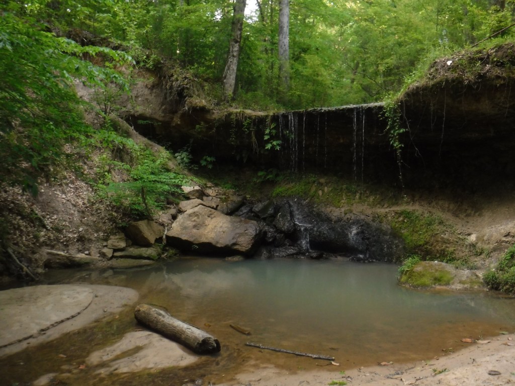
Buttermilk Falls 
Northern water snake (non-venomous) 
Tiff below Buttermilk Falls 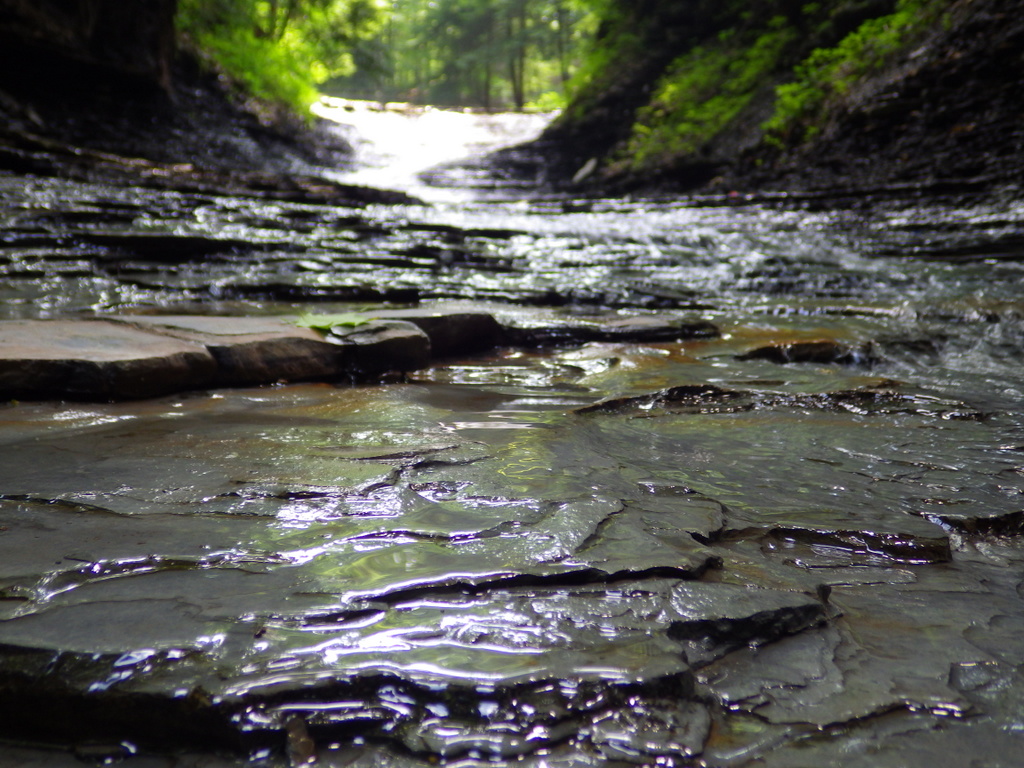
Bridal Veil Falls 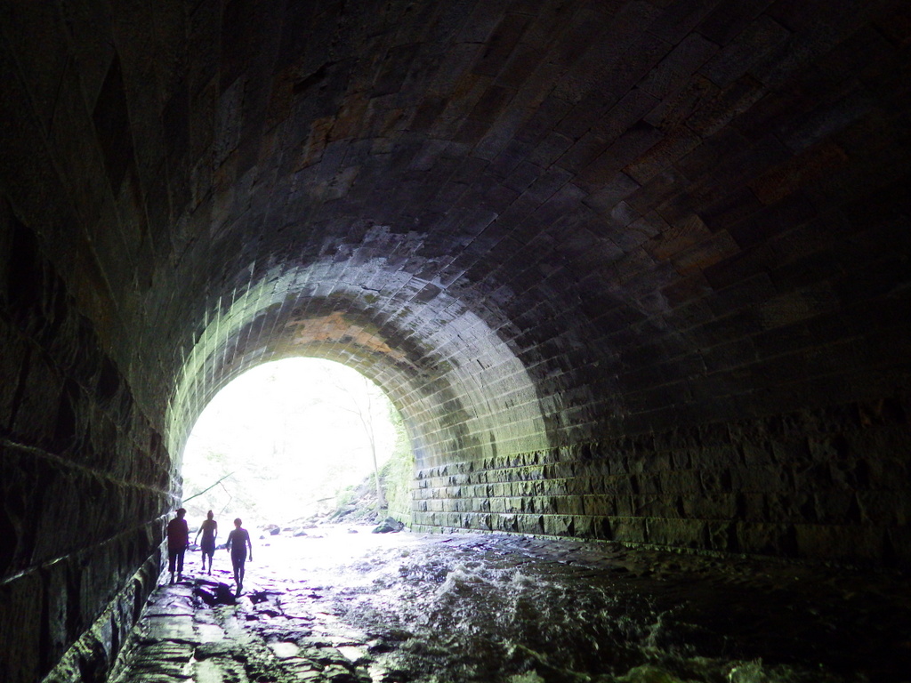


Explore More – Who manages the Hale Farm and Village where costumed re-enactors bring history to life?

We are a participant in the Amazon Services LLC Associates Program, an affiliate advertising program designed to provide a means for us to earn fees by linking to Amazon.com and affiliated sites.