Overview
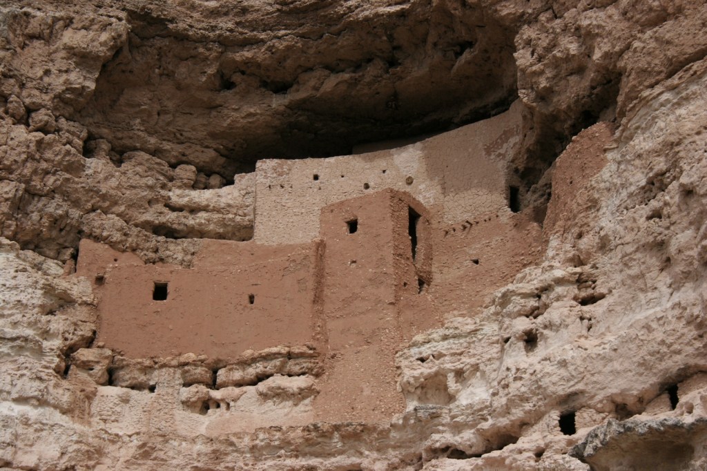
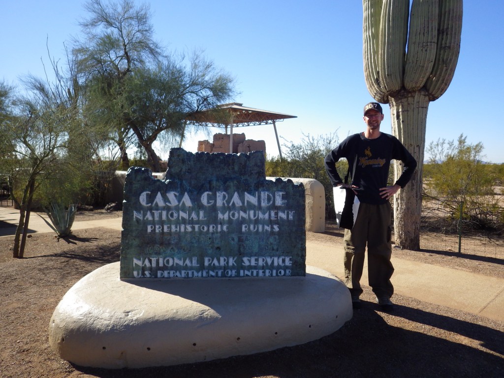
The ruins of this four-story pueblo in Coolidge, Arizona were originally protected as Casa Grande Reservation in 1892, the first time an archaeological site was given this designation by the federal government. The National Park Service (NPS) took over management in 1918 when it was named a National Monument and in 1932 a protective cover was designed by Frederick Law Olmsted to prevent further erosion. It is hard to believe when looking around the desert today, but the Hohokom farmed the Gila River Valley for over a thousand years until abandoning the area in the mid-1400s. To accomplish this feat, they dug nearly a thousand miles of irrigation canals measuring 10 feet wide and 10 feet in depth.

Highlights
Museum, film, ruins
Must-Do Activity
Its name means “Big House” in Spanish and you will see why when you take the short, flat walk (handicap accessible) around the multi-story ruin and ballcourts. Built in the early 1300s, the pueblo was only inhabited for about a century. The NPS runs an excellent museum at the site that shows an introductory film. The nearby Hohokam Pima National Monument shows up on NPS maps (and is counted in the 420+ units in the NPS system), but the O’odham do not allow access to the site on their reservation.
Best Trail
None
Instagram-worthy Photo
There are pigeons instead of ravens at this NPS site.

Peak Season
Winter
Hours
https://www.nps.gov/cagr/planyourvisit/hours.htm
Fees
None
Road Conditions
All roads paved
Camping
No camping at the NPS site, but options are available nearby in Tonto National Forest and Picacho Peak State Park (right off Interstate 10).
Related Sites
Tonto National Monument (Arizona)
Tuzigoot National Monument (Arizona)
Saguaro National Park (Arizona)
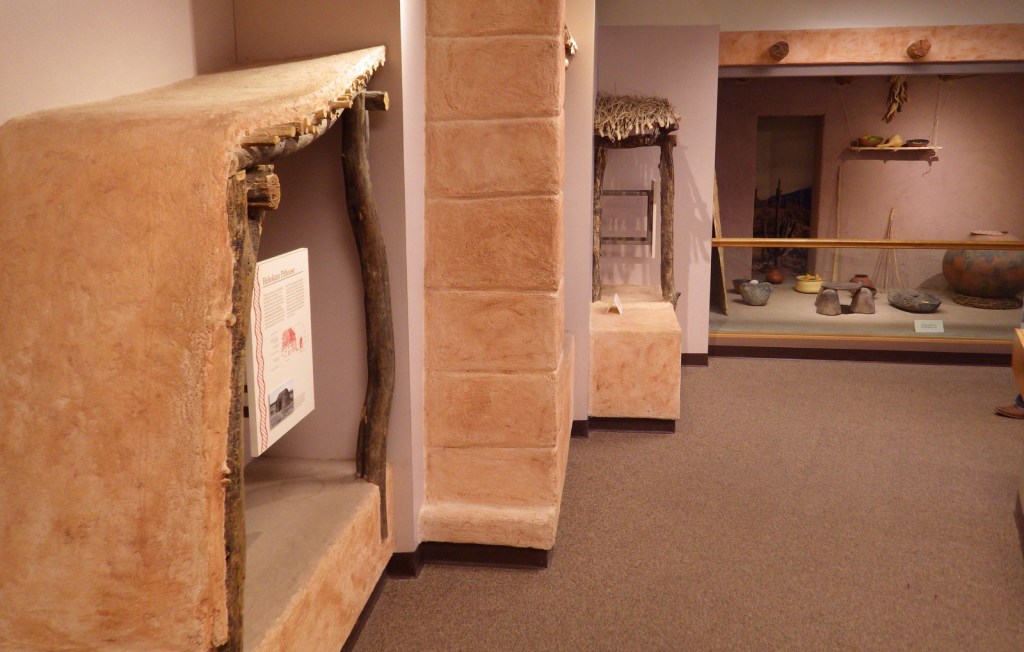
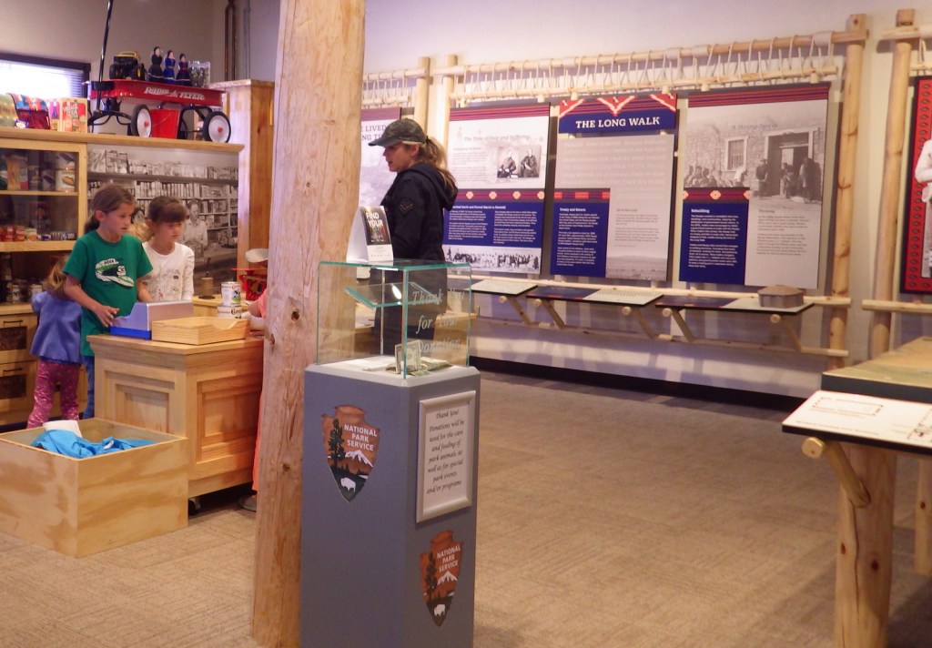
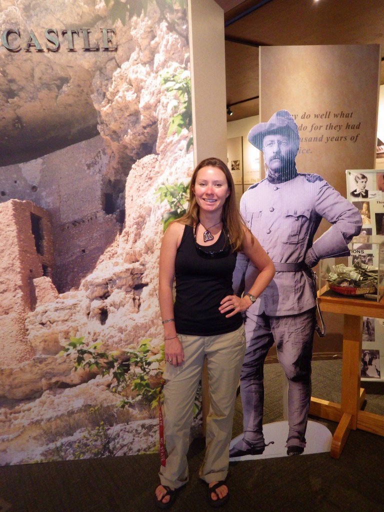
Inside the NPS museum 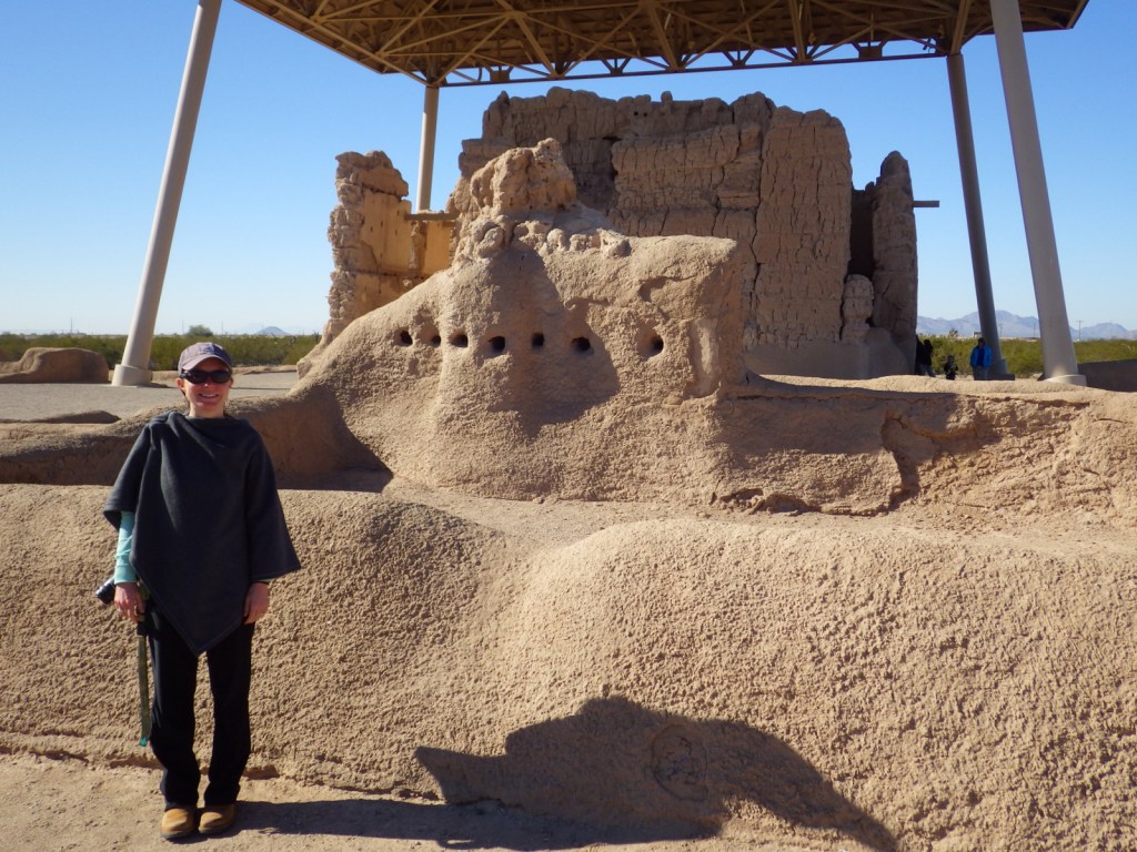


Pigeon
Explore More – In 1694, who was the famous Jesuit priest that became the first European to see Casa Grande?