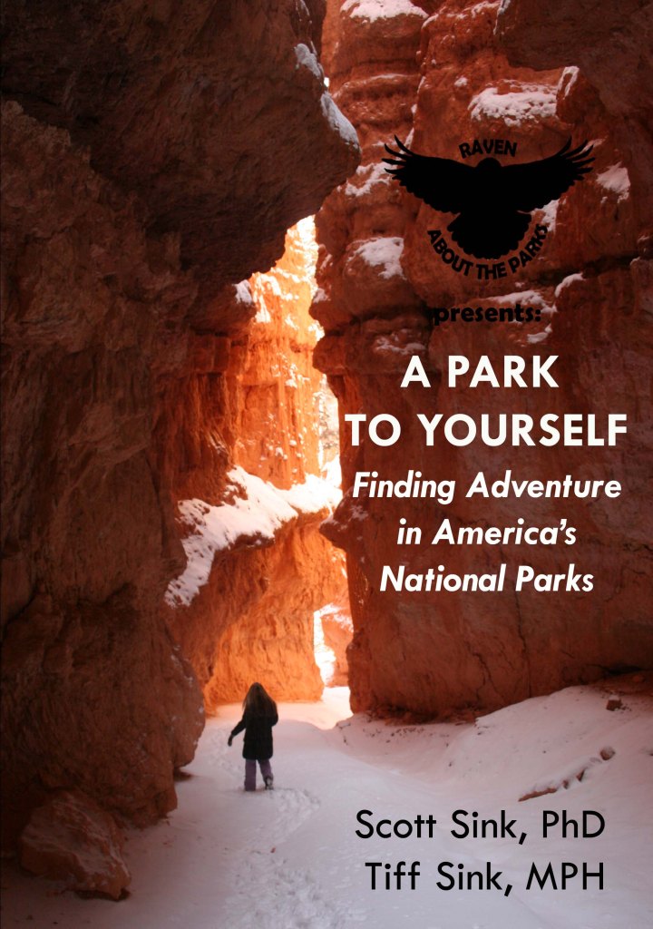
We are proud to announce the publication of our first guidebook to the National Parks (available on Amazon).
A Park to Yourself: Finding Adventure in America’s National Parks covers all 62 National Parks, with an in-depth focus on the 50 most developed, including Indiana Dunes National Park, established in February 2019.
The goal of the book is to inspire great adventures for
every type of visitor to America’s National Parks: first-timers and frequent
travelers, RVers and tent campers, families and solo trekkers, backpackers and
daytrippers, thrill-seekers and photographers, and everyone in between.
The guidebook includes detailed descriptions of the best
places to hike, take photos, and see wildlife.
If you are camping in a tent, RV, or prefer not to camp at all, we
include the logistics you need to know.
We identify the peak months of visitation and the busiest places in each
park, whether you are attracted to those spots or want to avoid them
altogether. Seeking solitude? We provide ideas of where to find it in A Park to Yourself.
So get out there and start your own National Park adventure!
We are a participant in the Amazon Services LLC Associates Program, an affiliate advertising program designed to provide a means for us to earn fees by linking to Amazon.com and affiliated sites.
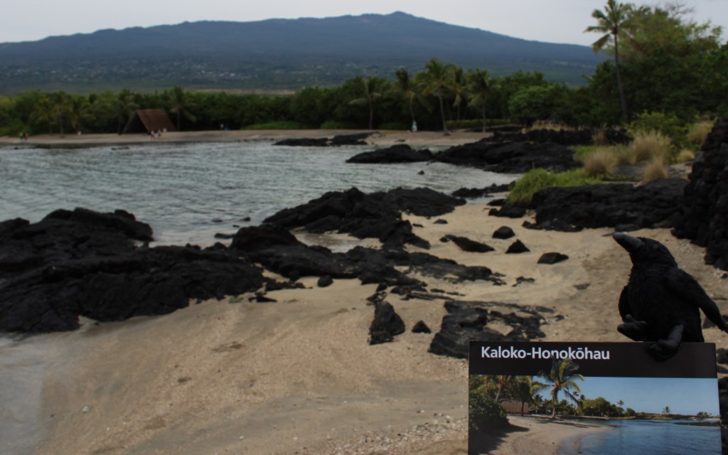
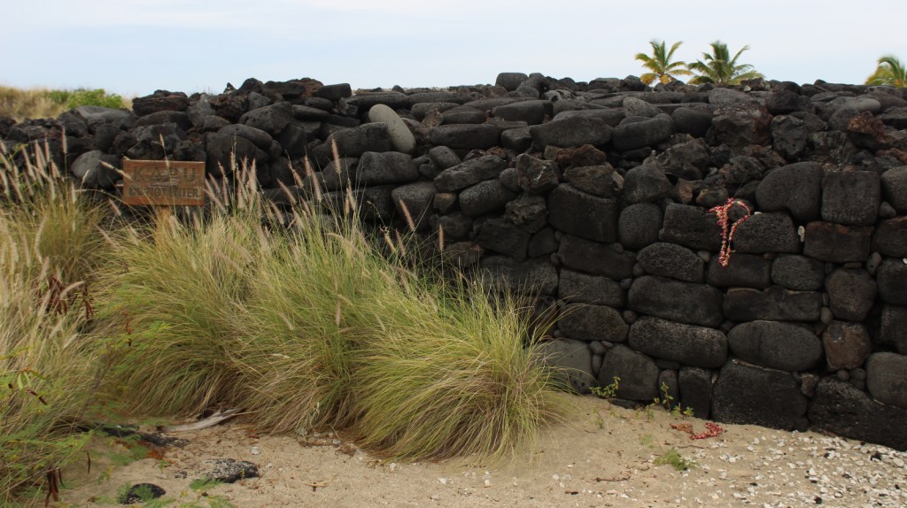
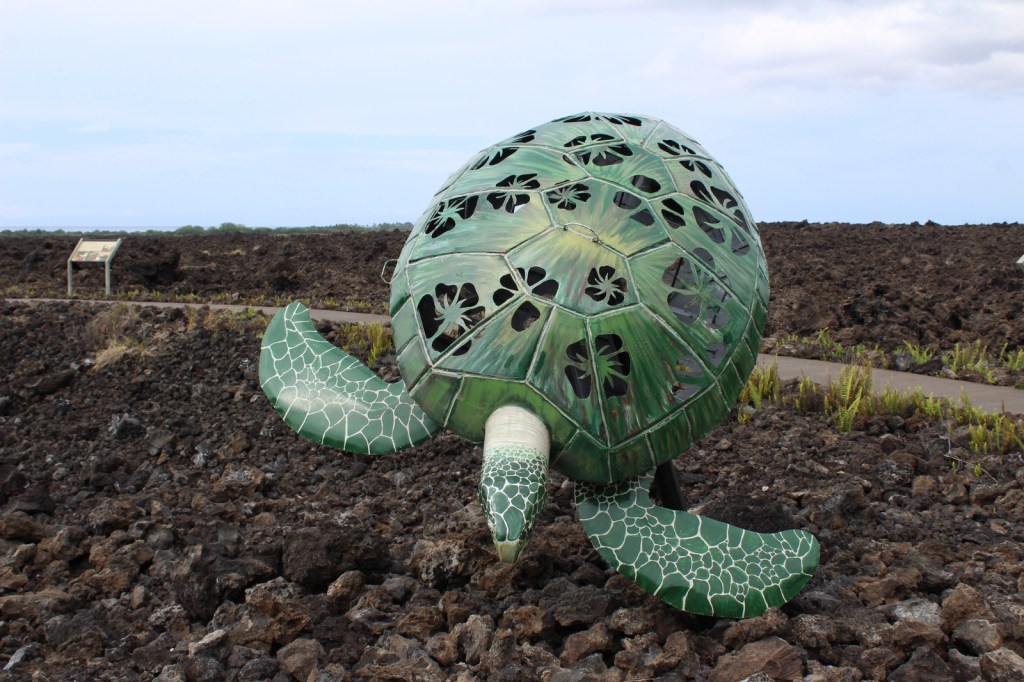
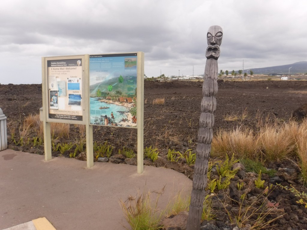
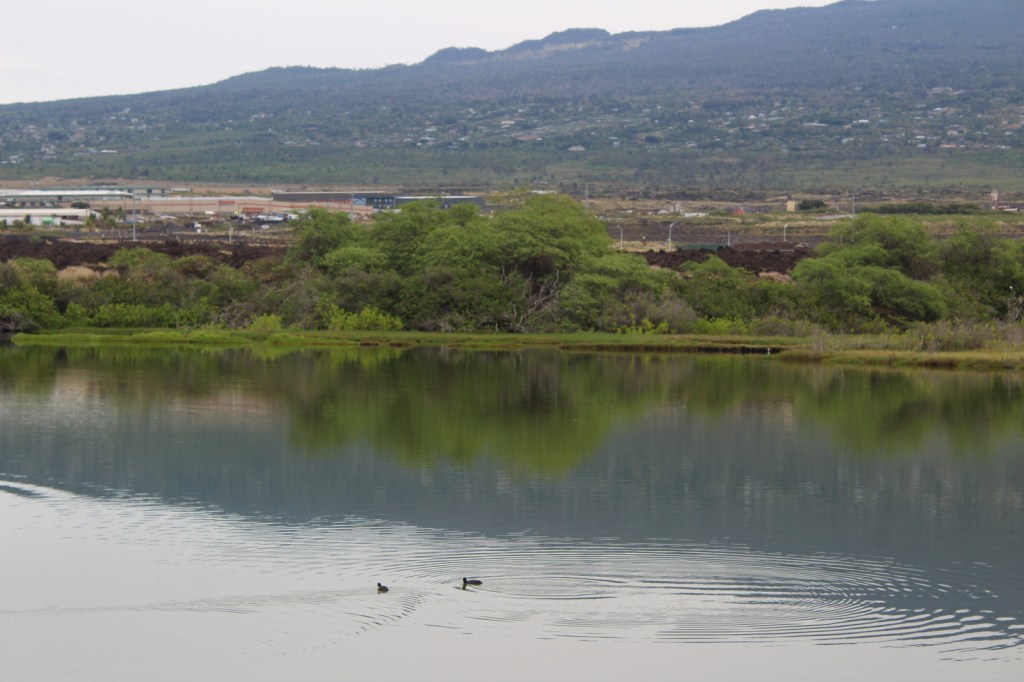
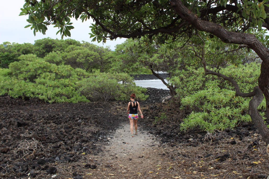
On the west coast of the Big Island of Hawai‘i, Kaloko-Honokōhau National Historical Park was established in 1978, the same year the green sea turtles were federally listed as a threatened species. This park’s current population of 130 long-term resident juvenile turtles is believed to be a direct result of that protection. The honus (green sea turtles) are visible both in the clear ocean water and onshore in haul-outs.
Highlights
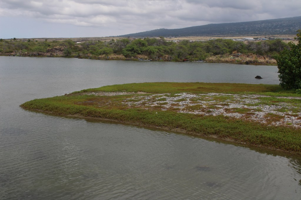
Honokōhau Beach, ‘Ai‘ōpio fishtrap, heiau (temple), Ala Kahakai National Historic Trail, Kaloko fishpond, green sea turtles
Must-Do Activity
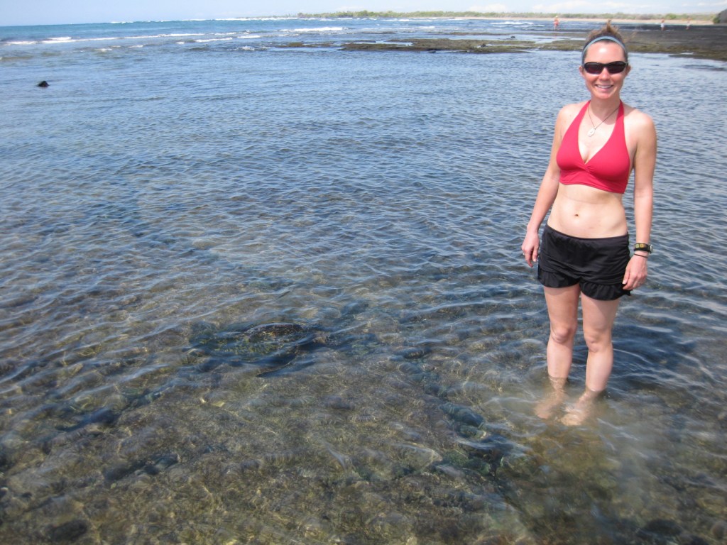
Just like wading humans, green sea turtles are attracted to
the shallow, calm waters created by the ‘Ai‘ōpio fishtrap, an artificial reef
built of black lava rock. Some of these
young sea turtles already weigh 140 pounds!
Please refrain from touching or lifting the turtles. Instead, sit in the sun on a white gravelly
beach to watch the methodical paddling of these ancient reptiles on this
undeveloped portion of coast on the largest island in the United States.
Best Trail
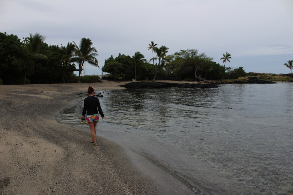
Visitors cannot park at the beach, instead they have to walk
a half-mile one-way, which keeps the numbers down. Two historic trails go to fishponds in this
dry, volcanic landscape.
Instagram-worthy
Photo
At Honokōhau Beach, next to the ‘Ai‘ōpio fishtrap is a reconstructed hālau (long house), a nice spot to take a break in the shade.
This sea turtle was distinctively adorned with several large barnacles growing on his back. We called him “Barney.” National Park Service visitor centerDriving to Kaloko FishpondKaloko FishpondTiff at Kaloko FishpondKaloko FishpondTiff on the Ala Kahakai National Historic Trail Scott on the Ala Kahakai National Historic Trail ‘Aimakapa Fishpond with Hawaiian cootsTiff on the Ala Kahakai National Historic Trail
Explore More – What
did native Hawaiians use to line their 150-foot long hōlua (stone slide) for
racing toboggan-like sleds?
We have now created black-and-white designs for 50 National Parks, which are for sale on T-shirts and a variety of other products through Amazon and Café Press. Each of the logos is special to us, but we wanted to share the ones we liked best (check out our other Top 10 Lists). On our Café Press page, our original designs can be printed on mugs, pillows, stickers, and clothing. With the holidays coming up, they might make the perfect gift for the National Park fan in your life.
10. Yosemite National Park (California) depicts the view of Half Dome and Yosemite Valley from Glacier Point
We are a participant in the Amazon Services LLC Associates Program, an affiliate advertising program designed to provide a means for us to earn fees by linking to Amazon.com and affiliated sites.
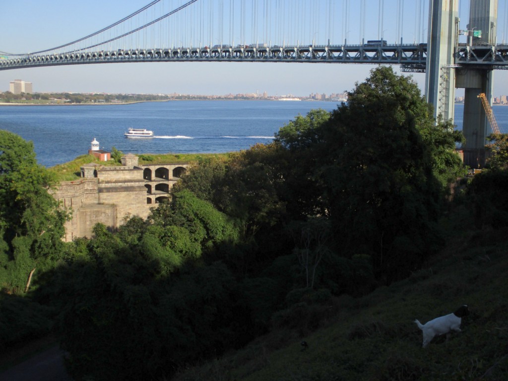
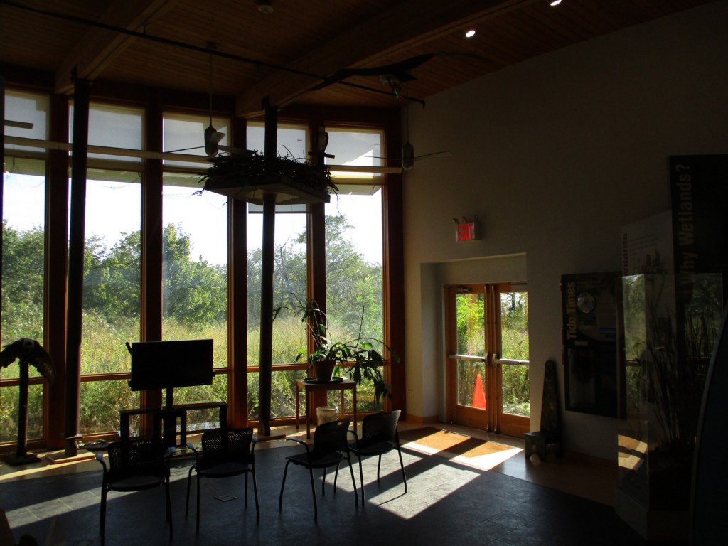
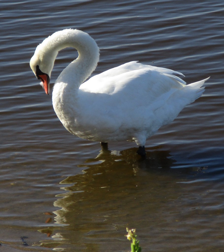
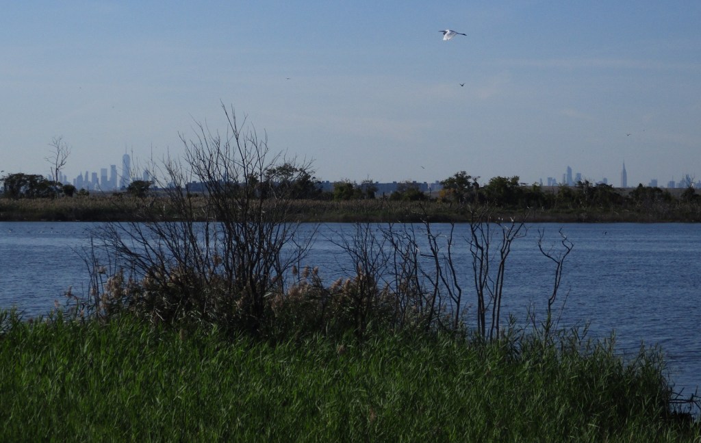
Approximately 9-million visitors utilize the 26,600 acres of Gateway National Recreation Area annually, ranking it the fourth busiest unit in the National Park Service (NPS) System. This is not surprising when you consider the number of people that live around New York Harbor. The park is divided into three units: New Jersey’s Sandy Hook, and New York’s Staten Island and Jamaica Bay.
Highlights
Fort Wadsworth, Sandy Hook Lighthouse, Fort Hancock, Floyd
Bennett Field, Jamaica Bay Wildlife Refuge
Must-Do Activity
On Staten Island, tours are offered of Fort Wadsworth, which
sits at the base of the beautiful Verrazano-Narrows Bridge to Long Island. It was part of the coastal defense system created
to protect New York Harbor in the 1800s, which is clearly displayed at the outstanding
NPS museum on the cliff above Fort Wadsworth.
In 1913, President William Howard Taft attended a ceremony dedicating
the National American Indian Memorial to be built inside the fort, but it never
came to fruition because of World War I.
Best Trail
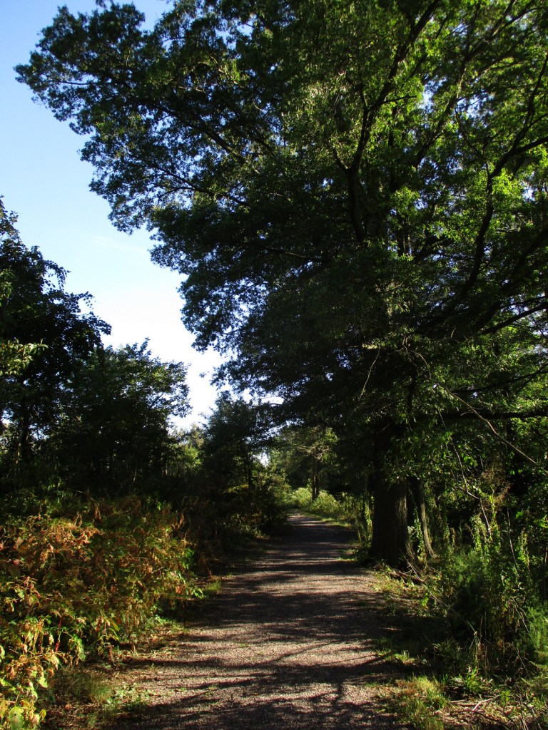
Jamaica Bay Wildlife Refuge is a great spot for birdwatching
or watching airplanes take off and land at JFK Airport. The trail around West Pond takes about an
hour to walk and feels worlds away from Manhattan, which is visible on the skyline.
Instagram-worthy
Photo
The Sandy Hook Unit of Gateway National Recreation Area is located on a spit of sand that sticks out from the New Jersey shoreline. It offers beaches, tours of Fort Hancock, and a lighthouse that dates back to 1764 (making it the oldest continuously operated one in the U.S.). For photos of Sandy Hook, check out our fellow National Park blogger Theresa’s website. Below is one of her excellent photographs of Sandy Hook Lighthouse.
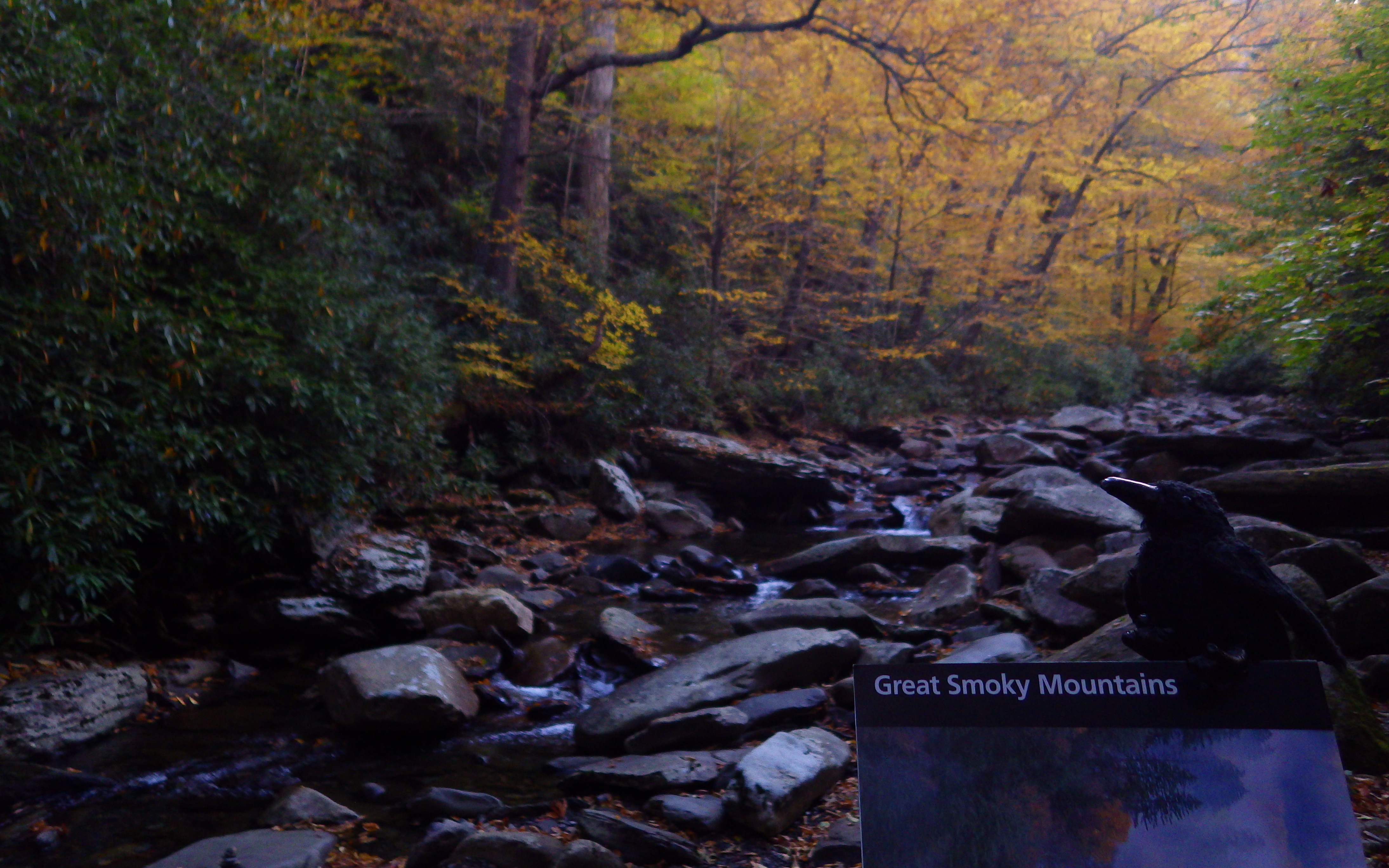
Great Smoky Mountains National Park straddles the border of Tennessee and North Carolina, with both sides offering incredible views. The park is similar to Shenandoah National Park in that it was mostly purchased from private landowners before its establishment by the federal government in 1934. With around 11-million visitors annually, it is easily the most visited of the 62 National Parks in the National Park Service system, perhaps because it has no entrance fee.
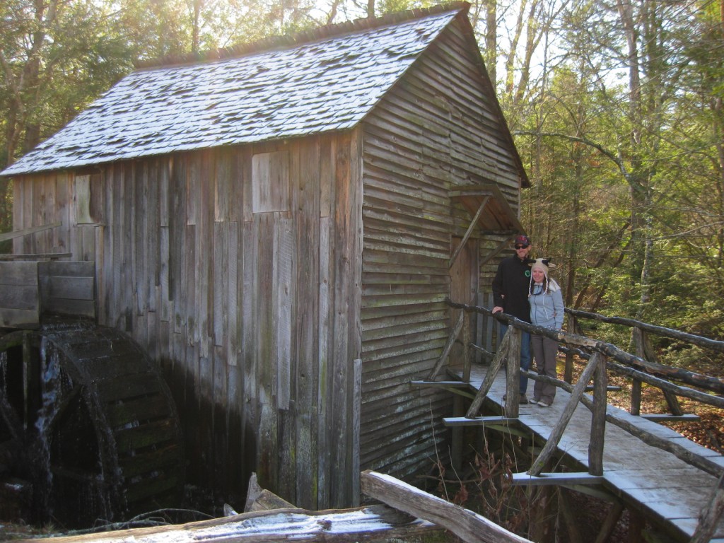
Many interesting sections of Great Smoky Mountains National
Park preserve the human history of the region, like the popular Cades Cove with
its iconic old grist mill. To learn more
about the Cherokee indigenous to this region, visit Oconaluftee Visitor Center
on the North Carolina side. While there
you might also spot a herd of reintroduced elk.
Best Trail
Even on the bumper to bumper Roaring Fork Motor Nature
Trail, all you have to do is park and take a hike to find some solitude. Grotto Falls Trail passes through old-growth
hemlock forest, an area very popular with black bears.
Instagram-worthy
Photo
As you can imagine, this park is incredibly popular in October and November because of the beautiful fall foliage. Early in the season, head to 6,643-foot Clingman’s Dome, then drop in elevation as the autumn progresses.
Newfound Gap Road is the major thoroughfare connecting the two sides of the park and it is plowed throughout the winter. The 11-mile loop road through Cades Cove is open year round, but the 7-mile spur road up to Clingman’s Dome and the 6-mile one-way Roaring Fork Motor Nature Trail are seasonal.
Camping
There are 10 campgrounds within Great Smoky Mountains
National Park, but if you need RV hookups you will have to find a private
campground outside the park.
Explore More – While most National Parks do not allow dogs on trails, what are the two trails in Great Smoky Mountains National Park that do?
We are a participant in the Amazon Services LLC Associates Program, an affiliate advertising program designed to provide a means for us to earn fees by linking to Amazon.com and affiliated sites.
Start your U.S. National Parks, National Forests, and National Monuments adventure here!