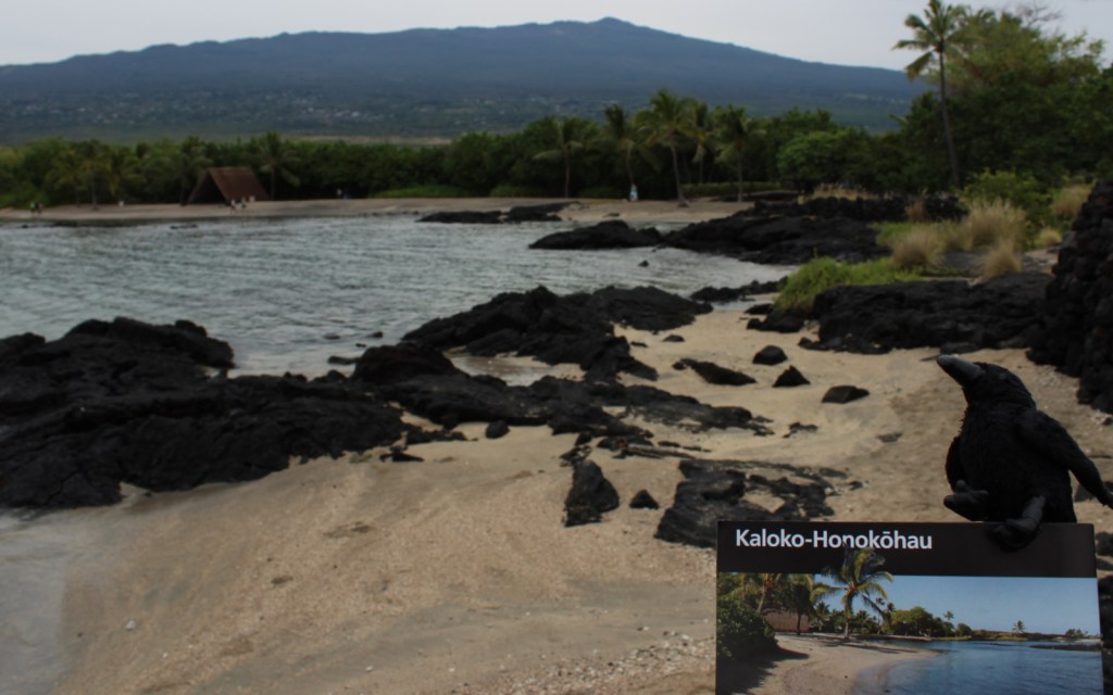
Since we published our first guidebook to the National Parks today (available on Amazon), we wanted to share the Introduction we wrote to explain why we took on this project. A Park to Yourself: Finding Adventure in America’s National Parks contains 155 black-and-white photographs, but not all of our favorites made it into the book so we included the best excluded photos, too.

Introduction to A Park to Yourself
Purpose of this Guidebook
Our goal is to inspire great adventures for every type of visitor to America’s National Parks. These wild places were set aside to be shared, and we believe in the importance of introducing them to a new generation of National Park enthusiasts. This guidebook is for everyone from families with small children to thrill-seekers. Even if you have been to every National Park or none at all, in these pages are new ideas for first-timers and frequent visitors to each site. So, whether you want to go hiking, driving, camping, selfie snapping, or backpacking, we have your options covered.
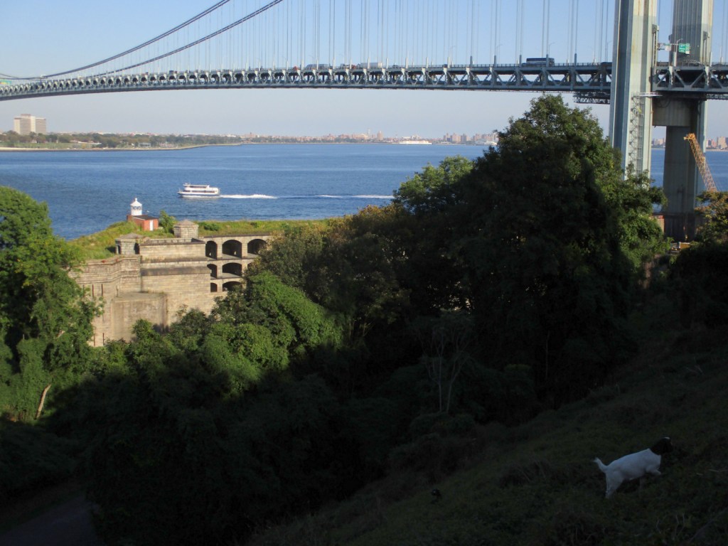
Every visitor is looking for different experiences in National Parks and we aim to cover the diversity of opportunities each park has to offer. Even Florida’s tiny Dry Tortugas (at 40 acres the smallest park by landmass in this book) can provide a variety of experiences: learning history on a ranger-led tour of a coastal fort, sunbathing on a white-sand beach, taking incredible photographs, snorkeling a coral reef, birdwatching unique species, camping on a remote island, visiting lighthouses, or hiking on a paved seawall surrounded by turquoise water. That list does not even include the biggest adventure, which is getting to the park’s islands by ferry boat or floatplane.
Some experiences in National Parks are enhanced by sharing the wonders with a large gathering of people, like the evening bat flight at Carlsbad Caverns, eruptions of Yellowstone’s Old Faithful, or glacier calving in Kenai Fjords and Glacier Bay. We also recognize the desire to seek solitude in National Parks and have a personal experience with the natural world. Information on where to expect crowds is lacking in other guidebooks and it is one of the main reasons we wrote A Park to Yourself. While you must anticipate that you will see plenty of people in Yosemite Valley, there are other corners of that park you do not have to share with others.
Even though public lands are owned by everyone, there are admission fees for nearly every National Park in this book (with Great Smoky Mountains providing one notable exception). We believe all the parks offer a good value for their price. To save some money, check the National Park Service website (www.nps.gov) for the cost of annual passes, plus see if you qualify for discounted senior, access, and military cards that provide free entry and half-off on all tours and campsites.

About the Authors
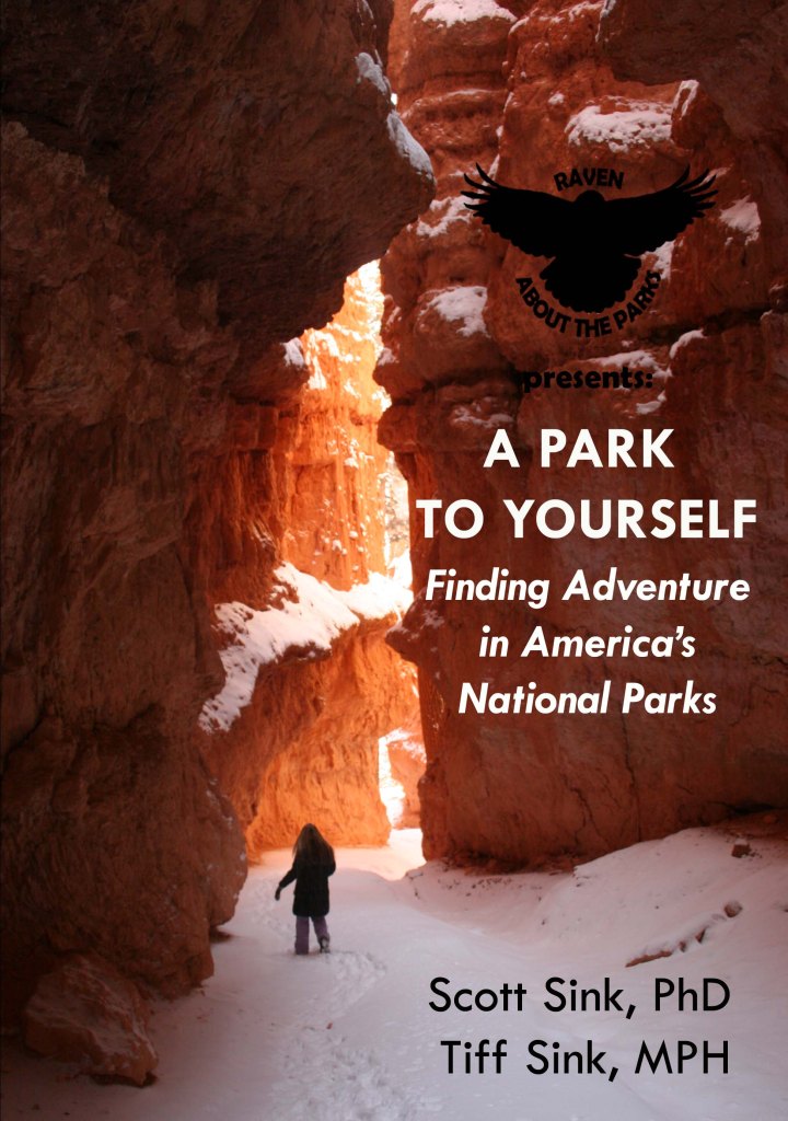
We love the National Parks of America. Some of our happiest memories together have been made in these special places set aside for the enjoyment of all. Early in our relationship, we took a weeklong camping trip through Utah’s National Parks (shown in the cover photo) and we have been traveling together ever since. In National Parks we have been awed by breaching whales, inspired by rushing waterfalls, engulfed in the warm sulphur steam of a fumarole, buried in a tent under a fresh layer of snow, overwhelmed by the roar of a calving glacier, awed by cave decorations, surrounded by a herd of bison, and submerged in the healing waters of a hot spring. Where else can you have this variety of life-changing experiences?
As of October 2019, there are 62 National Parks named among the 419 units in the National Park Service (NPS) system. Of the top 150 most visited NPS sites, 46 National Parks are ranked. Clearly, we are not the only ones who love visiting the National Parks, and you must be, too, since you are reading this book. However, we do not want to sit in traffic or follow a line of noisy day hikers when we are trying to commune with nature. Personally, we do not think that is why conservationists protected these unique landmarks and it is the main reason we wrote this guidebook. In these pages we cover all 62 National Parks, with an in-depth focus on the 50 most developed, including Indiana Dunes National Park, established in February 2019.
We have spent at least two days in each of the 50 highlighted National Parks and several weeks in places like Yellowstone and Great Smoky Mountains. If you try to see all of Grand Canyon, Glacier, or other large National Parks in one trip it is possible to feel overwhelmed, so you may not fully appreciate each overlook and hiking trail. To avoid burnout, it is important that you either plan rest days or plan to return. We have revisited most of the selected 50 National Parks on multiple occasions. We recommend that our readers do so, too. Each time is special, especially when you arrive at different times of the year.
We enjoy hiking, backpacking, kayaking, cross-country skiing, snowshoeing, and photography. However, you do not have to buy specialized gear to follow the recommendations within the guidebook. A sense of adventure and a good pair of hiking boots are the only equipment required. We know not everyone wants to go camping in a National Park, and there are always lodging options within and nearby for those who prefer to take day trips. We have found that you do not have to backpack dozens of miles to savor solitude on America’s public lands. To reach many of the most spectacular views in National Parks often requires only a short walk. Even in the most heavily-visited National Parks, it is possible to have a unique and personal experience if you just get out there.

How to Use this Guidebook
The purpose of this guidebook is to help you, the reader, enjoy not just the popular spots in America’s National Parks, but also to have a unique, personalized experience. This book is a starting place with suggestions, but the real fun is in finding your own adventure. It may be a little harder to see a park this way, but it is definitely worth the effort. The following is a breakdown of each section we cover for the 50 highlighted National Parks.
Overview
We give some basic background information you will want to know before visiting each park. In the section above this one, we provide the most recent annual visitation numbers, total acreage, and the year each area was officially designated a National Park.
Peak Visitation Months
Based on an average of data from the most recent years, we provide a ranking of the four busiest months with the percentage of annual visitors that arrive during that month. Some National Parks, such as Crater Lake and Glacier Bay, have short summer windows for visitation, while places like Joshua Tree and Haleakalā have evenly distributed numbers.
Busiest Spots
The busiest spots in each park are where you are most likely to encounter crowds. They are typically crowded for good reason, for example at an incredible waterfall or amazing overlook.
Worth The Crowds
Our choice for the one place you must visit in each National Park, regardless of how difficult it is to find a parking space.
A Park To Yourself
Sometimes it is nice to feel like you have an entire National Park all to yourself (or your small group of loved ones). It is easy to say, “Avoid crowds by going in the off season or at odd hours.” That is good advice, but not always practical. We try to balance the allure of a place with the feasibility of getting there.
Iconic Photograph
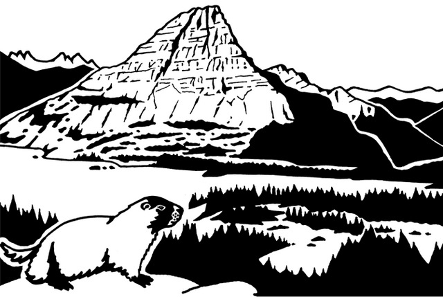
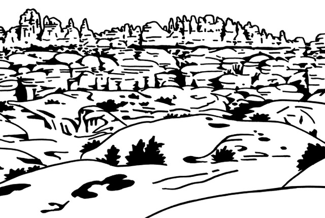
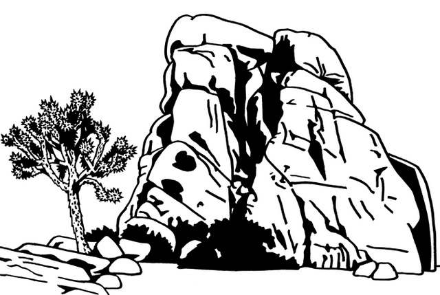
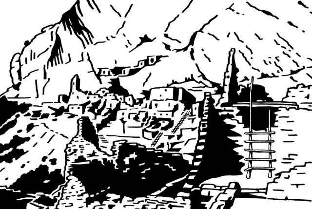
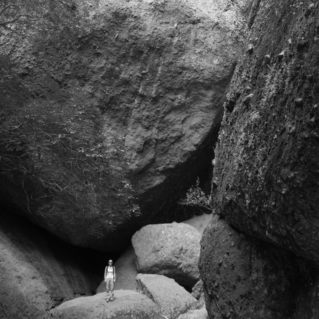
In this book we use black-and-white photography in homage to Ansel Adams, who did so much to popularize Yosemite and other parks with his stunning imagery. In this age of photo filters and picture enhancing software, there is something honest about a black-and-white photograph.

Favorite Trails
We share our two favorite trails (or tours in the caves) for each National Park, providing one that will likely be busy and one with less hikers. Typically, even the largest crowds will thin out within the first mile of a trail.
Camping
We provide information on whether you can find RV hookups in the NPS campgrounds or if you need to seek accommodations outside the park, as well as what seasons they take reservations. We also enjoy primitive camping on back roads managed by the U.S. Forest Service and Bureau of Land Management, and give specifics on those options when possible.
Backpacking
We have backpack camped in many National Parks, so we offer our recommendations on places to go, in addition to information on the logistics of getting permits at each park.
Getting Around
Not all roads in National Parks are paved, so we explain which ones actually require a high-clearance vehicle and should be avoided by RVs. We also cover seasonal road closures and whether a park offers shuttle buses for accessing trailheads and overlooks.
Nearby Public Lands
If you are like us, you are interested in other units within the NPS system, as well as National Forests, Wildlife Refuges, and State Parks. In this section, we offer a few recommendations for public lands to visit near the highlighted National Park.
Insider Tip
There is always something unique about each National Park that does not fit in any category, so we use this spot for those tidbits of information that are often left out of other guidebooks.
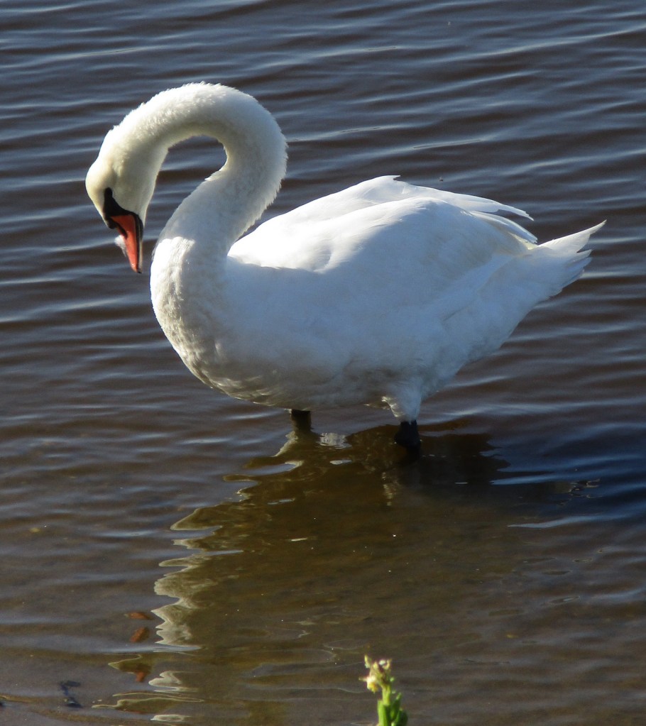
Wildlife
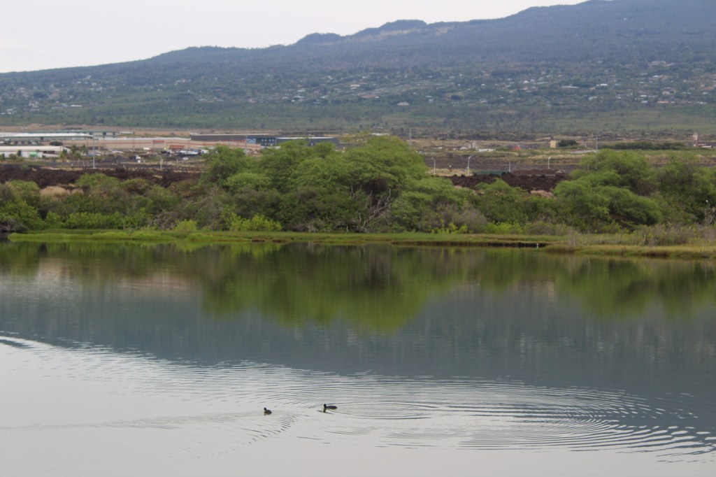
Many people visit National Parks specifically to watch and photograph wildlife. These are by no means exhaustive lists of all the species found in each park, but a good idea of what animals you can expect to see while touring. Oftentimes your car provides the best place to watch wildlife, as animals are used to vehicles and are not stressed by their presence, which may not be the case if you step out of your car.
Journal Entry
A first person account of an experience we had in a specific National Park. We try to match the photograph below with the event described.
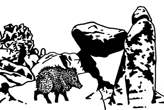
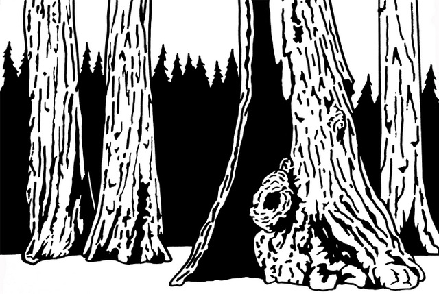
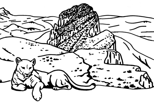
Illustrations
Scott has created graphics for each of the 50 highlighted National Parks, which we sell on a variety of products through our travel website Raven About The Parks (www.ravenabouttheparks.com).


We are a participant in the Amazon Services LLC Associates Program, an affiliate advertising program designed to provide a means for us to earn fees by linking to Amazon.com and affiliated sites.