Overview
In 1848, Seneca Falls was a small rural town in New York and it still remains that way, but on July 19 of that year it became the focus of the world when it hosted the first Women’s Rights Convention. Women’s Rights National Historical Park was established on seven acres here in 1980. Some of the National Park Service (NPS) museum exhibits have not been updated since then, but they still make you think, which is the important point.

Highlights
Museum, film, sculptures, 1843 Wesleyan Chapel, Declaration Park, Elizabeth Cady Stanton house
Must-Do Activity
Nearly two centuries after the convention, some positive changes have been made, but walking through the second-story NPS museum reminds you that we have a long way to go. The reactions in the newspapers from 1848 are not very different to those written in response to the women’s marches of 2017. Next door, visitors can enter the reconstructed 1843 Wesleyan Chapel where the two-day meeting was held and read the still relevant Declaration of Sentiments written during the convention. The NPS also offers free tours of the Elizabeth Cady Stanton house, a short drive away. Two other houses in Waterloo, New York are also part of the park.
Best Trail
There is a walking tour through historic downtown Seneca Falls that includes the National Women’s Hall of Fame (admission charged), only a short distance from the NPS museum.
Instagram-worthy Photo
Declaration Park between the NPS museum and the Wesleyan Chapel has a waterfall wall inscribed with the Declaration of Sentiments and its signers’ names.

Peak Season
Summer
Hours
https://www.nps.gov/wori/planyourvisit/hours.htm
Fees
None, except at the unaffiliated National Women’s Hall of Fame.
Road Conditions
All roads paved, but street parking is limited.
Camping
Cayuga Lake State Park has a large campground only 4 miles east of Seneca Falls, New York.

Scott outside the NPS visitor center 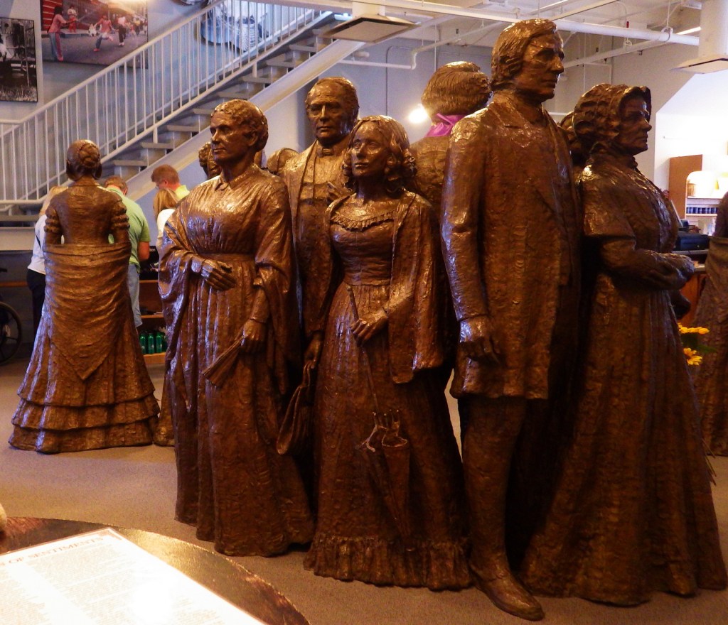
Sculptures inside the NPS visitor center 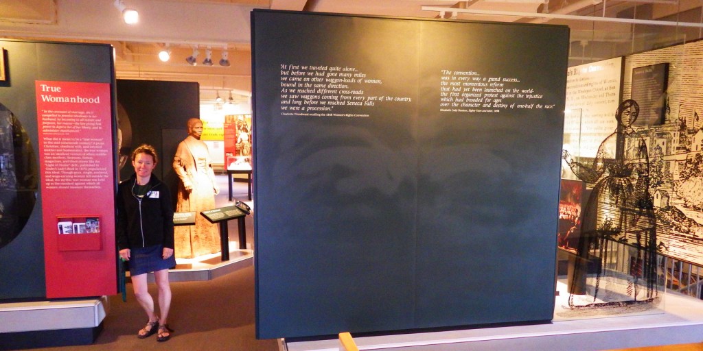
Tiff inside the upstairs museum 
Bustles gone wild 
Wesleyan Chapel 
Inside the Wesleyan Chapel 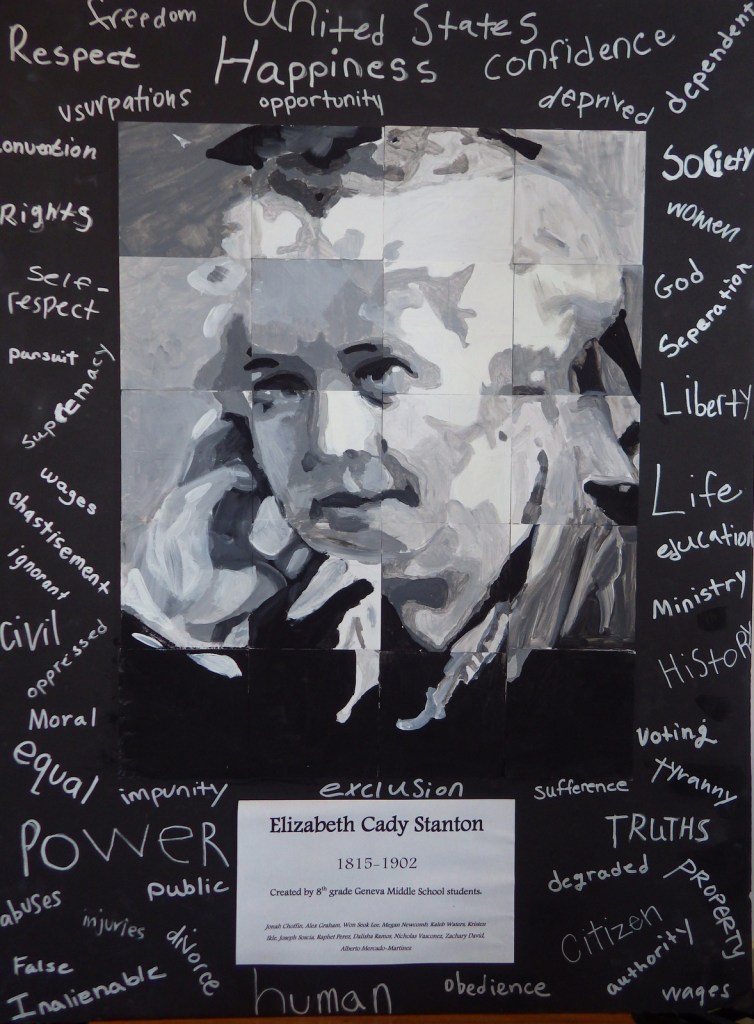
Artwork from the Geneva Middle School 
Elizabeth Cady Stanton’s house in Seneca Falls
Explore More – Why is there a sculpture of abolitionist Frederick Douglass in the lobby of the visitor center?